About this sheet
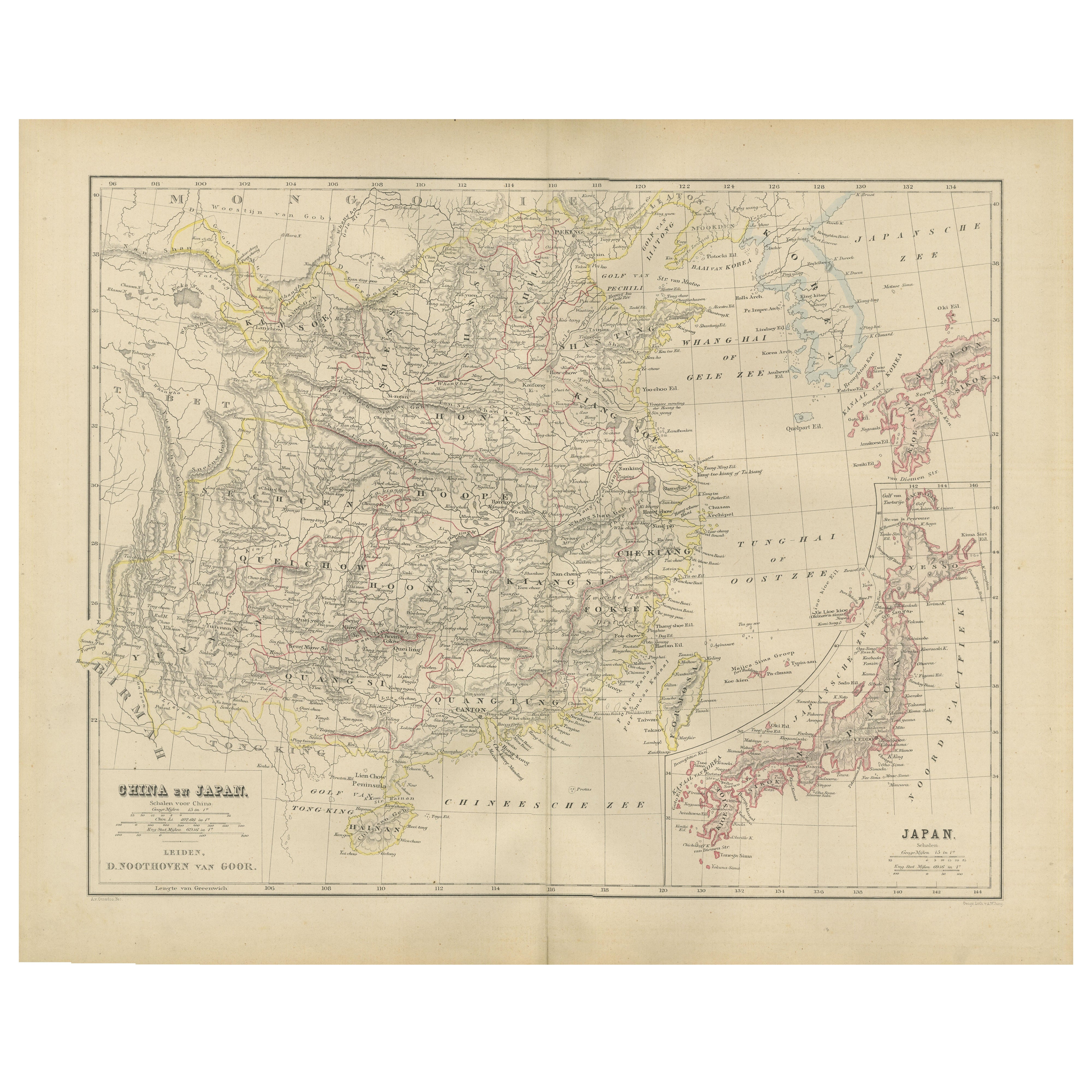
China and Japan Map with Korea – Nieuwe Hand-Atlas, Leiden 1876
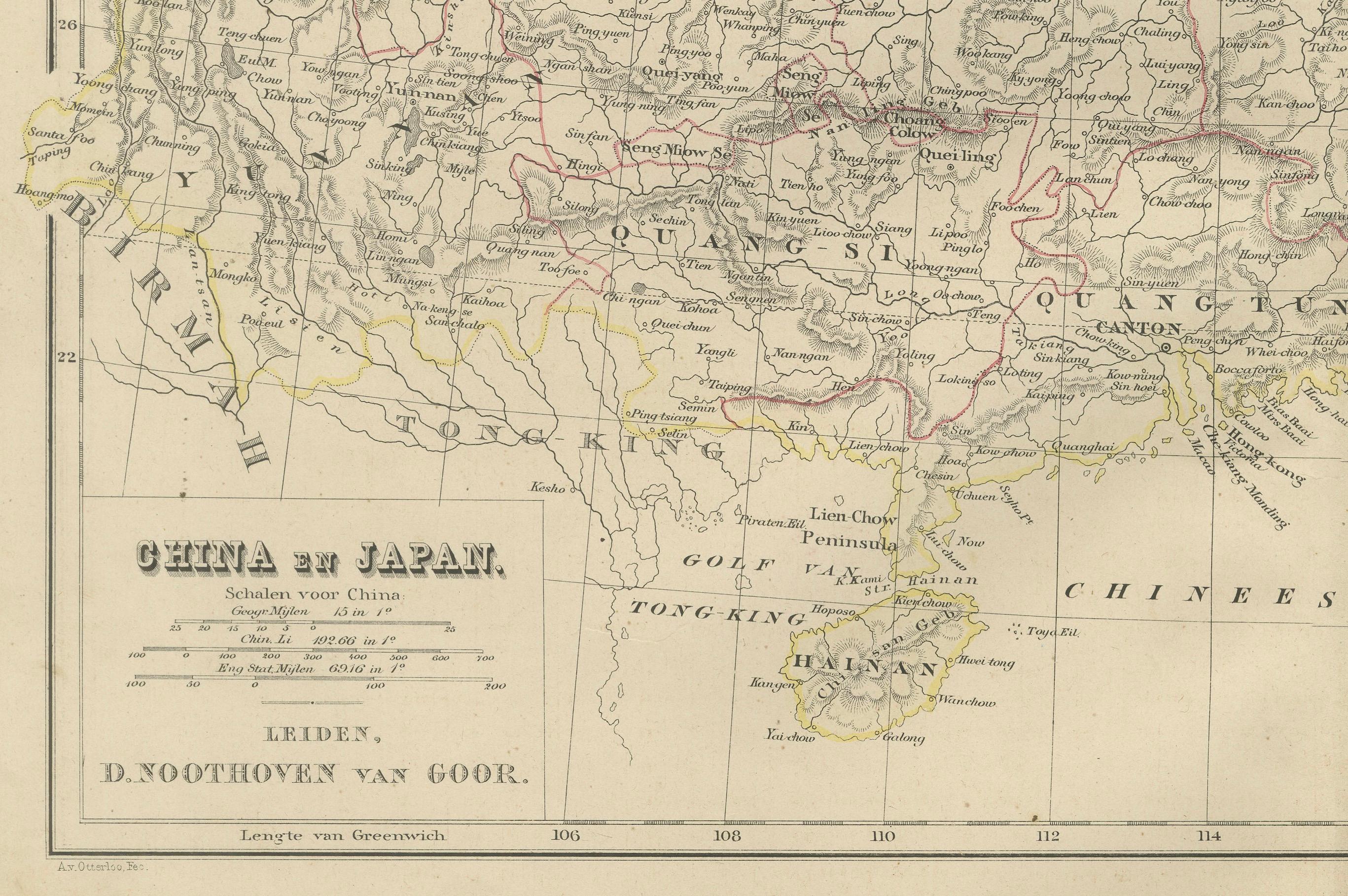
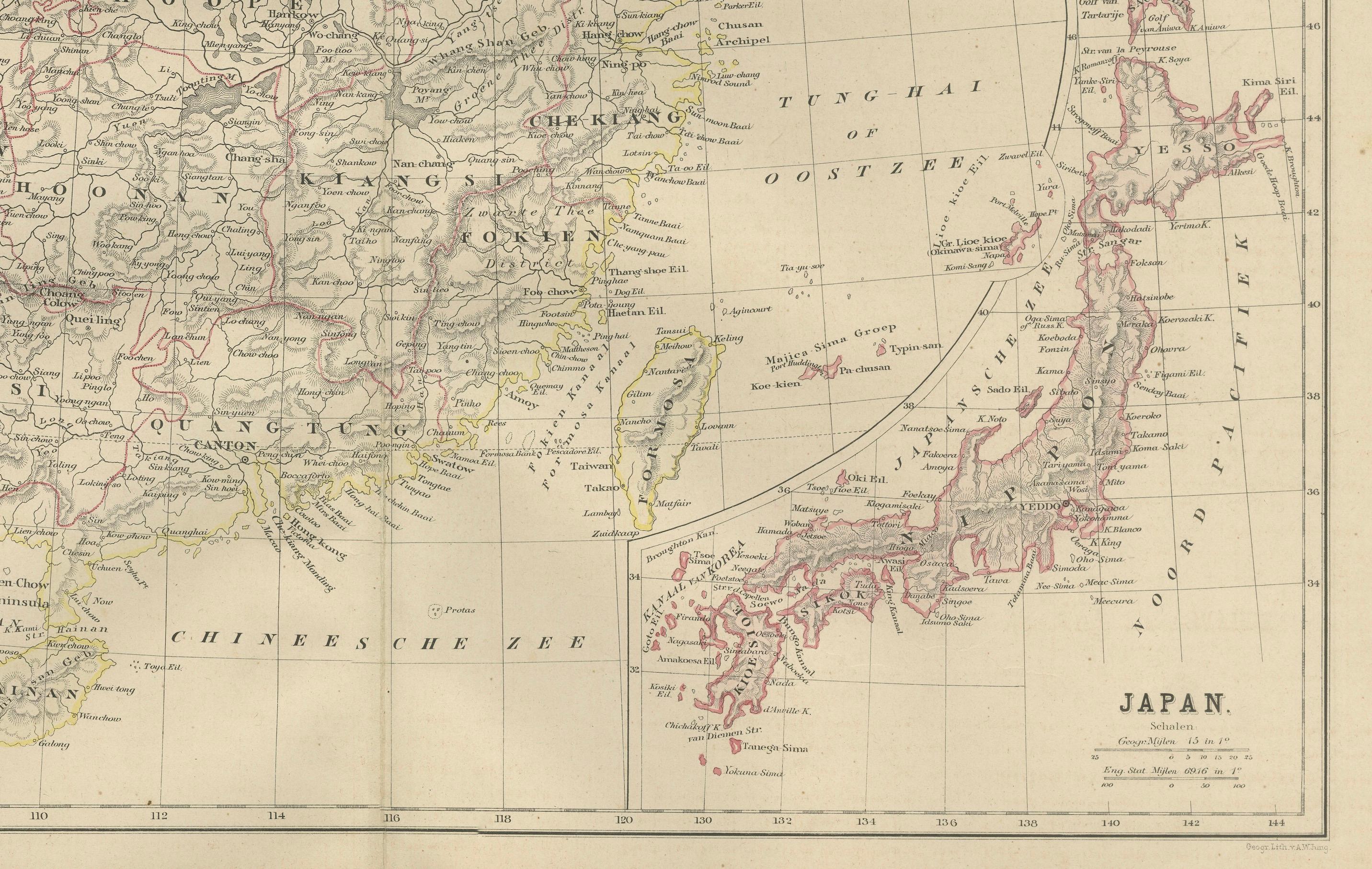
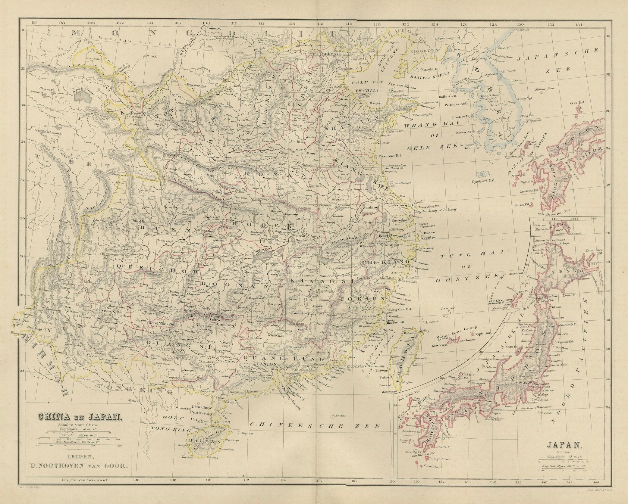
This finely engraved 19th-century map titled “China en Japan” presents East Asia during a pivotal historical moment, just as Japan was entering the Meiji era and China remained under the late Qing Dynasty. Published in 1876 in the *Nieuwe Hand-Atlas der Aarde in haren Tegenwoordigen Toestand* by M. Frijlink and revised by A. van Otterloo, the map was printed by D. Noothoven van Goor in Leiden. It delivers an exceptional view of China, Korea, and Japan with the detailed precision characteristic of Dutch cartography.
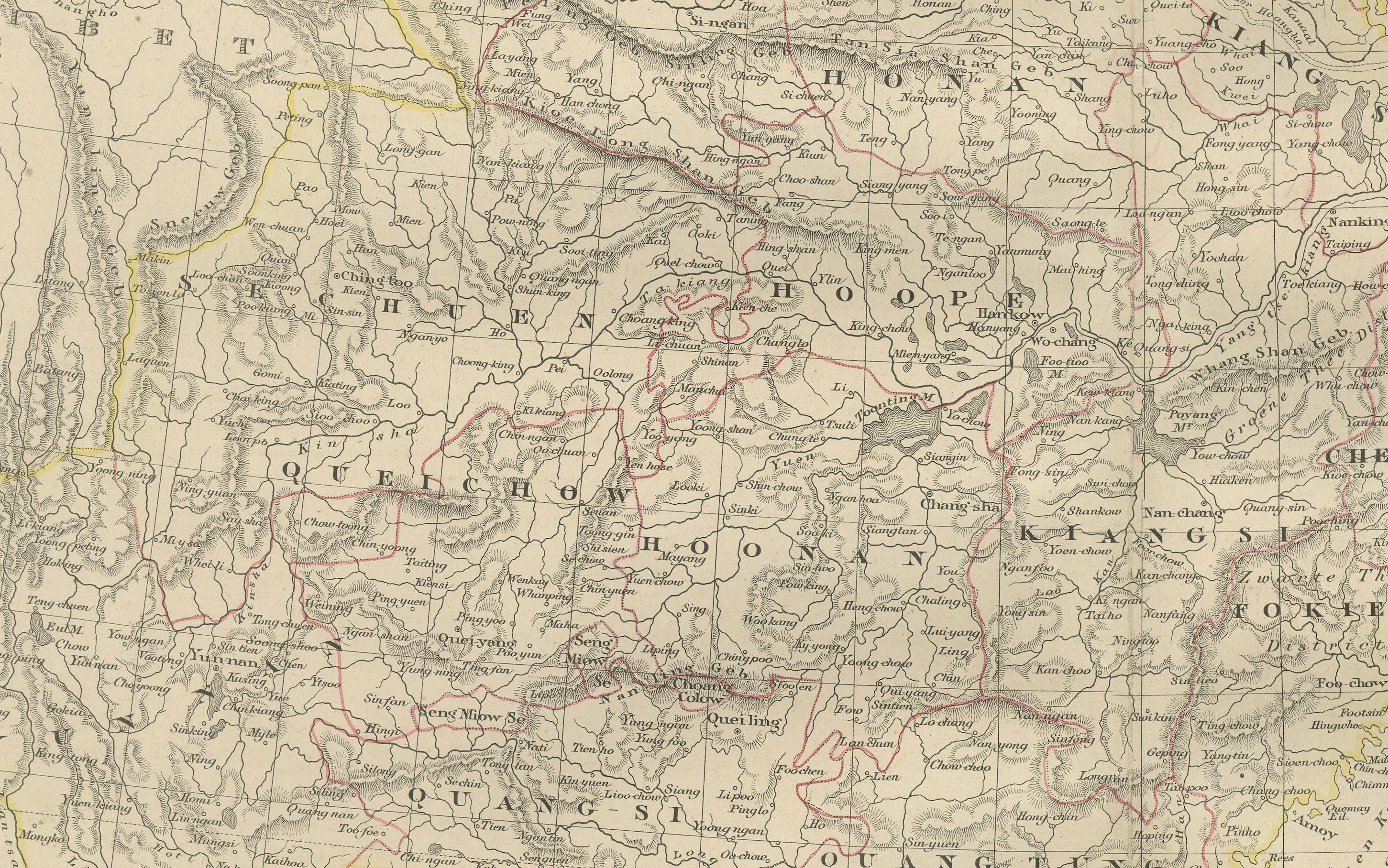
The left portion of the map covers the immense Chinese Empire, from Mongolia and the Gobi Desert in the north to Canton (Guangzhou), Hainan, and Formosa (Taiwan) in the south. Cities of great historical importance—including Peking (Beijing), Nanking (Nanjing), Shanghai, Hankow (Hankou), Chengtu (Chengdu), Canton, Foochow (Fuzhou), and Amoy (Xiamen)—are clearly labeled. The map shows river systems such as the Yangtze (Yang-tse-Kiang), Yellow River (Hwang-Ho), and Pearl River, as well as mountain ranges, trade routes, and frontier territories.
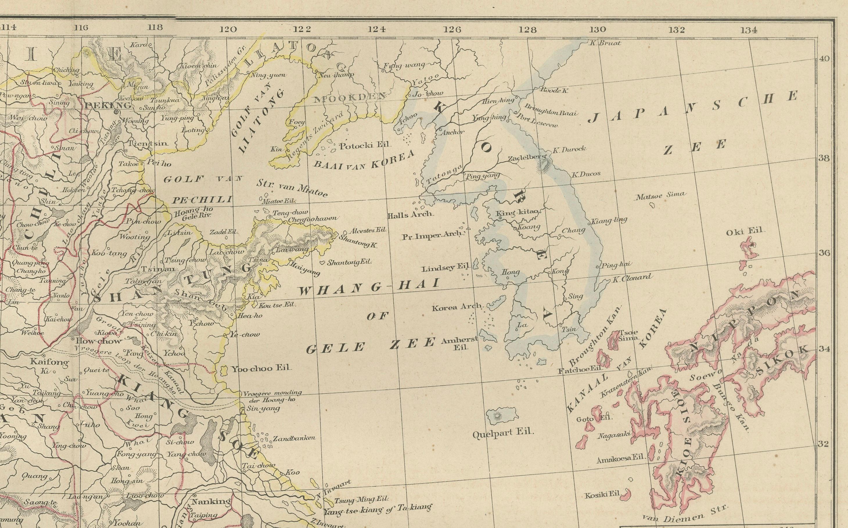
The Korean Peninsula is depicted between China and Japan, labeled “Korea” (Corea), with its principal towns and coastal features carefully engraved. This transitional positioning illustrates Korea’s 19th-century status between Qing influence and the emerging Japanese sphere.
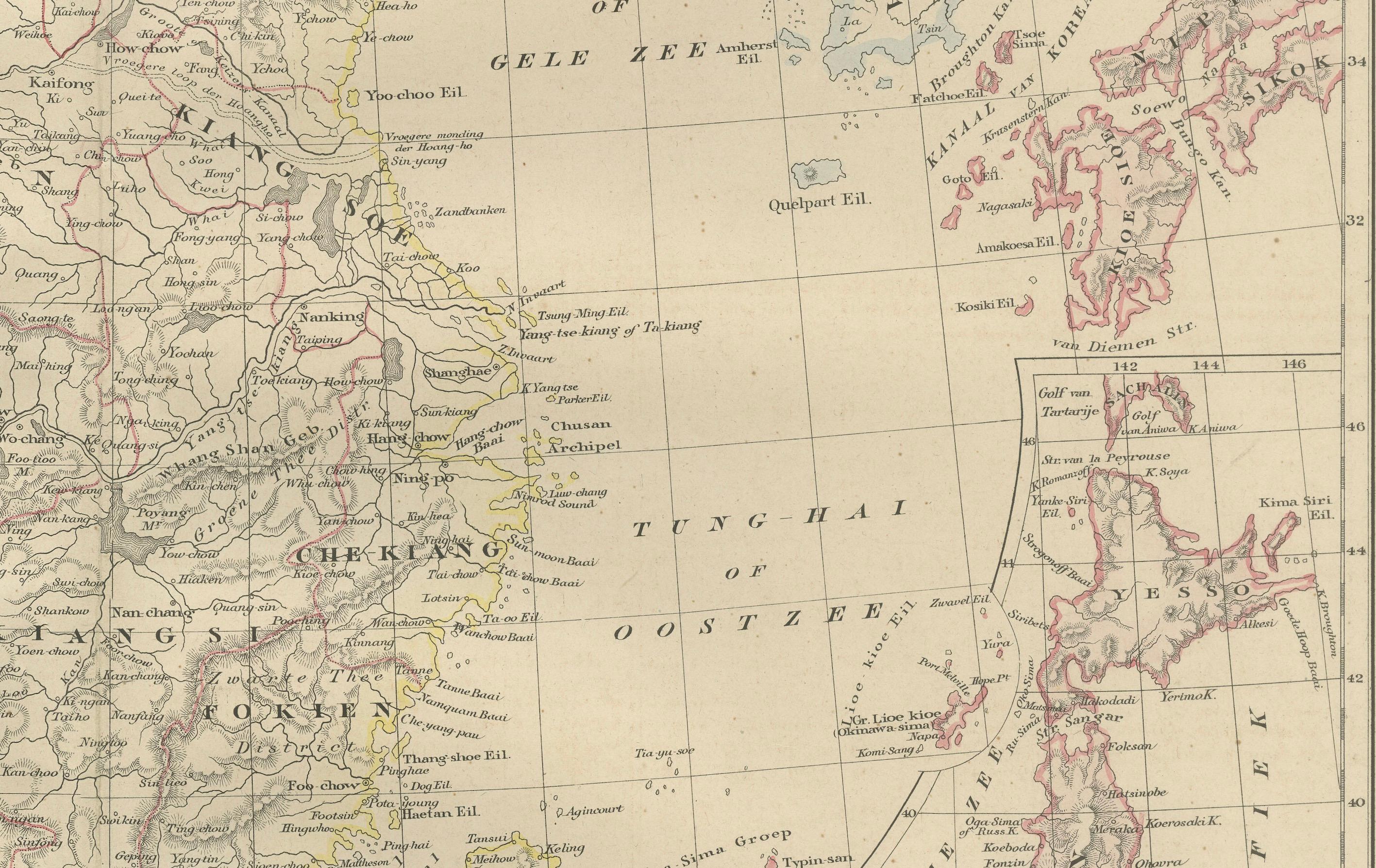
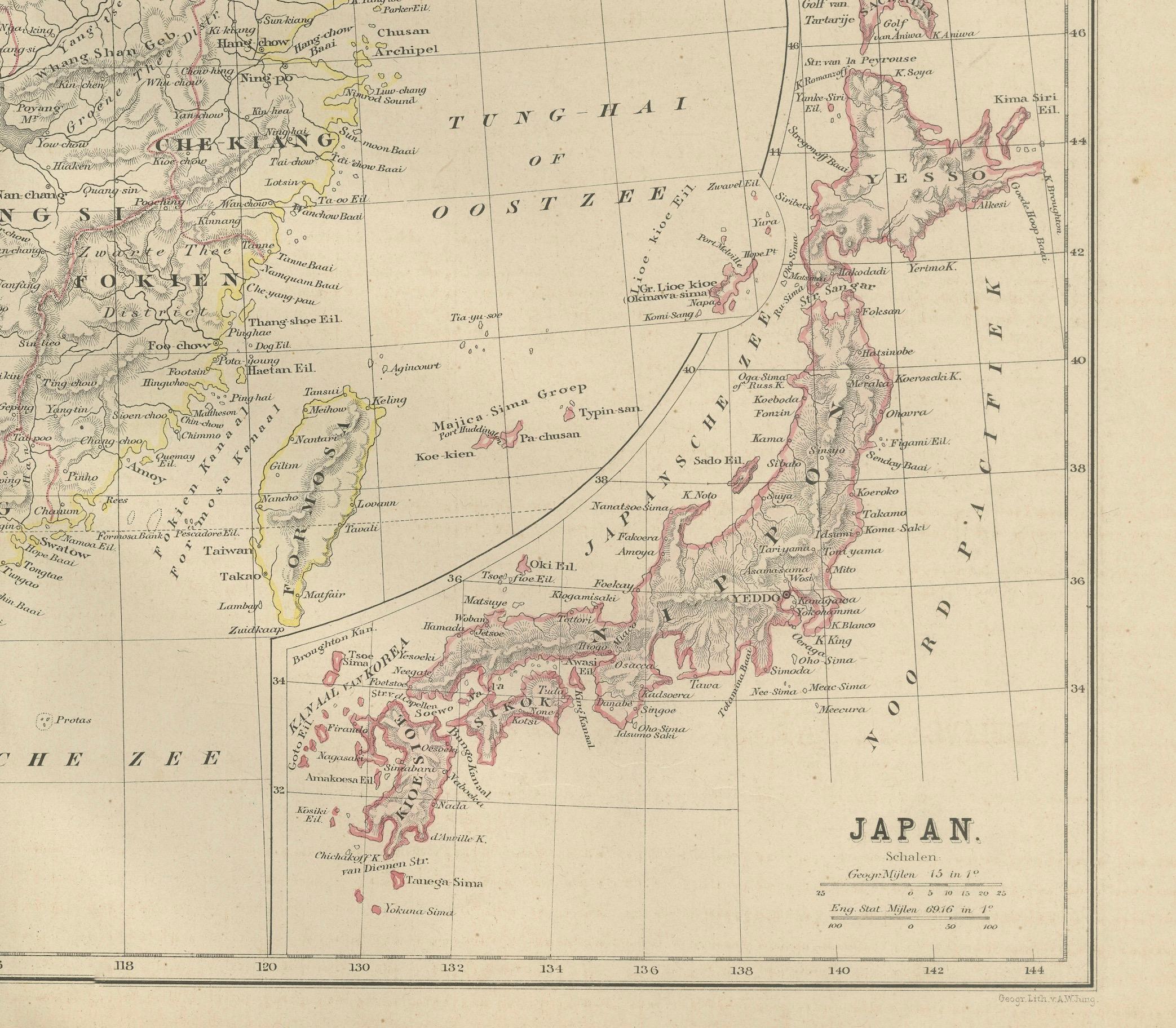
On the right side, Japan is shown in a large and beautifully detailed inset labelled “Japan,” reflecting the country's new administrative divisions following the Meiji Restoration (1868). The main islands—Hondo (Honshu), Yezo (Hokkaido), Kiushiu (Kyushu), and Sikok (Shikoku)—are delineated with clarity, along with major cities such as Yedo (Tokyo), Osaka, Kyoto, Nagasaki, Hakodate, and Kanagawa. Hand-colored borders distinguish provinces and regions as recognized during the early Meiji era.
The map’s engraving is exceptionally fine, with elegant hachuring for mountains and detailed river networks. Along the coasts, the map also shows the major harbors and treaty ports of the period, reflecting the influence of international trade after the opening of East Asia to Western powers.
This plate is an outstanding artifact for collectors interested in East Asian history, Qing Dynasty cartography, the Meiji period, and 19th-century geopolitics. Its balanced composition and precise hand-coloring demonstrate the refinement of Dutch atlas production.
Condition report: Good condition with mild toning and small scattered foxing in the margins. Original center fold as issued. The engraved detail is crisp and the hand-coloring is soft and consistent. No tears, repairs, or major defects.
Framing Tips: A warm ivory or pale cream mat complements the delicate color palette. A black, dark walnut, or simple natural wood frame creates a refined presentation suitable for libraries, study rooms, and interiors focused on Asia or 19th-century exploration. A slightly wider mat is recommended to balance the dual-section composition of China and Japan.
Keywords: China, Qing Dynasty, Chinese Empire, Peking, Beijing, Nanking, Shanghai, Canton, Guangzhou, Hankow, Chengdu, Tientsin, Tianjin, Amoy, Xiamen, Fuzhou, Hong Kong region, Formosa, Taiwan, Hainan, Mongolia, Manchuria, Gobi Desert, Yangtze River, Yellow River, Korea, Corea, Seoul region, Busan, East Asia, Japan, Meiji Japan, Yedo, Tokyo, Osaka, Kyoto, Nagasaki, Hakodate, Hokkaido, Kyushu, Shikoku, Honshu, Treaty ports, 19th century Asia, 1876 East Asia map, Nieuwe Hand-Atlas.