Black Friday starts Friday 20 November: up to 30% off, plus free FedEx shipping on qualifying orders →
Orders placed from 15 to 30 November ship from 1 December, in time for Christmas. Our shipping partner: InXpress.
Maps & PrintsBartele Gallery · Langweer
Home / Antique Maps / Europe / Western Europe / The Netherlands & Belgium

The Netherlands & Belgium · 18th century

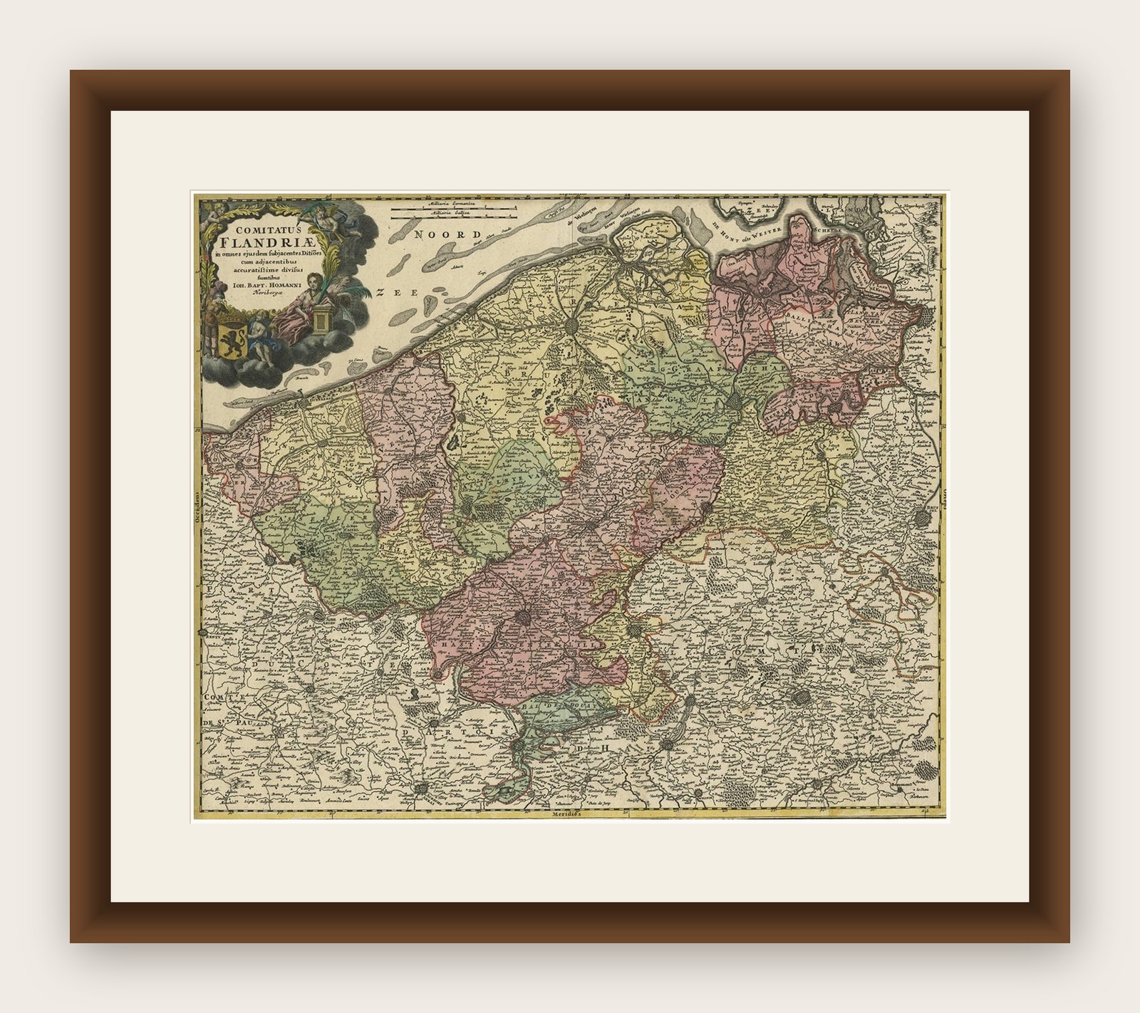
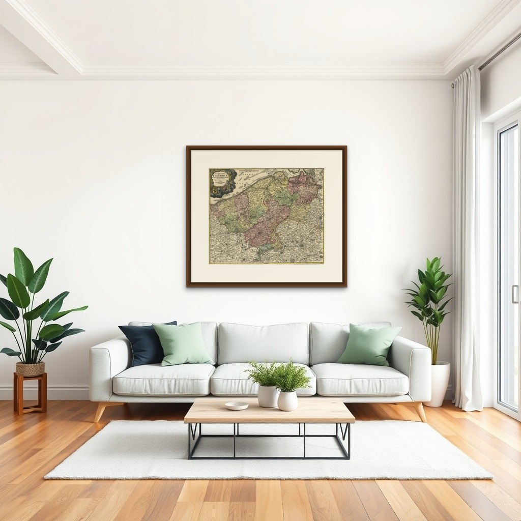
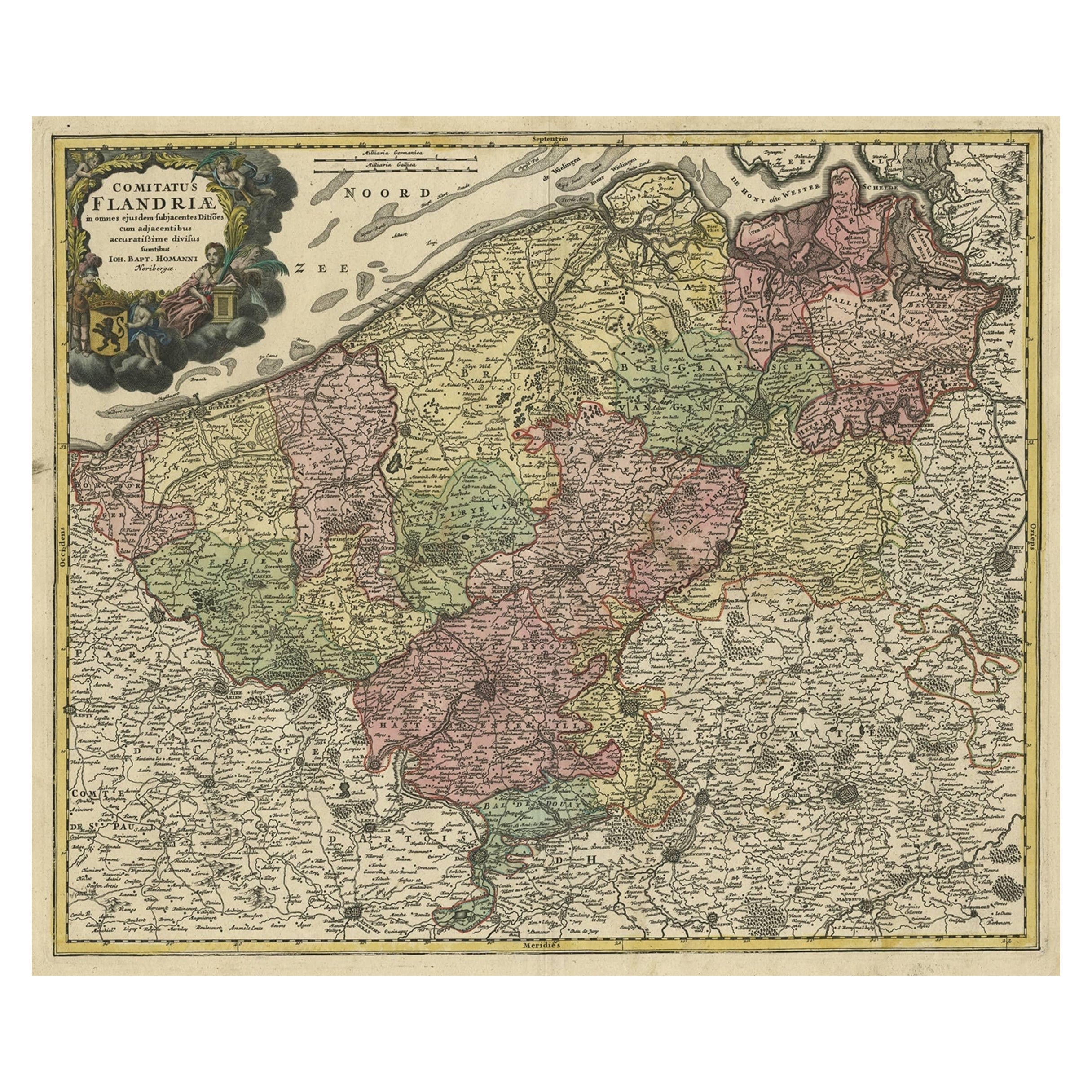
Antique Map of Flanders, Belgium by Homann Heirs, c.1735

€ 550

Original antique · The actual sheet photographed · Certificate of authenticity on request · Sold unframed · Worldwide shipping from € 15 (rates)

Date
1735
Sheet size
53.5 × 64 cm (21.1 × 25.2 in)
Condition
Good
Reference
PCT-59837
What the condition grades mean
Excellent
Bright and clean, with no faults worth mentioning.
Very good
Only light signs of age, such as faint toning.
Good
Normal signs of age for a sheet of this period: toning, some foxing, small marks or neat old repairs.
Fair
Clear faults such as staining, tears or repairs, priced to match.

Every fault we see is written in the condition note, and the whole sheet is shown uncropped in the photos.

About this sheet

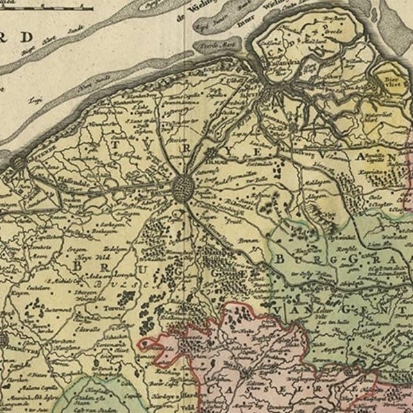
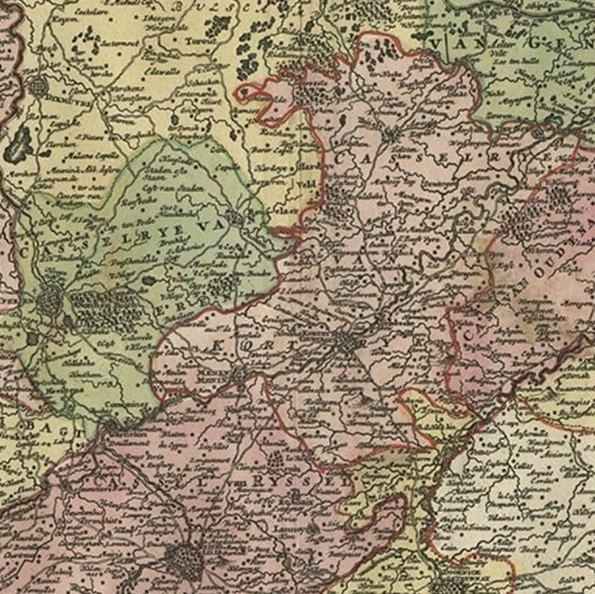
Antique map titled 'Comitatus Flandriae in omnes ejusdem subjecentes Ditioes (..).' Original antique map of Flanders, Belgium. This map details the coastline from Grevelingen to Zeeland at de Hont oste Westerschelde, south to below Douay, and east to Brussels. Beautifully engraved and highly detailed, the map shows forests, roads and canals, hundreds of tiny villages and several fortified towns including Brussels and Antwerp. The very decorative cartouche displays putti, a soldier, coat of arms and more.

Artists and Engravers: Following the long period of Dutch domination, the Homann family became the most important map publishers in Germany in the eighteenth century, the business being founded by J.B. Homann in Nuremberg about the year 1702. Soon after publishing his first atlas in 1707 he became a member of the Berlin academy of Sciences and in 1715 he was appointed Geographer to the Emperor. After the founder's death in 1724, the firm was continued under the direction of his son until 1730 and was then bequeathed to his heirs on the condition that it trades under the name of Homann Heirs. The firm remained in being until the next century and had a wide influence on map publishing in Germany. Apart from the atlases the firm published a very large number of individual maps. The Homanns produced a Neuer Atlas in 1714, a Grosser Atlas in 1737, and an Atlas Maior with about 300 maps in 1780. They also issued a special Atlas of Germany with full sized plans of principal cities, school atlases and an Atlas of Silesia in 1750 with 20 maps.

Image size: 57 x 47.7 cm.
More from The Netherlands & Belgium

Ask about this sheet

Antique Map of Flanders, Belgium by Homann Heirs, c.1735
1735 · Ref. PCT-59837 · € 550
We reply by email, usually within one working day.

Your favorites

Saved in this browser. Email the list to yourself to keep it on any device.

We use your email to send this list and, only if you tick the box and confirm, for occasional new arrivals. Every email has an unsubscribe link. Bartele Gallery, the Netherlands.

Powered by SiteKeys