About this sheet
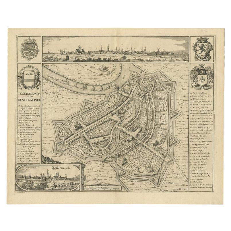
Antique map titled 'Teneramonda vulgo Dendermonde'. Beautiful map with views of Dendermonde, Belgium. This map originates from 'Flandria illustrata, sive provinciae ac comitatus hujus descriptio'.
Artists and Engravers: Engraved by R. Blokhuyse. The author was Antonius Sanderus, who studied theology for some years under Malderus at Louvain, and Estius at Douai, and was ordained priest at Ghent.
Condition: Very good, please study image carefully.
Date: 1735
Overall size: 56 x 46 cm.
Image size: 51 x 41 cm.
We also offer thousands of antique prints covering fields of interest as diverse as architecture, natural history, religion, ethnology and many more.They were the product of engraved, etched or lithographed plates. These plates were handmade out of wood or metal, which required an incredible level of skill, patience and craftsmanship. Whether you have a house with Victorian furniture or more contemporary decor an old engraving can enhance your living space.