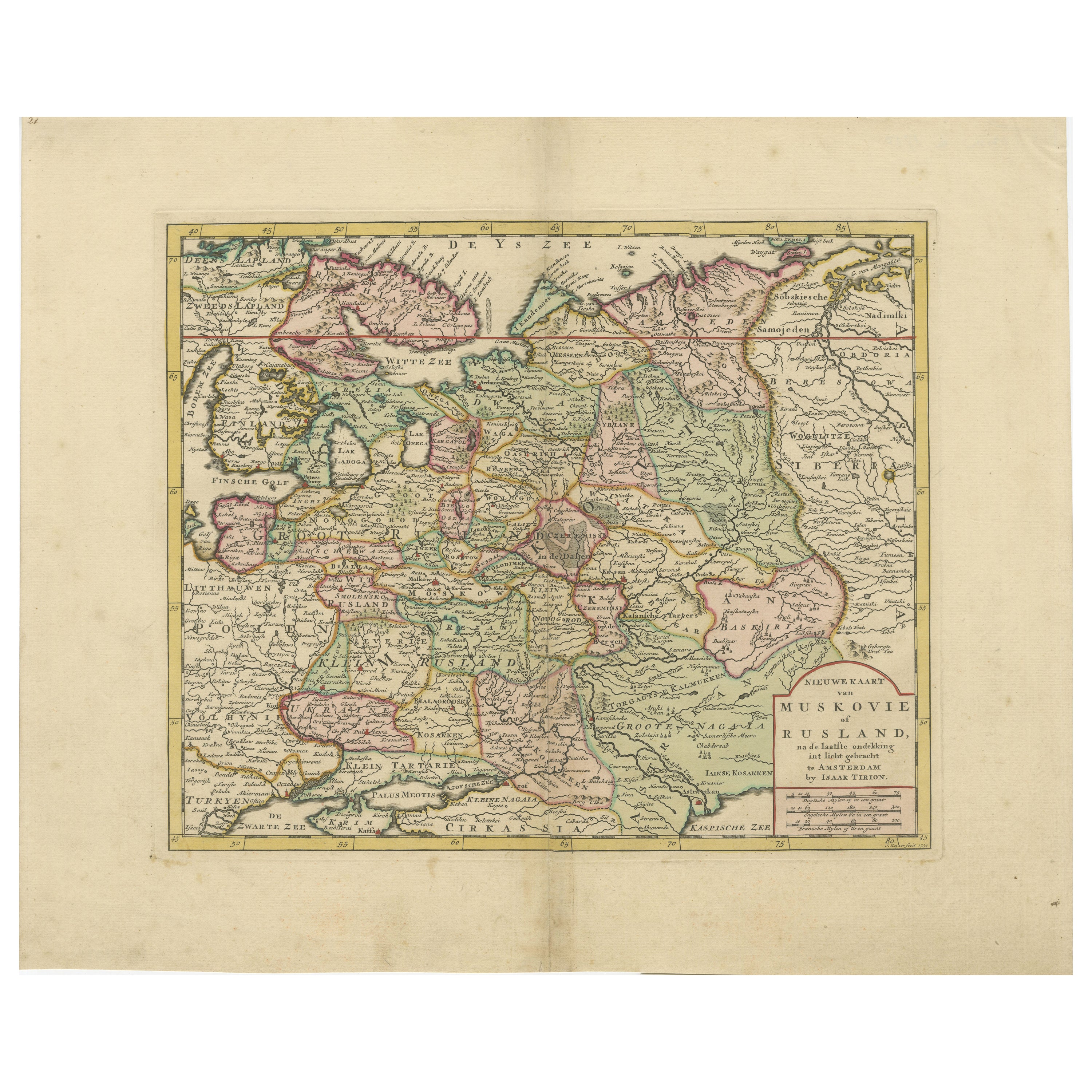
Original Antique Map of Muscovy or Russia by Isaak Tirion, Amsterdam circa 1740
€ 790
One of a kind: this is the sheet in the photographs. Ships from Langweer, the Netherlands.
Date
1740
Sheet size
38.7 × 48 cm (15.2 × 18.9 in)
Condition
Good
Reference
BG-14031-3
Condition
Good condition overall, with original hand coloring and wide margins. Some mild toning and a faint central fold line, as issued. Minimal edge wear and light creasing in the margins, but the printed area remains clean and crisp.
About this sheet
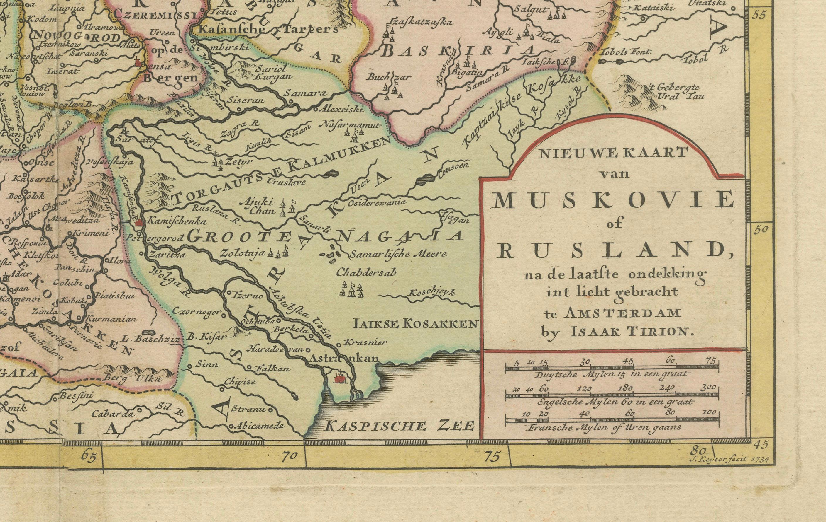
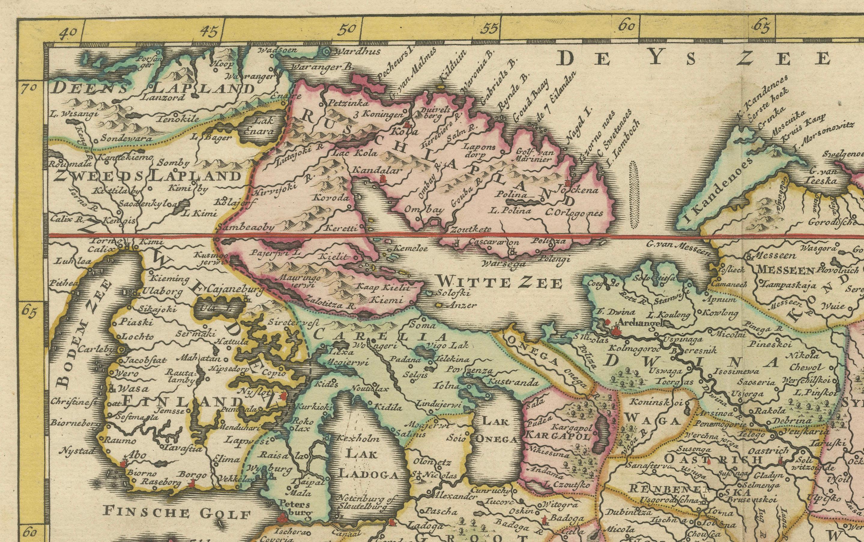
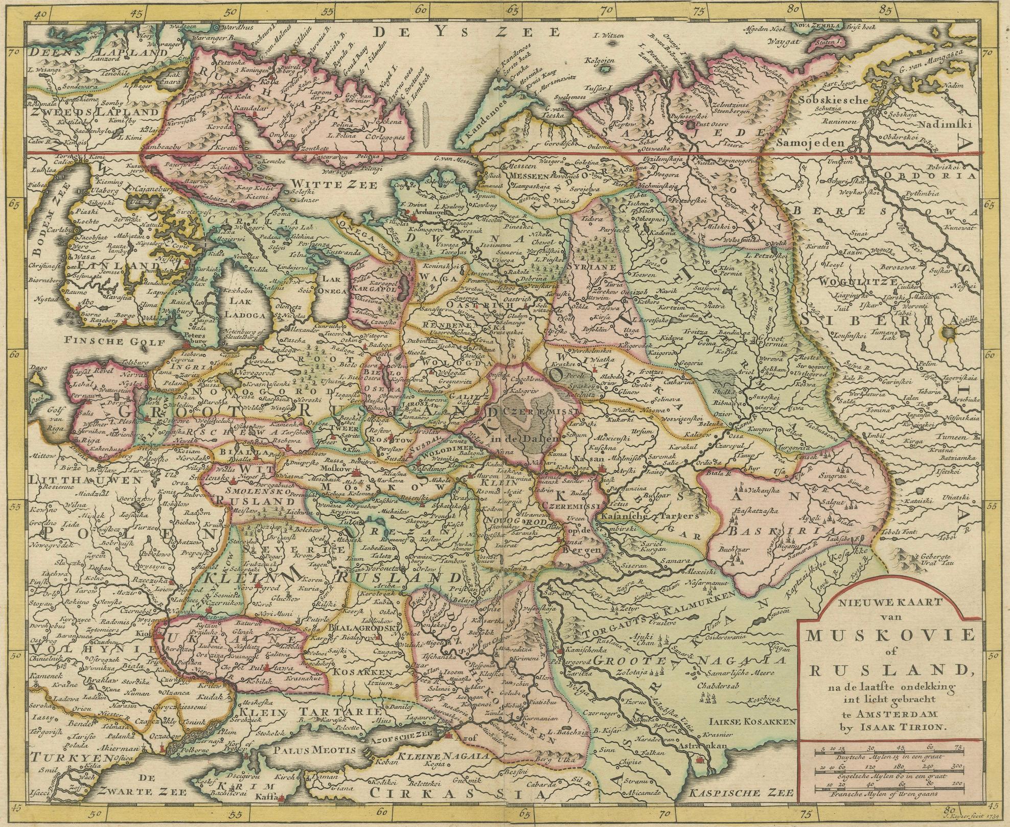
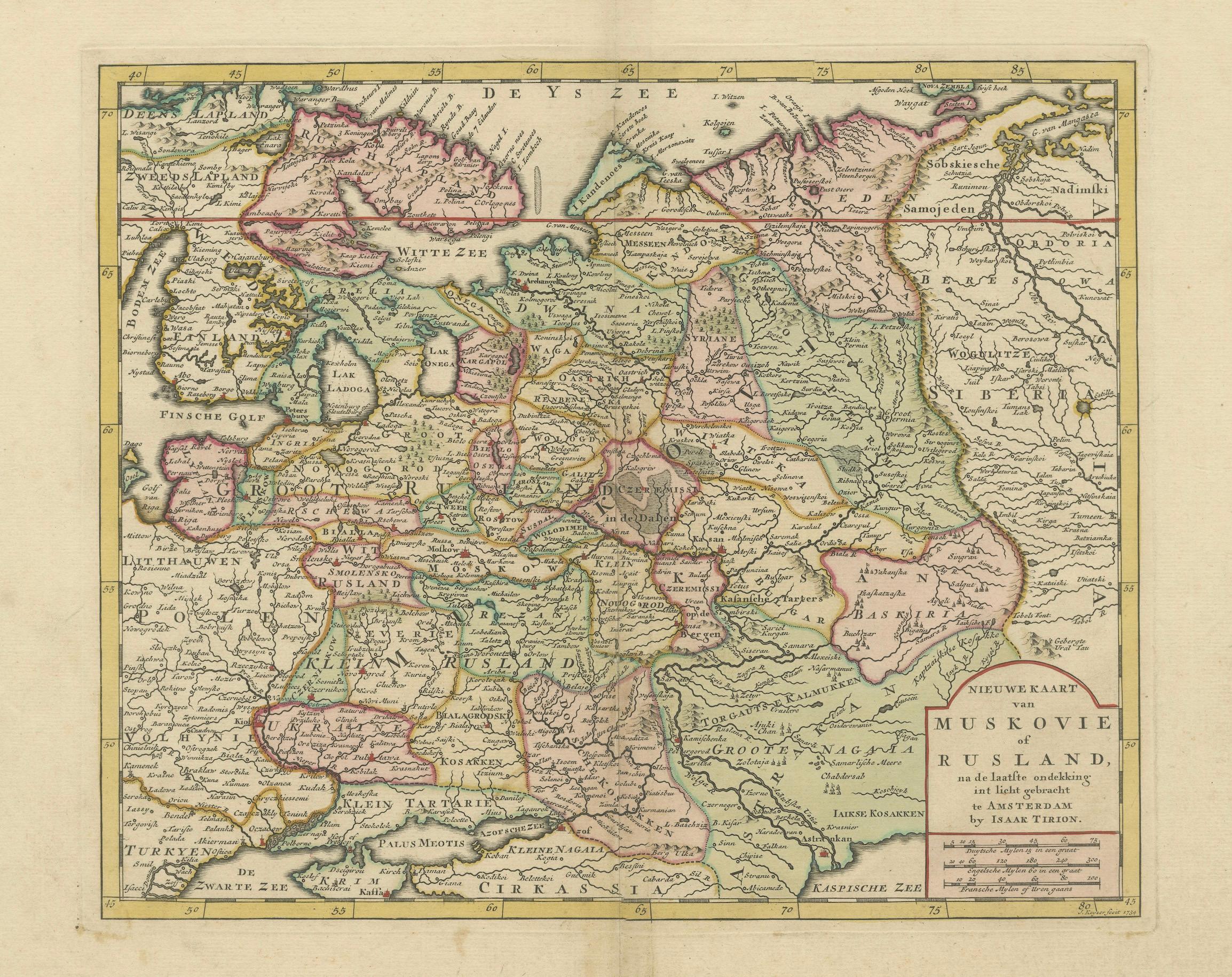
Map of Muscovy or Russia by Isaak Tirion, Amsterdam circa 1740 This beautifully engraved and delicately hand-colored map titled "Nieuwe Kaart van Muskovië of Rusland" was published in Amsterdam by Isaak Tirion around 1740. It presents a remarkably detailed depiction of the vast territories of the Russian Empire in the early 18th century, during a period of dynamic geopolitical change and territorial expansion under the Romanov dynasty.
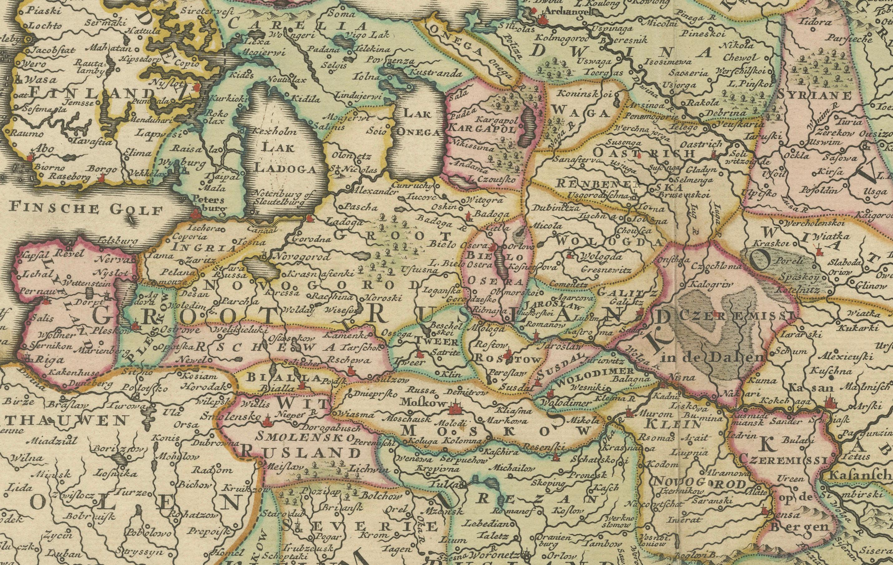
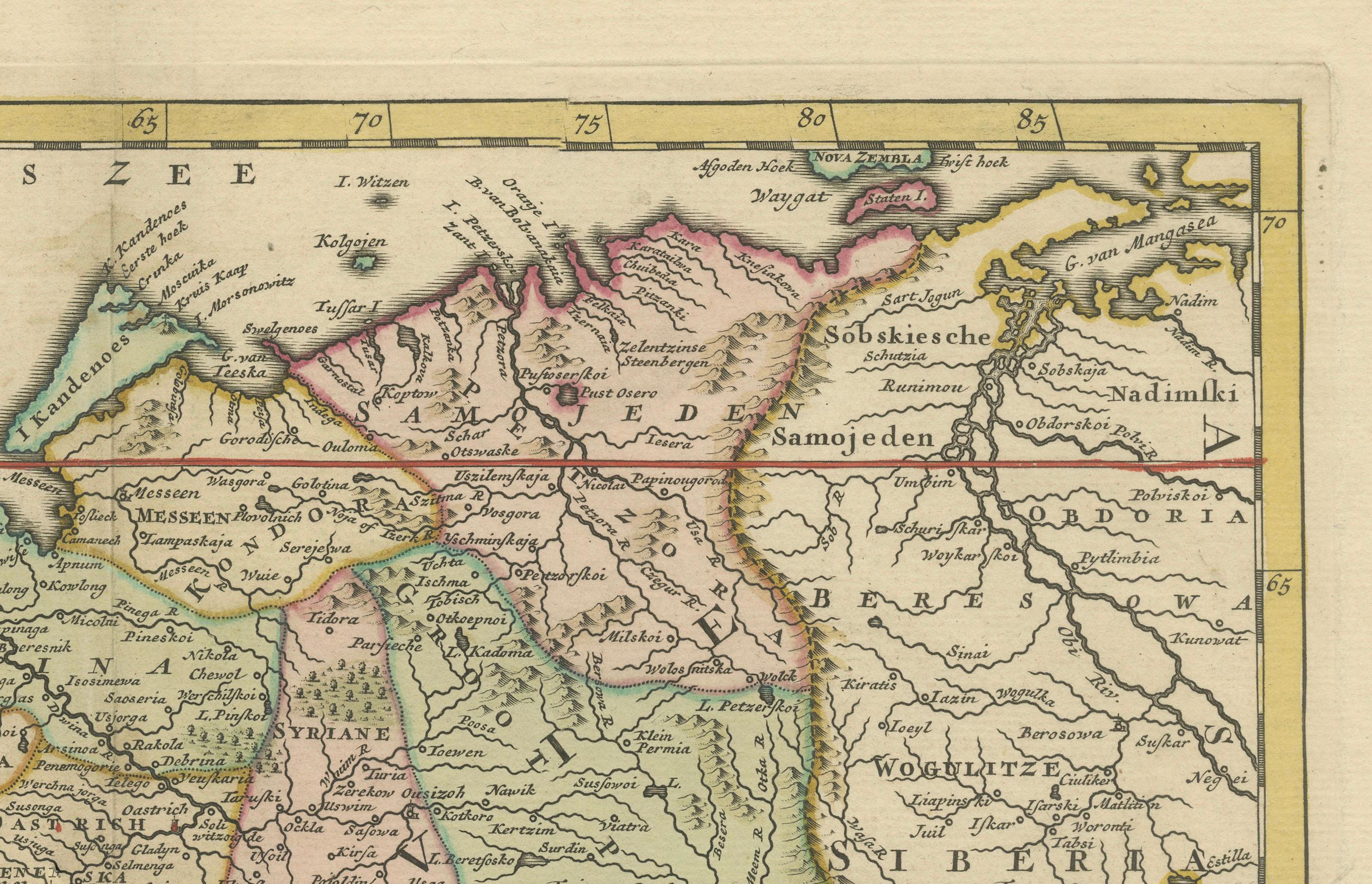
The map spans from the borders of Poland and the Baltic states in the west to the steppes and semi-mythical territories of Tartary and Siberia in the east. Major cities such as Moscow and Novgorod are clearly marked, along with numerous rivers, mountain ranges, lakes, and political subdivisions. The map offers both geographic precision and a romanticized vision of the Russian realm as perceived by Western European cartographers of the Enlightenment.
Tirion, one of the foremost Dutch publishers of the 18th century, is known for his careful engraving and well-proportioned compositions. The map is framed by a fine border, and a clean title cartouche in the lower right corner contains the Dutch-language title and publishing credit. The hand-applied color accents help differentiate the provinces and give visual depth to the mountainous and forested areas.
This map is not only an aesthetically pleasing decorative piece but also a valuable historical artifact. It provides insights into how Russia was viewed and mapped by contemporary European geographers at a time when its imperial ambitions were reshaping Eurasia.
Condition summary: Good condition overall, with original hand coloring and wide margins. Some mild toning and a faint central fold line, as issued. Minimal edge wear and light creasing in the margins, but the printed area remains clean and crisp.
Framing suggestion: A dark wood or mahogany frame with a soft ivory mat would enhance the warm tones of the paper and highlight the map’s fine detailing. For a classic look, consider adding a thin gold filet. This map would suit a library, study, or any space with an interest in early European history or exploration.