Hand-Colored Map of Delfland by Hendrik de Leth, 1740 – Delft & The Hague
€ 250
One of a kind: this is the sheet in the photographs. Ships from Langweer, the Netherlands.
Date
1740
Sheet size
18 × 22.5 cm (7.1 × 8.9 in)
Condition
Good
Reference
BG-02839
Condition
Good condition. Strong impression on laid paper with period hand-coloring. Vertical and horizontal folds as issued. Blank verso. Vibrant colors, minimal age spotting.
About this sheet
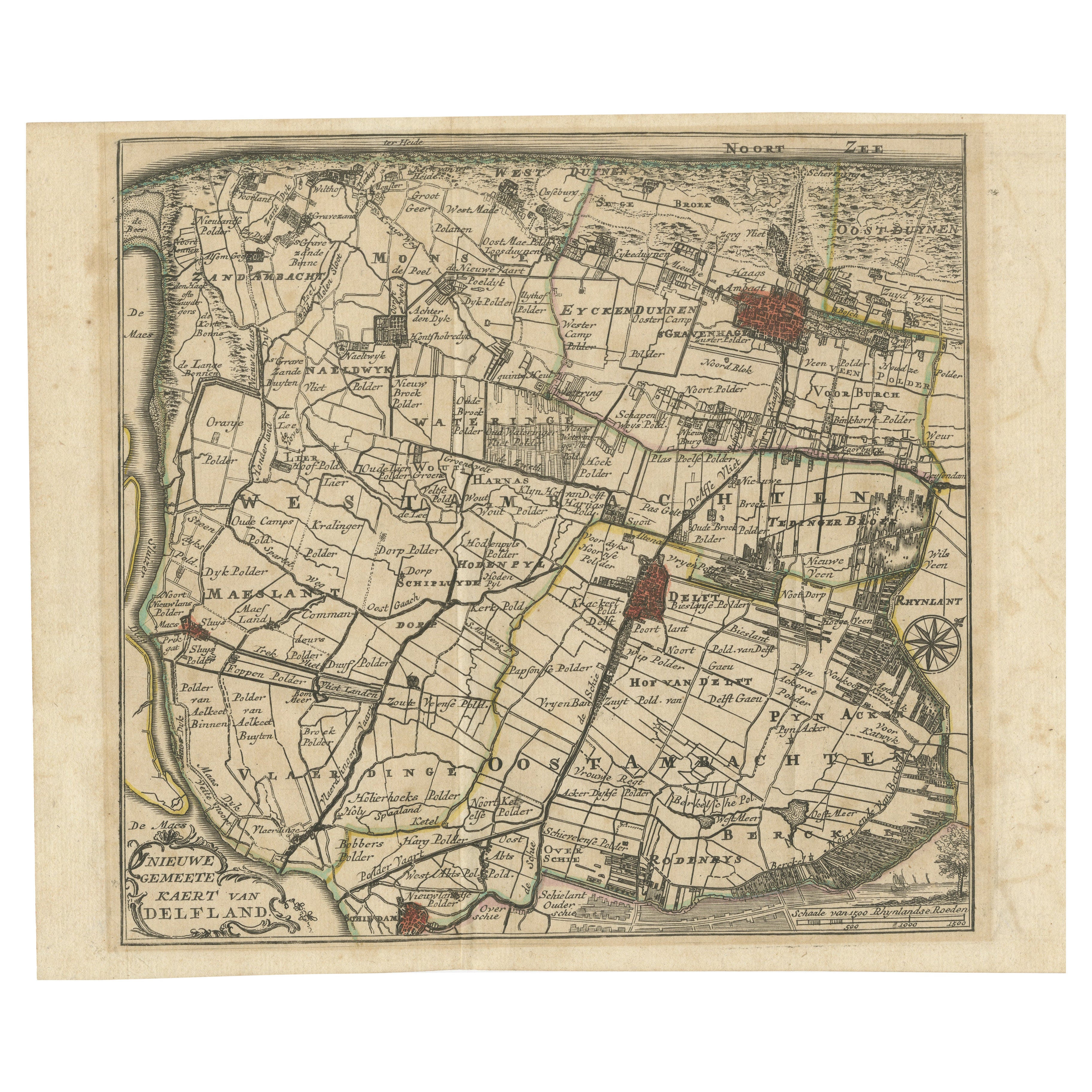
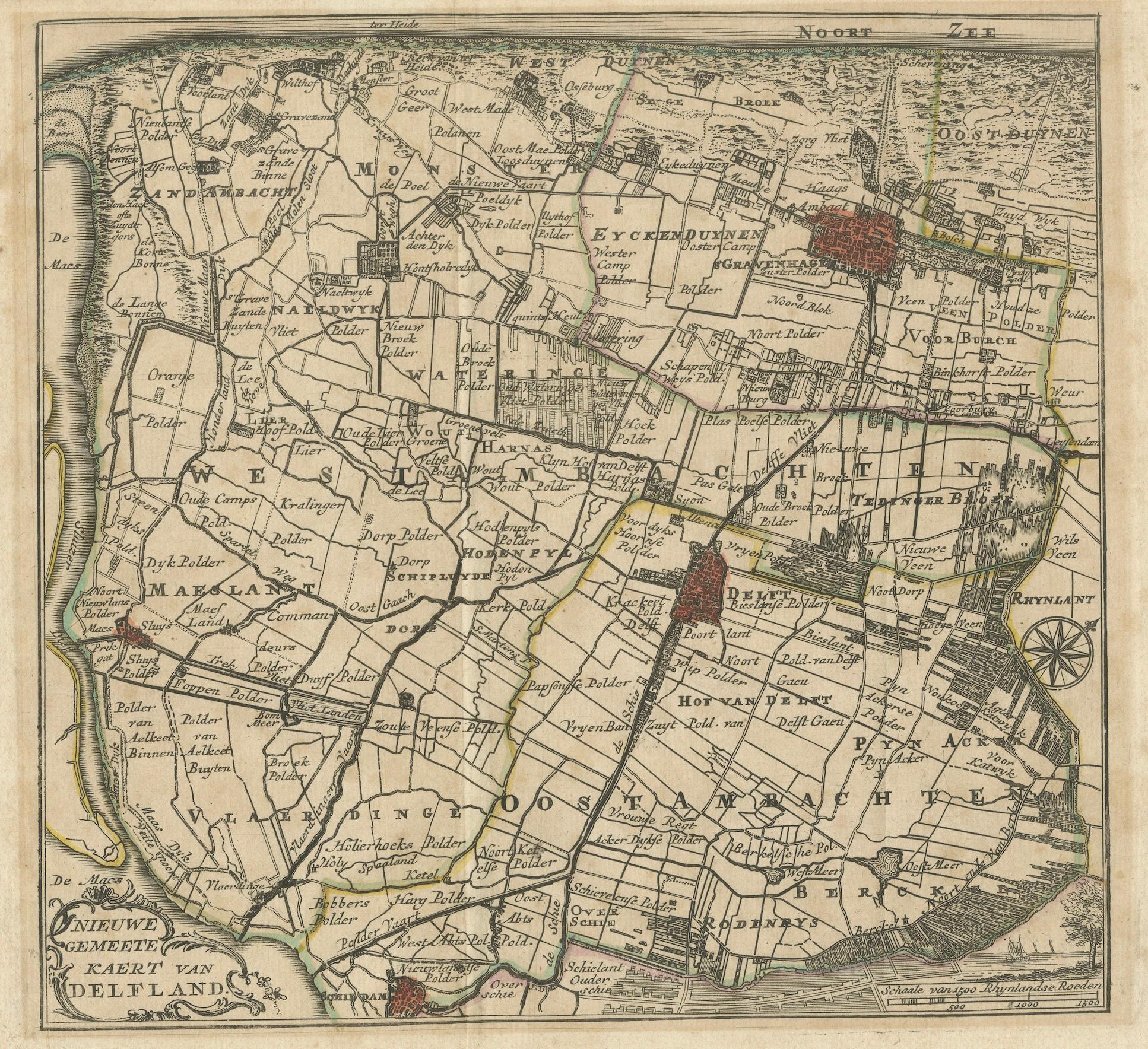
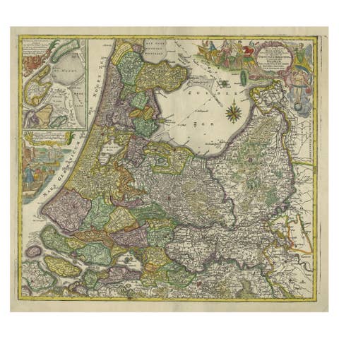
Hand-Colored Map of Delfland by Hendrik de Leth, 1740 – Delft & The Hague
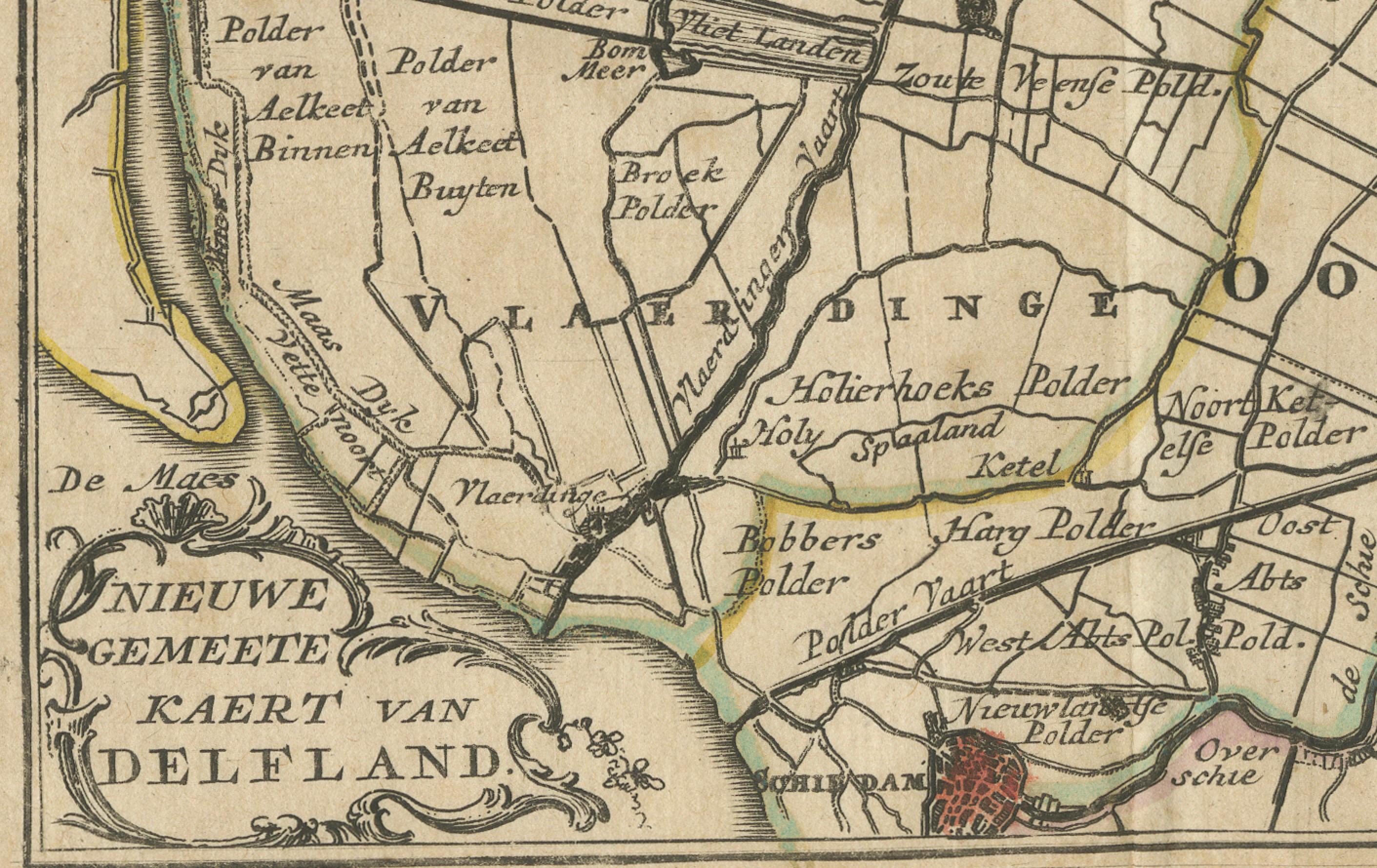
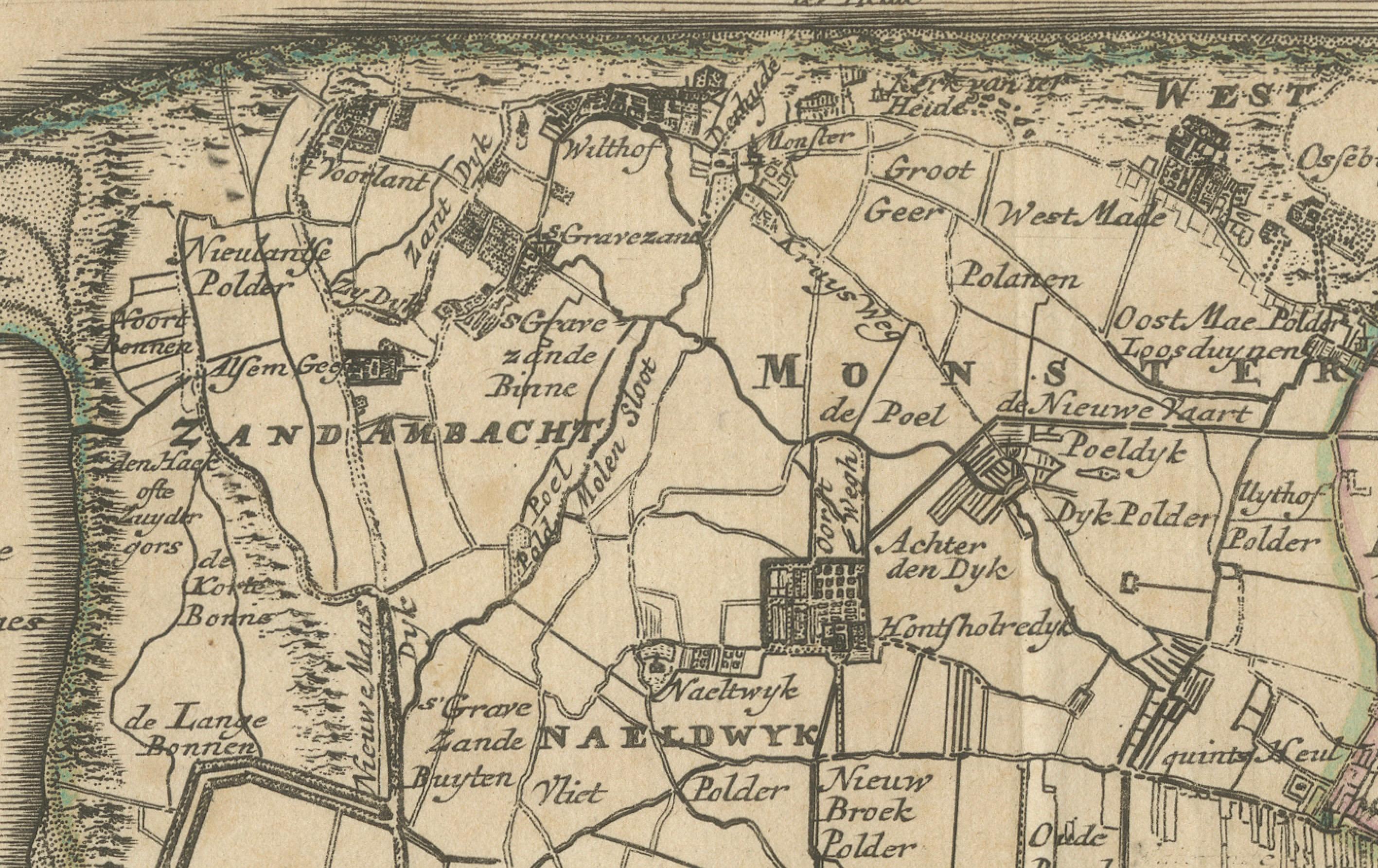
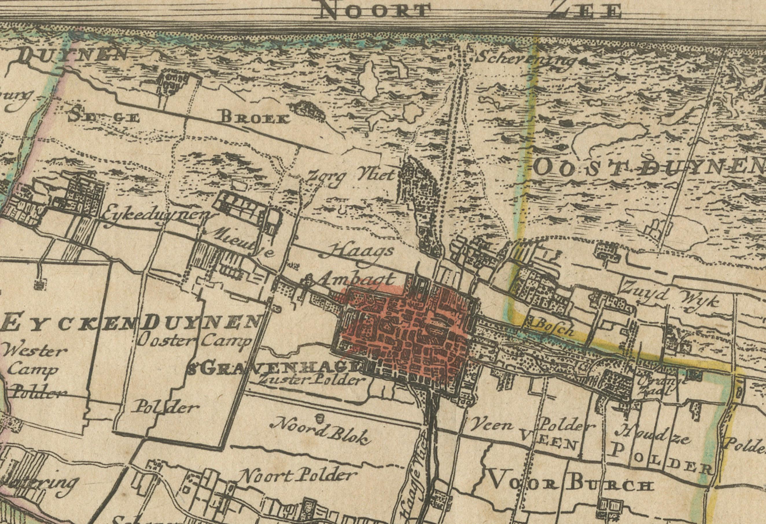
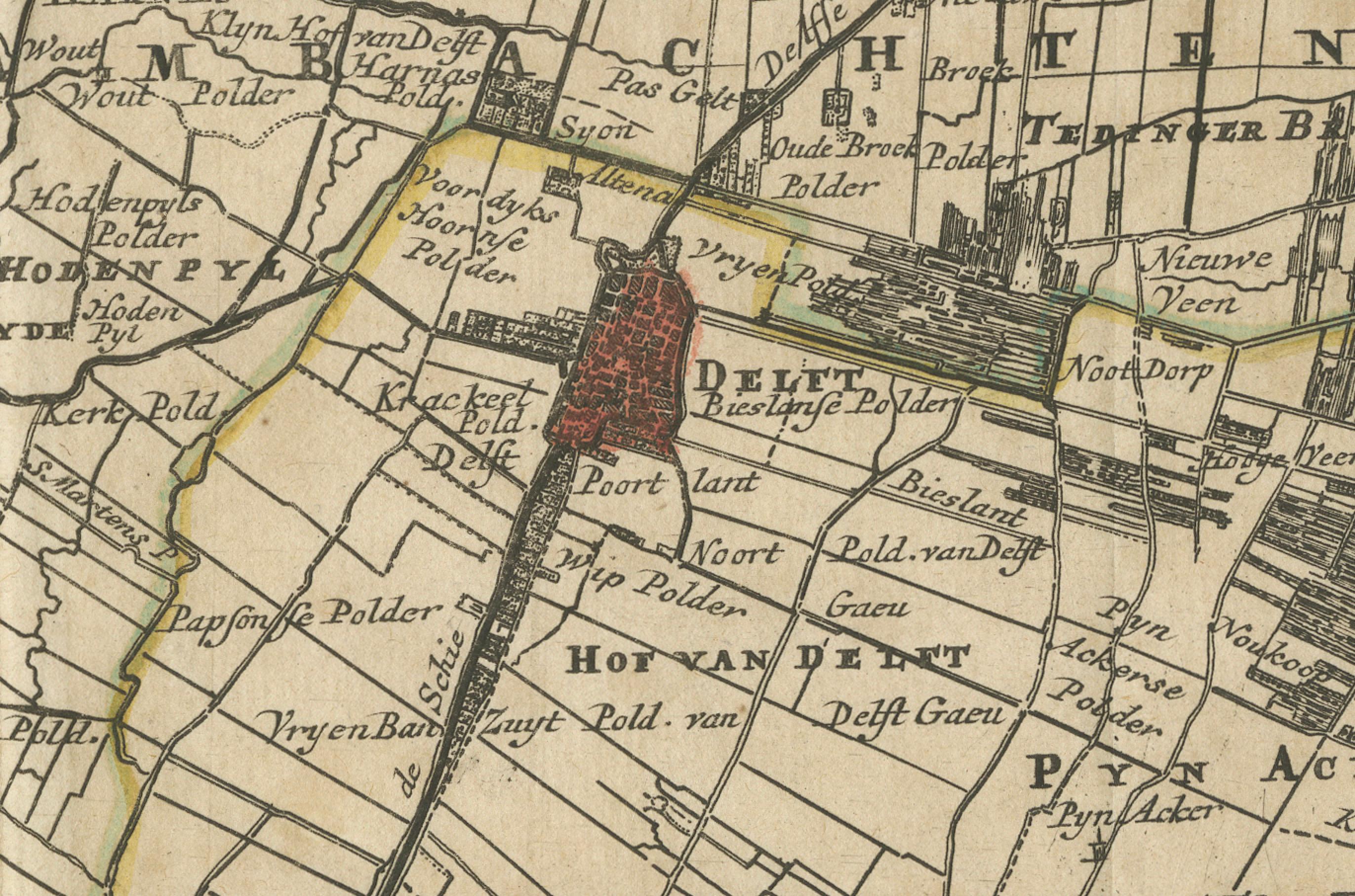
This beautifully preserved antique map titled "Nieuwe Gemeete Kaert van Delfland" was engraved by Hendrik de Leth and published in Amsterdam circa 1740 as part of his *Nieuwe Geographische en Historische Atlas van de Zeven Vereenigde Nederlandsche Provintien*. It offers a richly detailed and historically valuable view of the region known as Delfland, including key cities such as Delft, The Hague ('s Gravenhage), Maassluis, Rijswijk, and Schipluiden.
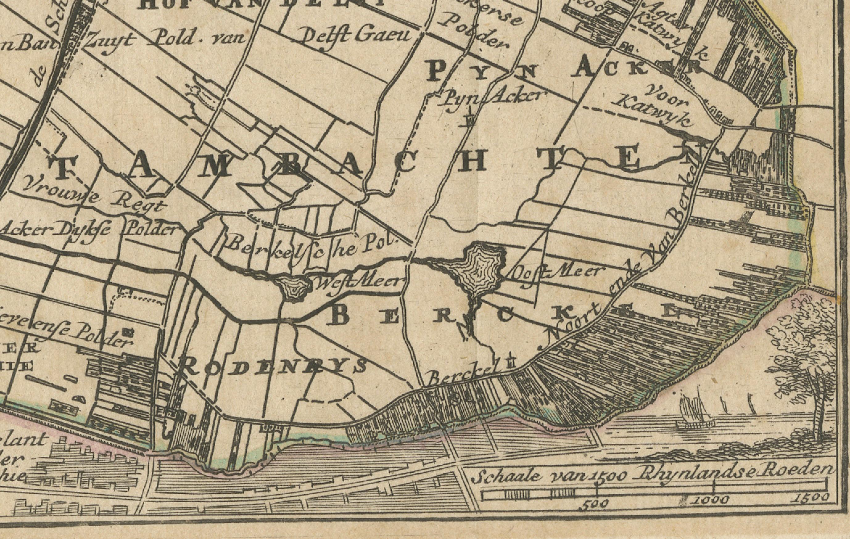
Drawn and engraved with precision, the map showcases the intricate polder landscape of the western Netherlands, highlighting reclaimed land, dikes, waterways, and windmills. Prominent towns are rendered in red with finely etched city plans and prominent churches, while rural areas are divided into meticulously labeled polders, marked with their respective names. The North Sea lies along the upper edge, and a decorative compass rose sits near the lower right, guiding orientation.
This map is particularly fascinating for its depiction of 18th-century hydraulic engineering and land use in the Dutch Republic. Each polder was a carefully managed parcel of land, often with its own drainage system and governance. The map reflects the Dutch mastery of water management and their cultural emphasis on cooperative land stewardship.
Hendrik de Leth was a prominent Amsterdam publisher and engraver known for his decorative atlases and historical prints. His work is notable for its clarity, ornamentation, and informative quality. The original copper engraving has been delicately hand-colored, likely near the time of publication, enhancing rivers, borders, and built structures while preserving the period aesthetic.
Condition report: Good condition. Strong impression on laid paper with period hand-coloring. Vertical and horizontal folds as issued. Blank verso. Vibrant colors, minimal age spotting.
Framing suggestion: Frame in a natural or black-stained wooden frame with a museum-grade off-white mat. Float mounting is ideal to show the full plate including the cartouche and compass rose. UV-protective glass is recommended for preservation.