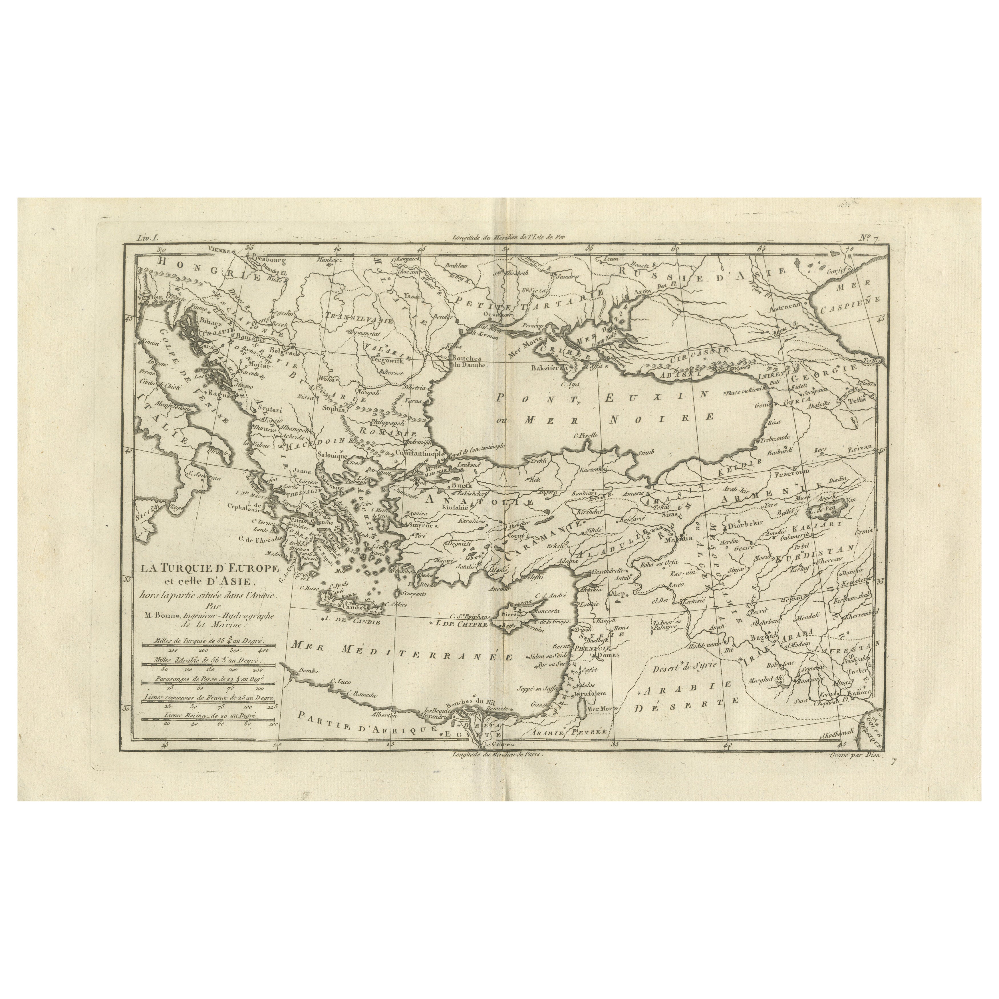
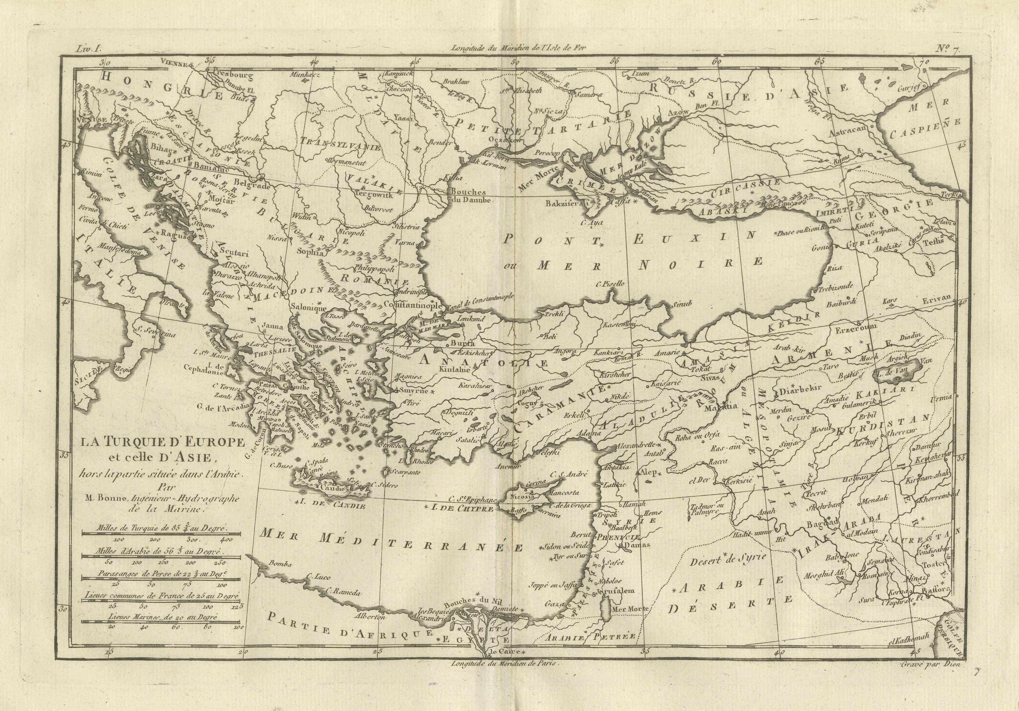
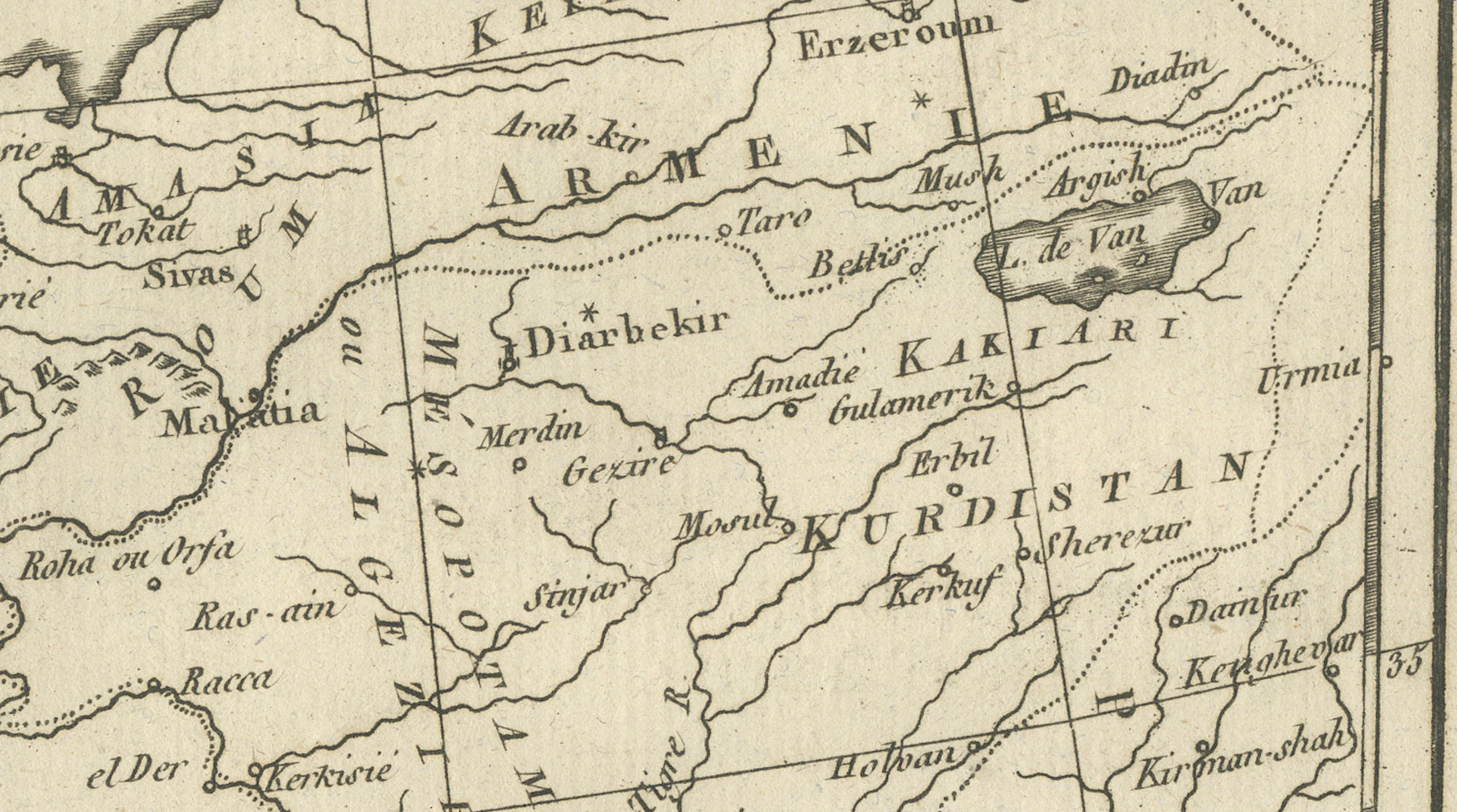
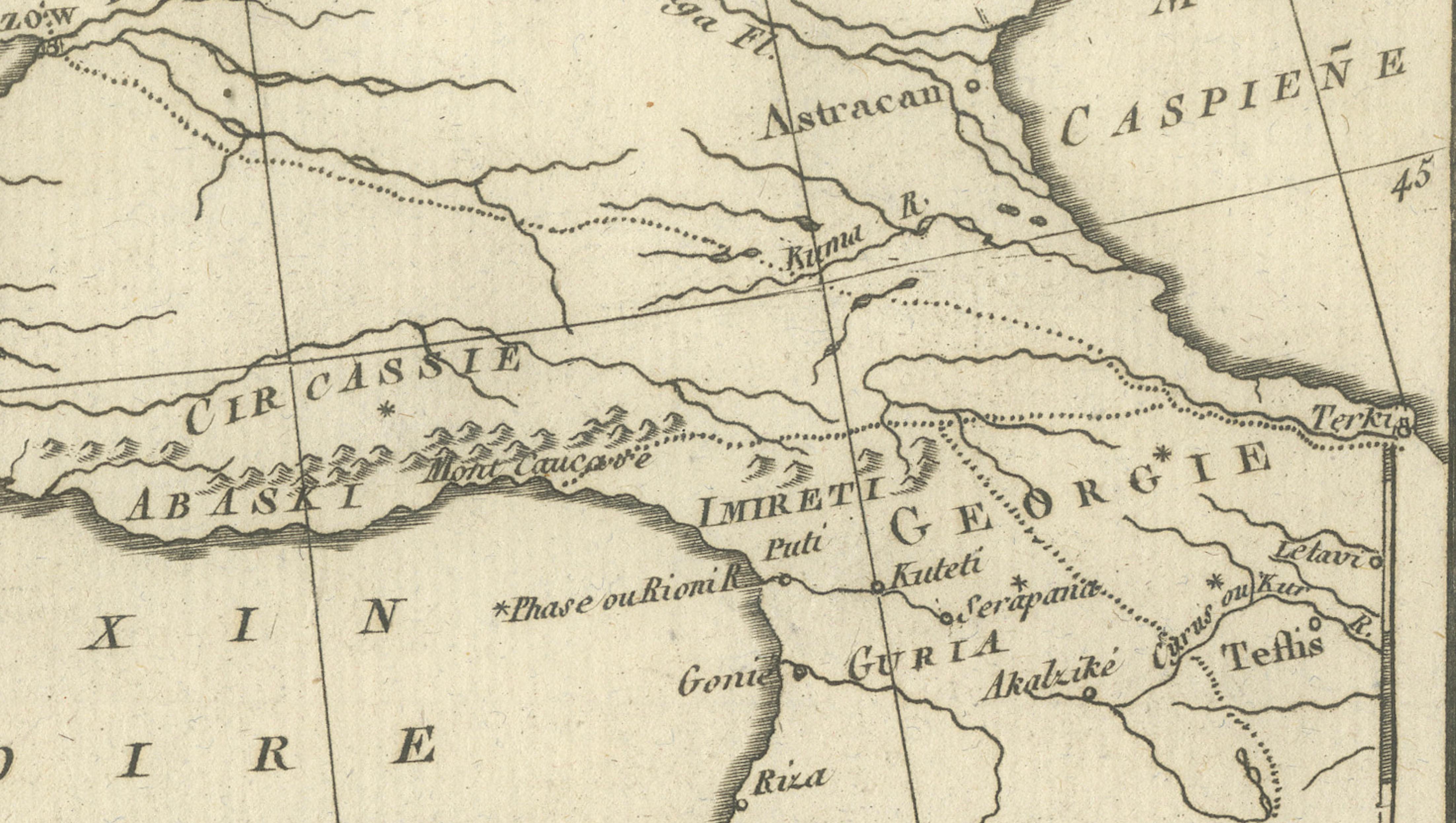
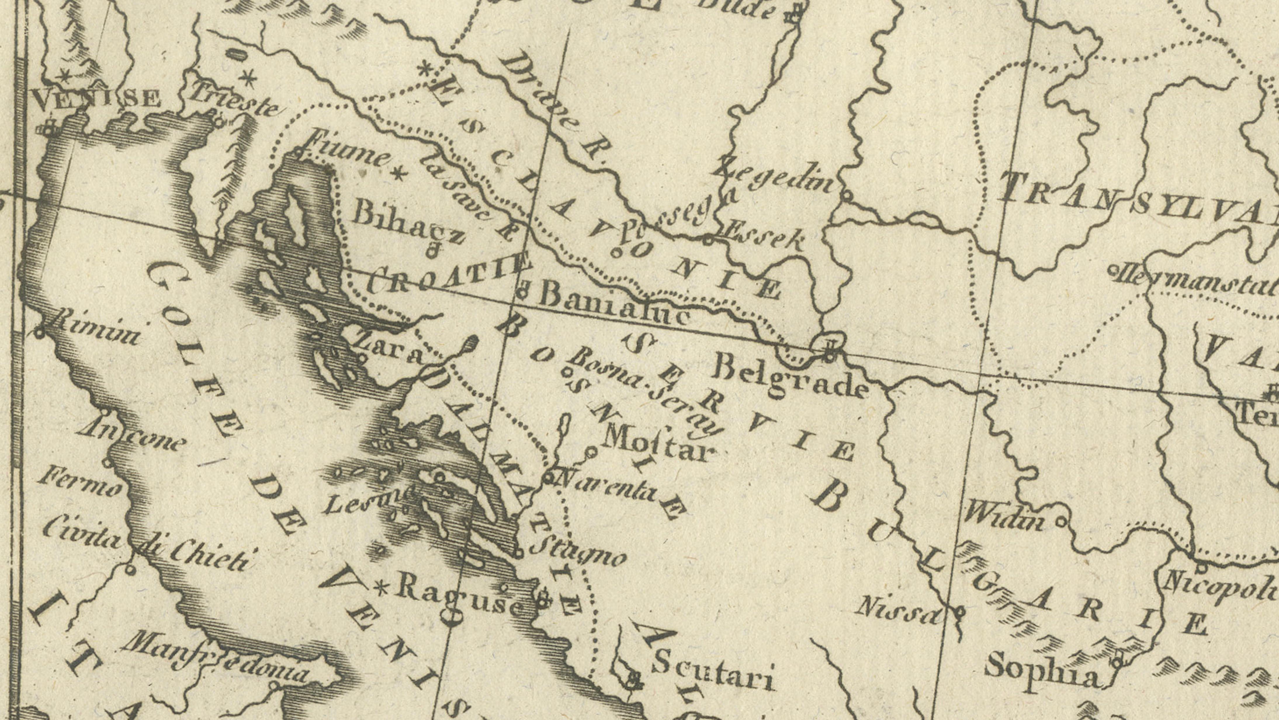
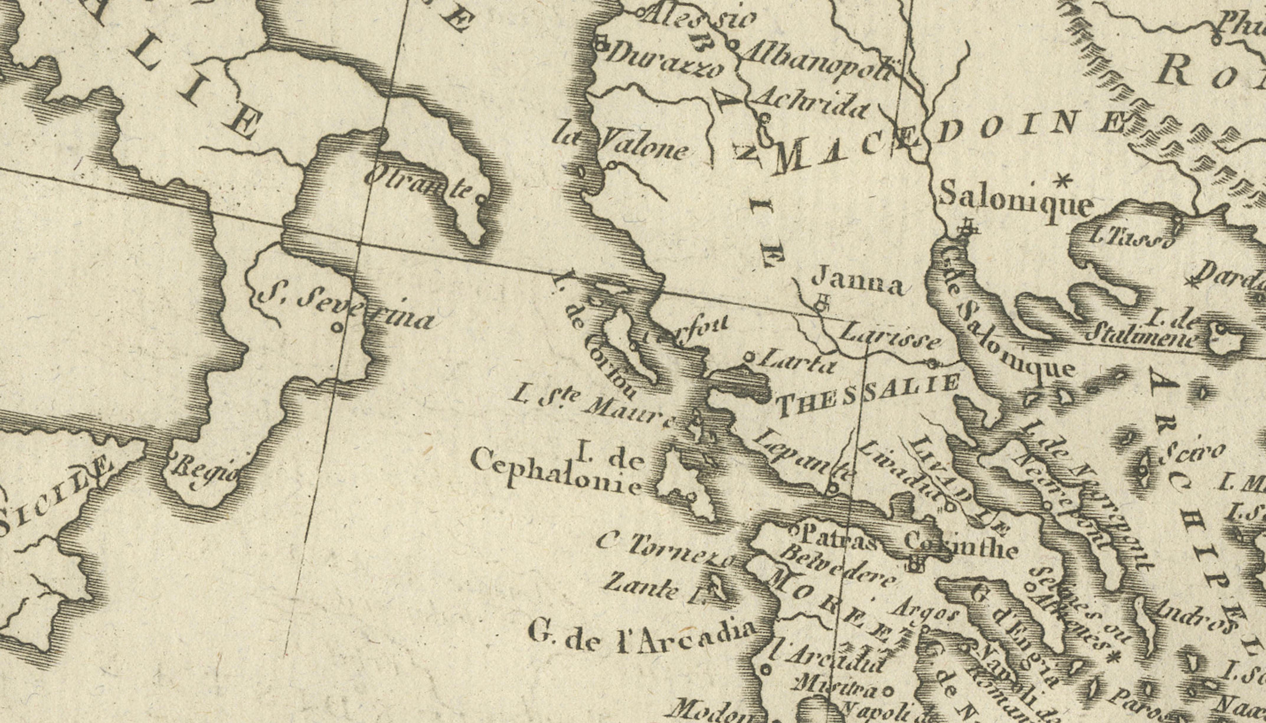
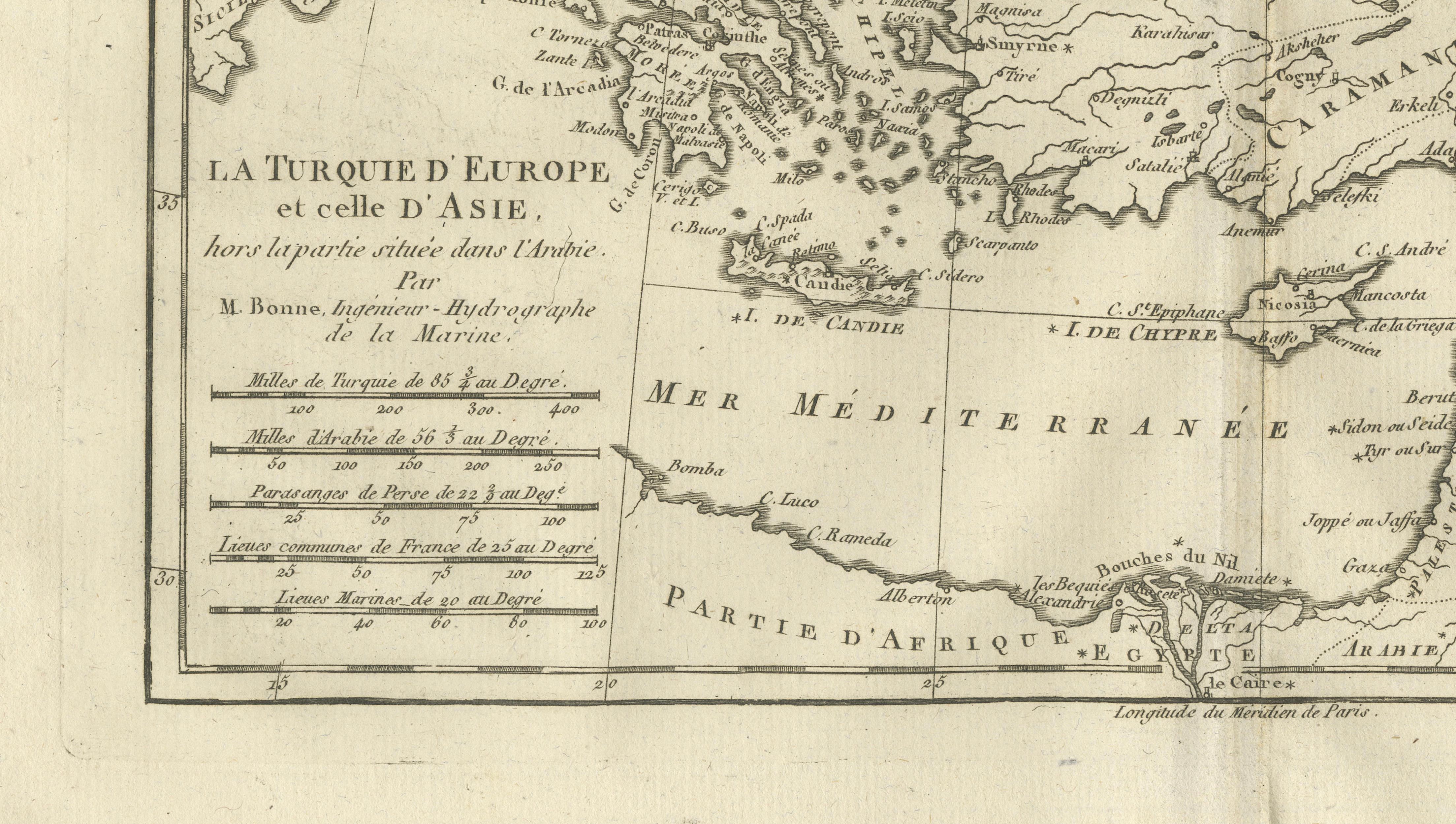
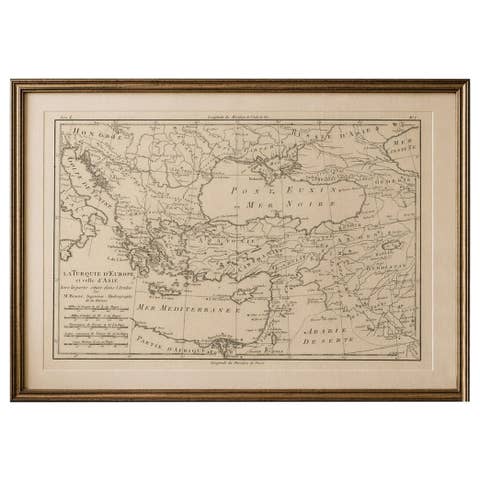
Turkey in Europe & Asia – Ottoman Lands by Bonne c.1780
€ 350
One of a kind: this is the sheet in the photographs. Ships from Langweer, the Netherlands.
Date
1780
Sheet size
26 × 41 cm (10.2 × 16.1 in)
Condition
Good
Reference
BG-14105-7
Condition
Light age toning. Central fold. Minor marginal wear and faint staining.
About this sheet
Turkey in Europe & Asia – Ottoman Lands by Bonne c.1780
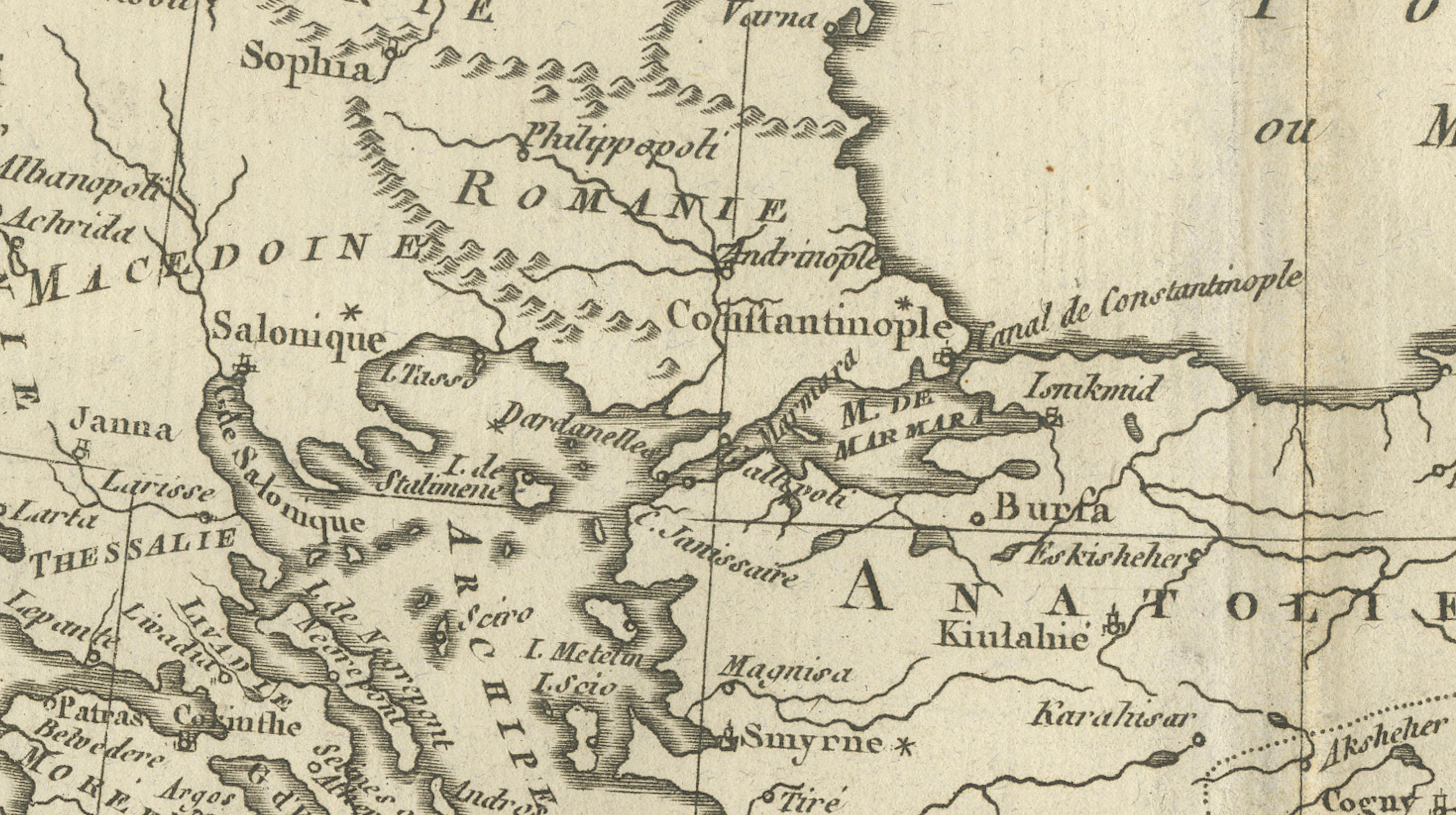
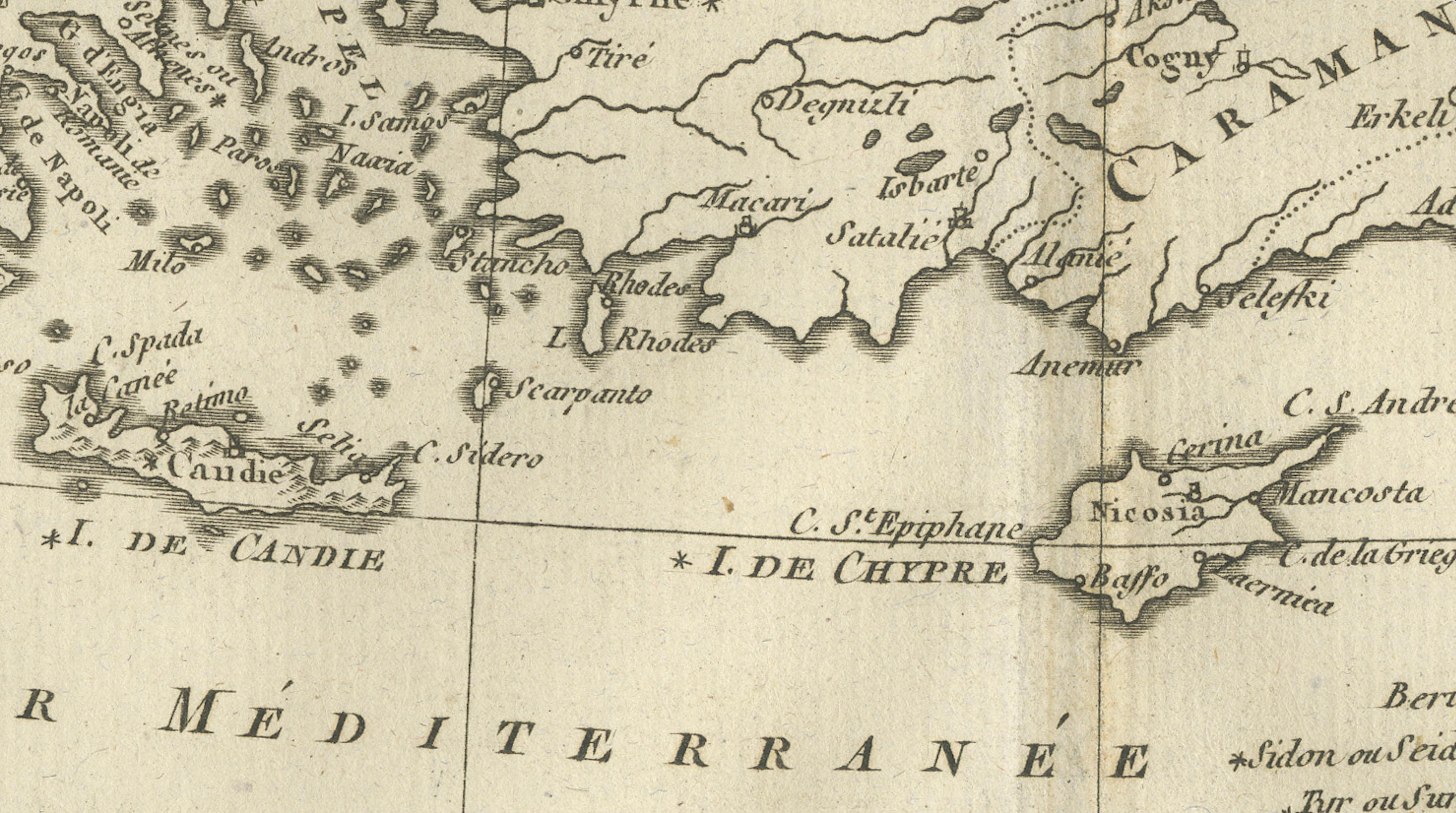
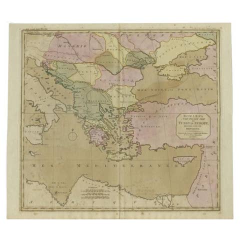
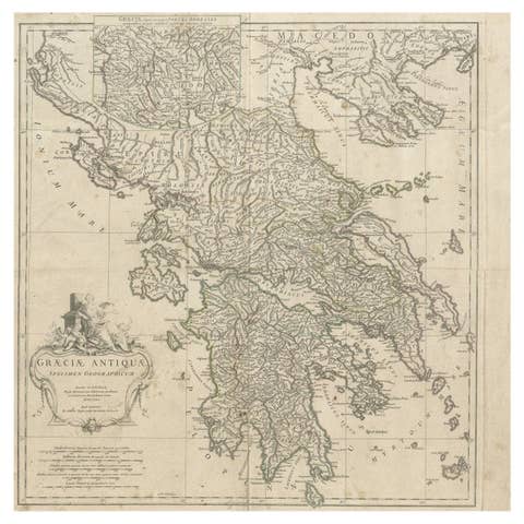
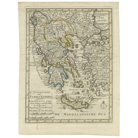
DESCRIPTION This map depicts Ottoman territories across southeastern Europe and western Asia at the height of imperial influence. Engraved by Rigobert Bonne, it presents the Balkans, Anatolia, and surrounding regions with clear emphasis on rivers, cities, and strategic coastlines. The map reflects European interest in Ottoman geography for diplomatic, military, and commercial purposes. Its restrained engraving underscores its function as a reference tool within a scientific atlas.