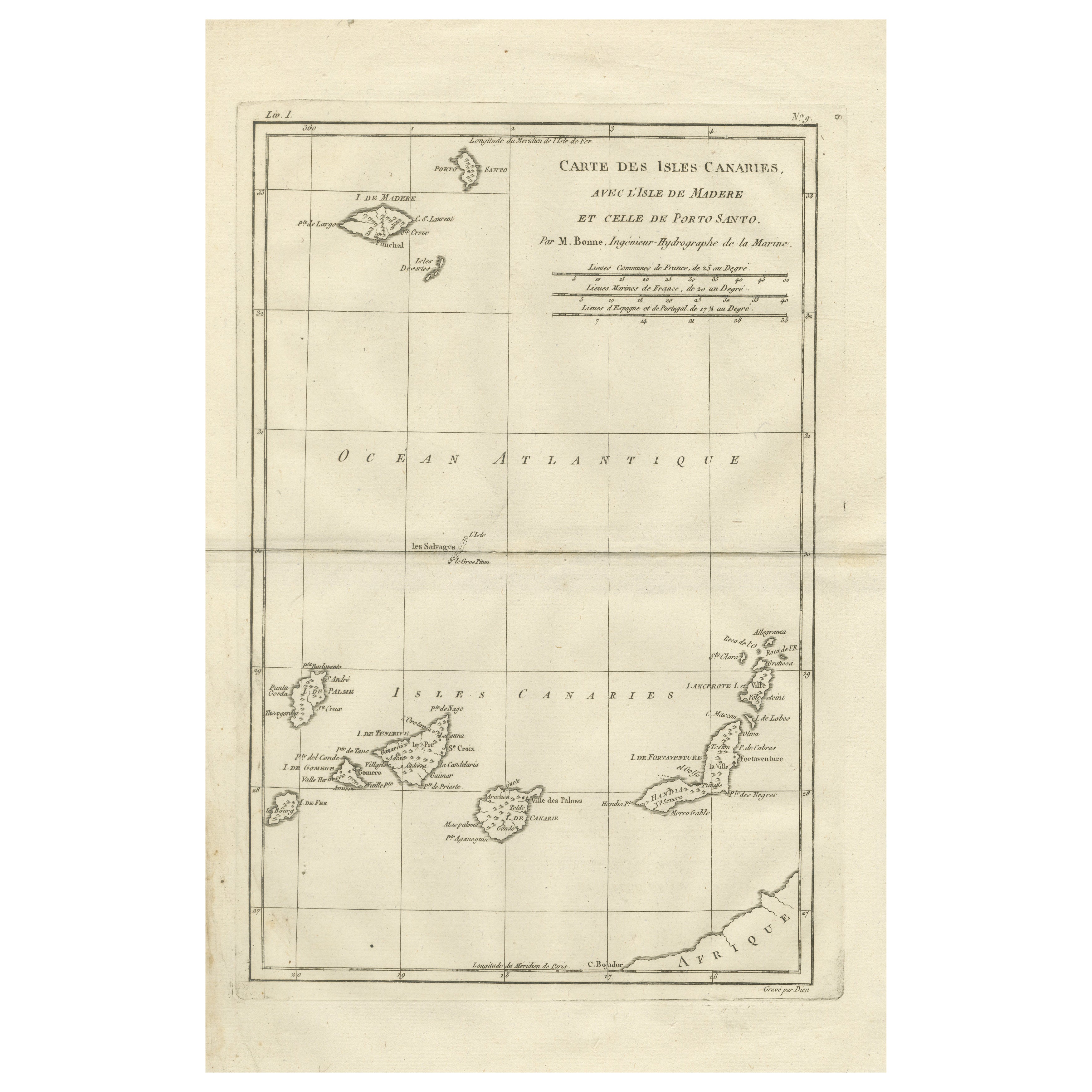
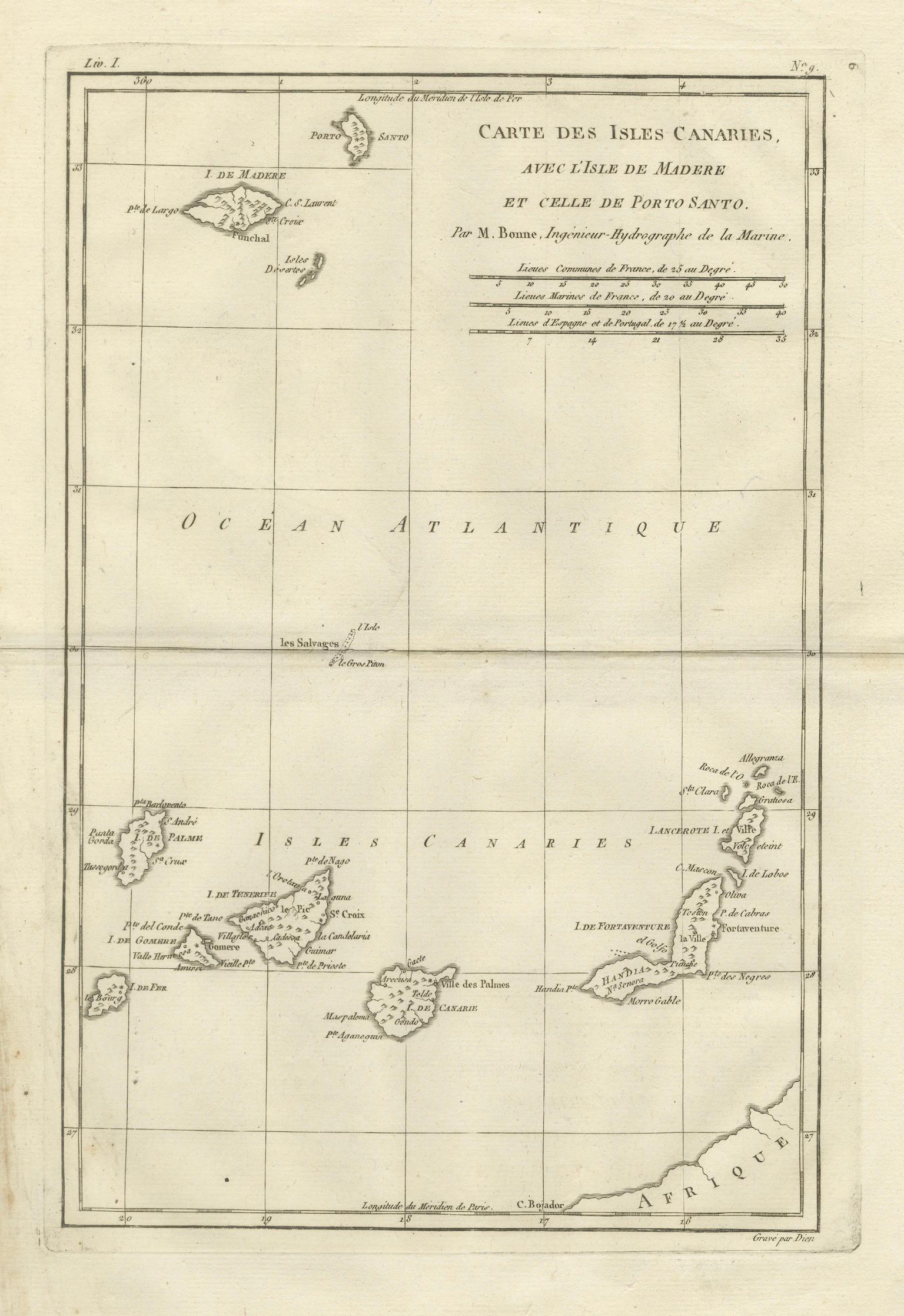
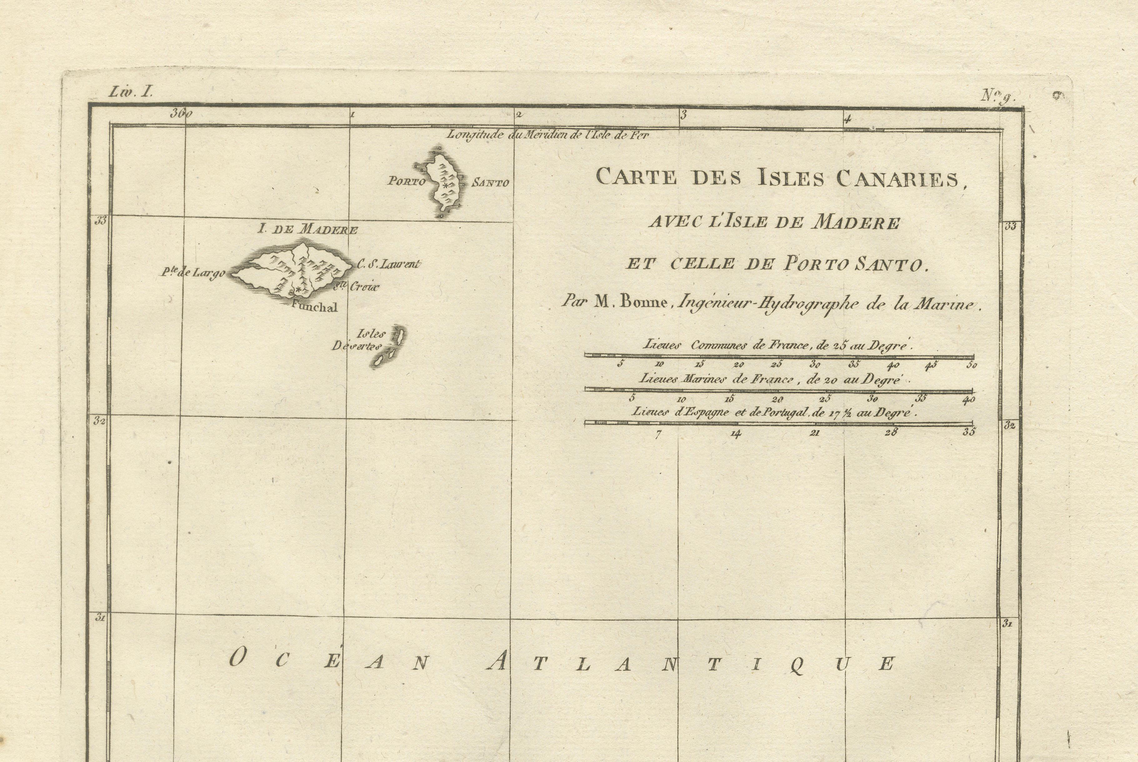
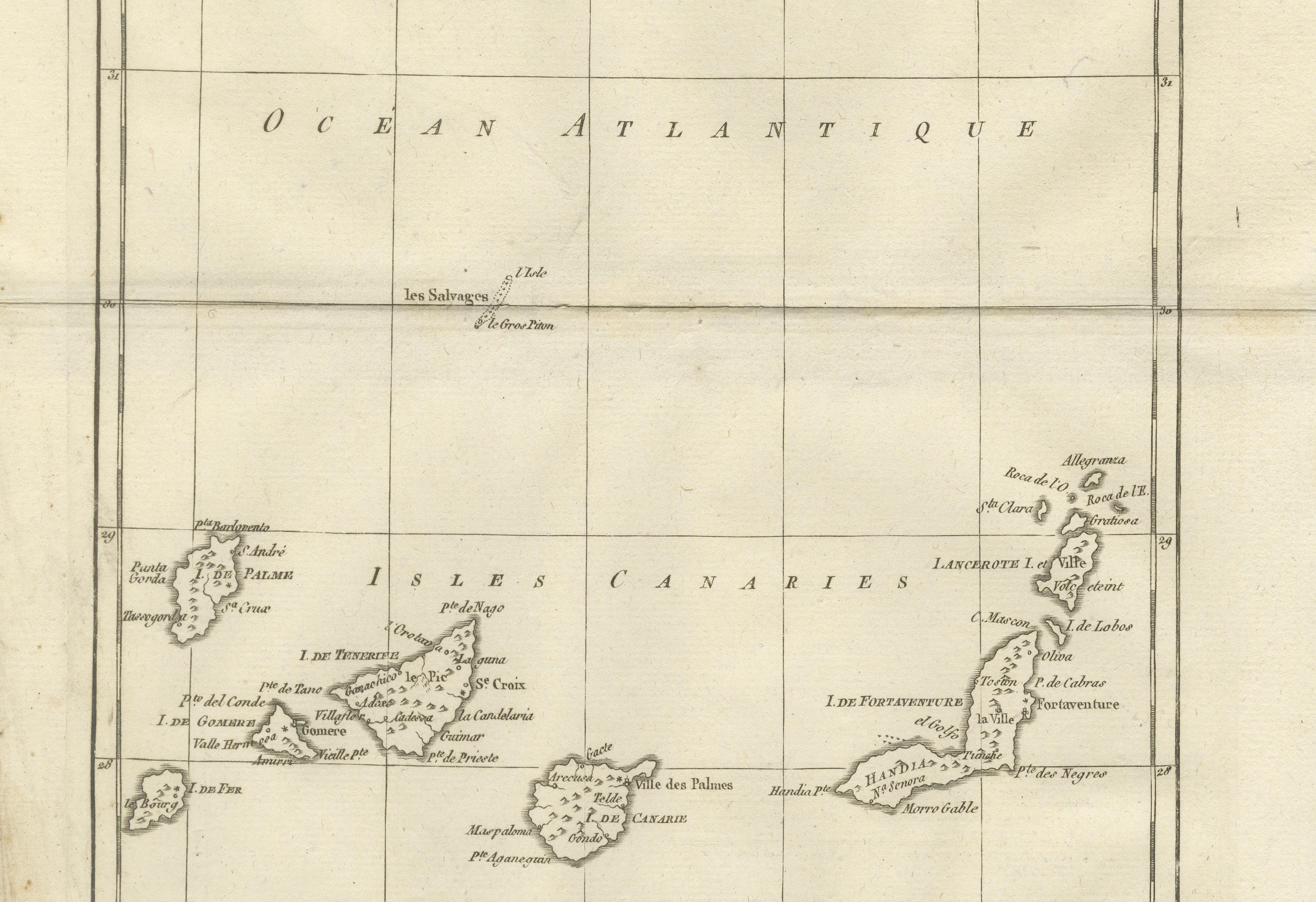
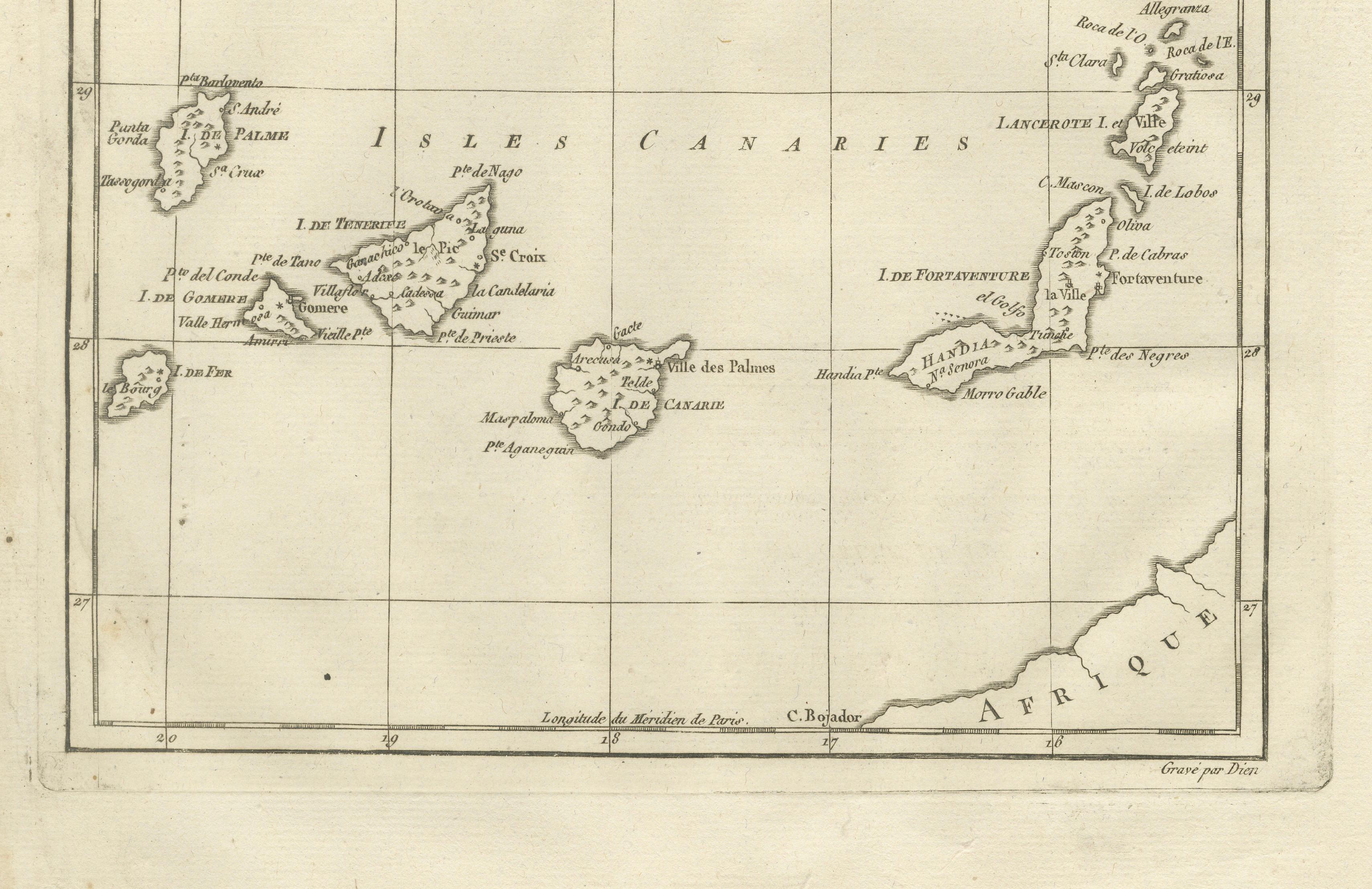
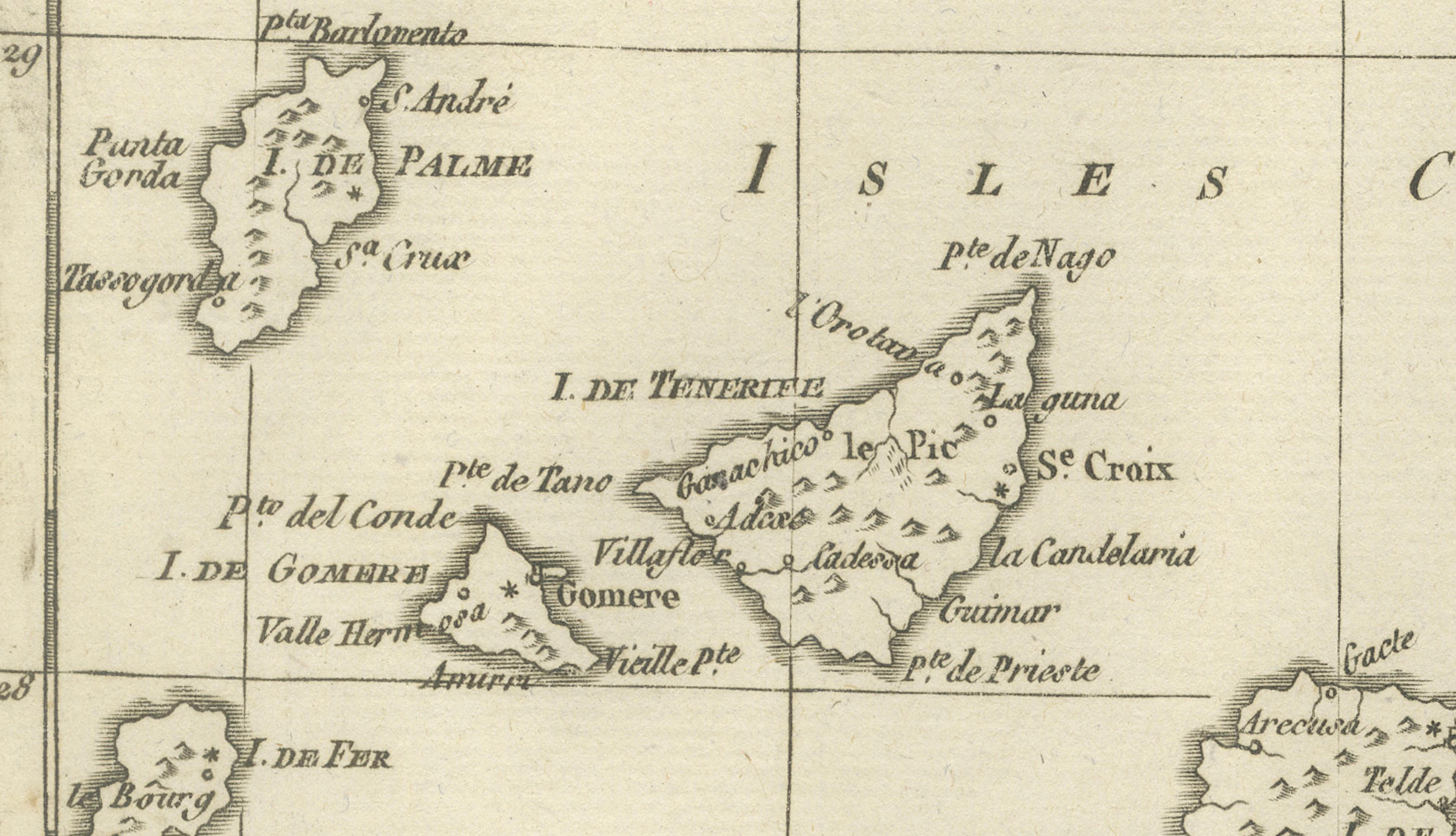
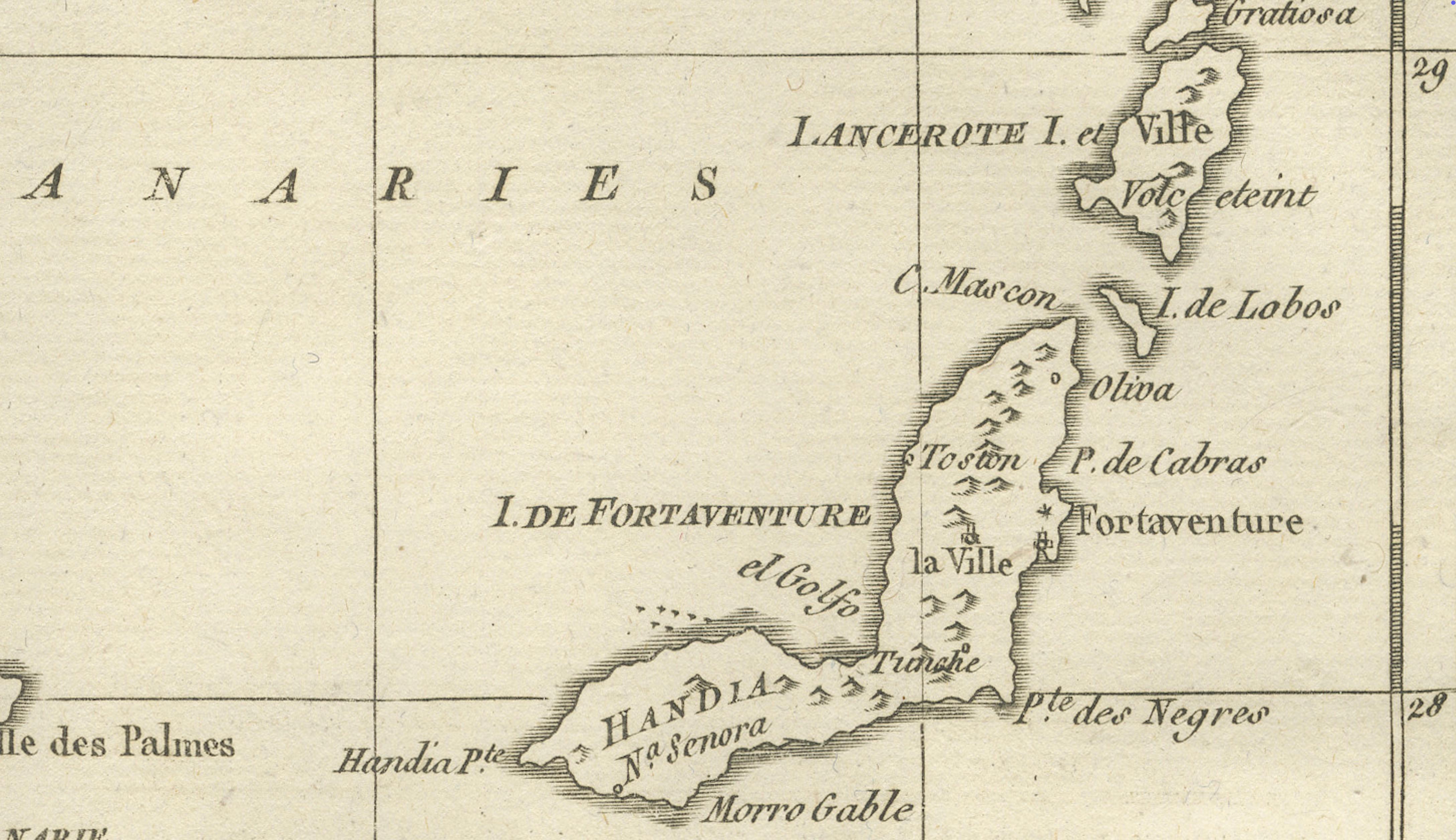
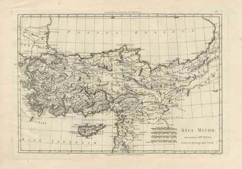
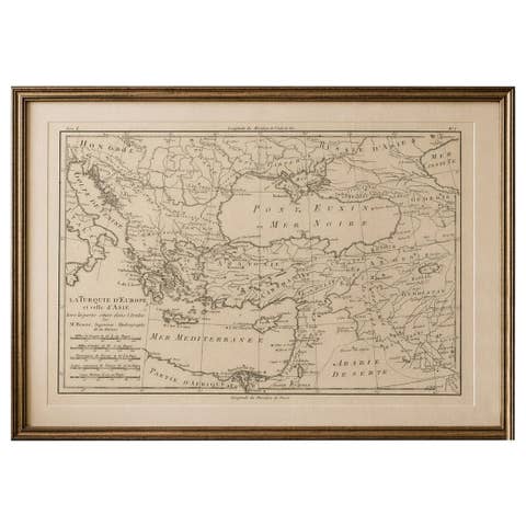
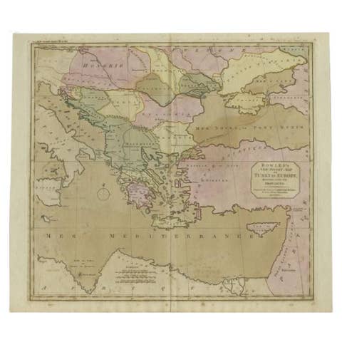
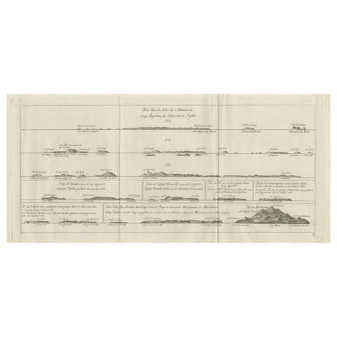
DESCRIPTION This map focuses on the Canary Islands, Madeira, and Porto Santo, vital Atlantic staging points for European navigation. Engraved under Rigobert Bonne’s direction, it emphasizes precise coastal outlines and island placement rather than ornament. These islands played key roles in transatlantic voyages to Africa and the Americas. The map’s clarity and restrained style make it an excellent example of Enlightenment island cartography.
KEYWORDS Canary Islands map, Madeira Porto Santo, Atlantic navigation, transatlantic routes, island cartography
CONDITION REPORT Light age toning. Central fold. Minor edge wear and scattered foxing.
FRAMING TIPS Float-mount recommended; light mat with slim dark frame for clean presentation.
Technique: Engraving Maker: Rigobert Bonne, France, circa 1780