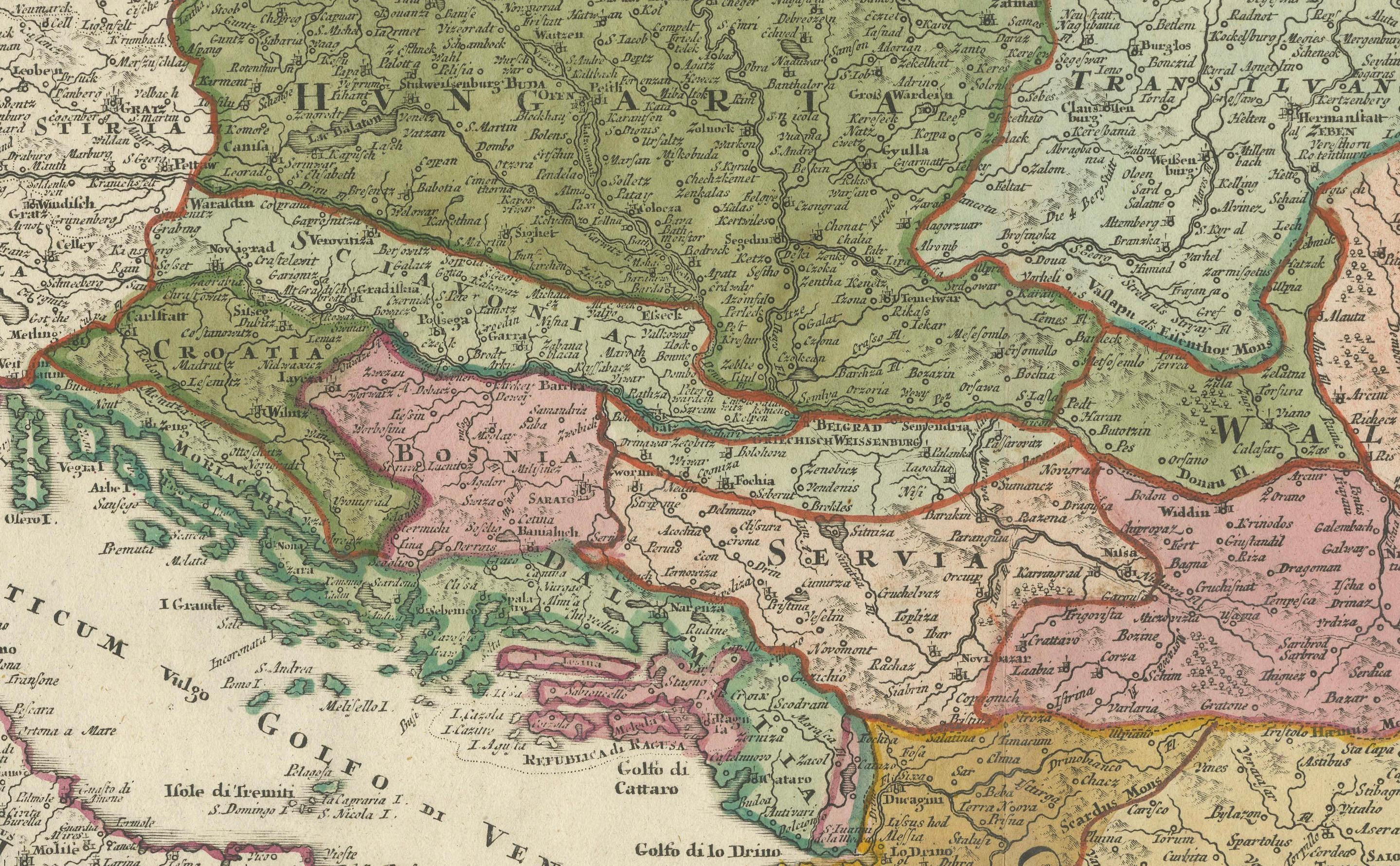
Greece and Ottoman Balkans Map – Homann Engraving ca. 1720
€ 750
One of a kind: this is the sheet in the photographs. Ships from Langweer, the Netherlands.
Date
1720
Sheet size
52 × 60.5 cm (20.5 × 23.8 in)
Condition
Good
Reference
BG-14026
Condition
Good for its age, with strong impression and original hand coloring. Some light age toning around the edges and minor signs of wear. No major staining or tears are visible. Folding line as issued, some support from tape on the reverse folding line.
About this sheet
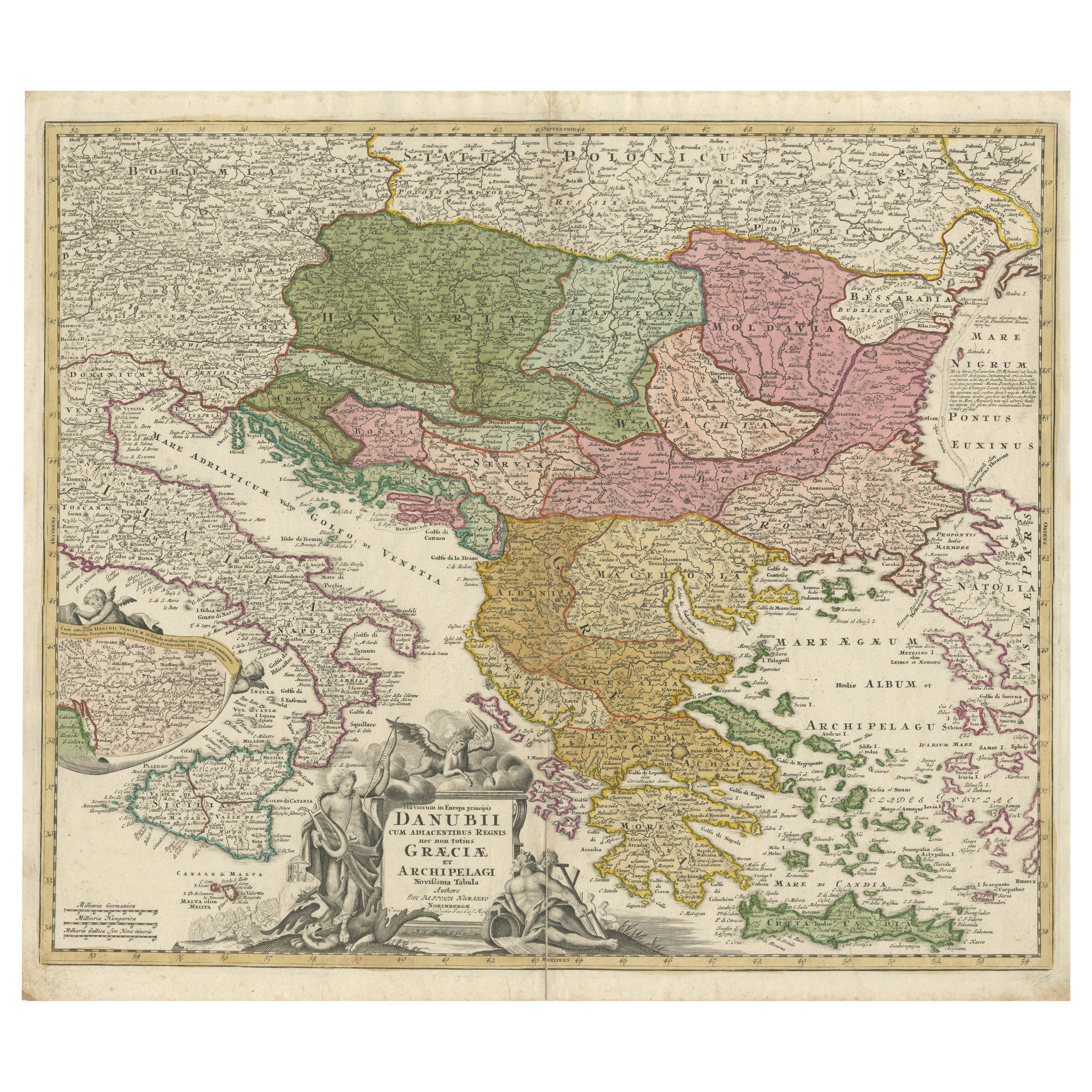
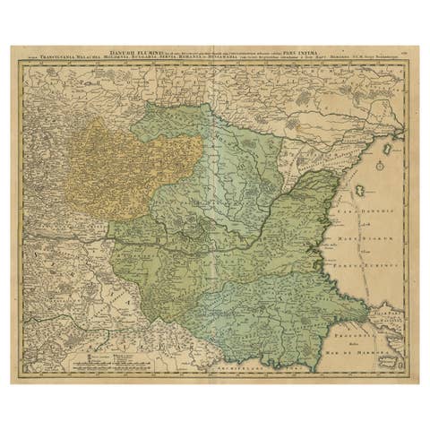
Greece and the Danube Basin Map c.1720 – Antique Engraving of the Balkans
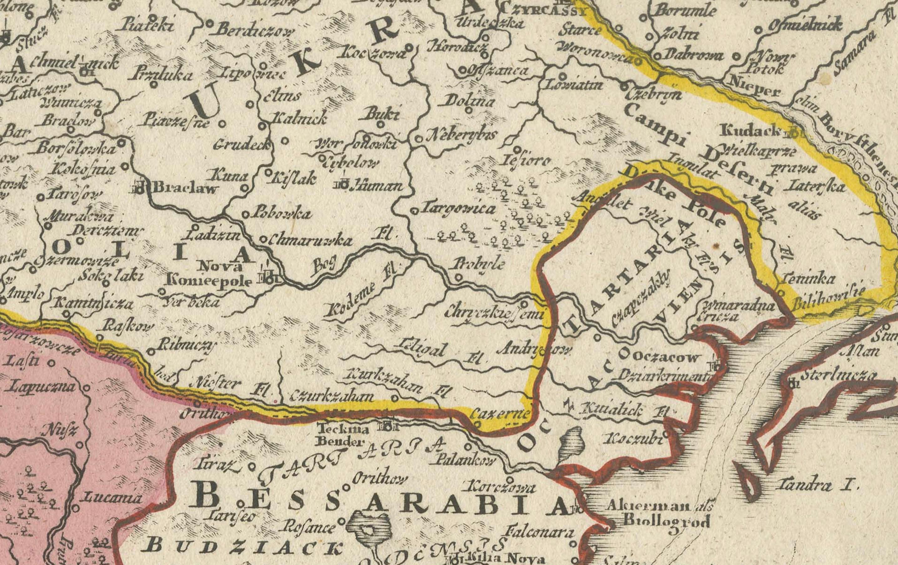
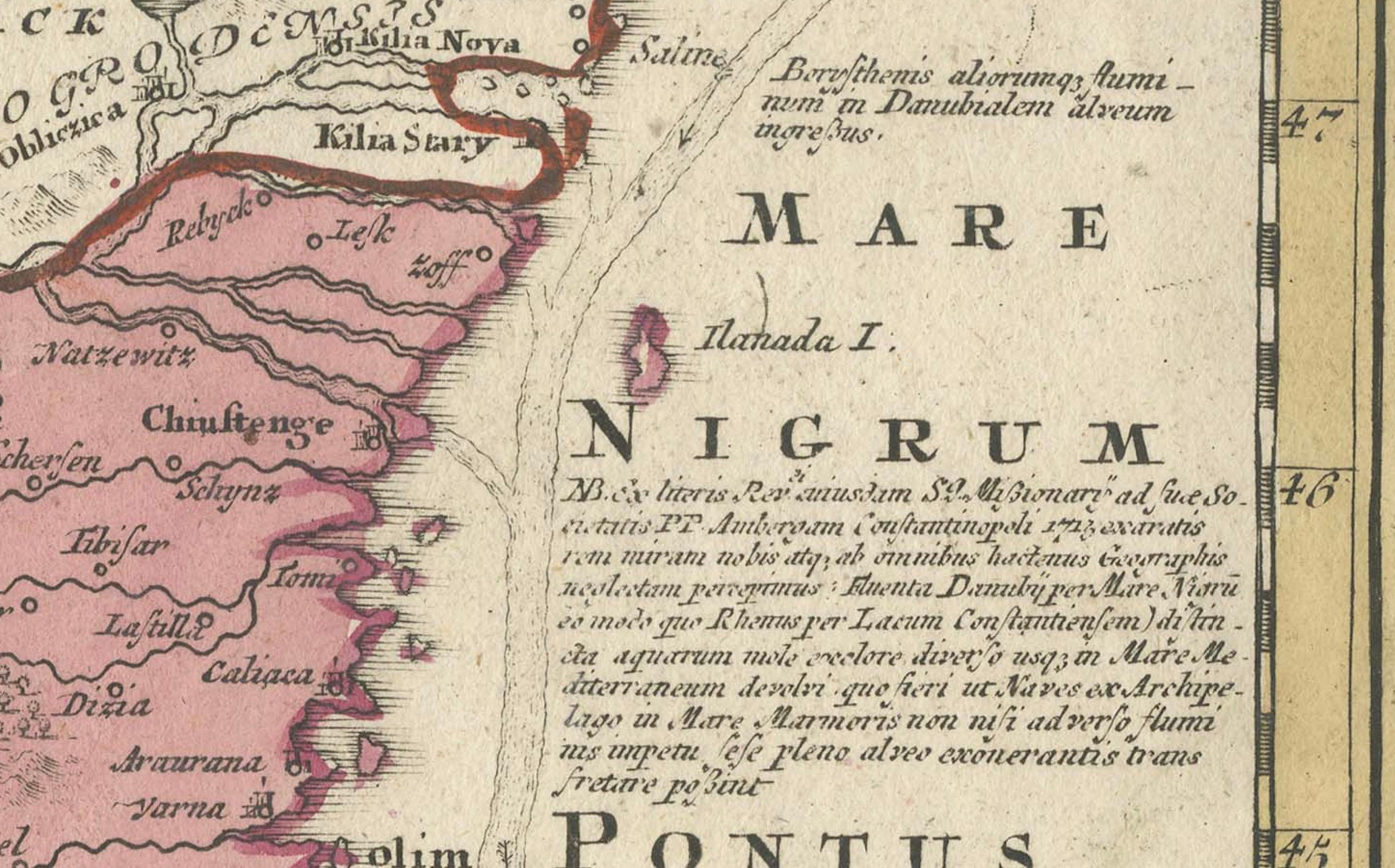
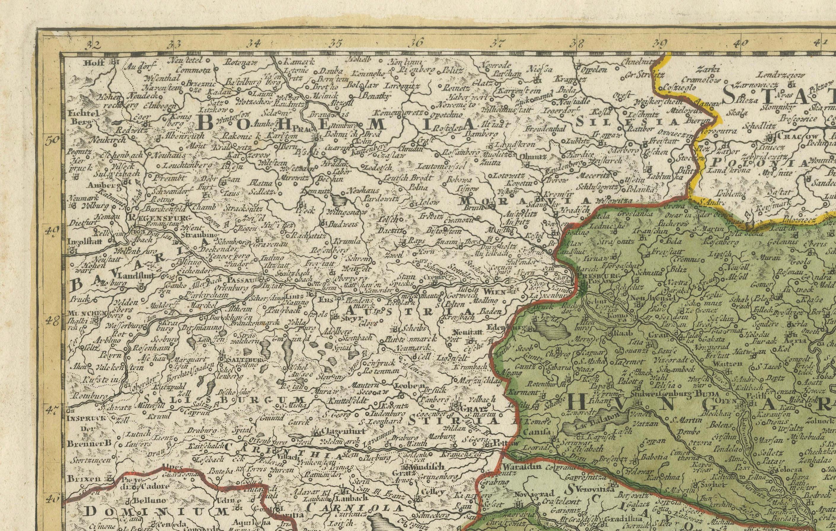
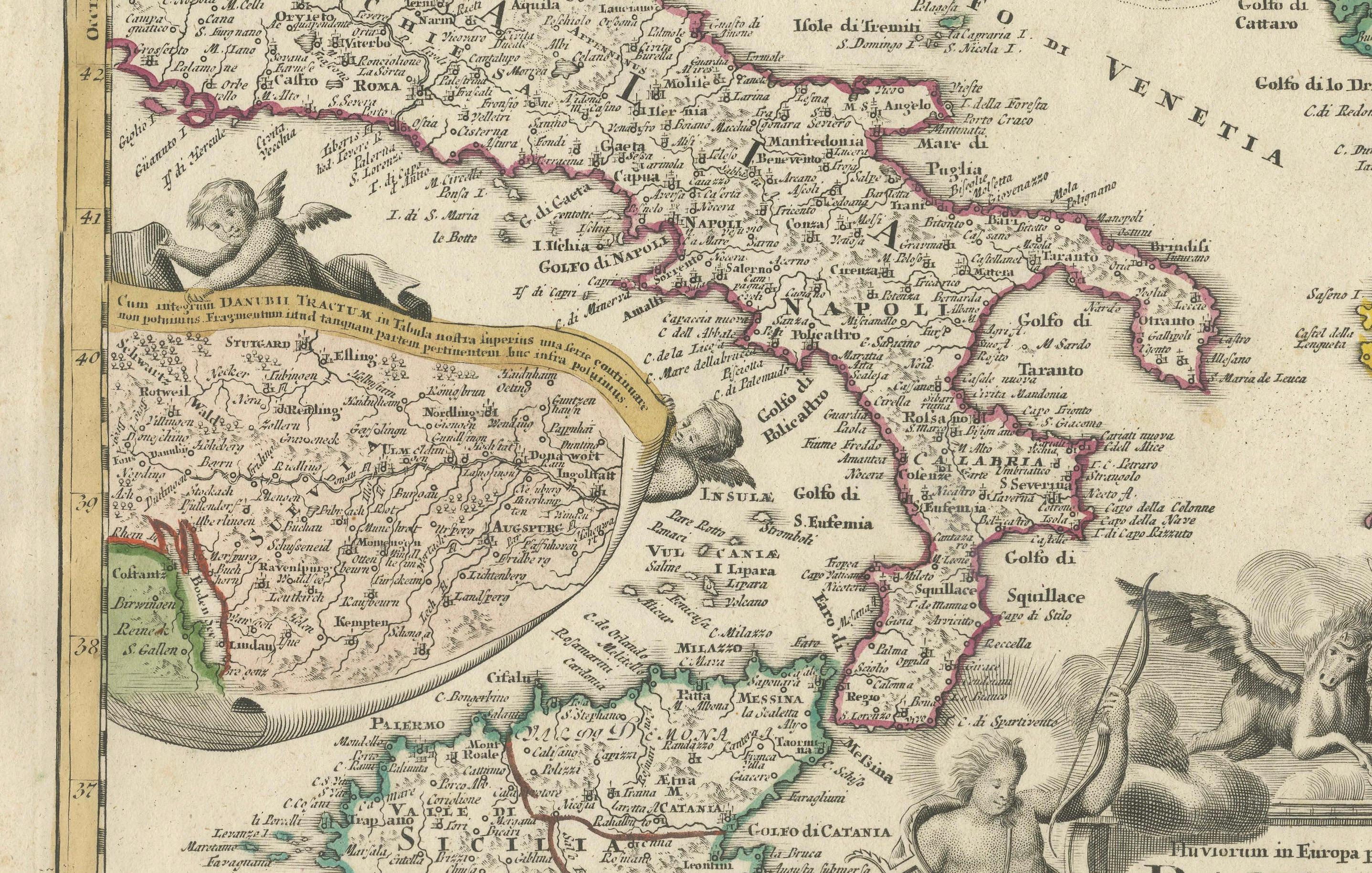
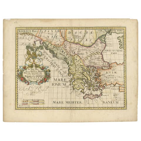
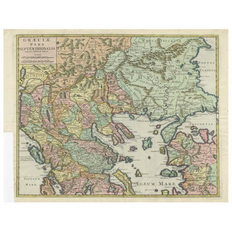
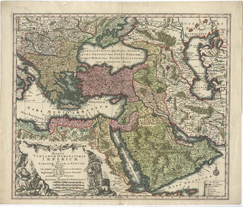
This remarkable early 18th-century map presents a sweeping view of southeastern Europe, centering on the course of the Danube River and extending across modern-day Greece, the Balkans, and parts of the eastern Mediterranean. The map is a finely detailed copperplate engraving with original hand coloring, offering a richly informative and visually compelling representation of one of Europe’s most historically significant regions.
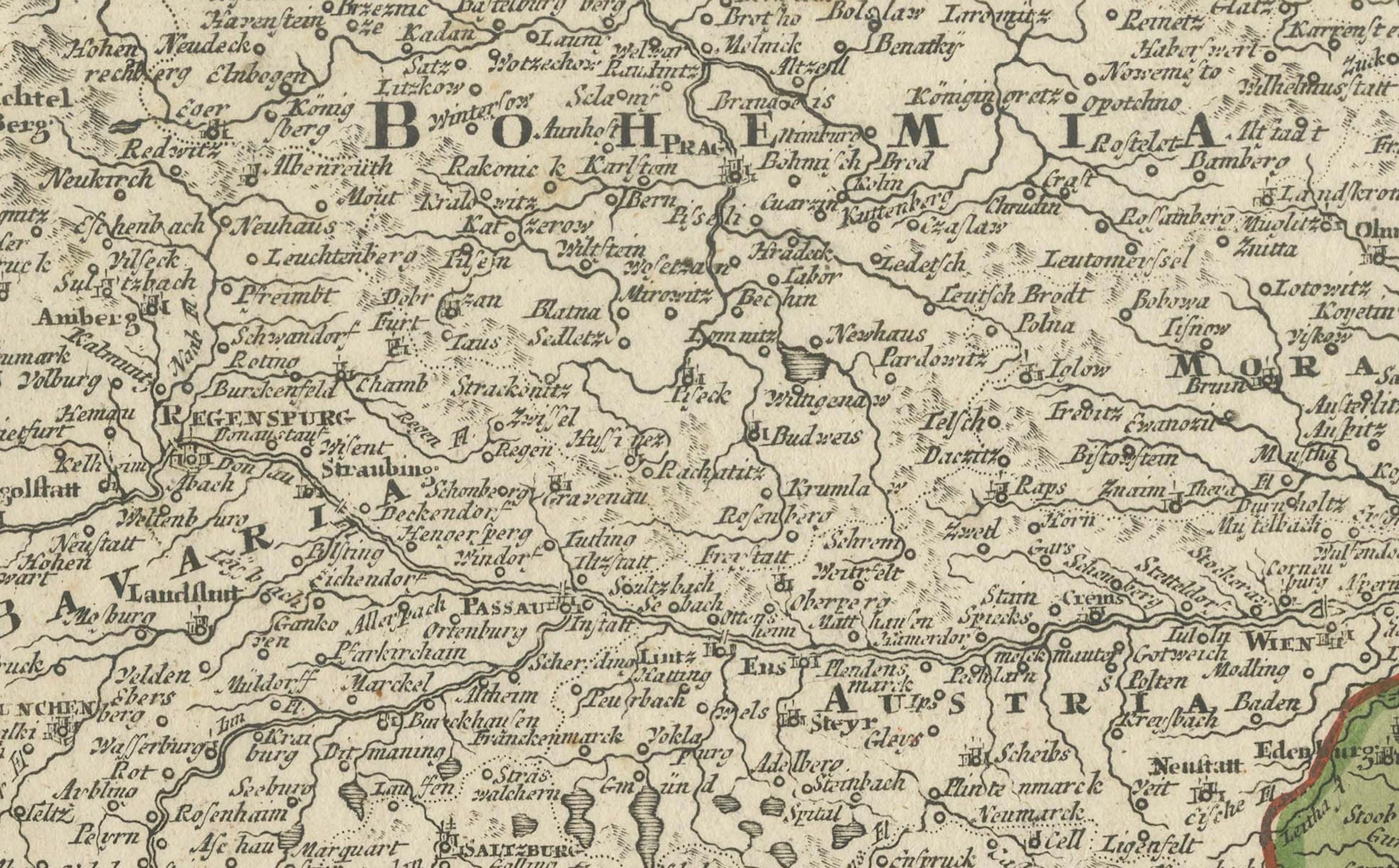
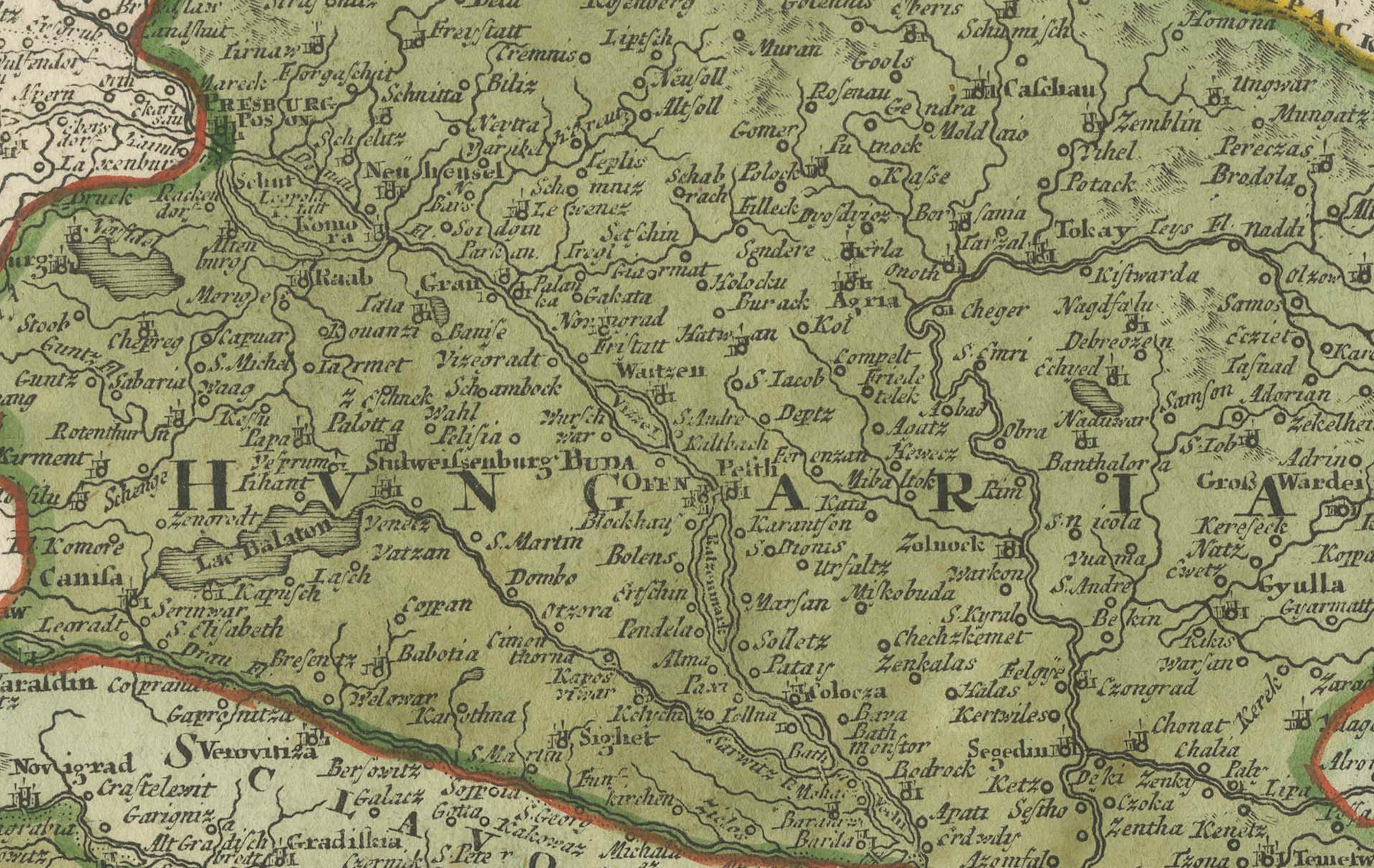
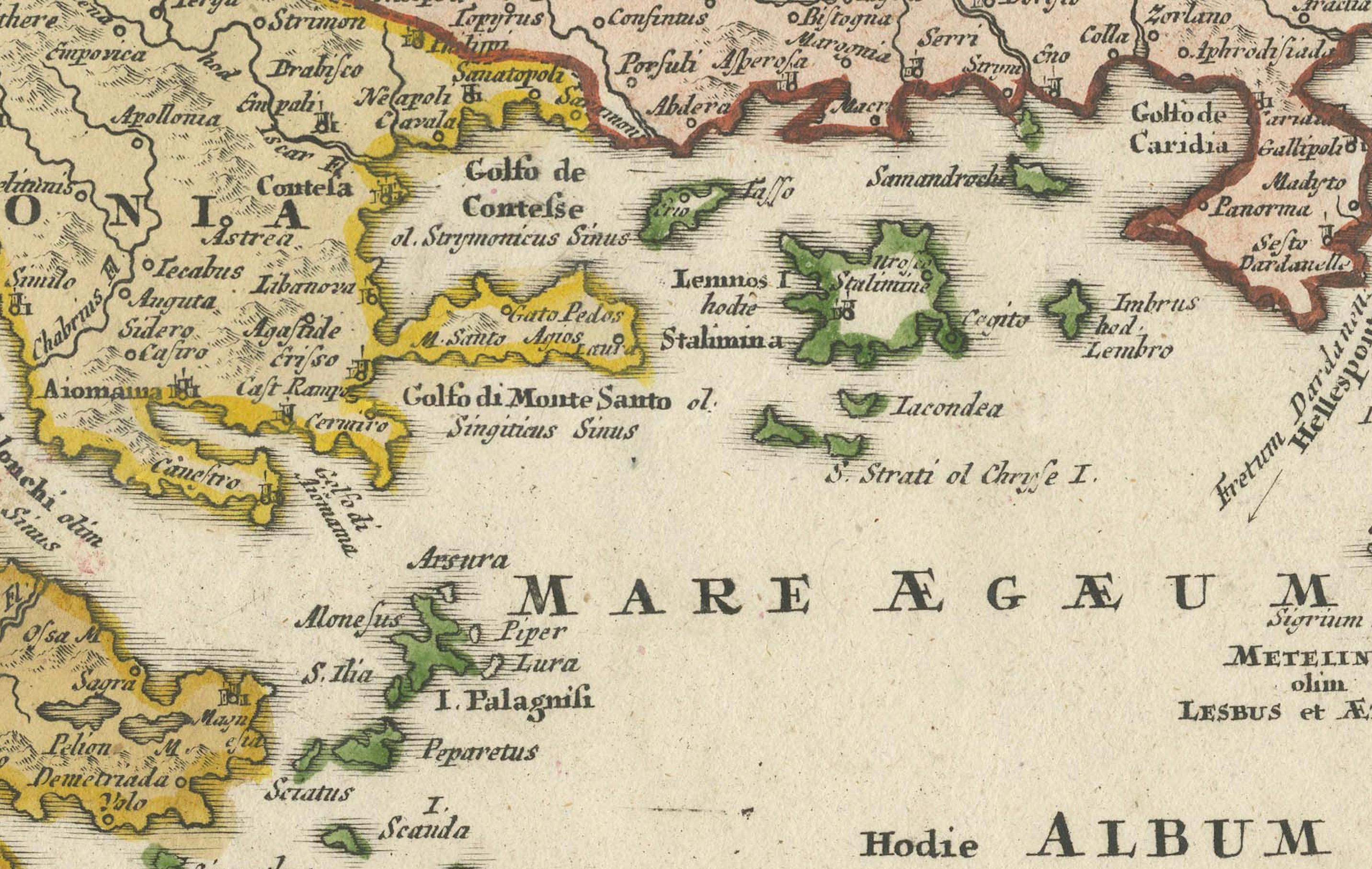
The geography encompasses the Adriatic coast, Dalmatia, Serbia, Bosnia, Bulgaria, Romania (then Wallachia and Moldavia), Hungary, Macedonia, Albania, and all of Greece, including the Peloponnese and its numerous offshore islands. Prominent place names such as Constantinople, Thessaloniki, Athens, and Belgrade appear in Latinized or Germanized forms, as was typical of the time. The Aegean Archipelago is particularly beautifully rendered, with dozens of islands carefully depicted and labeled.
Decorative flourishes frame the composition. A striking cartouche in the lower left corner features classical allegorical figures and martial symbols, emphasizing the strategic and military importance of the Danube region and Greece during the period of Habsburg-Ottoman rivalry. The inclusion of ships and coastal cities also highlights the maritime importance of the area.
This map is not only geographically informative but also a valuable piece of historical documentation. It captures the political landscape of the time, with colored borders demarcating various territories under imperial, Ottoman, and local rule. It invites viewers to trace the ancient and early modern paths of commerce, conflict, and culture through a pivotal crossroads of Europe and Asia.
Condition: This print is in good condition for its age, with strong impression and original hand coloring. There is some light age toning around the edges and minor signs of wear, consistent with early 18th-century paper. No major staining or tears are visible. Margins are adequate and the map remains well centered.
Framing tips: This map would display beautifully in a classic frame with either gold or ebonized wood, ideally with a double mat to set off the cartographic detail. A light cream or antique white mat with a narrow inner line in red or green would echo the original coloring. Museum glass is recommended to preserve the vibrancy and protect against UV damage. This piece would make a stunning focal point in a library, office, or study.