About this sheet
Antique Map of the Ottoman Empire by Matthäus Seutter, c. 1740

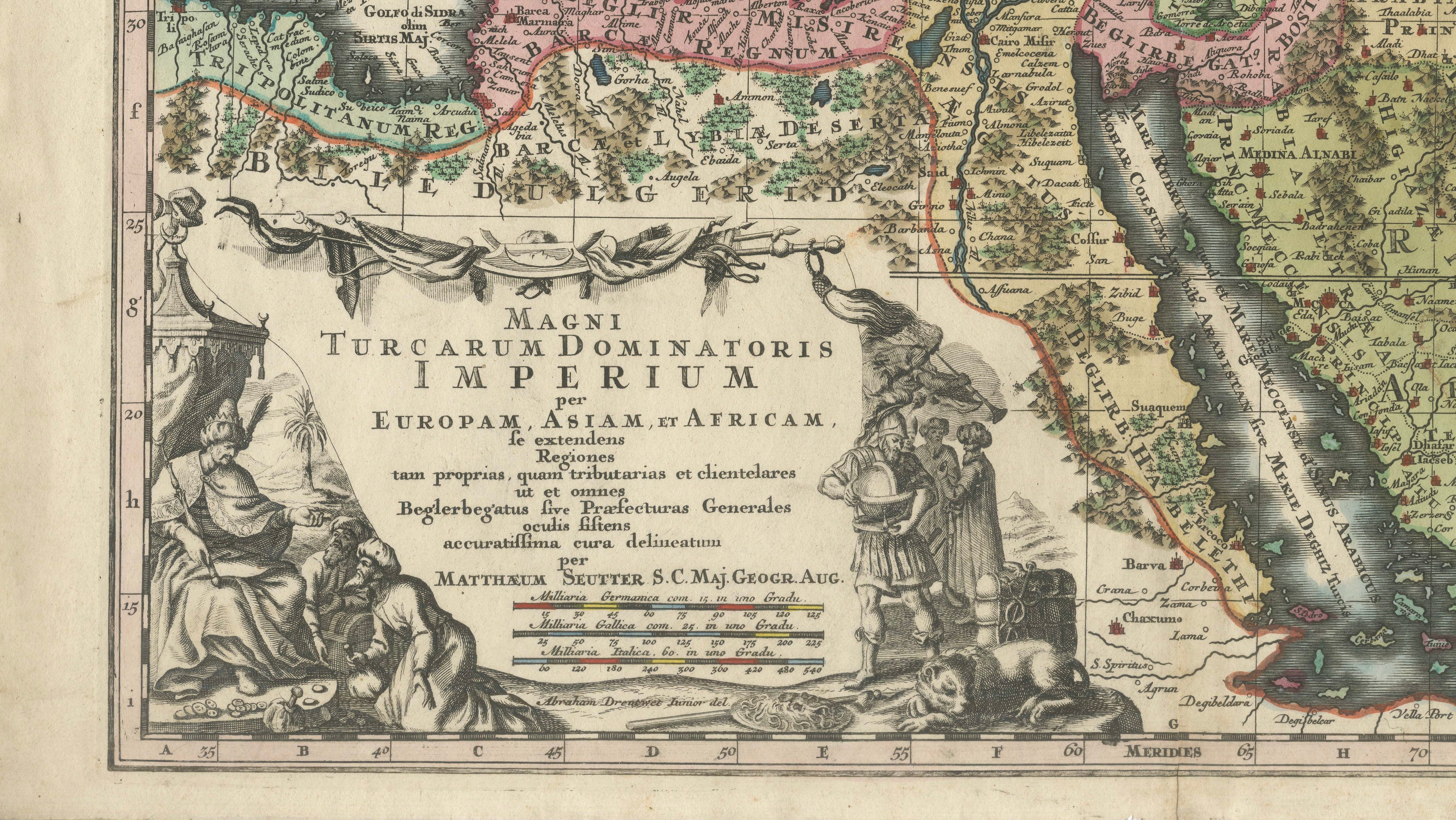
An impressive and highly decorative 18th-century map of the Ottoman Empire by the celebrated German cartographer and publisher Matthäus Seutter.
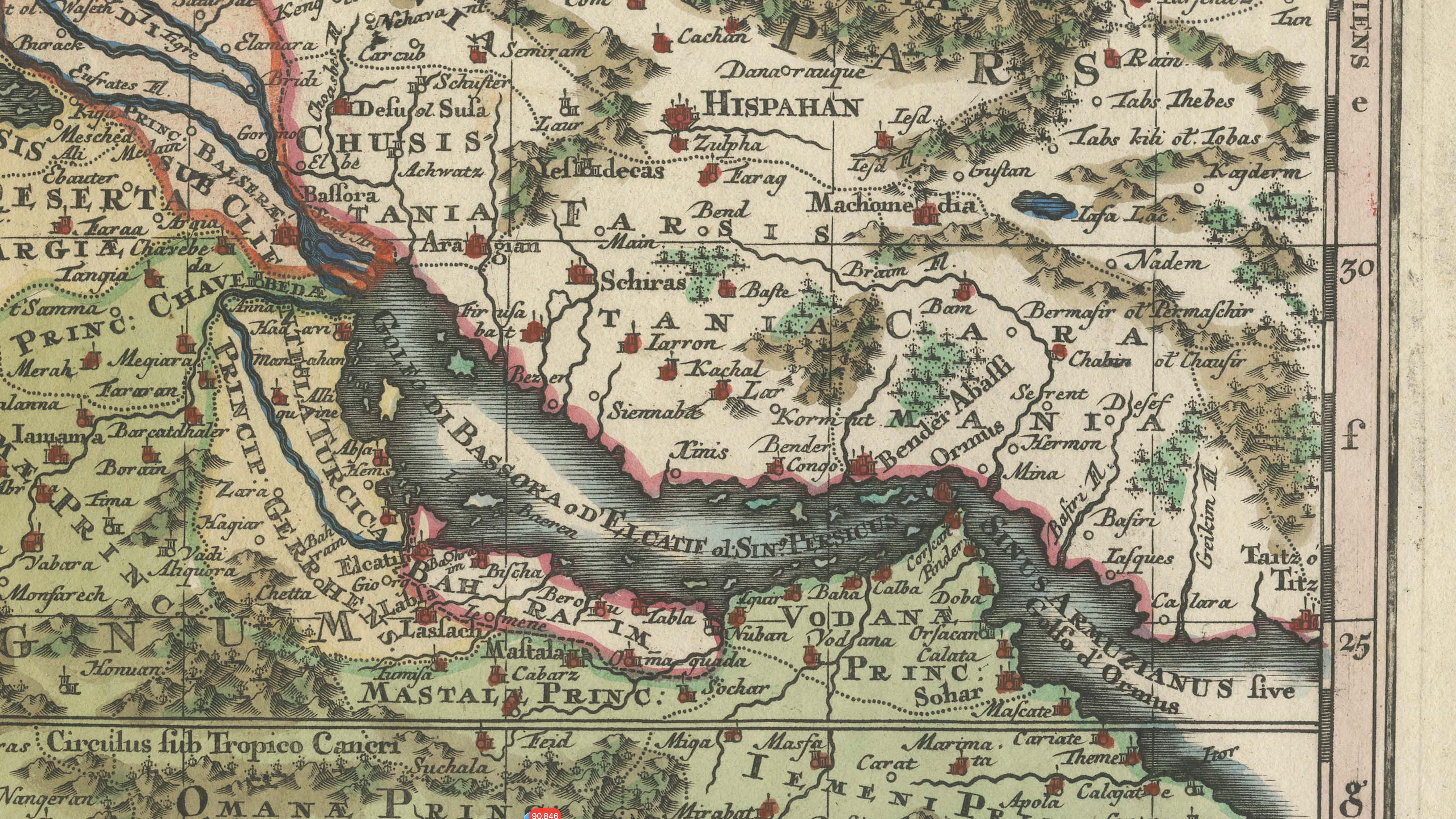
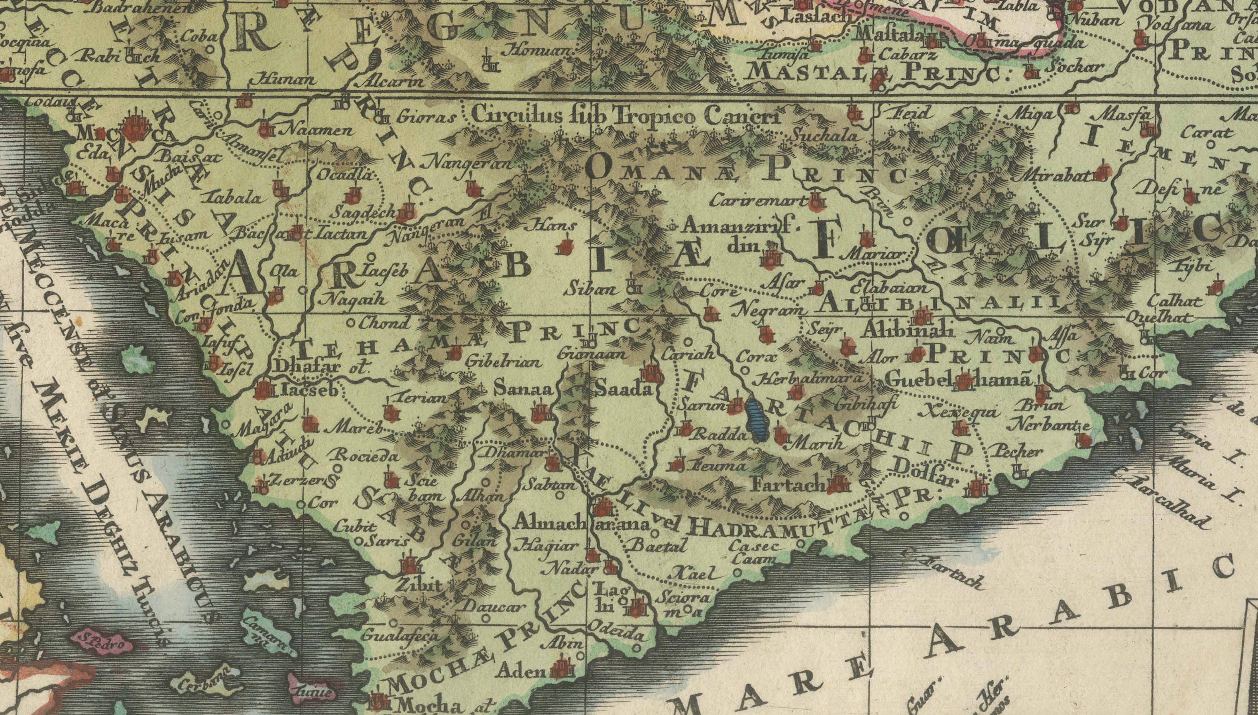
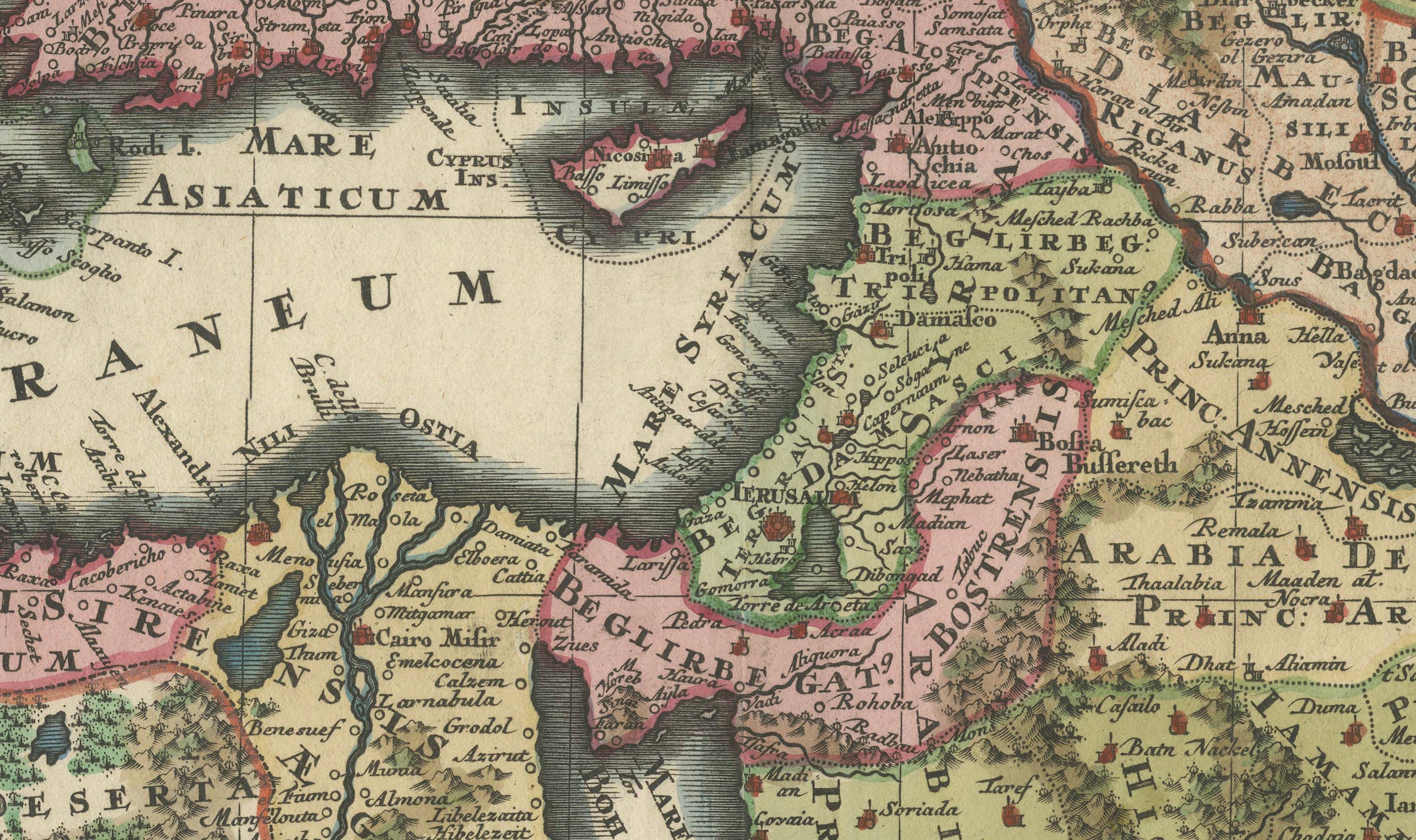
Titled “Magni Turcarum Dominatoris Imperium per Europam, Asiam, et Africam”, the map depicts the vast territories of the Ottoman Empire across southeastern Europe, the eastern Mediterranean, North Africa, the Middle East and the Arabian Peninsula. The geographical coverage extends from Italy and the Balkans eastward to Persia and the Caspian Sea, and from the Black Sea south to Egypt, Arabia and the Red Sea.
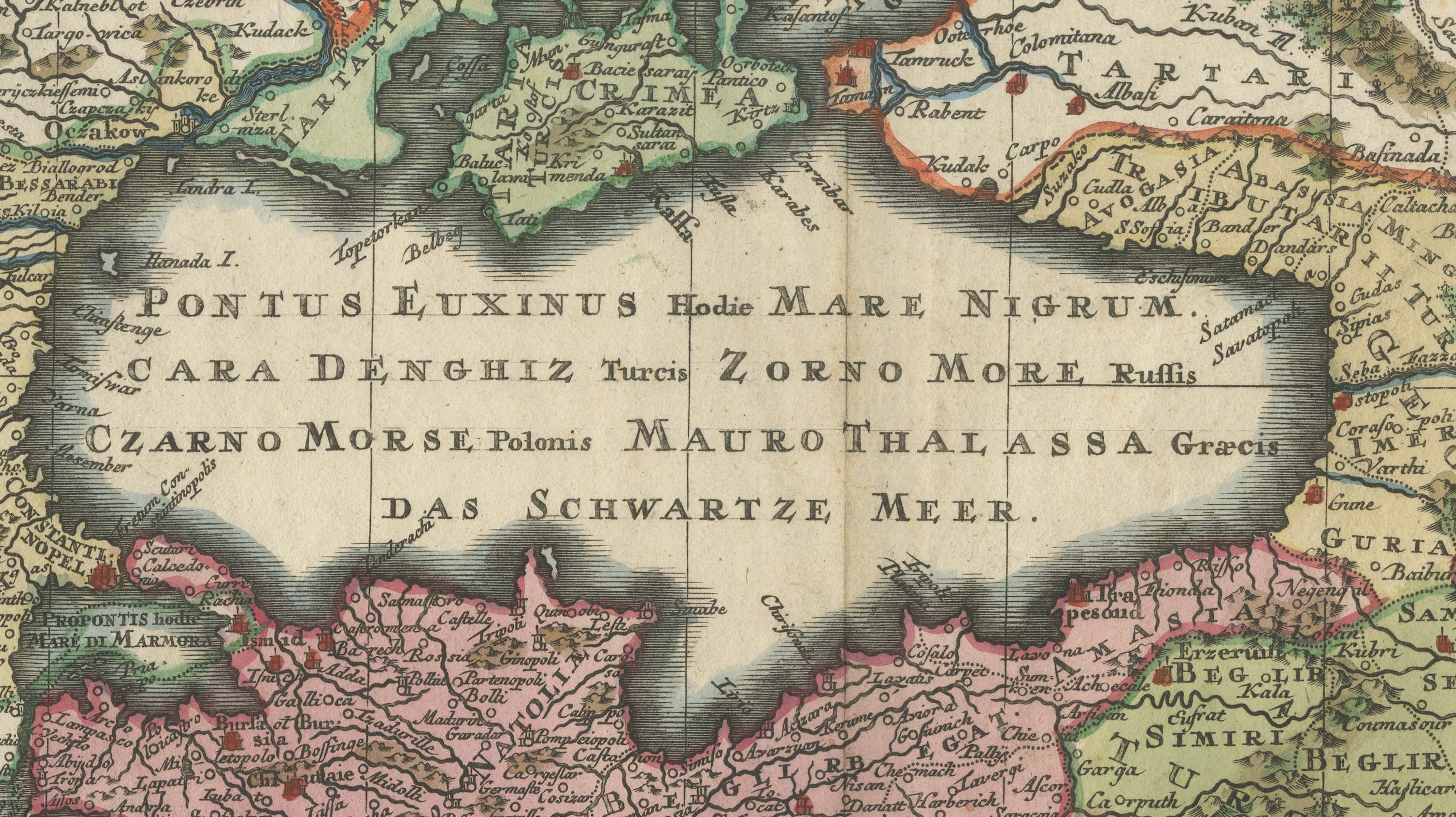
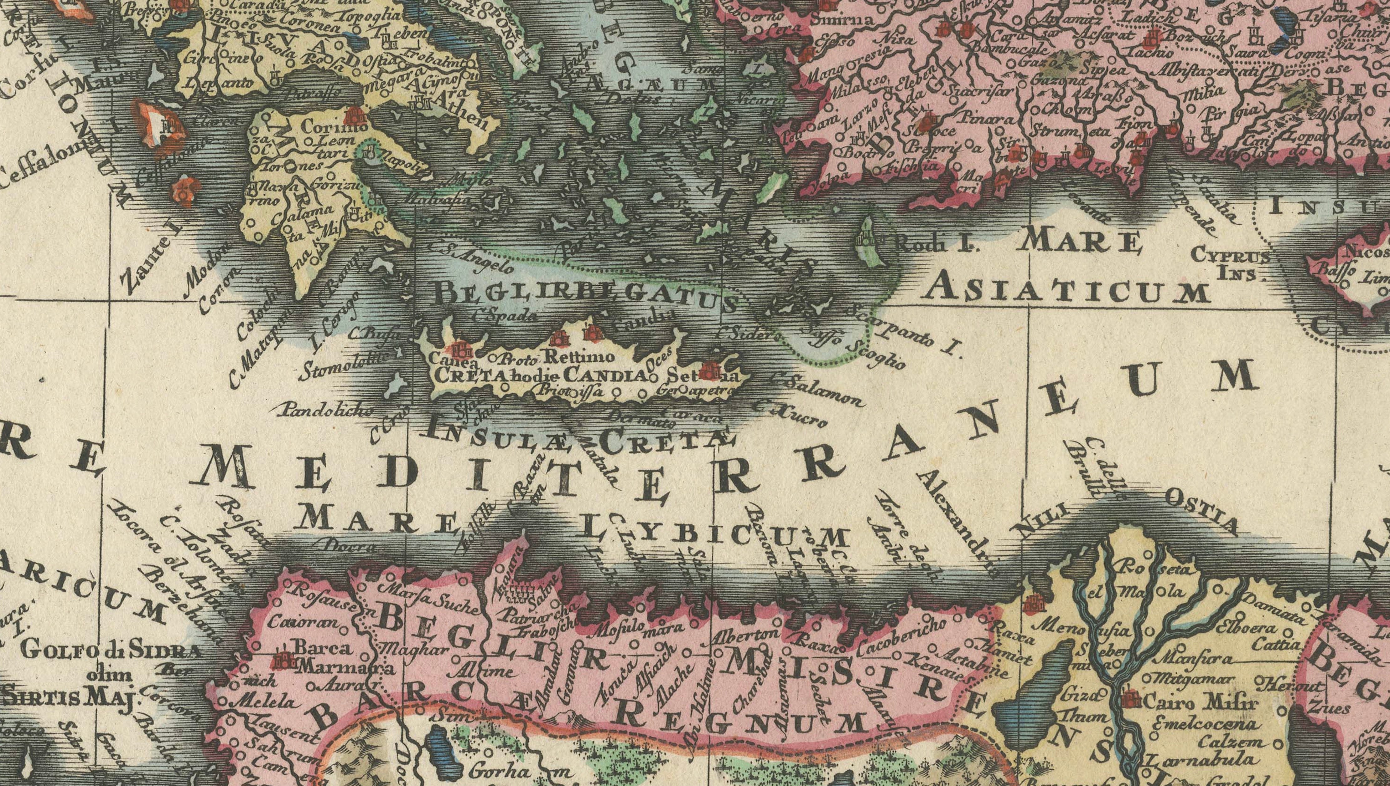
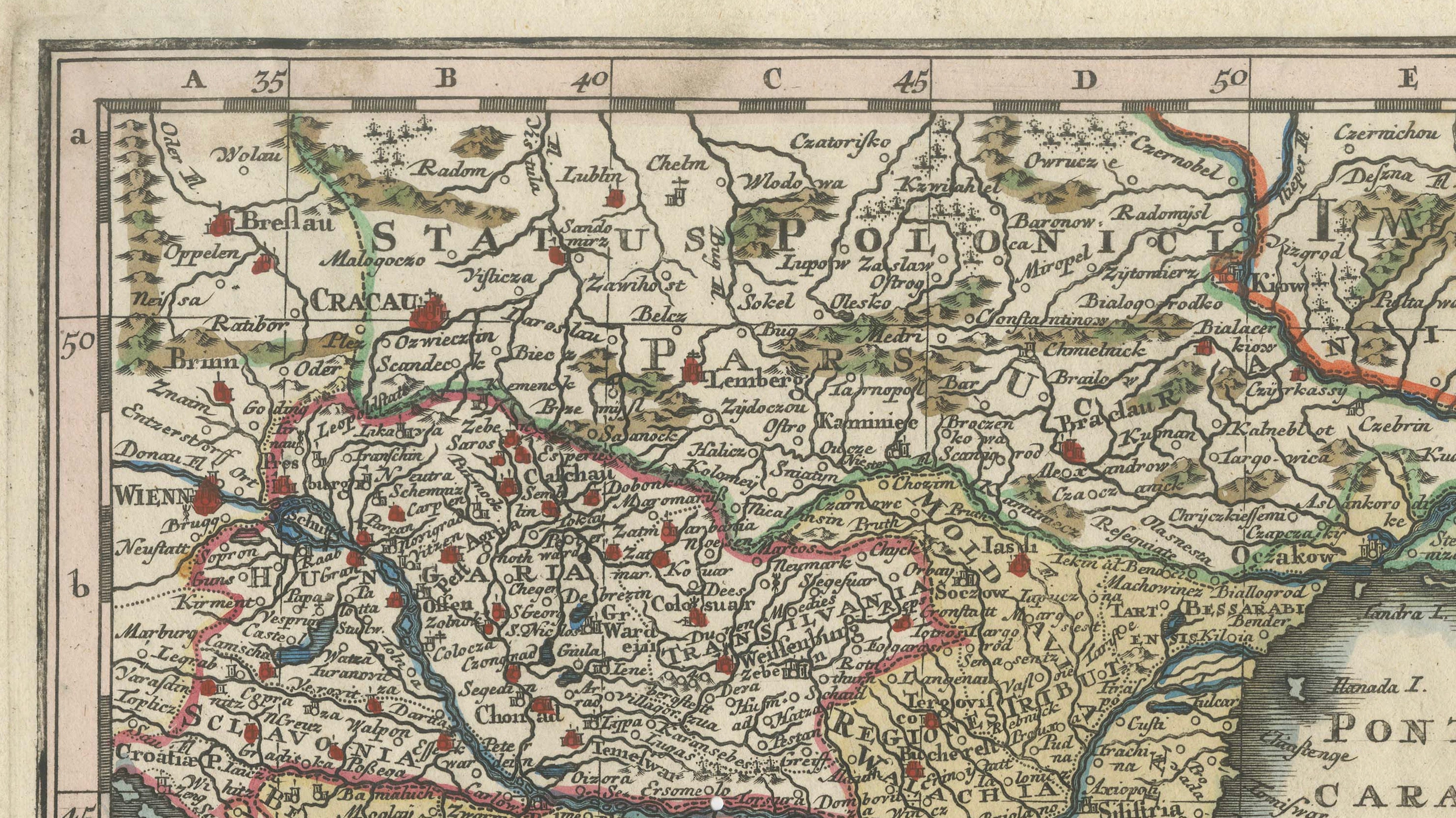
The map is particularly attractive for its extensive original hand coloring, with individual territories and political boundaries picked out in different colors. Seas, mountain ranges, rivers, cities and regional divisions are shown in considerable detail.
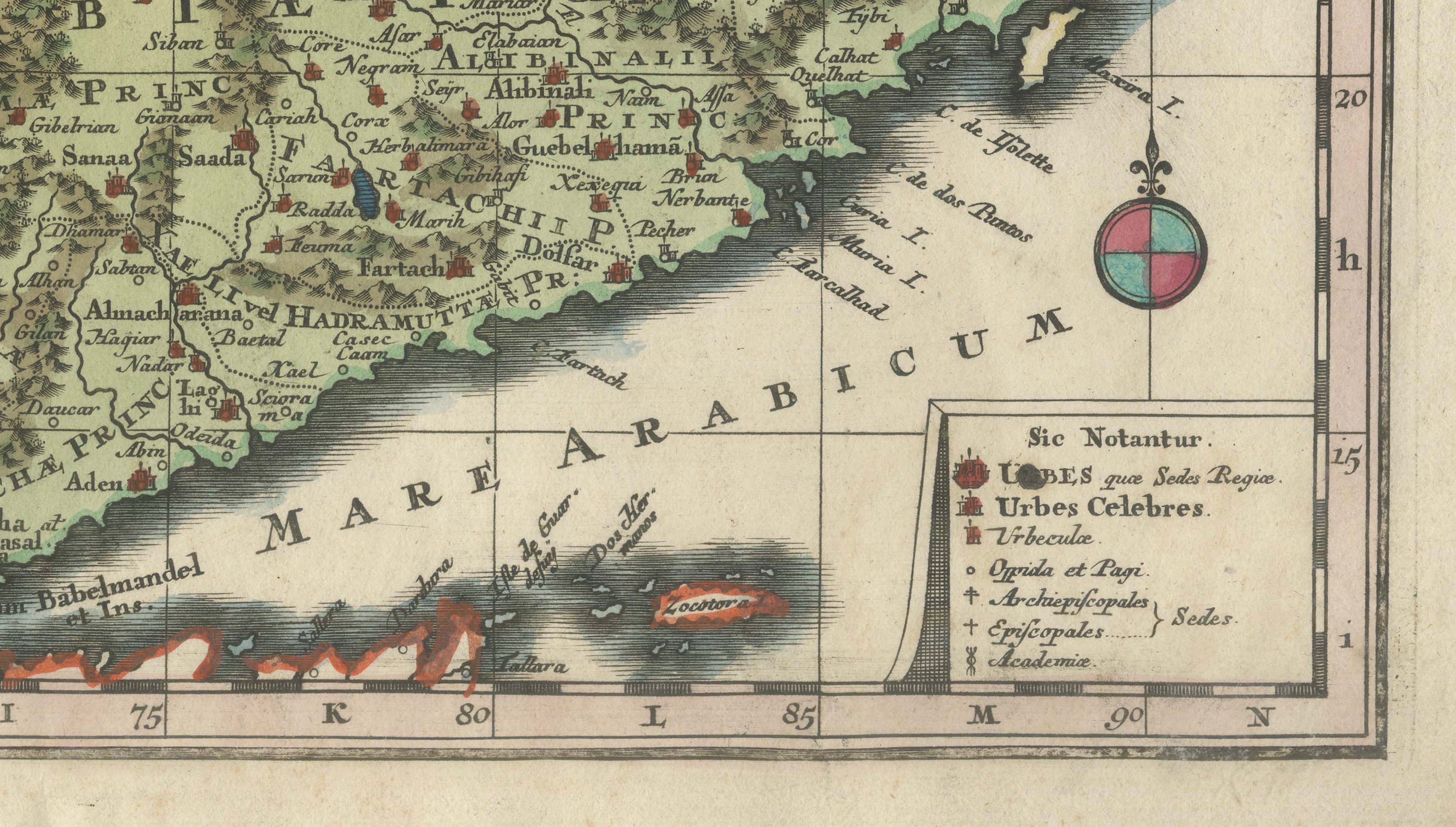
At lower left is a magnificent engraved title cartouche featuring allegorical and Ottoman figures, military trophies, weapons and other decorative elements. A small explanatory key appears at lower right.
A fine example of the elaborate German Baroque cartography for which Seutter’s Augsburg publishing house became renowned during the first half of the 18th century.
Creator: Matthäus Seutter (1678–1757)
Title: Magni Turcarum Dominatoris Imperium per Europam, Asiam, et Africam
Date: circa 1740
Place of publication: Augsburg, Germany
Technique: Copper engraving with original hand coloring
Dimensions: approximately 54.1 x 64 cm (21.3 x 25.2 inches)
Condition: Good antique condition. Two small wormholes along the lower margin. Upper left corner lightly handled/worn. Verso with an old label and inscription at upper left. General age-related toning and minor signs of handling consistent with age. Original center fold as issued.
An original antique map, published in the 18th century. Not a modern reproduction.
Sold unframed.