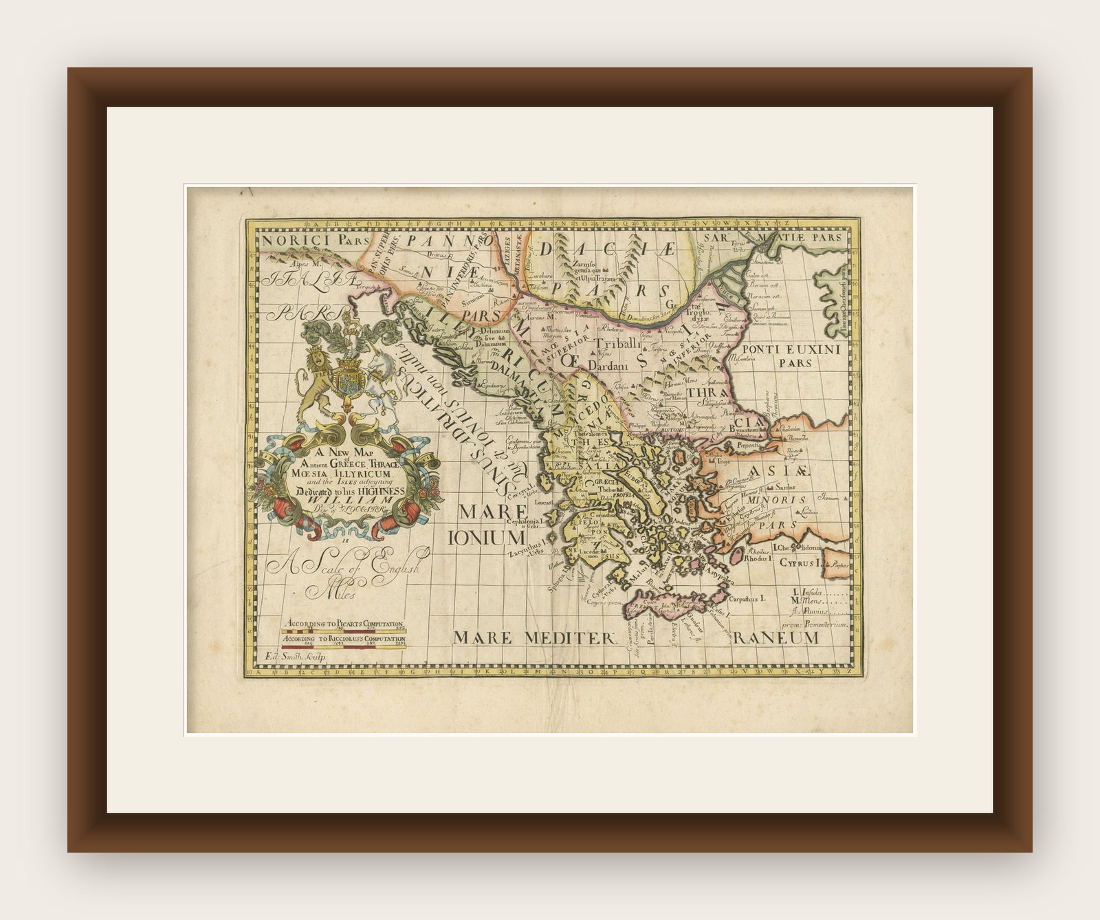
1710 Edward Wells Detailed Ancient Greece Map with Ornate Cartouche
€ 770
Original antique · The actual sheet photographed · Certificate of authenticity on request · Sold unframed · Worldwide shipping from € 15 (rates)
Date
1710
Sheet size
45.5 × 59 cm (17.9 × 23.2 in)
Condition
Good
Reference
BG-13645-2
What the condition grades mean
Excellent
Bright and clean, with no faults worth mentioning.
Very good
Only light signs of age, such as faint toning.
Good
Normal signs of age for a sheet of this period: toning, some foxing, small marks or neat old repairs.
Fair
Clear faults such as staining, tears or repairs, priced to match.
Every fault we see is written in the condition note, and the whole sheet is shown uncropped in the photos.
Condition
Good. General age-related toning and/or occasional minor defects from handling. The map shows some signs of age, including weak fold lines at the lower central fold, but these do not significantly detract from its overall appearance or utility.
About this sheet
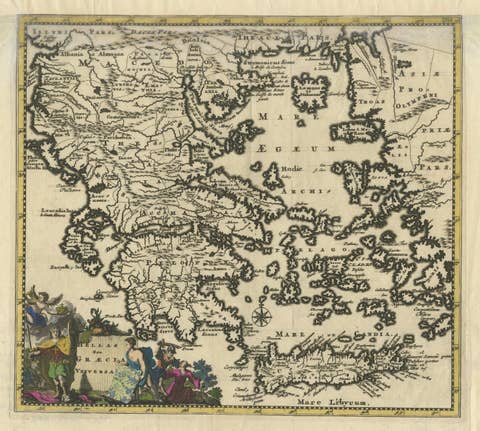
"1710 Edward Wells Map of Ancient Greece: A New Map of Antient Greece, Tirana, Morea, Ilyricum, Sicily, and Macedonia"
Description of the Map:
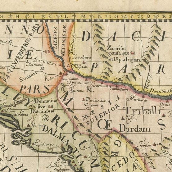
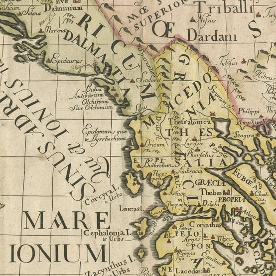
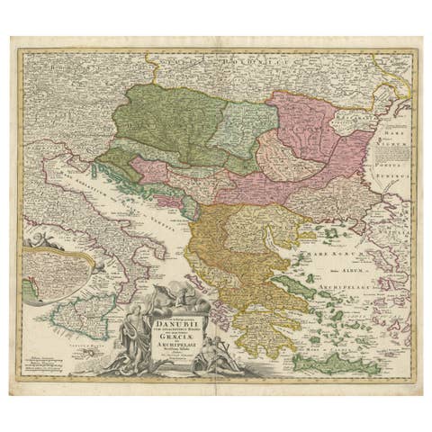
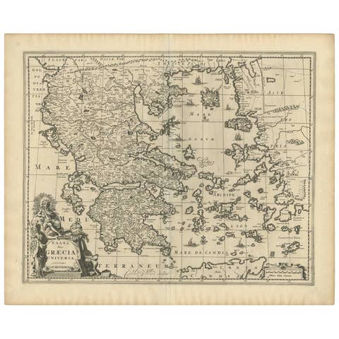
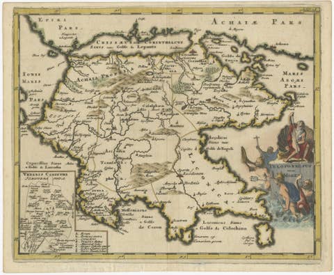
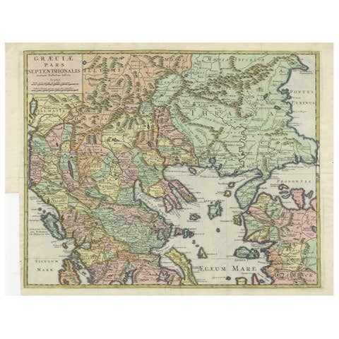
This map, produced around 1710 and engraved by E. Smith, originates from Edward Wells' "Ancient and Present Geography." It offers a detailed depiction of ancient Greece, including regions like Tirana, Morea (Peloponnese), Ilyricum (parts of the western Balkans), Sicily, and Macedonia. This version is especially notable for its incorporation of historical and geographical scholarship, aimed at providing a comprehensive view of these ancient regions.
Geographic and Artistic Details:
- Coverage: The map covers a significant part of southeastern Europe and includes parts of modern-day Greece, Albania, North Macedonia, and Sicily. It accurately portrays ancient cities, rivers, and topographical features, with boundaries that reflect historical divisions. - Artistic Elements: A large, ornate coat of arms cartouche enhances the map’s aesthetic, dedicated to "His Highness William Duke of Gloucester." This element not only adds visual appeal but also underscores the map’s dedication and purpose. - Scale: The map includes two scales of English miles, each according to different computations (Picart's and Reclusolli's), showing the period's engagement with precise cartographic measurement.
- Preservation: The map shows some signs of age, including weak fold lines at the lower central fold, but these do not significantly detract from its overall appearance or utility.
Historical and Collectible Value: This map serves as a valuable artifact for collectors interested in the cartography of ancient geographical regions as interpreted in the early 18th century. Edward Wells was known for his detailed and scholarly approach to mapping, making this piece a significant acquisition for those interested in the historical depiction of Greece and its neighboring areas. Its dedication to a historical figure adds to its narrative and desirability among collectors, particularly those with an interest in the intersection of cartography and royal patronage.