About this sheet
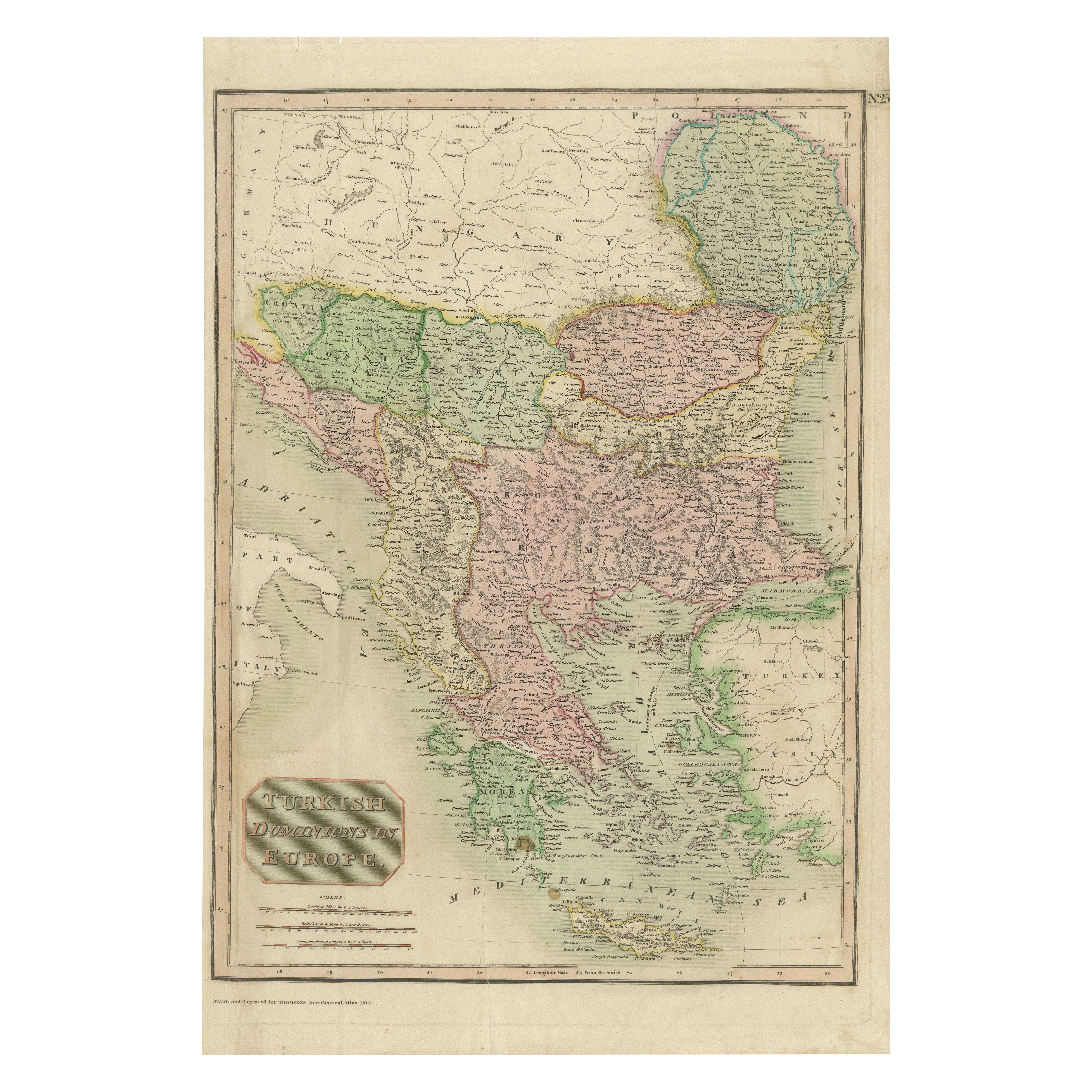
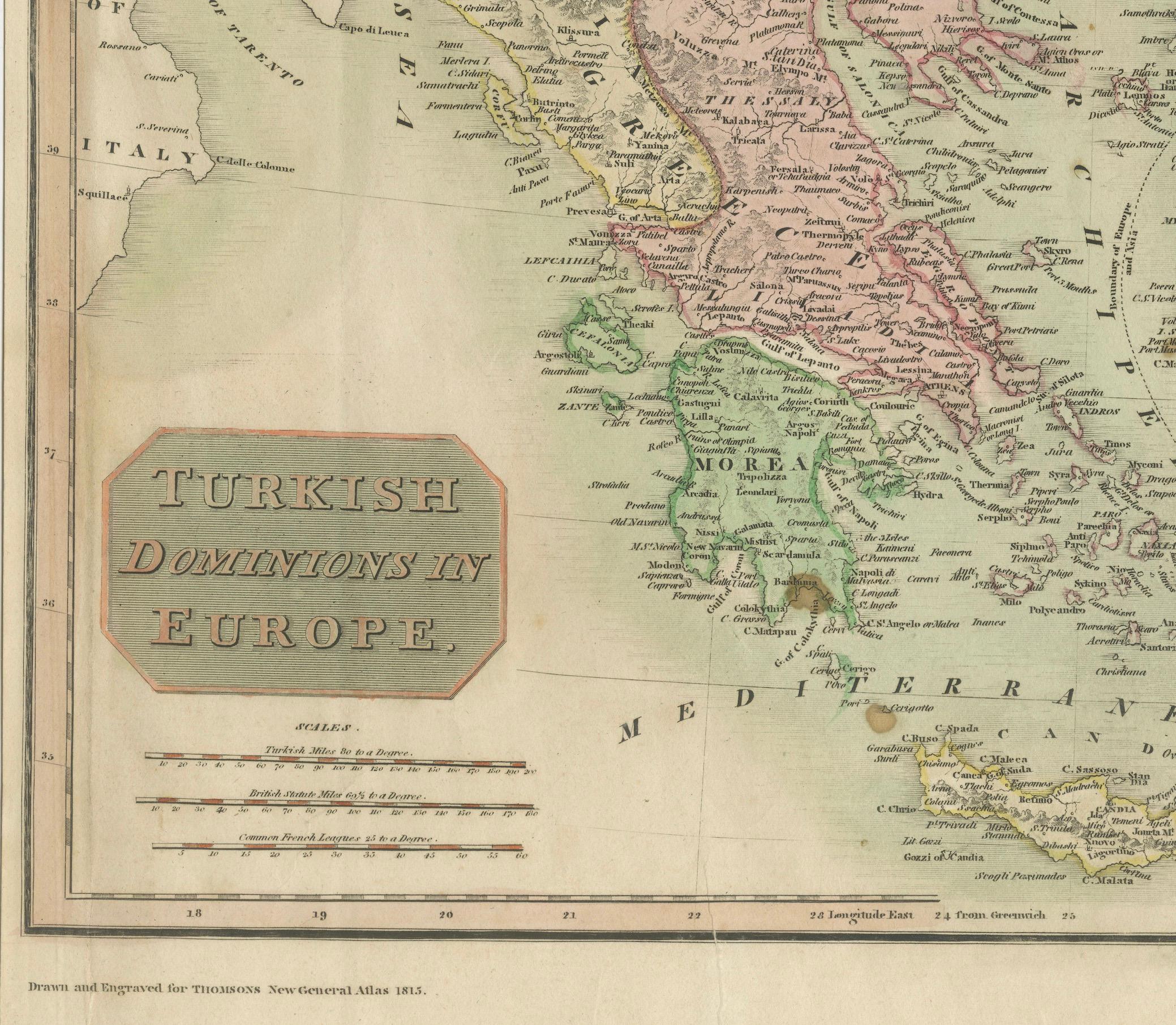
Map of Turkish Dominions in Europe, Ottoman Balkan Territories 1814
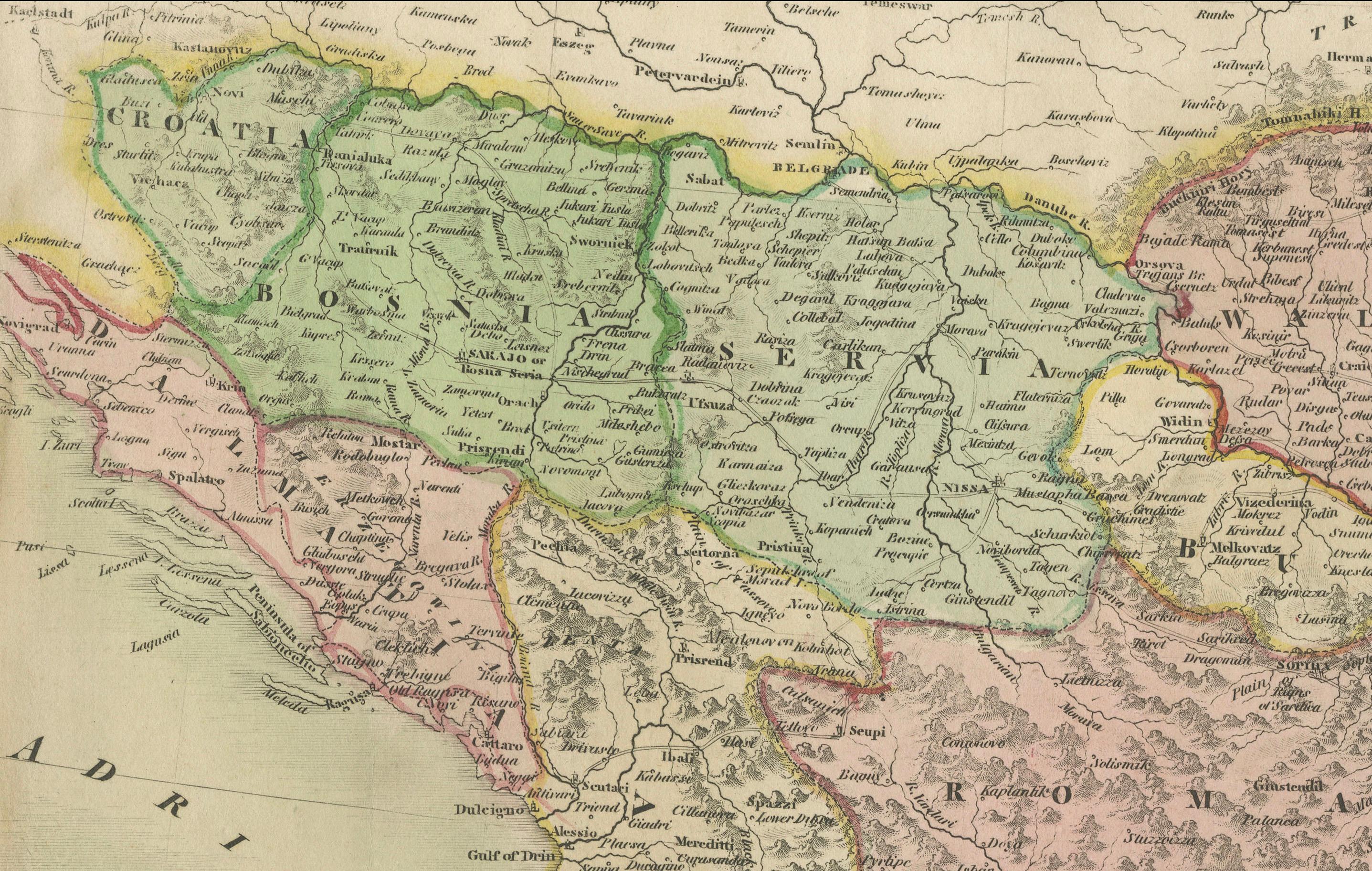
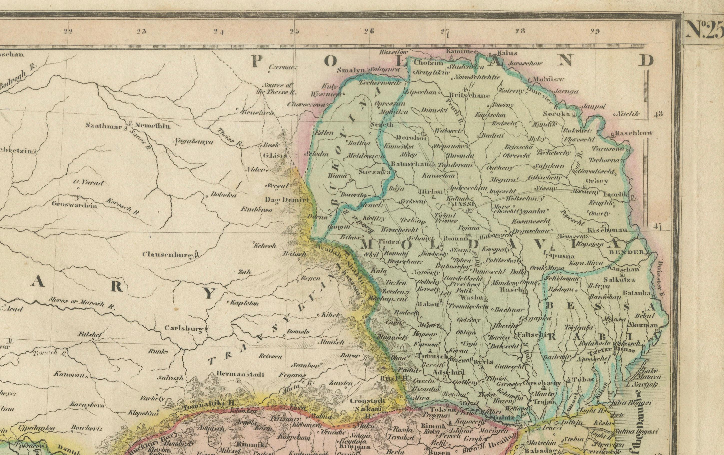
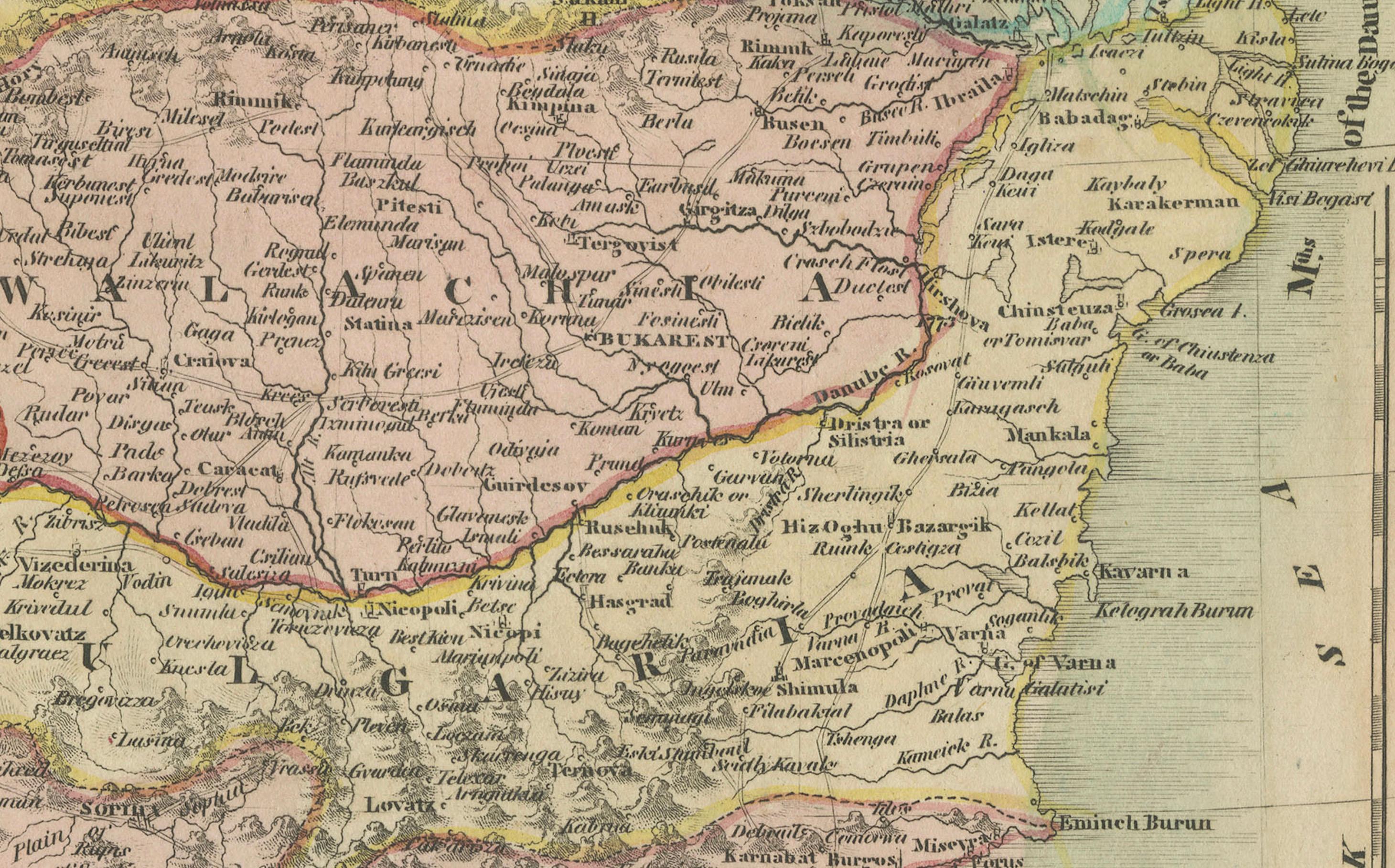
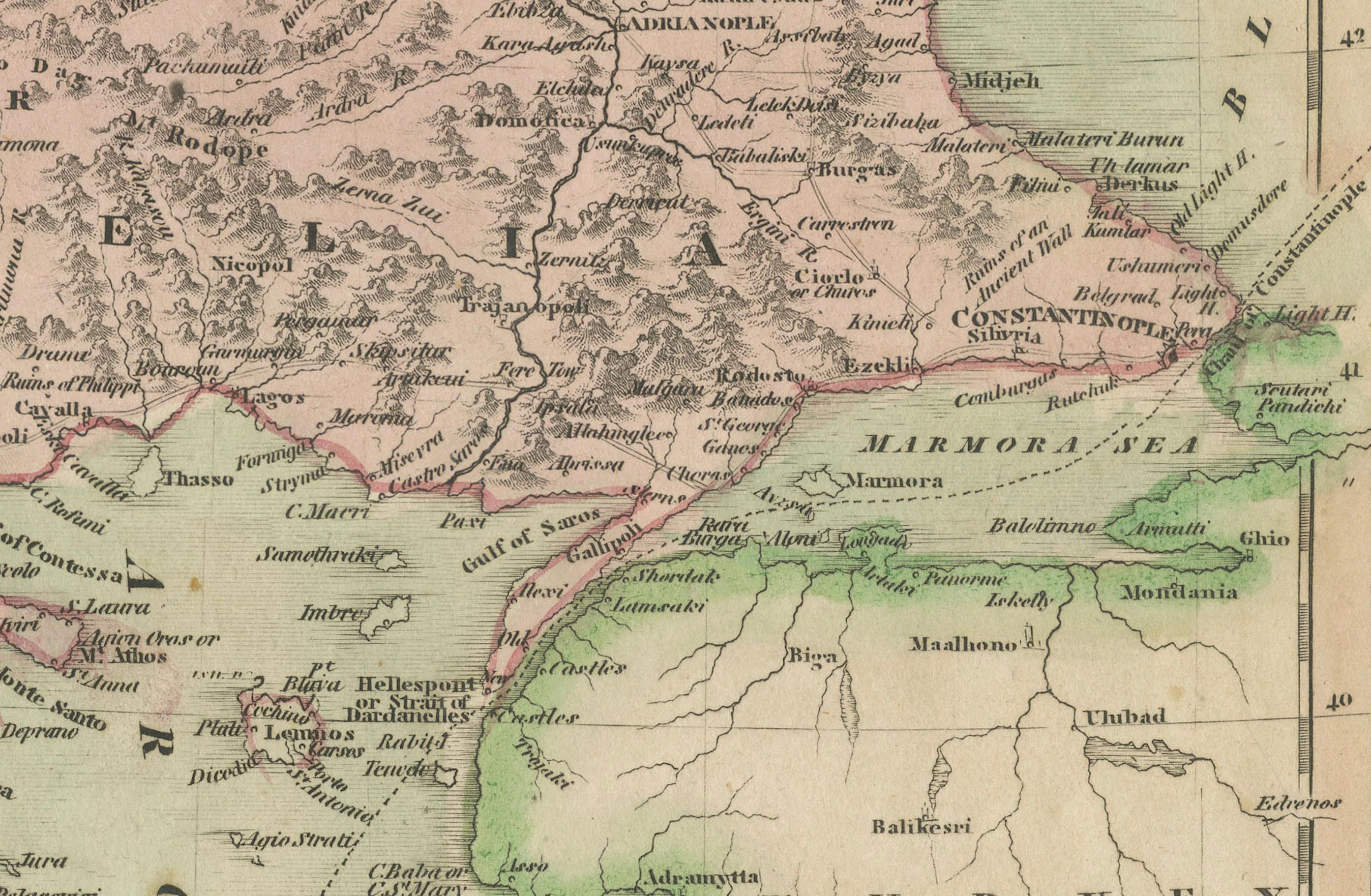
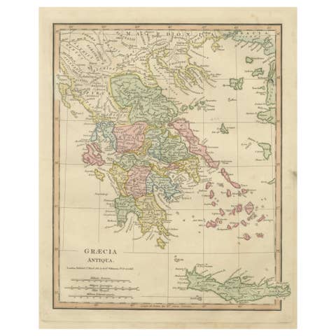
This antique map titled "Turkish Dominions in Europe" provides a detailed depiction of the Balkan Peninsula and adjacent regions during the height of Ottoman influence in southeastern Europe. Published in 1814 as part of James Thomson’s prestigious "New General Atlas," the map was drawn and engraved by the firm of Neele & Sons, one of London’s leading engravers of the period. Thomson’s atlas is renowned for its clarity, large folio format, and the elegant style in which geographic and political features are rendered.
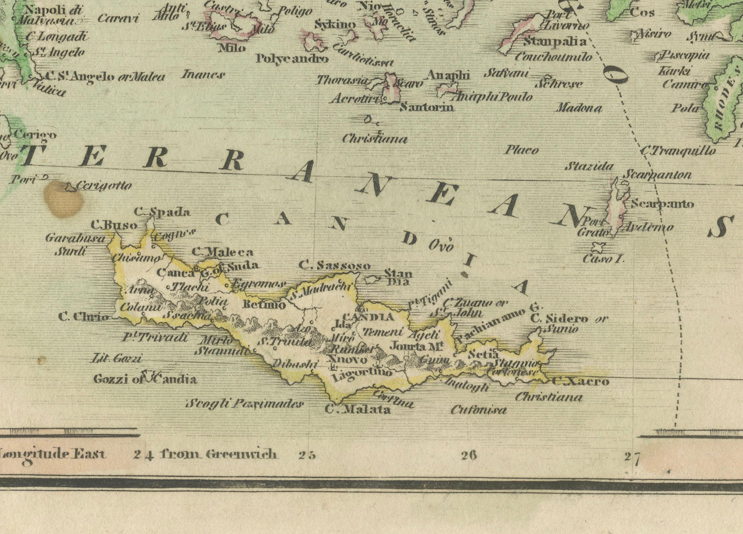
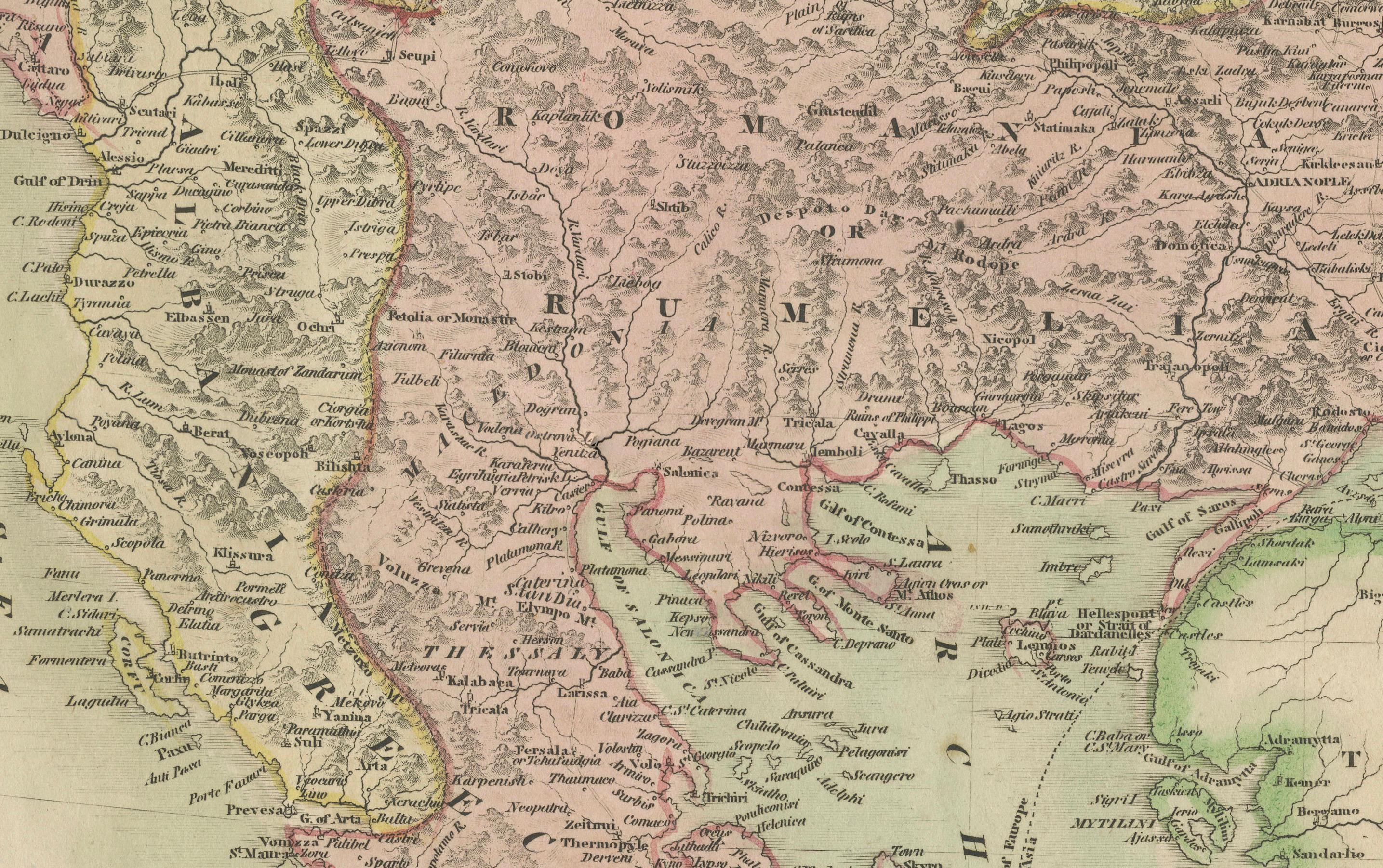
The map covers a wide expanse including the present-day territories of Greece, Albania, Bulgaria, Serbia, Montenegro, Bosnia, North Macedonia, Romania, and parts of Turkey and Croatia. Key regions such as Romania (including Wallachia and Moldavia), Rumelia, the Morea (Peloponnese), and Epirus are carefully outlined in different colors to reflect the administrative divisions under Ottoman governance. Cities of strategic and historical importance, including Constantinople, Athens, Belgrade, and Sarajevo, are clearly marked.
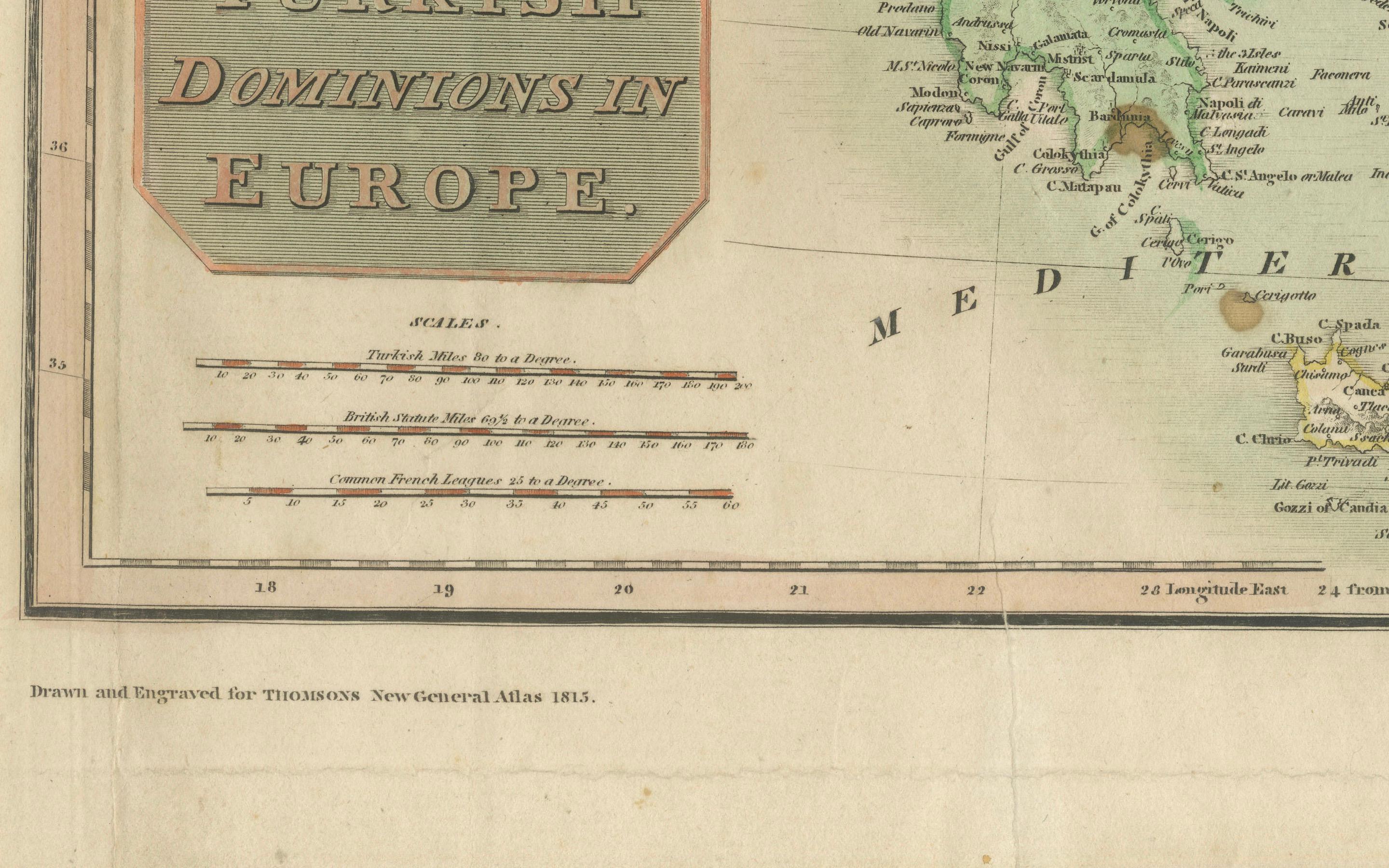
Rivers, mountain ranges, and coastlines are finely engraved, providing a comprehensive geographic context to the political boundaries. The cartouche bearing the title is handsomely styled and placed in the lower left corner, contributing to the visual balance of the composition.
This is a hand-colored copperplate engraving, as was standard for high-quality map production in the early 19th century. The subtle palette, with green, red, and yellow borders, enhances legibility while preserving the scholarly tone of the map. Thomson’s atlas remains one of the most desirable British atlases of the era, combining decorative appeal with geographic precision.
Condition Report:
Original hand-colored copperplate engraving from 1814. Mild age toning and some edge wear consistent with age. Some tears in the borders and minor staining. Colors remain stable. One folding line as issued and left margin is tied. Study the images carefully.
Tips for Framing:
A frame in dark wood, mahogany, or antique gold works well with this piece. Use a neutral or ivory mat to enhance the color tones and maintain a classic, scholarly appearance. UV glass is recommended for protection.