About this sheet
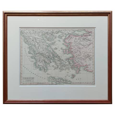
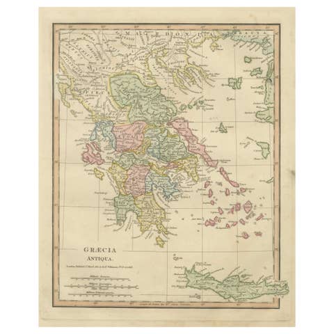
Antique Map of Southern Greece & Aegean – Peloponnese, Islands & Crete, c.1818
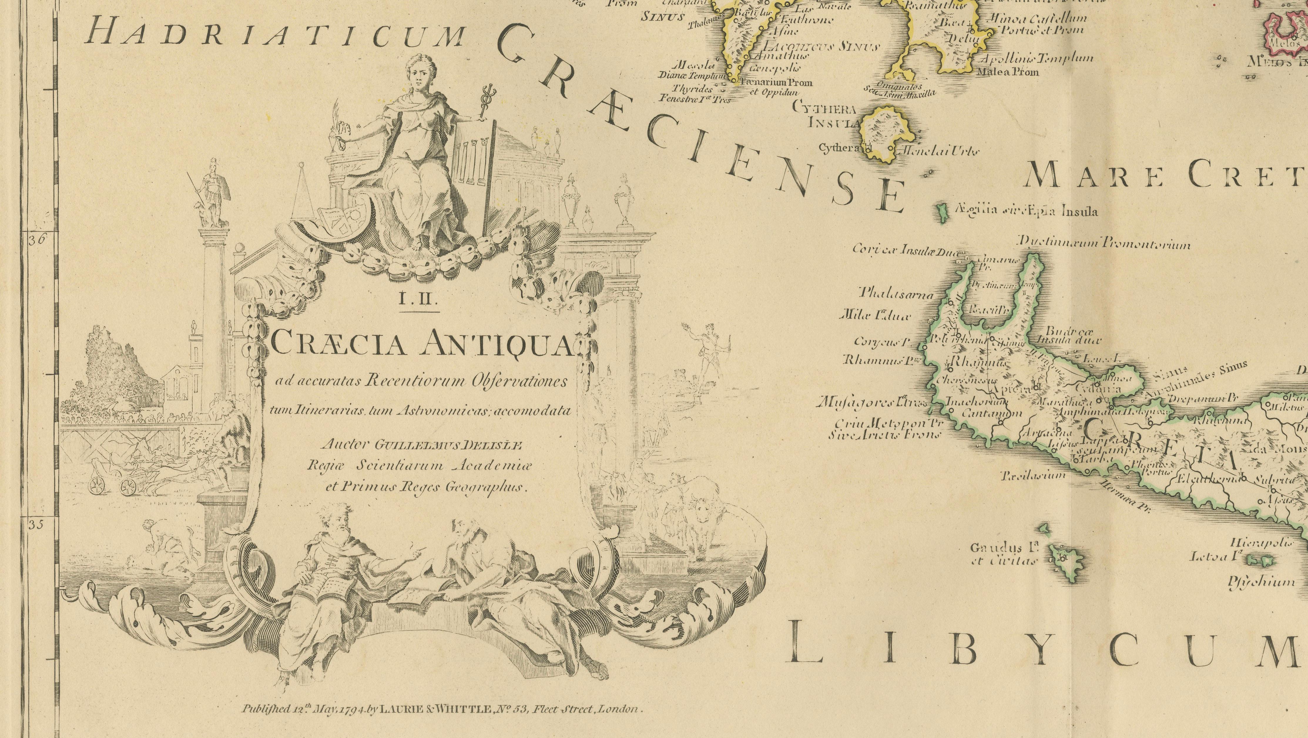
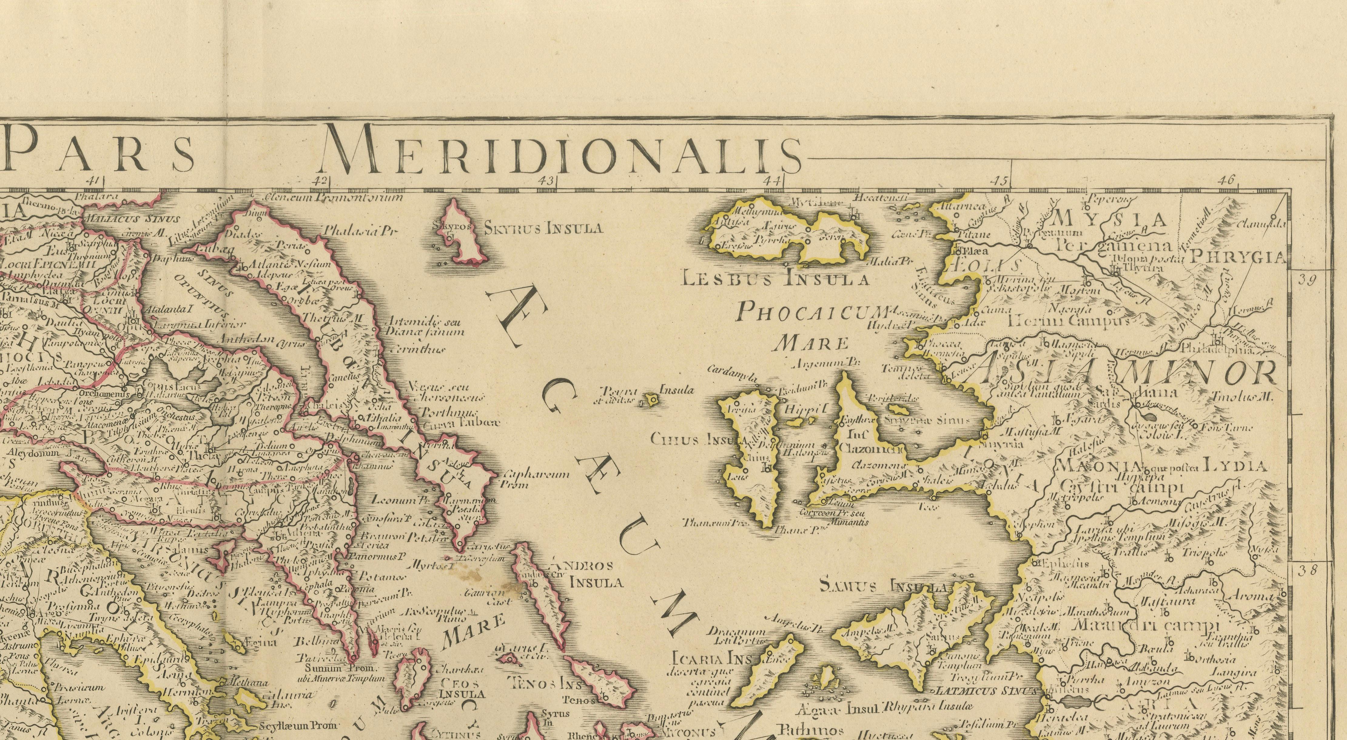
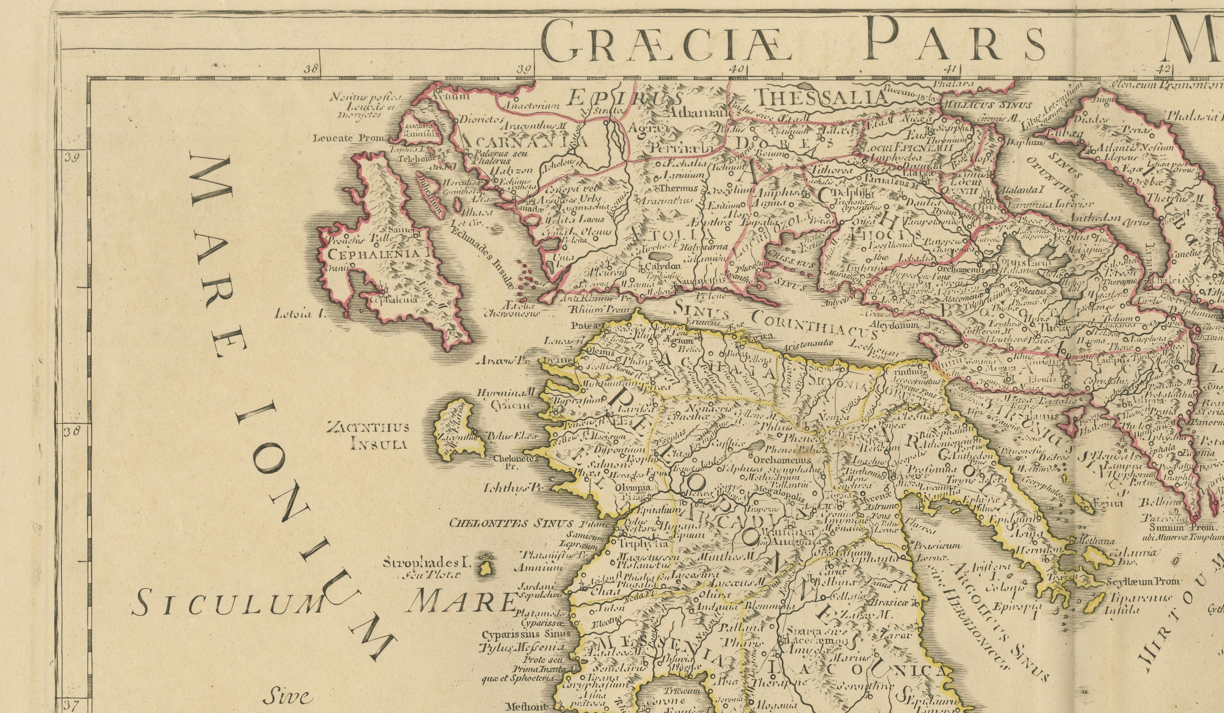
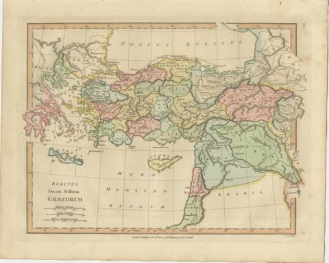
Elegant antique map depicting southern Greece and the Aegean world, covering the Peloponnese, Attica, Boeotia, Euboea, Crete, and the Cyclades, Sporades, and Dodecanese islands. The map presents the Greek world as understood in classical antiquity, with cities, regions, rivers, coastlines, and islands engraved in fine detail and highlighted with subtle original outline color.
The composition is visually rich and expansive, with the fragmented geography of the Aegean Sea creating a rhythmic and highly decorative pattern across the sheet. The balance between mainland Greece and the surrounding islands gives the map strong visual movement while retaining the calm, architectural clarity characteristic of d’Anville’s work.
The map is based on the work of Jean-Baptiste Bourguignon d’Anville, whose reconstructions of the ancient world set the standard for Enlightenment historical cartography. Through critical study of classical sources rather than decorative tradition, d’Anville produced maps prized for accuracy, proportion, and enduring scholarly authority.
This example is the English edition published in London by Laurie & Whittle, issued circa 1818 and bound in the atlas A Complete Body of Ancient Geography. Produced during the neoclassical period, the restrained engraving and soft parchment palette align naturally with refined modern interiors.
The neutral tones, crisp line work, and wide horizontal format make this map particularly effective as wall art in libraries, studies, hallways, and hospitality interiors. It pairs beautifully with the companion Northern Greece sheet to form a complete and visually balanced presentation of the ancient Greek world.
A timeless and highly decorative representation of classical southern Greece and the Aegean, combining intellectual depth with strong interior presence.
Condition report:
Good antique condition with light, even toning and gentle age-related wear consistent with age. Original outline color remains clear and balanced. Central fold as issued. No major tears, losses, or repairs observed.
Framing tips:
Best presented in a dark walnut, blackened oak, or ebonized frame with a wide ivory or soft parchment mat. Museum or UV glass recommended. Especially striking when framed as a matched pair with the Northern Greece map.