About this sheet
Greece & Ionian Islands Map, Antique Hand-Colored Map, 1860
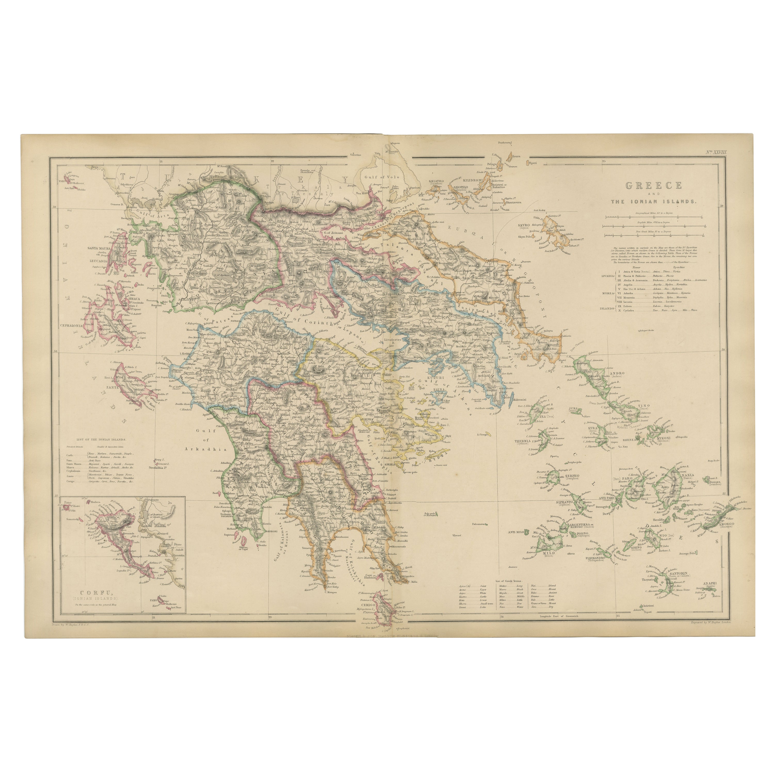
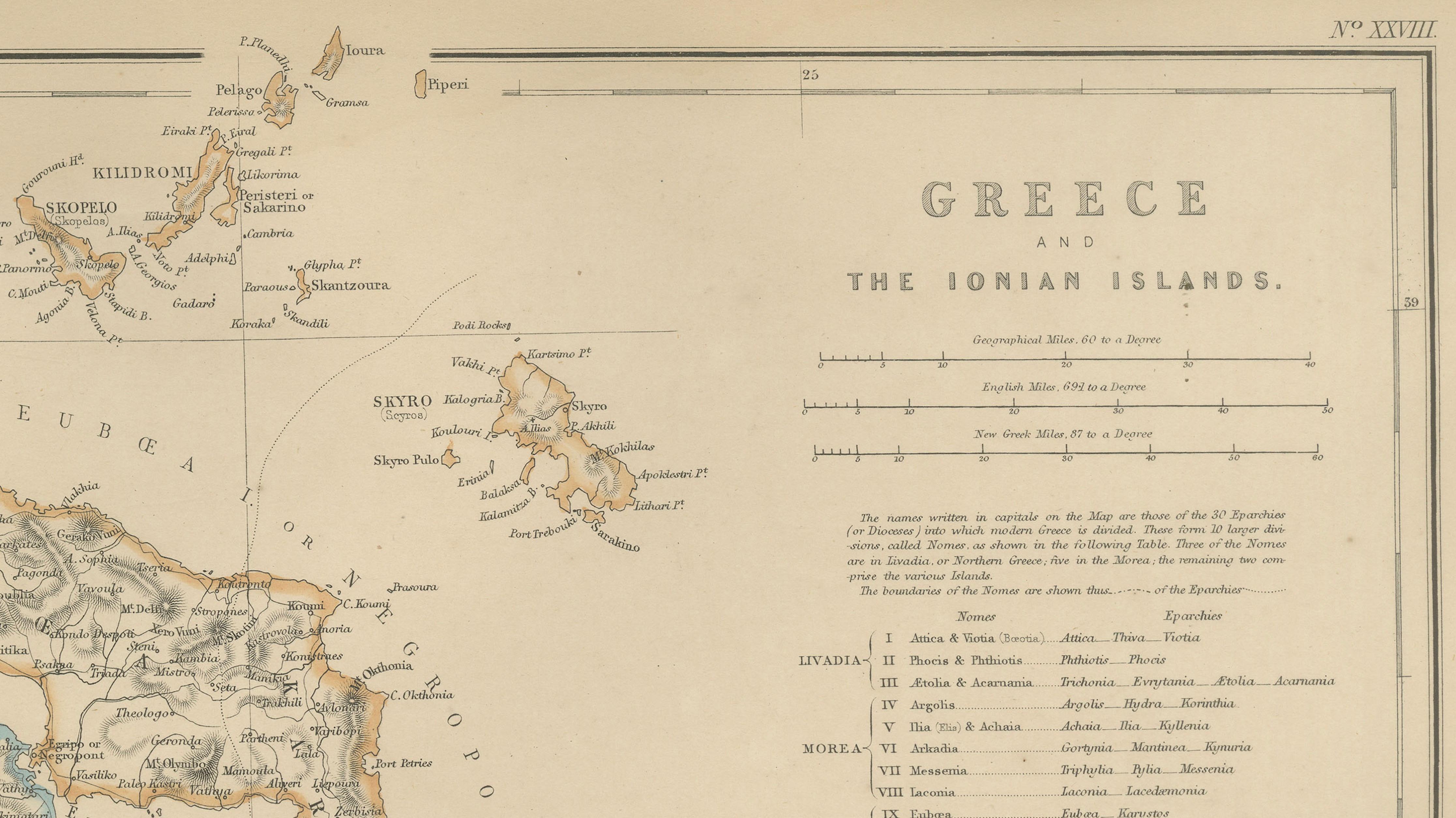
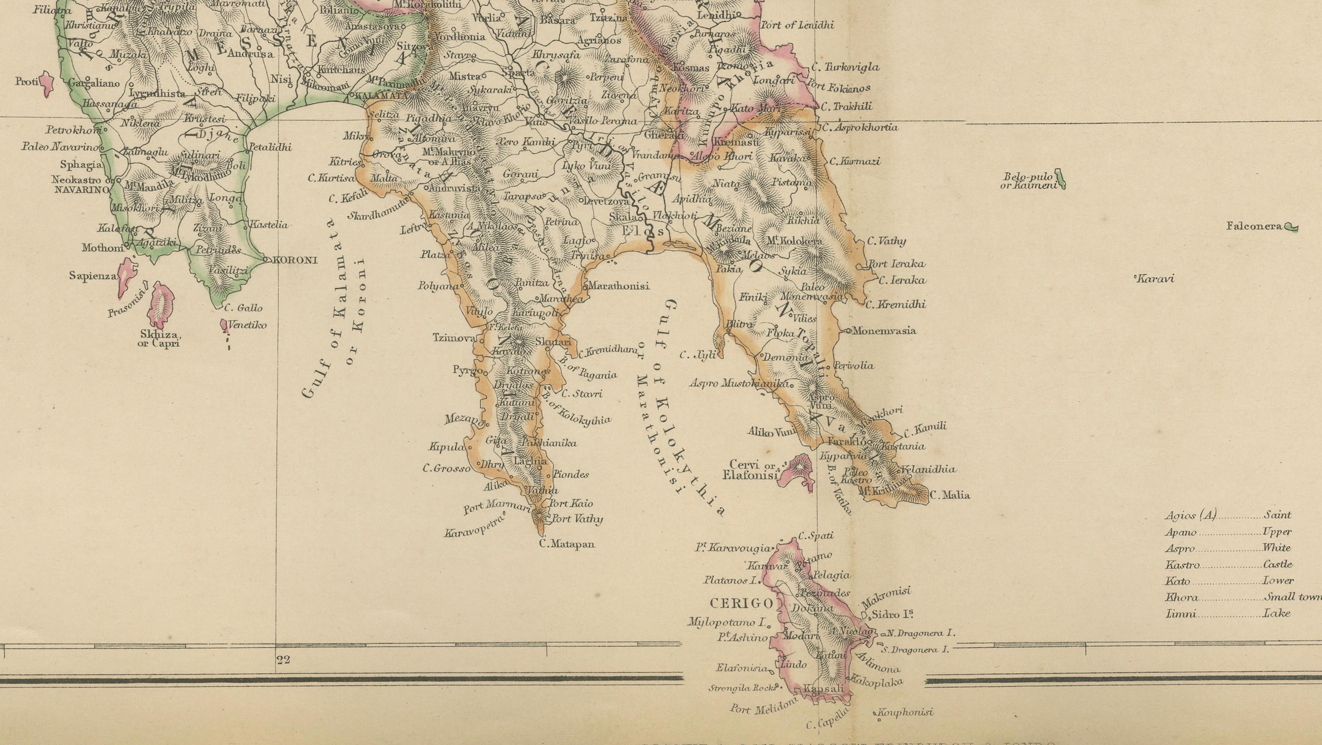
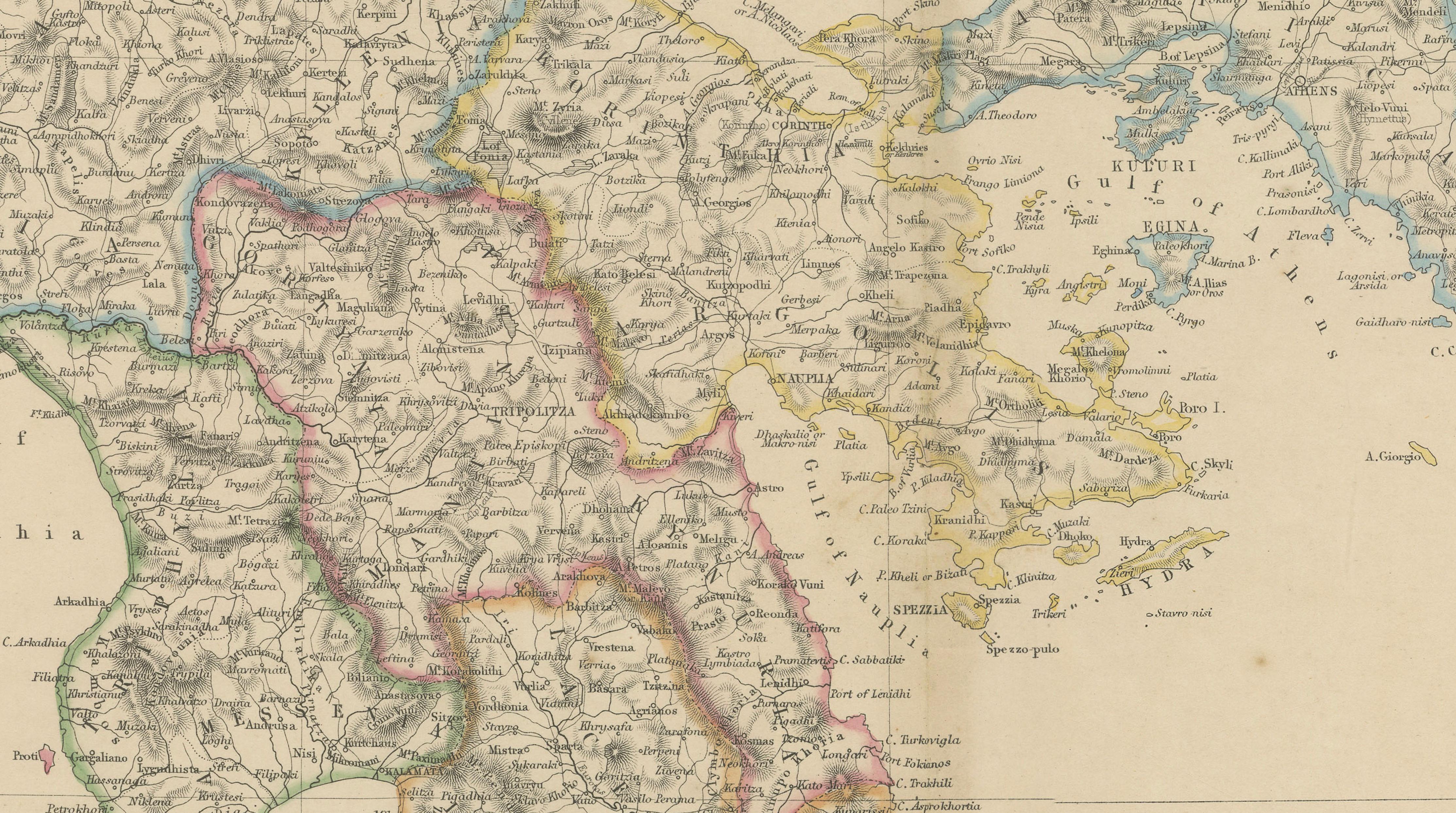
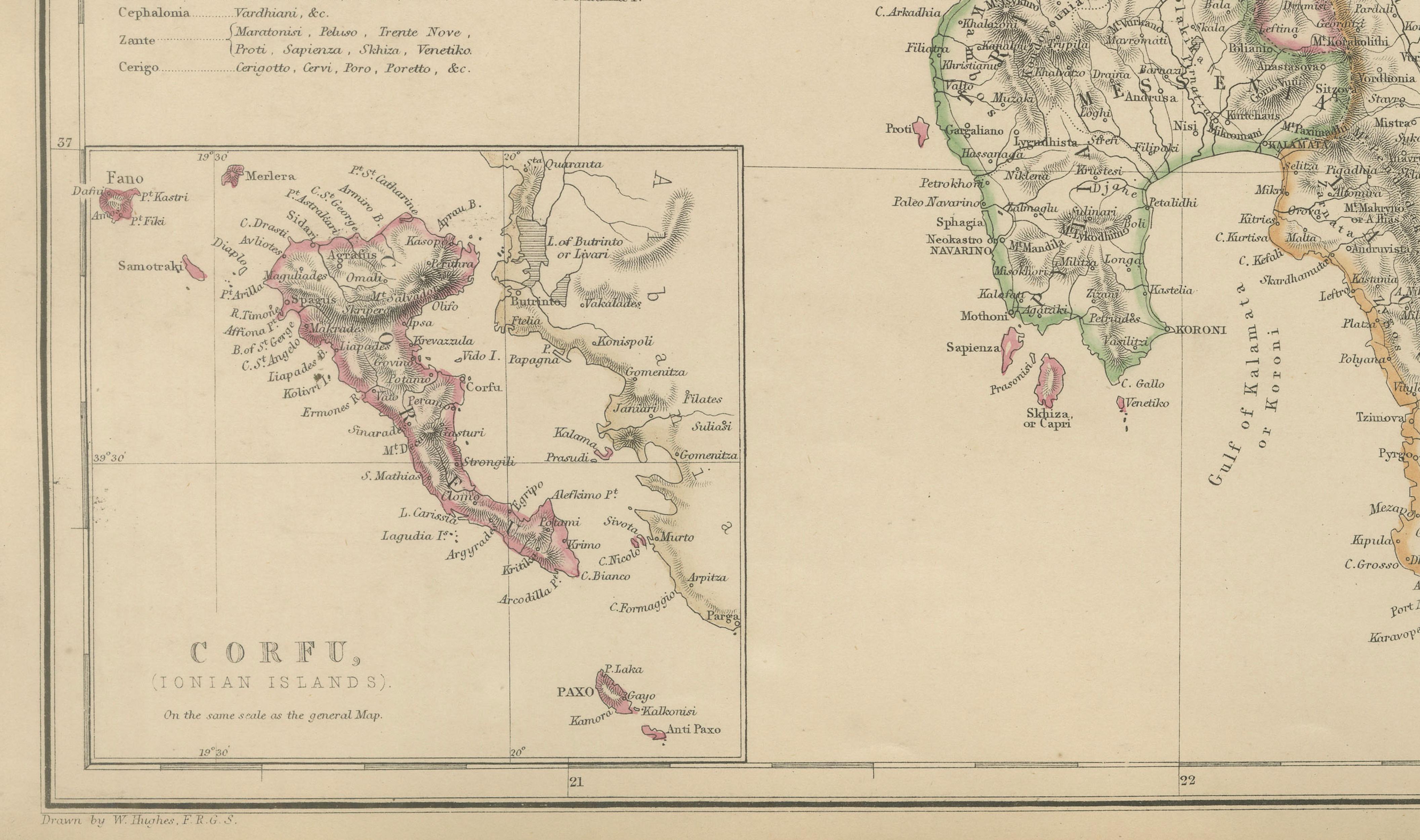
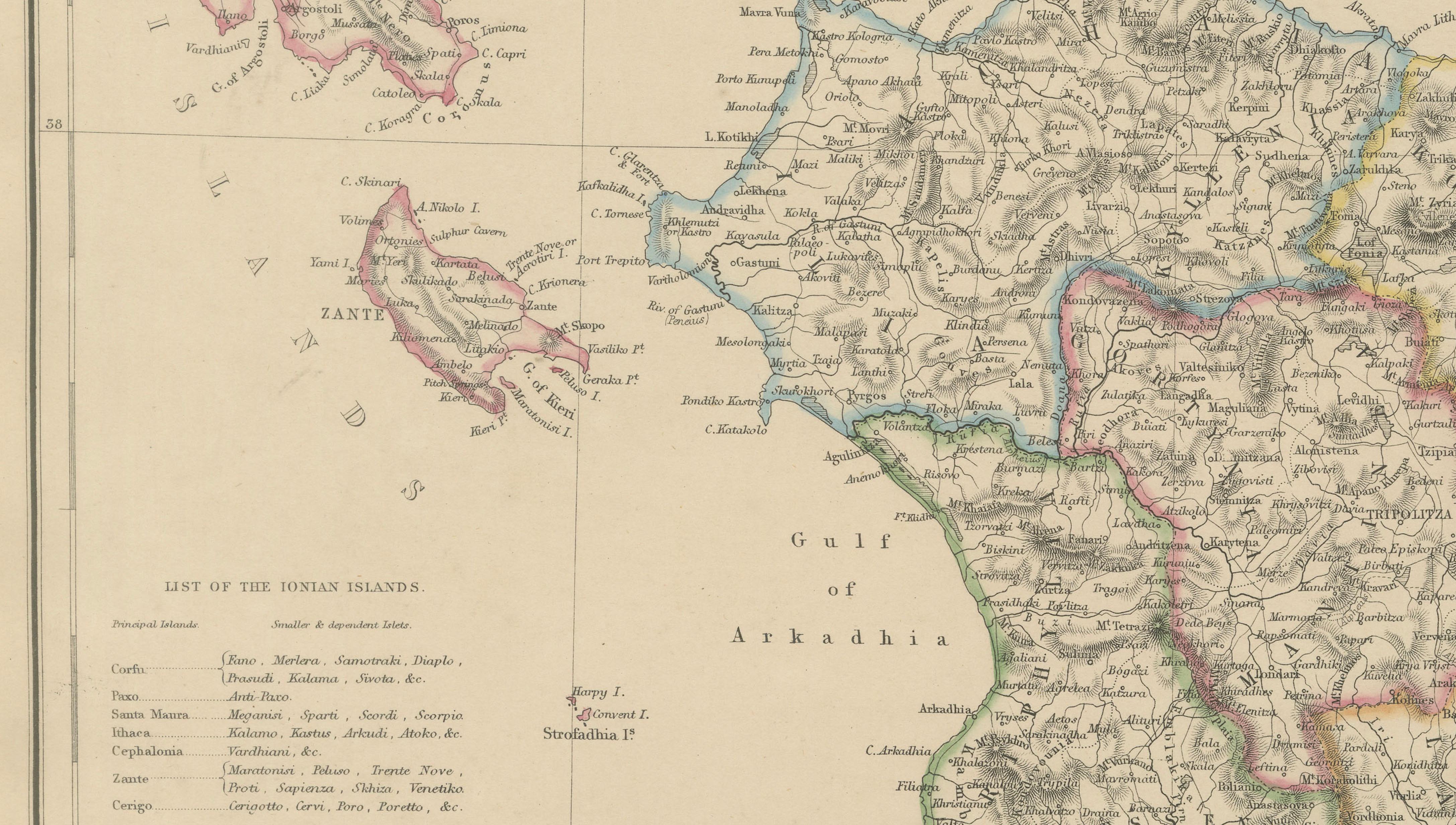
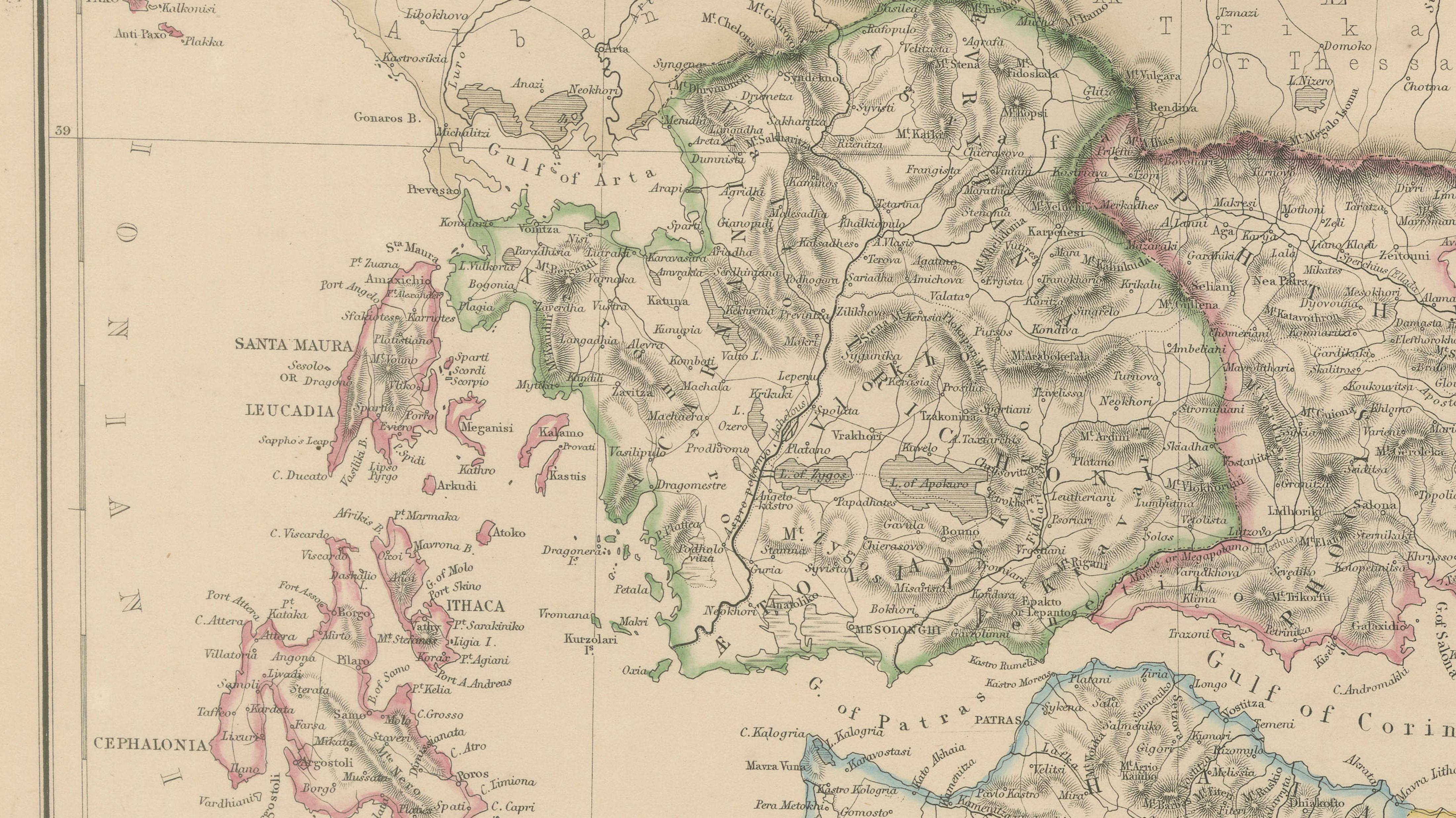
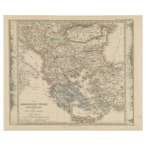
This elegant antique map depicts Greece together with the Ionian Islands, presenting the country’s political and geographical structure in the mid-19th century. Published in 1860 by W. G. Blackie & Son for The Imperial Atlas of Modern Geography, it reflects a formative period in modern Greek history, several decades after independence from Ottoman rule.
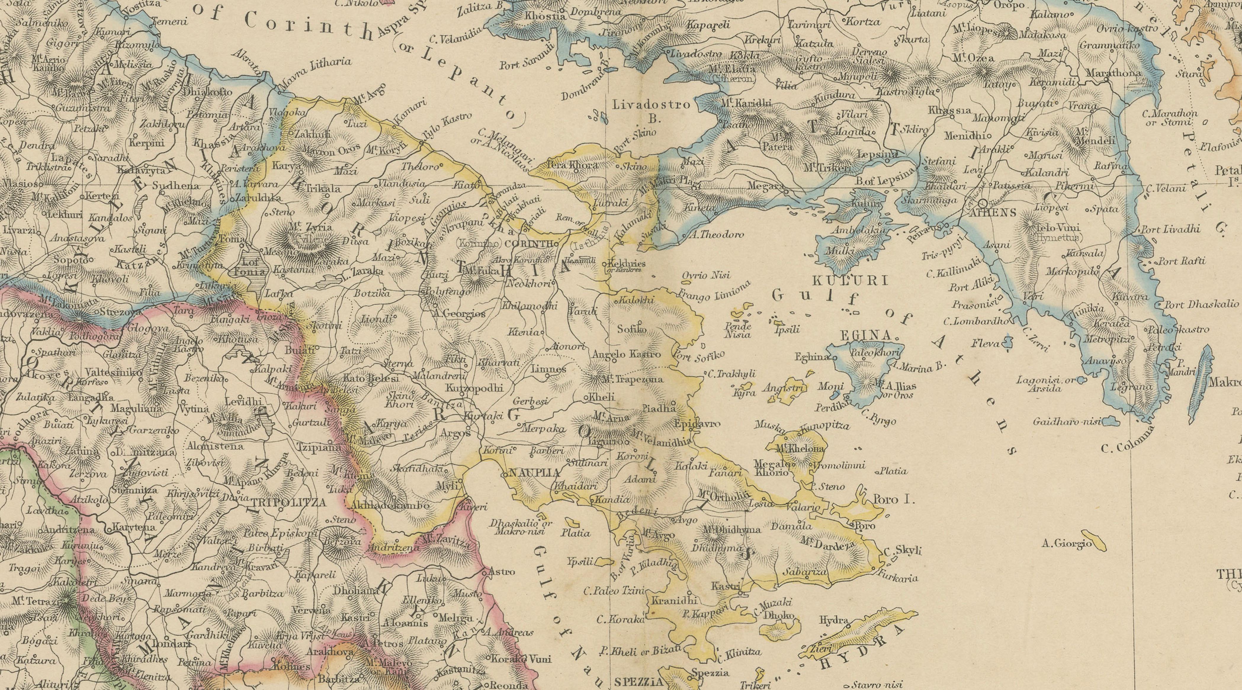
The map shows mainland Greece in detail, including regions such as Epirus, Thessaly, Attica, Boeotia, Arcadia, Laconia, and Messenia, with borders carefully hand-colored to distinguish administrative divisions. The Peloponnese is clearly defined, as are key gulfs including the Gulf of Corinth, Gulf of Patras, and Gulf of Aegina. Athens, Thebes, Patras, Corinth, Sparta, Argos, and Tripoli are prominently marked, alongside a dense network of towns and routes.
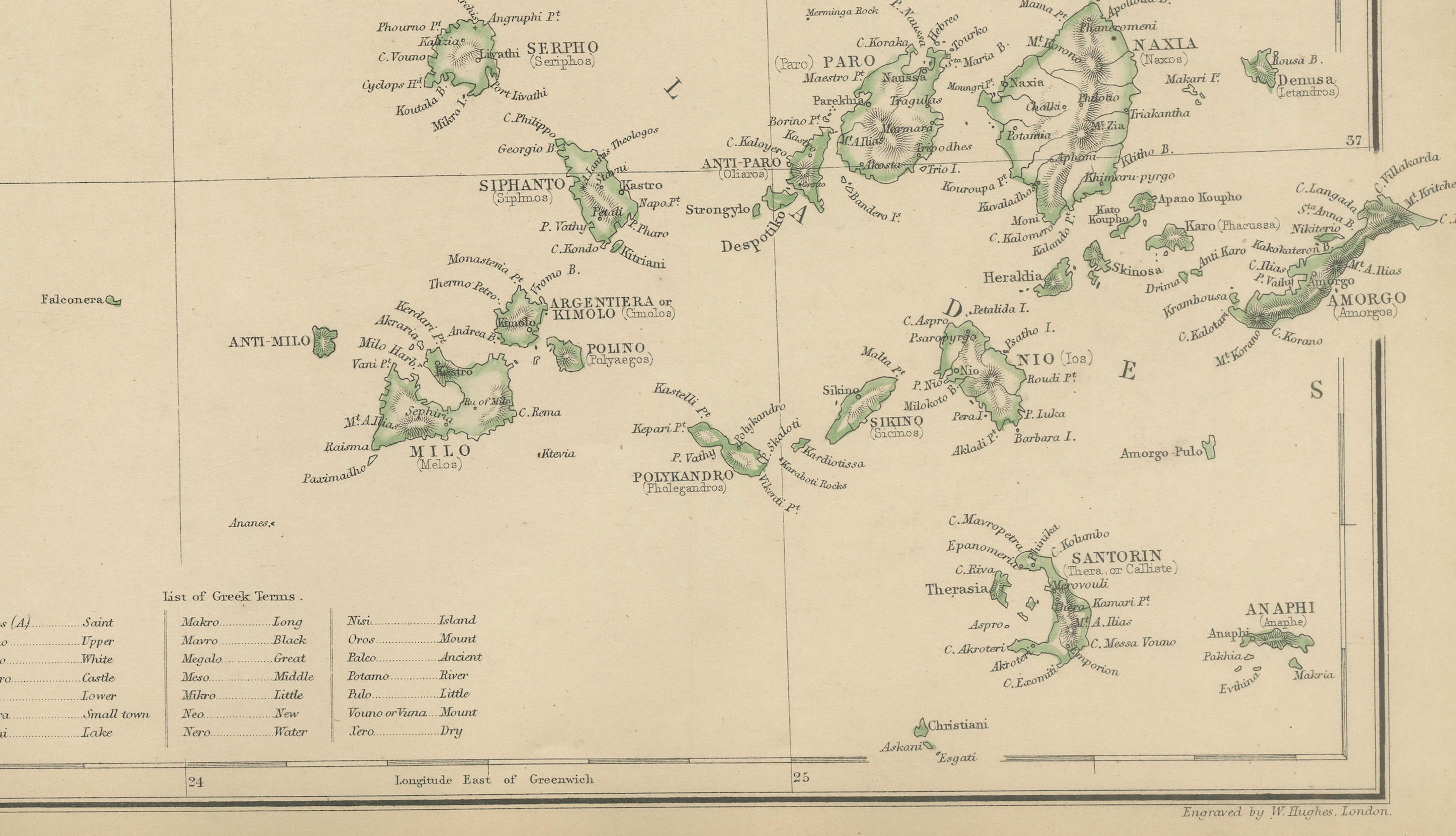
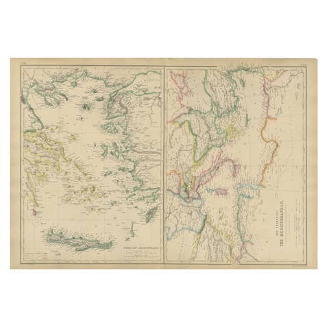
To the west, the Ionian Islands—Corfu, Cephalonia, Zante (Zakynthos), Lefkada, Ithaca, and Paxos—are shown separately, emphasizing their distinct political status during the period. To the east and south, extensive insets illustrate the Cyclades, Sporades, and other Aegean island groups, underscoring Greece’s maritime geography and strategic position in the eastern Mediterranean.
Relief is rendered through fine engraved shading, conveying the mountainous terrain of mainland Greece, including Pindus and Taygetus, while coastlines and islands are crisply engraved. The combination of political clarity and refined engraving makes this map both an important historical document and a highly decorative wall piece.
Condition report:
Good antique condition. Light overall age toning with minor scattered foxing, mainly confined to the margins. Original fold lines as issued. Plate mark visible.
Framing tips:
An antique gilt, dark walnut, or black frame with a wide ivory or parchment-toned mat will complement the hand coloring and suit both classical and contemporary interiors.
Technique: Copper engraving with original hand coloring
Maker: W. G. Blackie & Son, Glasgow, Edinburgh & London, 1860
Keywords:
Greece map, Ionian Islands map, antique Greece map, 1860 map, classical Greece, modern Greece history, Peloponnese map, Attica map, Epirus map, Thessaly map, Arcadia, Laconia, Boeotia, Athens map, Corinth map, Sparta map, Patras, Thebes, Tripoli Greece, Greek islands map, Ionian Sea, Corfu map, Cephalonia, Zakynthos Zante, Lefkada, Ithaca, Aegean Sea, Cyclades map, Sporades map, Santorini, Naxos, Paros, Syros, Mykonos, Crete inset, Mediterranean Sea, Gulf of Corinth, Gulf of Patras, Balkan history, post Ottoman Greece, 19th century cartography, Victorian atlas map, Imperial Atlas, W G Blackie, Blackie and Son, British cartography, hand colored map, copper engraved map, political boundaries, historical geography, antique wall map, library decor, collector map, decorative antique map
IONIAN ISLANDS ONLY (historical + modern names):
Corfu, Paxos, Antipaxos, Lefkada (Santa Maura), Meganisi, Kalamos, Kastos, Cephalonia (Kefalonia), Ithaca, Zakynthos (Zante), Strofades, Erikoussa, Mathraki, Othonoi
OTHER GREEK ISLANDS SHOWN (Aegean & Mediterranean):
Euboea (Negropont), Skyros, Skopelos, Alonissos, Skiathos, Andros, Tinos, Mykonos, Delos, Syros, Paros, Naxos, Antiparos, Ios, Santorini (Thera), Anafi, Amorgos, Kea (Ceos), Kythnos, Serifos, Sifnos, Milos, Kimolos, Folegandros, Sikinos, Lemnos, Imbros (Gökçeada), Samothrace, Thasos, Lesbos (Mytilene), Chios (Scio), Psara, Samos, Ikaria, Rhodes, Kos, Kalymnos, Leros, Patmos, Astypalaia, Karpathos, Kasos, Symi, Nisyros, Tilos, Crete (Candia), Gavdos, Dia, Kythira (Cerigo), Antikythera