About this sheet
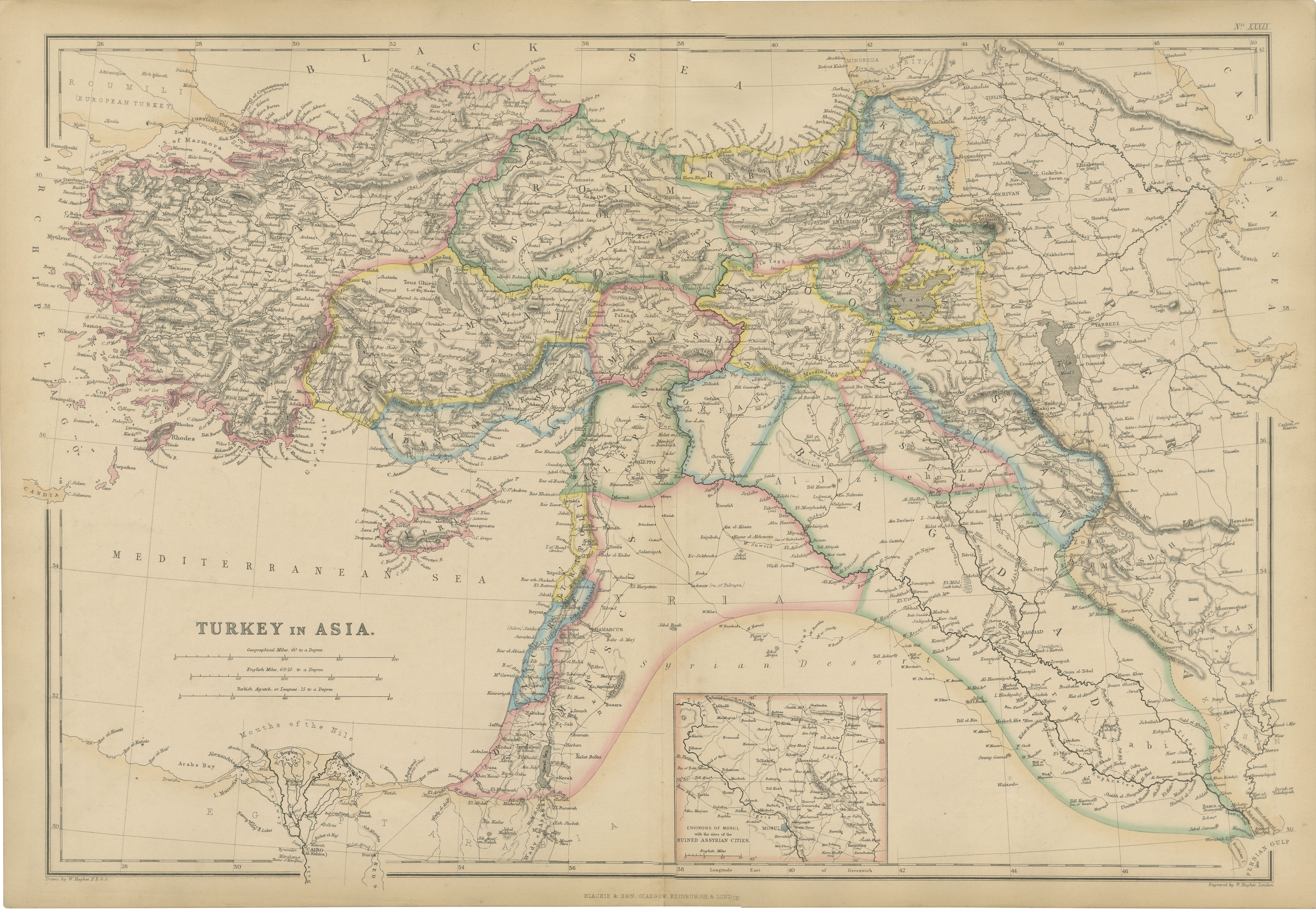
Original Antique Map of Turkey in Asia, Ottoman Empire & Middle East c.1860
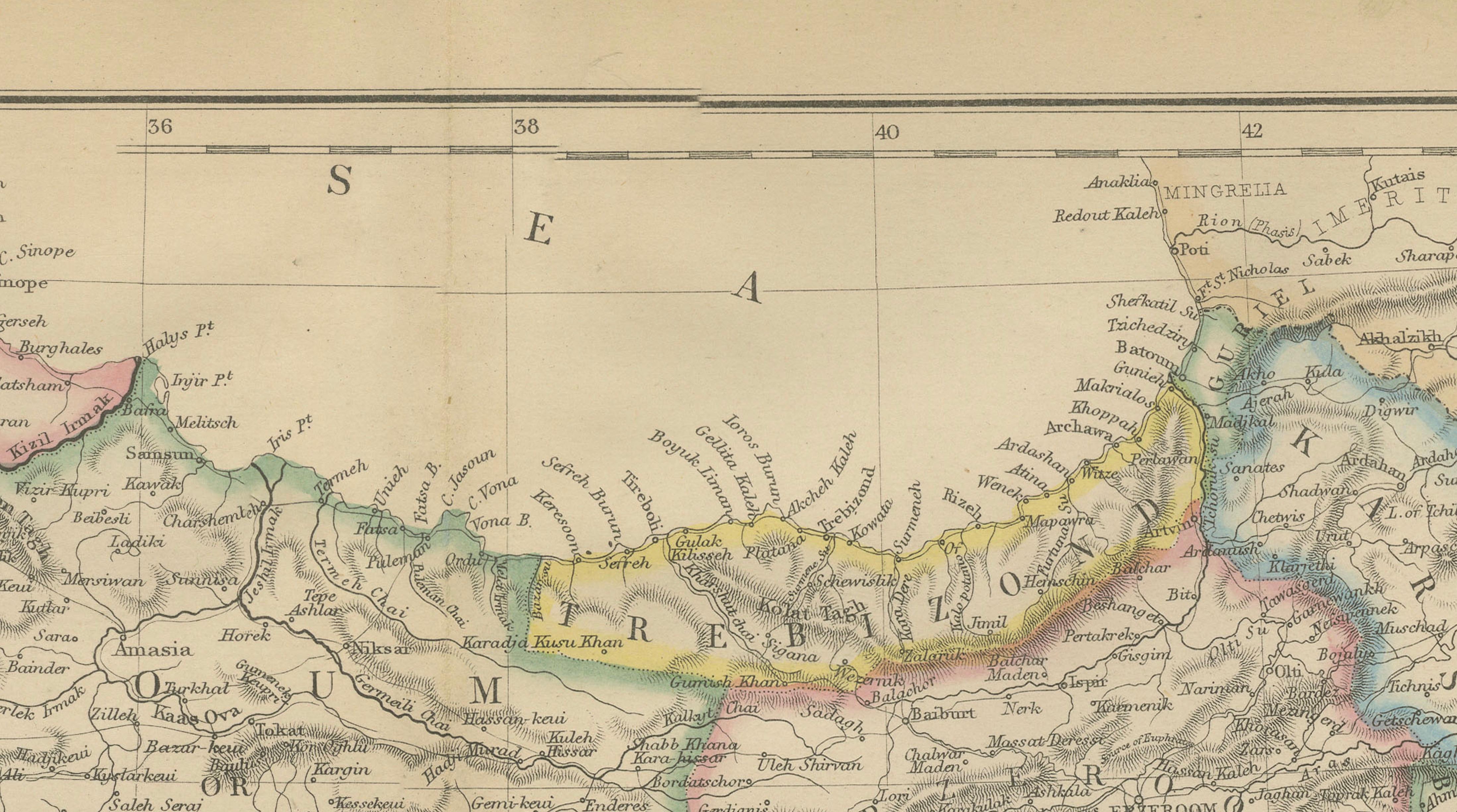
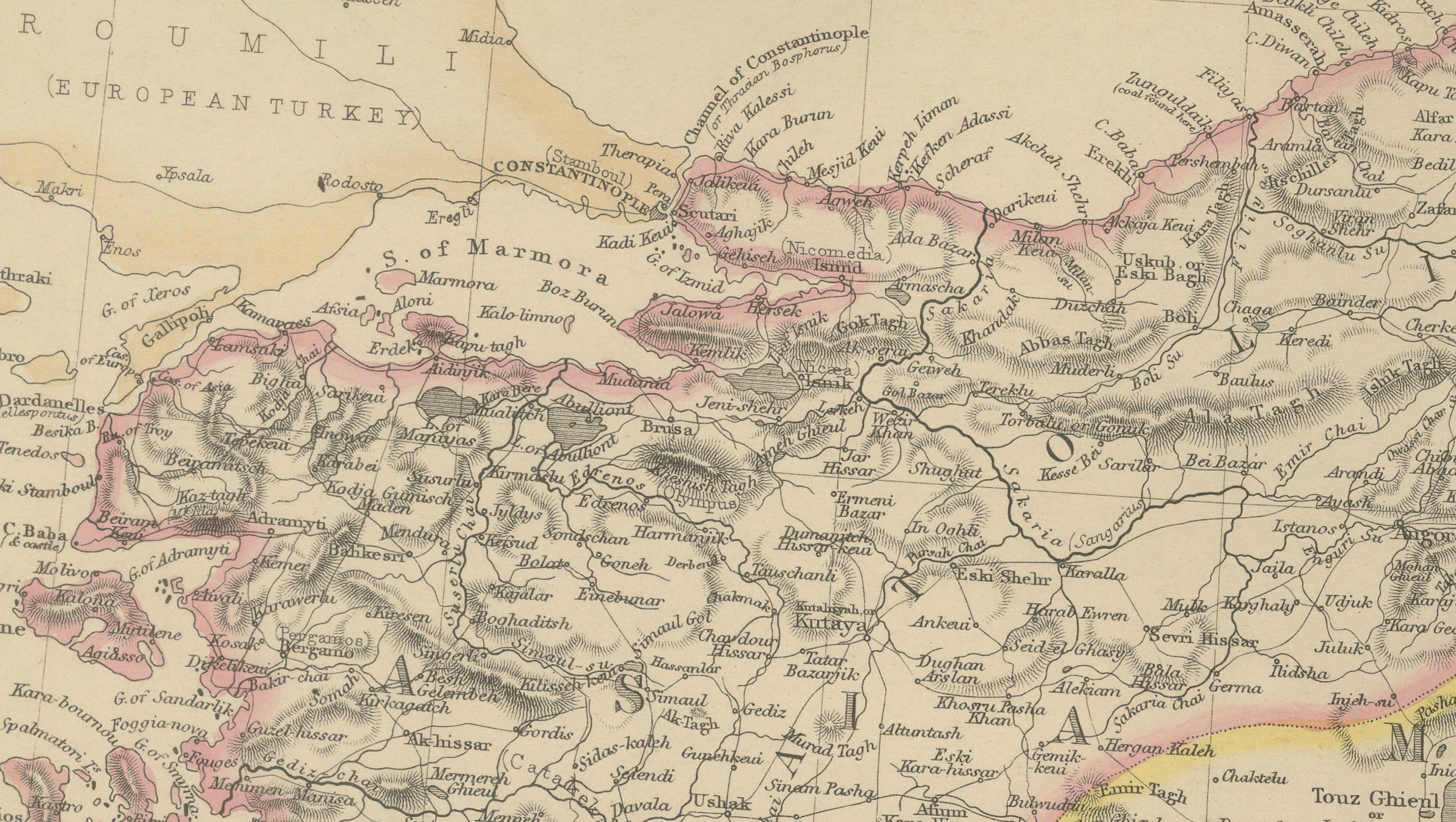
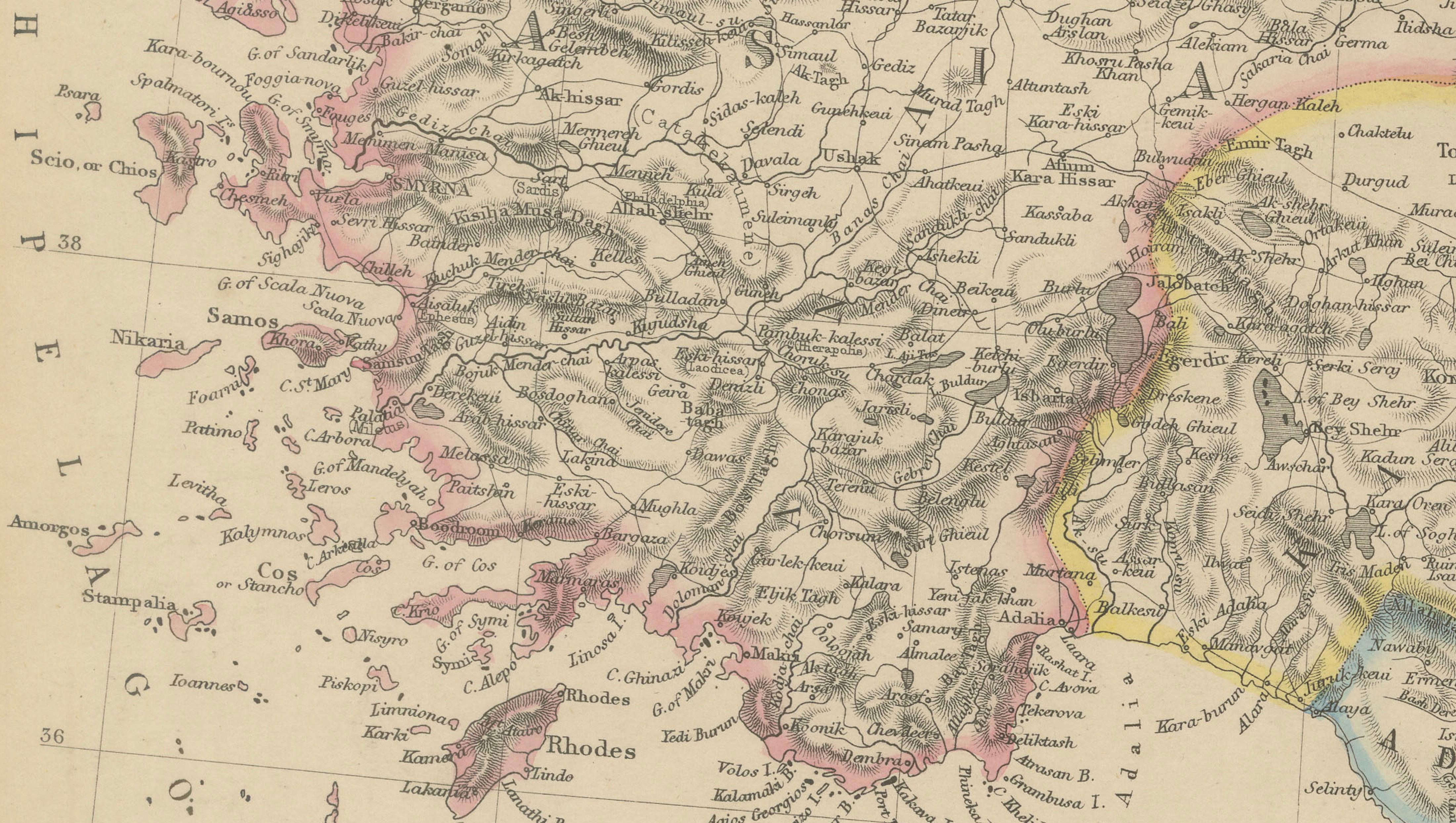
This impressive original antique map depicts the vast territories historically known as "Turkey in Asia," published by the renowned Scottish firm Blackie & Son around 1860. Covering much of the Ottoman Empire's Asian possessions, the map extends from Asia Minor (Anatolia) across Armenia and Mesopotamia to Syria, Palestine, Arabia, and the Persian Gulf, presenting a fascinating snapshot of the Middle East during the mid-nineteenth century.
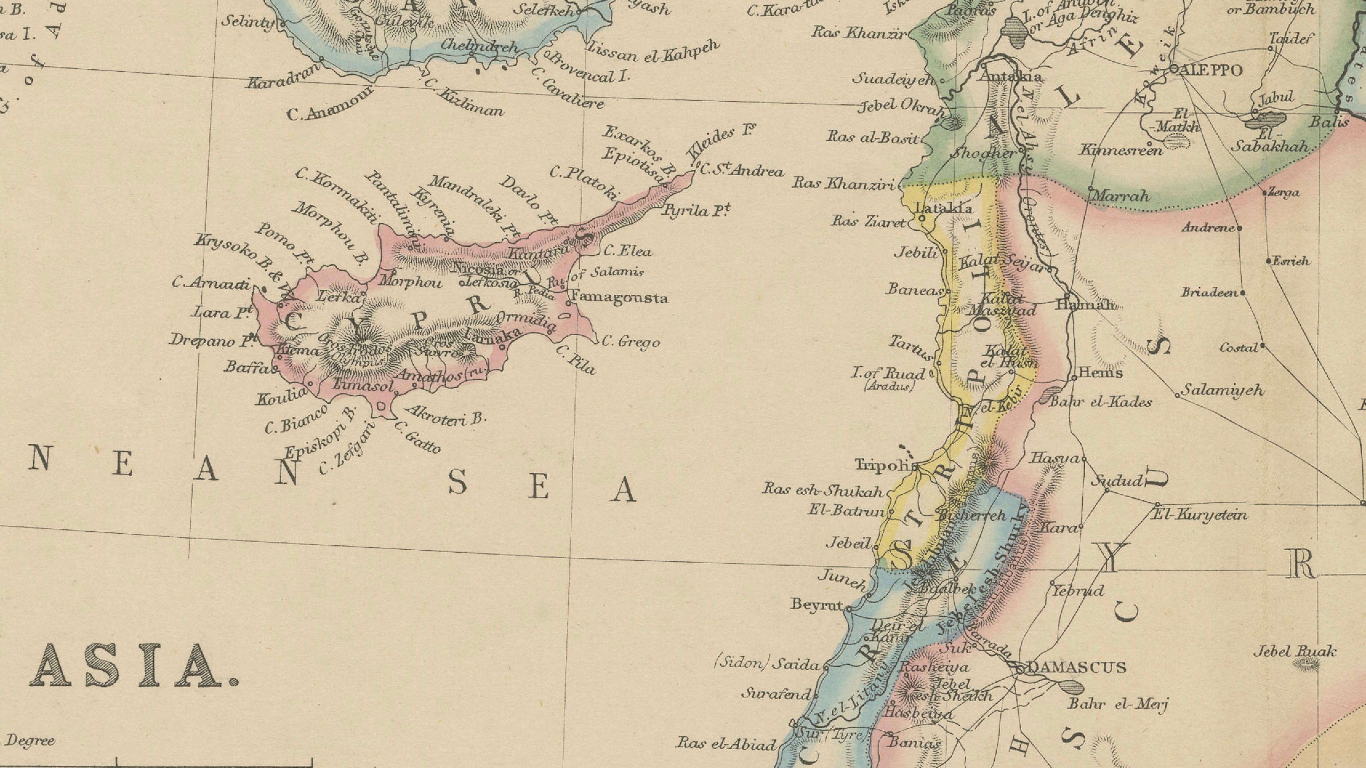
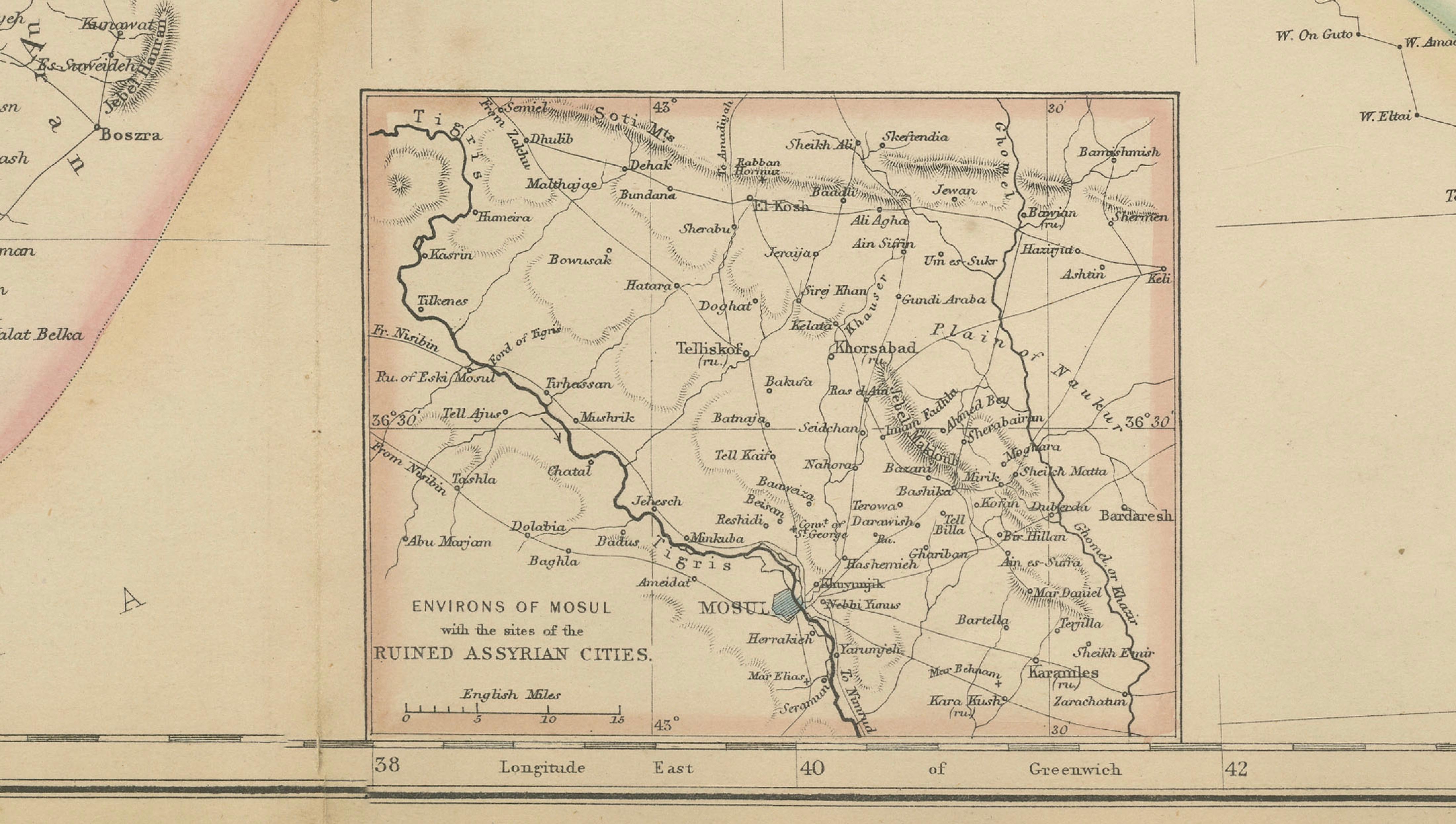
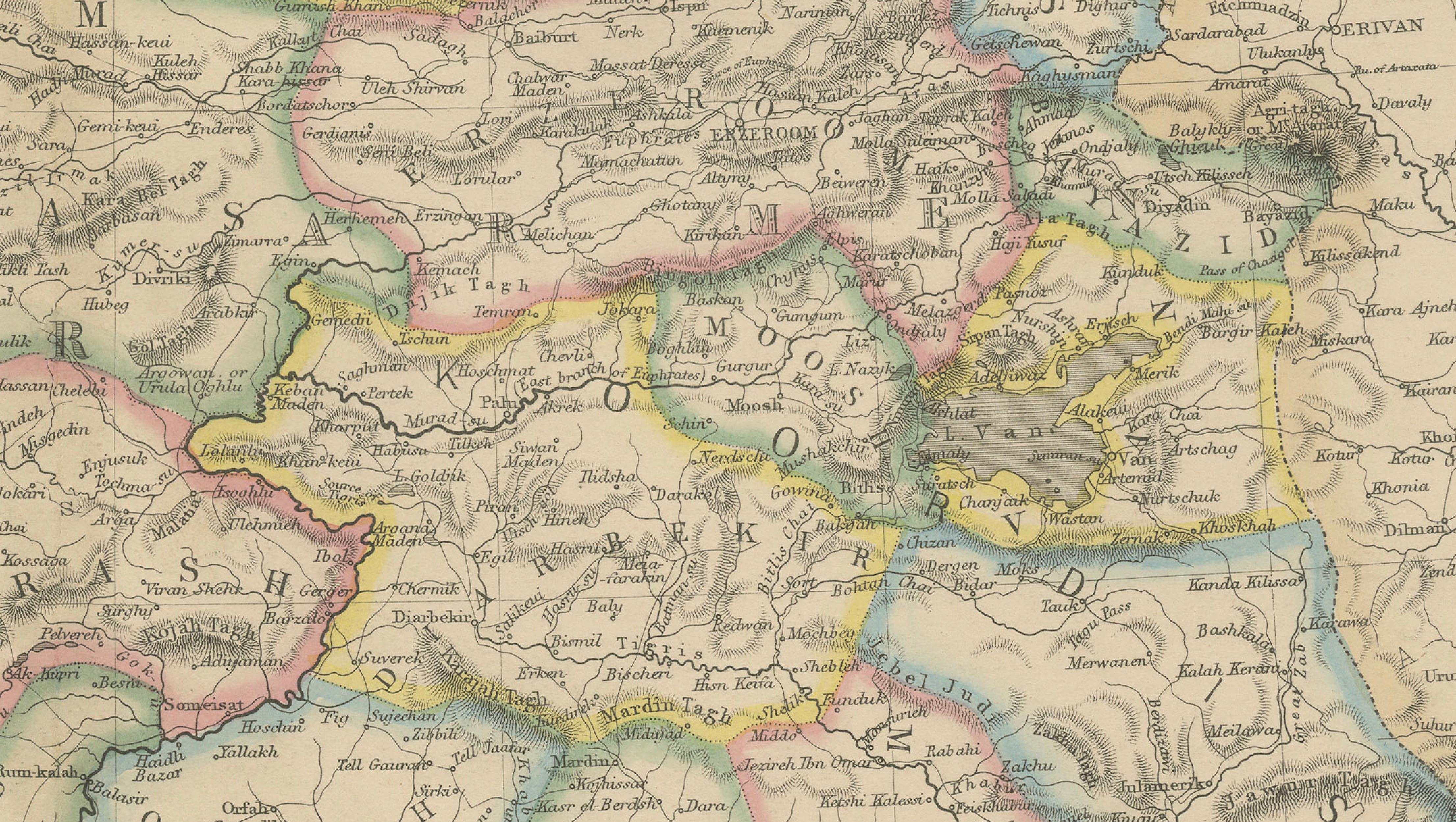
Finely engraved and enhanced with original outline hand color, the map clearly delineates provincial and regional boundaries while showing an extraordinary level of geographic detail. Hundreds of towns, cities, rivers, mountain ranges, caravan routes, and administrative districts are carefully recorded. Major historical locations such as Constantinople's Asian hinterland, Smyrna, Trebizond, Aleppo, Damascus, Jerusalem, Baghdad, Mosul, Basra, Mecca, Medina, and numerous ancient and biblical sites are identified throughout the map.
Particularly attractive is the inclusion of the Holy Land, Palestine, Syria, Mesopotamia, and the Arabian Peninsula at a time when European interest in biblical geography, archaeology, and imperial expansion was rapidly increasing. The map also includes an inset illustrating part of Northeastern Africa, reflecting the broader geographic context of the eastern Mediterranean and Near East.
Published by Blackie & Son of Glasgow, Edinburgh, and London, this map comes from one of the leading atlas publishers of the Victorian era. Blackie's atlases were celebrated for their accuracy, elegant engraving, and educational value, making them highly desirable among collectors today. The map provides a remarkable record of the Ottoman Empire before the major political transformations of the late nineteenth and early twentieth centuries.
The combination of historical significance, decorative appeal, and broad geographic coverage makes this an excellent piece for collectors of Middle Eastern history, Ottoman studies, biblical geography, exploration, and antique cartography.
Keywords: Turkey in Asia, Ottoman Empire, Asia Minor, Anatolia, Armenia, Mesopotamia, Syria, Palestine, Holy Land, Jerusalem, Damascus, Baghdad, Arabia, Persian Gulf, Middle East map, Ottoman cartography, Blackie & Son, antique map, biblical geography, nineteenth century atlas.
Condition: Good antique condition with age-related toning and minor wear consistent with age. Light handling marks and minor imperfections may be present. Please examine the photographs carefully, as they form part of the description.
Framing Tips: This large-format map displays beautifully in a walnut, mahogany, or black frame with an ivory museum-quality mat. It works particularly well in libraries, studies, offices, and interiors inspired by travel, history, archaeology, or the Middle East.
This offering is for an original nineteenth-century map, not a modern reproduction. Any framed room visualizations are intended solely to illustrate possible display options and may not accurately represent the print's exact scale. The map is sold unframed.
Technique: Steel engraving with original hand color
Maker: Blackie & Son, Glasgow, Edinburgh & London, circa 1860