About this sheet
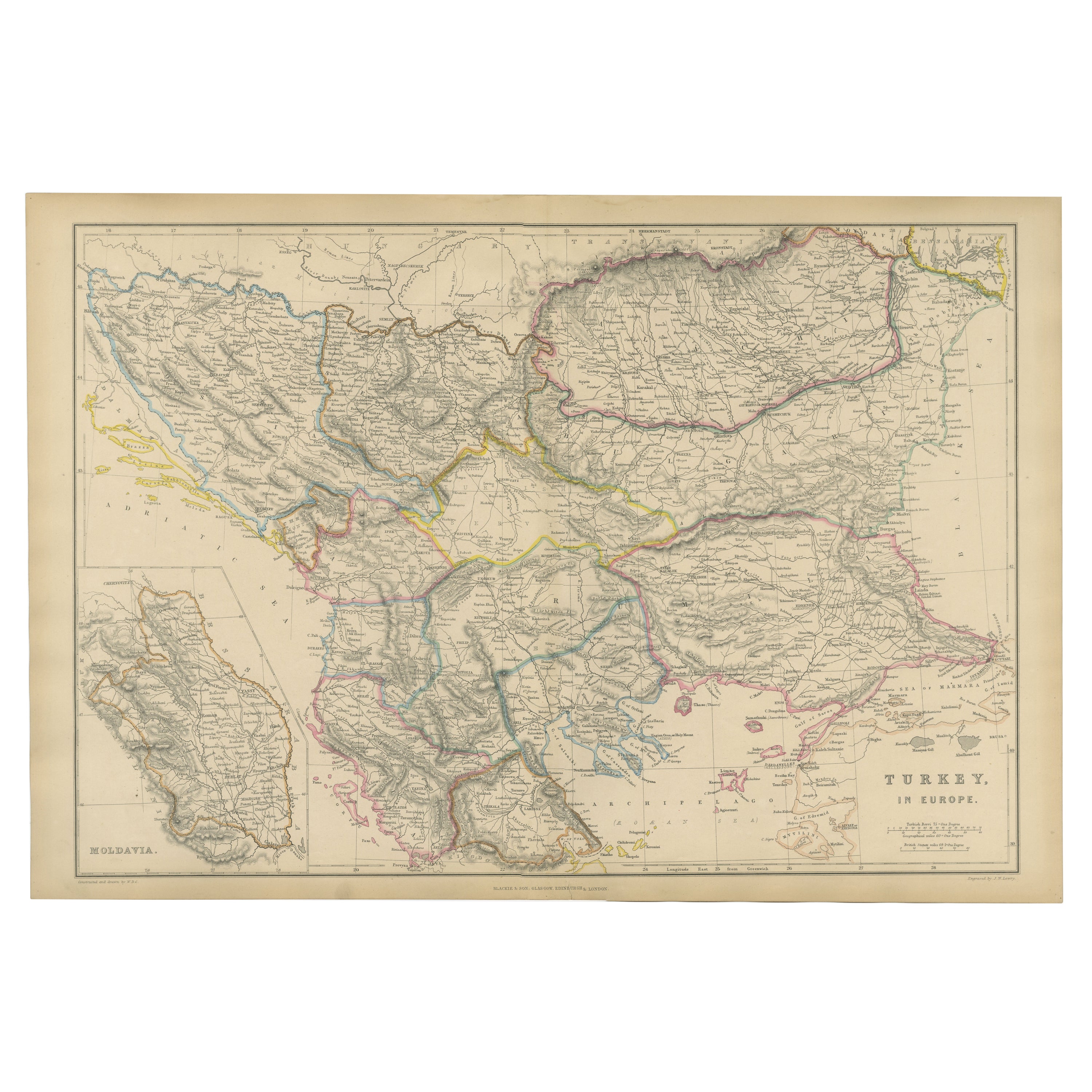
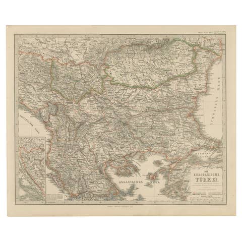
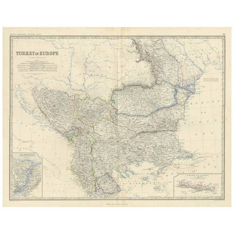
Turkey in Europe & Balkans Map, Antique Hand-Colored Map, 1860
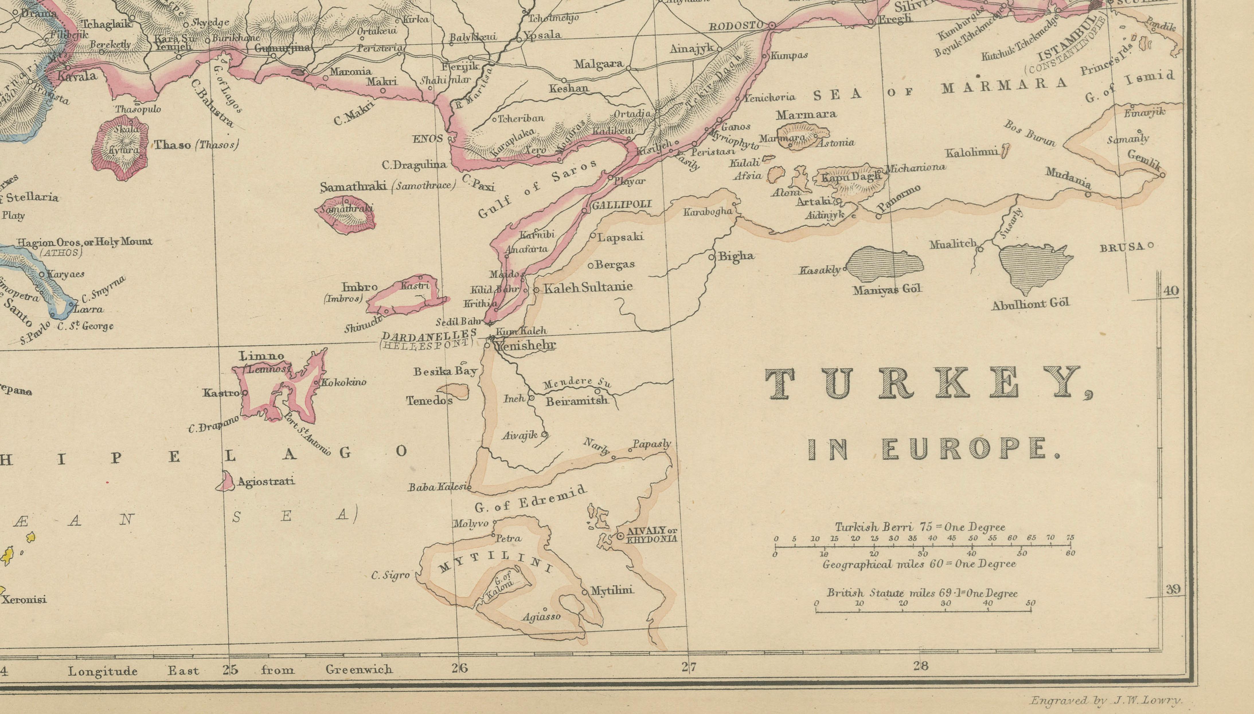
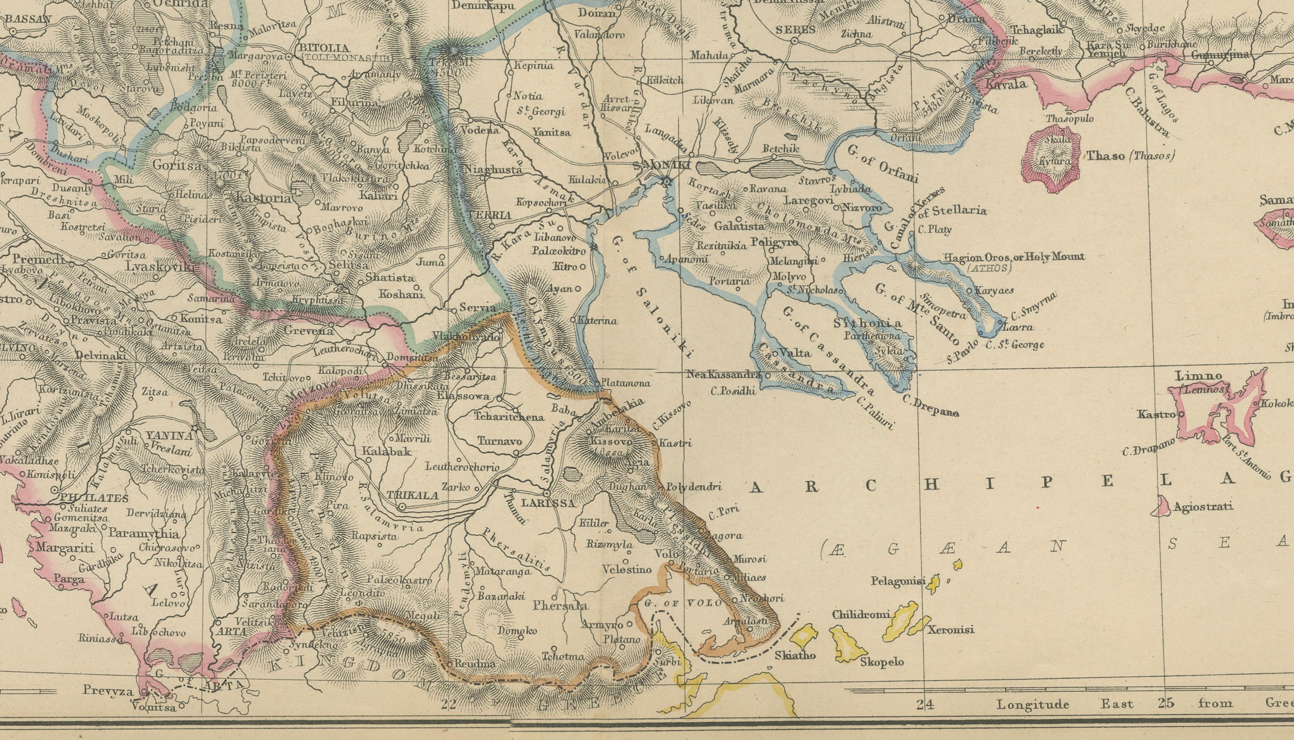
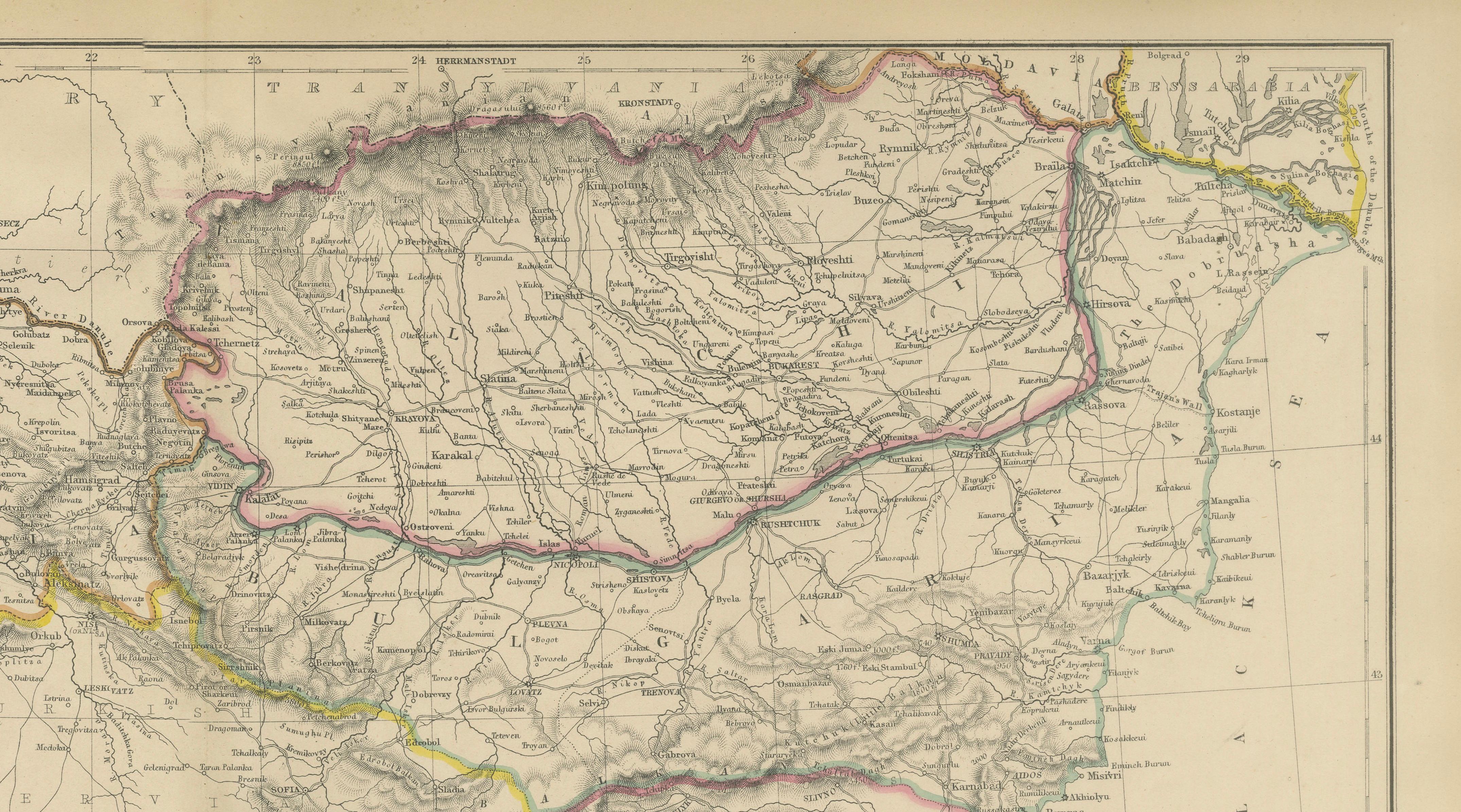
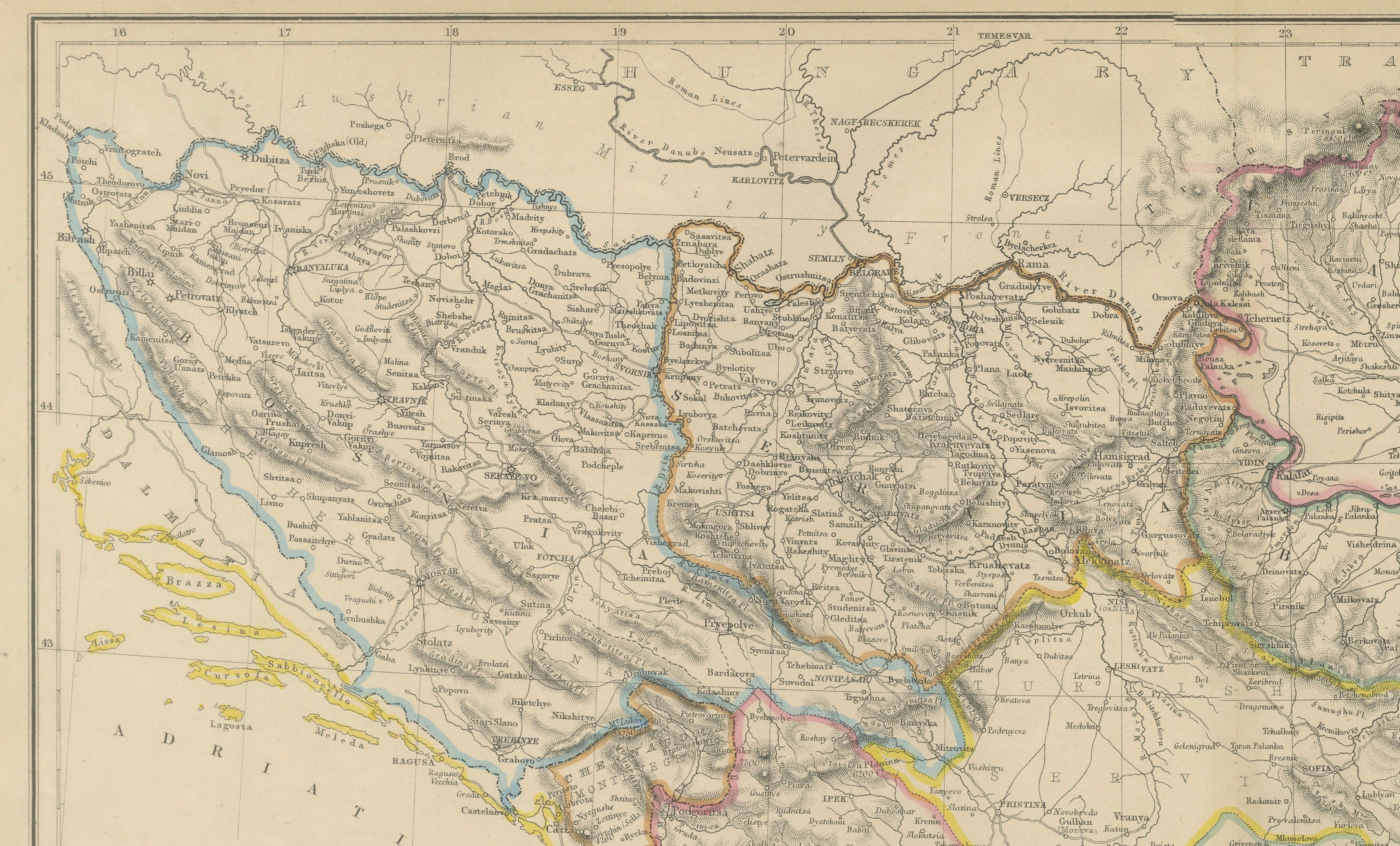
This finely detailed antique map illustrates Turkey in Europe together with the broader Balkan Peninsula, presenting a comprehensive view of Southeastern Europe during the mid-19th century. Published in 1860 by W. G. Blackie & Son for The Imperial Atlas of Modern Geography, the map captures the political geography of the Ottoman Empire’s European territories at a time of increasing nationalist movements and geopolitical tension.
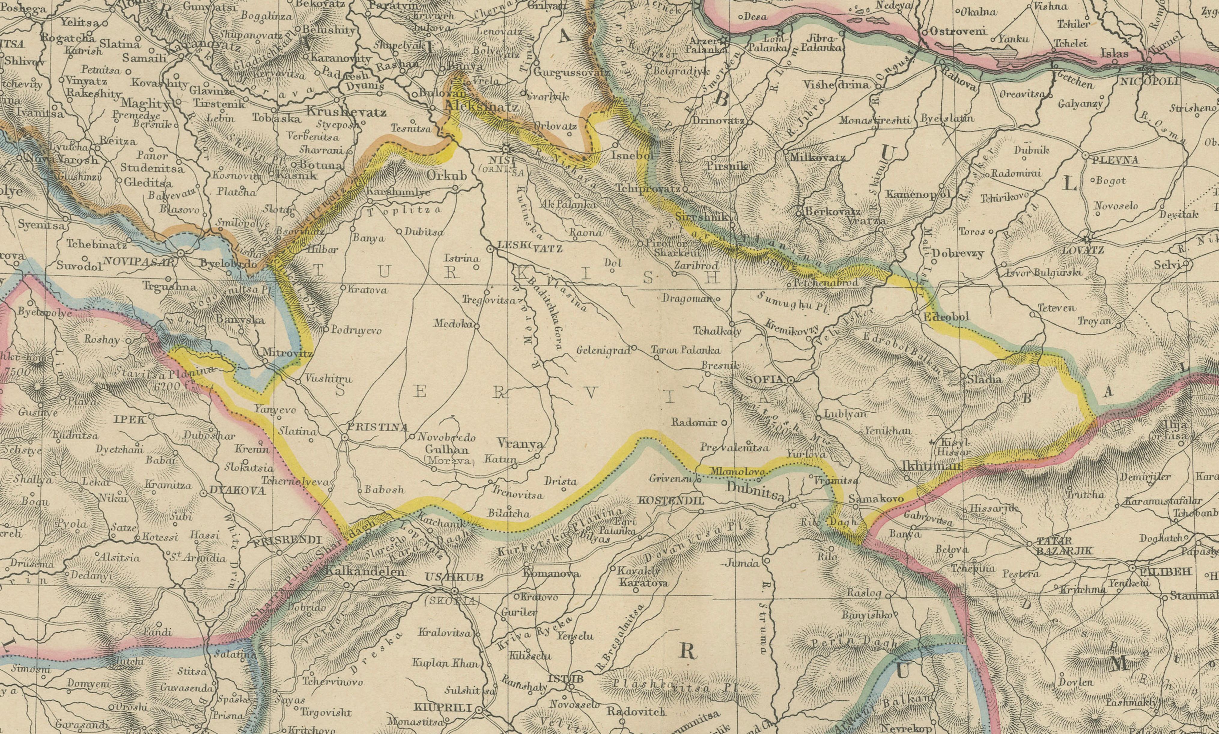
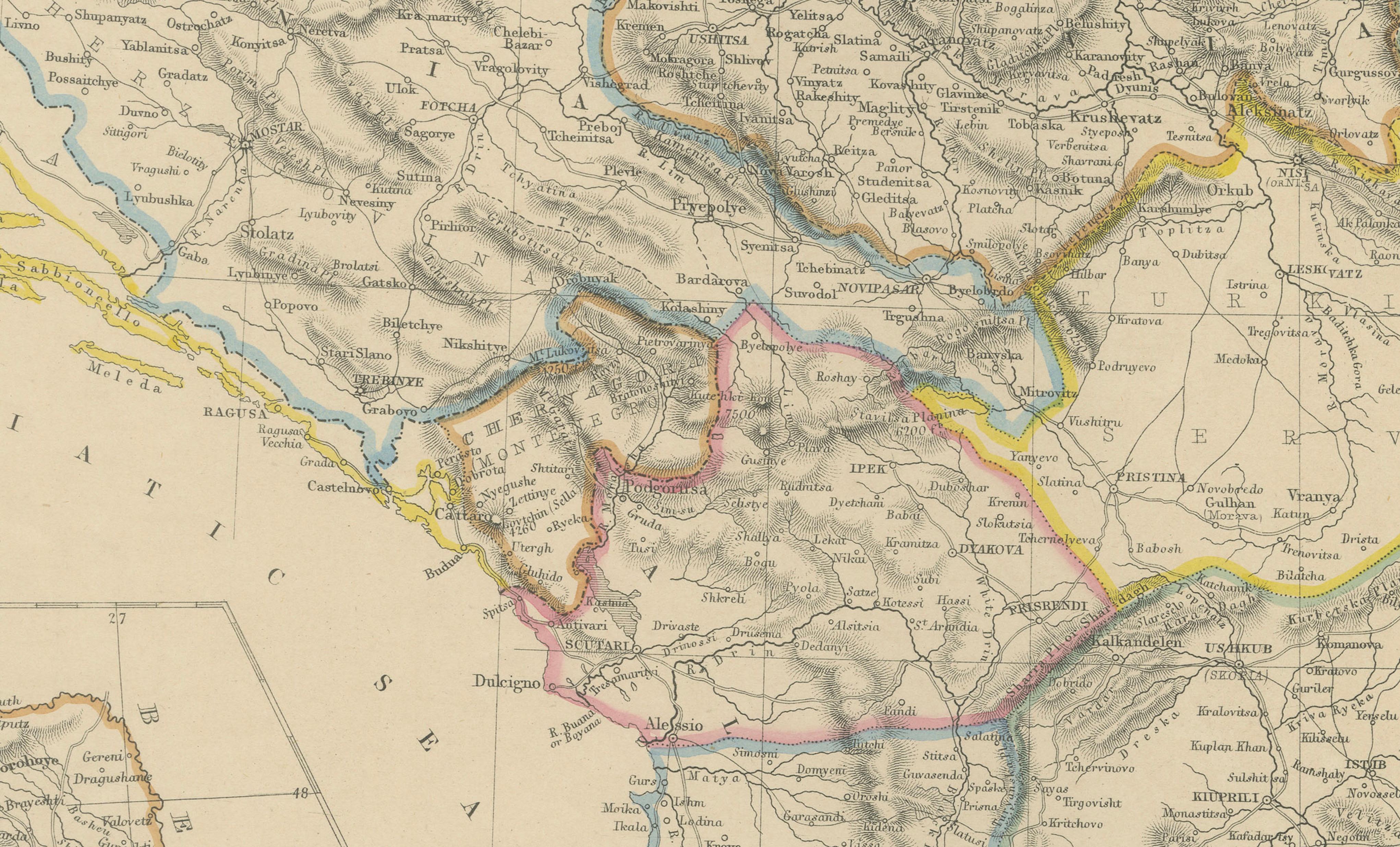
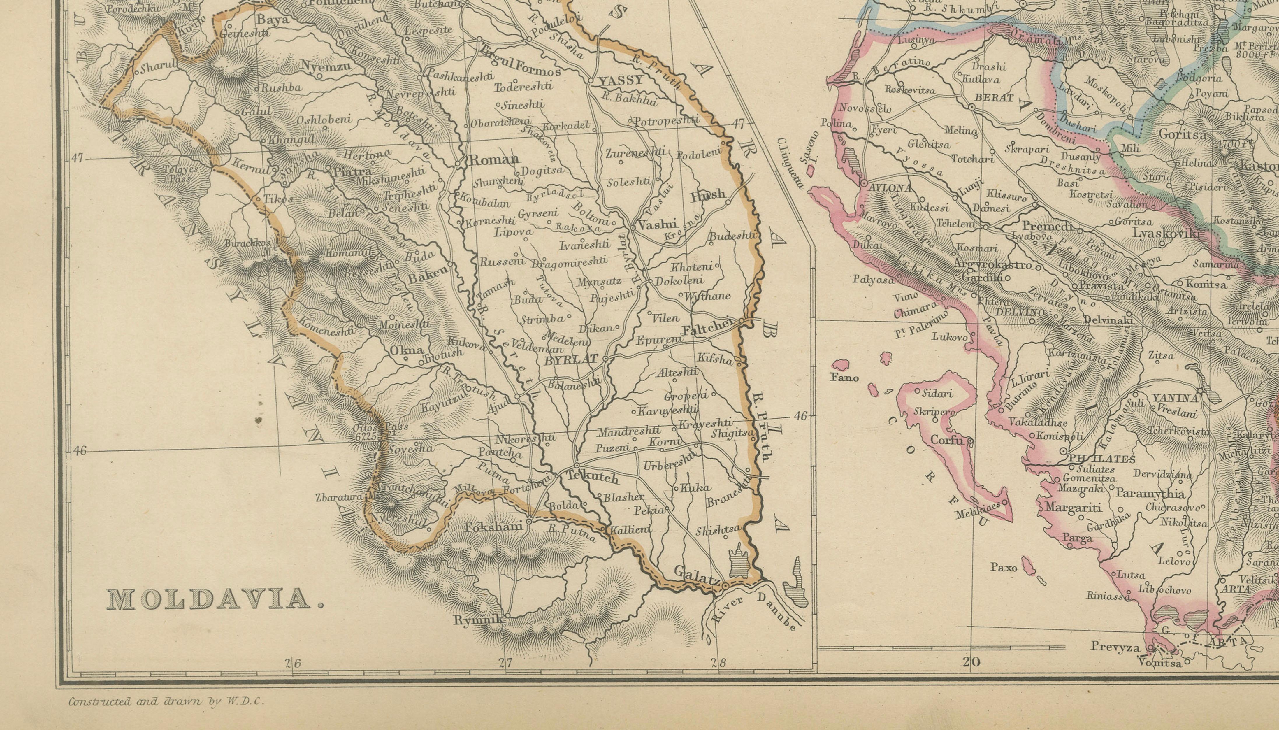
The composition covers present-day Greece, Bulgaria, Serbia, Bosnia, Montenegro, Albania, Romania, and parts of Hungary, with an inset map of Moldavia. Political borders are delicately hand-colored, clearly distinguishing Ottoman lands from neighboring states and frontier regions. Major cities such as Constantinople (Istanbul), Adrianople (Edirne), Sofia, Belgrade, Bucharest, Salonica (Thessaloniki), Athens, and Sarajevo are carefully labeled, alongside an extensive network of towns and transport routes.
Rivers form a dominant structural element, including the Danube, Sava, Drina, Morava, and Maritsa, while engraved relief shading depicts the Dinaric Alps, Balkan Mountains, and interior highlands. Coastal details along the Adriatic, Aegean, and Black Seas are precisely rendered, with islands and ports clearly identified, emphasizing maritime connections and strategic locations.
This map is both a valuable historical document and a visually compelling decorative piece, offering insight into the complex territorial structure of the Balkans before the major redrawing of borders later in the 19th and early 20th centuries. Ideal for collectors of Balkan history, Ottoman studies, or refined interior spaces seeking an authoritative antique map.
Condition report:
Good antique condition. Light overall age toning with minor scattered foxing, primarily in the margins. Original fold lines as issued. Plate mark visible.
Framing tips:
A dark walnut or black frame with a wide ivory or parchment-toned mat will enhance the hand coloring and fine engraved detail, making it well suited for library, study, or living spaces.
Technique: Copper engraving with original hand coloring
Maker: W. G. Blackie & Son, Glasgow, Edinburgh & London, 1860
Keywords:
Turkey in Europe map, Balkans map, Ottoman Empire map, antique Balkans map, 1860 map, Southeastern Europe, European Turkey, Ottoman Europe, historical Turkey, Balkan Peninsula, Greece map, Bulgaria map, Serbia map, Bosnia map, Montenegro map, Albania map, Romania map, Moldavia map, Constantinople map, Istanbul map, Adrianople, Sofia, Belgrade, Bucharest, Thessaloniki Salonica, Athens, Sarajevo, Danube River, Sava River, Drina River, Morava River, Maritsa River, Black Sea coast, Aegean Sea, Adriatic Sea, Dardanelles, Bosphorus, Balkan Mountains, Dinaric Alps, 19th century cartography, Victorian atlas map, Imperial Atlas, W G Blackie, British cartography, hand colored map, copper engraved map, political boundaries, Ottoman frontiers, European history map, antique wall map, collector map, library decor, historical geography