About this sheet
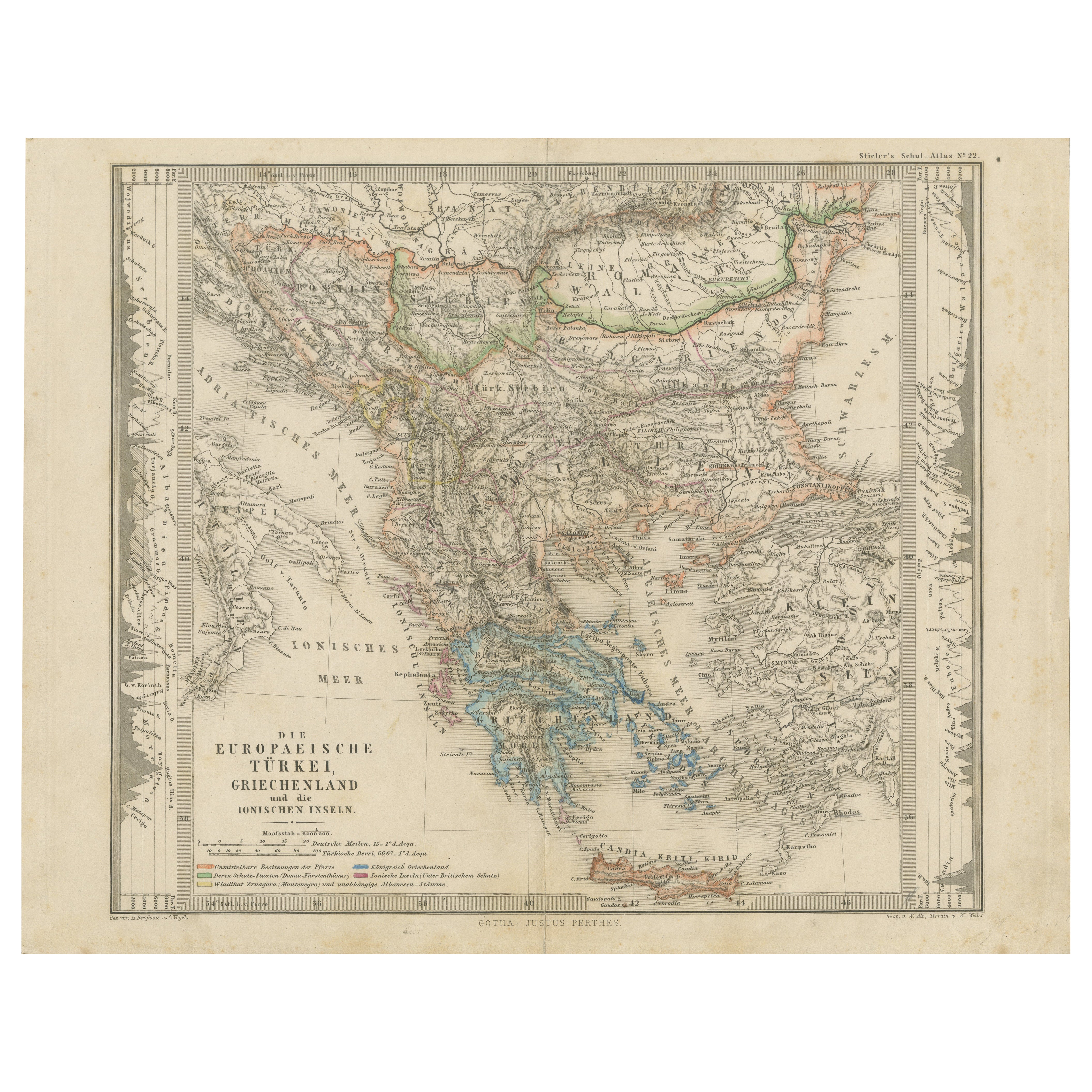
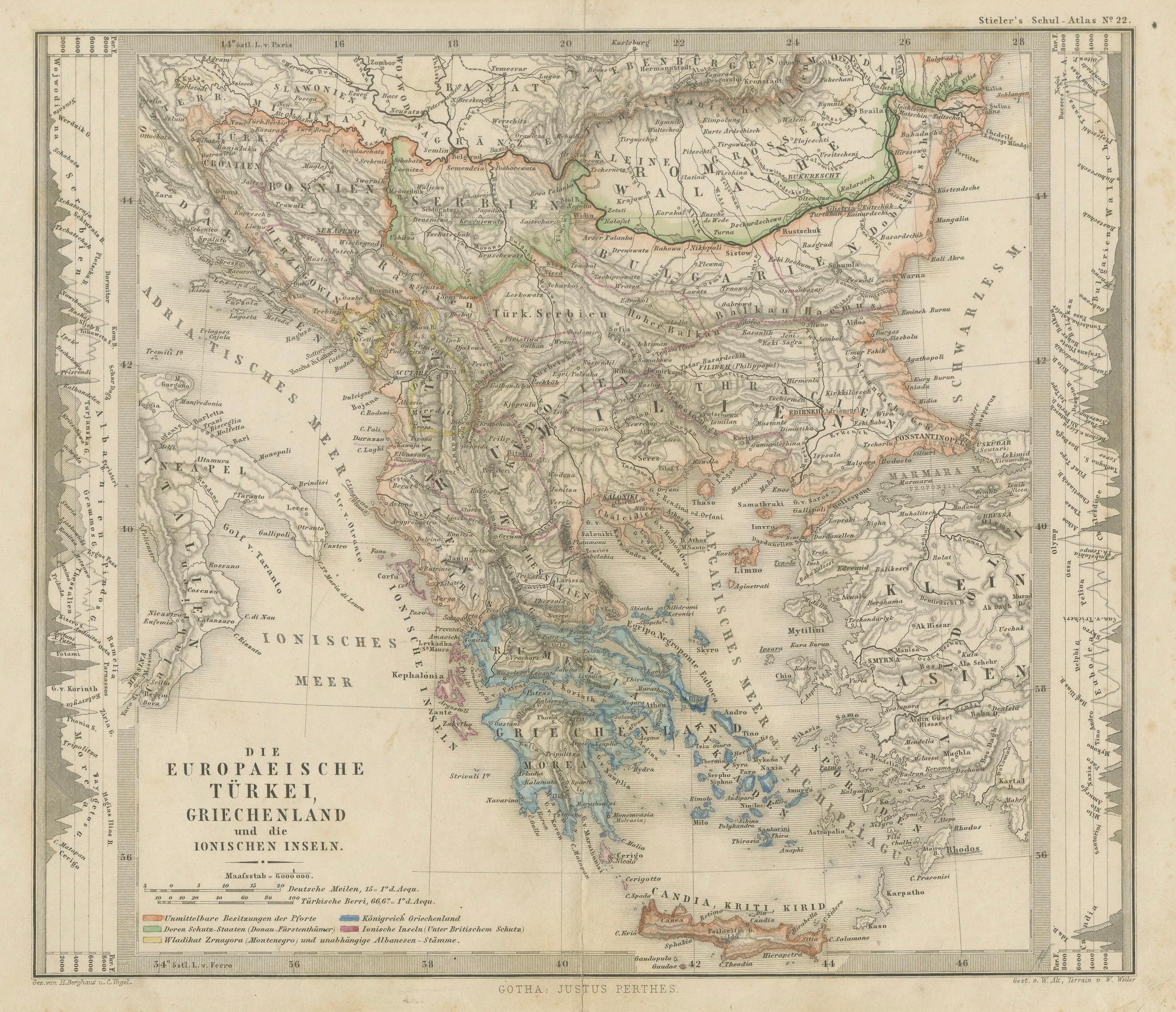
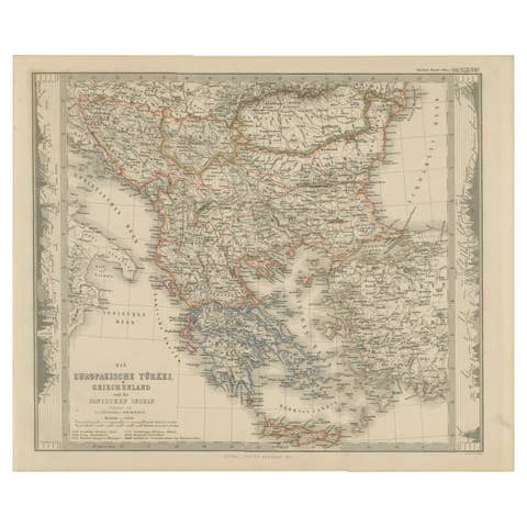
Antique Map of the European Turkey, Greece & Ionian Islands – Stieler, c.1860
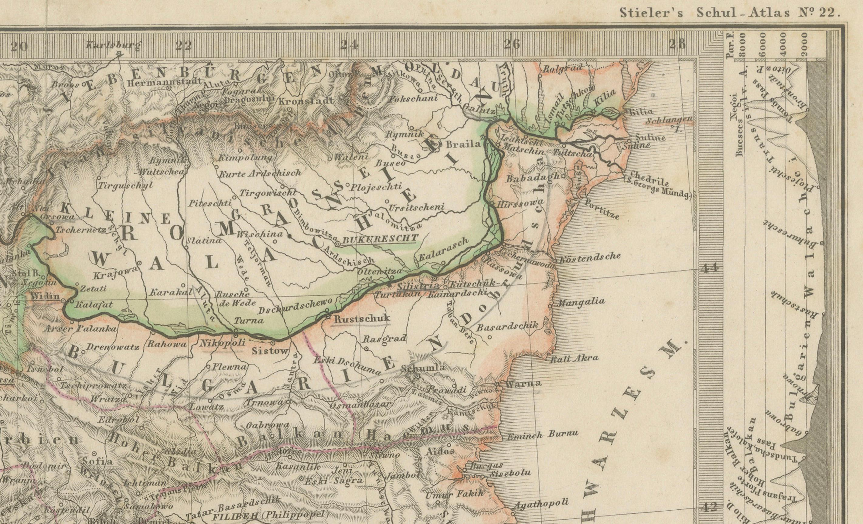
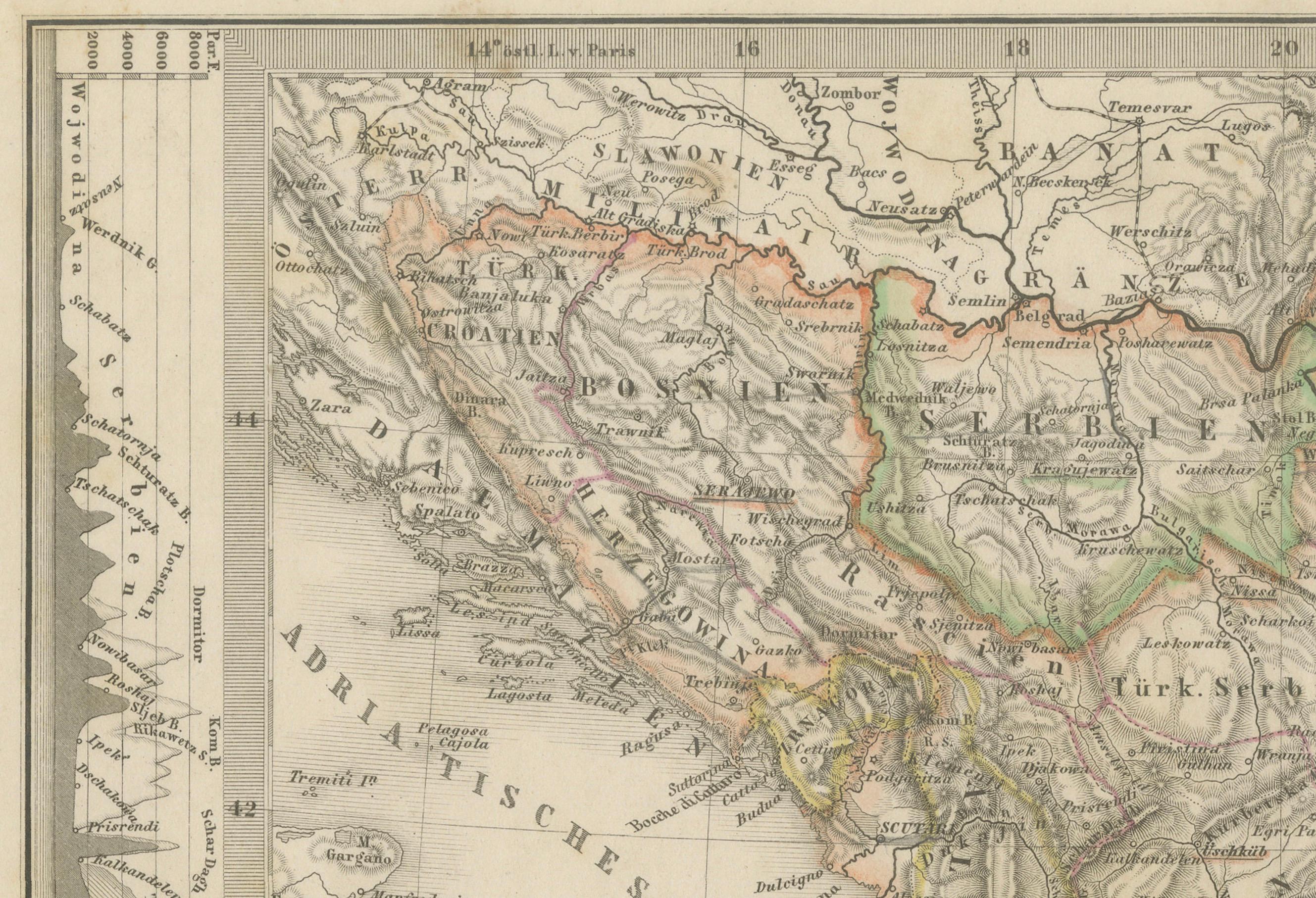
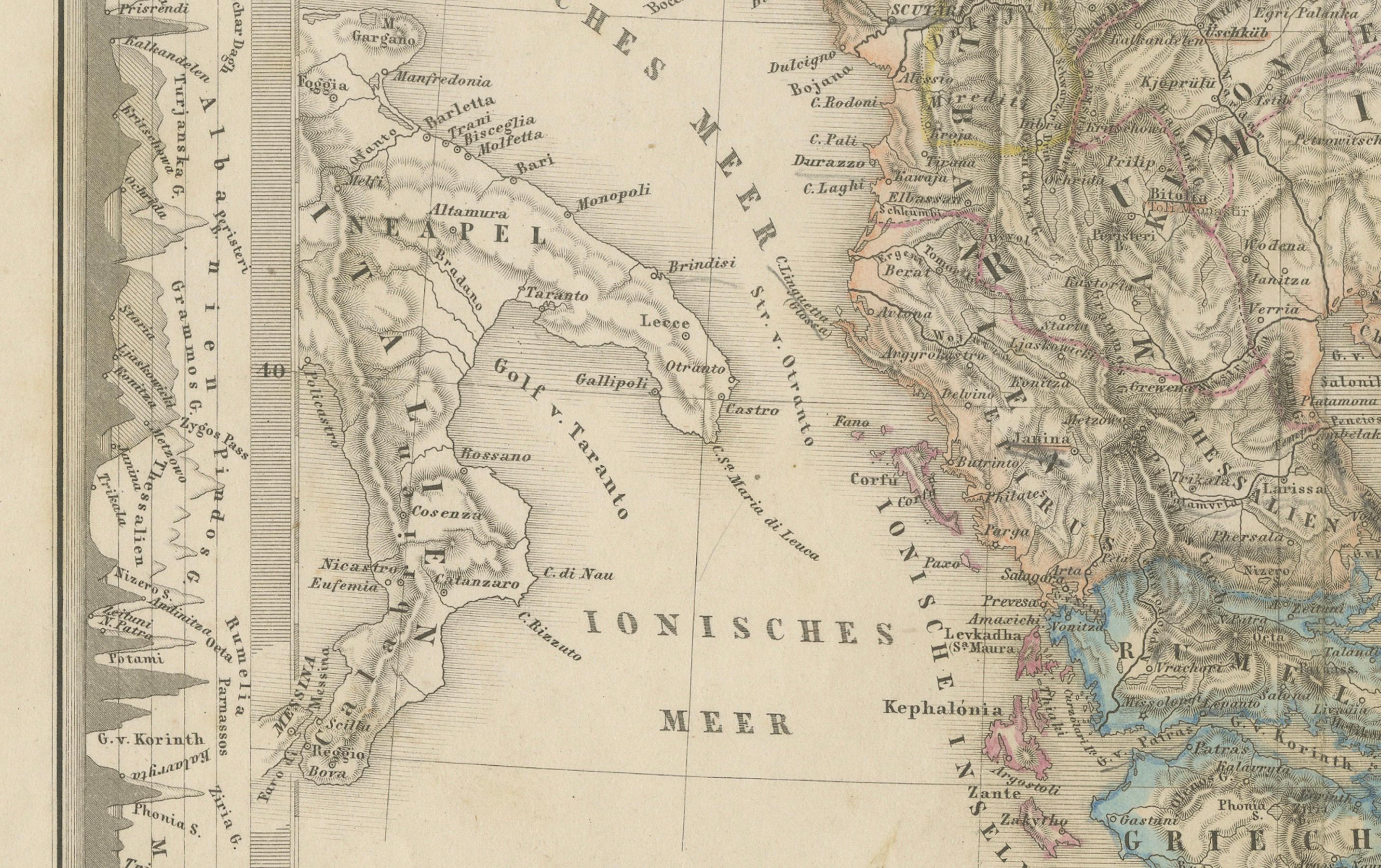
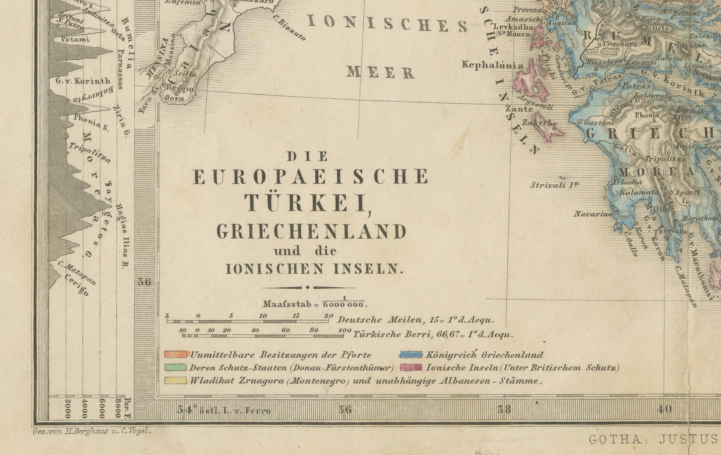
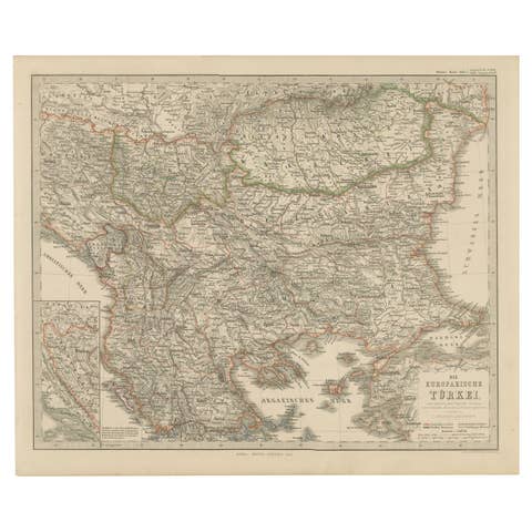
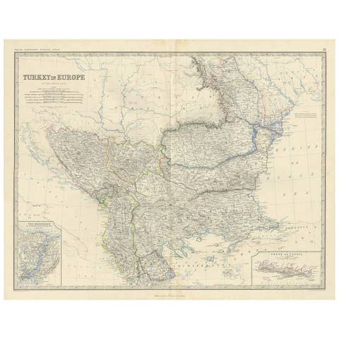
Original antique map titled *Die Europaeische Türkei, Griechenland und die Ionischen Inseln* (European Turkey, Greece and the Ionian Islands), published by Justus Perthes in Gotha, circa 1860. This finely engraved map comes from Stieler’s Schul-Atlas (Plate No. 22), and details the political and geographic landscape of the Balkan Peninsula, including parts of modern-day Greece, Albania, North Macedonia, Bulgaria, Serbia, Montenegro, Bosnia, and European Turkey.
The map features original hand colouring outlining regional boundaries such as Ottoman territories, vassal states, and areas under foreign protection. Coastal cities, mountain ranges, and islands—including Crete (Kreta), Corfu, and the Cyclades—are clearly depicted. An elevation profile is included along the right margin, with key shown lower left.
A striking piece of 19th-century European cartography, ideal for collectors, historians, and interior decorators.
Condition: Good antique condition. Some minor age spots, toning and dirt to margins due to handling, but strong impression with fine detail. Centre fold as issued.
Tips for framing: Use acid-free matting and UV-protective glass to preserve the map. Choose a classic frame in dark wood or black. Window matting or float mounting is ideal to show plate marks. Avoid glue; use archival corners or hinges for reversibility.
Keywords: antique map Greece, Ottoman Empire map, European Turkey map, Ionian Islands, 19th century map, Stieler map, Balkan antique map, map of Greece 1800s, Justus Perthes, Stieler’s Atlas, engraved map, hand colored map, historical map, Greece wall art, rare map, gift for historian, travel map decor
Shipping: Ships flat in archival packaging with full insurance and tracking. Suitable for framing.