
Maps & PrintsBartele Gallery · Langweer
Home / Antique Maps / Europe / South-East Europe

South-East Europe · 19th century

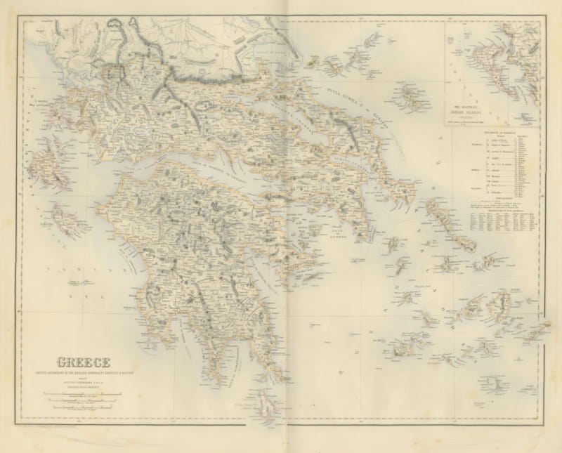
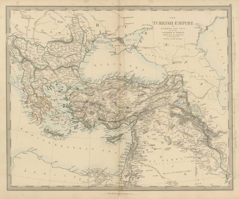
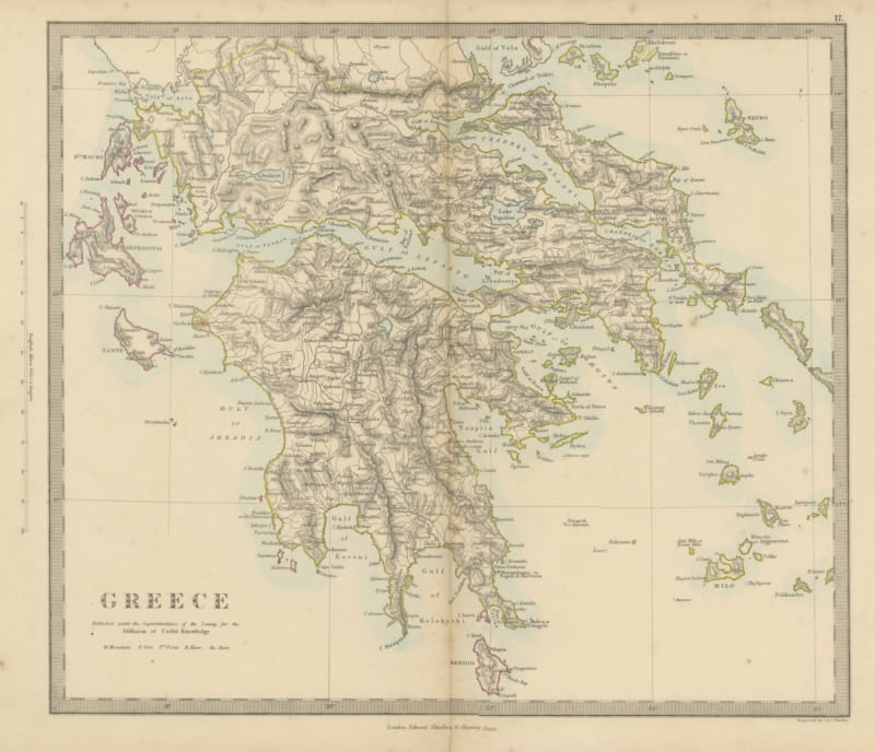
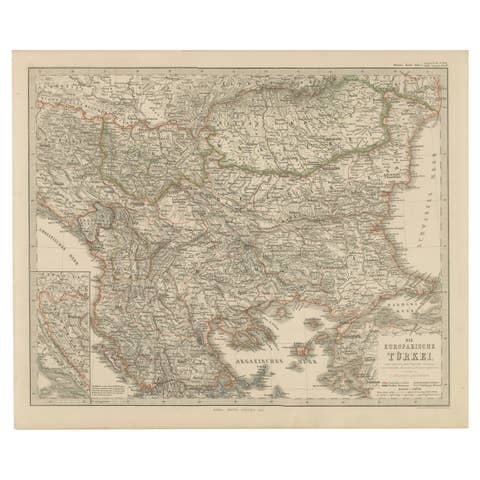
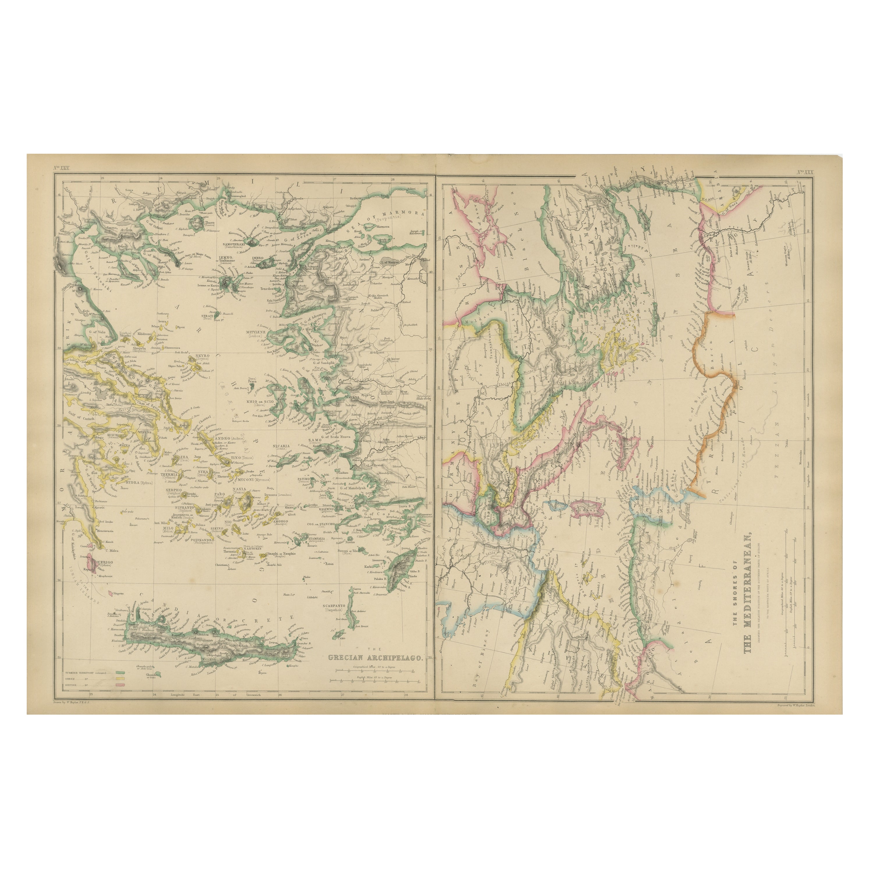
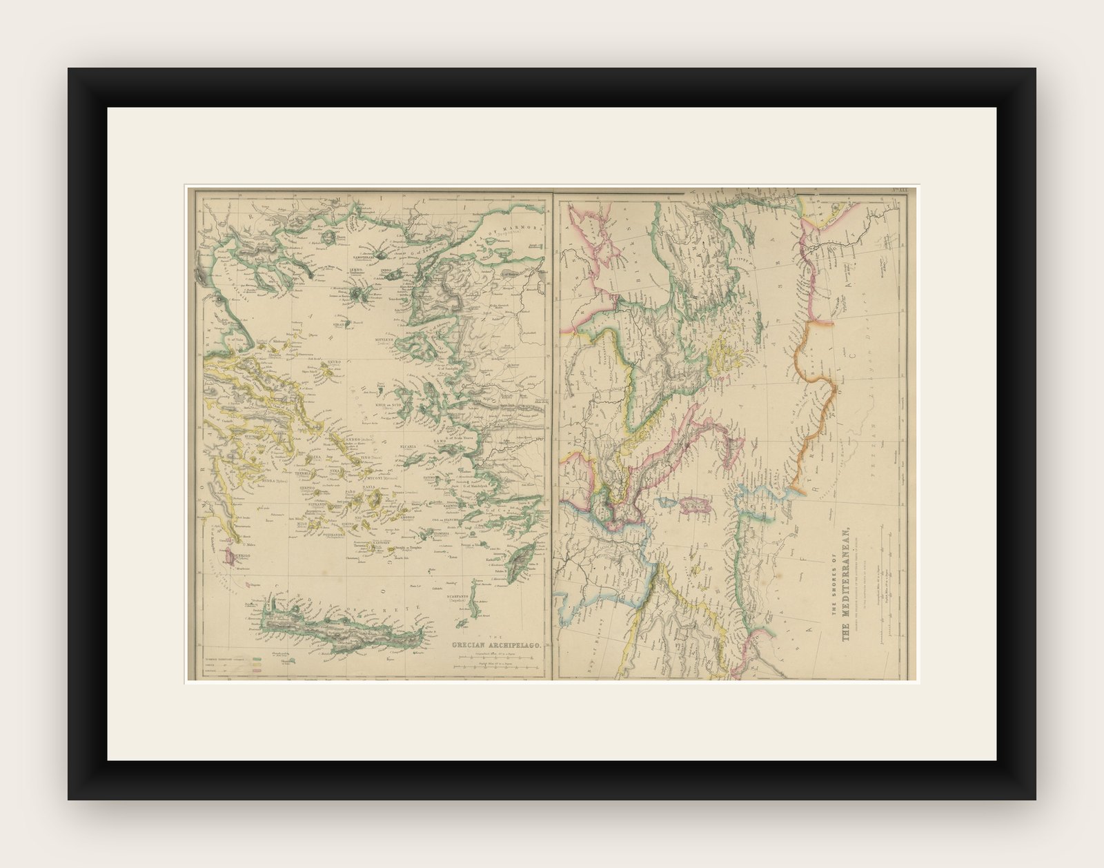
Antique Map of the Mediterranean & Greek Archipelago, Blackie, circa 1860

€ 340

Original antique · The actual sheet photographed · Certificate of authenticity on request · Sold unframed · Worldwide shipping from € 15 (rates)

Date
1860
Mapmaker / artist
Blackie & Son, Glasgow, Edinburgh & London, circa 1860
Technique
Copper engraving with original hand color
Sheet size
37 × 54 cm (14.6 × 21.3 in)
Condition
Good
Reference
BG-13383-27
What the condition grades mean
Excellent
Bright and clean, with no faults worth mentioning.
Very good
Only light signs of age, such as faint toning.
Good
Normal signs of age for a sheet of this period: toning, some foxing, small marks or neat old repairs.
Fair
Clear faults such as staining, tears or repairs, priced to match.

Every fault we see is written in the condition note, and the whole sheet is shown uncropped in the photos.

Condition

Good antique condition. Light overall toning consistent with age; scattered minor foxing, mainly in the margins. Central fold as issued. Original plate mark visible. No major tears or losses.
About this sheet

Antique Map of the Mediterranean & Greek Archipelago, Blackie, circa 1860

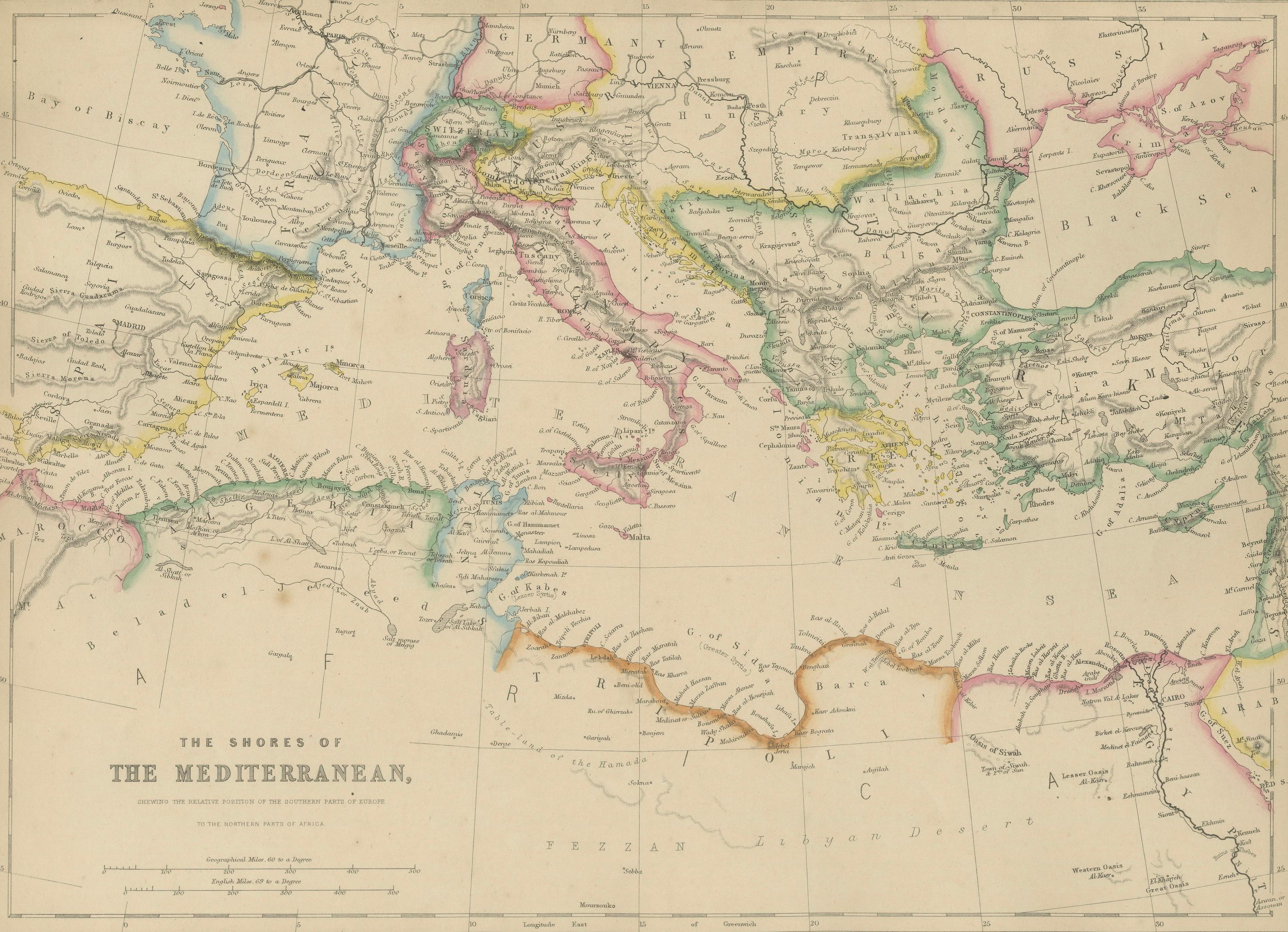
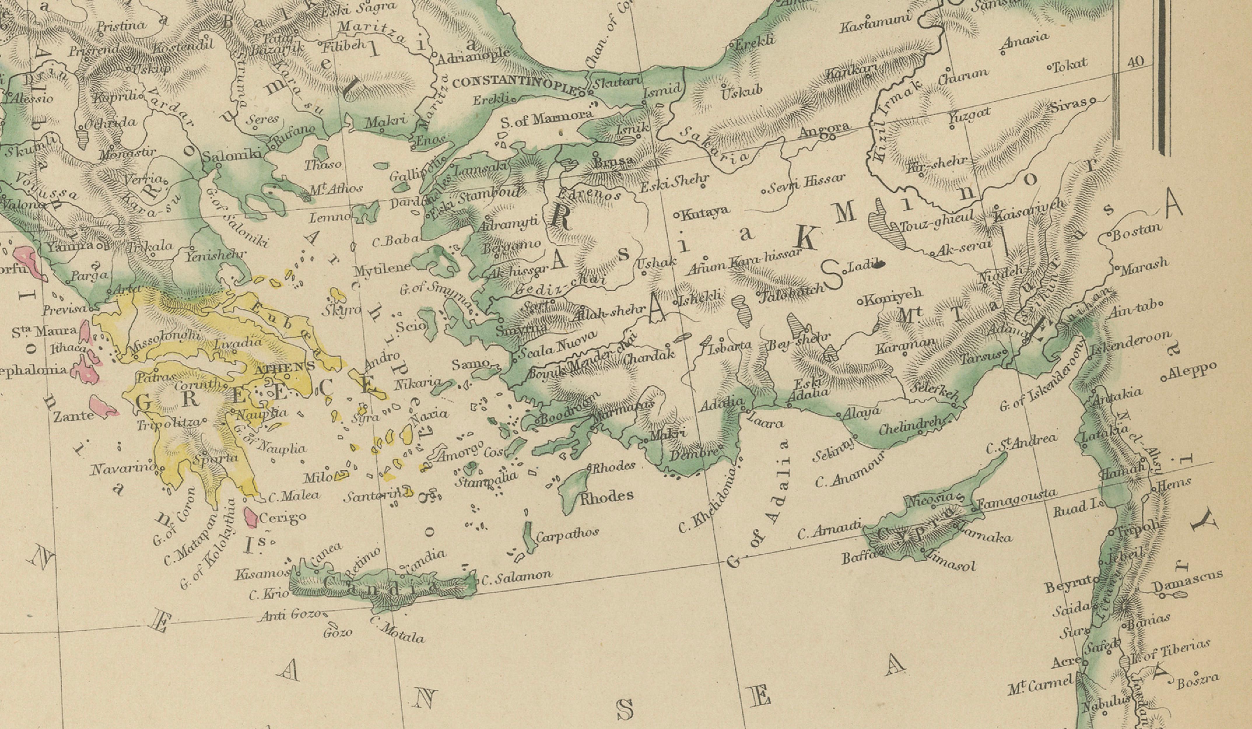
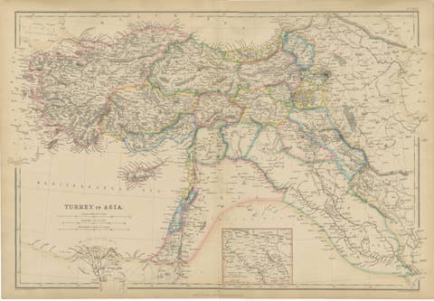
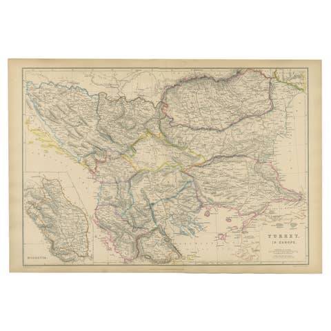
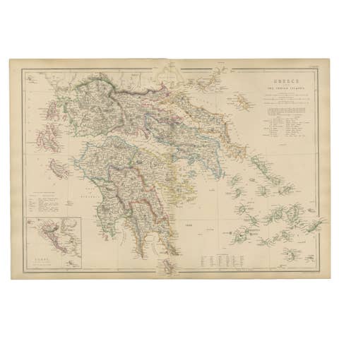
This finely detailed antique map depicts the shores of the Mediterranean Sea and the Greek Archipelago, presenting Southern Europe, North Africa, and the eastern Mediterranean world as understood in the mid-19th century. The composition extends from the Iberian Peninsula and southern France across Italy and the Adriatic, through Greece and the Aegean islands, and onward to Asia Minor, the Levant, and the North African coastline.

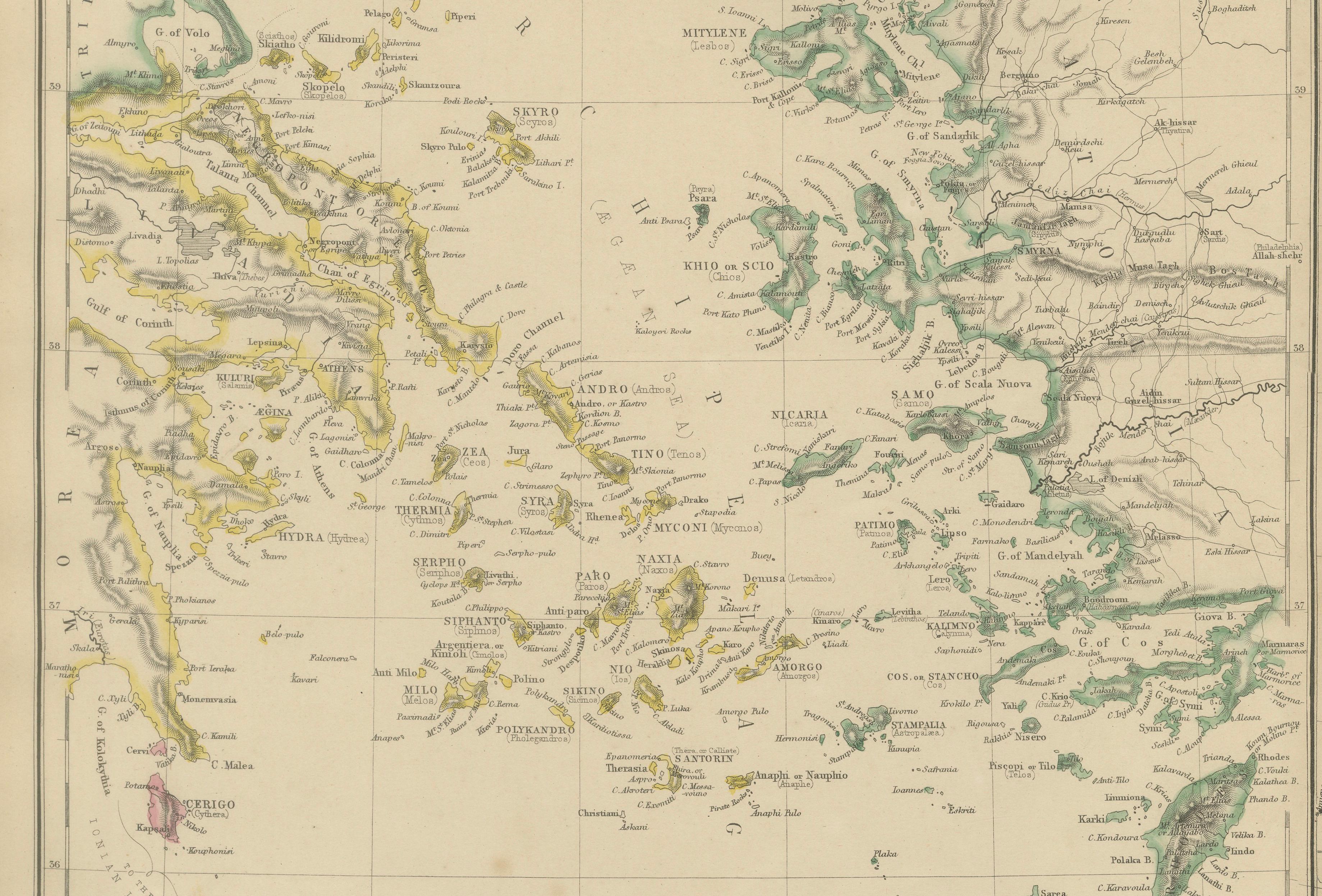
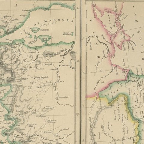
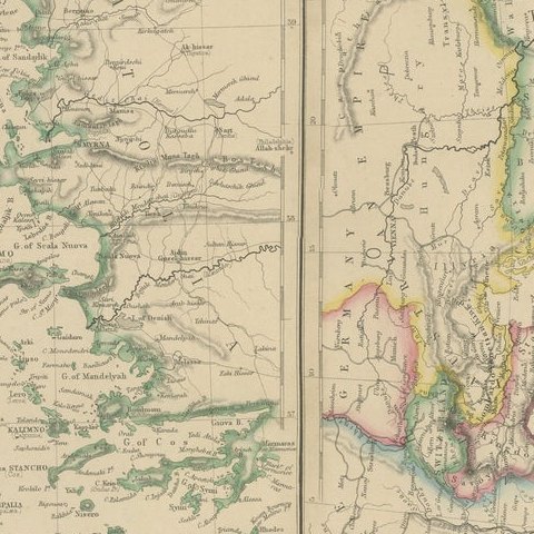
The map is richly engraved and delicately hand-colored to outline political boundaries, coastal regions, and major territorial divisions. Mountain ranges, river systems, ports, and principal cities are carefully rendered, reflecting the era’s growing emphasis on scientific geography and modern cartography. The Greek Archipelago is shown in exceptional detail, with numerous islands individually named, making the map particularly appealing to collectors of classical geography, Mediterranean history, and Hellenic studies.

This example originates from a mid-19th-century British atlas published by Blackie & Son of Glasgow, Edinburgh, and London, a firm renowned for producing clear, accurate, and elegantly engraved maps for both educational and domestic use. The restrained coloring, balanced layout, and generous margins give the map strong decorative presence while retaining its scholarly character.

A highly decorative and historically informative piece, well suited for interior display in libraries, studies, or coastal and classical interiors, as well as for collectors of antique maps of Greece, the Mediterranean, or the Ottoman-era eastern Mediterranean.

Condition report:
Good antique condition. Light overall toning consistent with age; scattered minor foxing, mainly in the margins. Central fold as issued. Original plate mark visible. No major tears or losses.
Framing tips:
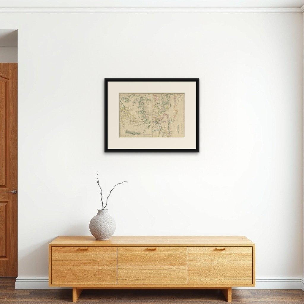
This map frames beautifully with a wide ivory or soft cream mat to highlight the fine engraving. A dark walnut, black, or antique gold frame complements both the hand coloring and the classical subject matter, lending a refined, library-style presentation.

More from South-East Europe

Ask about this sheet

Antique Map of the Mediterranean & Greek Archipelago, Blackie, circa 1860
1860 · Ref. BG-13383-27 · € 340
We reply by email, usually within one working day.

Your favorites

Saved in this browser. Email the list to yourself to keep it on any device.

We use your email to send this list and, only if you tick the box and confirm, for occasional new arrivals. Every email has an unsubscribe link. Bartele Gallery, the Netherlands.