About this sheet
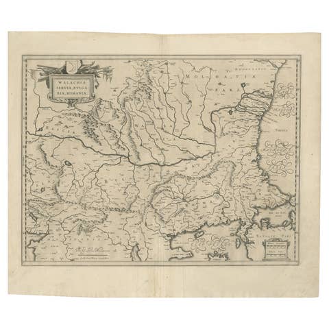
Blaeu Map of Ottoman Balkans – Walachia Bulgaria Romania, circa 1665
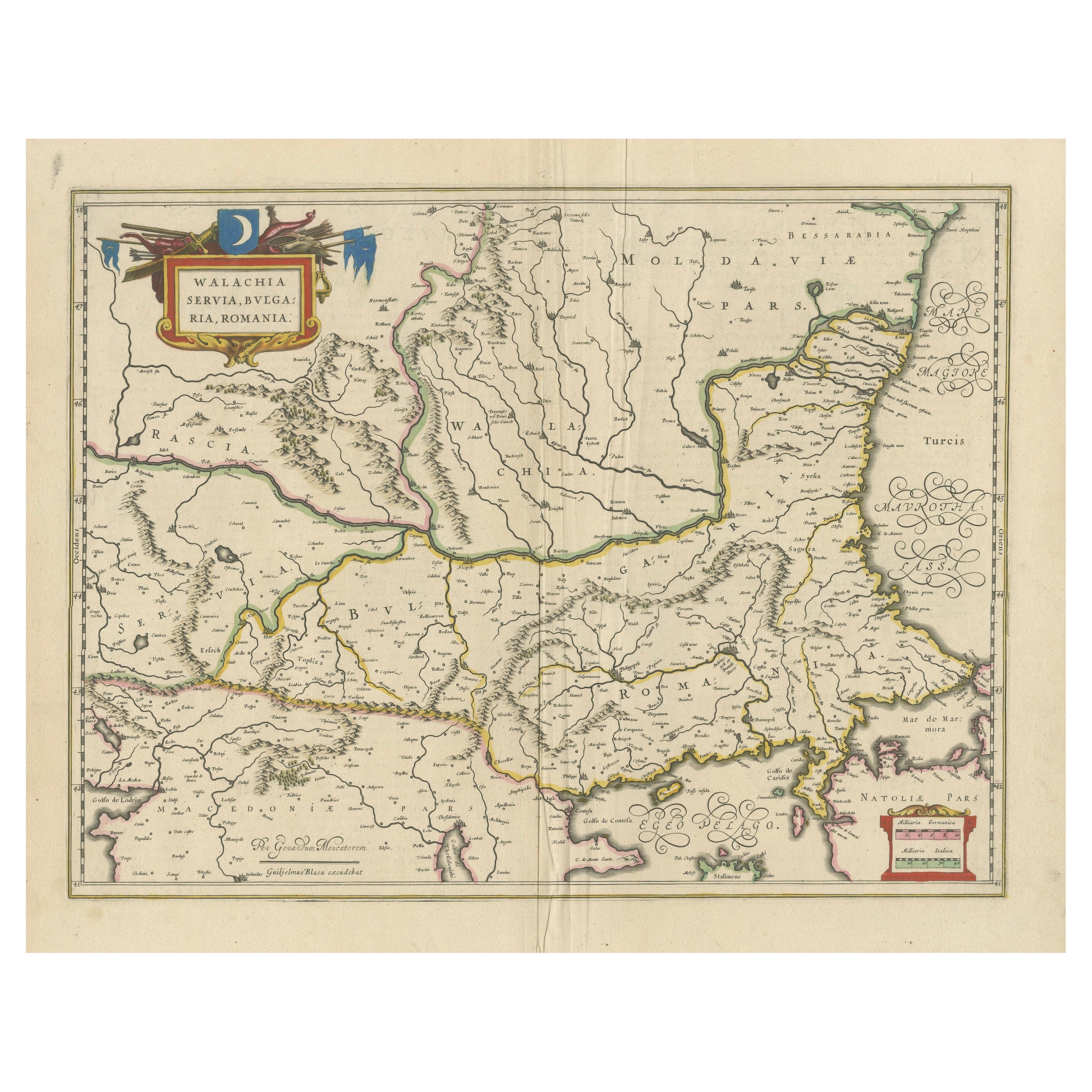
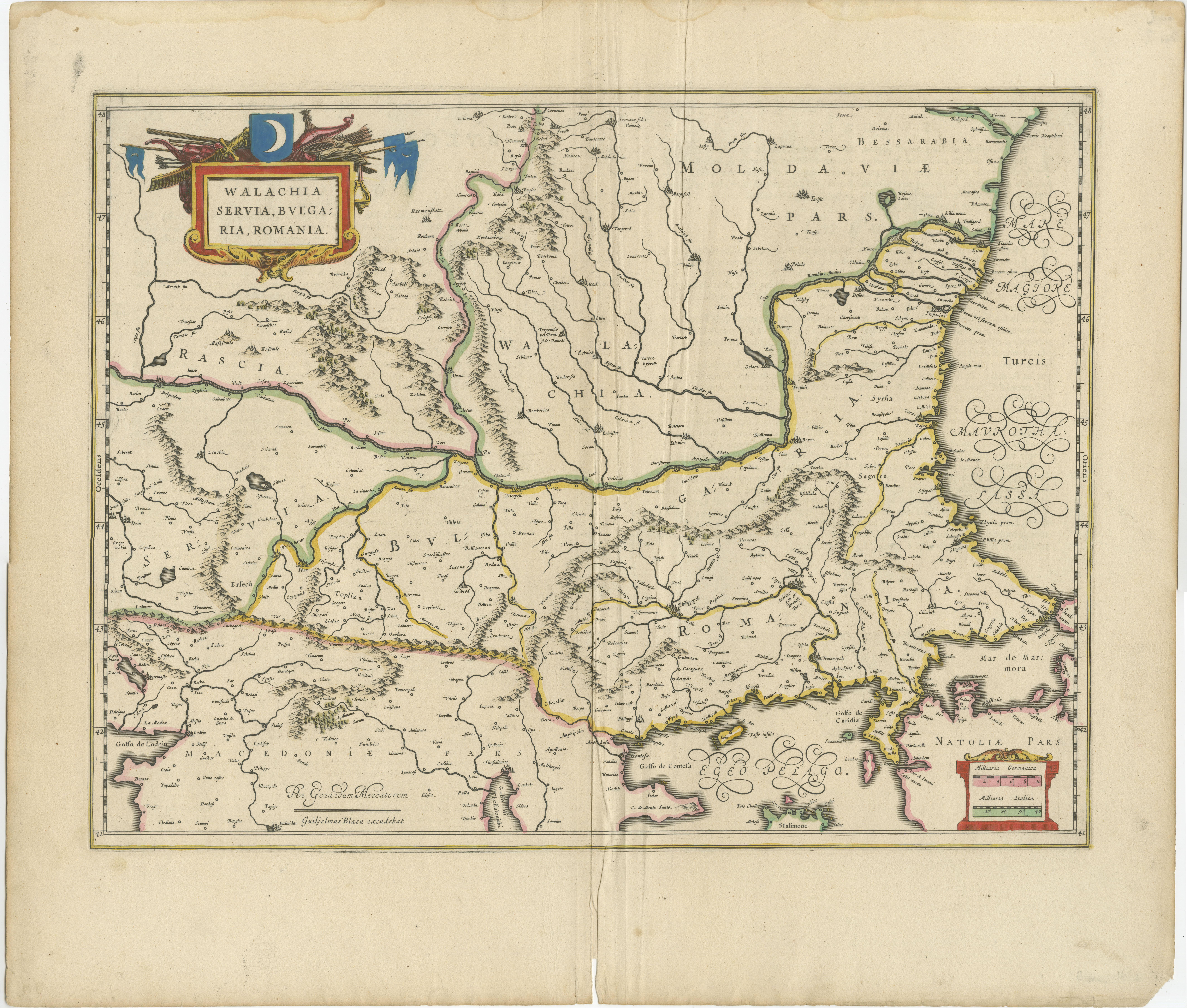
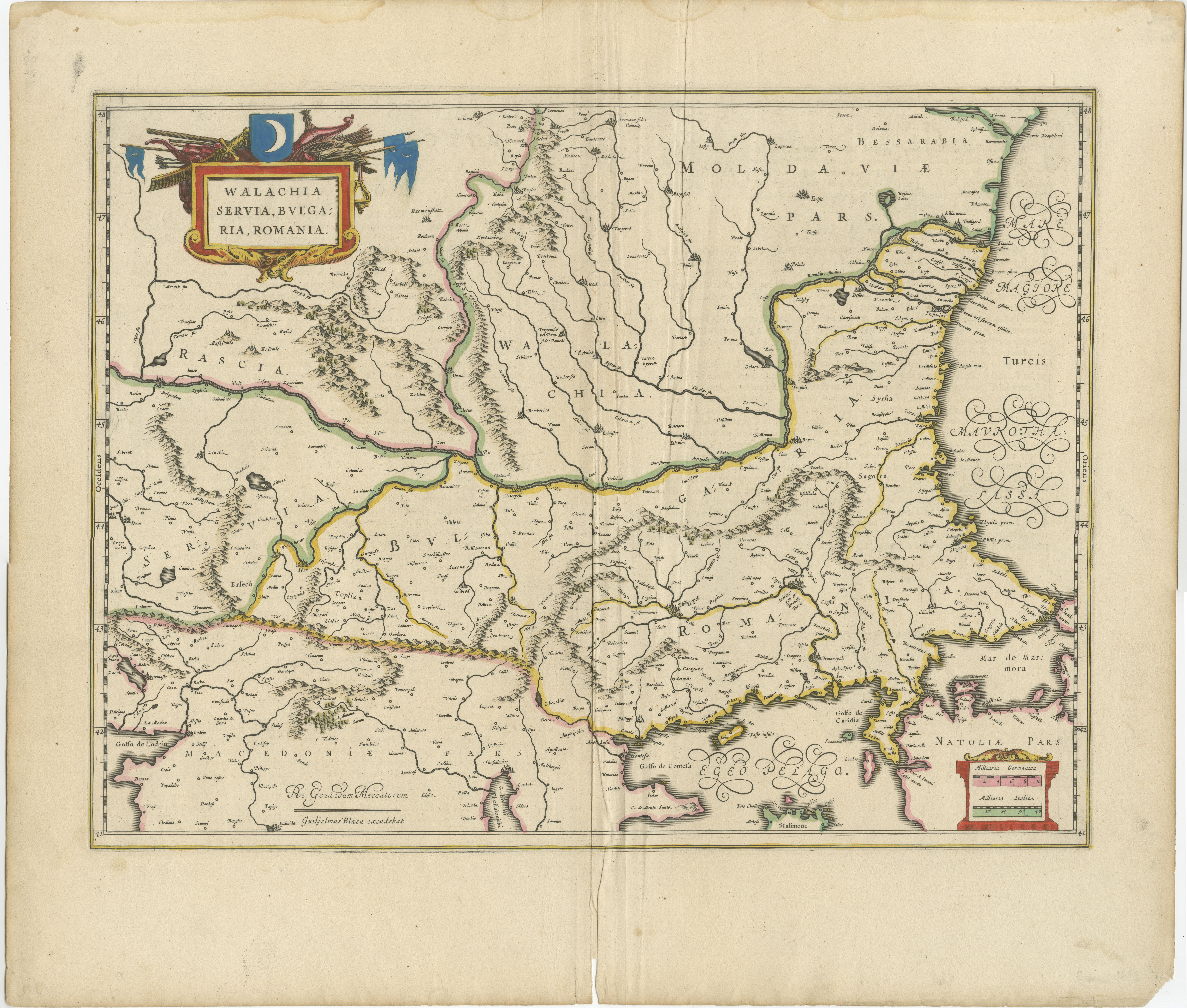
This is an original hand-coloured antique map titled “Walachia, Servia, Bulgaria, Romania,” published by Joan Blaeu in Amsterdam circa 1665. It appeared in Blaeu’s monumental Atlas Maior, the largest and most prestigious atlas of the 17th century, issued between 1662 and 1672.
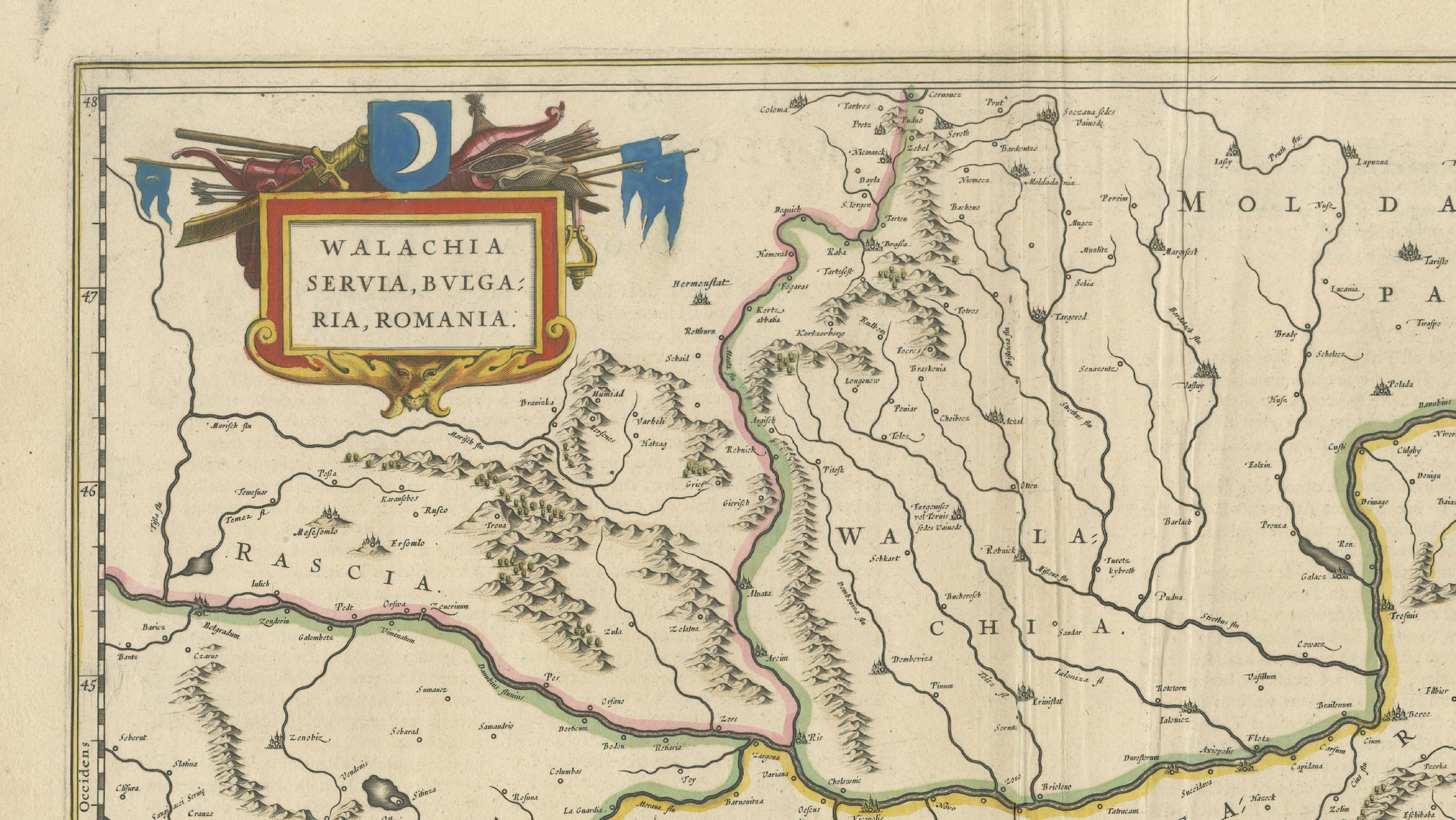
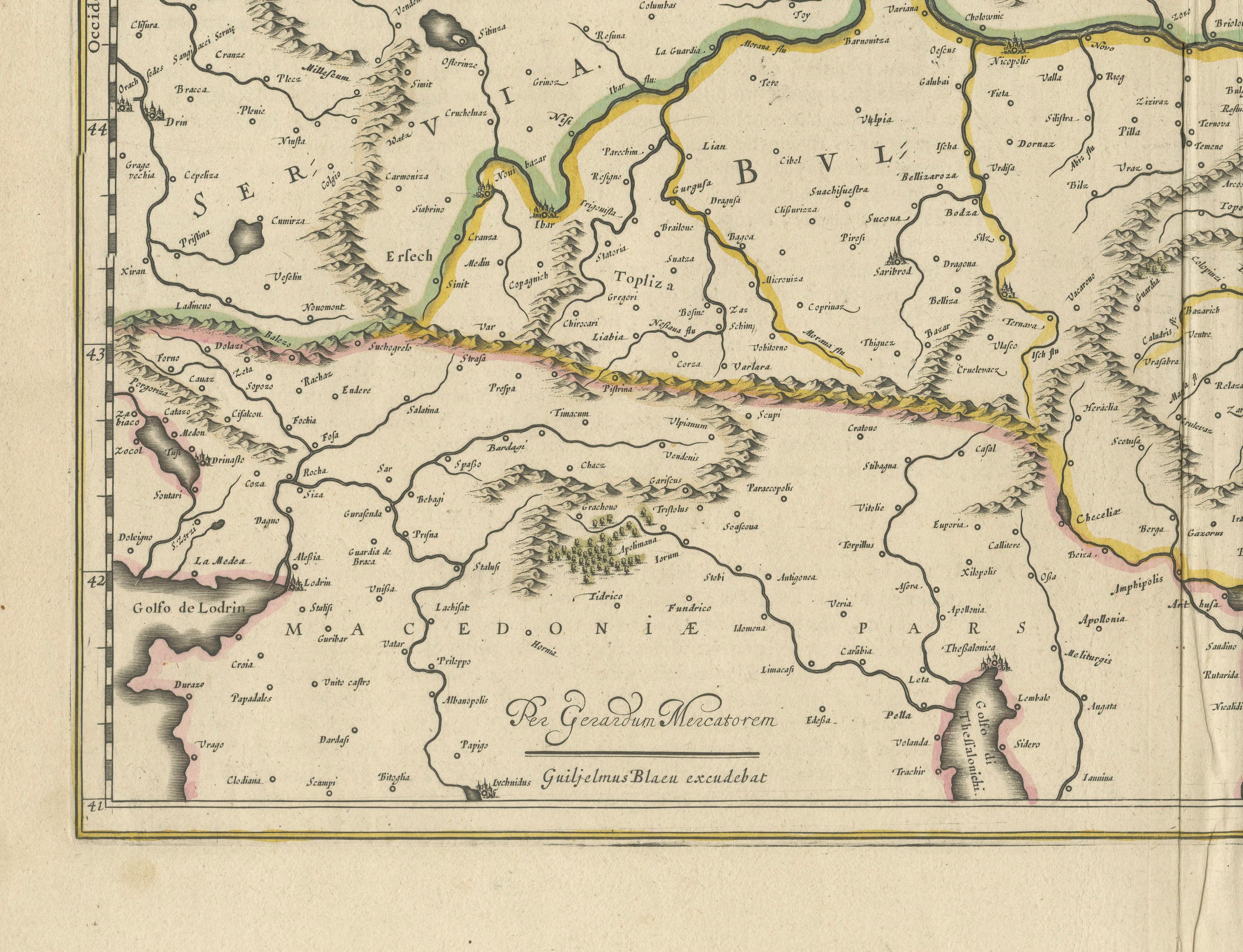
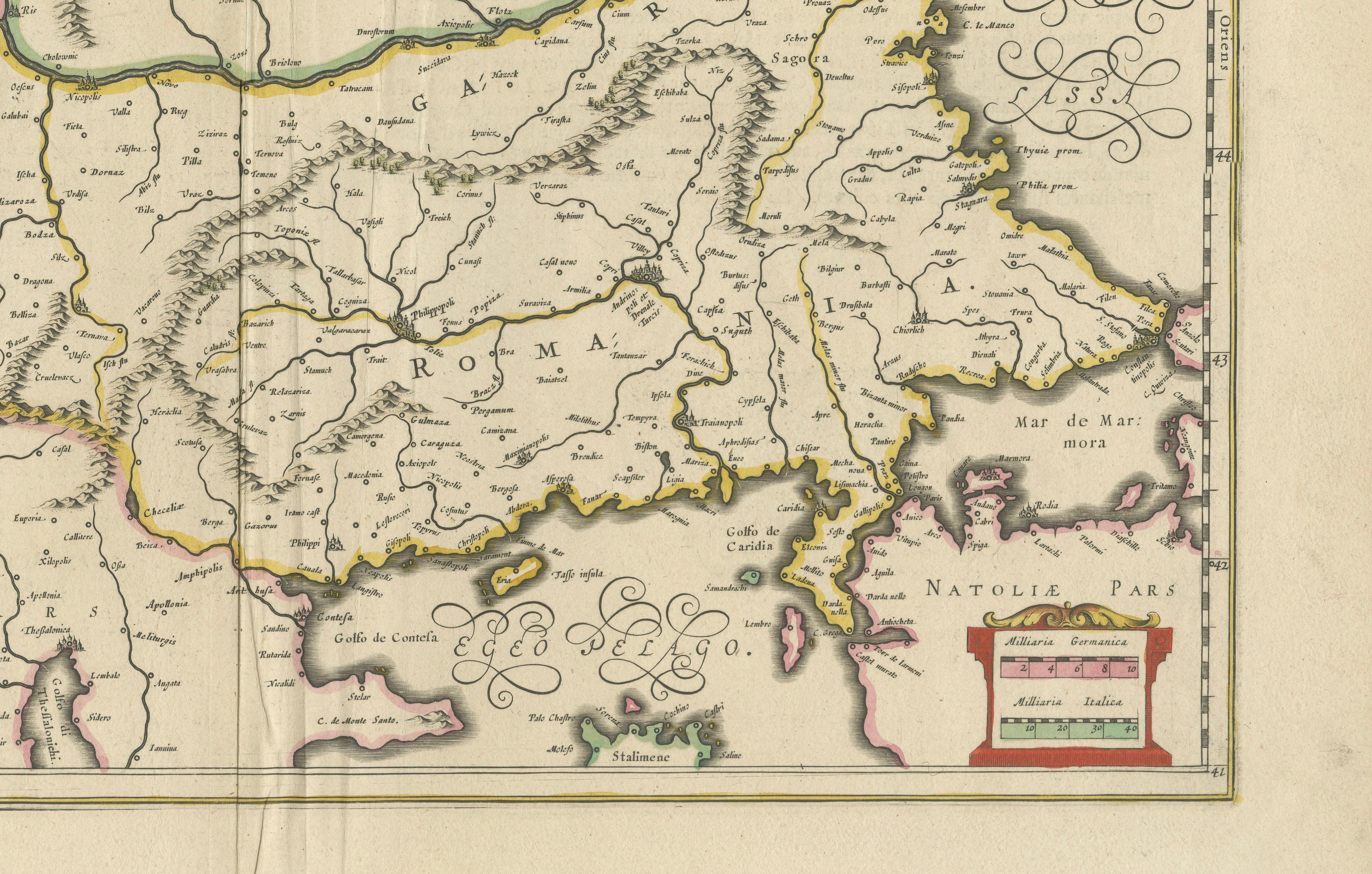
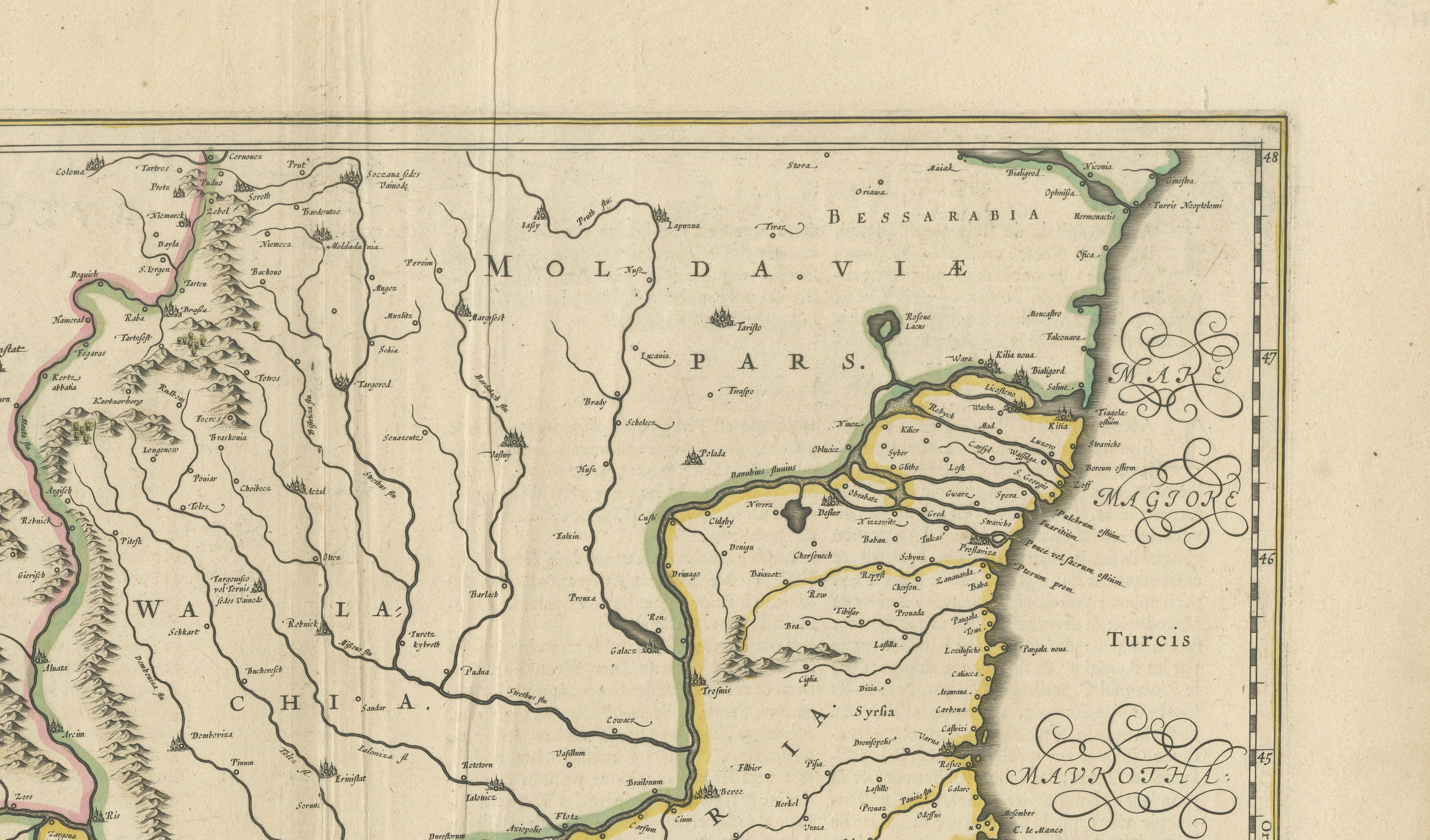
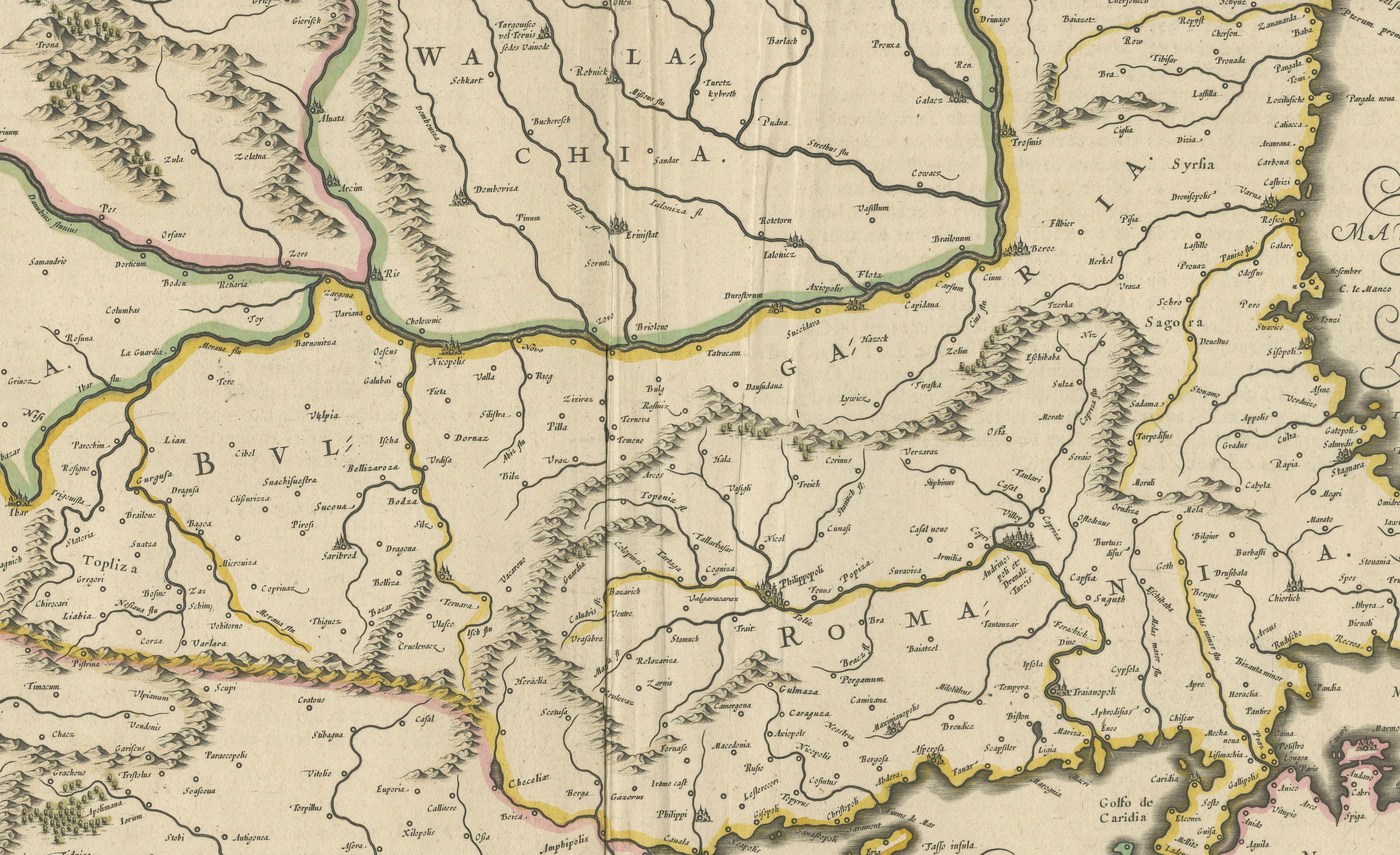
The map depicts southeastern Europe under Ottoman rule, including parts of present-day Romania (Wallachia and Moldavia), Bulgaria, Serbia, Macedonia, and northern Greece. Major rivers such as the Danube and its tributaries are engraved in fine detail, alongside mountain ranges, towns, and regions labelled with their Latinised names.
The hand colouring highlights political borders and regional divisions with elegant yellow, green, and pink outline wash, enhancing its decorative and historical value. To the east is the Black Sea (Mare Maggiore) with calligraphic flourishes, and to the south, the Aegean and Mediterranean coastal areas are shown, including Macedonia and parts of Thrace.
At the top left is a cartouche adorned with Ottoman banners, arms, and a crescent symbol, reflecting the region’s status under Ottoman dominion during the 17th century. The decorative style is characteristic of the Blaeu publishing house, combining precise cartographic information with artistic embellishment.
Joan Blaeu (1596–1673), son of Willem Blaeu, was the official cartographer to the Dutch East India Company and the leading mapmaker of his time. His *Atlas Maior* remains a landmark of Dutch Golden Age cartography, valued for its quality of engraving, accuracy, and refined design.
Condition:
Good condition. Strong, clean impression with original hand colouring. Light age toning, faint foxing in blank margins, and minor creasing along the central fold, as issued. Wide margins with no tears or repairs noted. Fully suitable for framing.
Framing tips:
Frame this map in a thin dark wood or gilt moulding to enhance its historic and decorative appeal. Use an off-white or cream archival mat to highlight the colourwork while preserving paper edges. UV-protective glazing is recommended to protect the pigments from fading and ensure long-term conservation.