About this sheet
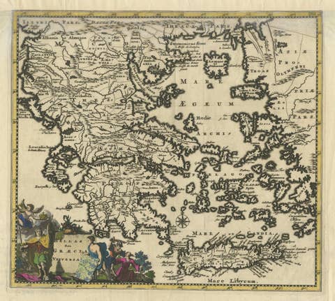
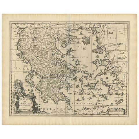
Hellas seu Graecia Universa is a finely detailed late-17th-century map of Greece and the Aegean world, issued by Philipp Cluver around 1697 (possibly 1694). The map was published in Introductio in Universam Geographiam, Cluver’s influential geographical handbook that shaped European understanding of classical and contemporary geography for more than a century.
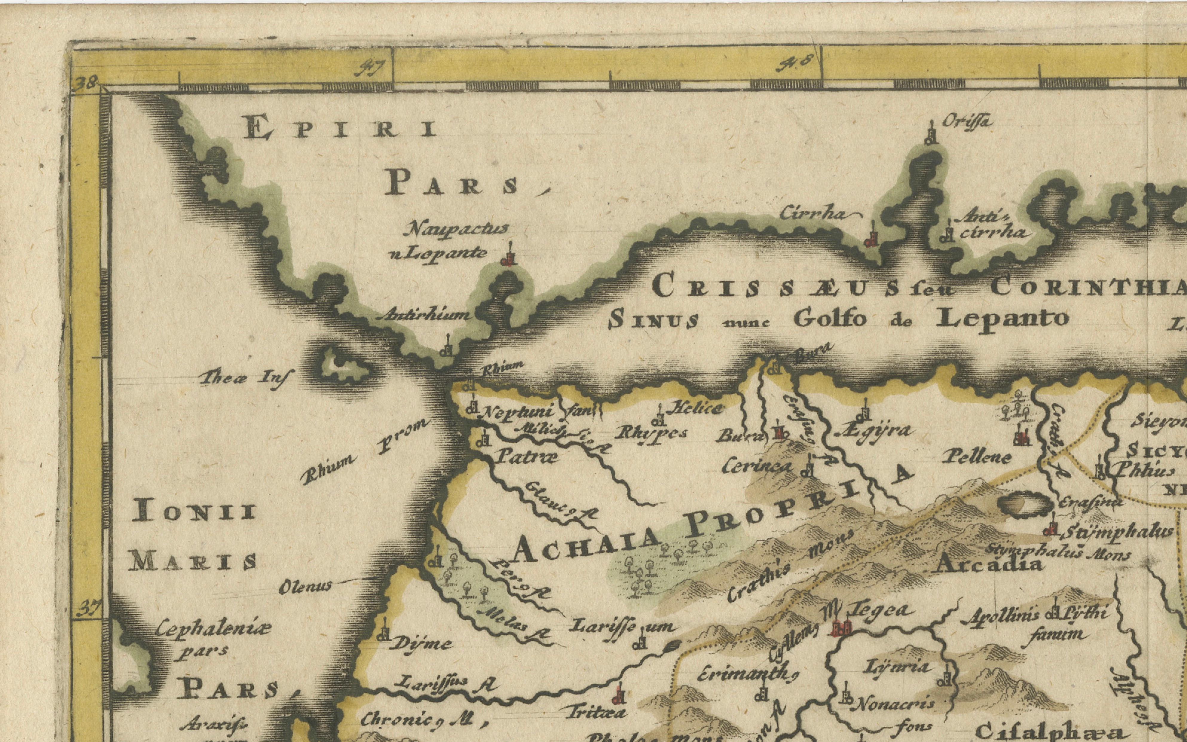
The map presents a comprehensive view of the Greek mainland, the Peloponnese, Crete (Candia), and the densely articulated island world of the Aegean Sea. Ancient regional names—such as Thessalia, Macedonia, Epirus, Achaia, and Laconia—are prominently shown, reflecting Cluver’s pioneering approach of combining classical sources with modern geographic knowledge. This synthesis made his work particularly valued by scholars of antiquity, historians, and educated collectors throughout Europe.
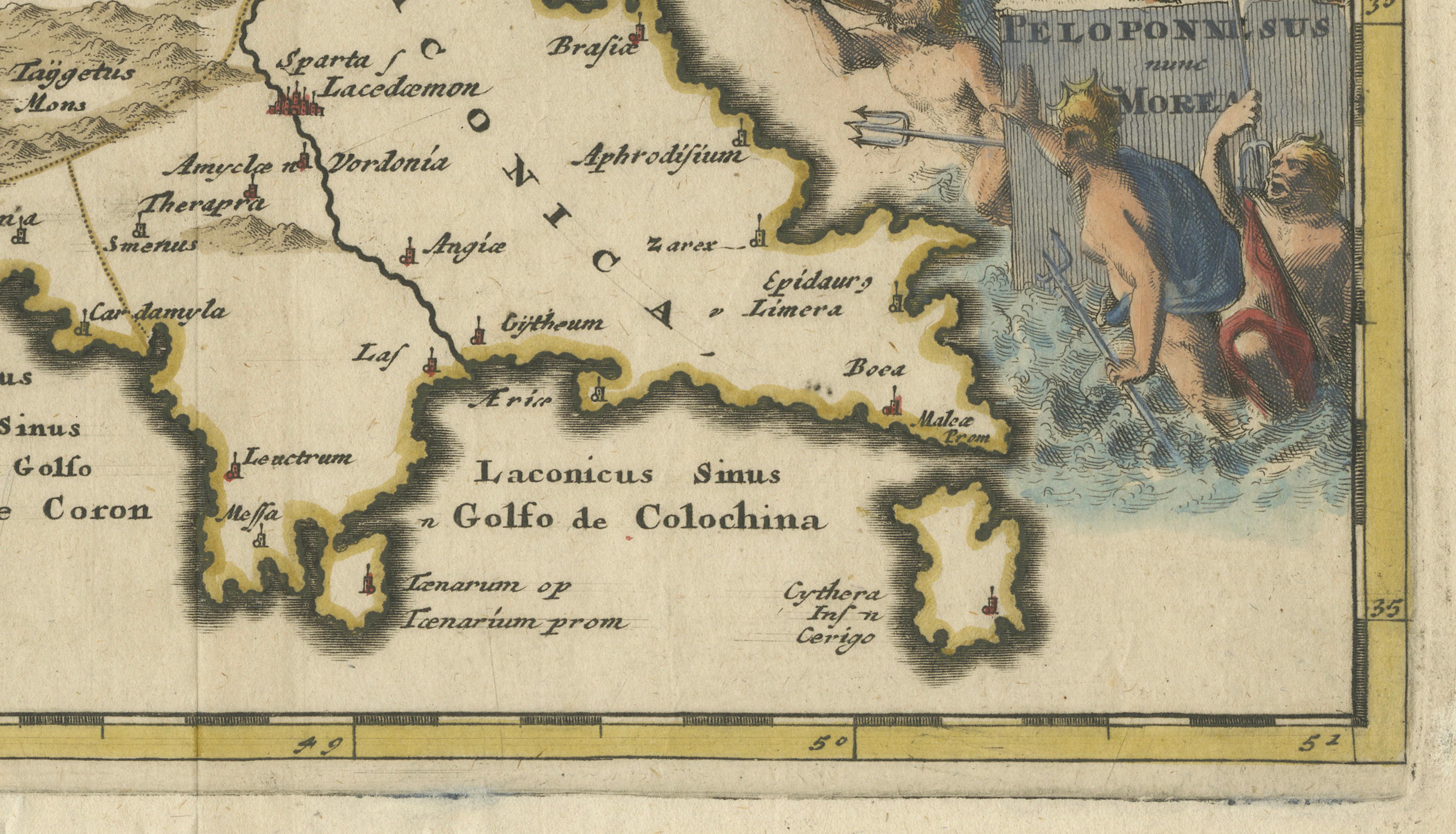
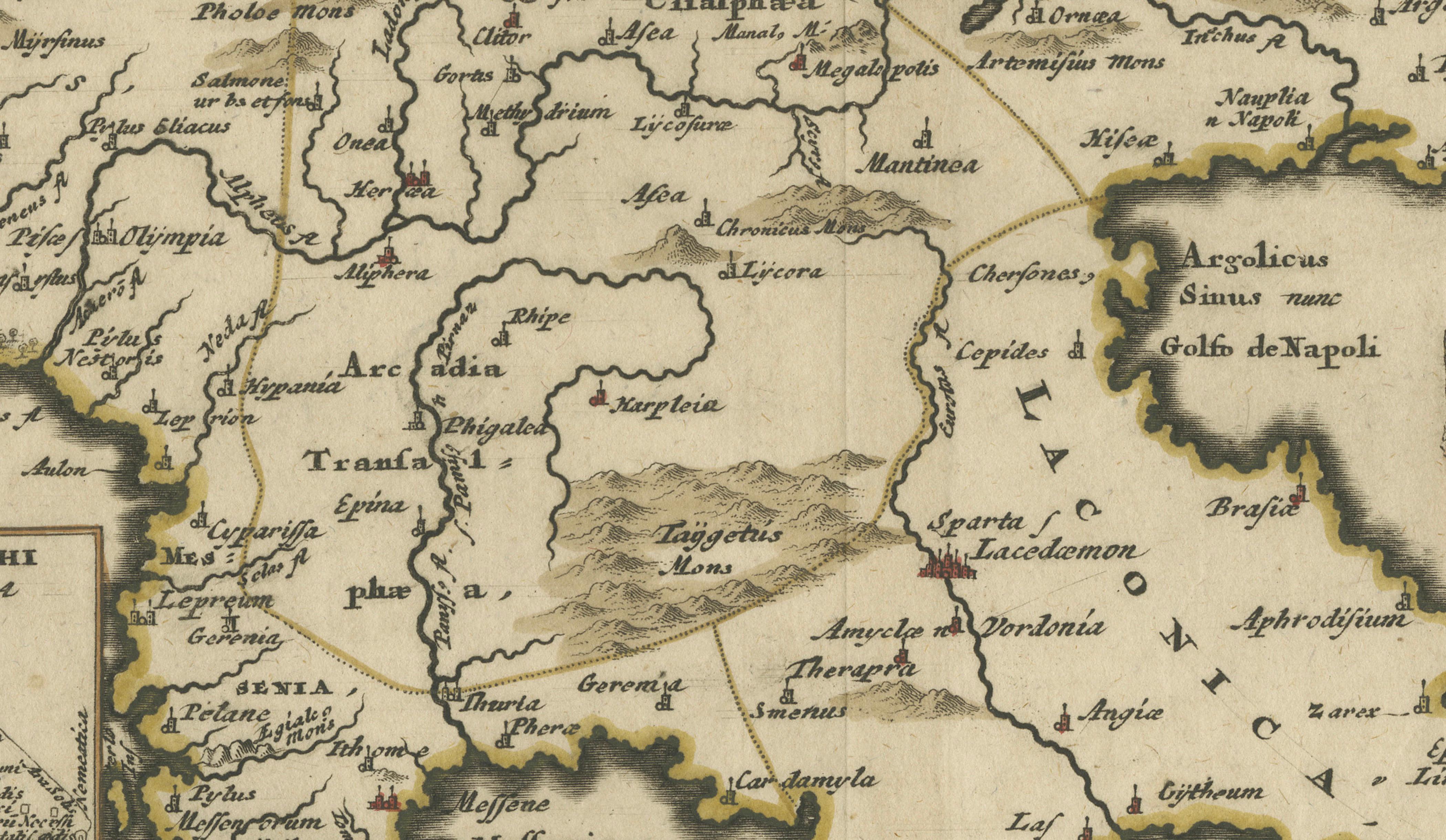
Cartographically, the engraving is rich and precise, with deeply indented coastlines, clearly engraved mountain ranges, and an intricate hydrographic network. The Aegean archipelago is rendered with exceptional density, giving the map strong visual rhythm and decorative appeal. A compass rose provides orientation, while the allegorical title cartouche—populated by classical figures—reinforces the learned, humanist character of the work and anchors it firmly within the intellectual traditions of the Dutch Golden Age of cartography.
This example is attractively hand colored, adding warmth and depth to the engraved lines without obscuring detail. Issued in numerous editions across major European publishing centers such as Amsterdam, Nuremberg, and London, Cluver’s Introductio became one of the most widely disseminated geographic works of the 17th century, and maps such as this were central to its success.
Today, Hellas seu Graecia Universa is appreciated both as a scholarly map of classical Greece and as a highly decorative wall piece. It appeals equally to collectors of antique maps, classicists, and interior designers seeking an image that conveys learning, history, and visual complexity.
Condition report: Generally good for a 17th-century engraving. Light age toning and minor handling wear, consistent with age. Plate mark visible.
Framing tips: A dark walnut or ebonized frame with a warm ivory or parchment mat emphasizes the engraving and hand color; alternatively, an antique gold frame with a narrow profile enhances the classical character of the cartouche.
Technique: Copper engraving with hand color
Maker: Philipp Cluver, published in Europe, ca. 1697