Maps & PrintsBartele Gallery · Langweer
Home / Antique Maps / America / South America

South America · 18th century

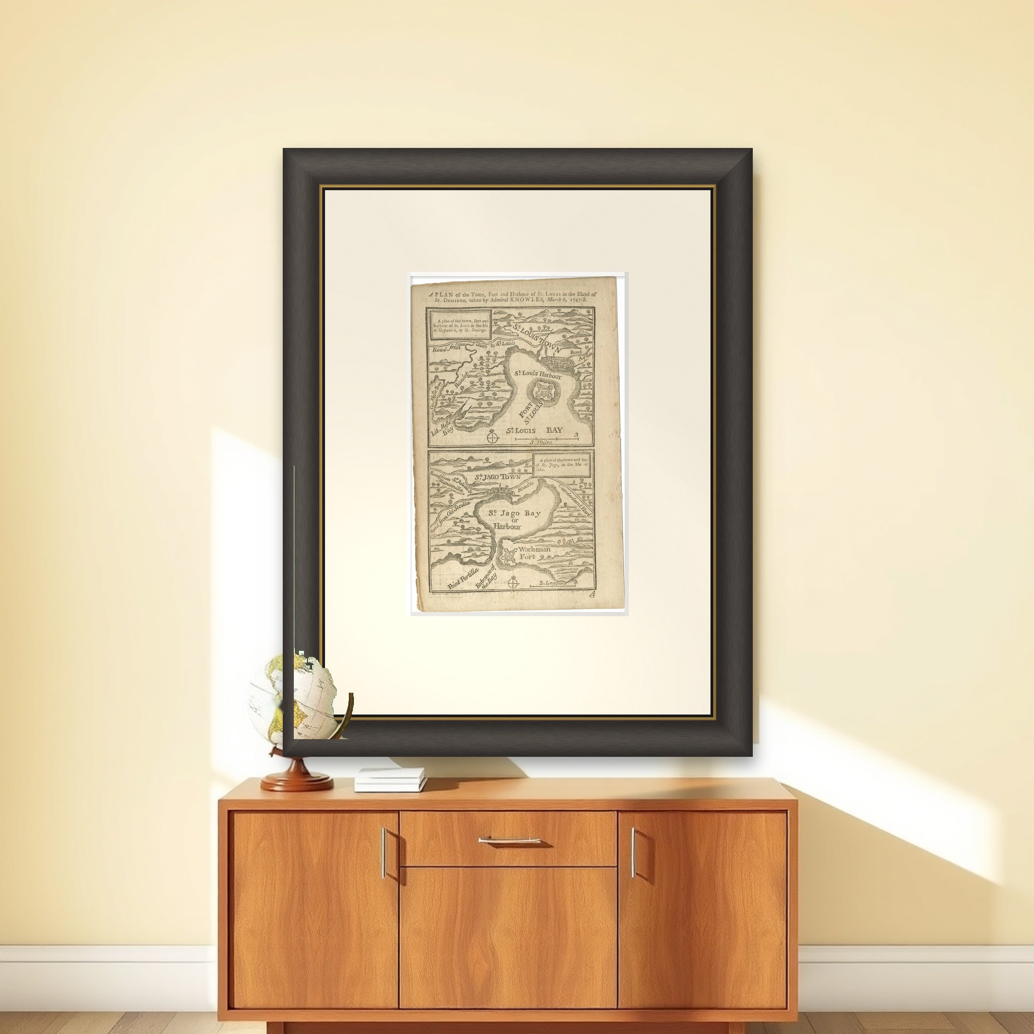
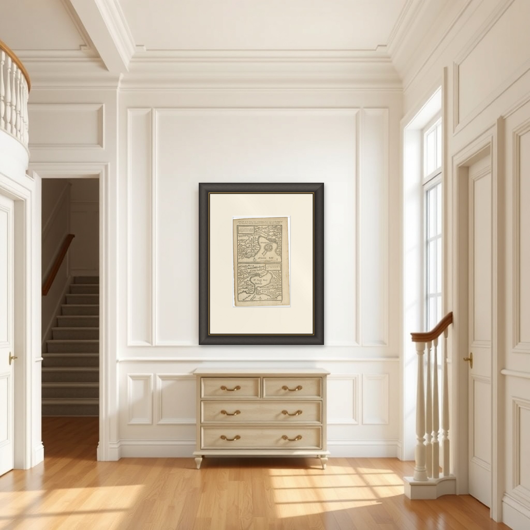
Antique Map of Fort Saint Louis and Santiago de Cuba, 1748

€ 190

Original antique · The actual sheet photographed · Certificate of authenticity on request · Sold unframed · Worldwide shipping from € 15 (rates)

Date
1748
Sheet size
20 × 12.5 cm (7.9 × 4.9 in)
Condition
Good
Reference
BG-09366
What the condition grades mean
Excellent
Bright and clean, with no faults worth mentioning.
Very good
Only light signs of age, such as faint toning.
Good
Normal signs of age for a sheet of this period: toning, some foxing, small marks or neat old repairs.
Fair
Clear faults such as staining, tears or repairs, priced to match.

Every fault we see is written in the condition note, and the whole sheet is shown uncropped in the photos.
About this sheet

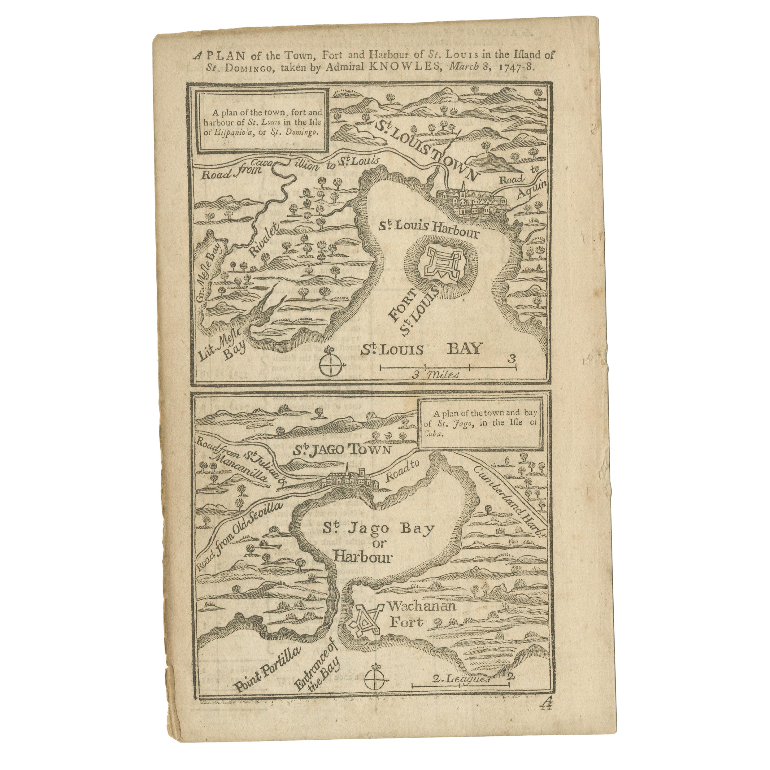
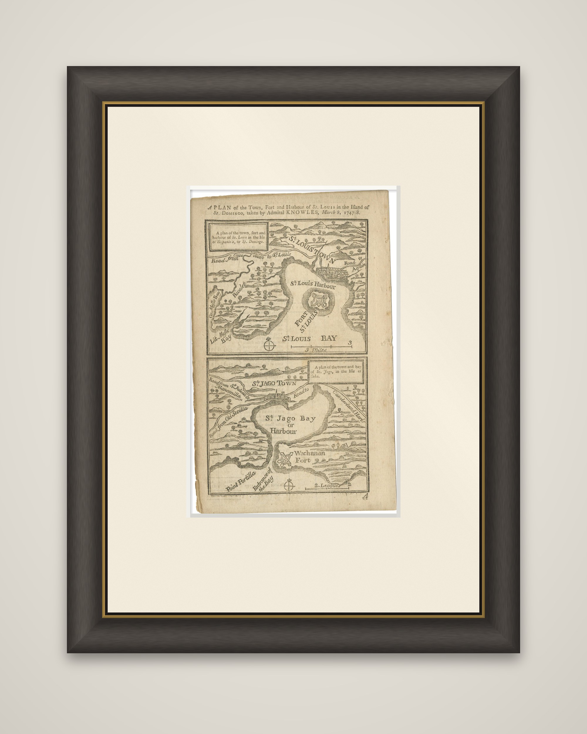
Two small plans of Caribbean harbors on one page, an original antique print from The London Magazine, 1748. The upper plan is lettered "A Plan of the Town, Fort and Harbour of St. Louis in the Island of St. Domingo, taken by Admiral Knowles, March 8, 1747-8," and the lower plan shows "A plan of the town and bay of St. Jago, in the Isle of Cuba." The earlier catalog entry describes the pair as woodcut maps.

The upper plan shows St. Louis Town, its harbor and Fort St. Louis on the bay, with roads leading inland, and small bays and a river drawn in the hills behind. The lower plan shows St. Jago Bay, or Harbour, with St. Jago Town at the head of the bay, Wachanan Fort at the entrance beside Point Portilla, and roads running to other settlements. Each plan carries a compass mark and a scale of miles.

The plans illustrate Admiral Sir Charles Knowles's successful attack on Fort Saint Louis in Saint-Domingue and his unsuccessful attempt on Santiago de Cuba during the War of the Austrian Succession, shortly before the Battle of Havana. English text is printed on the reverse.

More from South America

Ask about this sheet

Antique Map of Fort Saint Louis and Santiago de Cuba, 1748
1748 · Ref. BG-09366 · € 190
We reply by email, usually within one working day.

Your favorites

Saved in this browser. Email the list to yourself to keep it on any device.

We use your email to send this list and, only if you tick the box and confirm, for occasional new arrivals. Every email has an unsubscribe link. Bartele Gallery, the Netherlands.