About this sheet
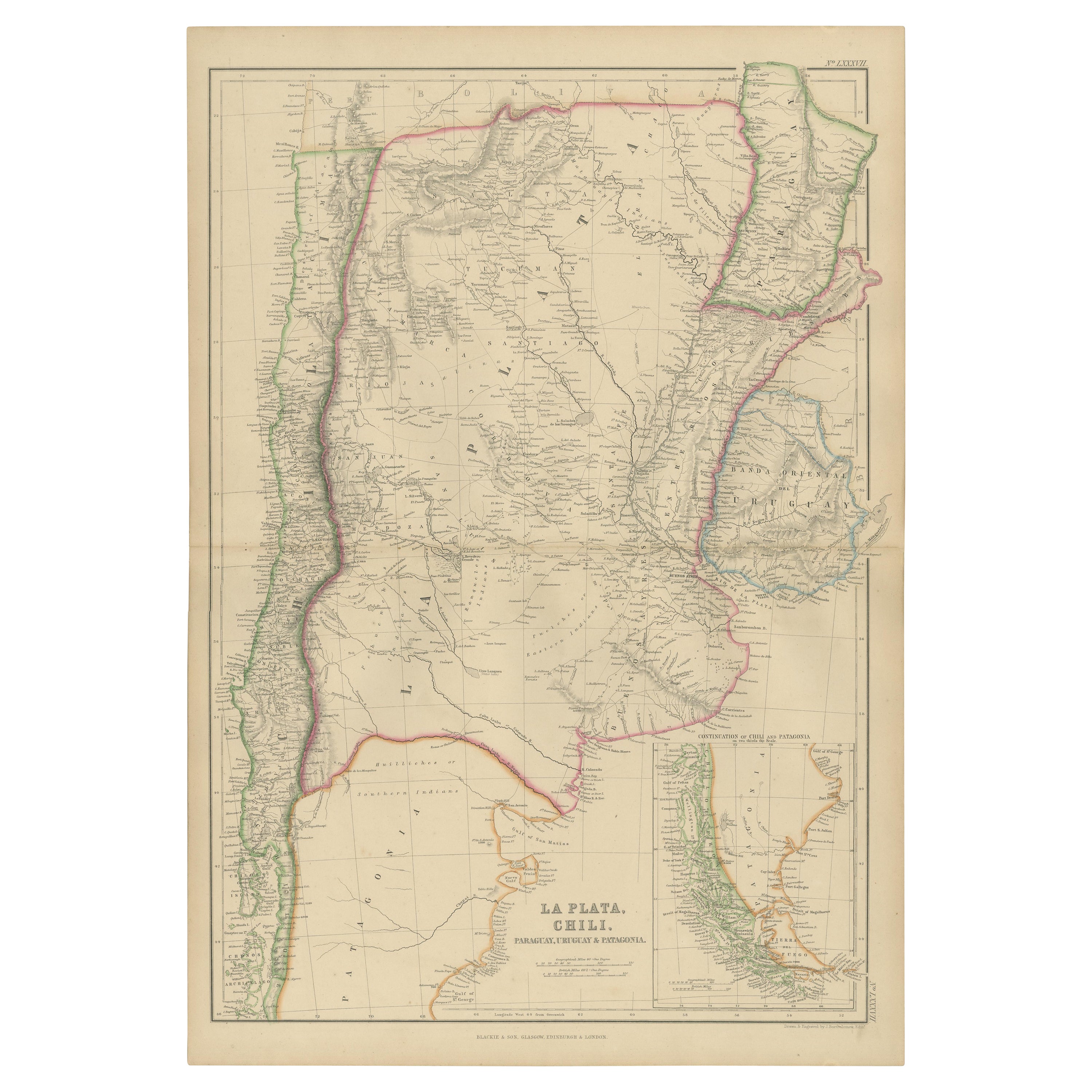
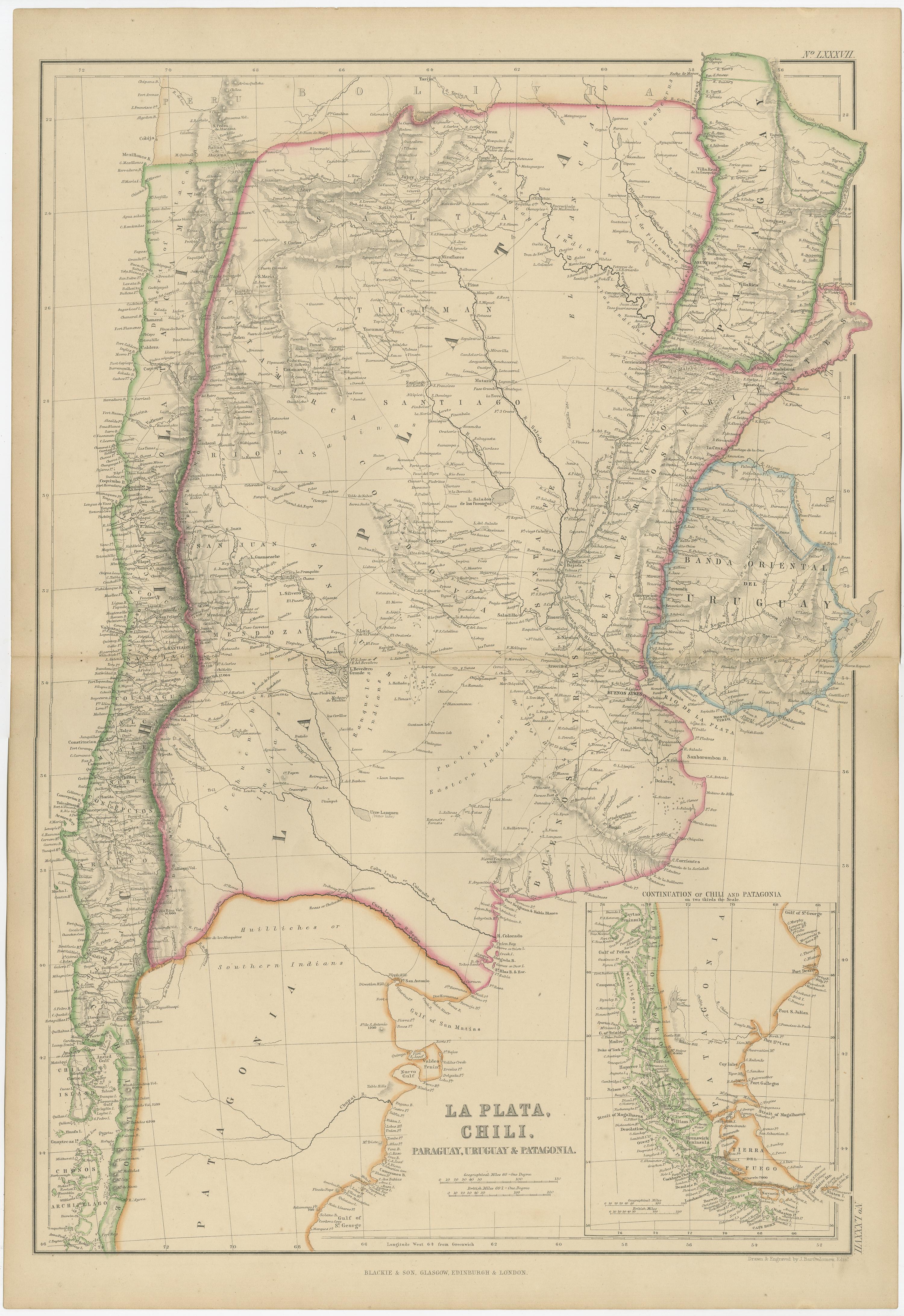
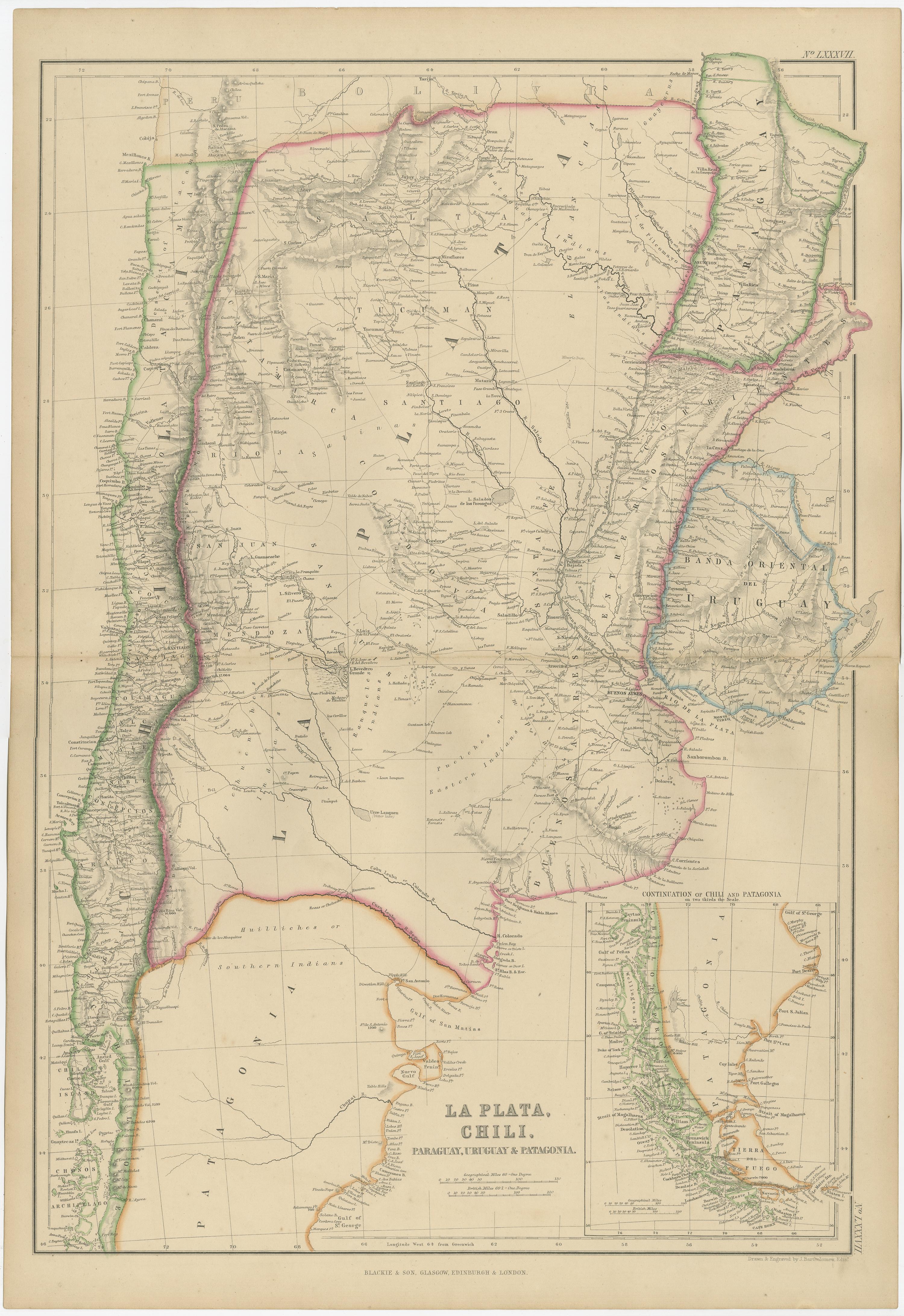
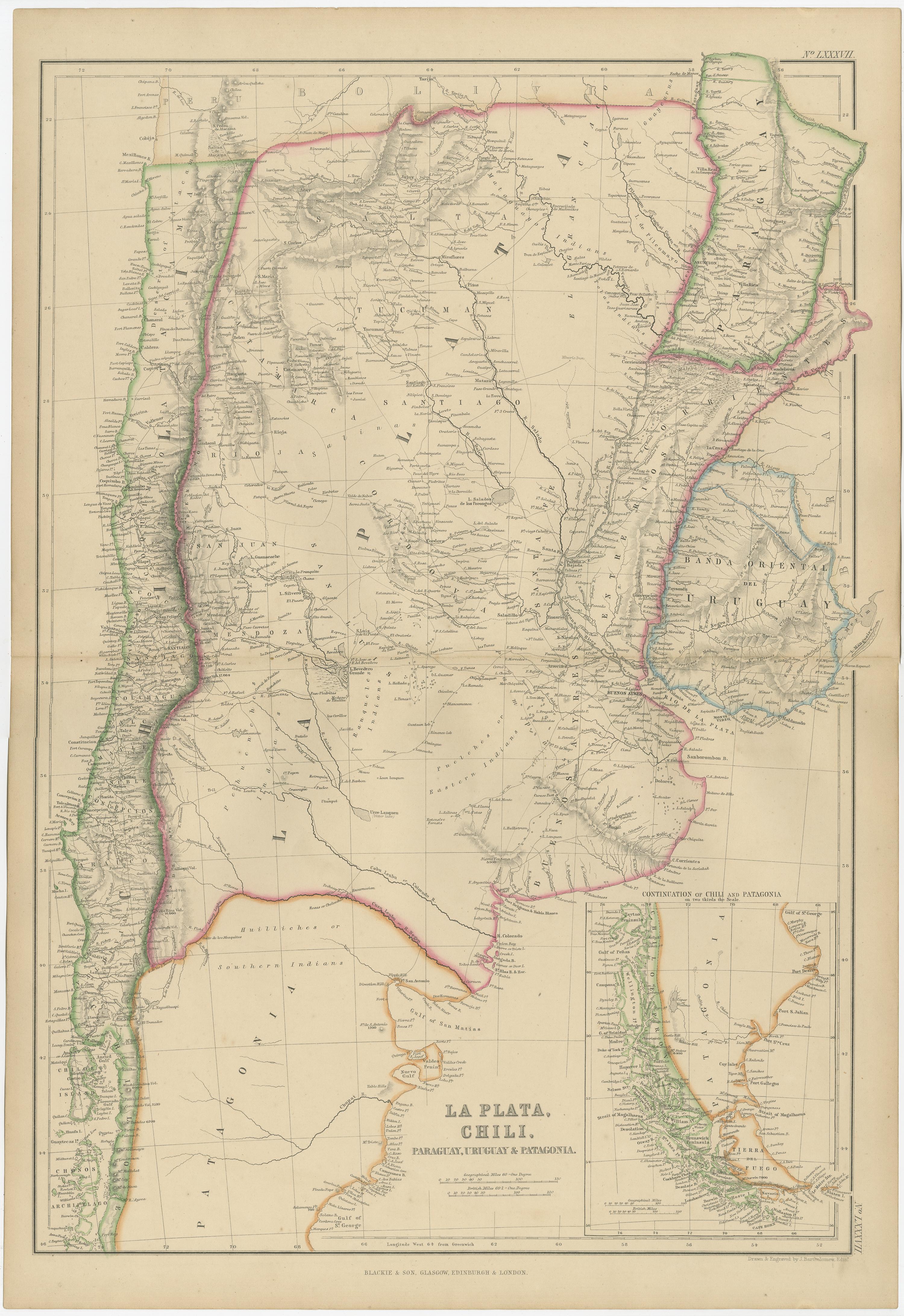
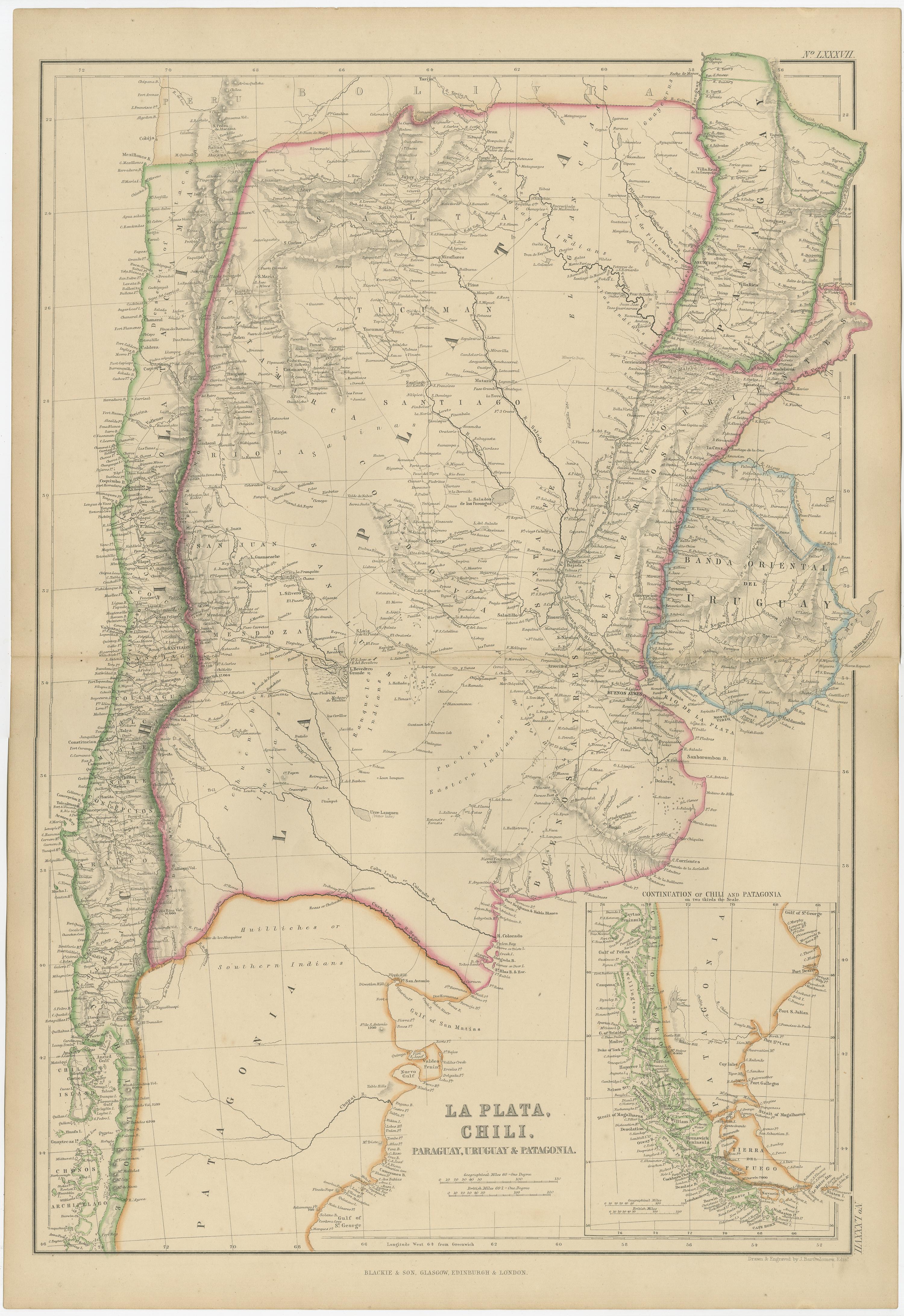
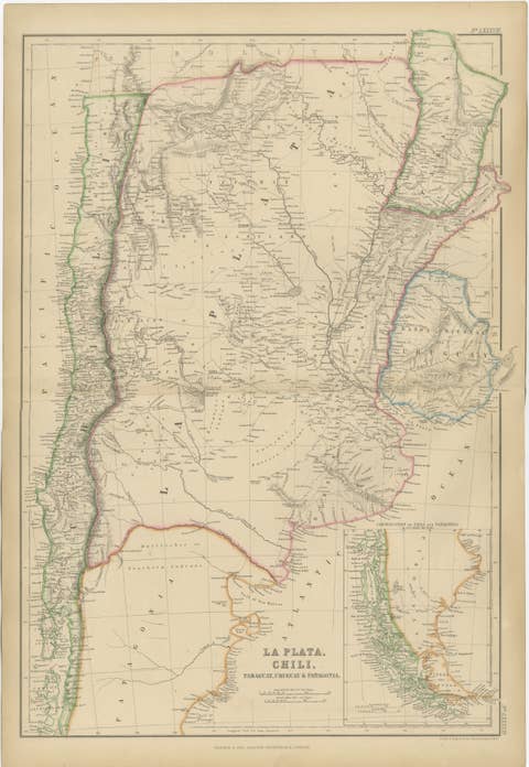
La Plata, Chile, Paraguay, Uruguay and Patagonia, Antique Map, Blackie 1859
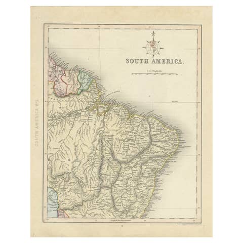
This original antique map titled La Plata, Chili, Paraguay, Uruguay and Patagonia presents a detailed mid-19th-century cartographic view of southern South America. It originates from The Imperial Atlas of Modern Geography and was published in 1859 by W. G. Blackie, one of the most influential British atlas publishers of the period.
The map covers a vast geographic area including Chile along the Pacific coast, the Argentine territories of La Plata and Patagonia, as well as Paraguay and Uruguay. National and regional boundaries are clearly defined with original hand coloring, while the engraved detail records mountain ranges, river systems, settlements, and transport routes. The Andes Mountains form a dramatic natural spine along the western edge, while the river networks of the Paraná, Paraguay, and Uruguay rivers dominate the interior, emphasizing the importance of waterways in regional geography and trade.
An inset map in the lower right corner shows the continuation of Chile and Patagonia further south, extending toward Tierra del Fuego and the Strait of Magellan. This additional panel enhances both the geographic completeness and visual interest of the sheet, reflecting contemporary European fascination with the southernmost regions of the continent.
The overall composition is balanced and refined, combining dense geographic information with generous open areas. The subtle hand coloring and fine engraving give the map strong decorative appeal while preserving its scholarly character. It is equally suited to collectors of South American cartography and to interior designers seeking a large-scale, historically grounded wall map.
Condition report:
Good antique condition. Light overall age toning consistent with period. Minor scattered foxing and light handling marks, primarily visible in the margins. Original central fold as issued. No major tears or losses.
Framing tips:
A wide ivory or warm cream mat will enhance the engraved detail and original hand coloring. A dark walnut, black, or understated antique gilt frame complements the academic and exploratory character of the map. Museum or UV-protective glass is recommended.
Technique: Copper engraving with original hand coloring
Maker: W. G. Blackie, Scotland, 1859
Keywords:
La Plata map, Chile, Chili, Patagonia, Paraguay, Uruguay, Buenos Aires, Montevideo, Santiago de Chile, Andes Mountains, Rio de la Plata, Paraná River, Uruguay River, Pampas, Tierra del Fuego, Strait of Magellan, South America map, 19th century atlas, Blackie, Imperial Atlas