About this sheet
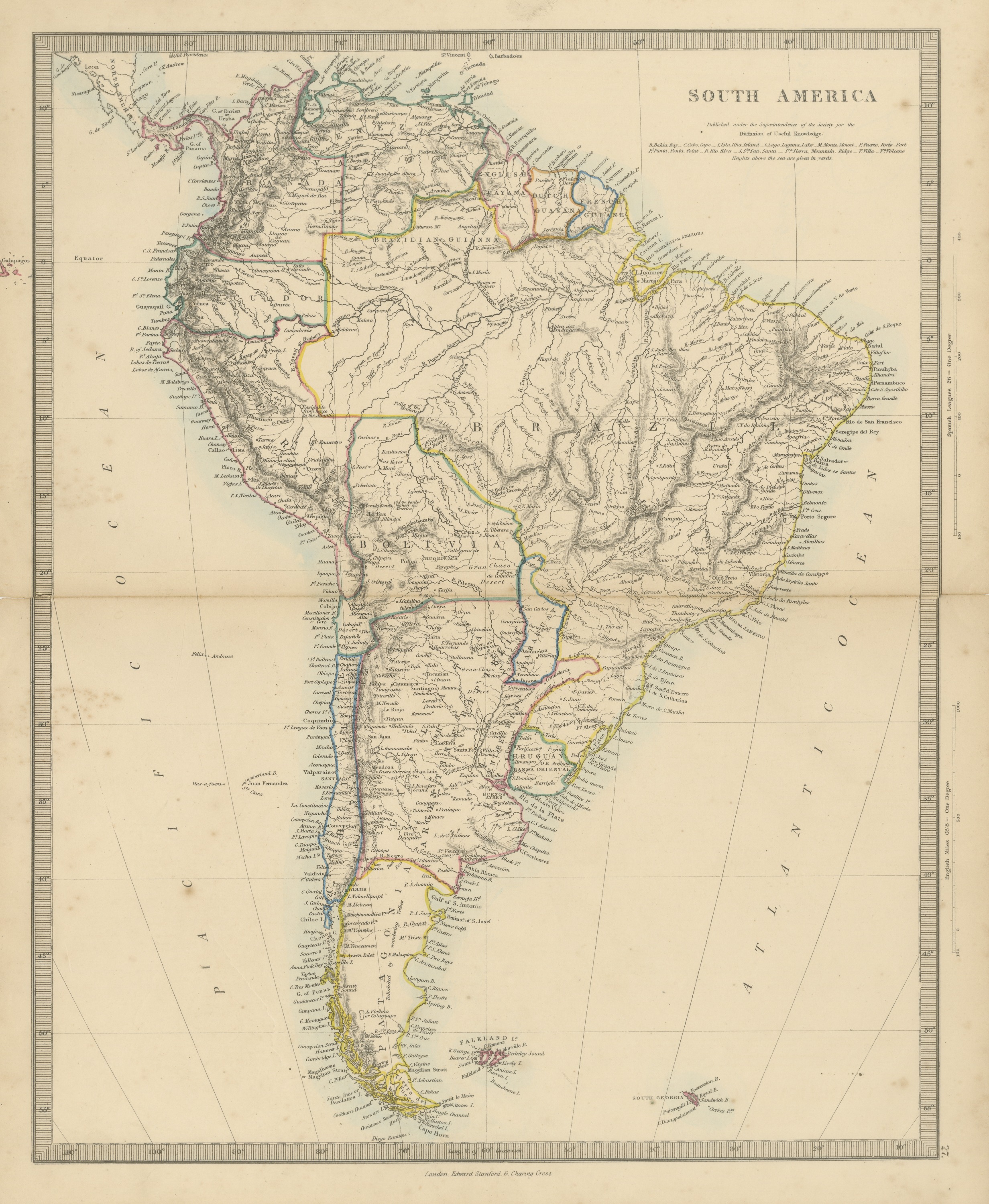
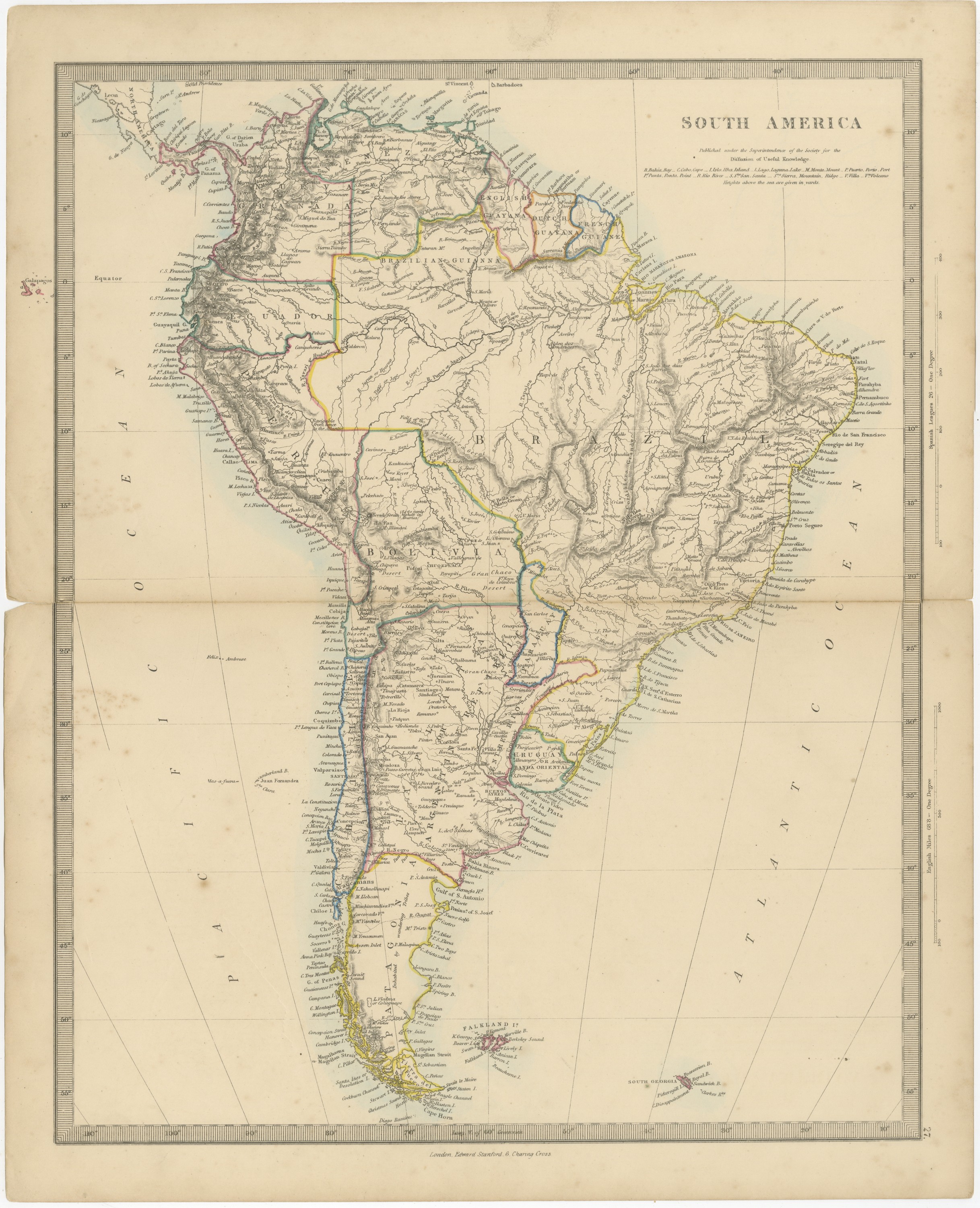
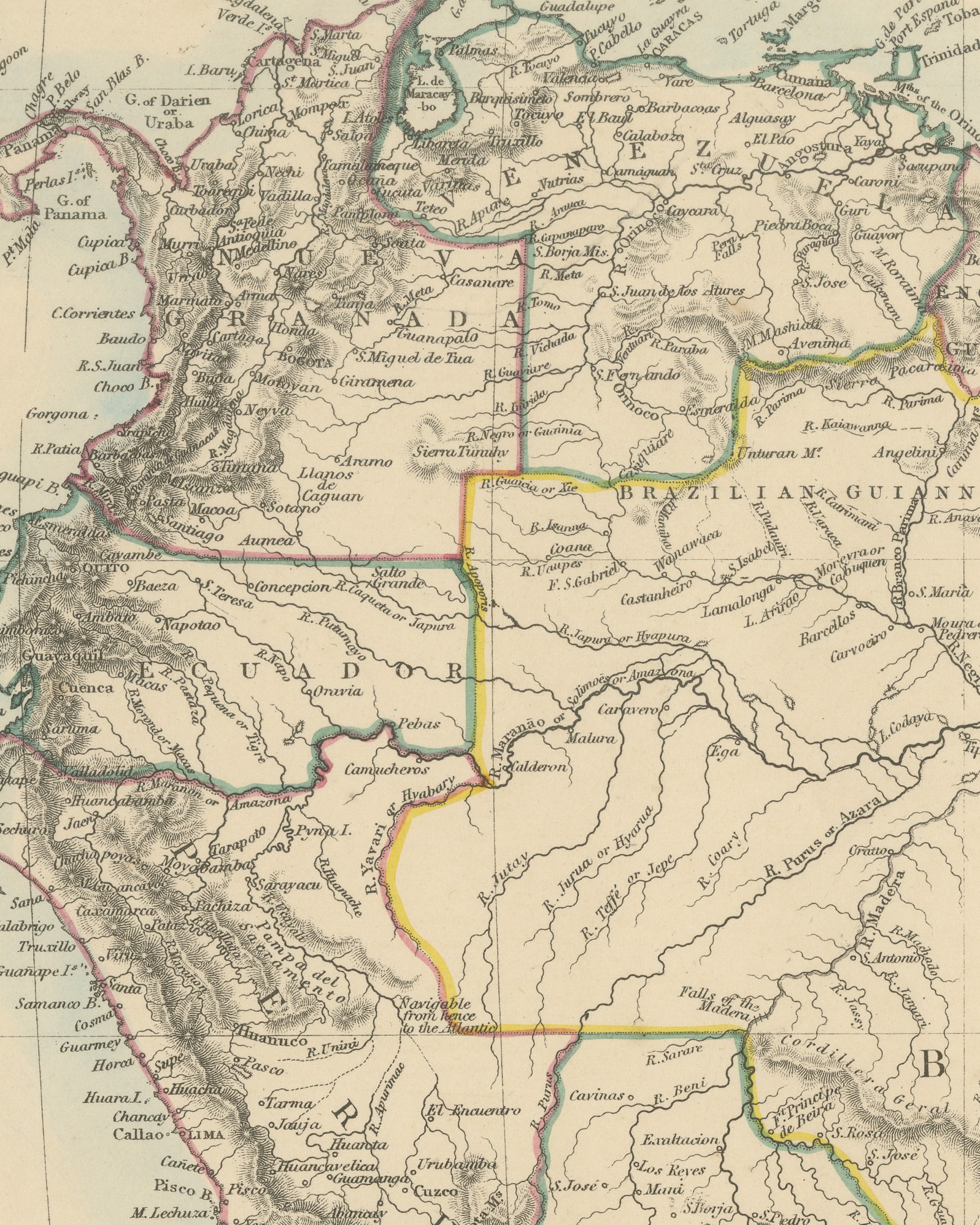
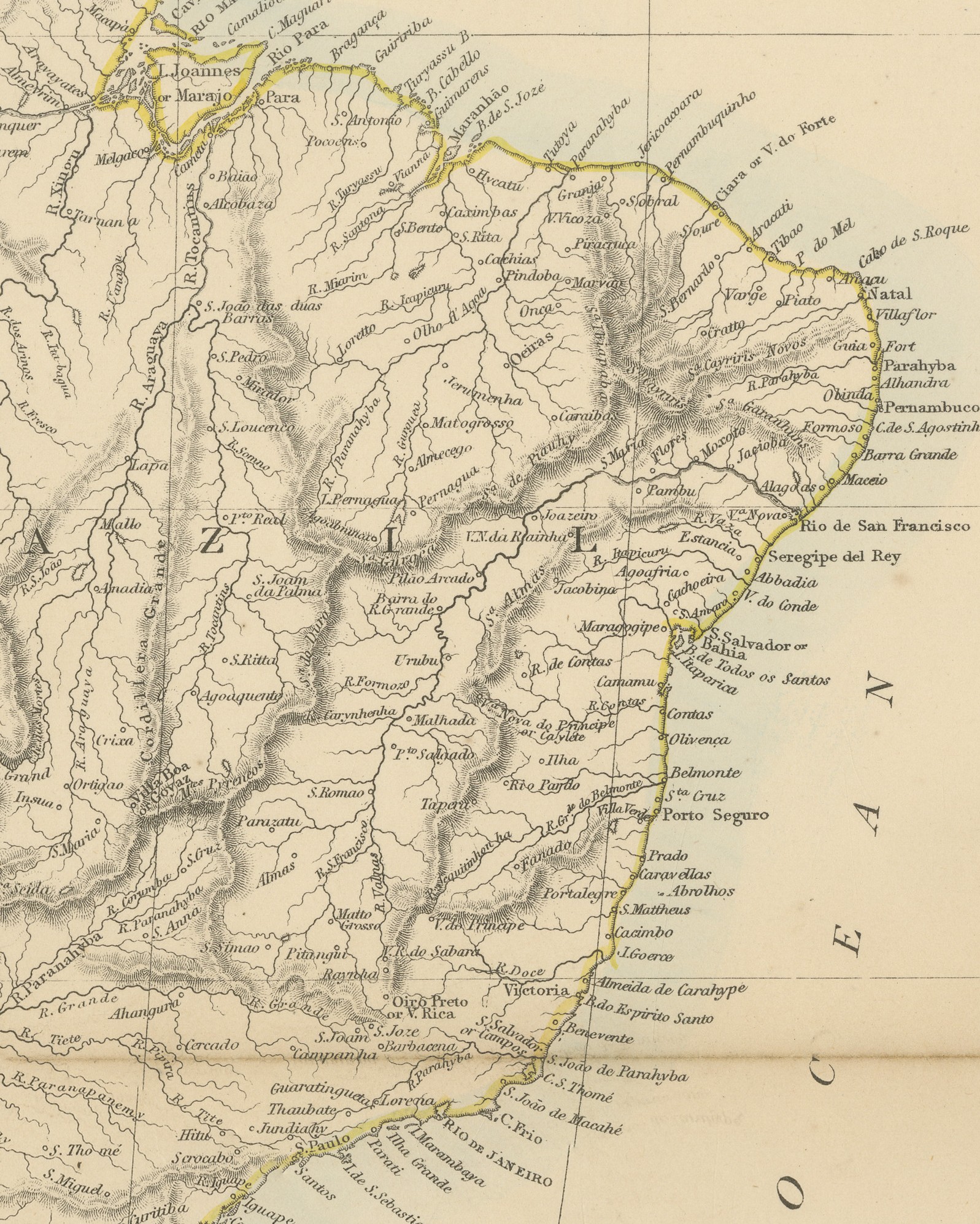
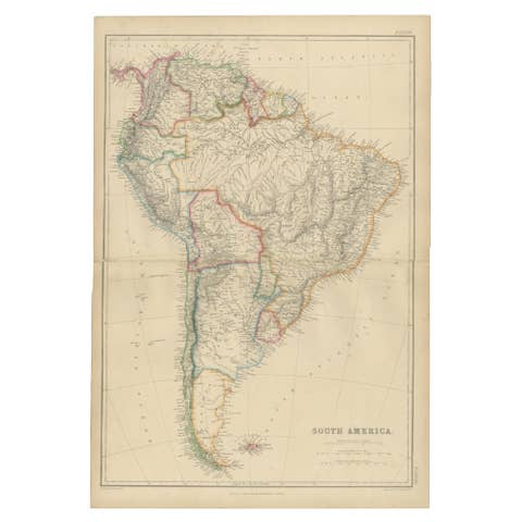
Original antique map of South America, a steel engraving colored by hand, with the lettered title "SOUTH AMERICA". The map shows the whole continent from Panama and the Caribbean coast to Cape Horn, with the Falkland Islands and South Georgia in the South Atlantic and the Galápagos printed just outside the left border. Nueva Granada, Venezuela, the English, Dutch and French Guianas, Ecuador, Peru, Bolivia, Chile, the Argentine Republic, Paraguay, Uruguay or Banda Oriental, Patagonia and Brazil are named. The color is in outline, with each state distinguished in pink, green, blue or yellow, and a pale blue wash along the coasts.
The title is followed by "Published under the Superintendence of the Society for the Diffusion of Useful Knowledge." and a key of abbreviations that gives Spanish and Portuguese terms beside the English, such as "B. Bahia, Bay", "C. Cabo, Cape" and "R. Rio, River", with the note "Heights above the sea are given in yards." The right margin carries two scales, "Spanish Leagues 26 = One Degree" and "English Miles 68.8 = One Degree", and the lower border is marked "Long. W. of Greenwich". Below the border is the imprint "London, Edward Stanford, 6. Charing Cross", and the plate number "27." stands in the right margin.
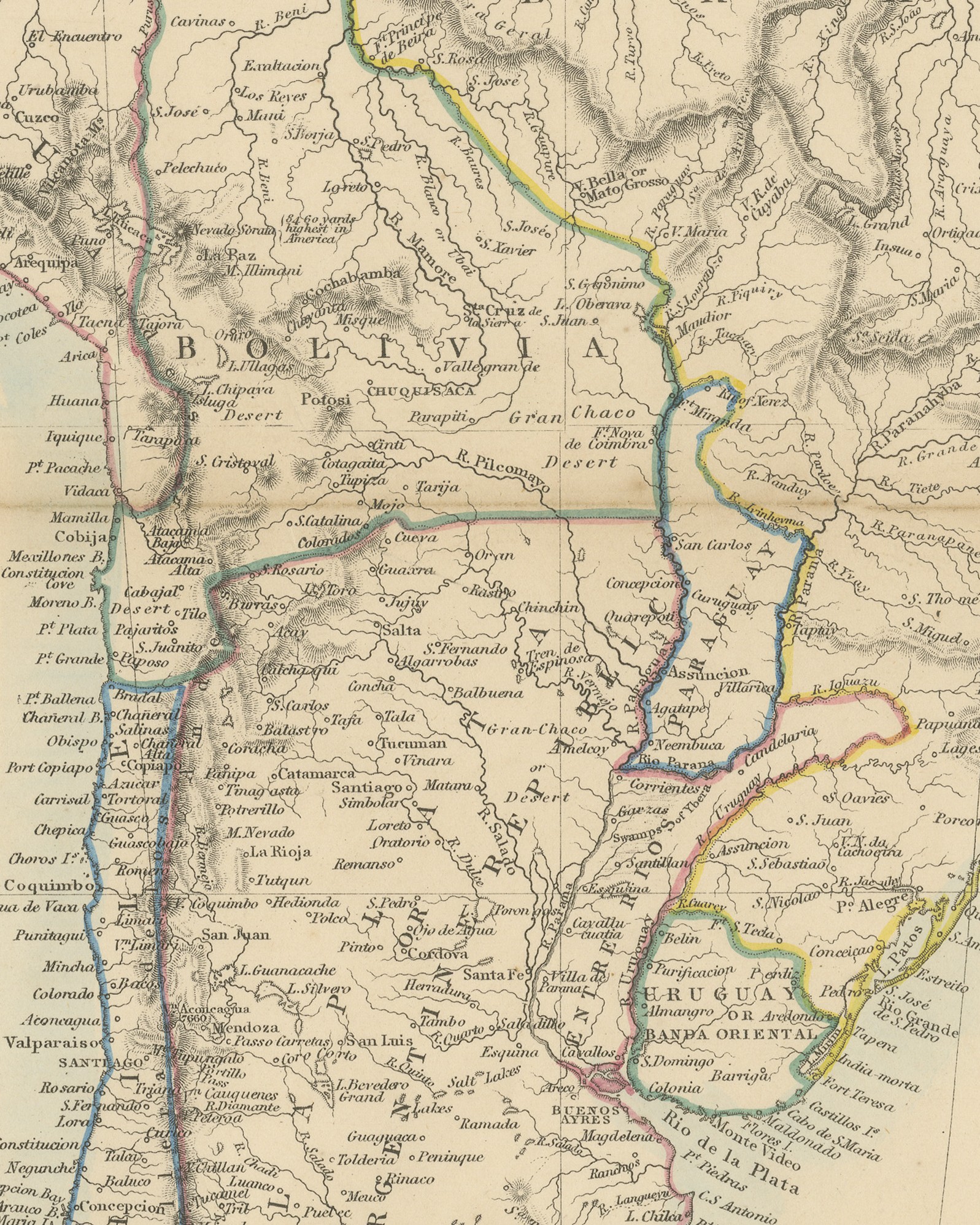
The Harrow Atlas of Modern Geography was published in London by Edward Stanford in 1858 and sold at Harrow by Crossley and Clarke, booksellers to Harrow School. Its maps were selected from those of the Society for the Diffusion of Useful Knowledge, founded in London in 1826, which issued its maps in parts from 1829 and was wound up in 1848; Stanford later issued them under his own imprint, as this sheet shows. On this sheet Bolivia reaches the Pacific coast at Cobija and Atacama, and Uruguay is lettered "Uruguay or Banda Oriental".
A clear continental map for a study, an office or a collection of South American maps.
Condition: Light wear to the top left corner. Age toning, darker at the edges; handling soiling along the edges and scattered foxing in the margins. A center fold, as issued. Printed image clean.
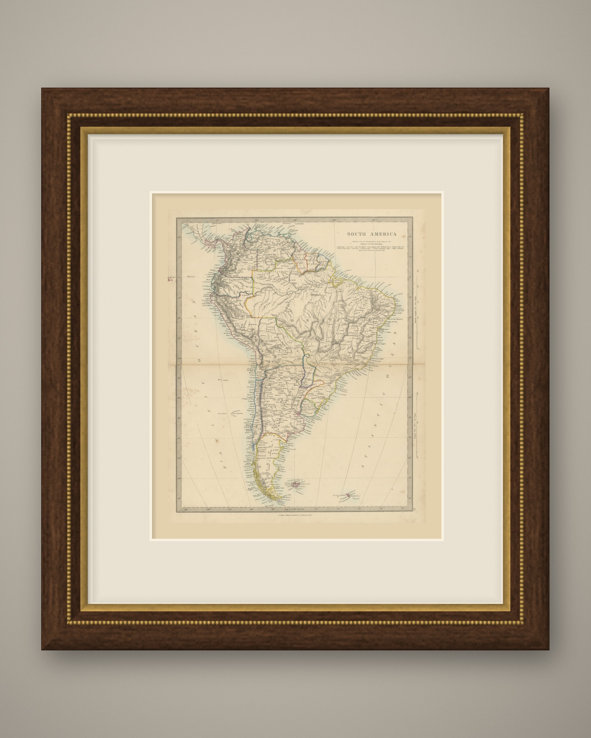
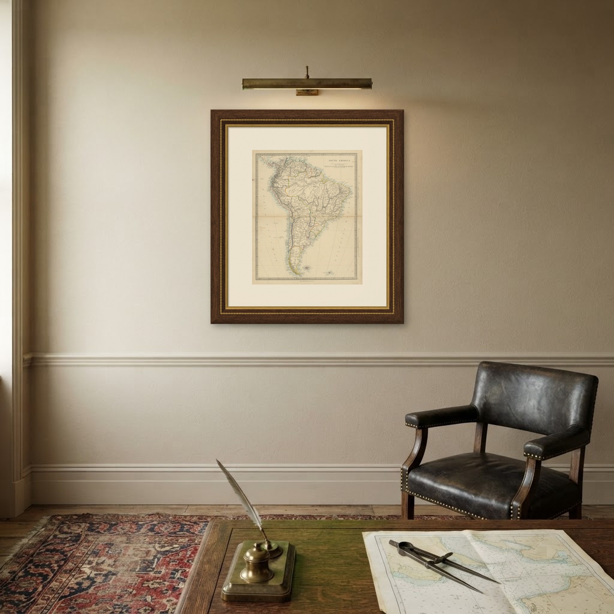
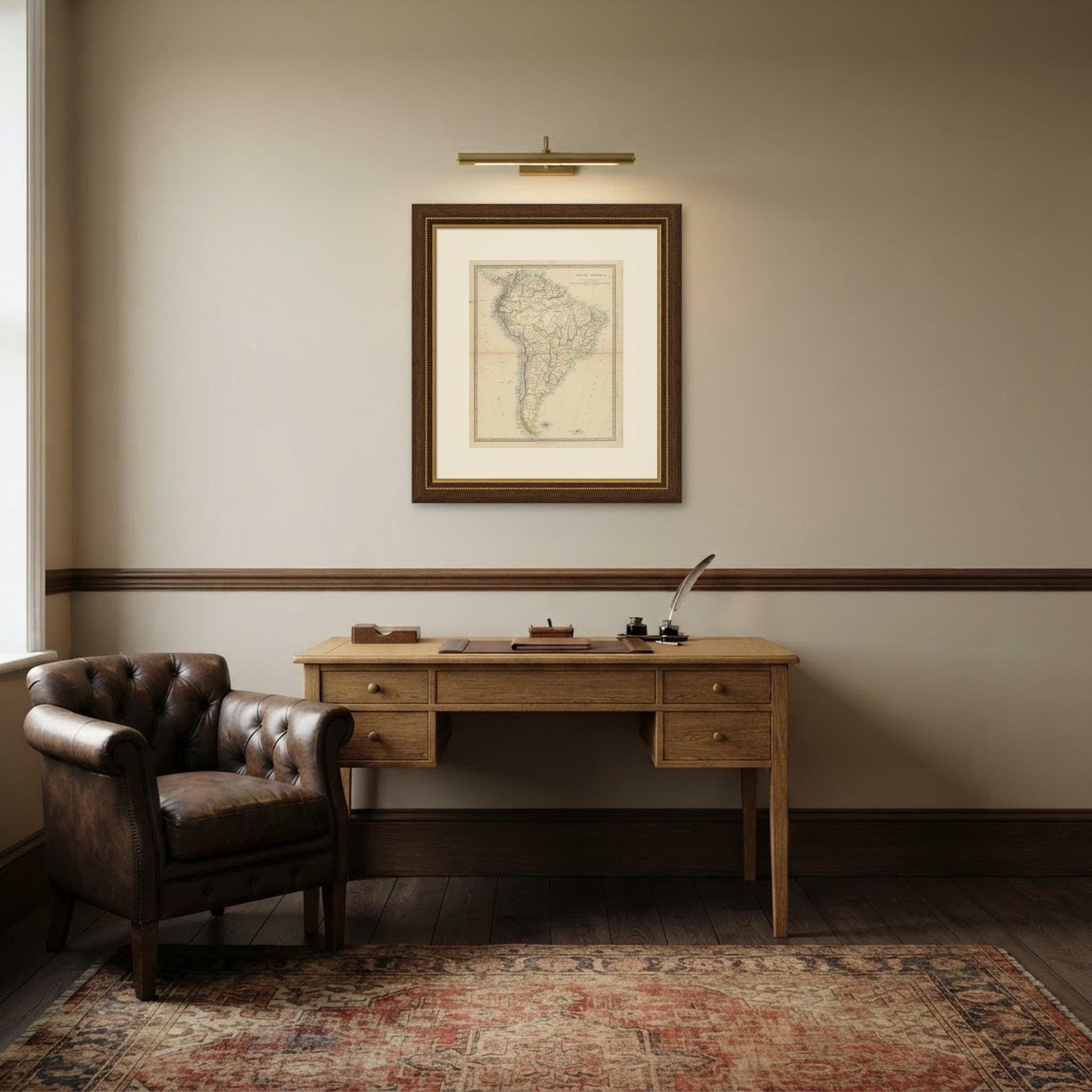
This is an original antique map, not a modern reproduction. This item is sold unframed. Any framed or interior images are shown for presentation and inspiration only, unless the listing explicitly states that the item is sold framed.