About this sheet
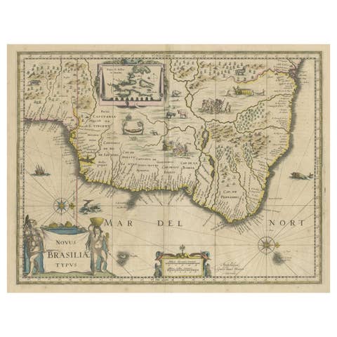
Blaeu Brazil Map, Novus Brasiliae Typus, Antique Hand-Colored Map 1642
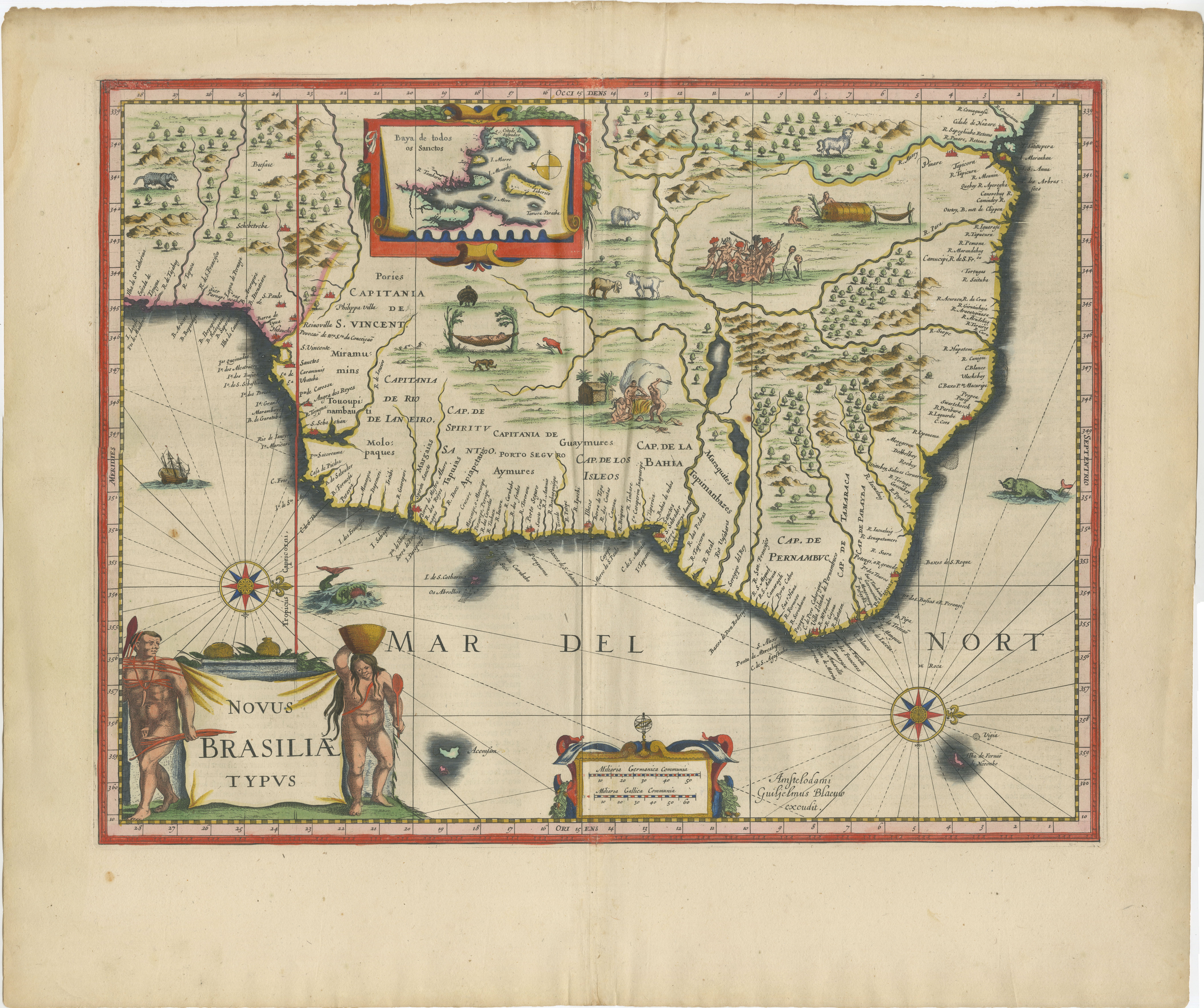
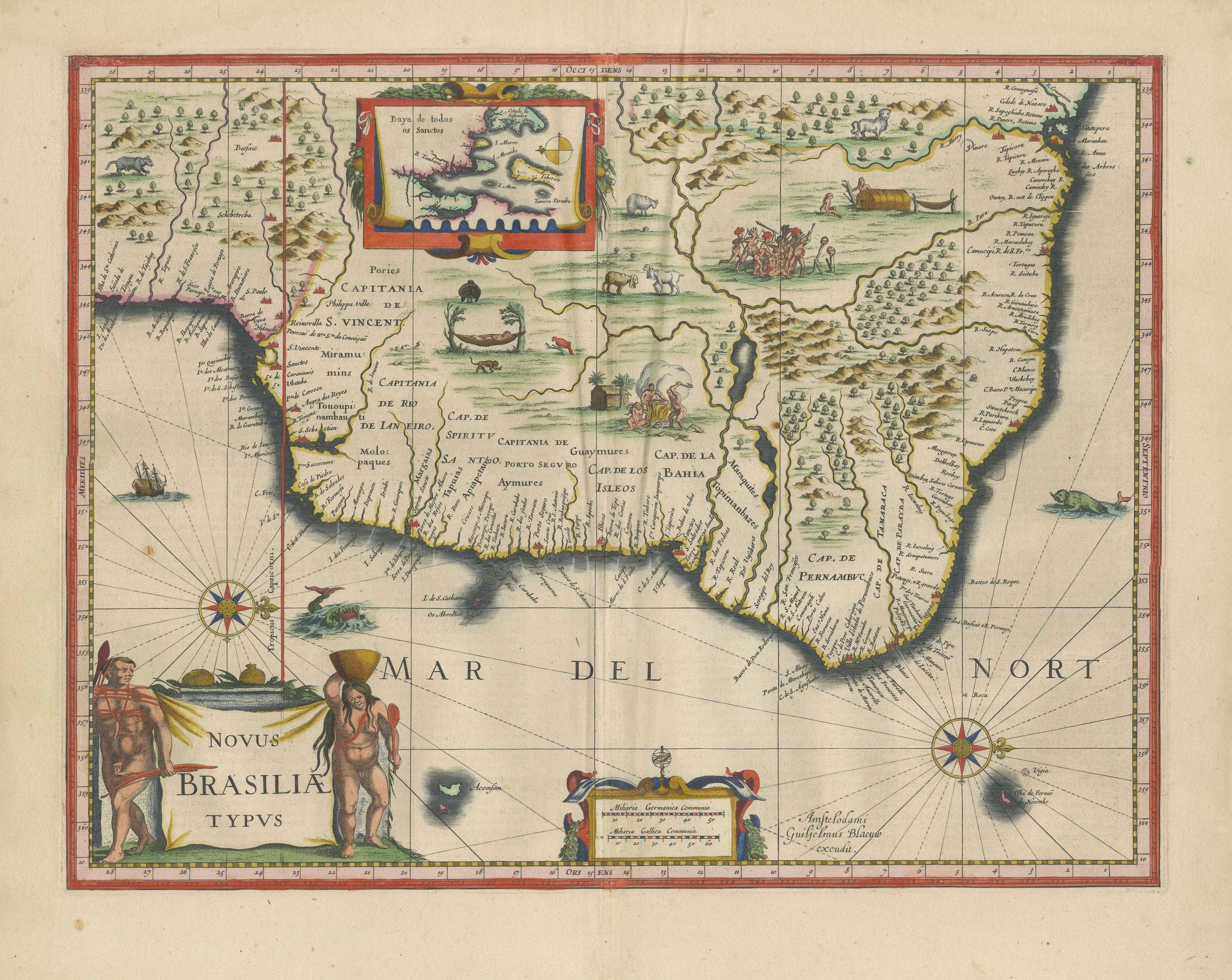
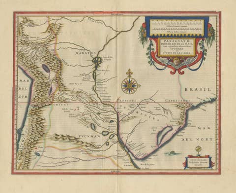
A highly important and visually striking map of Brazil, titled Novus Brasiliae Typus, published by Willem and Joan Blaeu in Amsterdam around 1642. This celebrated map is among the most iconic early representations of Brazil and originates from Blaeu’s renowned atlas Toonneel des Aerdrycx, produced during the golden age of Dutch cartography.
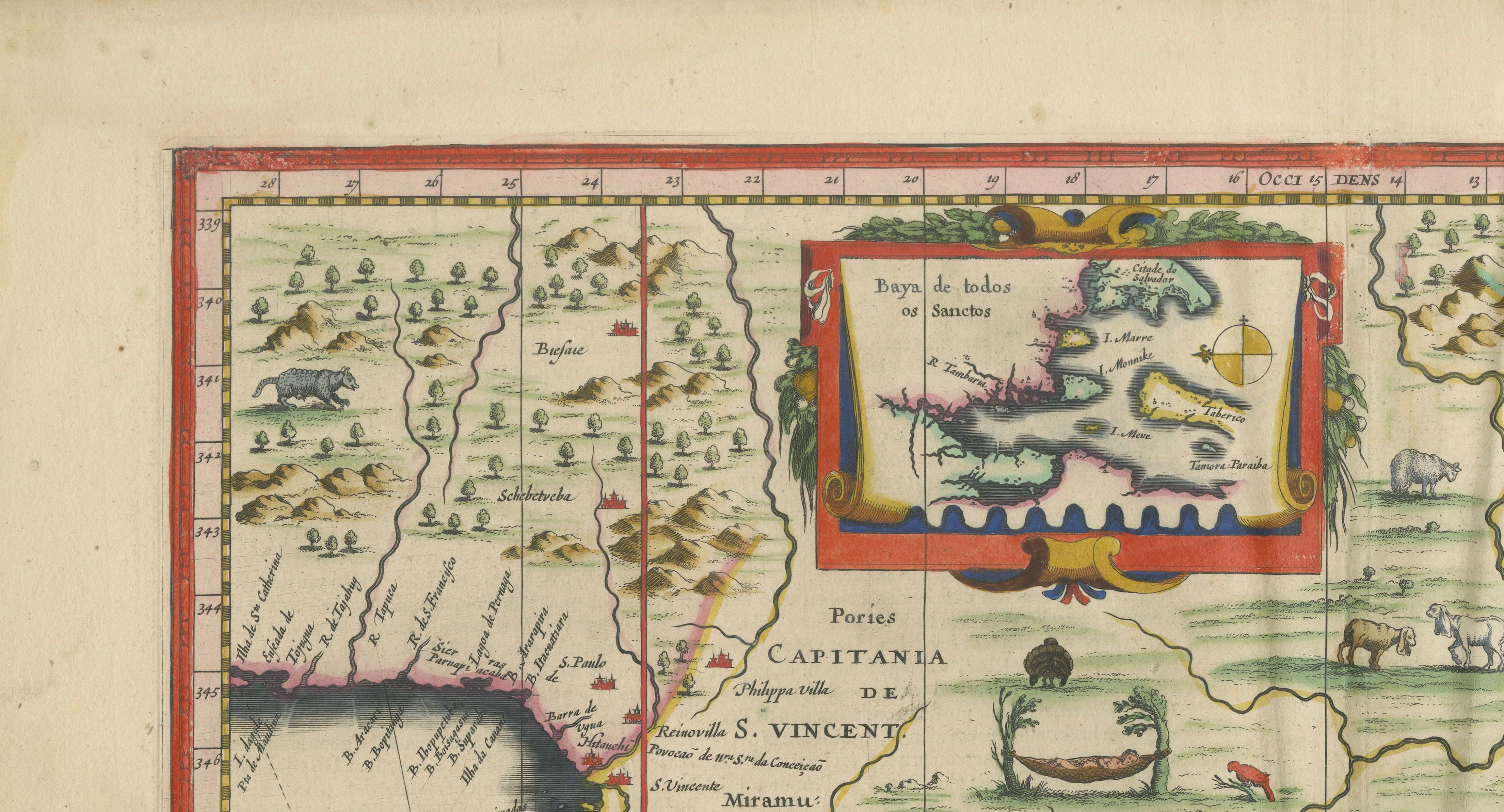
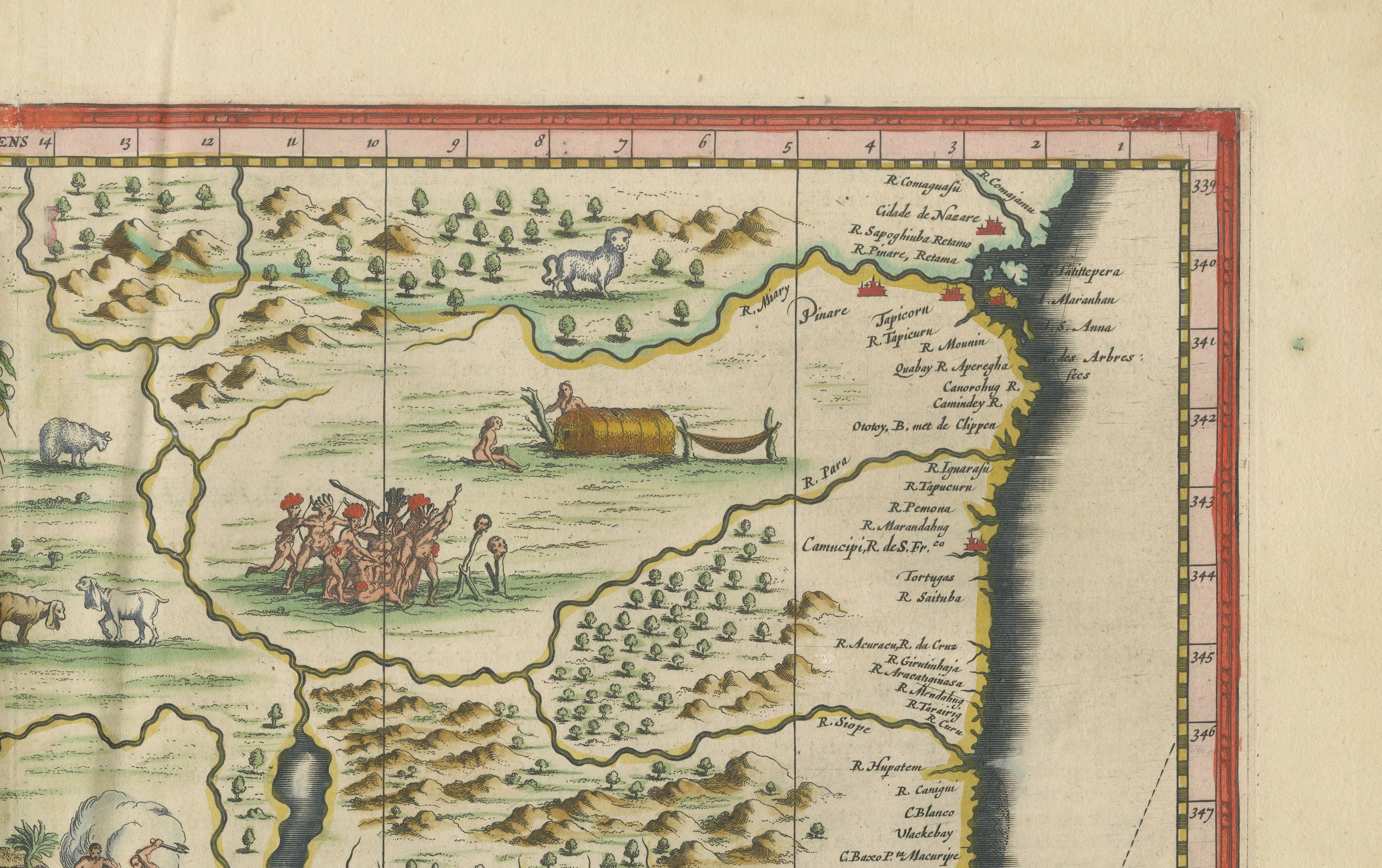
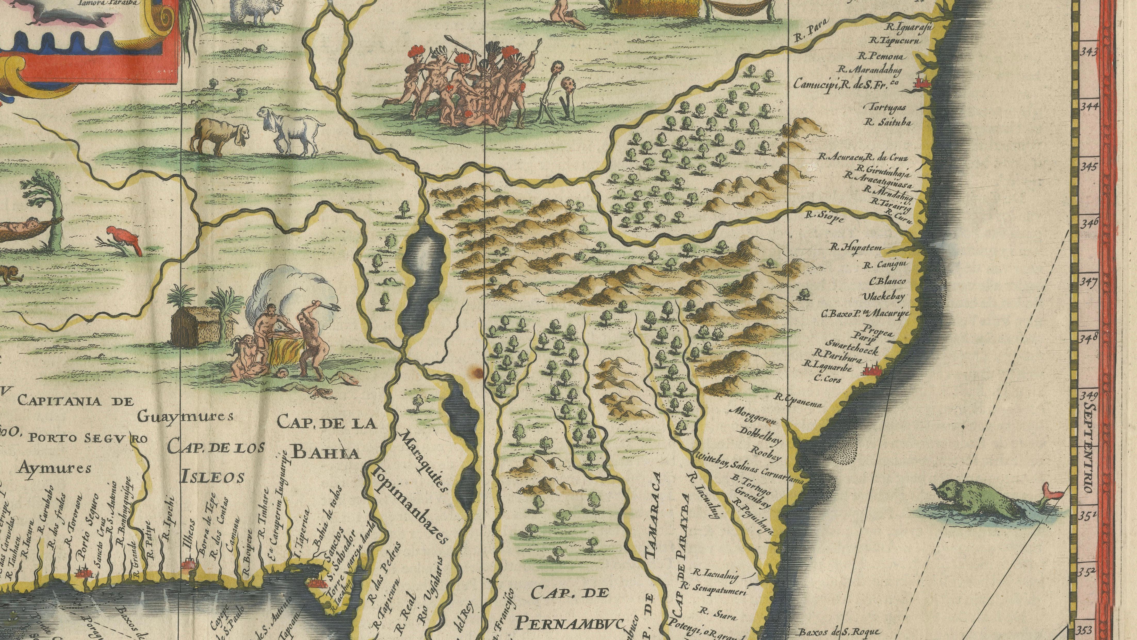
The map captures the Brazilian coastline in remarkable detail, reflecting early European exploration and colonial presence in South America. Inland, the composition is richly embellished with scenes of indigenous life, wildlife, and landscape, offering a fascinating visual narrative of how the region was perceived in the 17th century. These ethnographic and decorative elements elevate the map beyond a purely geographic document, making it one of the most desirable and recognizable Blaeu maps.
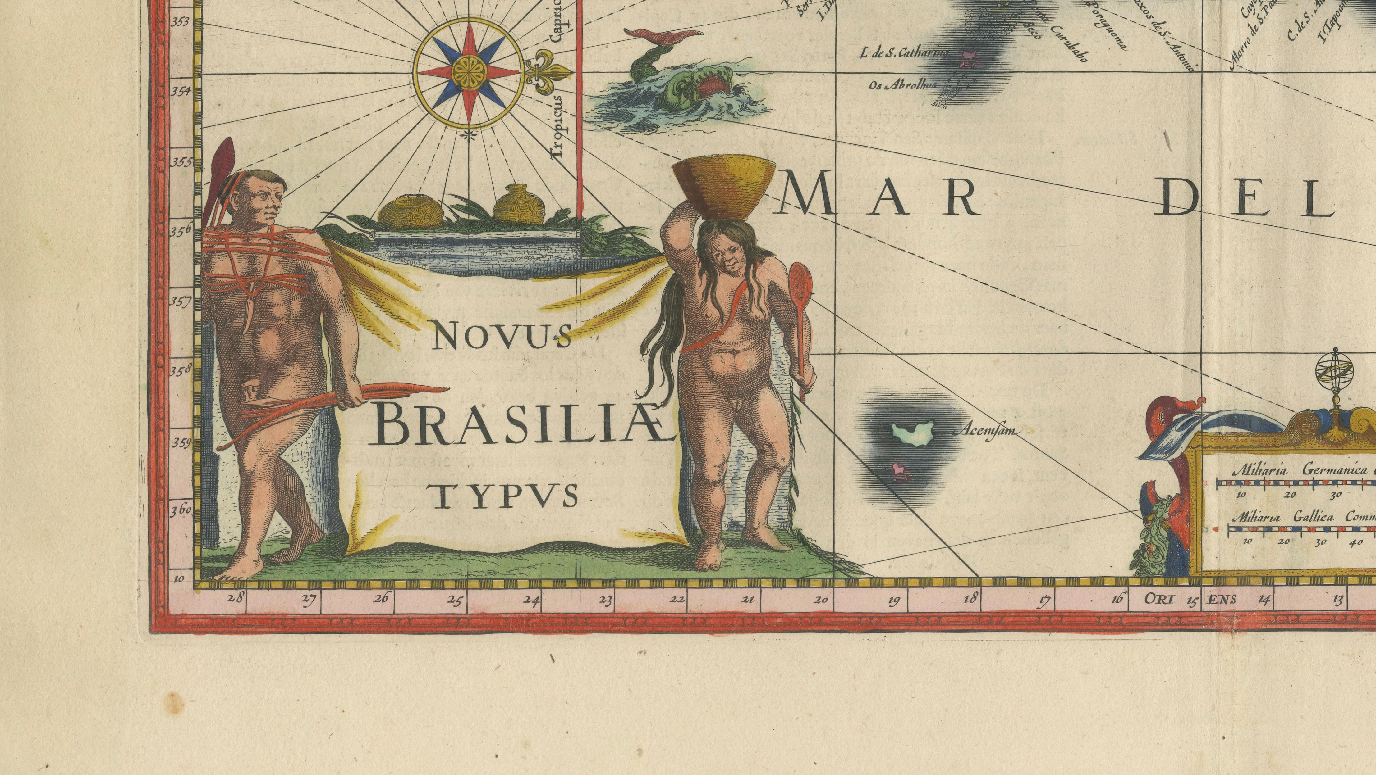
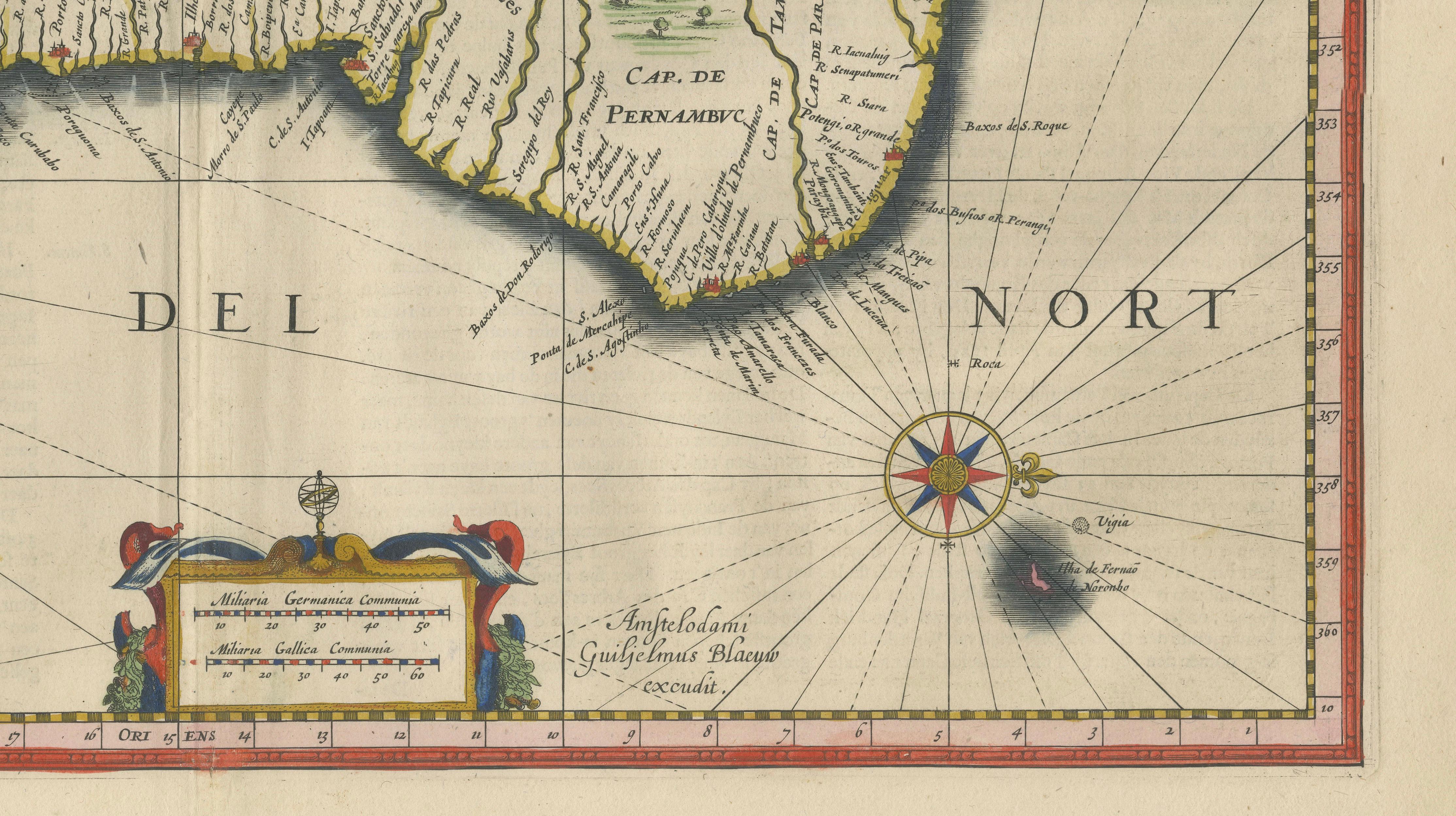
The lower left features a large and dramatic cartouche with indigenous figures, while a second decorative cartouche and multiple compass roses enhance the maritime character of the map. The coastline is animated with ships and sea creatures, reinforcing its role as both a navigational and decorative work. The original hand-coloring remains vibrant, with greens, yellows, and reds bringing clarity and depth to the engraving.
This map was produced at a time when Brazil was of major strategic and commercial interest to European powers, particularly the Dutch and Portuguese. As such, it holds strong historical significance and remains a cornerstone piece for collectors of early South American cartography.
Highly sought after for both its decorative richness and historical importance, this map is ideal as a centerpiece in a sophisticated interior or as part of a curated wall of Blaeu maps.
Condition: Good condition for its age. Original central fold as issued. Light overall toning consistent with age. Some minor wear and faint staining in the margins. Edges slightly irregular. Colors remain strong and attractive. Please study image carefully.
Framing: This piece presents exceptionally well in a dark walnut or ebonized wood frame with a wide warm ivory mat. A museum-style presentation enhances the rich cartouches and lively interior scenes. Particularly effective in a darker study or classic interior setting.
Keywords: Brazil, Brasilia, Novus Brasiliae Typus, South America, Dutch Brazil, Pernambuco, Bahia, Rio de Janeiro, Amazon, Atlantic coast, indigenous peoples, colonial Brazil, Dutch cartography, Blaeu atlas, Toonneel des Aerdrycx, 17th century map, antique Brazil map, decorative cartography, compass rose, cartouche, maritime history
Special note: This is an original 17th-century map, not a reproduction. All items we offer are authentic period works of art over 100 years old. The map is sold unframed; any framed images are shown for presentation and interior inspiration only and may not always be on scale with the original.
Technique: Copperplate engraving with original hand-coloring
Maker: Willem & Joan Blaeu, Amsterdam, c.1642