Original antique · The actual sheet photographed · Certificate of authenticity on request · Sold unframed · Worldwide shipping from € 15 (rates)
Date
1642
Sheet size
50 × 59 cm (19.7 × 23.2 in)
Condition
Good
Reference
HP-088
What the condition grades mean
Excellent
Bright and clean, with no faults worth mentioning.
Very good
Only light signs of age, such as faint toning.
Good
Normal signs of age for a sheet of this period: toning, some foxing, small marks or neat old repairs.
Fair
Clear faults such as staining, tears or repairs, priced to match.
Every fault we see is written in the condition note, and the whole sheet is shown uncropped in the photos.
Condition
Good condition with age-related toning. Original center fold as issued. Light discoloration and minor wear to the margins, consistent with age. Paper remains strong and stable. A well-preserved and attractive impression.
About this sheet
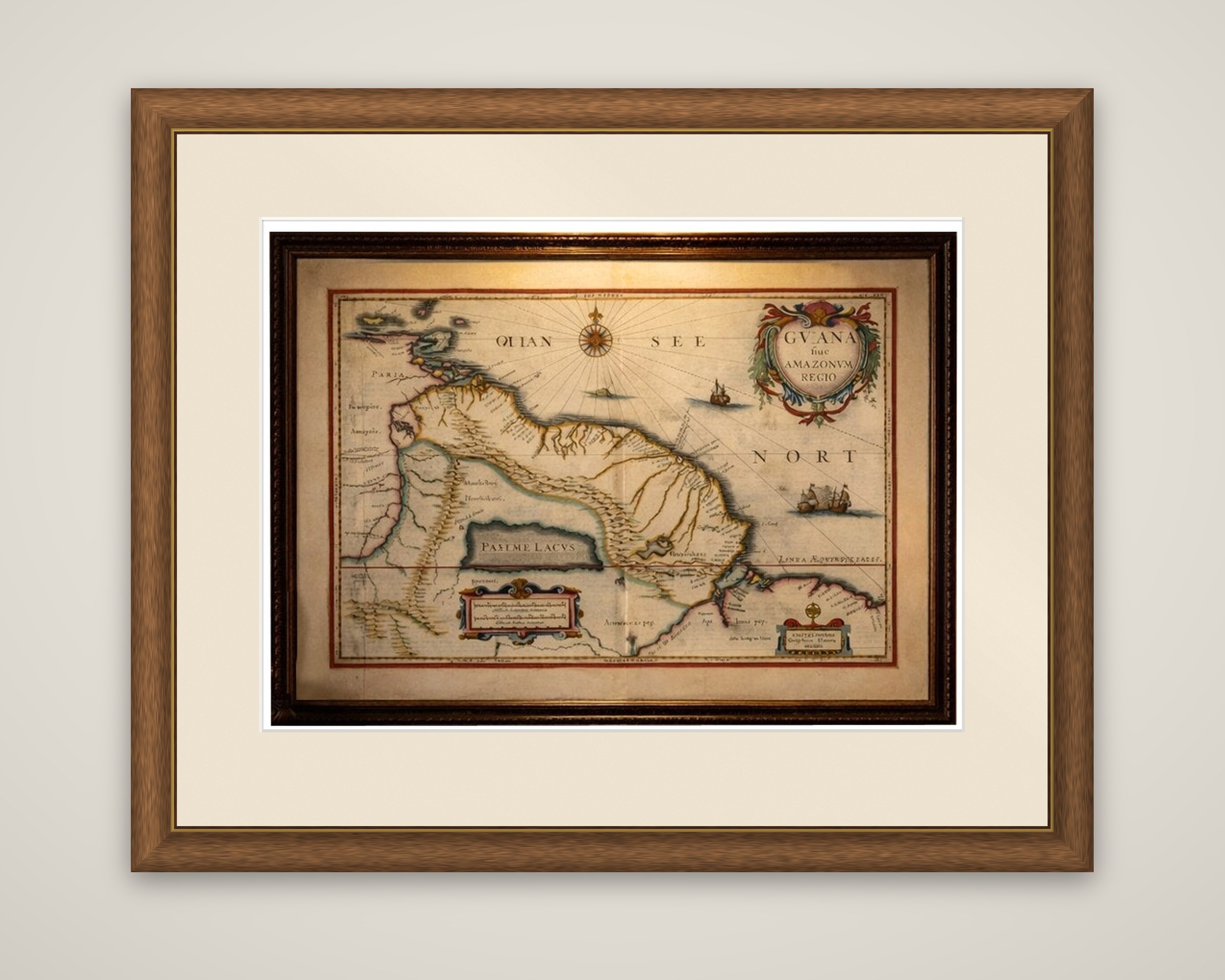
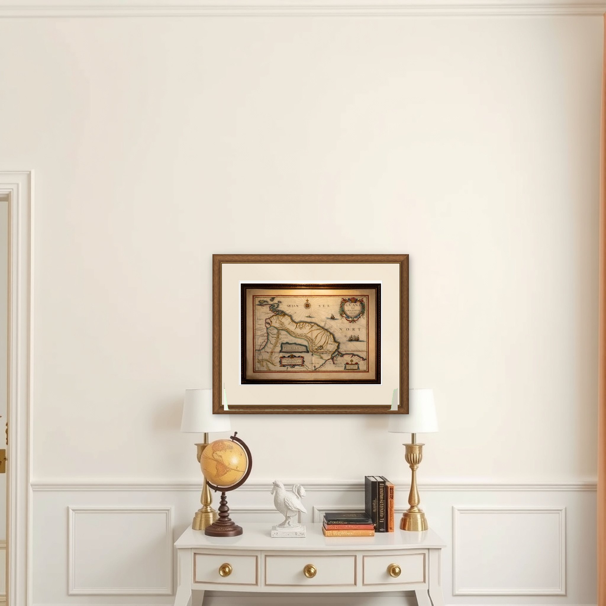
Guiana and the Amazon region of northern South America, a map titled "Guiana sive Amazonum Regio", published by Willem Blaeu in his atlas Toonneel des Aerdrycx around 1642. It is an original copper engraving with hand color.
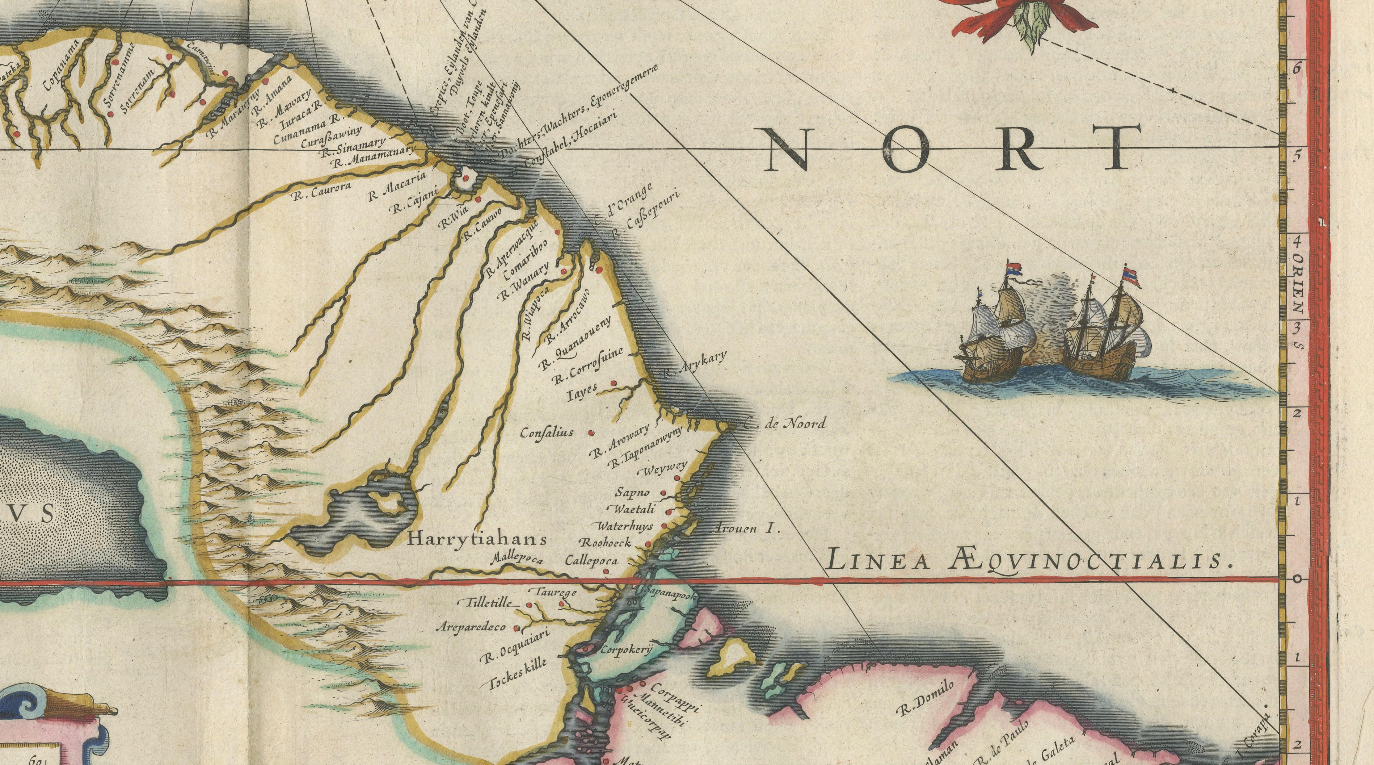
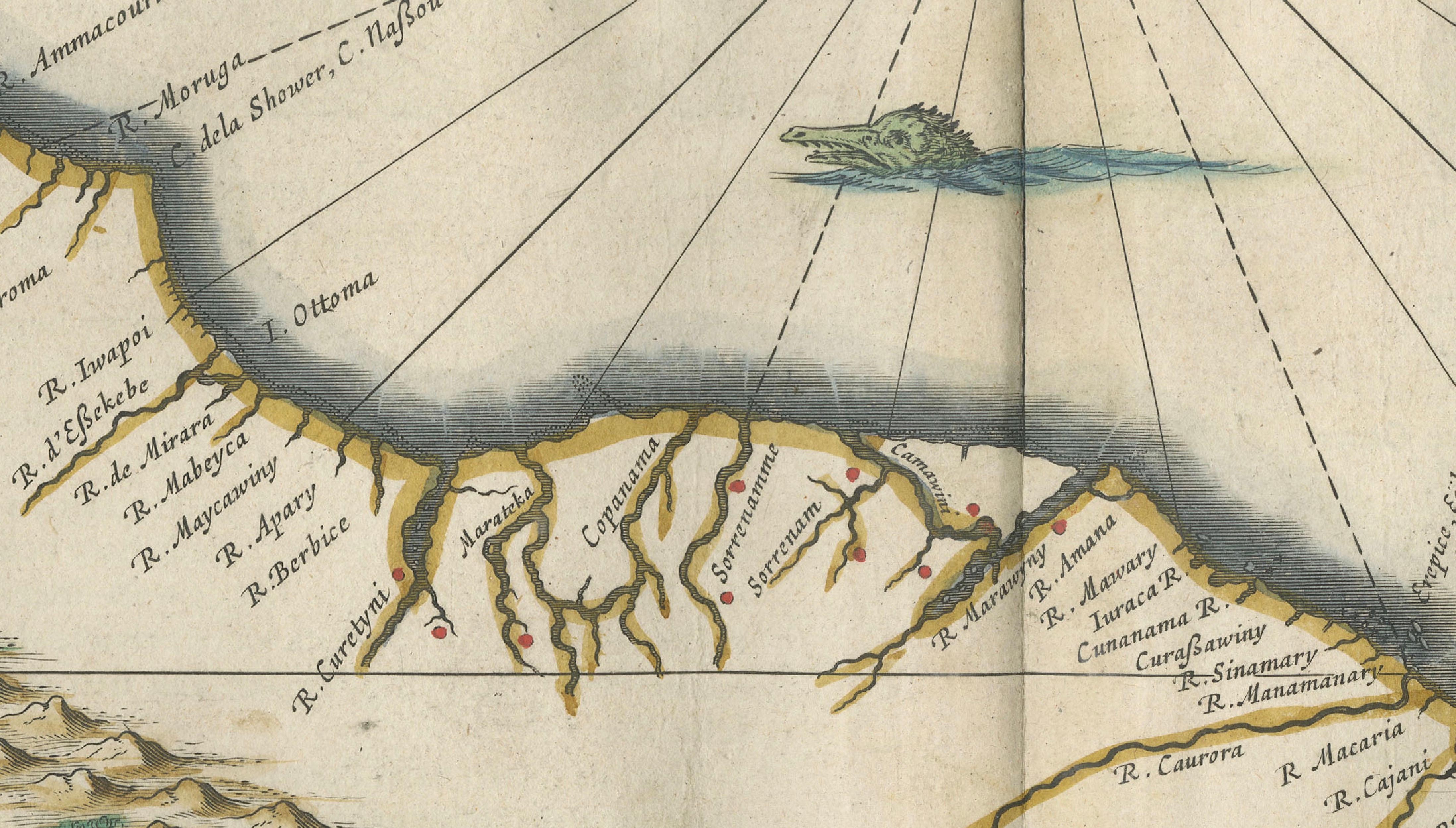
The map extends from the Caribbean coast at the upper left across Venezuela, the Guianas and northern Brazil, with the Amazon and Orinoco and their tributaries drawn in great detail. At the center lies the Parime Lacus, the legendary inland lake of El Dorado, set in an area of blank interior. The coastline is lined with place names, and the Atlantic is lettered "Mare del Nort" at the right; Trinidad and the southern Caribbean islands appear in the upper left corner. Two ships under sail and a fleur-de-lis compass rose animate the sea, and a line marks the equator, "Linea Aequinoctialis", at the lower right.
The large title cartouche at the upper right is framed in scrolling foliage and ribbons, and a second cartouche at the lower left carries the scale. A small cartouche at the lower right bears the Amsterdam imprint of Blaeu.