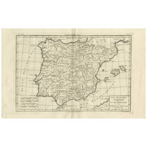
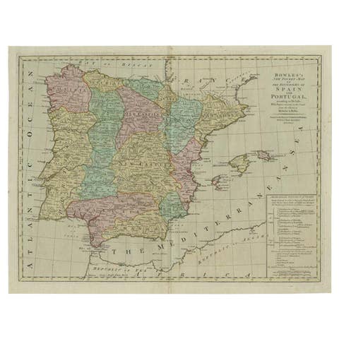
Old Map Guiana, Columbia Venezuela, Andalusia in South America by Bonne, c.1780
€ 230
Original antique · The actual sheet photographed · Certificate of authenticity on request · Sold unframed · Worldwide shipping from € 15 (rates)
Date
1780
Mapmaker / artist
Drawn by R. Bonne
Sheet size
26 × 38.5 cm (10.2 × 15.2 in)
Condition
Good
Reference
BGI-00711
Condition
Small defect upper part of the map. General age-related toning. Please review the images for further condition details.
About this sheet
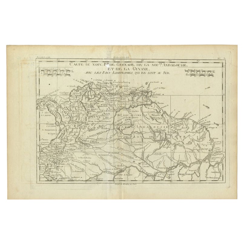
Antique map titled 'Carte du Nouv. Rme. de Grenade, de la Nou'le Andalousie, et de la Guyane, avec les pays Limitrophes qui en sont au sud'.
Detailed map covering part of South America including Colombia, Ecuador, Venezuela and Guayana. Originates from G. Raynal's 'Atlas de toutes les parties du Globe Terrestre (..)'. Artists and Engravers: Drawn by R. Bonne.
They were the product of engraved, etched or lithographed plates. These plates were handmade out of wood or metal, which required an incredible level of skill, patience and craftsmanship. Whether you have a house with Victorian furniture or more contemporary decor an old engraving can enhance your living space.