Original antique · The actual sheet photographed · Certificate of authenticity on request · Sold unframed · Worldwide shipping from € 15 (rates)
Date
1849
Sheet size
46.5 × 35.5 cm (18.3 × 14.0 in)
Condition
Good
Reference
BG-12038-3
What the condition grades mean
Excellent
Bright and clean, with no faults worth mentioning.
Very good
Only light signs of age, such as faint toning.
Good
Normal signs of age for a sheet of this period: toning, some foxing, small marks or neat old repairs.
Fair
Clear faults such as staining, tears or repairs, priced to match.
Every fault we see is written in the condition note, and the whole sheet is shown uncropped in the photos.
Condition
Age-related toning. Some creasing of the paper. Please review the images for further condition details.
About this sheet
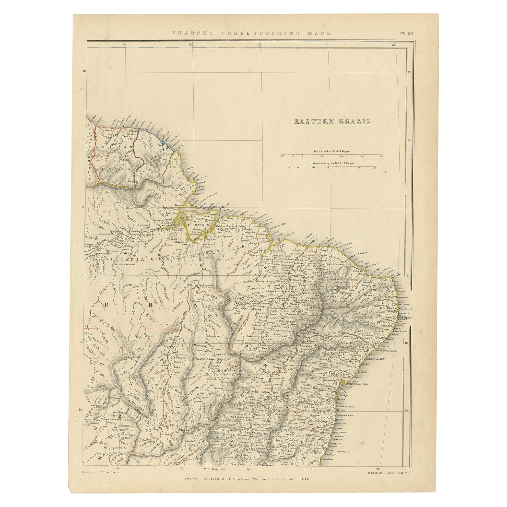
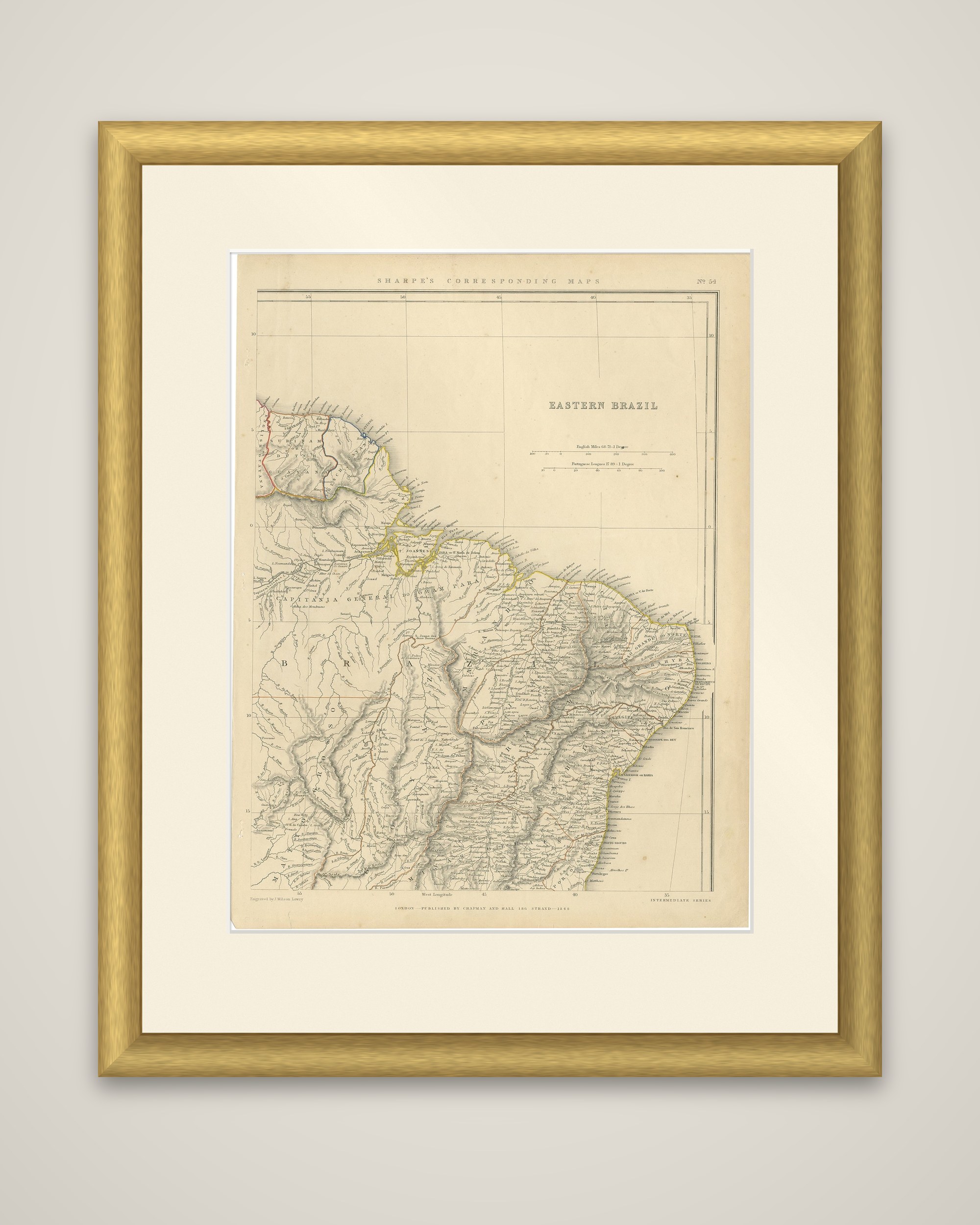
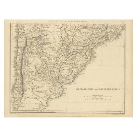
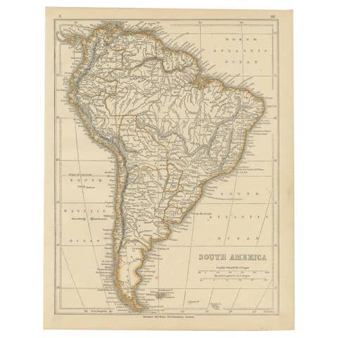
Eastern Brazil, an original antique map from Sharpe's Corresponding Atlas, published in London by Chapman and Hall in 1849. The sheet is headed "Sharpe's Corresponding Maps" and carries the title "Eastern Brazil," with scales in English miles and Portuguese leagues. The colored outlines mark provincial and national boundaries.
The map shows the Brazilian coast from French Guiana at the upper left around the mouth of the Amazon and Pará, along the northeastern bulge to the Atlantic coast below Bahia. Inland it covers the vast Amazon basin, the rivers of the interior and the highlands of Minas Gerais, drawn in hachures. The region around Pará is lettered "Capitania General do Grão Pará," a reminder of the colonial administrative divisions, and towns and villages crowd the coast while the interior is nearly blank. Colored lines in the upper left delimit the Guianas.
In 1849 Brazil was an independent empire under Pedro II.