About this sheet
Sweden Denmark Norway Antique Map, Hand Colored Scandinavian Miniature c.1700
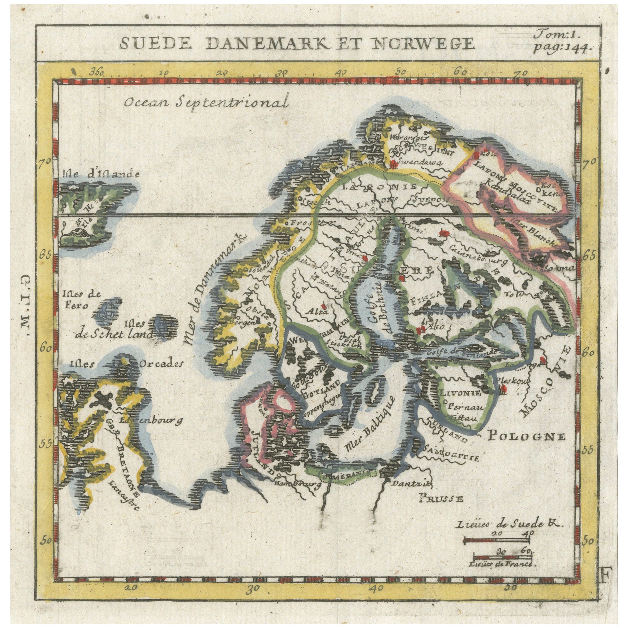
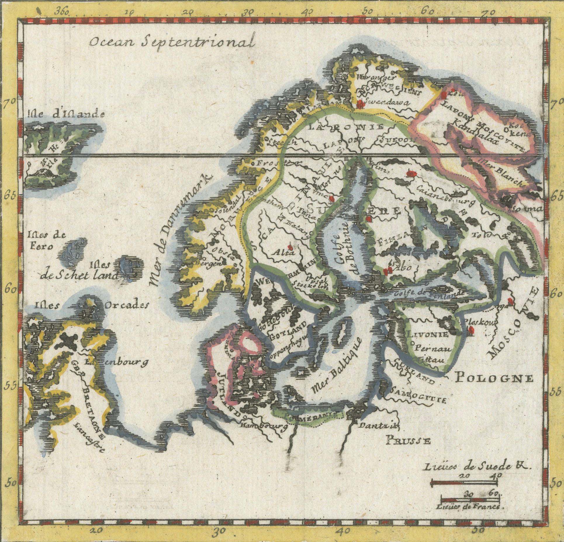
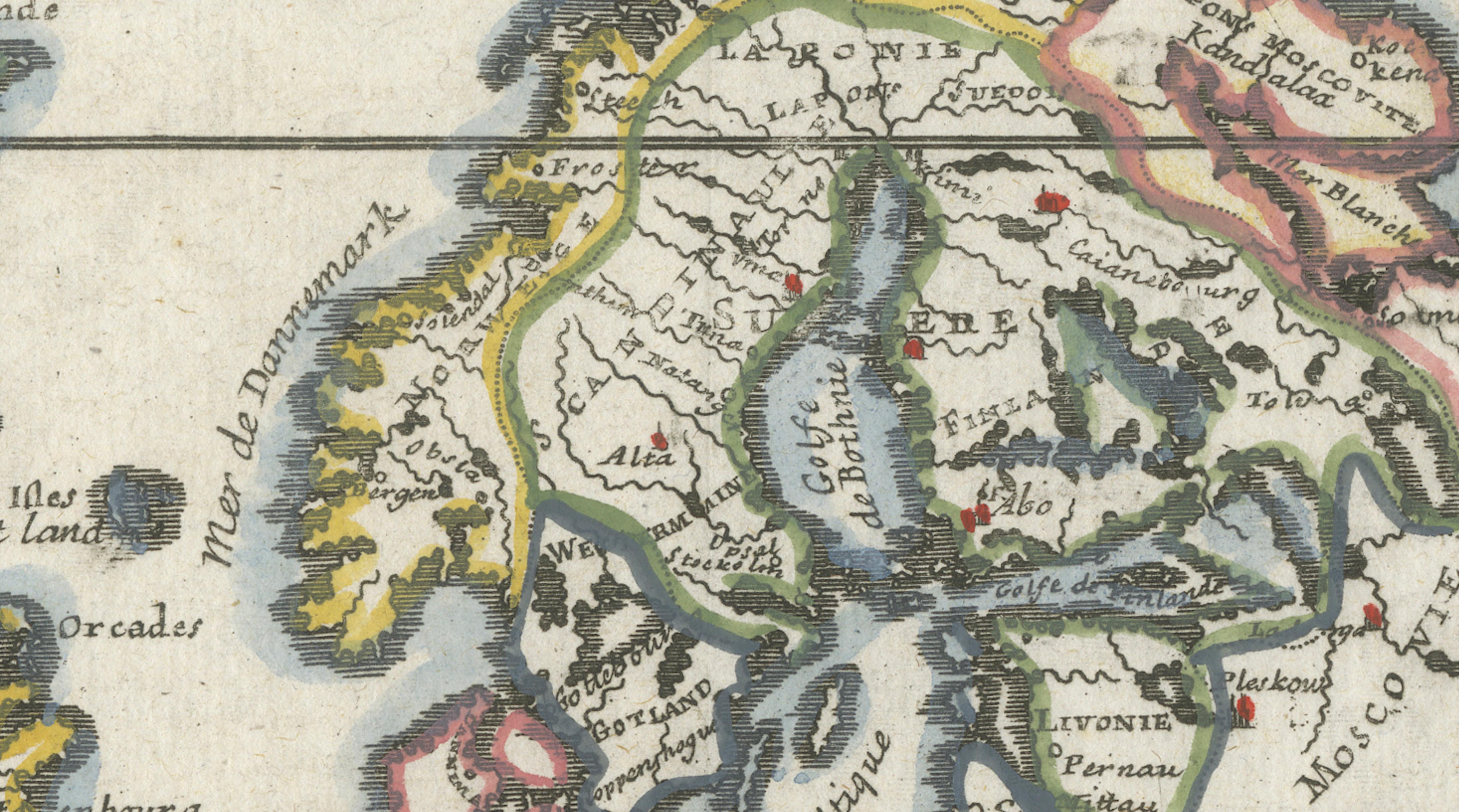
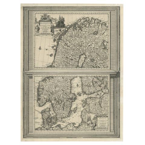
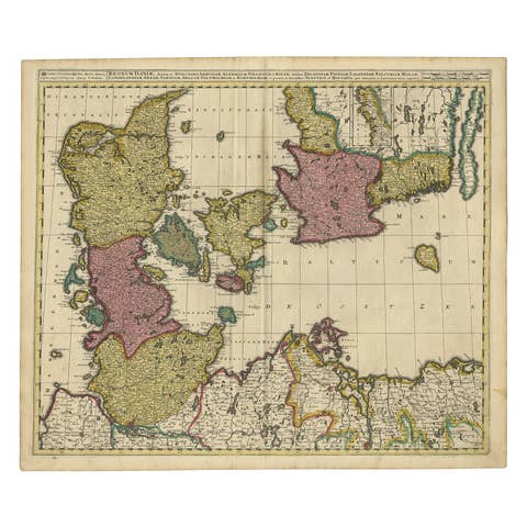
A charming and visually appealing hand-colored antique map titled “Suede Danemark et Norwege,” depicting Scandinavia and surrounding northern European regions in a compact, decorative format. This copper-engraved map dates to the late 17th or early 18th century and reflects the elegant French cartographic tradition of the period, often associated with engravers and publishers working in the circle of Henri Abraham Chatelain or based on earlier geographic sources such as Andreas Bure. The map presents Sweden, Norway, Denmark, Finland, and adjacent Baltic territories with an emphasis on clarity, balanced composition, and refined aesthetic appeal.
The map is offered unframed, enabling custom framing to personal or interior preferences.
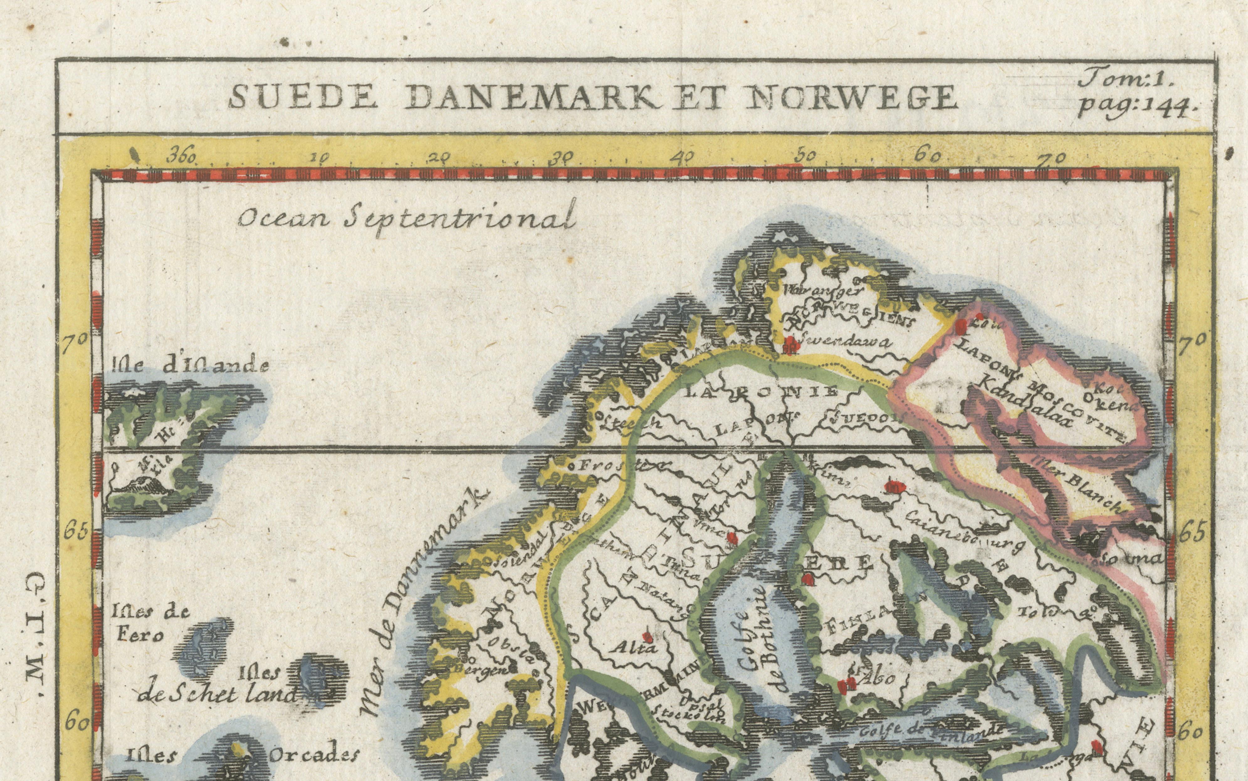
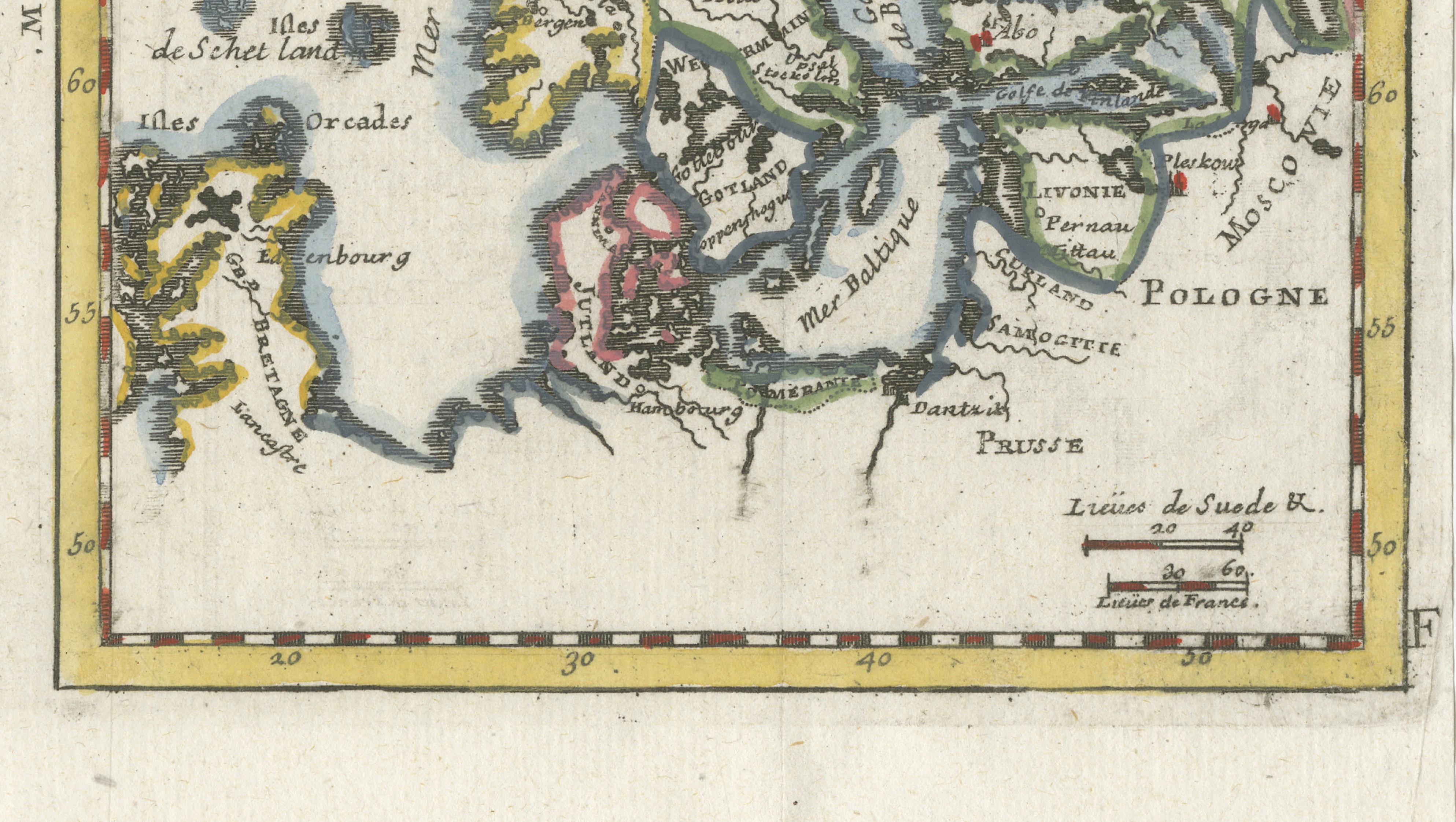
The engraving displays Scandinavia extending into the Northern Ocean (“Ocean Septentrional”), with historical geographic terminology rendered in French. The Baltic Sea (“Mer Baltique”), Gulf of Bothnia (“Golfe de Bothnie”), and the White Sea (“Mer Blanche”) are clearly identified, while surrounding regions such as Poland, Prussia, and parts of the Russian territories provide geographic context. The stylized coastline and simplified landforms reflect the cartographic conventions of the era, offering insight into how northern Europe was understood and visualized by early modern European mapmakers.
Decorative hand coloring enhances regional borders and adds visual vibrancy, giving the map strong decorative presence despite its relatively small size. The rectangular border with colored edging frames the composition elegantly, while the engraved grid lines reinforce its scientific character. The title at top and the notation “Tom:1. pag:144.” indicate its origin within a larger atlas or geographic compendium, typical of Enlightenment-era publications designed to educate and inspire curiosity about distant lands.
This type of miniature engraved map has become increasingly desirable among collectors and interior designers for its ability to combine historical interest with decorative charm. Its balanced proportions make it particularly suitable for framing either as a standalone piece or paired with other Scandinavian or maritime-themed works.
Condition: Good to very good condition with attractive original hand coloring and a pleasing age patina. Original fold lines as issued. Minor age-related wear and light handling marks consistent with its period, largely unobtrusive.
Framing tips: Displays beautifully in a dark walnut, black, or gilded frame with an ivory or warm off-white mat. A generous mat border of approximately 6–8 cm (2.5–3 inches) enhances the miniature scale and emphasizes the delicate engraving lines.
Technique: Copper engraving with original hand color
Maker: Anonymous French school (after Andreas Bure / attributed circle of Chatelain), circa 1700