Maps & PrintsBartele Gallery · Langweer
Home / Antique Maps / Europe / Northern Europe

Northern Europe · 18th century

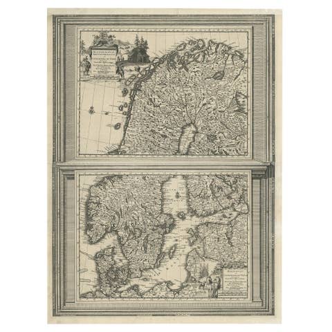
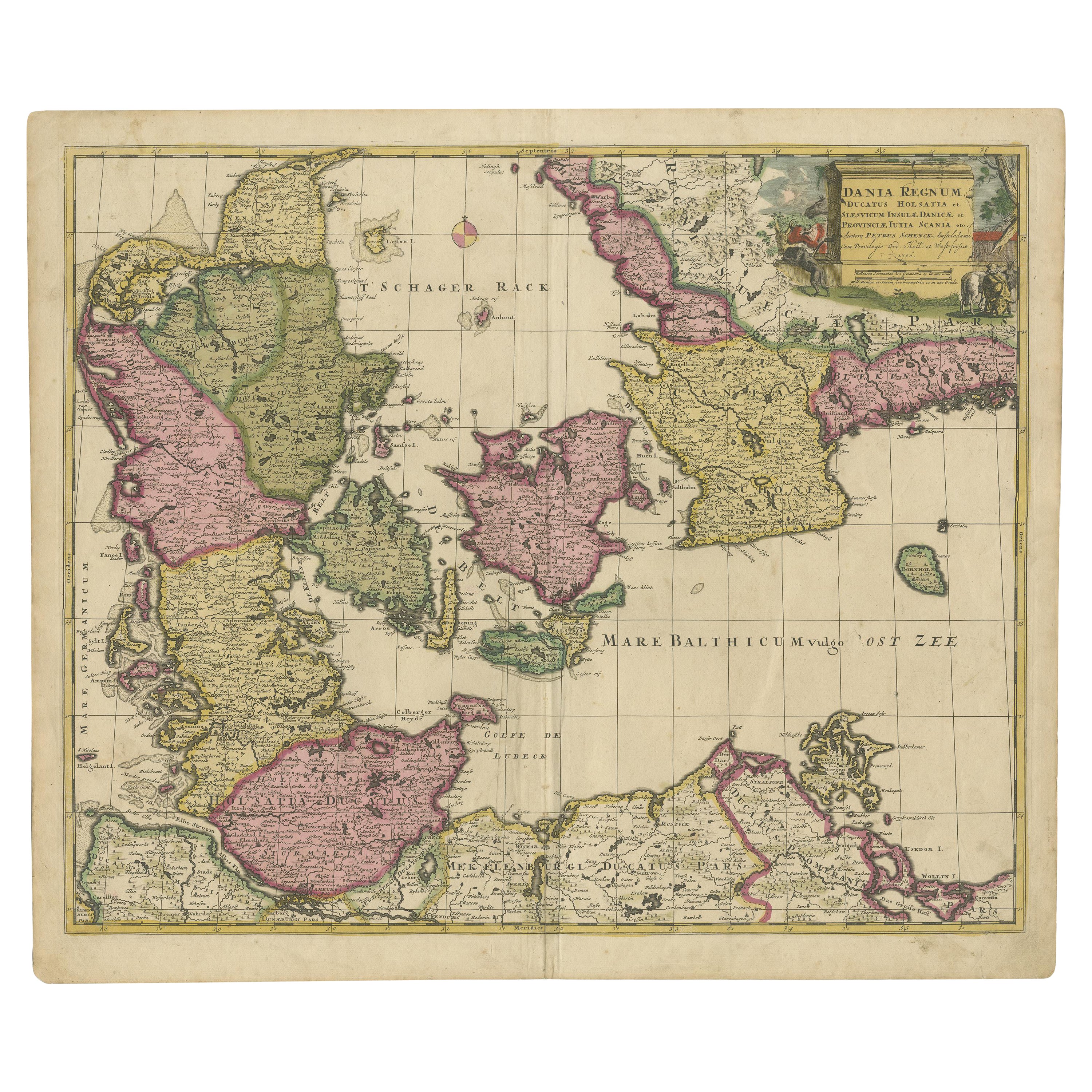
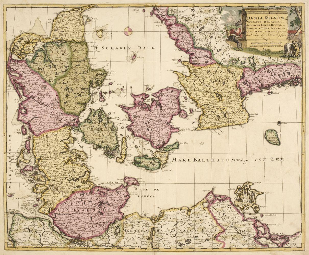
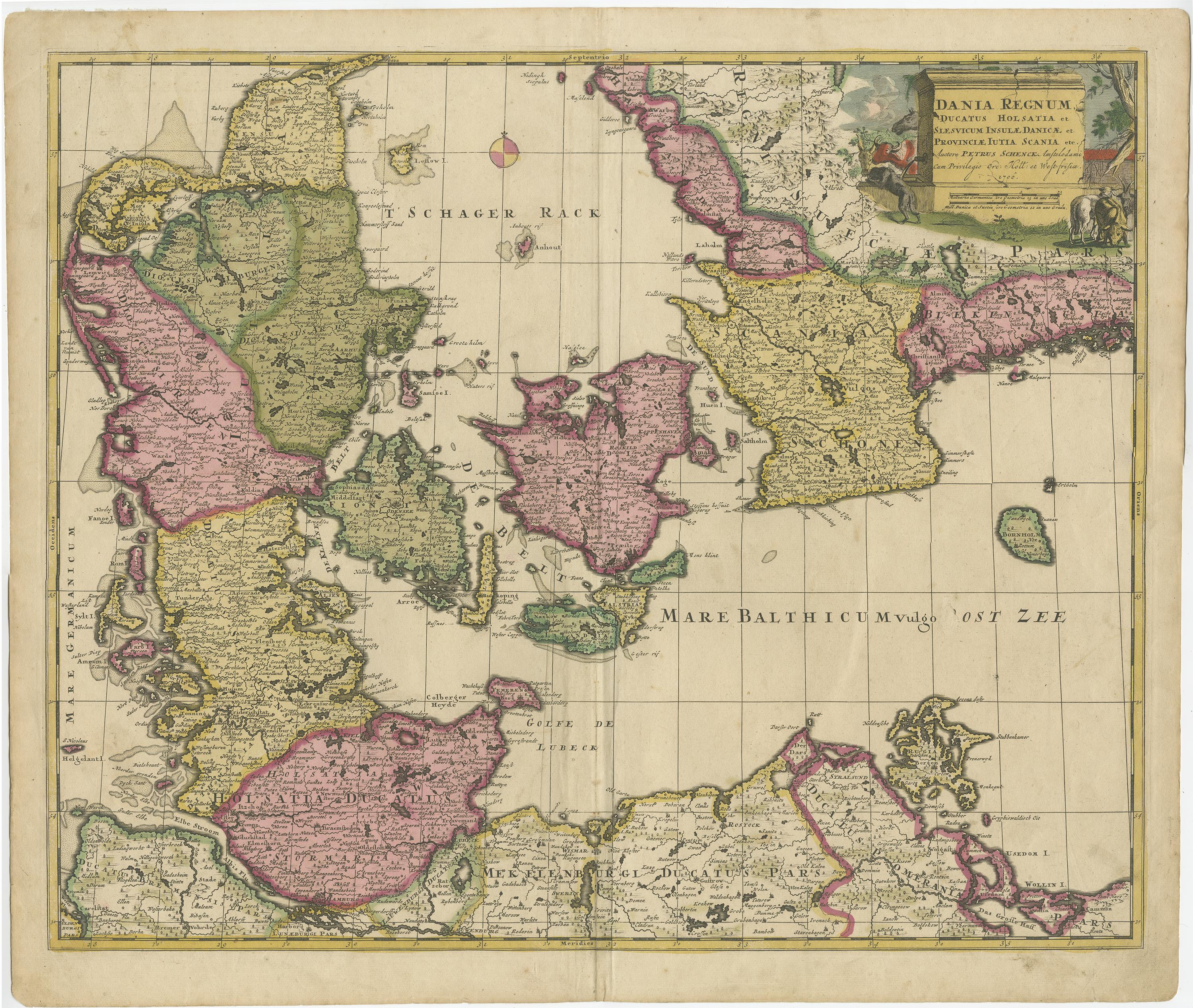
Early 18th Century Map of Denmark in Old Coloring, Published in 1706

€ 731

One of a kind: this is the sheet in the photographs. Ships from Langweer, the Netherlands.

Date
1706
Technique
Engraved
Sheet size
49 × 59 cm (19.3 × 23.2 in)
Condition
Good
Reference
BG-13101-1

About this sheet

Denmark. Schenk (Petrus), Dania Regnum Ducatus Holsatia. et Slesvicum Insulae Danicae et Provinciae Jutia Scania etc. Amsterdam, 1706, engraved reticulated map on thick paper with contemporary hand-colouring, 490 x 590 mm.

More from Northern Europe

Ask about this sheet

Early 18th Century Map of Denmark in Old Coloring, Published in 1706
1706 · Ref. BG-13101-1 · € 731
We reply by email, usually within one working day.