Rare 1670 Map of Tartary by Richard Blome after Sanson, Hand-colored Engraving
€ 580
One of a kind: this is the sheet in the photographs. Ships from Langweer, the Netherlands.
Date
1670
Sheet size
33 × 40 cm (13.0 × 15.7 in)
Condition
Good
Reference
BG-14064
Condition
Very good condition. Minor toning in blank margins. Close original side margins (approx. 1/8") as issued. Hand-coloring is well-preserved. Plate mark visible. No tears or repairs noted. Blank verso.
About this sheet
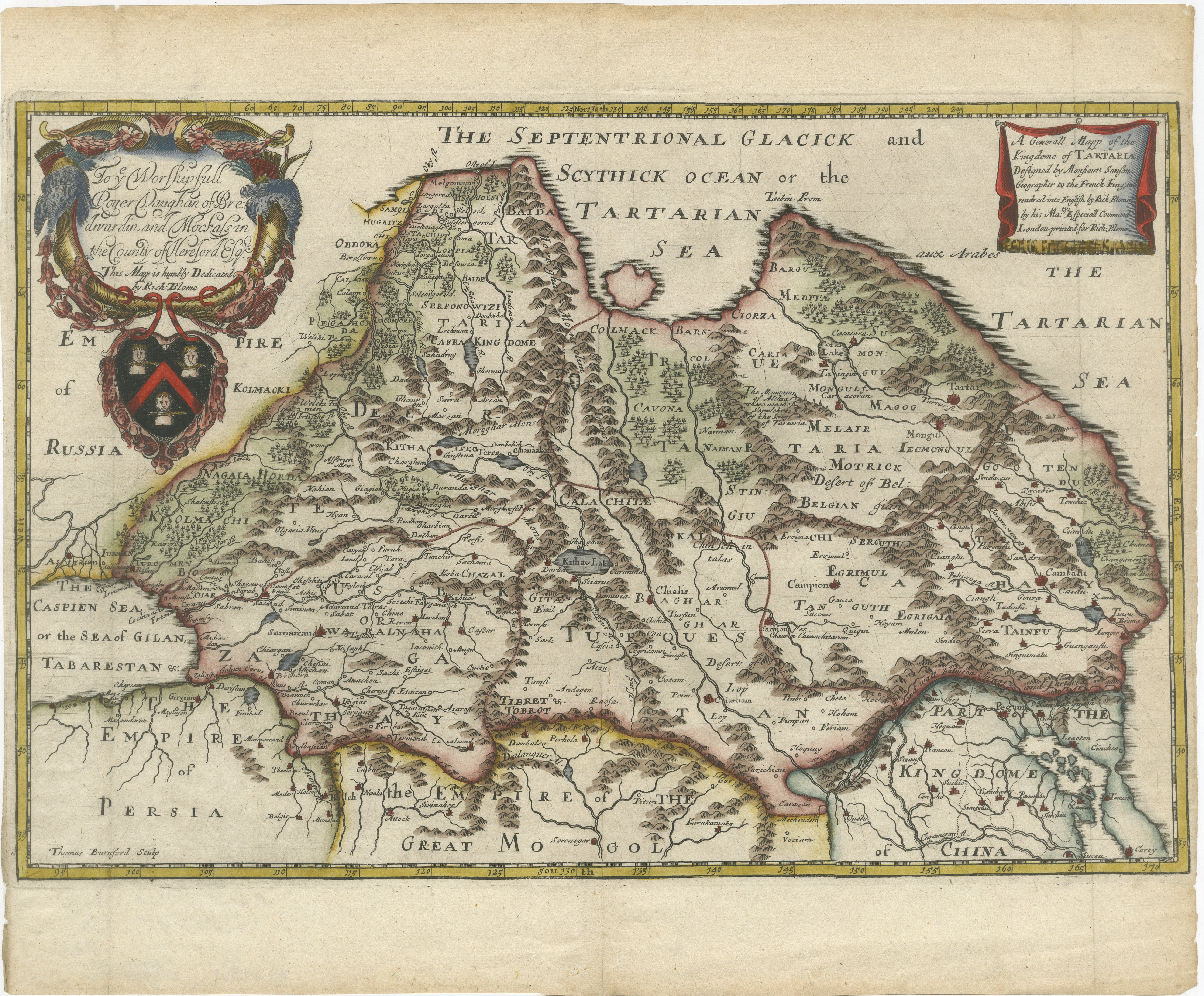
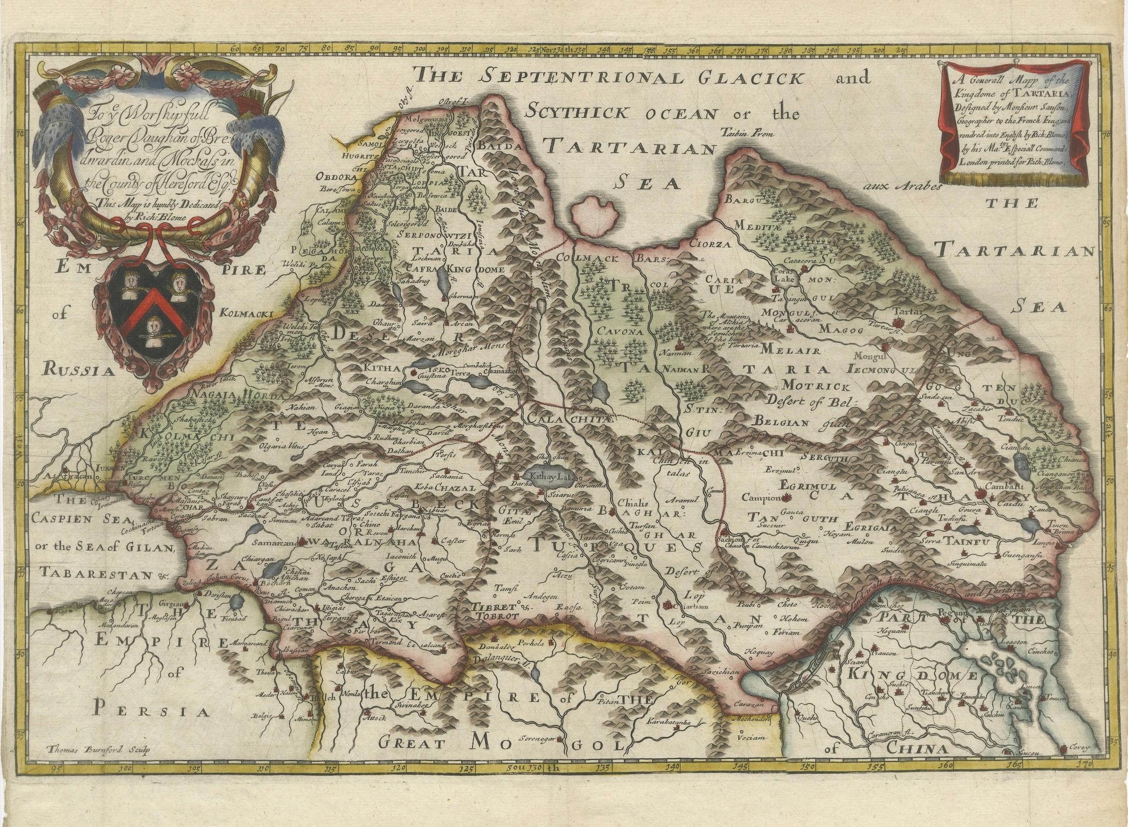
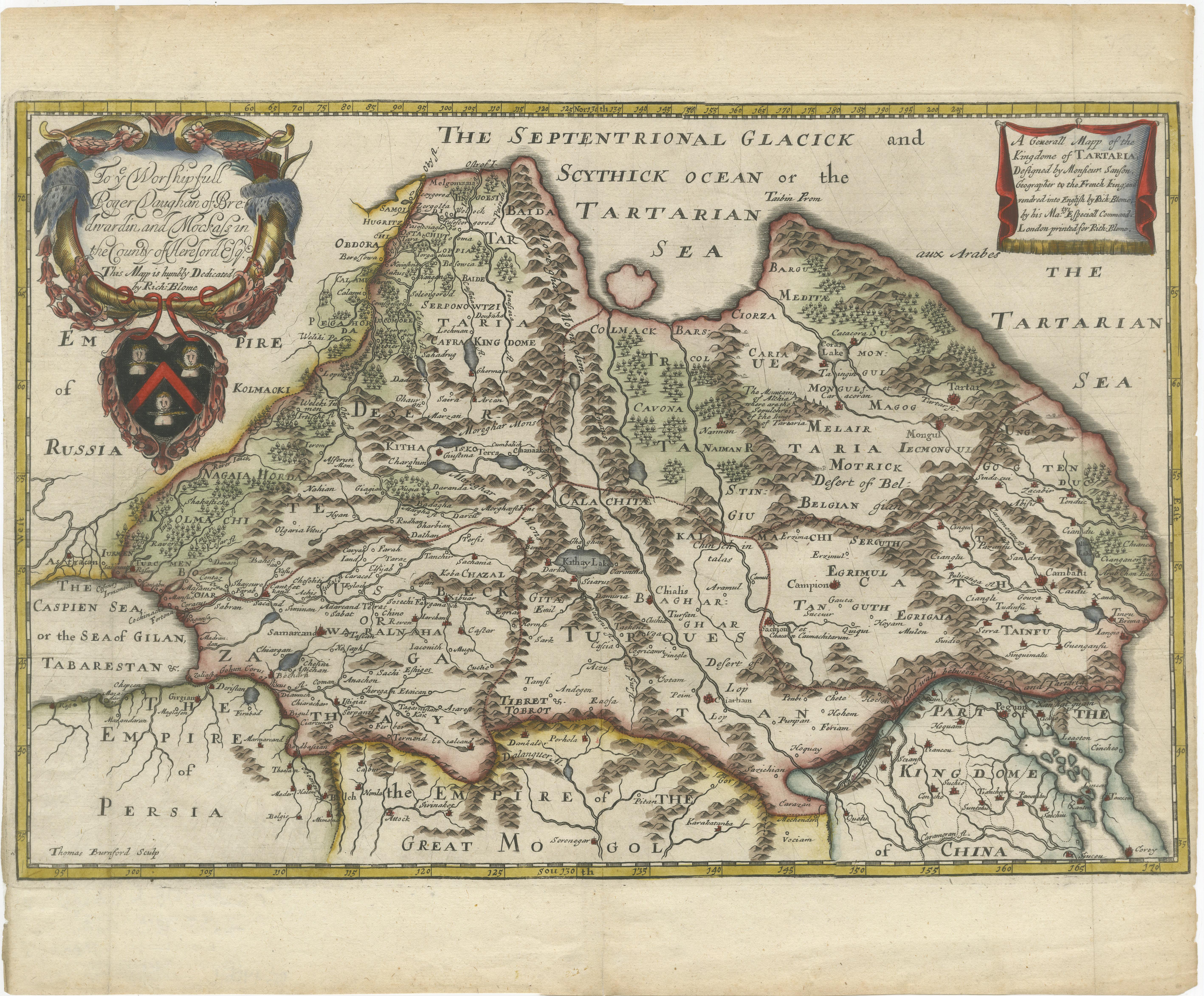
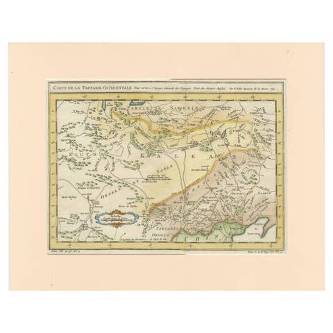
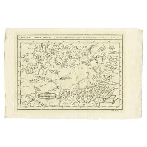
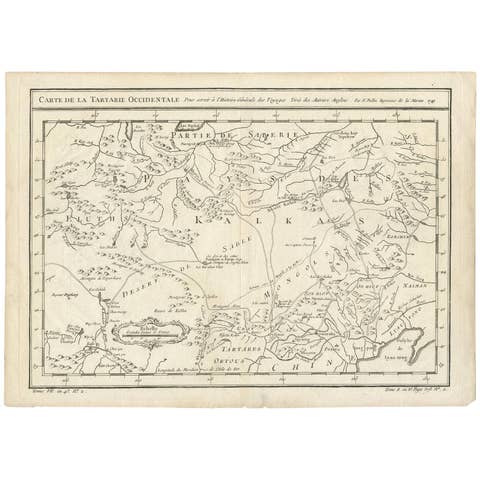
Rare 1670 Map of Tartary by Richard Blome after Sanson, hand-colored engraving
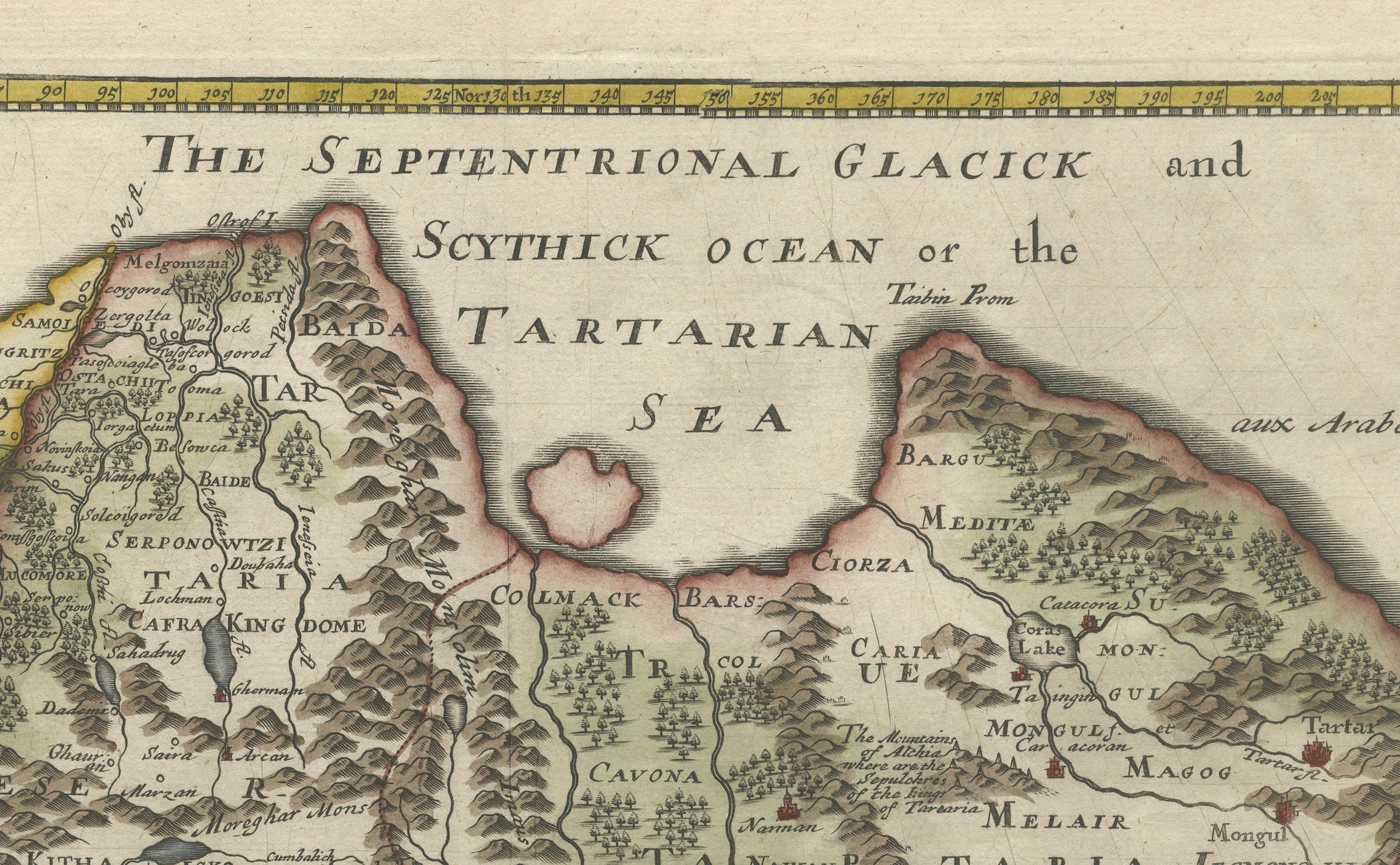
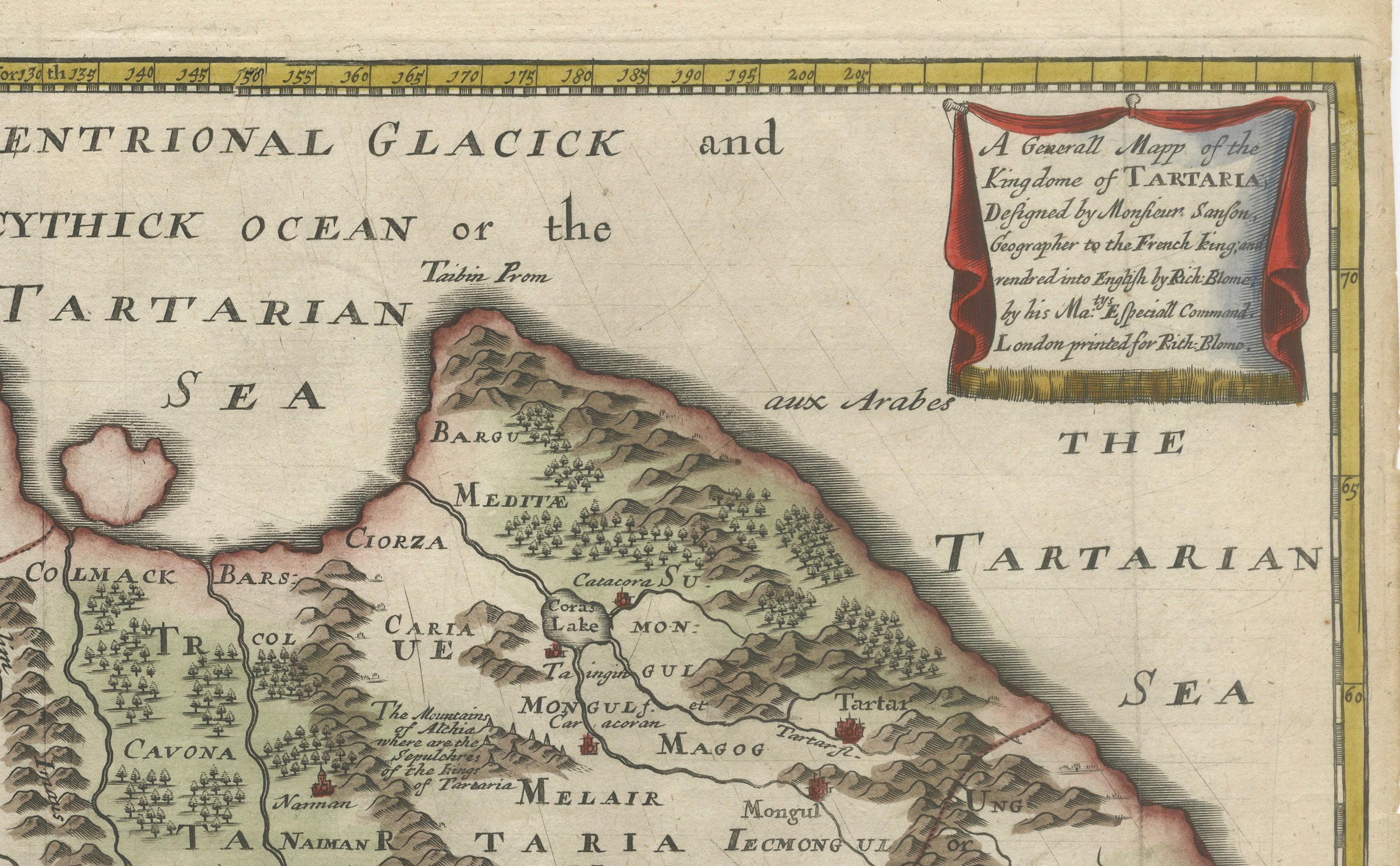
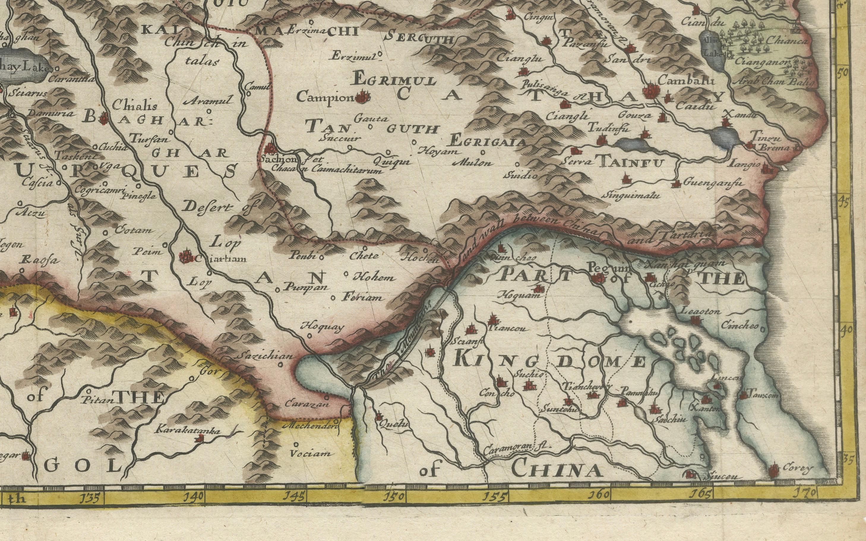
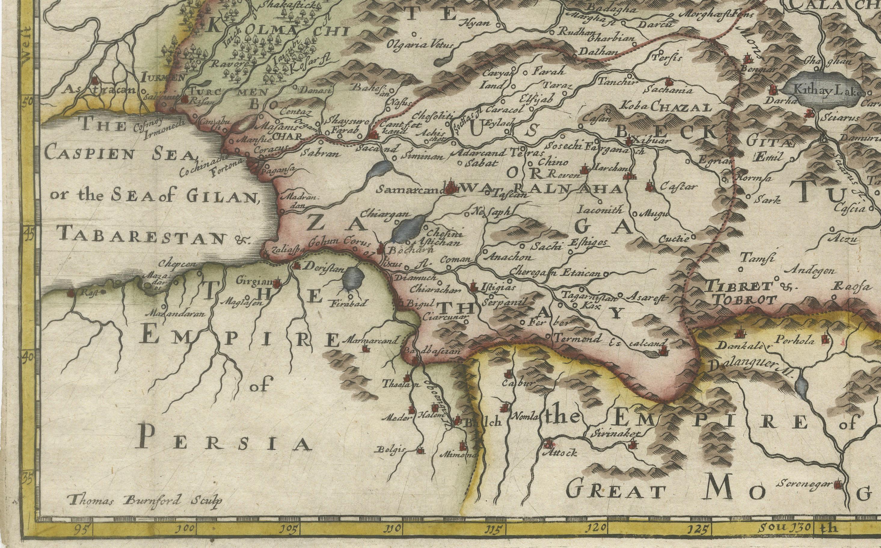
This striking and highly decorative map, titled *A Generall Mapp of the Kingdome of Tartaria*, was published circa 1670 by Richard Blome, one of the most ambitious English map and book publishers of the late 17th century. This hand-colored copperplate engraving presents the vast northern and central Asian region then known as Tartary—a term used in early European cartography to describe an expansive and vaguely defined area stretching from Russia and the Caspian Sea to China and the Pacific Ocean.
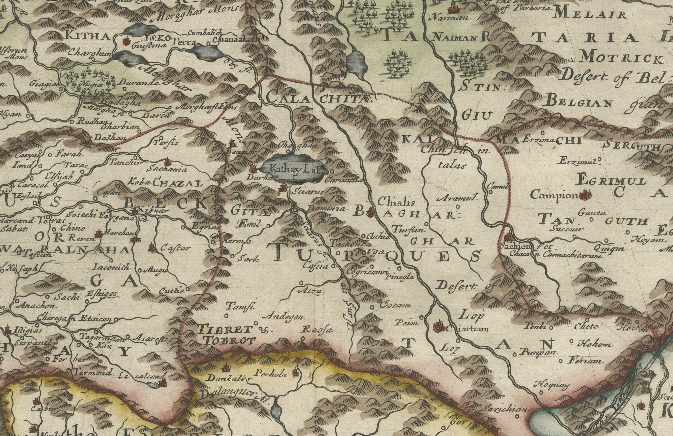
The map is based on the cartography of Nicolas Sanson, the Royal Geographer to the French King, and was engraved by Thomas Burnford. Sanson’s influence is seen in the careful geographical detailing of mountain ranges, rivers, deserts (notably the Desert of Bel), and the delineation of numerous regions and tribal kingdoms such as Samojedia, Cathay, Tangut, Karakathay, and Kithia. The Caspian Sea and the Kingdom of China are clearly marked, as are the borders of the Great Mogol Empire and Persia to the south.
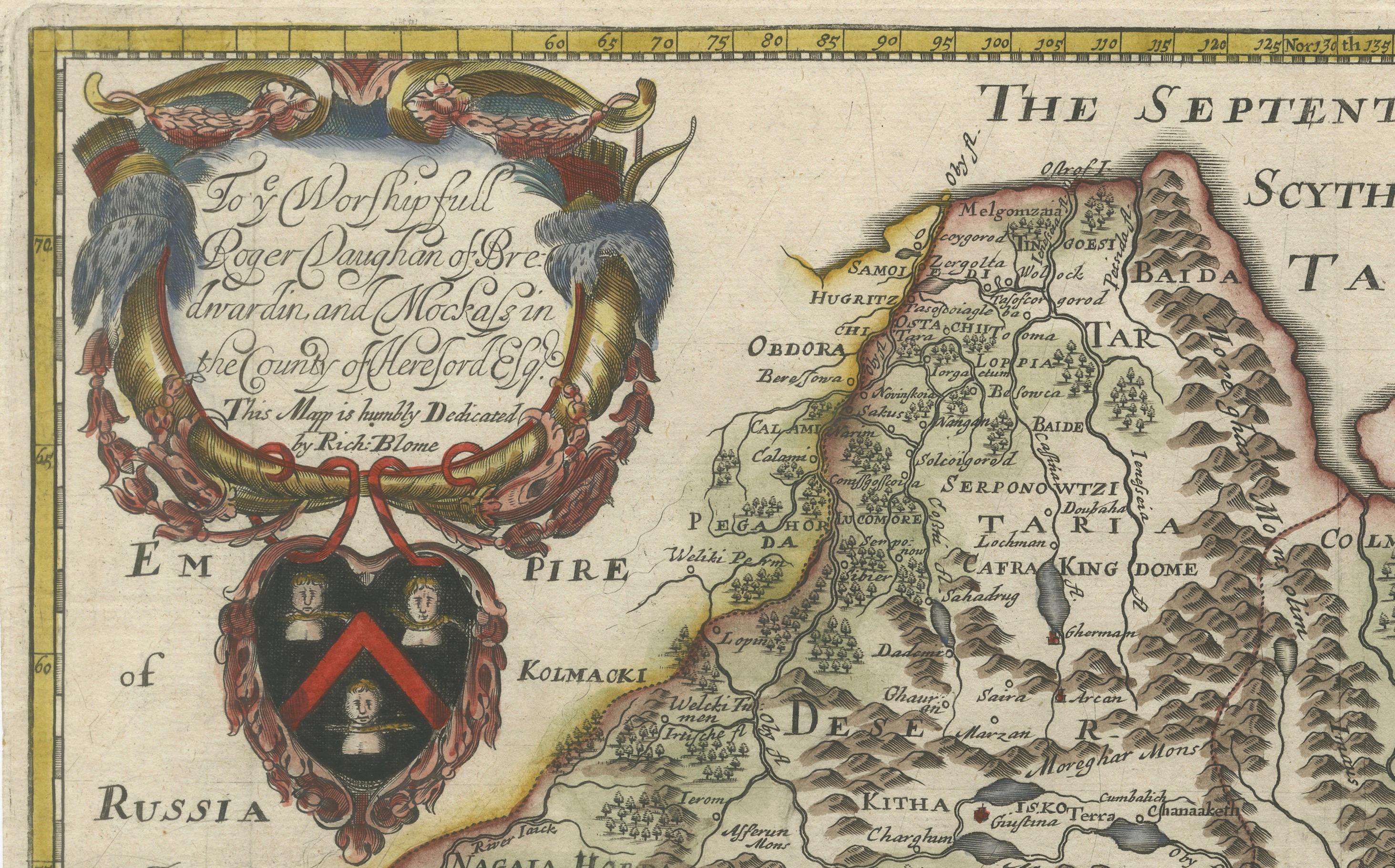
Visually, the map is enhanced by an elaborate coat of arms and dedication to Roger Vaughan of Herefordshire, framed by garlands and flanked by two birds—an example of the richly ornamental style typical of Blome’s maps. This dedication emphasizes the subscription-based model Blome used, often securing patronage in return for name placement and personalized embellishment.
This example retains strong original hand-coloring, with a distinct palette delineating major regions and natural features. The plate measures approximately 15.4 x 10.2 inches (39.1 x 25.9 cm), and was originally issued in Blome’s *Geographical Description of the Four Parts of the World*.
A rare and collectible early English map with historical importance and visual appeal, ideal for collectors of antique cartography or maps of Asia and Russia.
Condition Report: Very good condition. Minor toning in blank margins. Close original side margins (approx. 1/8") as issued. Hand-coloring is well-preserved. Plate mark visible. No tears or repairs noted. Blank verso.
Framing Tips: Frame with a classic gold or dark wood moulding. Use a light cream or ivory archival mat to enhance the map’s coloring. A float mount with UV-protective glass is ideal to showcase the plate edges and preserve this 17th-century treasure.