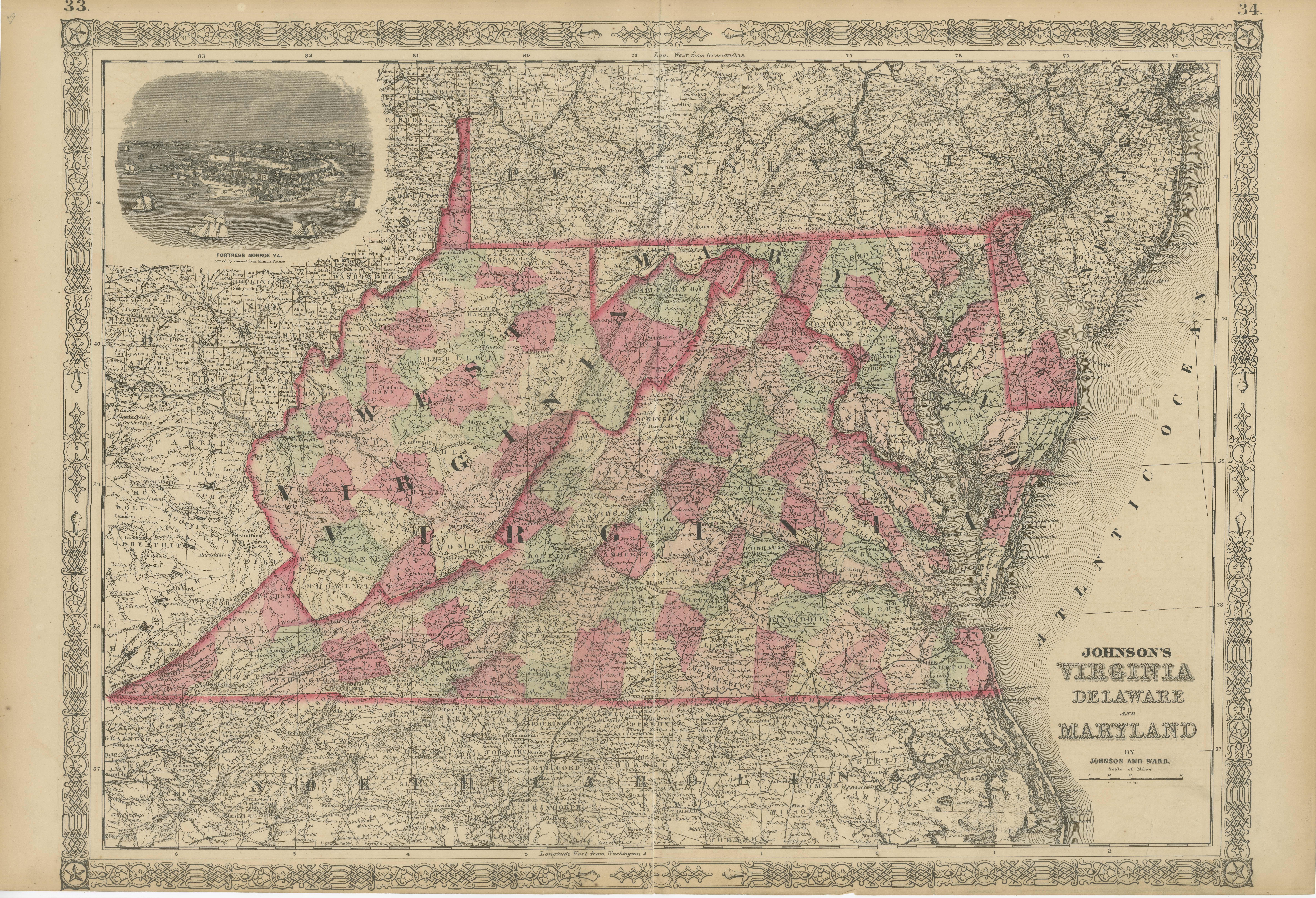
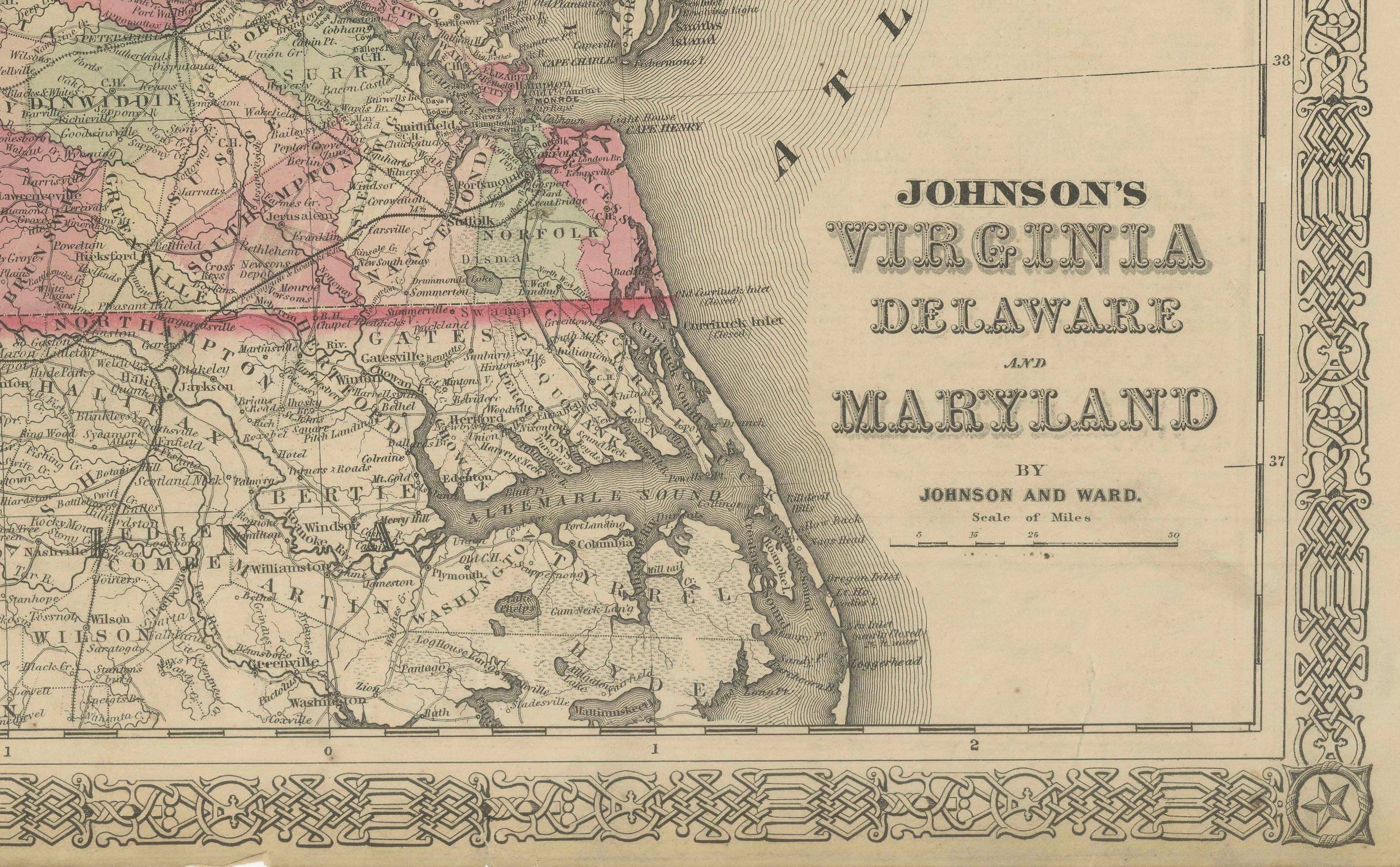
1864 Johnson's Map of Virginia, Delaware, and Maryland with Fort Monroe Inset
€ 300
One of a kind: this is the sheet in the photographs. Ships from Langweer, the Netherlands.
Date
1864
Sheet size
45.7 × 67 cm (18.0 × 26.4 in)
Condition
Good
Reference
BG-13952-10
Condition
condition, with light yellowing along the edges, consistent with its age. The central fold, from its original inclusion in an atlas, is evident but well-maintained. The colors are bright.
About this sheet
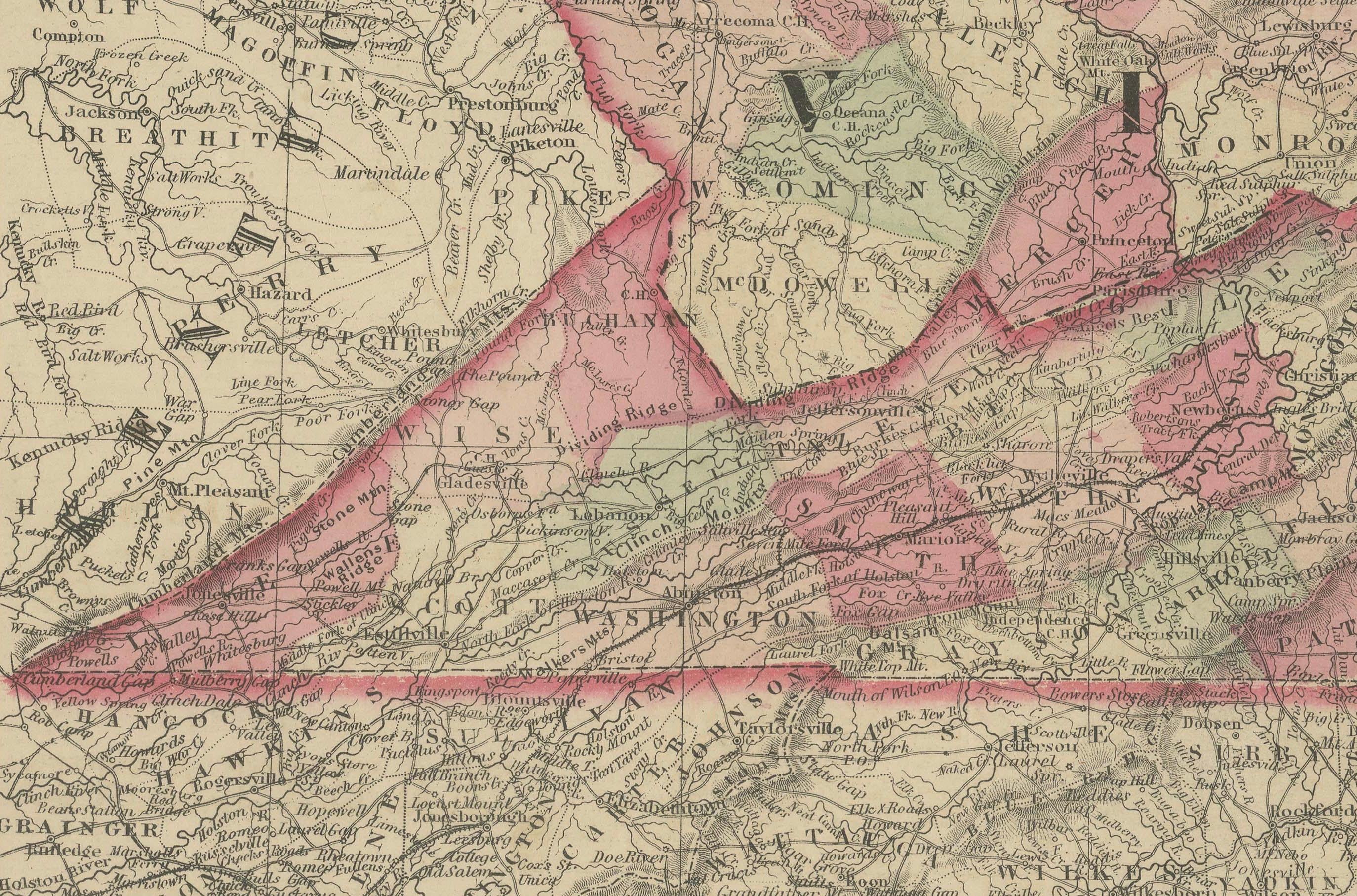
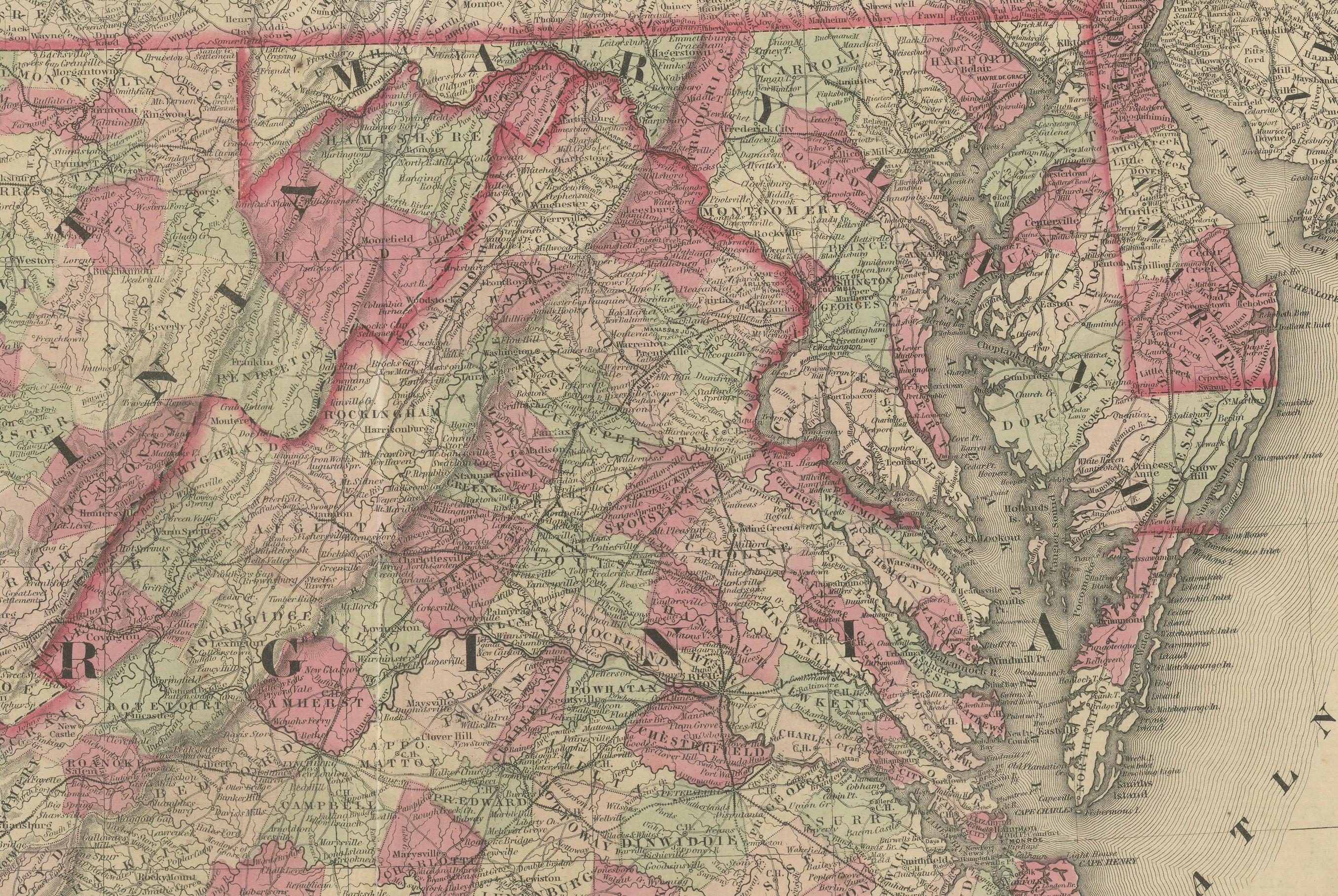
This 1864 map titled "Johnson's Virginia, Delaware, and Maryland," published by Johnson and Ward, offers a detailed view of three key states in the mid-Atlantic region of the United States during the Civil War era. The map provides an intricate depiction of counties, cities, railroads, rivers, and topographical features, with each state highlighted in distinct hand-colored shades to help differentiate the boundaries.
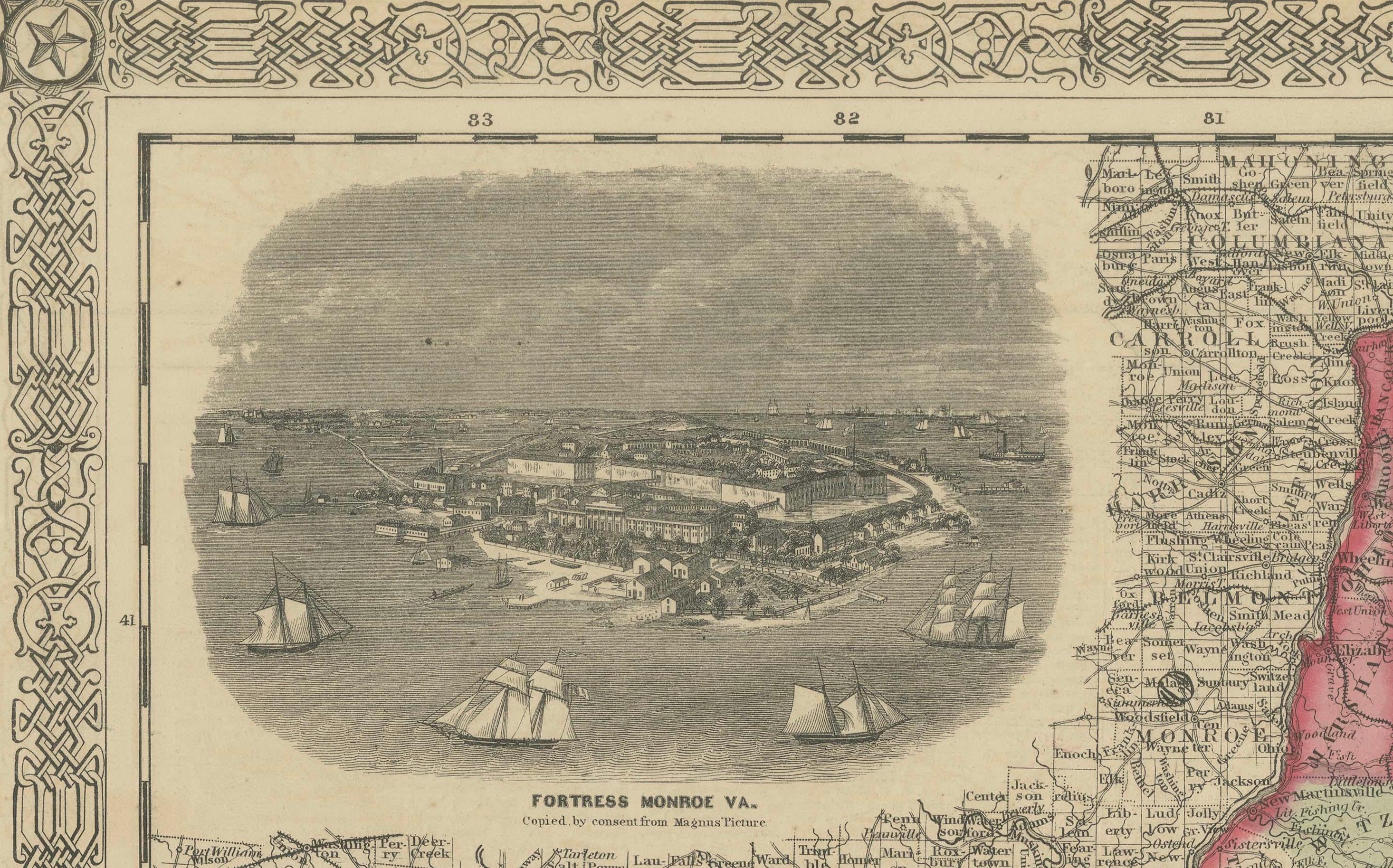
An interesting feature of this map is the inset illustration of Fort Monroe, Virginia, showing a view of this significant Union stronghold at the entrance of Hampton Roads. Fort Monroe played a key role in the Civil War, particularly as a point of refuge for escaped enslaved people and as a strategic base for Union forces.
Condition: The map is in good condition, with some typical age-related yellowing along the margins. The hand-coloring remains vivid, providing clear distinction between the counties and states. The central fold, likely from its atlas origin, is visible but does not interfere with the overall legibility of the map. The decorative border is well-preserved, and the inset of Fort Monroe adds historical context and visual interest, making it a valuable piece for collectors interested in Civil War history and 19th-century cartography.