Victorian Visions of the New World: A Detailed Tallis Map of North America, 1851
€ 360
Original antique · The actual sheet photographed · Certificate of authenticity on request · Sold unframed · Worldwide shipping from € 15 (rates)
Date
1851
Sheet size
36.2 × 27.2 cm (14.3 × 10.7 in)
Condition
Good
Reference
BG-13736-17
What the condition grades mean
Excellent
Bright and clean, with no faults worth mentioning.
Very good
Only light signs of age, such as faint toning.
Good
Normal signs of age for a sheet of this period: toning, some foxing, small marks or neat old repairs.
Fair
Clear faults such as staining, tears or repairs, priced to match.
Every fault we see is written in the condition note, and the whole sheet is shown uncropped in the photos.
Condition
Good given age. Original fold in middle as published. General age-related toning, please study scan carefully.
About this sheet
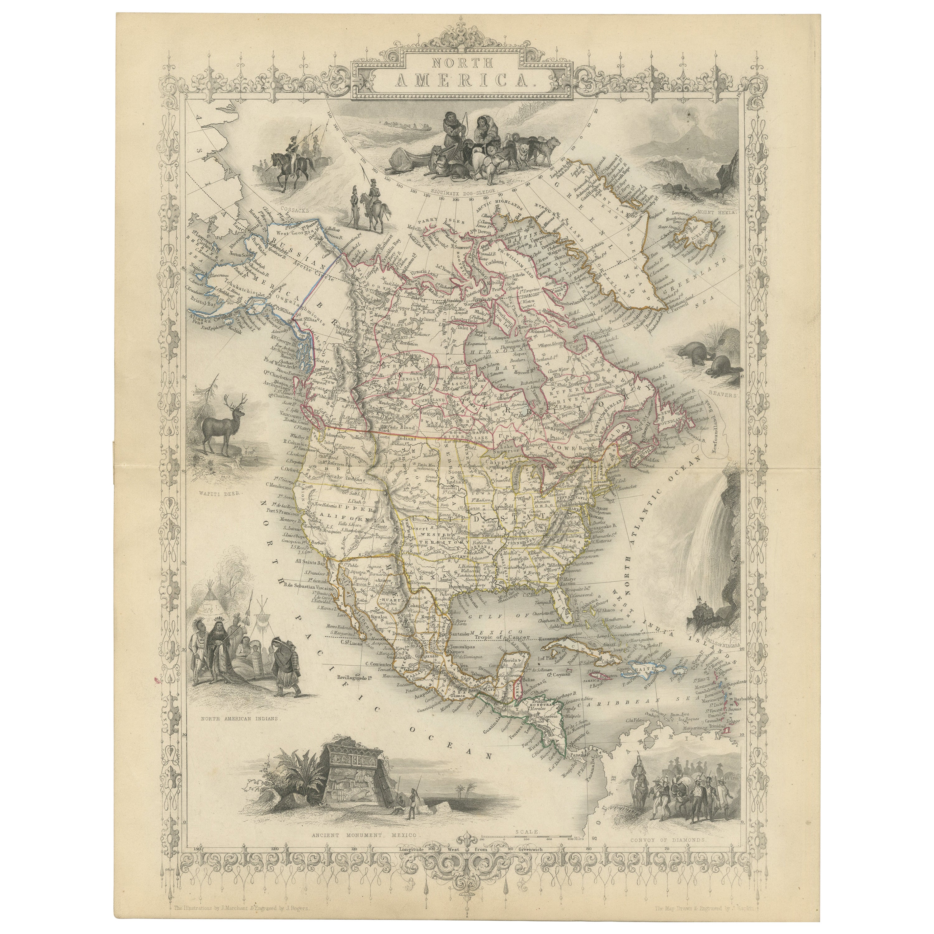
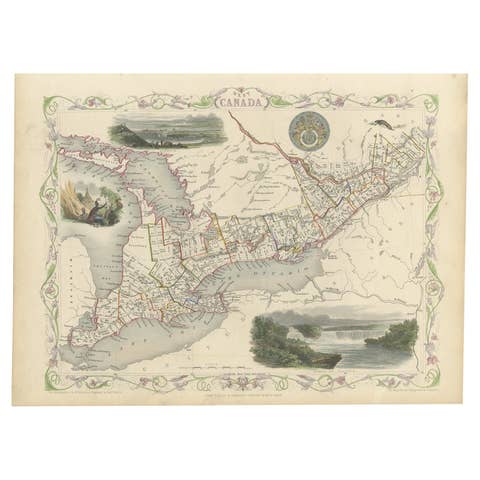
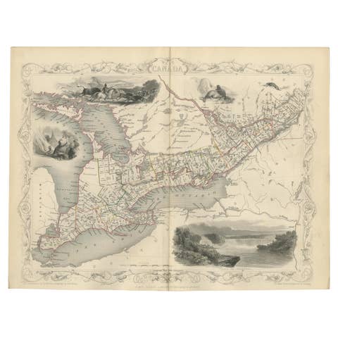
The map presented here is an intricate example from the series of maps produced by John Tallis & Company. Tallis maps are known for their detailed and elaborate style, often including ornate borders and vignettes that add a narrative element to the geographical representation. They are a blend of cartography and Victorian artistic sensibilities.
The mapmaker, John Tallis, is recognized for his mid-19th-century maps that were not only tools for navigation but also for education and display, reflecting the era's fascination with geography and empire. The collaboration with John Rapkin, the cartographer, ensured that the maps were both accurate for their time and aesthetically appealing.
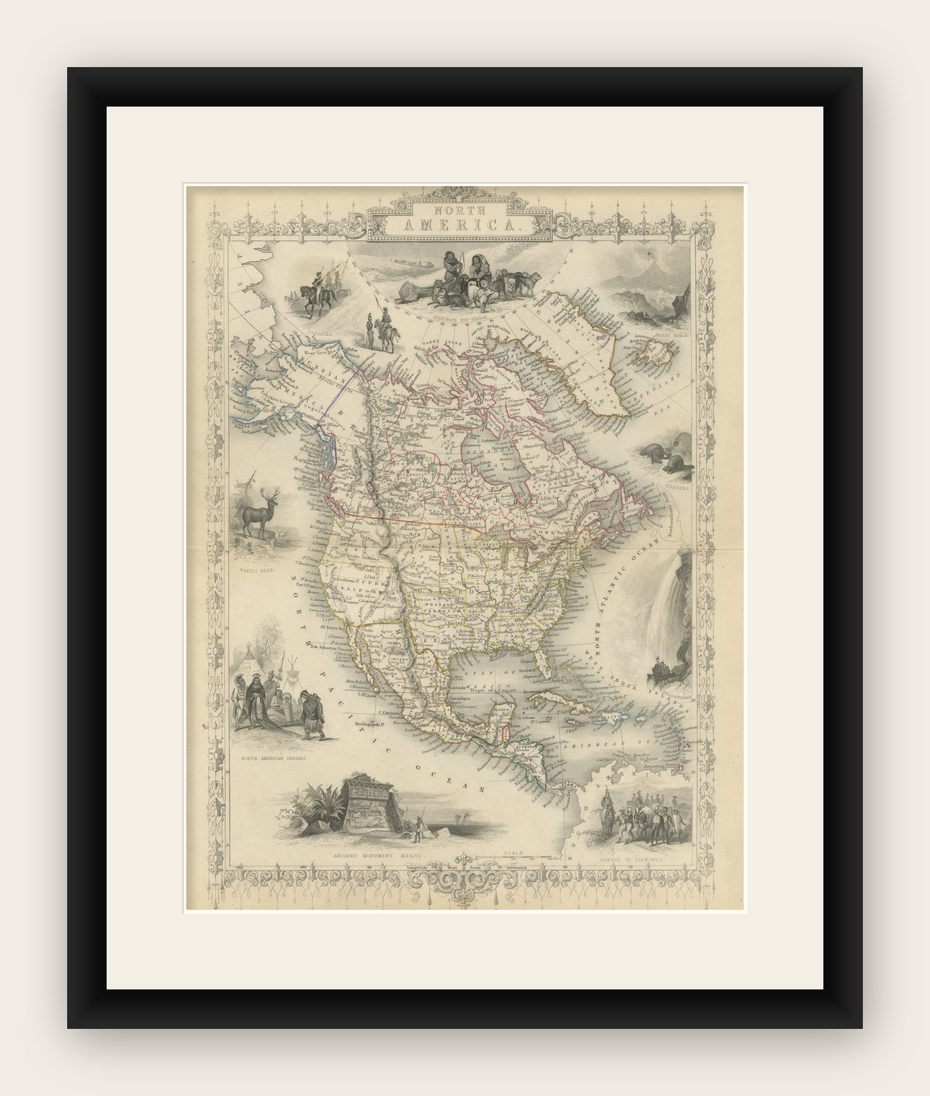
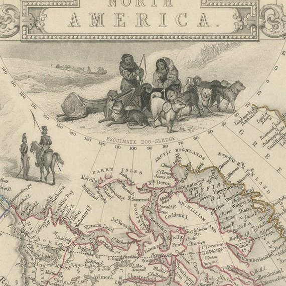
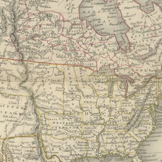
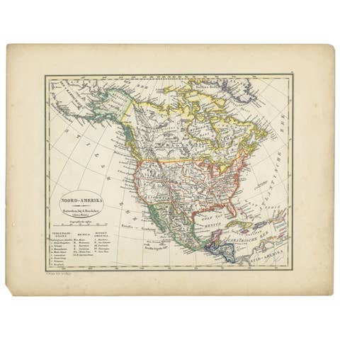
This particular map illustrates North America, detailing the political boundaries, cities, and topography with hand-colored regions. The vignettes surrounding the map are of particular interest:
- Top Left: Depicts what seems to be indigenous people of the Arctic region, interacting with European explorers or traders. This scene might represent the meeting of cultures in the northern parts of North America. - Top Right: Illustrates polar scenes, with a focus on polar bears, which captures the imagination and represents the unknown territories. - Bottom Left: Shows a group of North American Indigenous peoples in traditional attire, providing a romanticized glimpse into the lives of the original inhabitants of the continent. - Bottom Right: Depicts a group of figures in colonial attire, perhaps traders or explorers, with a ship in the background, representing exploration and trade. - Bottom Center: Features an ancient monument in Mexico, showcasing the historical and archaeological interest of the Victorian era in the pre-Columbian civilizations of North America.
Like the other maps in the Tallis series, this one is rich in cultural and historical context, and it's indicative of the British imperialistic view during that time. It was designed to illustrate the world under British influence and to appeal to the British public's sense of curiosity and ownership over diverse territories.
The series including maps of various parts of the British Empire and beyond was not only a display of cartographic achievement but also a showcase of the reach and diversity of the British Empire, with an underlying intention of impressing and educating the map’s viewers.