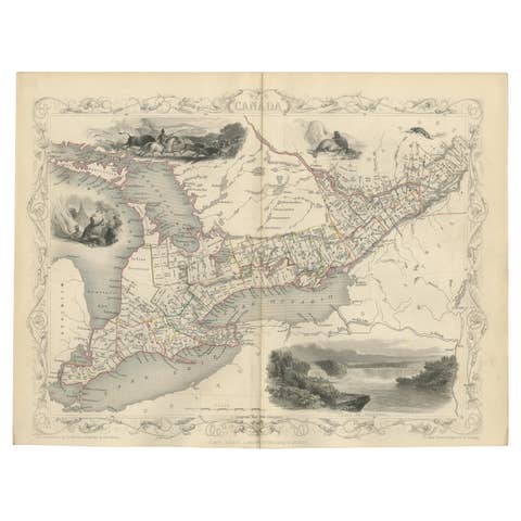
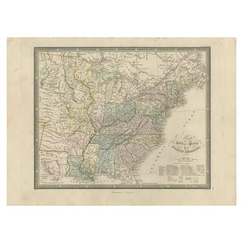
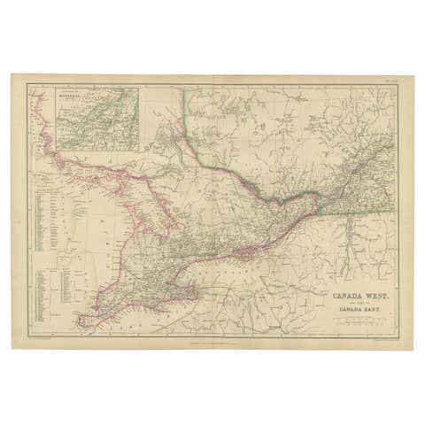
Beautiful Decorative Hand-Colored Antique Map of West Canada, 1851
€ 950
Original antique · The actual sheet photographed · Certificate of authenticity on request · Sold unframed · Worldwide shipping from € 15 (rates)
Date
1851
Sheet size
27 × 36.5 cm (10.6 × 14.4 in)
Reference
BG-04991
Condition
Very good, general age-related toning. Please review the images for further condition details.
About this sheet
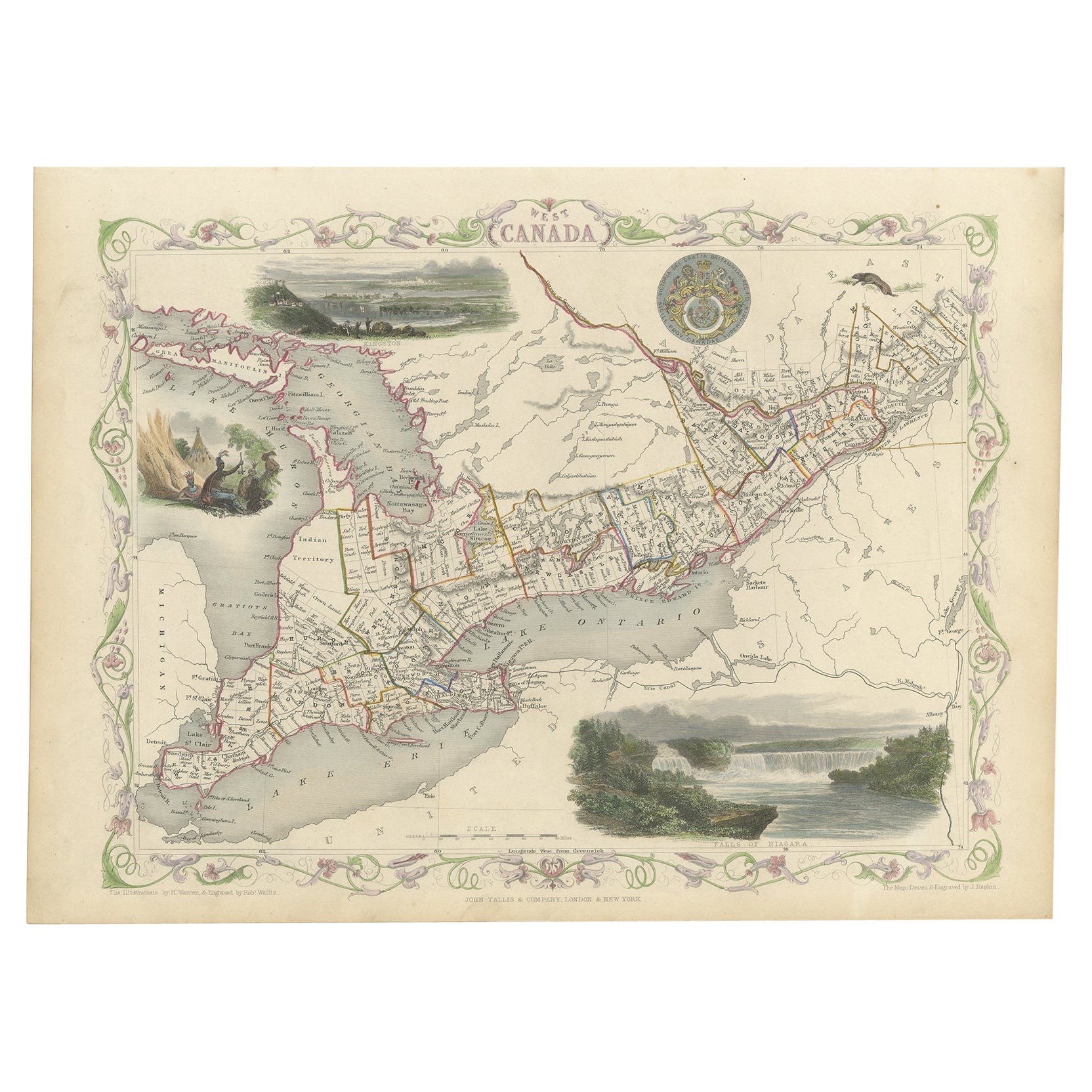
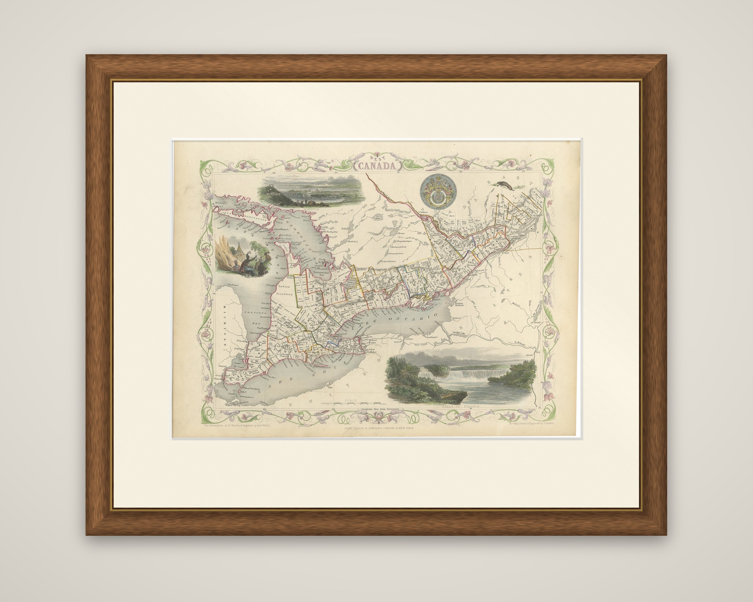
West Canada, an original antique map from The Illustrated Atlas, and Modern History of the World, edited by R. Montgomery Martin and published by John Tallis and Company in London and New York, 1851. The map was drawn and engraved by J. Rapkin, and is hand colored within a decorative border of floral vines.
The map shows Canada West, the former Upper Canada, between lakes Huron, Erie and Ontario, with the counties outlined in color and the towns, roads and rivers lettered throughout. Georgian Bay, Lake Simcoe, the Ottawa River and the Niagara frontier are drawn, with Michigan lettered at the left. Three decorative vignettes frame the map: a view of Kingston at the top left, a camp scene with figures and a tent at the left, and the Falls of Niagara at the lower right. A coat of arms appears at the top.
Canada West was the name of the western half of the united Province of Canada from 1841 until Confederation in 1867, when it became Ontario. John Tallis published the Illustrated Atlas in the years around the Great Exhibition of 1851, and its vignettes and engraved borders make the maps among the most decorative of the century.