Original antique · The actual sheet photographed · Certificate of authenticity on request · Sold unframed · Worldwide shipping from € 15 (rates)
Date
1852
Sheet size
31 × 24.5 cm (12.2 × 9.6 in)
Condition
Good
Reference
BG-12593-25
What the condition grades mean
Excellent
Bright and clean, with no faults worth mentioning.
Very good
Only light signs of age, such as faint toning.
Good
Normal signs of age for a sheet of this period: toning, some foxing, small marks or neat old repairs.
Fair
Clear faults such as staining, tears or repairs, priced to match.
Every fault we see is written in the condition note, and the whole sheet is shown uncropped in the photos.
Condition
General age-related toning, blank verso. Minor wear. Please review the images for further condition details.
About this sheet
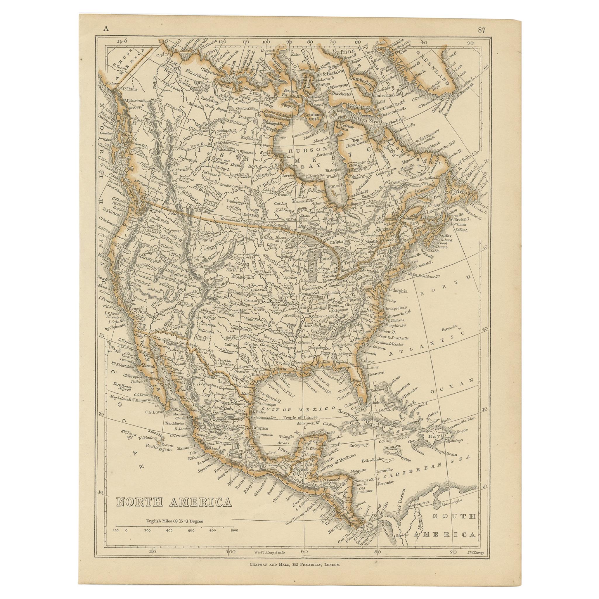
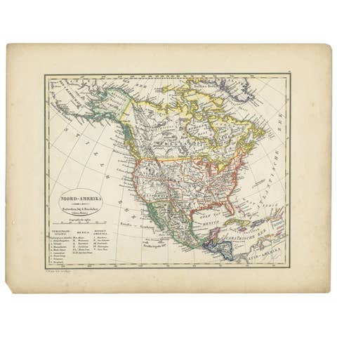
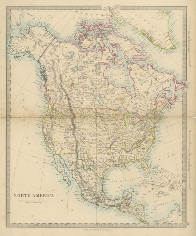
North America, an original map from Lowry's Table Atlas, constructed and engraved from the most recent authorities, by J.W. Lowry, dated 1852. The sheet is printed in black with the coastlines washed in orange, and carries the imprint of Chapman and Hall, Piccadilly, London, at the foot.
The continent is drawn in full from the Arctic islands, Baffin Bay and Greenland at the top to Central America and the Caribbean at the bottom, with the plain title "North America" lettered at the lower left and an English-miles scale beneath it. Hudson Bay, the Great Lakes, the Gulf of Mexico and the Mississippi system are clearly shown, and the interior is covered with rivers, mountain ranges and the names of towns and districts. The Pacific coast at the left and the Atlantic seaboard at the right are lettered with capes, bays and harbors, and the northern part of South America appears at the lower right.
The atlas page number is printed in the upper corner, and the map is a compact continental summary from the middle of the nineteenth century.