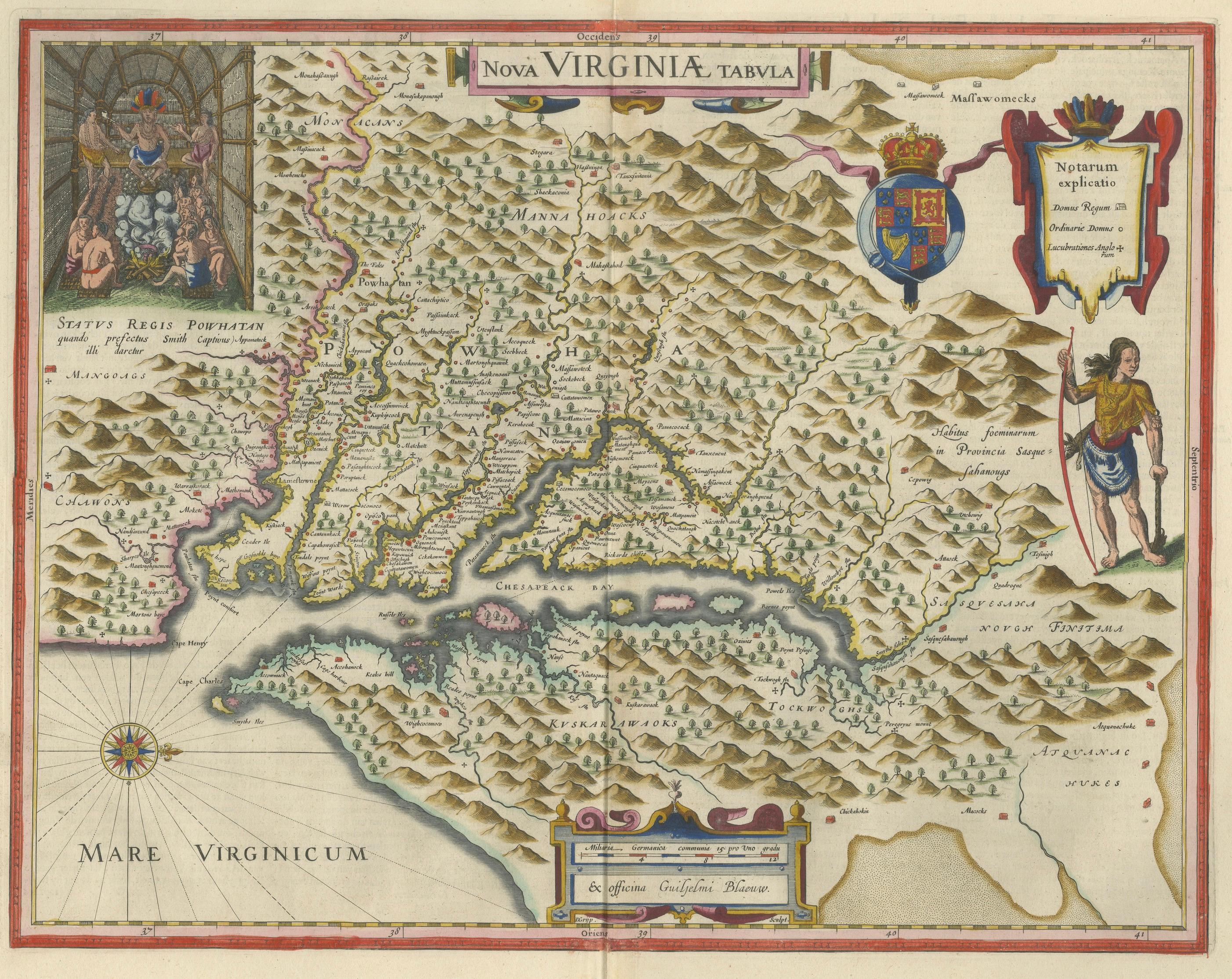
Antique Virginia Map Blaeu c.1642 – Jamestown, Powhatan, Chesapeake
€ 7 250
Original antique · The actual sheet photographed · Certificate of authenticity on request · Sold unframed · Worldwide shipping from € 15 (rates)
Date
1642
Sheet size
50 × 59 cm (19.7 × 23.2 in)
Condition
Good
Reference
HP-083
What the condition grades mean
Excellent
Bright and clean, with no faults worth mentioning.
Very good
Only light signs of age, such as faint toning.
Good
Normal signs of age for a sheet of this period: toning, some foxing, small marks or neat old repairs.
Fair
Clear faults such as staining, tears or repairs, priced to match.
Every fault we see is written in the condition note, and the whole sheet is shown uncropped in the photos.
Condition
Good condition with age-related toning. Original center fold as issued. Light discoloration and minor wear to the margins, consistent with age. Paper remains strong and stable. A well-preserved and attractive impression.
About this sheet
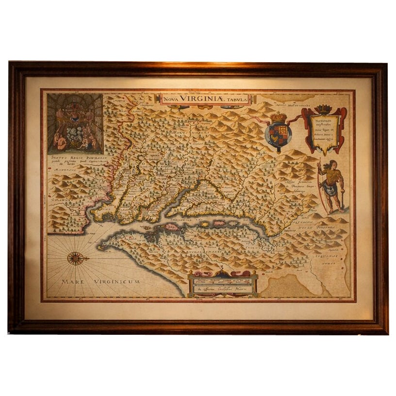
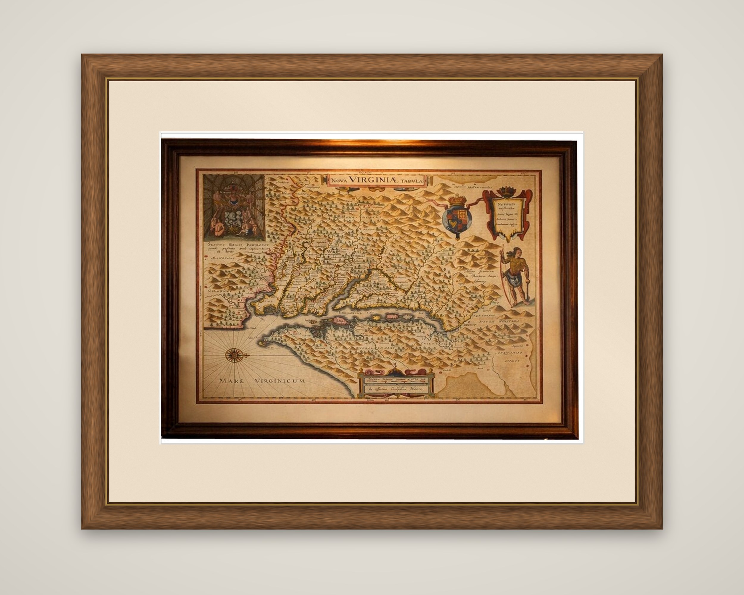
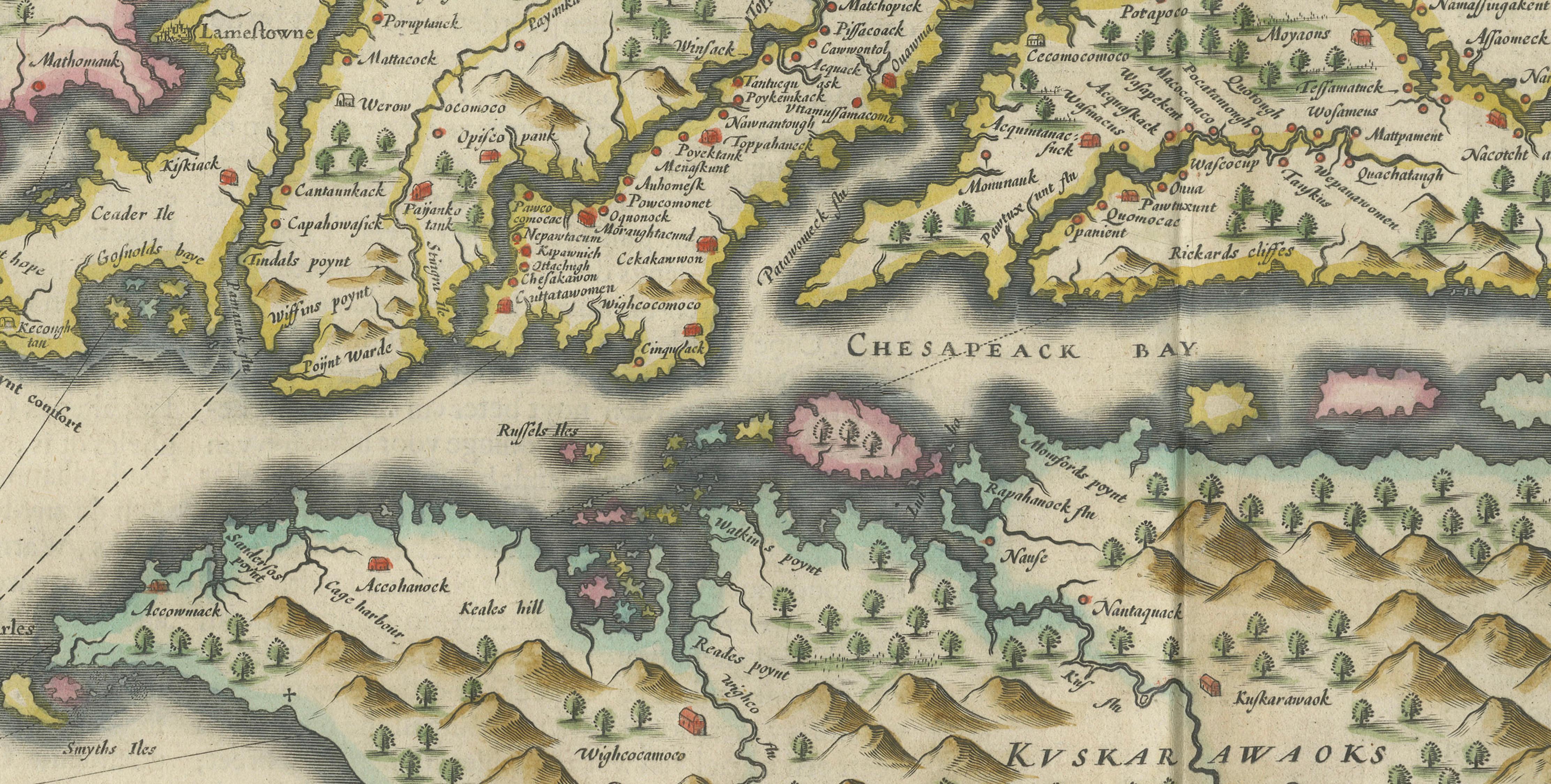
Virginia and the Chesapeake Bay region, a map titled "Nova Virginiae Tabula", published by Willem Blaeu in his atlas Toonneel des Aerdrycx around 1640 to 1642. It is an original copper engraving with hand color, based on the survey work of Captain John Smith.
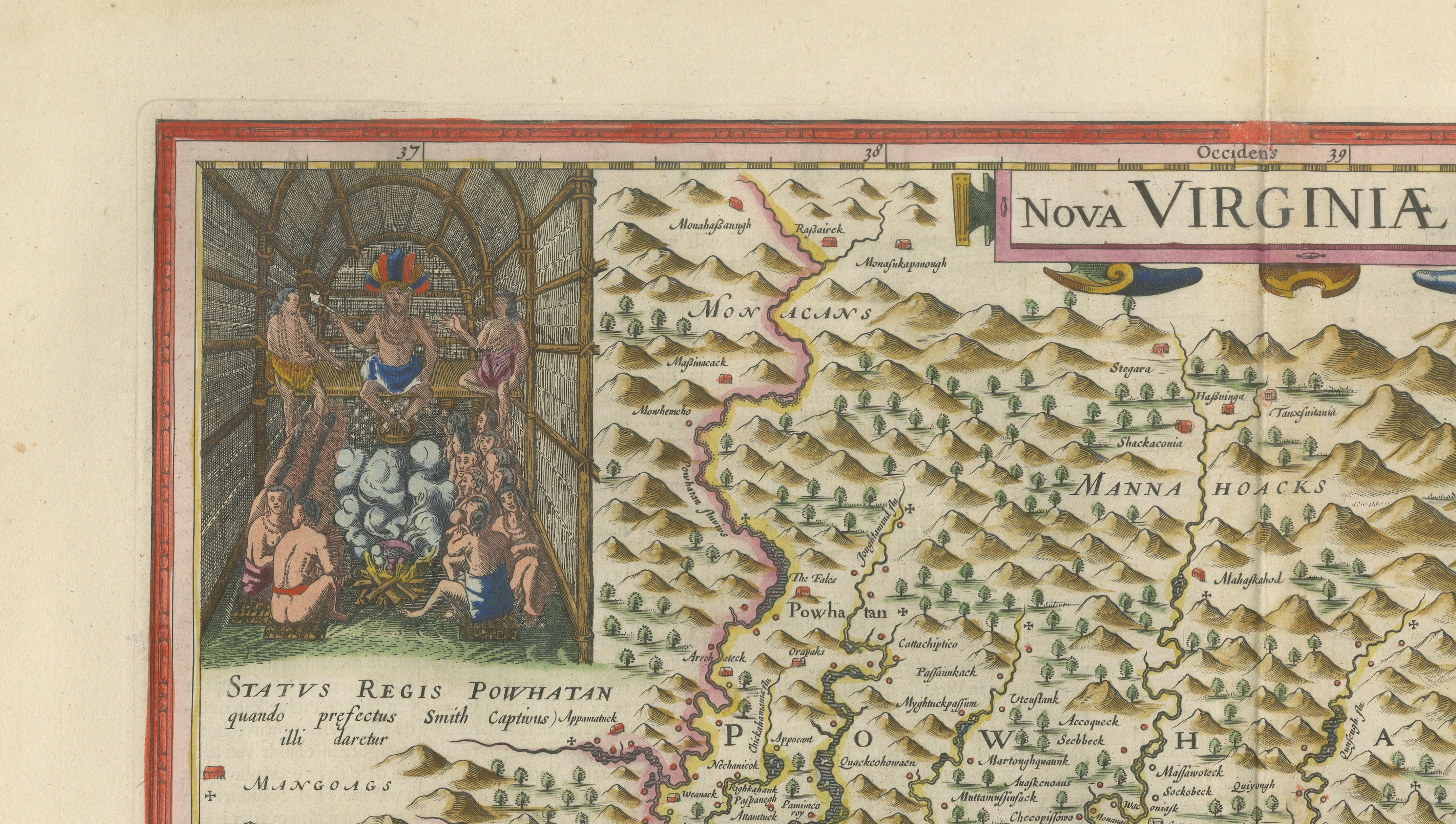
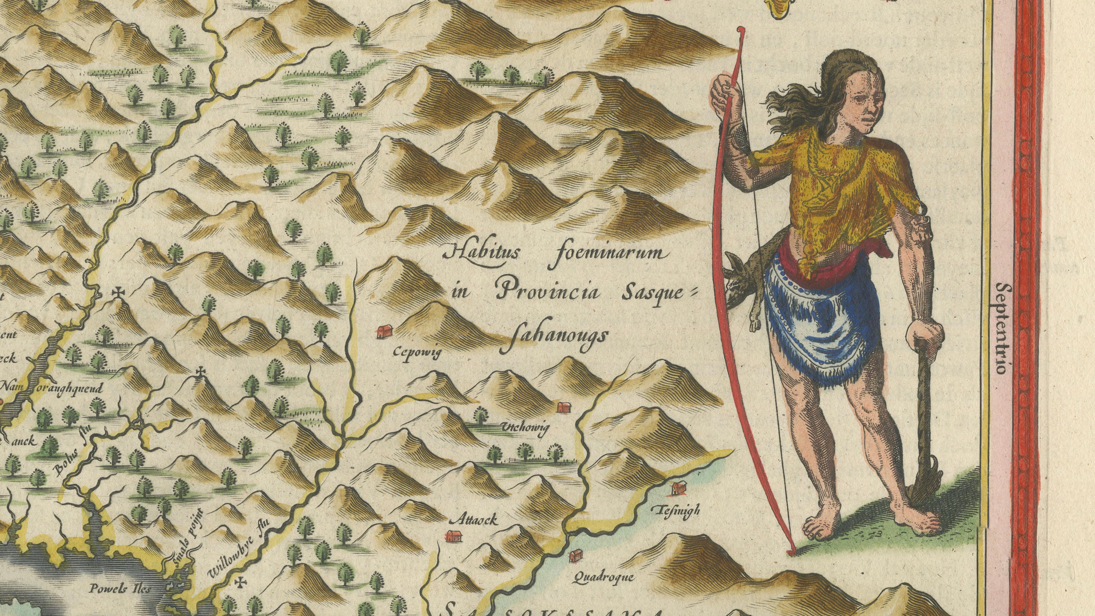
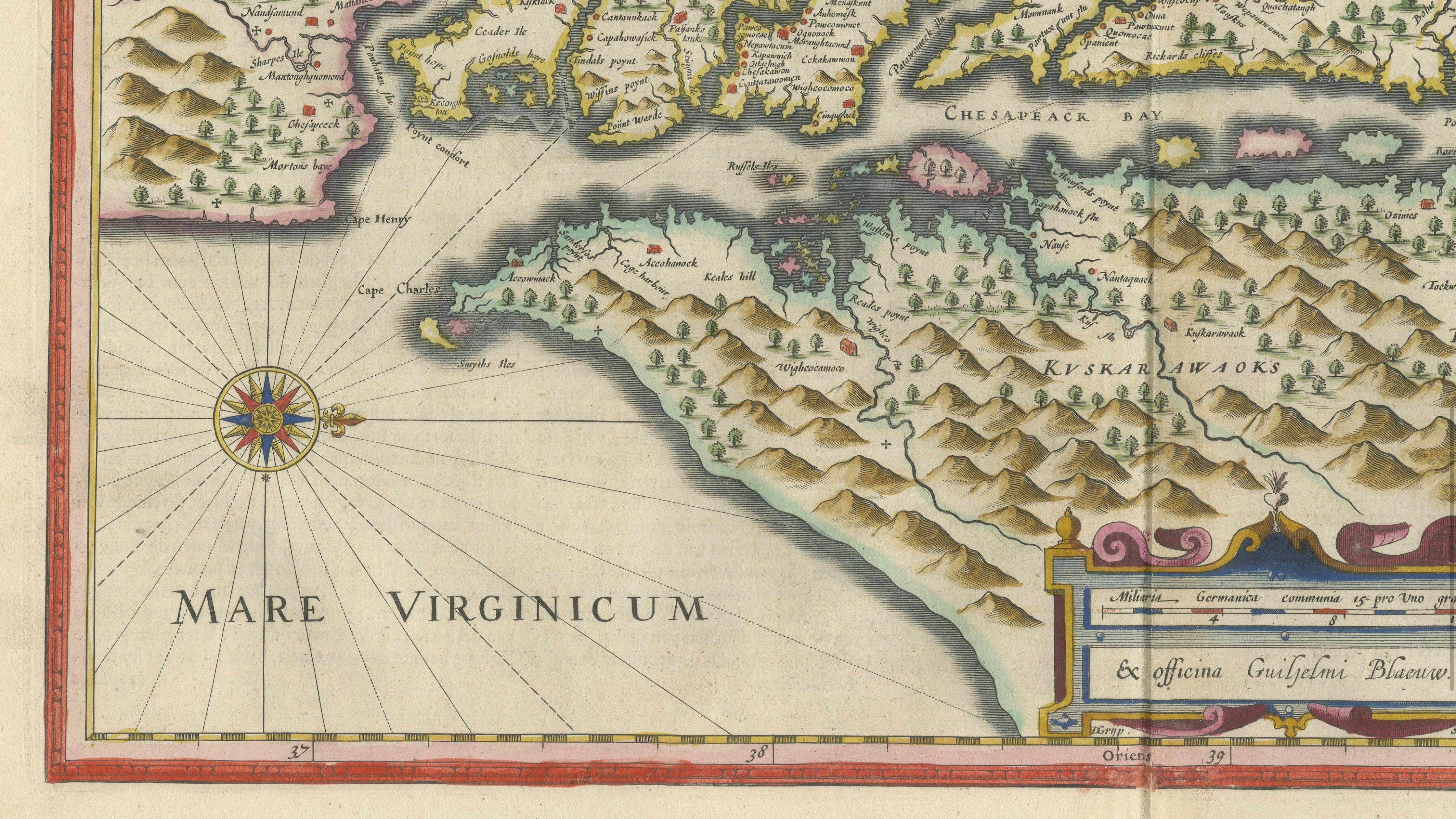
The Chesapeake is the center of the composition, with the rivers of the Tidewater drawn in detail and carrying English and native place names, among them Jamestown on the James River. Rows of mountains in pictorial relief fill the interior, and the Atlantic coast and the open "Mare Virginicum" appear at the lower left with a compass rose. At the upper left a framed vignette shows the court of the Powhatan chief, a seated figure under a canopy among his attendants, with the heading "Sceptri Regis Powhatan", and at the right stands a tall native figure with a bow, beside a cartouche and a crowned coat of arms. A scale cartouche sits at the bottom center.
The map is of the English colony in its early years, with the Powhatan territories marked as the Smith map recorded them.