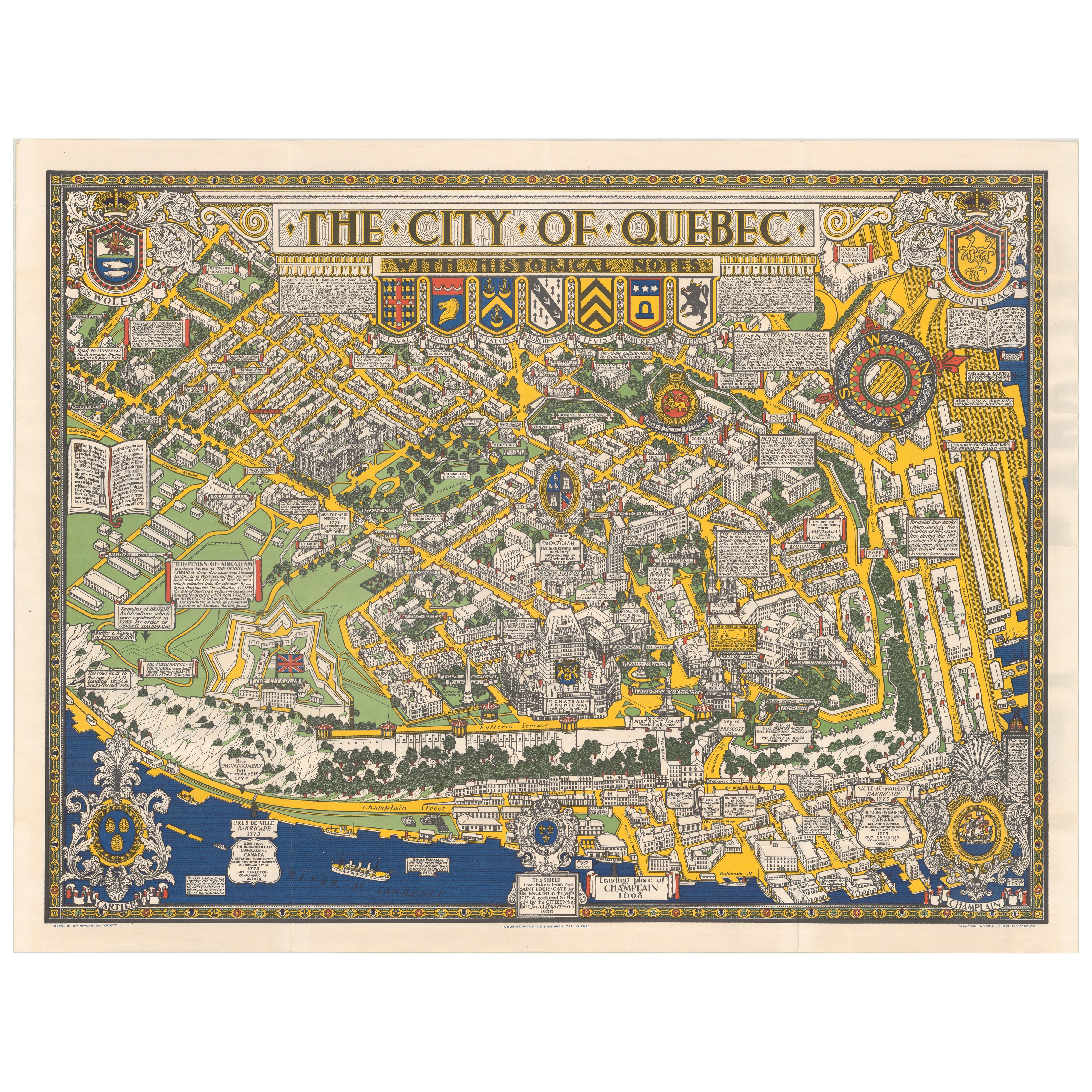
Quebec City Pictorial Map, The City of Quebec with Historical Notes, 1932
€ 685
One of a kind: this is the sheet in the photographs. Ships from Langweer, the Netherlands.
Date
1932
Sheet size
63.8 × 84.8 cm (25.1 × 33.4 in)
Condition
Good
Reference
BG-14193
Condition
A crisp, colorful example, originally issued folded, with only very light wear along the fold lines. The original envelope shows short edge tears and minor soiling, consistent with age and handling.
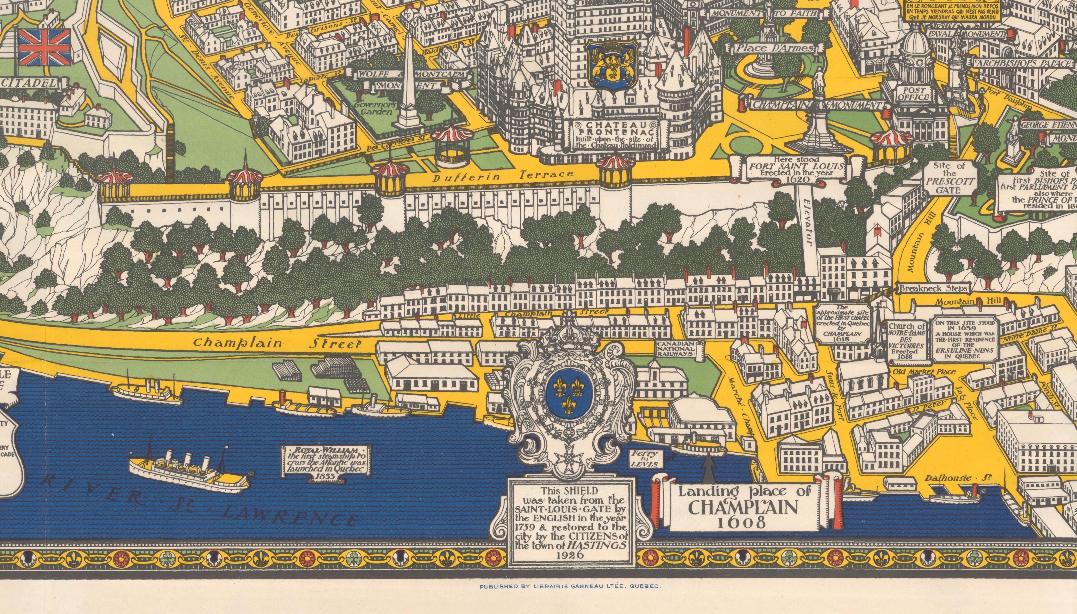
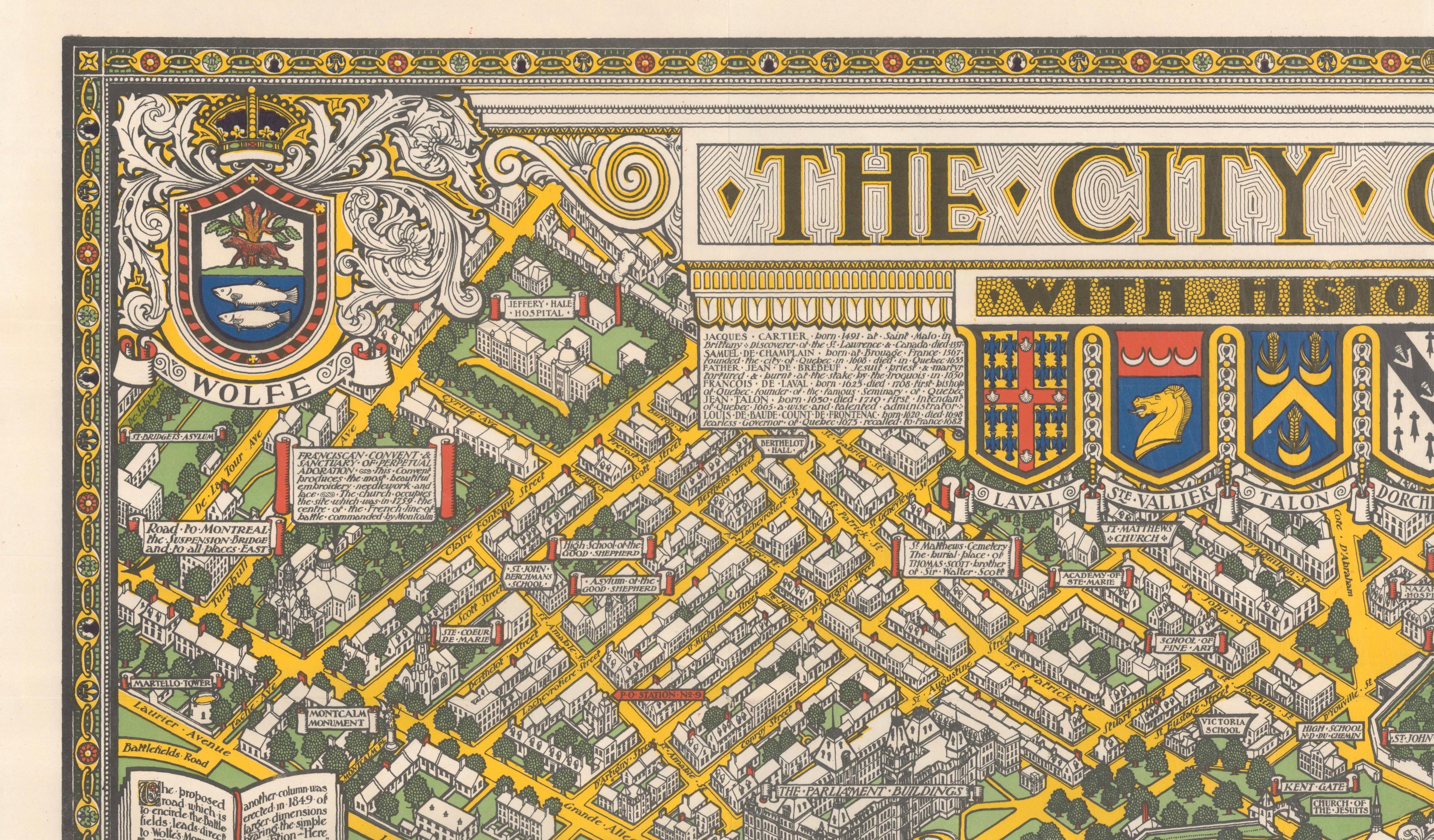
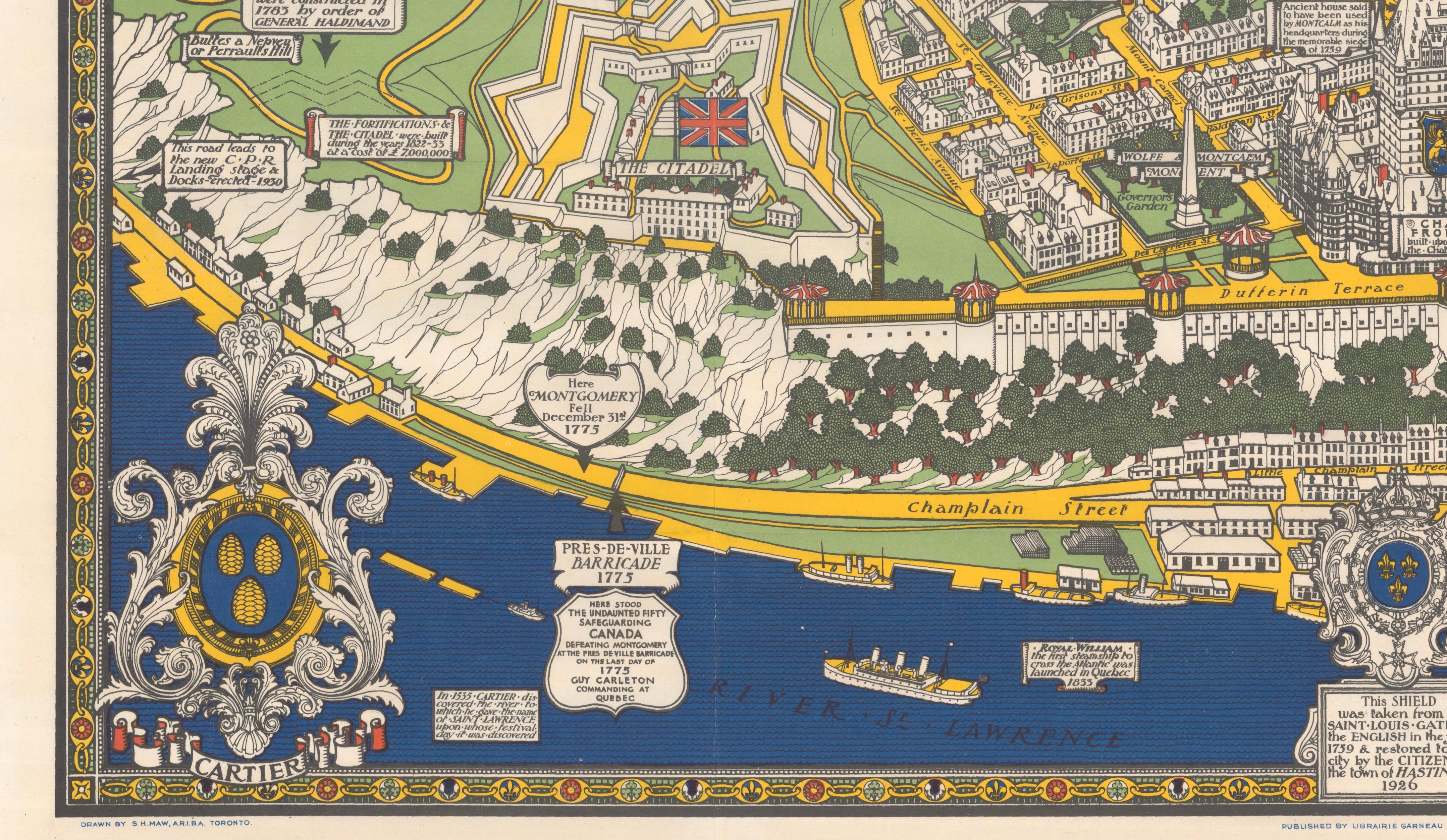
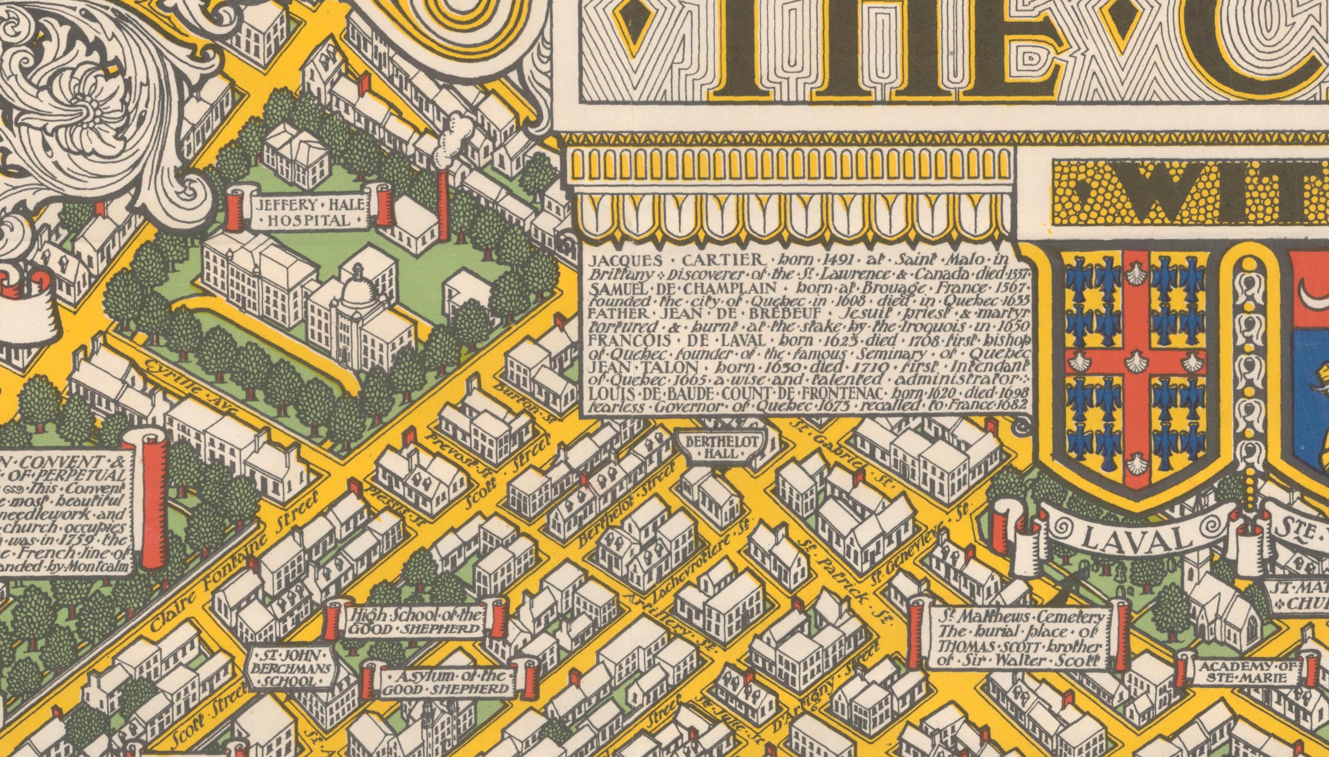
This striking pictorial map of Quebec City was created in 1932 by Samuel Herbert Maw and reflects the popular interwar tradition of decorative, information-rich city maps inspired by the work of MacDonald Gill. The composition is densely packed with streets, buildings, parks, fortifications, and landmarks, interwoven with historical notes that guide the viewer through the city’s past in a lively and engaging manner.
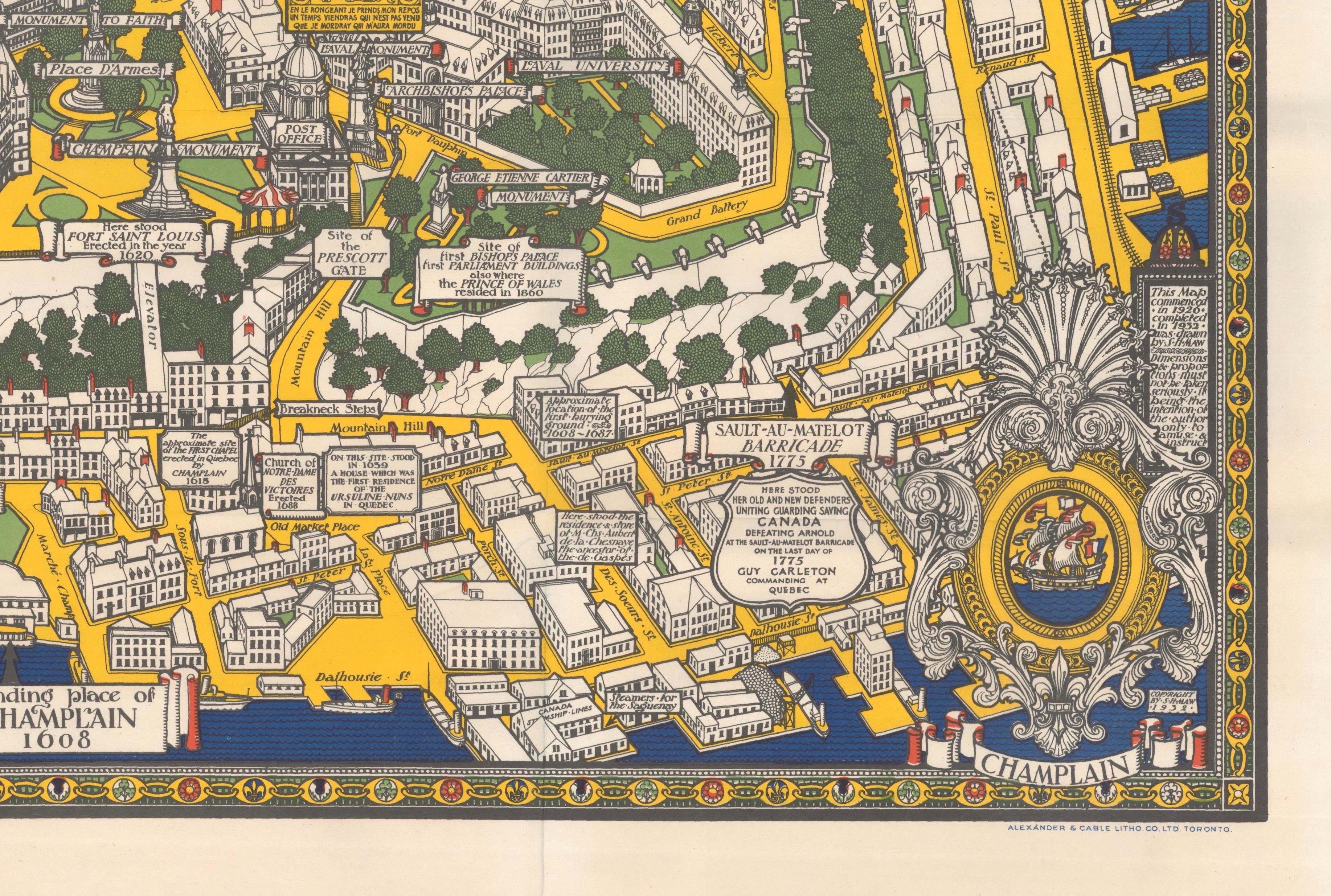
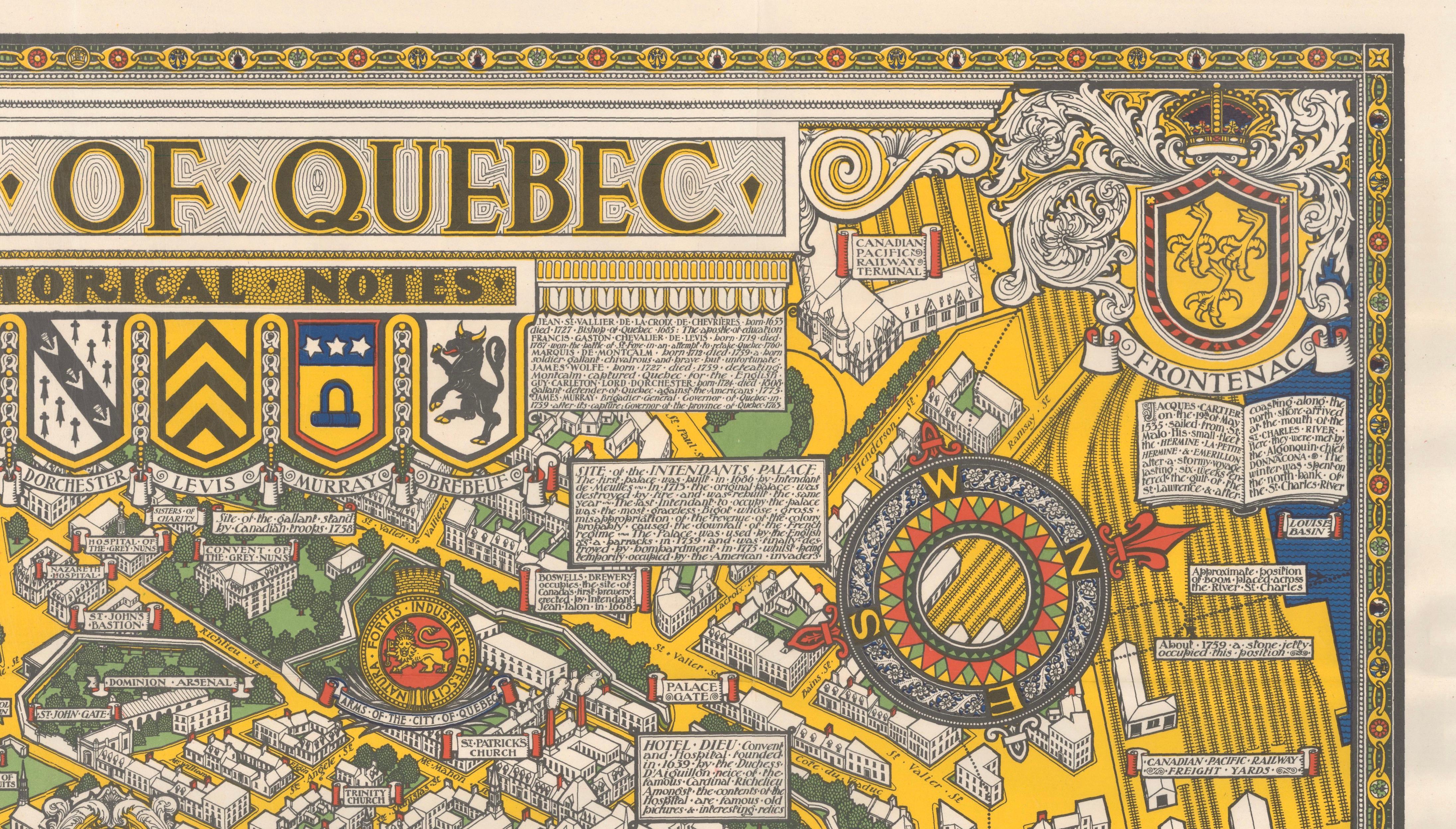
The map presents Quebec City in a deliberately playful and non-literal manner, as explicitly stated by the artist in a printed note at the lower right: the map was begun in 1926 and completed in 1932, and its dimensions and proportions are “not to be taken seriously,” the intention being to amuse as well as instruct. North is oriented to the right, indicated by a large and boldly designed compass rose. Throughout the sheet, architectural landmarks, civic buildings, and historic sites are carefully labeled, creating a richly layered visual narrative rather than a strictly cartographic document.
Decorative heraldic elements enhance the design, with the crests of Wolfe, Frontenac, Champlain, and Cartier incorporated into the corners of the map. The River St. Lawrence forms a strong visual anchor along the lower edge, while the fortified upper town and surrounding districts are rendered in a charming, almost storybook style. The overall effect is both educational and decorative, making the map as suitable for display as for close reading.
Samuel Herbert Maw was an English-born artist who produced several notable pictorial maps during his time in Canada, and this work stands among his most accomplished and visually engaging productions. This example is accompanied by the original publisher’s envelope, with the title and artist printed on the front, adding to its desirability and completeness.
Condition: A crisp, colorful example, originally issued folded, with only very light wear along the fold lines. The original envelope shows short edge tears and minor soiling, consistent with age and handling.