About this sheet
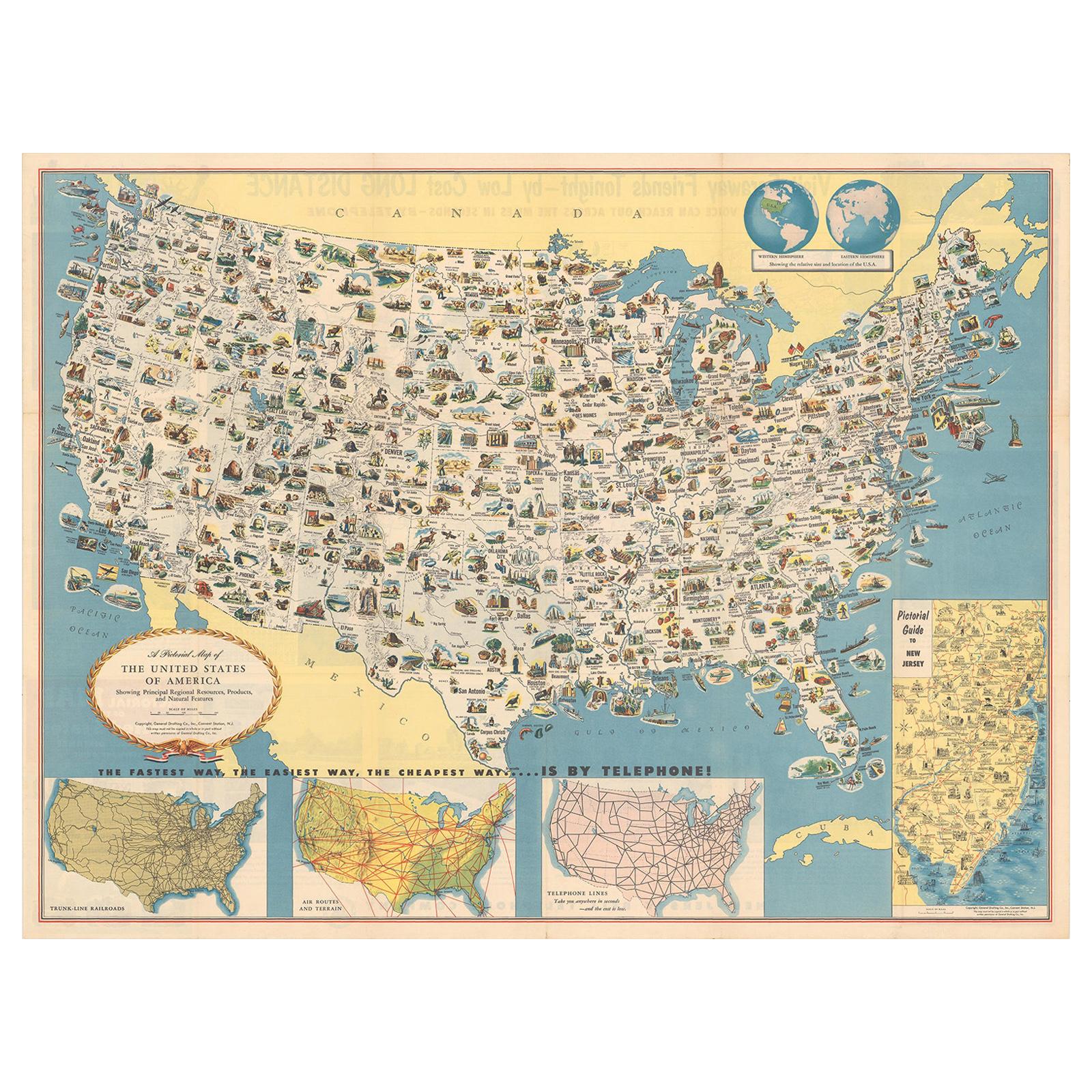
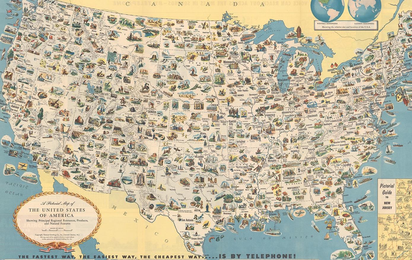
Antique map titled 'A Pictorial Map of the United States of America Showing Principal Regional Resources, Products, and Natural Features'.
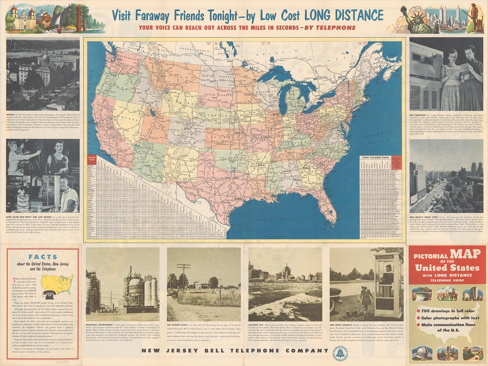
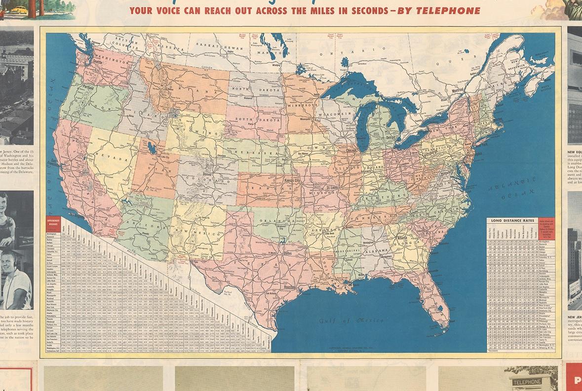
This information-packed map was create by the General Drafting Company for the New Jersey Bell Telephone Company. The main map features over 700 drawings in full color including points of interest, natural resources, and agricultural products. At bottom are inset maps showing railroad lines, air routes, telephone lines, as well as a pictorial map of New Jersey. The verso contains a road map of the United States with both a mileage chart and a telephone long distance pricing chart. This issue differs from the 1954 Department of State version which replaced the inset map of New Jersey with a table of facts about the United States.