Large Decorative Map of Westchester County New York 1931 – Linen-Backed Wall Map
€ 925
Original antique · The actual sheet photographed · Certificate of authenticity on request · Sold unframed · Worldwide shipping from € 15 (rates)
Date
1931
Sheet size
91.2 × 86.6 cm (35.9 × 34.1 in)
Condition
Good
Reference
BG-14195
What the condition grades mean
Excellent
Bright and clean, with no faults worth mentioning.
Very good
Only light signs of age, such as faint toning.
Good
Normal signs of age for a sheet of this period: toning, some foxing, small marks or neat old repairs.
Fair
Clear faults such as staining, tears or repairs, priced to match.
Every fault we see is written in the condition note, and the whole sheet is shown uncropped in the photos.
Condition
Issued folding, dissected and mounted on linen. Minor toning along some fold lines, with light foxing and a small amount of soiling near the upper edge. Overall a well-preserved and attractive example, with strong color.
About this sheet
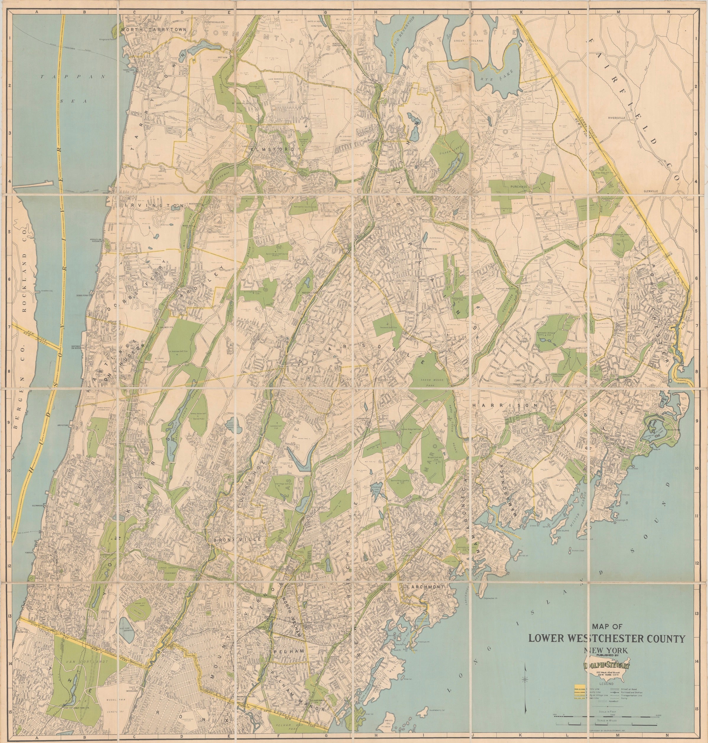
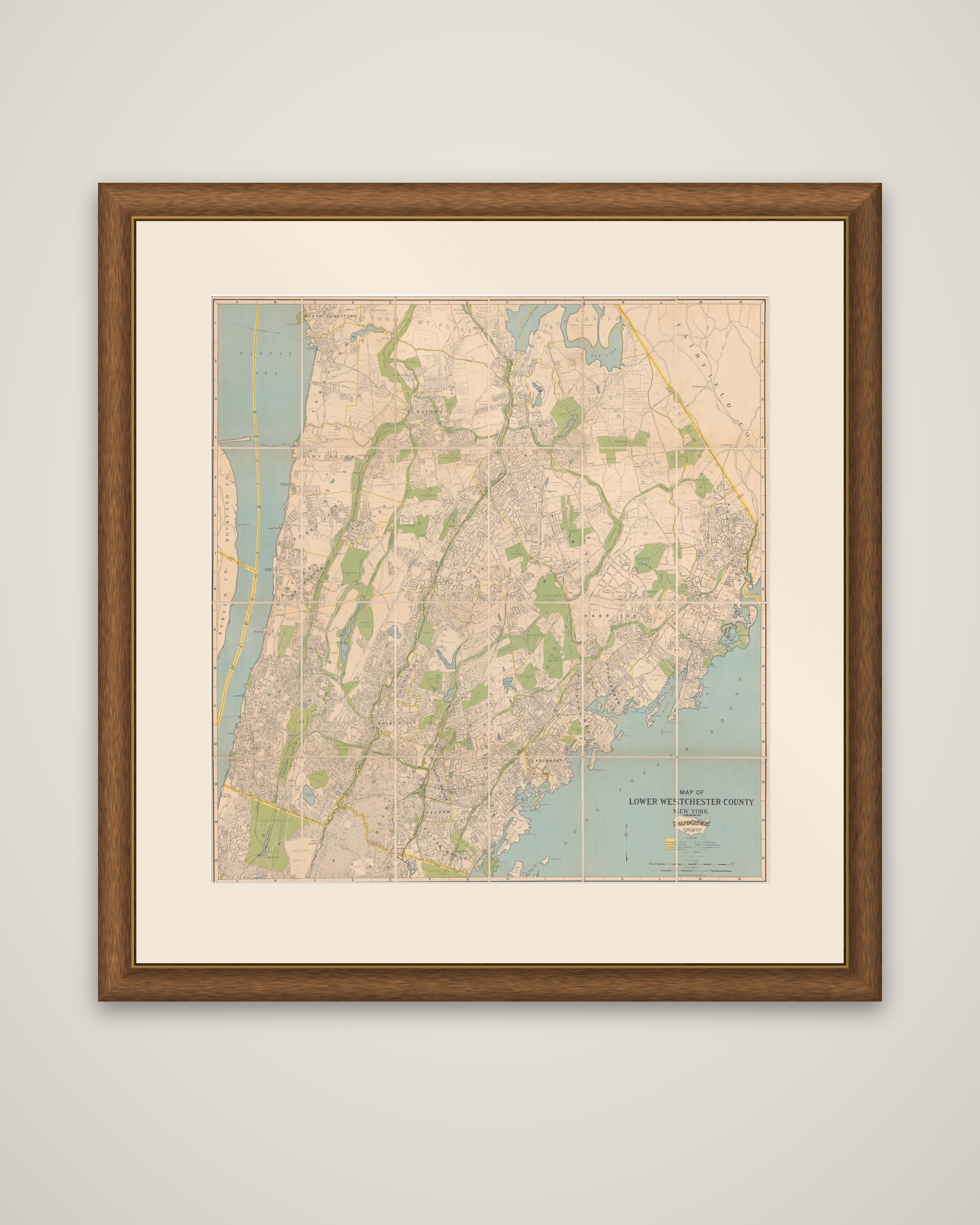
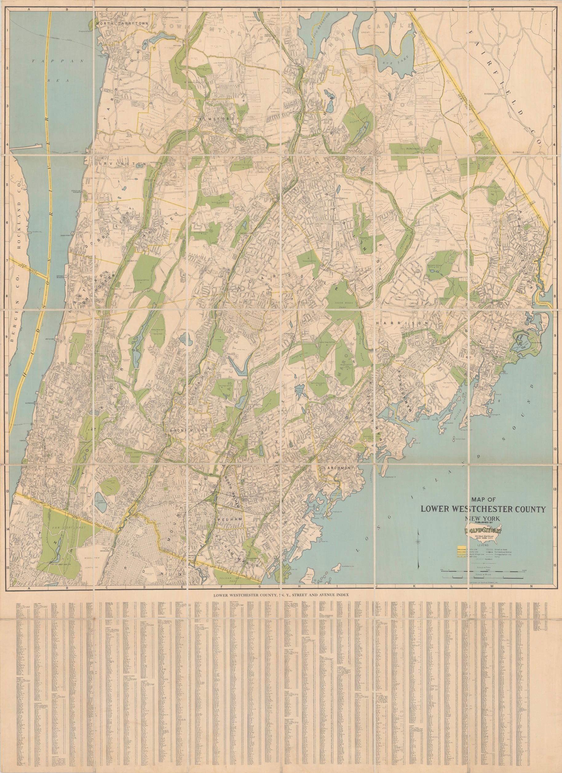
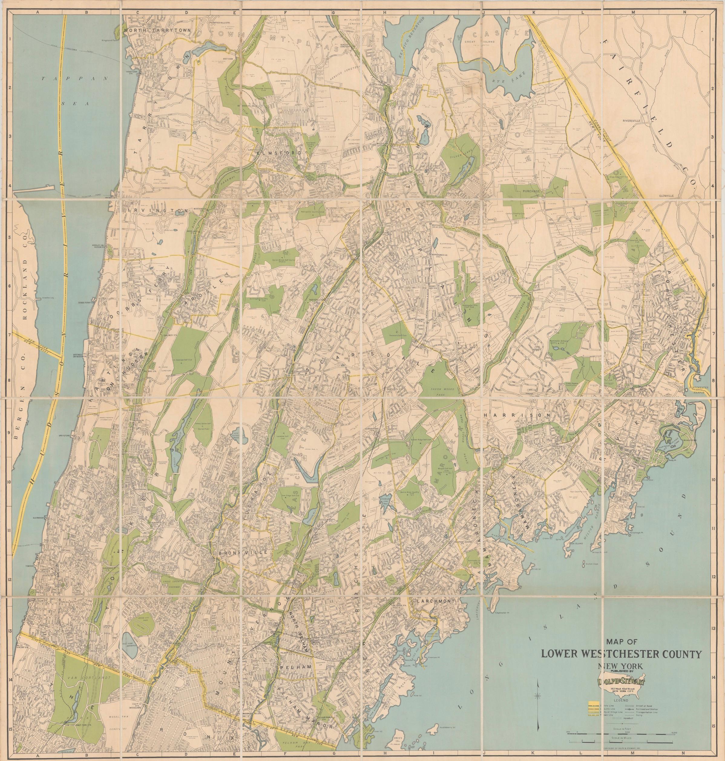
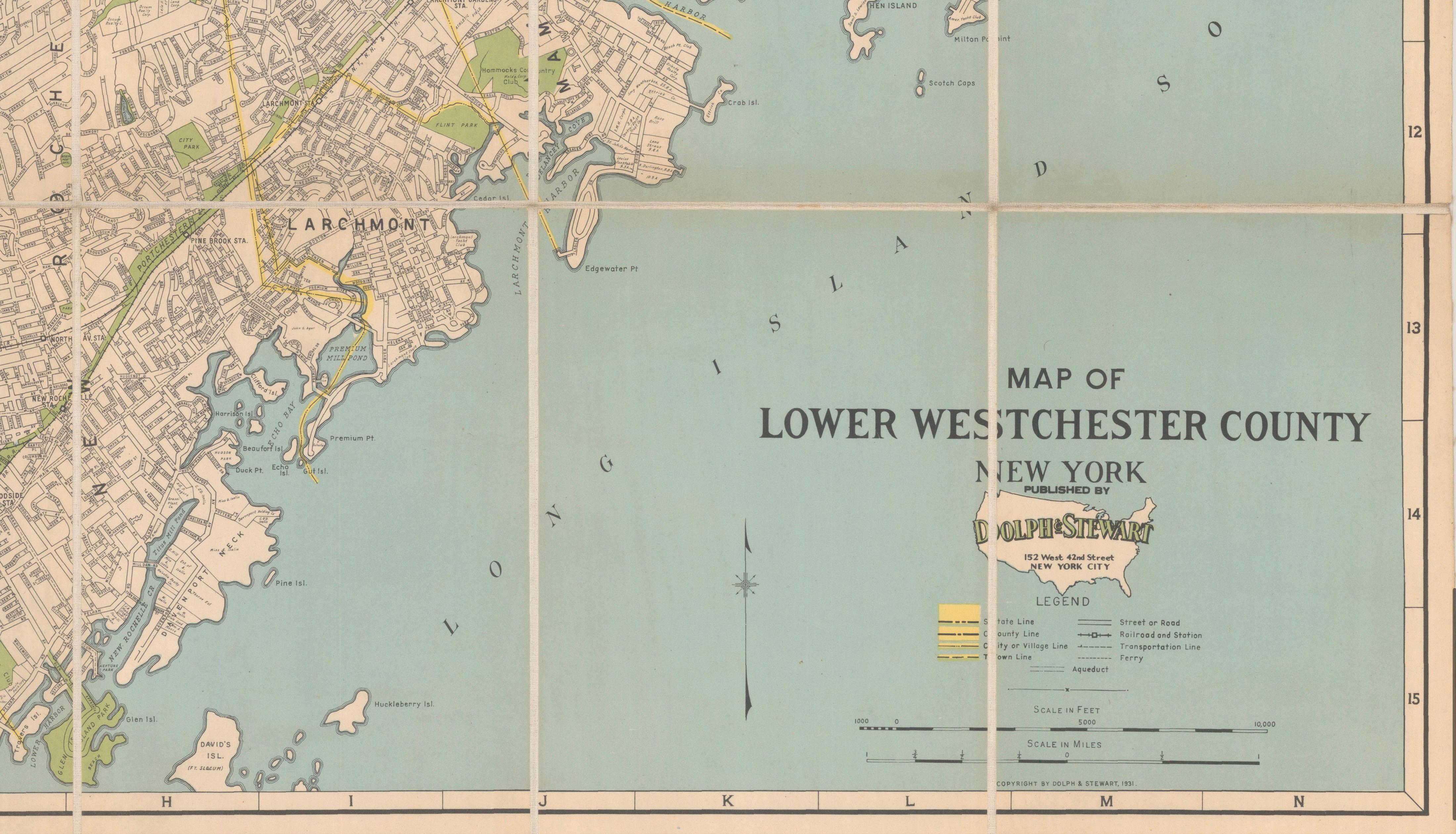
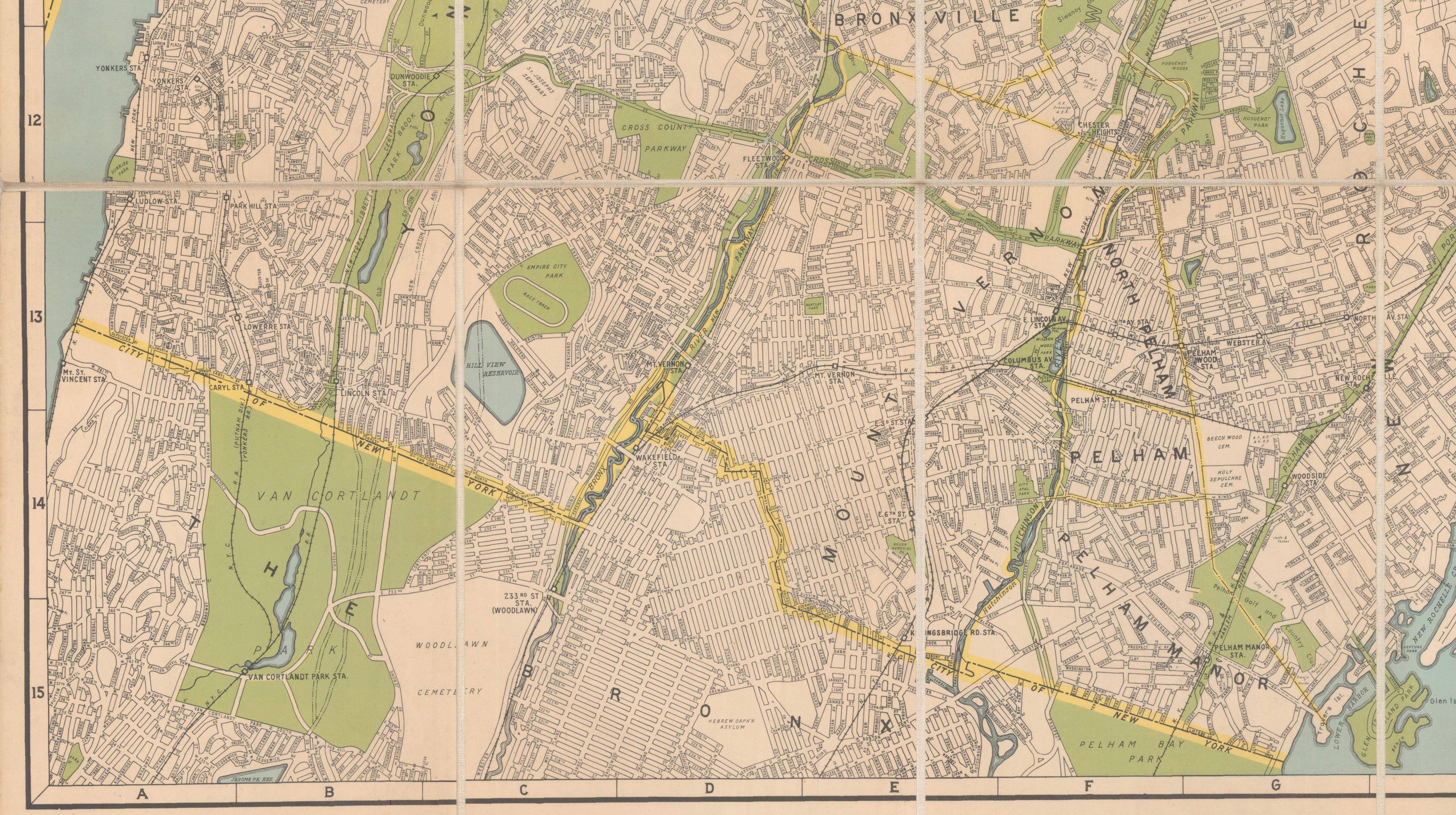
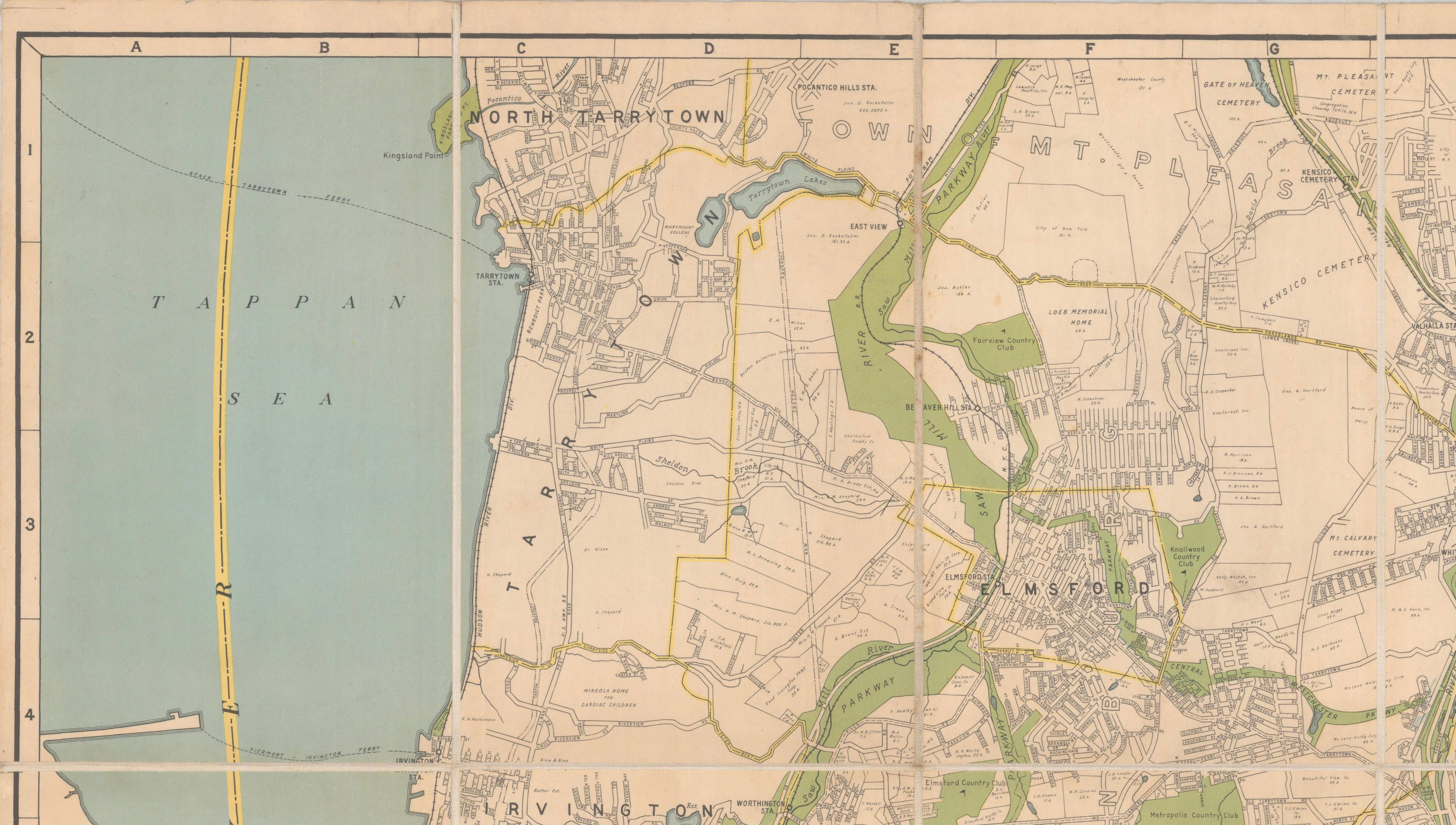
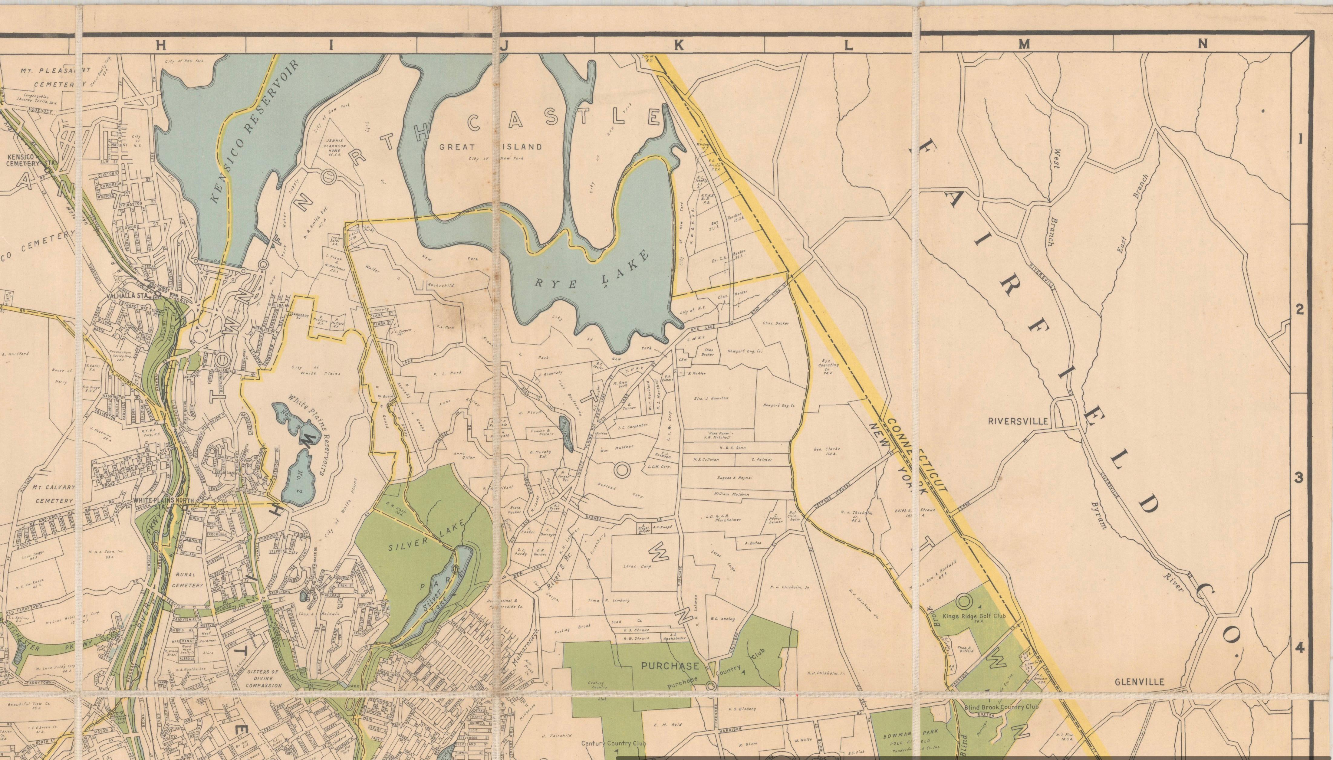
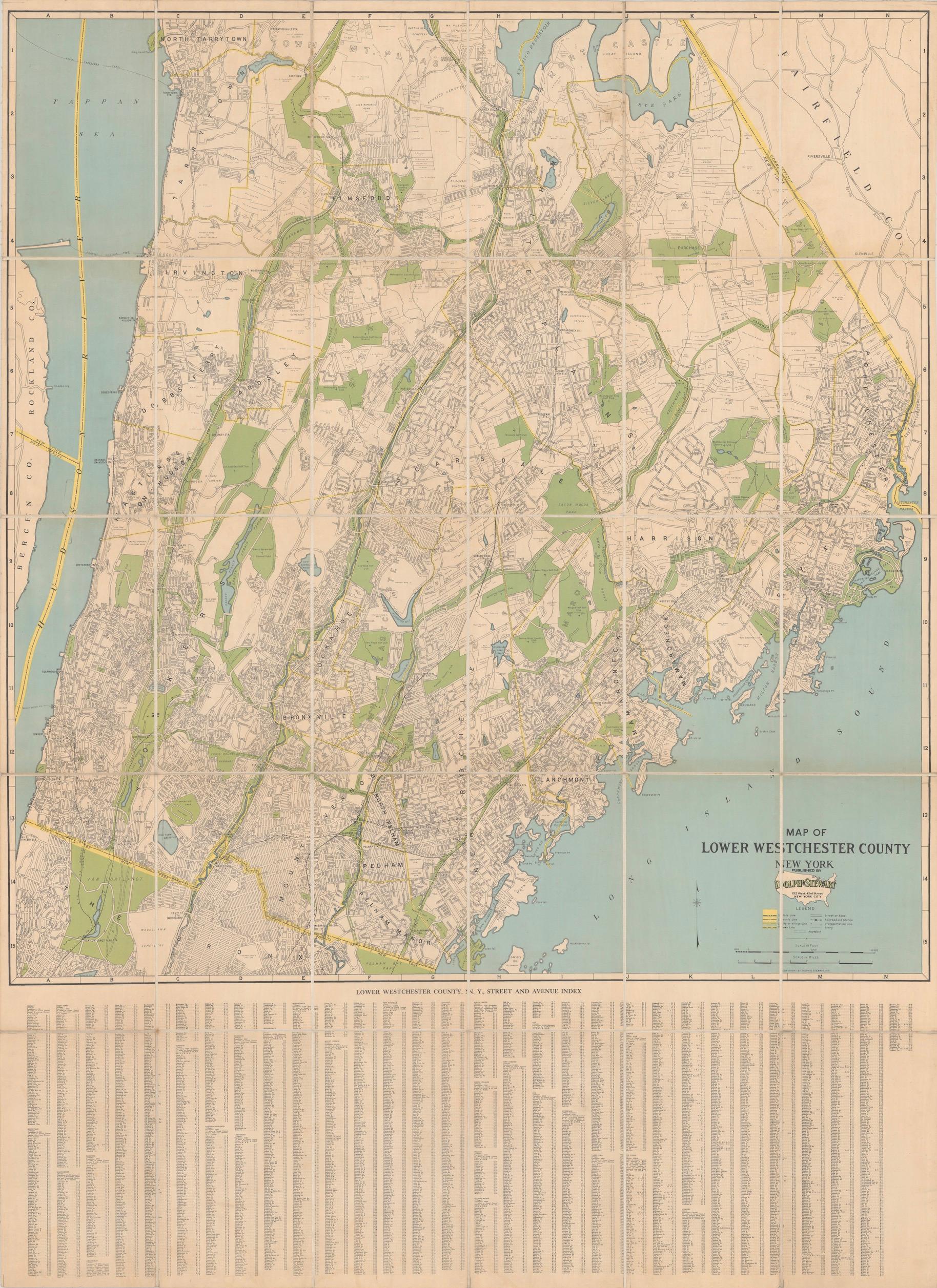
Lower Westchester County, New York, in 1931, an original large-format map published by Dolph & Stewart, titled "Map of Lower Westchester County New York." The sheet is printed in color and has been dissected and mounted on linen, as issued, so that the large map folds; the cut sections form a regular grid visible across the face.
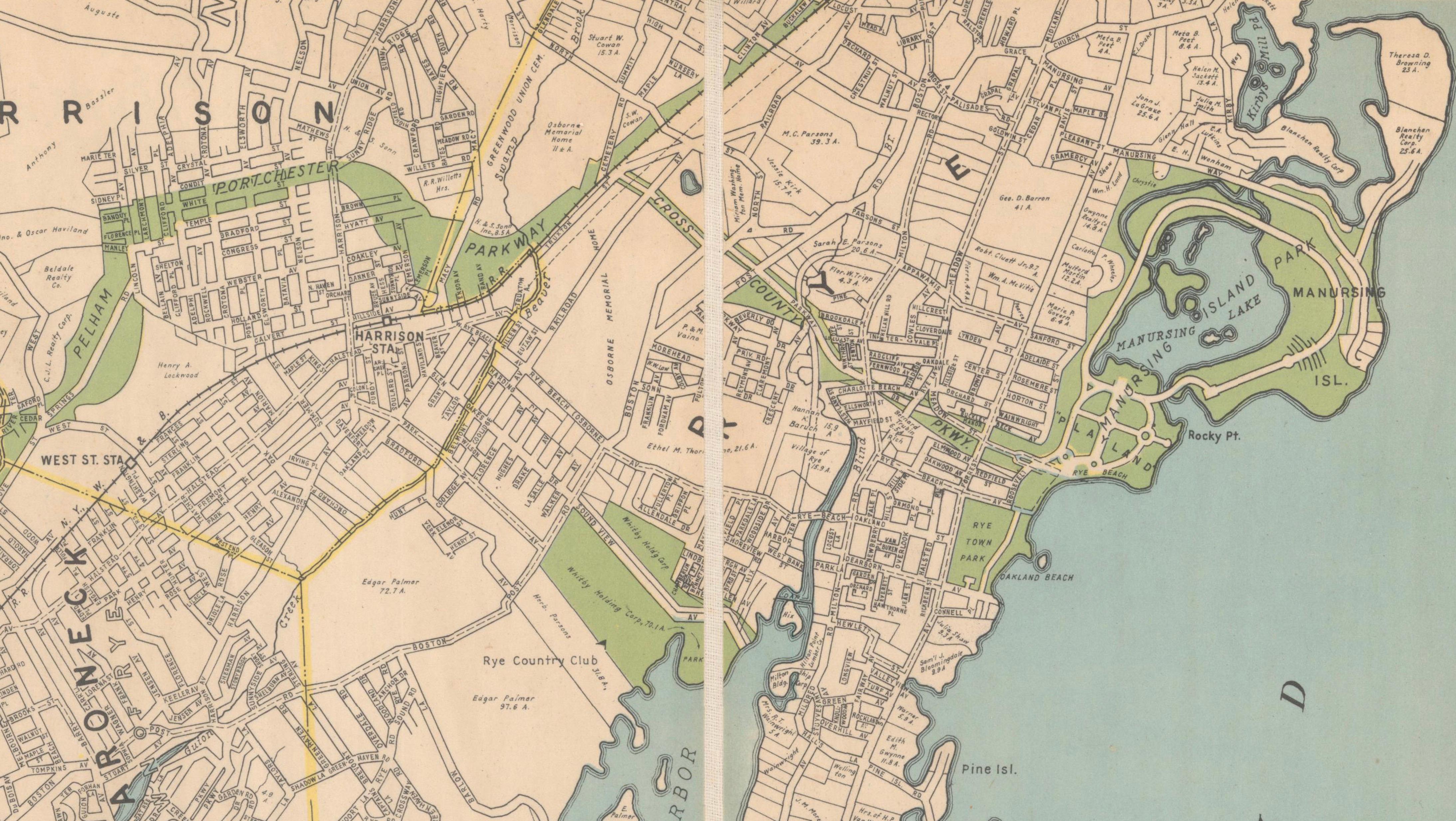
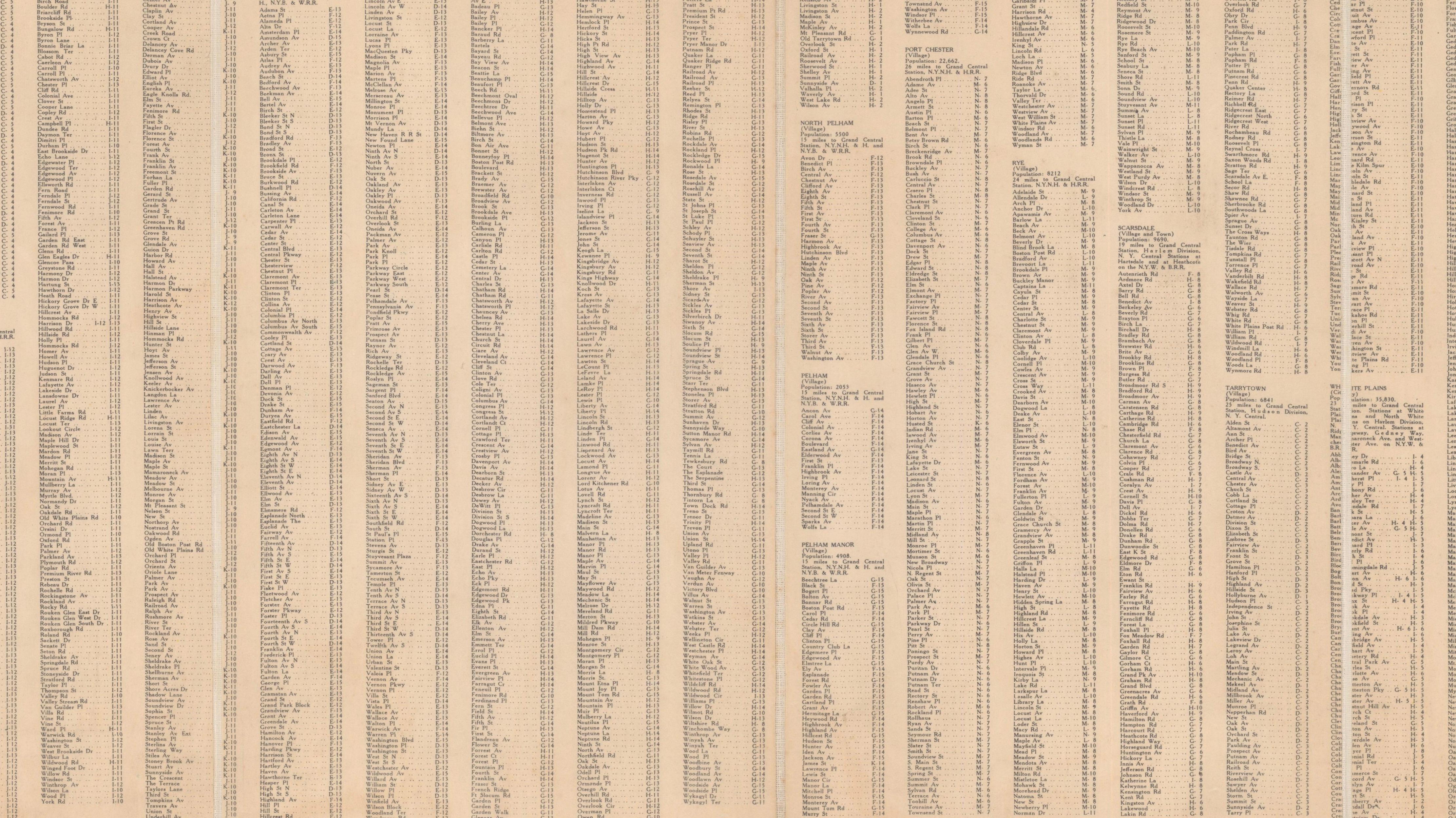
The map covers the county from Tarrytown at the top to the New York City line at the foot. The Hudson River runs down the left side, with a strip of Rockland County and New Jersey beyond it, while Fairfield County, Connecticut, appears at the upper right and Long Island Sound with its indented shoreline fills the lower right. Yonkers, Mount Vernon, New Rochelle, Rye, Scarsdale, White Plains, Harrison, Mamaroneck, Bronxville, Pelham and Eastchester are all shown, with part of the Bronx, including Van Cortlandt Park and Woodlawn Cemetery, along the southern edge. Parks and golf courses are tinted green, water is blue, and railroads, stations and ferries are marked. An extensive street and avenue index runs below the map.
The sheet records Westchester as a commuter suburb of New York City in the years before the postwar building boom.