About this sheet
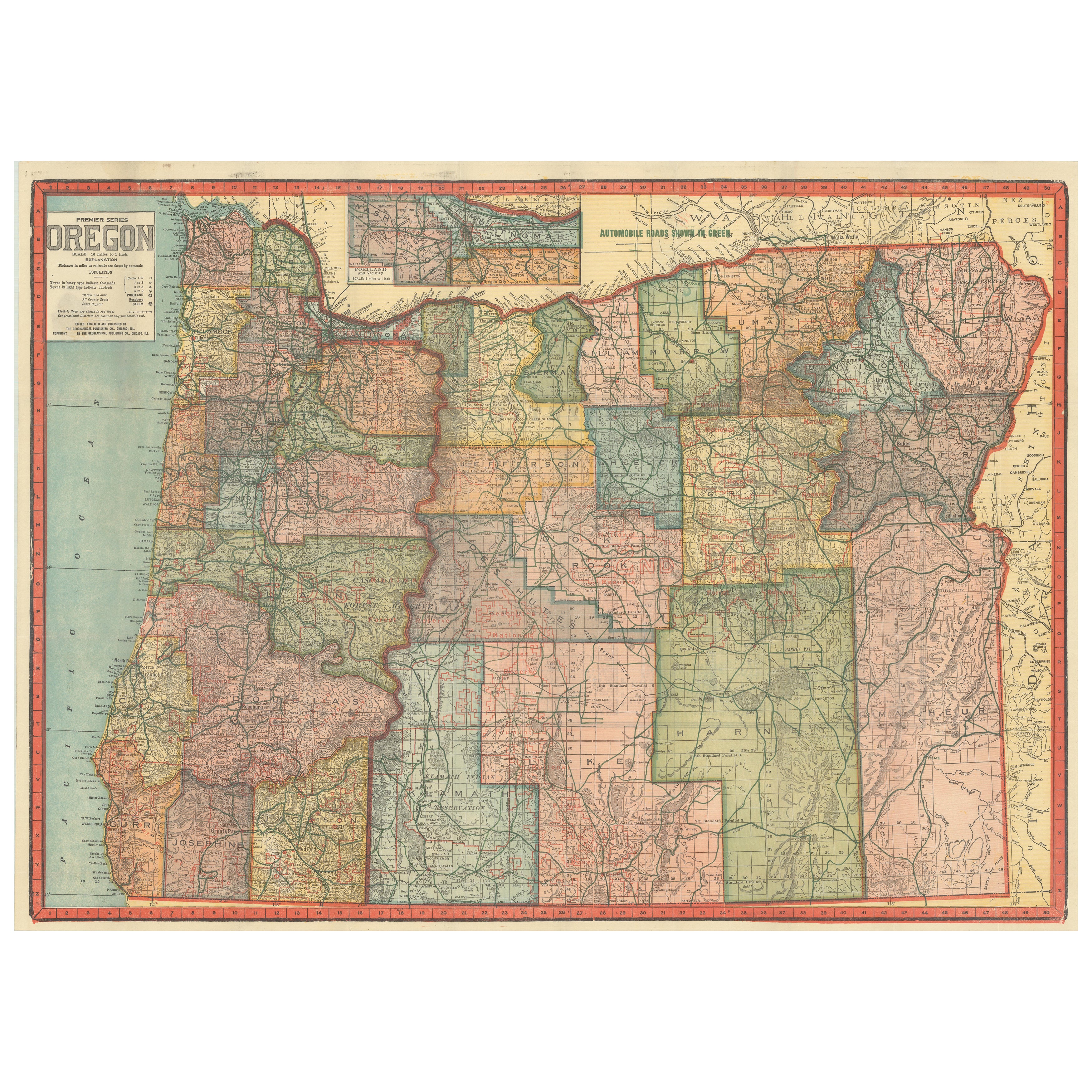
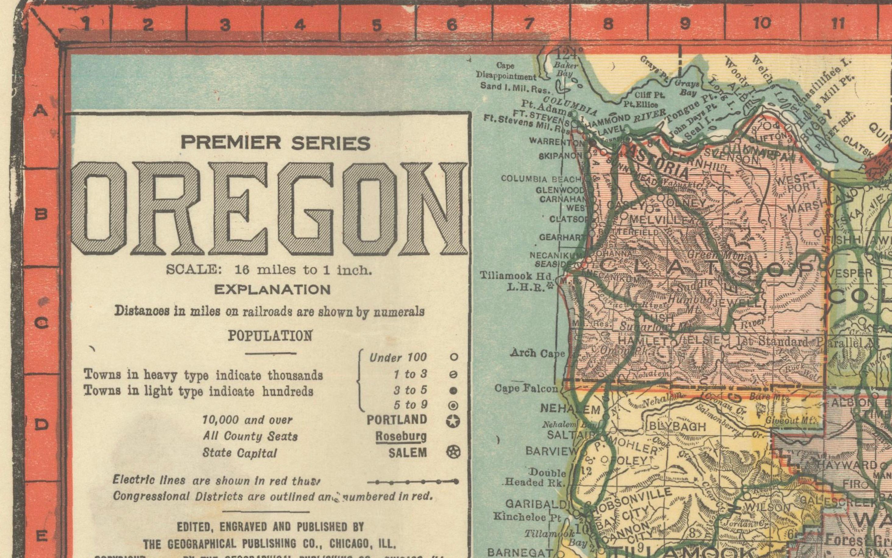
Colorful 1915 Road Map of Oregon with Portland Inset & Index – Geographical Pub.
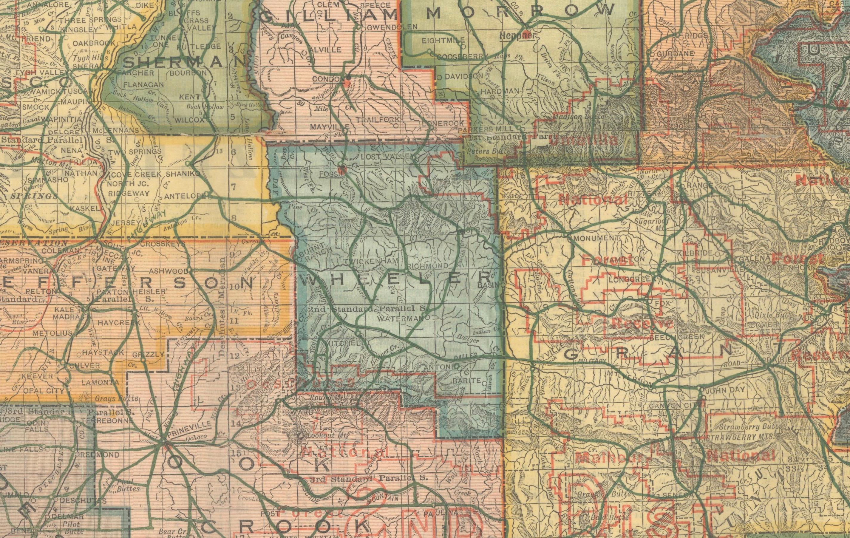
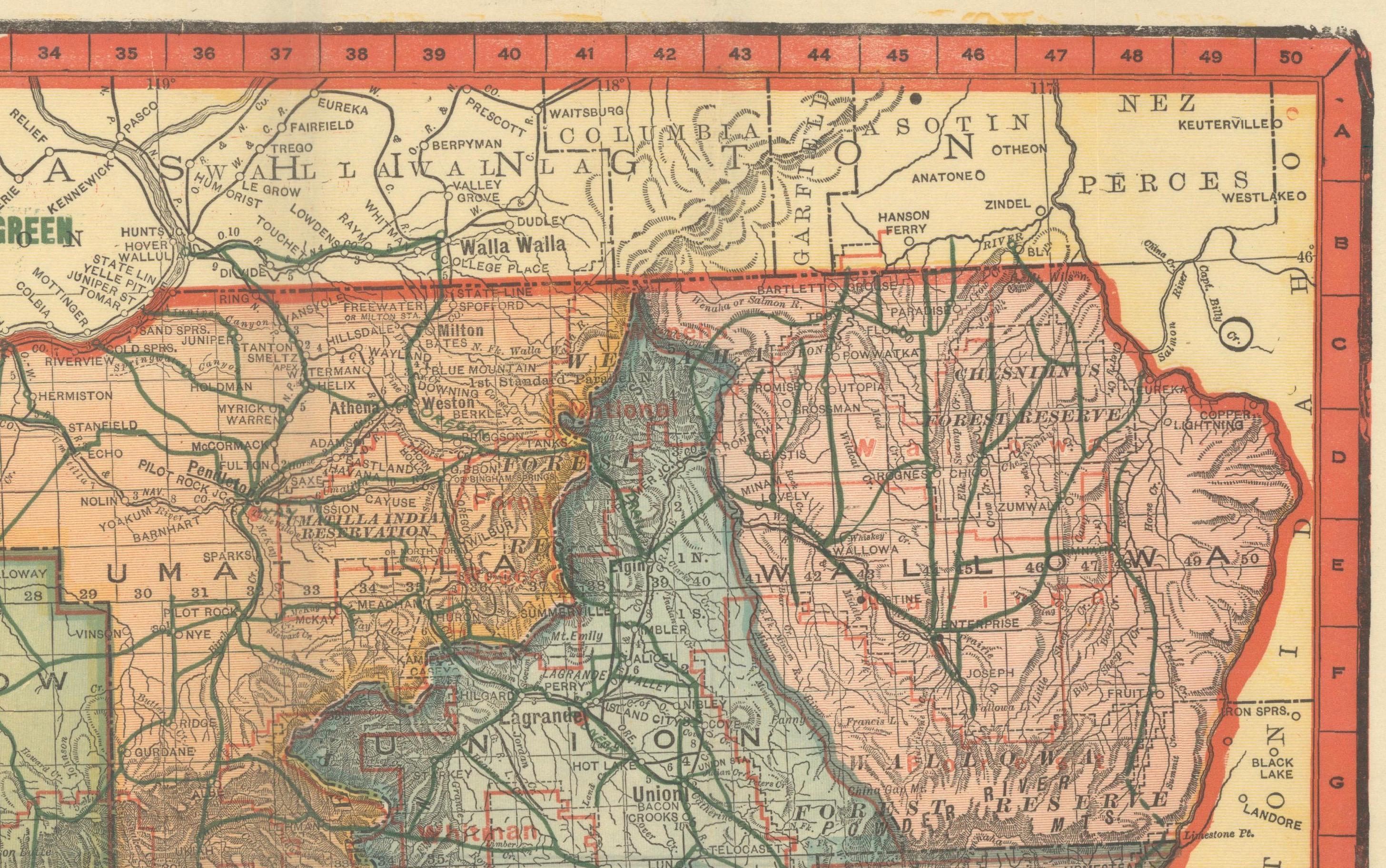
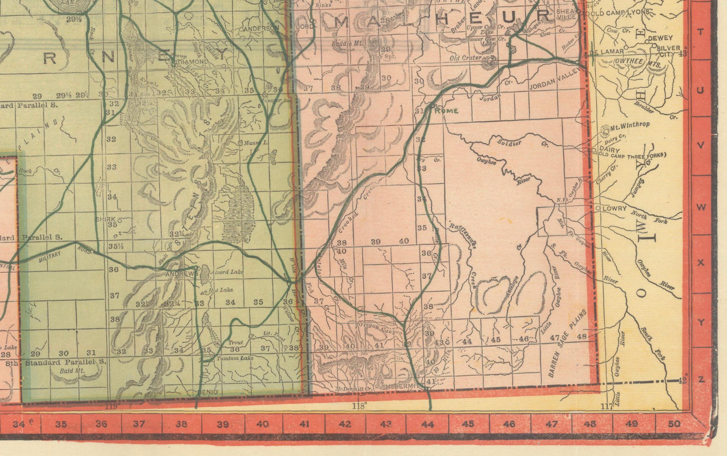
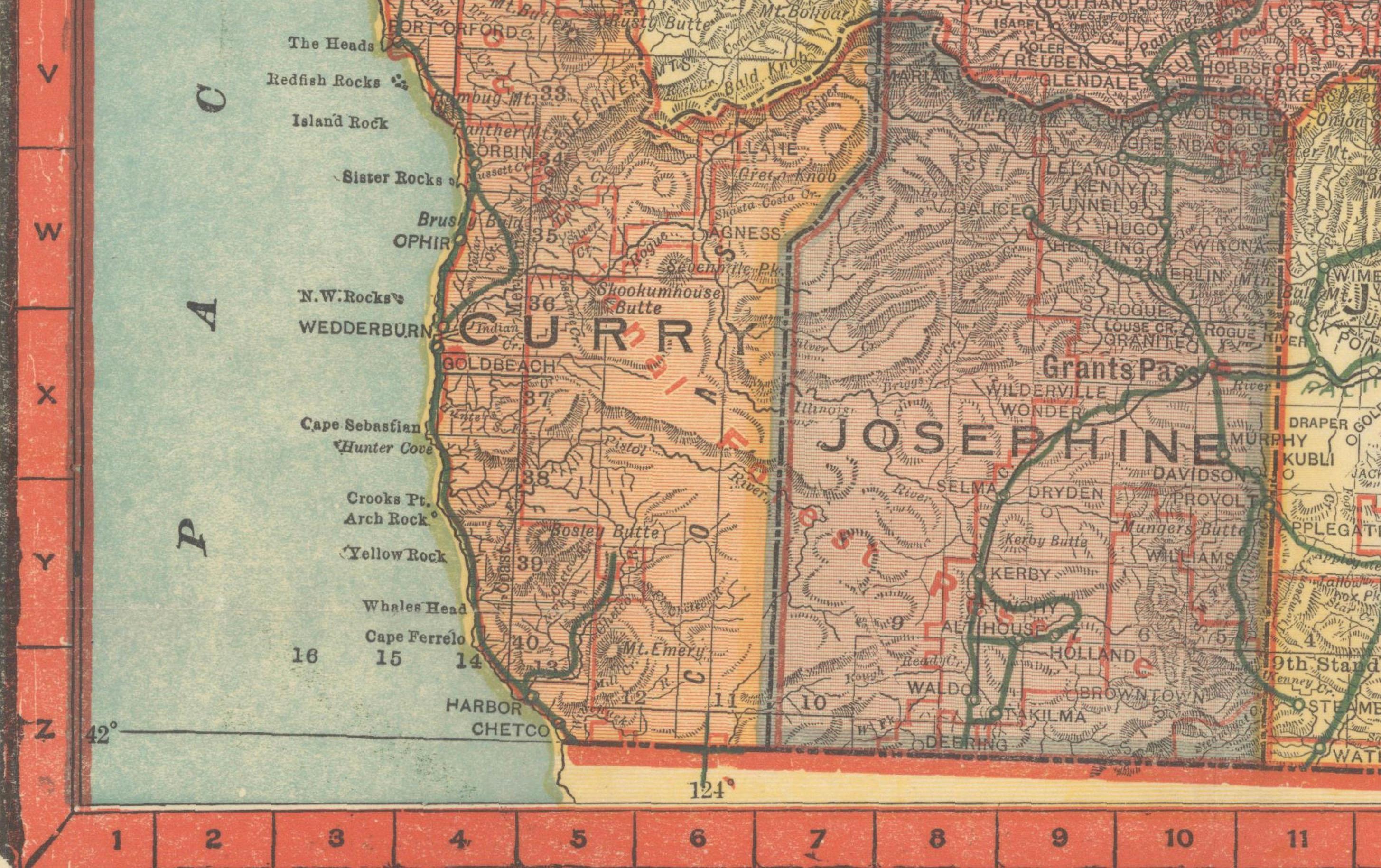
This vibrant and information-rich folding map of Oregon, titled "Premier Series Oregon", was published circa 1915 by the Geographical Publishing Co. It offers a fascinating early 20th-century view of the state’s political and transportation landscape, tailored for automobile travelers during the dawn of American motoring.
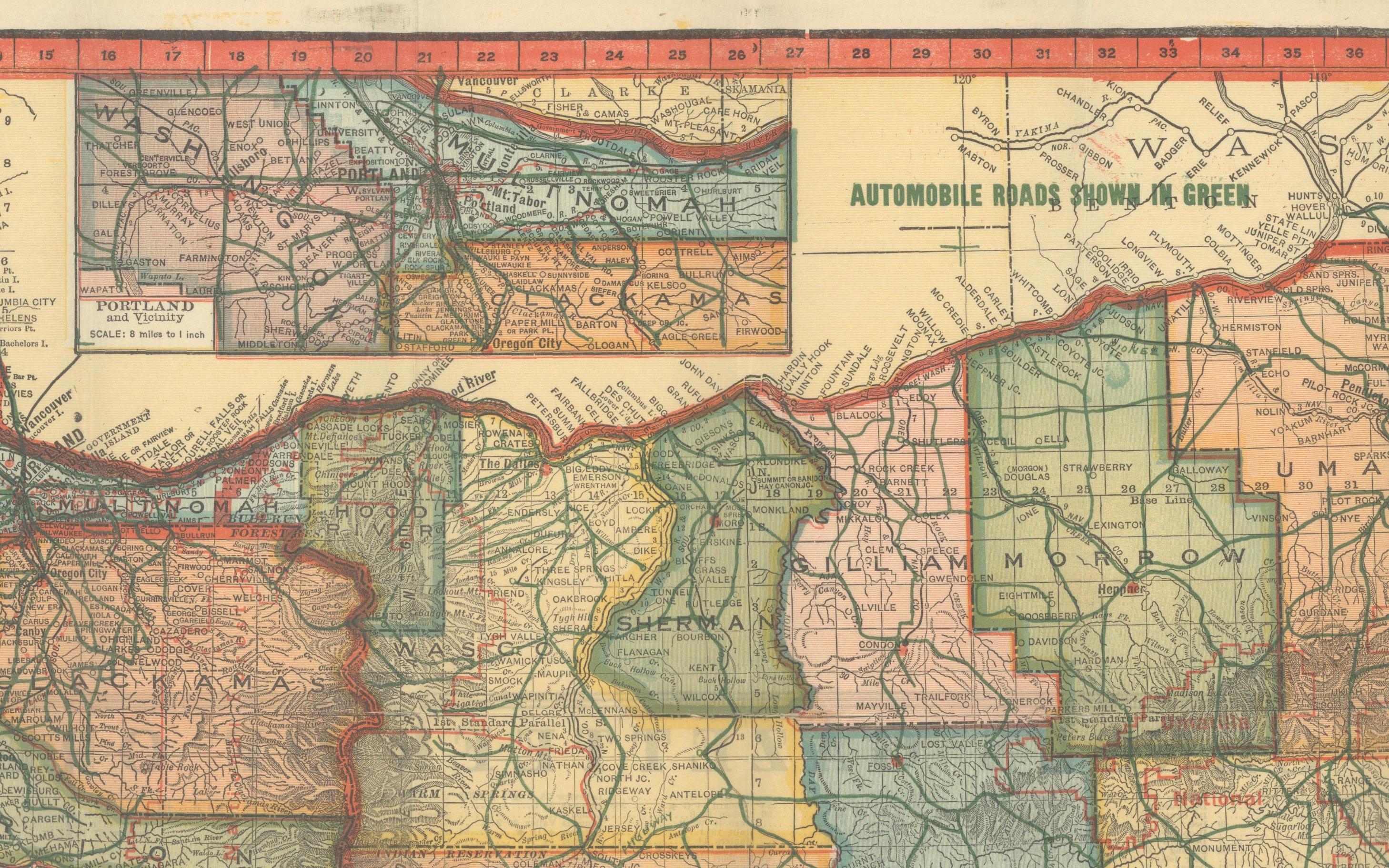
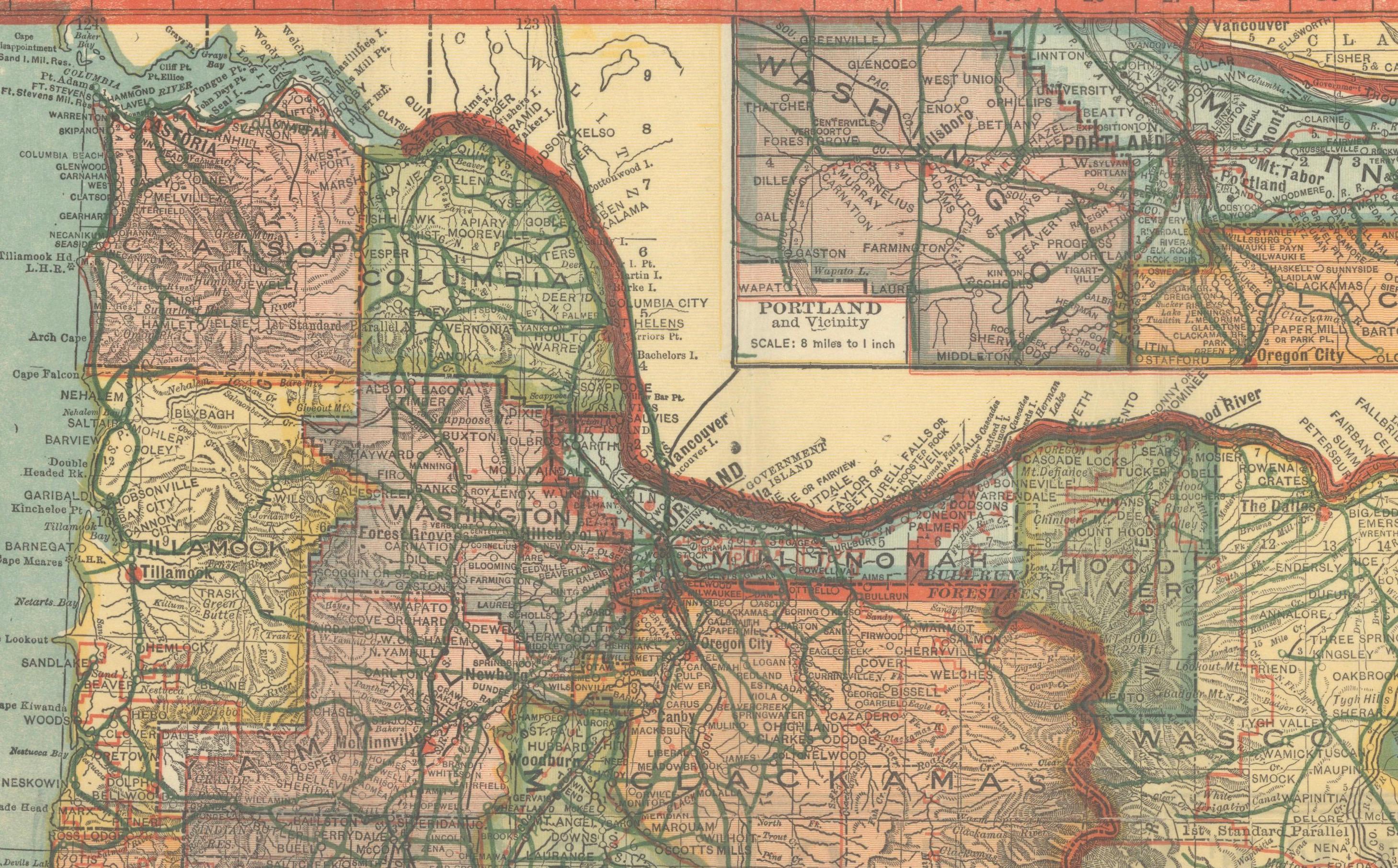
The map displays Oregon’s counties in bold and contrasting colors, reflecting their administrative boundaries, while the growing automobile road network is clearly highlighted in green overprinting. This map is especially notable for its focus on practical travel information: it marks principal automobile roads, streetcar lines (in dotted red), railroads, forest reserves, towns, cities, rivers, and mountain ranges. Congressional districts are outlined in red, adding a layer of political geography.
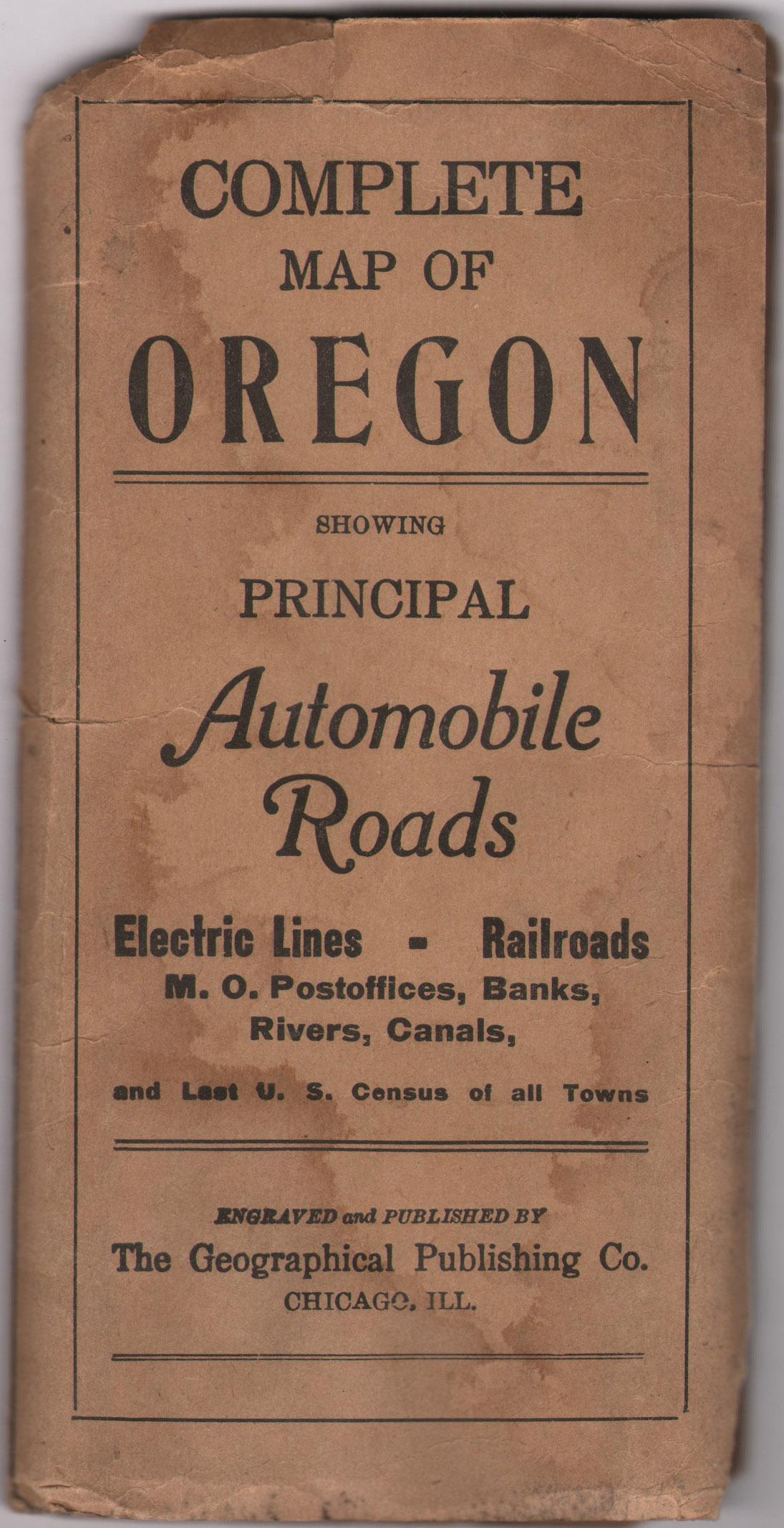
A prominent inset at the top of the sheet zooms in on the vicinity of Portland, then a rapidly growing industrial and transportation hub. The map was designed with portability in mind and was originally distributed folded within printed paper wrappers bearing the title *"Complete Map of Oregon Showing Principal Automobile Roads."*
On the verso, users would find a detailed population table by county, based on the 1910 U.S. Census—recording Oregon’s population at approximately 673,000. An accompanying alphabetical index provides quick reference for locating towns and features, making the map an invaluable tool for early drivers, business travelers, and road surveyors.
This map exemplifies the intersection of decorative cartography and functional design in the pre-interstate era, when maps guided Americans through a landscape of gravel roads and developing infrastructure.
Condition Report:
Printed color. Clean and bright with sharp impressions. The map has a few short fold separations and is detached from its original paper wrappers. The covers are present but show damp staining and chipping at the top. Map sheet itself remains in very good condition overall, suitable for framing or archival display.
Framing Tips:
A thin black or metal frame will provide a modern contrast to the vibrant color palette, while a red or burnt-orange inner mat can draw attention to the bold road network and border design. Float mounting may also be considered to showcase its folding-map origin.
Technique: Lithograph in printed color
Maker: Geographical Publishing Co., Chicago, circa 1915