Original Illustration Map of Alaska by Charles Burki, ca. 1945 – Ink Drawing
€ 940
Original antique · The actual sheet photographed · Certificate of authenticity on request · Sold unframed · Worldwide shipping from € 15 (rates)
Date
1945
Sheet size
33 × 31 cm (13.0 × 12.2 in)
Condition
Good
Reference
BG-Bea6
What the condition grades mean
Excellent
Bright and clean, with no faults worth mentioning.
Very good
Only light signs of age, such as faint toning.
Good
Normal signs of age for a sheet of this period: toning, some foxing, small marks or neat old repairs.
Fair
Clear faults such as staining, tears or repairs, priced to match.
Every fault we see is written in the condition note, and the whole sheet is shown uncropped in the photos.
Condition
Good original condition; clean black ink on cream paper. Light creases and small foxing spots visible in margins, consistent with age and original use. Strong impression with excellent tonal contrast.
About this sheet
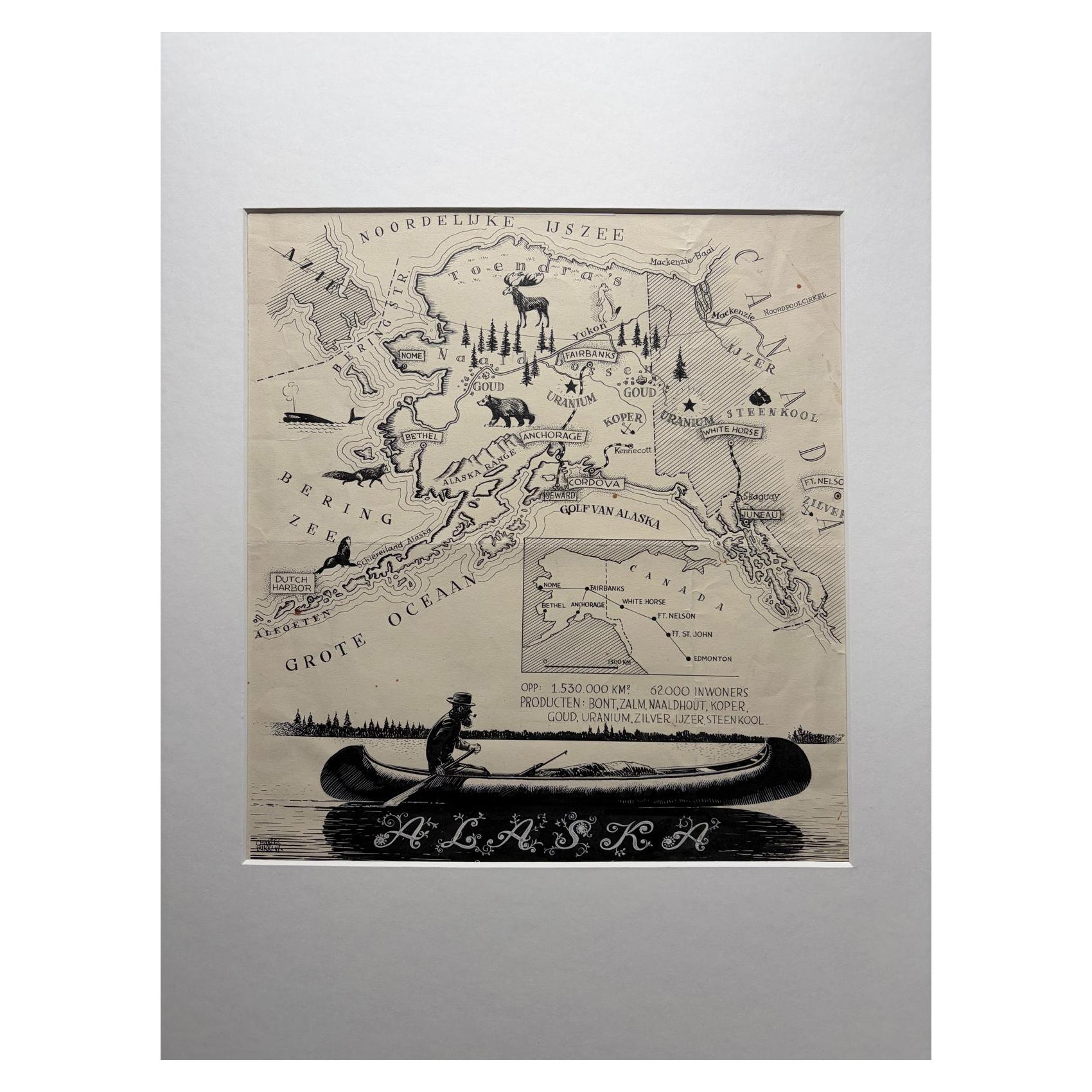
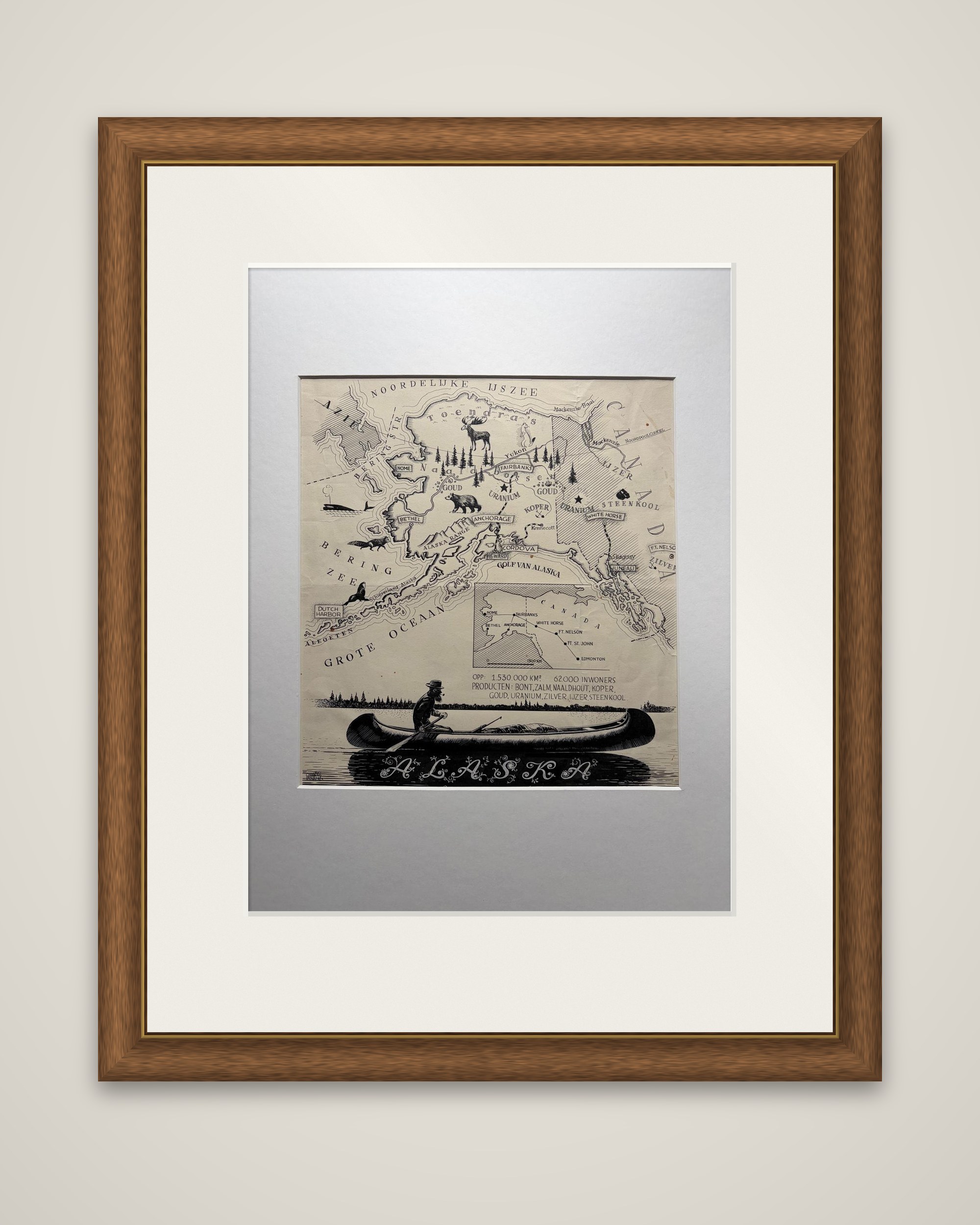
Alaska as an original pen-and-ink illustration map by the Dutch artist Charles Burki (1909-1994), drawn around 1945 in black ink on cream paper. It is a one-off drawing for reproduction, not a printed sheet, and the lettering throughout is in Dutch.
The territory fills the upper part of the sheet, with the Noordelijke IJszee (Arctic Ocean) across the top, the Bering Zee at left, the Grote Oceaan below and the Golf van Alaska to the south. Towns marked include Nome, Bethel, Fairbanks, Anchorage, Cordova and Juneau, and small pictorial symbols carry the economy and wildlife: a moose, a bear, a fox, a seal and a whale, conifers, and labels for gold, copper, uranium and coal. An inset map at lower center places Alaska against western Canada, with Whitehorse, Fort Nelson, Fort St. John and Edmonton. Beneath it, a text block gives the area as 1,530,000 square kilometers and the population as 62,000, with the products "Bont, Zalm, Naaldhout, Koper, Goud, Uranium, Zilver, IJzer, Steenkool". A man paddles a canoe across the foot of the sheet above the ornamental title "ALASKA".
Burki trained as an architect and worked as an illustrator in the Dutch East Indies and, after the war, in the Netherlands, where he drew maps and covers for Dutch publishers. In 1945 Alaska was still a U.S. territory, a dozen years before statehood.