Map of United States Central Sheet 1903 – Railroads, States, and Topography
€ 340
One of a kind: this is the sheet in the photographs. Ships from Langweer, the Netherlands.
Date
1903
Sheet size
47 × 36.8 cm (18.5 × 14.5 in)
Condition
Good
Reference
BG-13577-47
Condition
Condition is very good for its age, with only minimal signs of wear and slight toning around the edges, consistent with gentle handling over the decades. The colors remain vibrant, enhancing the visual appeal of this historical piece.
About this sheet
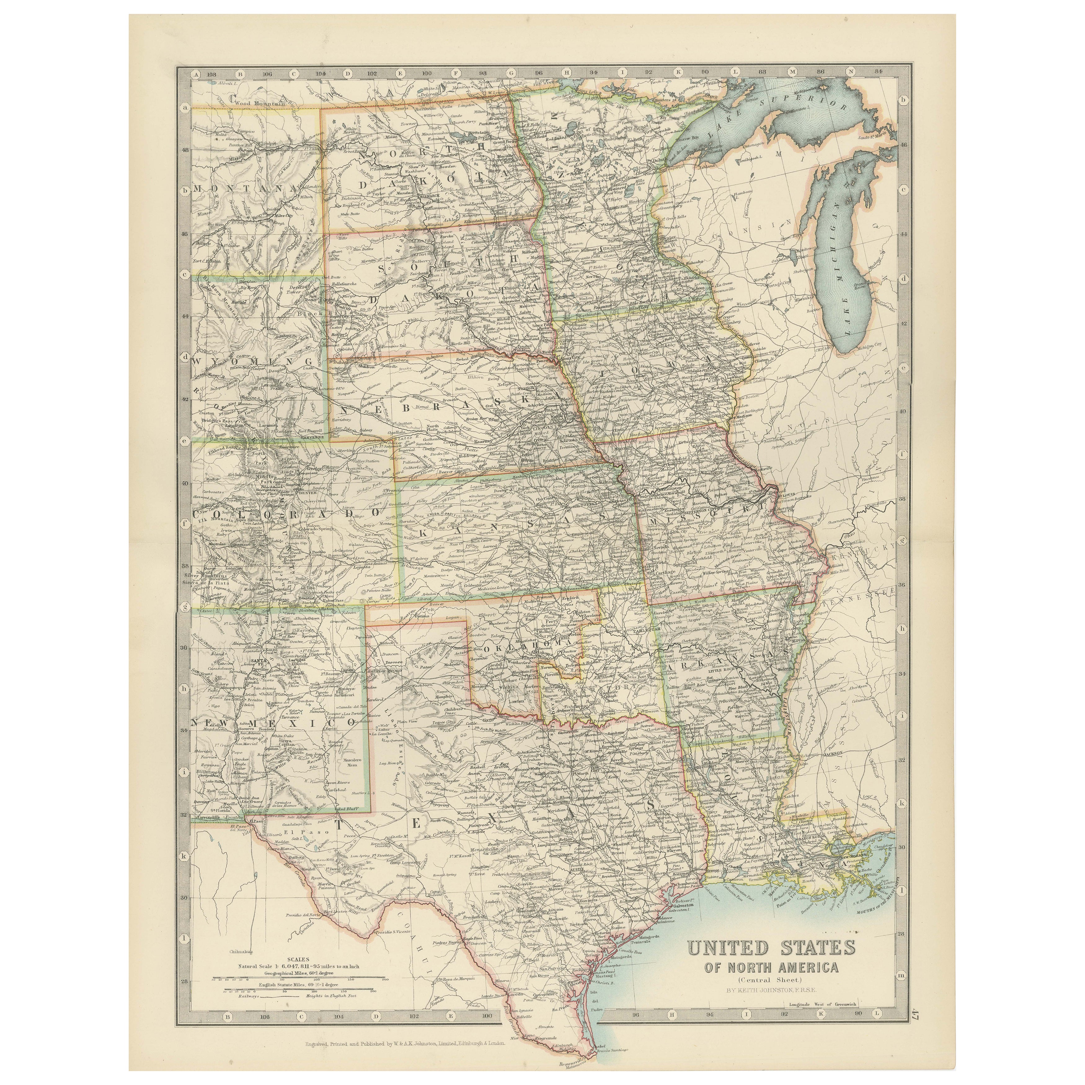
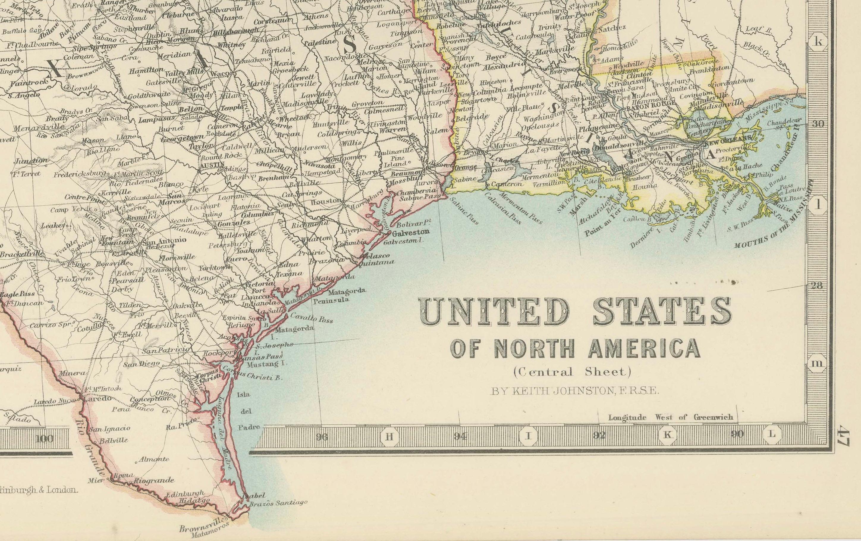
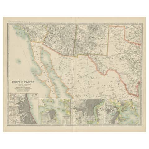
Map of United States Central Sheet 1903 – Railroads, States, and Topography
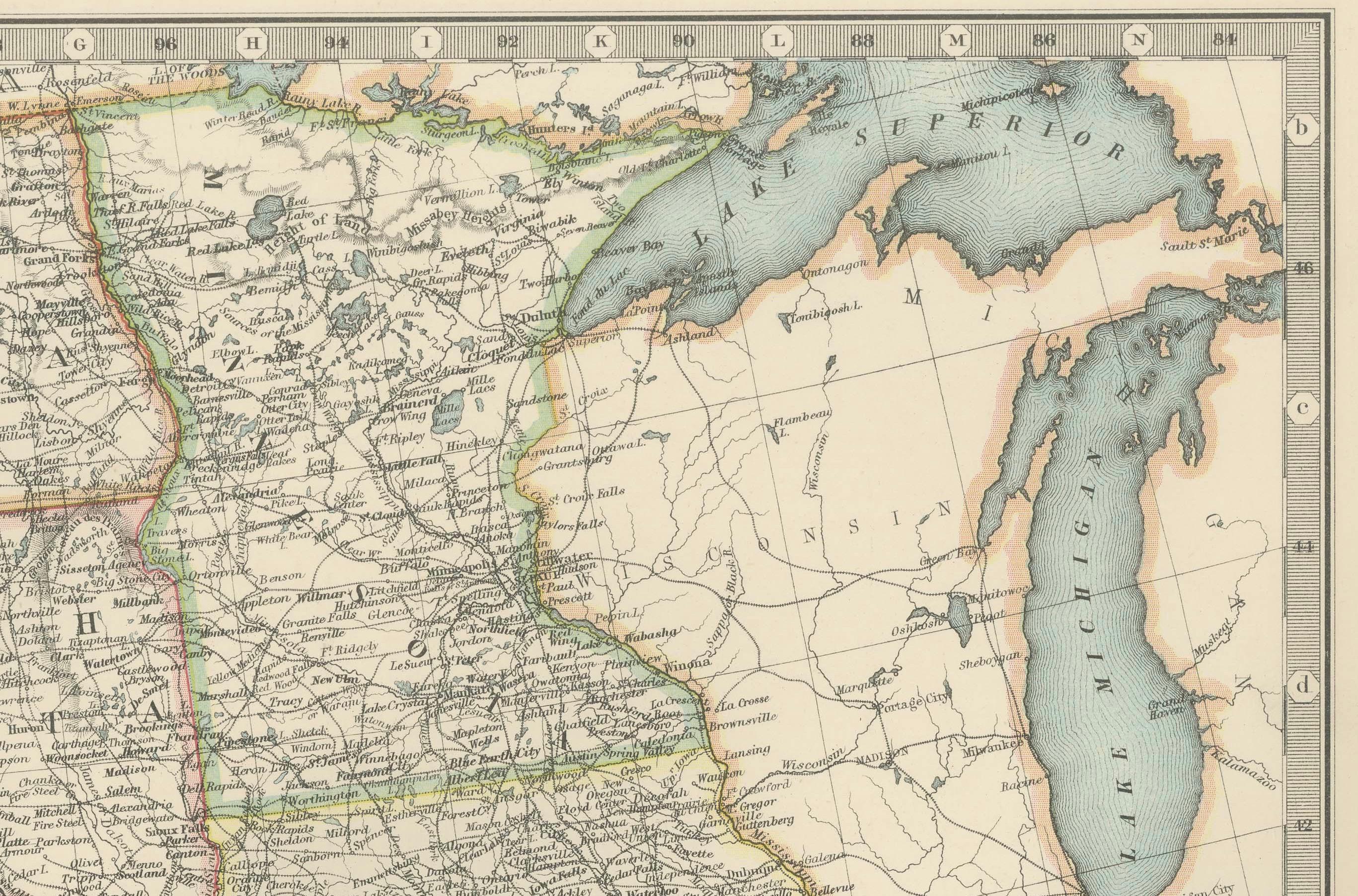
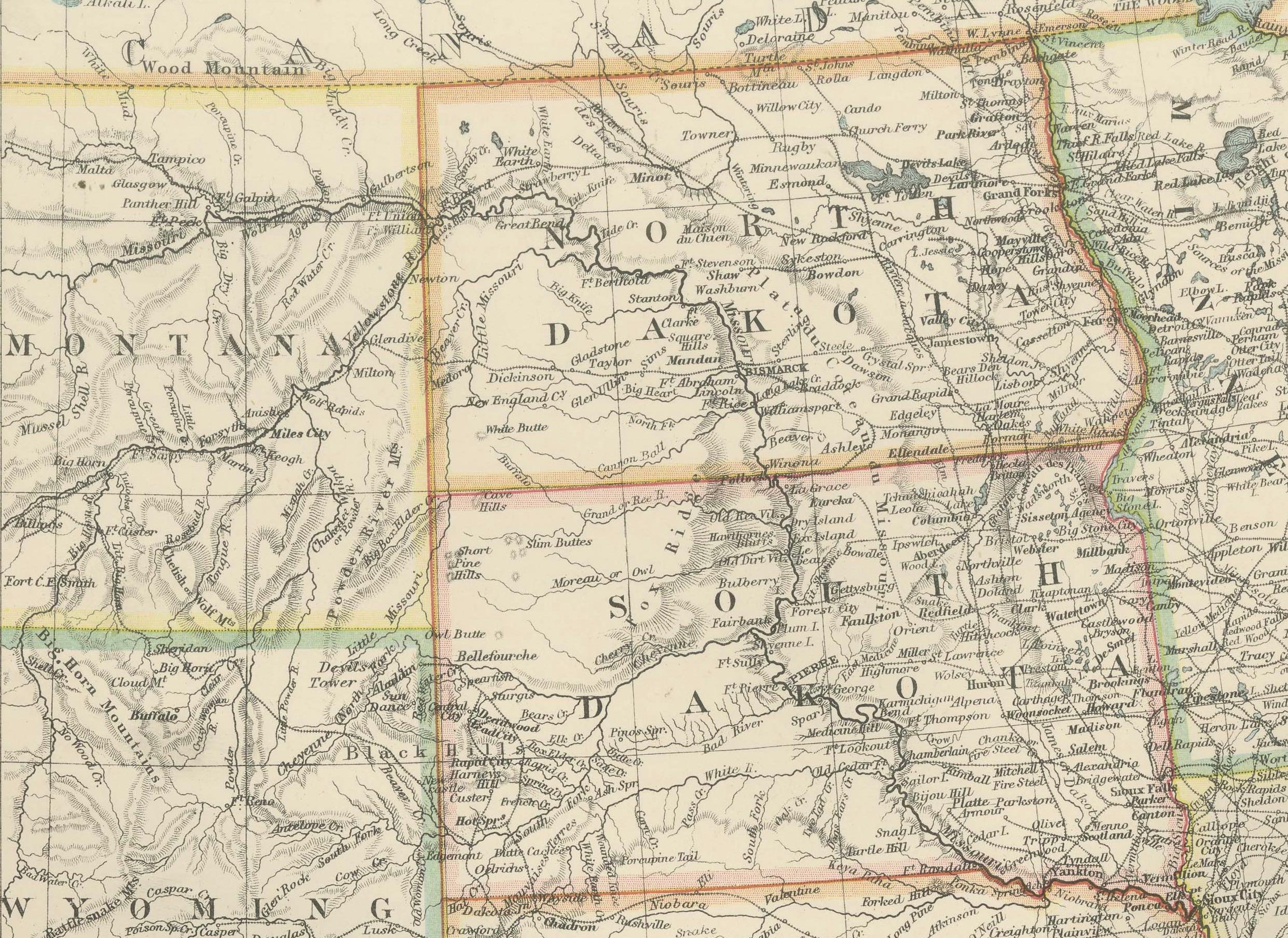
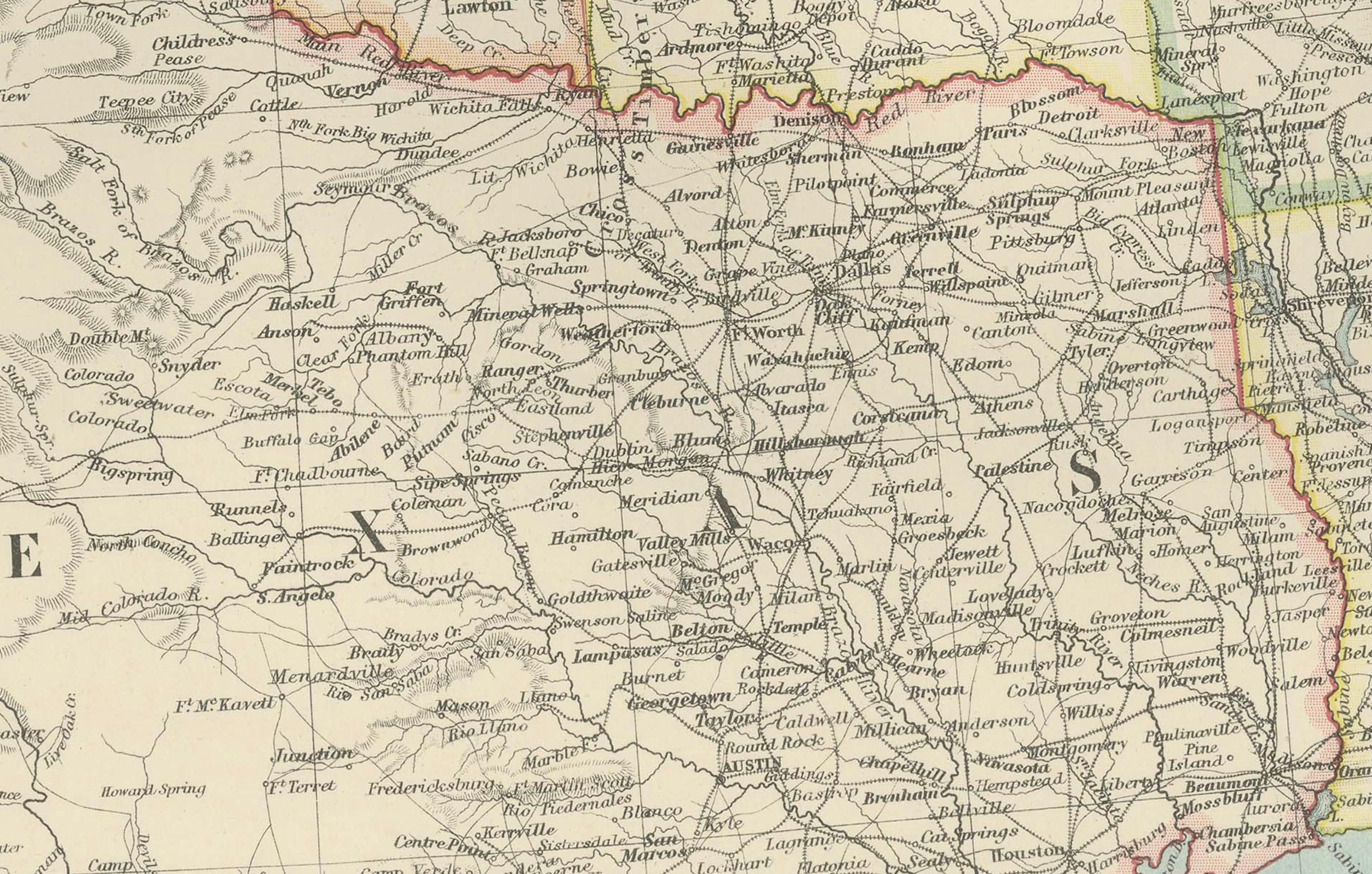
This is a finely engraved and beautifully colored map titled "United States of North America (Central Sheet)," created by Keith Johnston and printed by W. & A.K. Johnston, Ltd., in London and Edinburgh. This antique map, dating to the early 20th century, showcases the heartland of the United States in meticulous detail, spanning from the Gulf of Mexico up through the Great Lakes region.
The map covers the states of Texas, Oklahoma, Kansas, Nebraska, the Dakotas, Minnesota, Wisconsin, Iowa, Missouri, and Illinois, with surrounding areas of Colorado, Wyoming, Michigan, Arkansas, and Louisiana. Key features include railroad networks that highlight the rapid industrial expansion of the time, major rivers and mountain ranges, county boundaries, and settlements. The shading and contouring beautifully depict the topography, while delicate hand-coloring demarcates state boundaries with elegant clarity.
Inset with a detailed scale and a small table of mileages, the map is a testament to both the artistry and precision of historical cartography. The typography is crisp and classic, conveying both geographical and cultural importance for historians, map enthusiasts, and collectors.
Condition is very good for its age, with only minimal signs of wear and slight toning around the edges, consistent with gentle handling over the decades. The colors remain vibrant, enhancing the visual appeal of this historical piece.
For framing, consider a traditional dark wood frame to complement the antique style, or a simple black frame to modernize the look while preserving the map’s elegance. A neutral cream or off-white mat would highlight the engraved details and colors. This map would make a wonderful display for a home library, study, or any setting that celebrates American history.