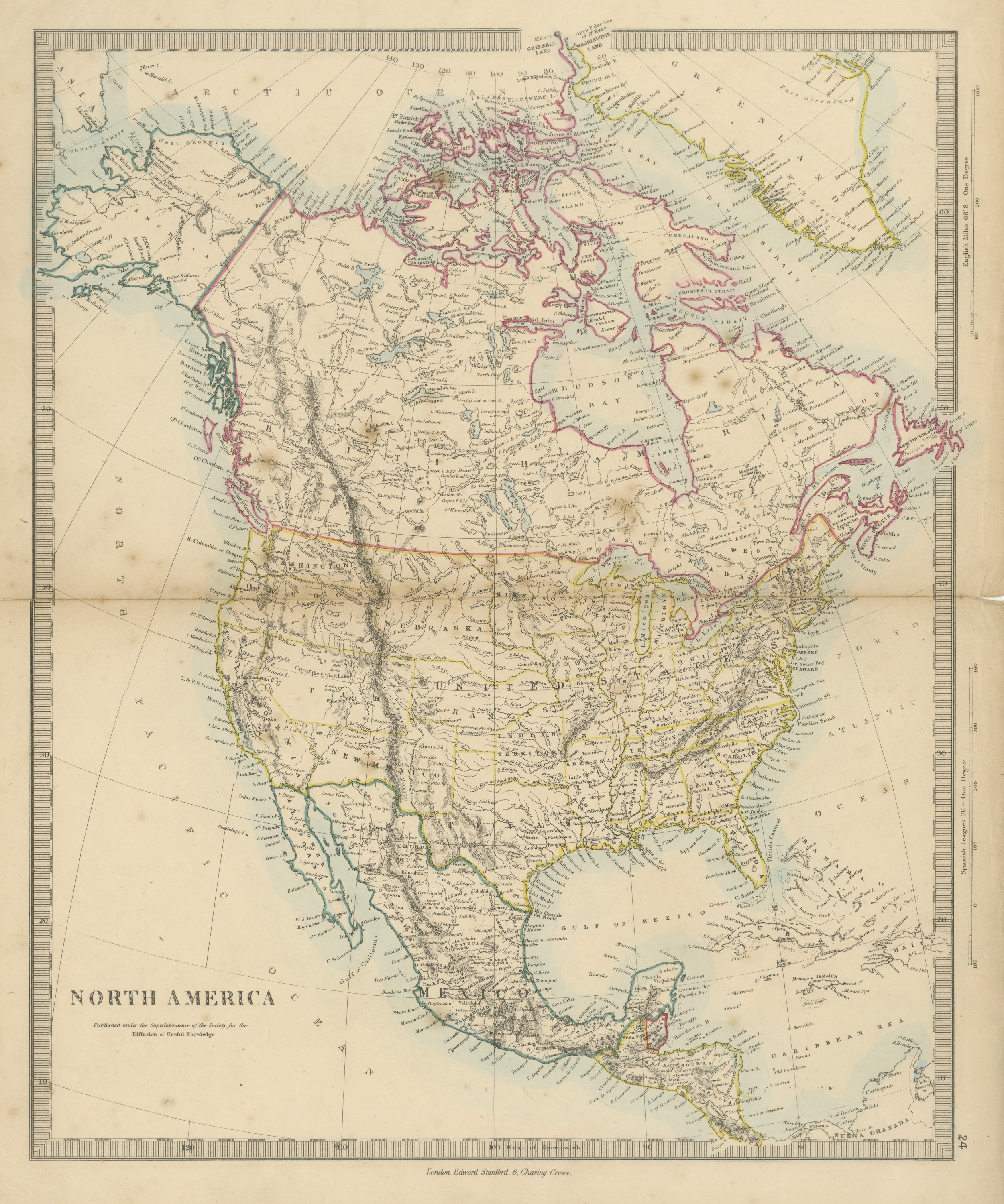
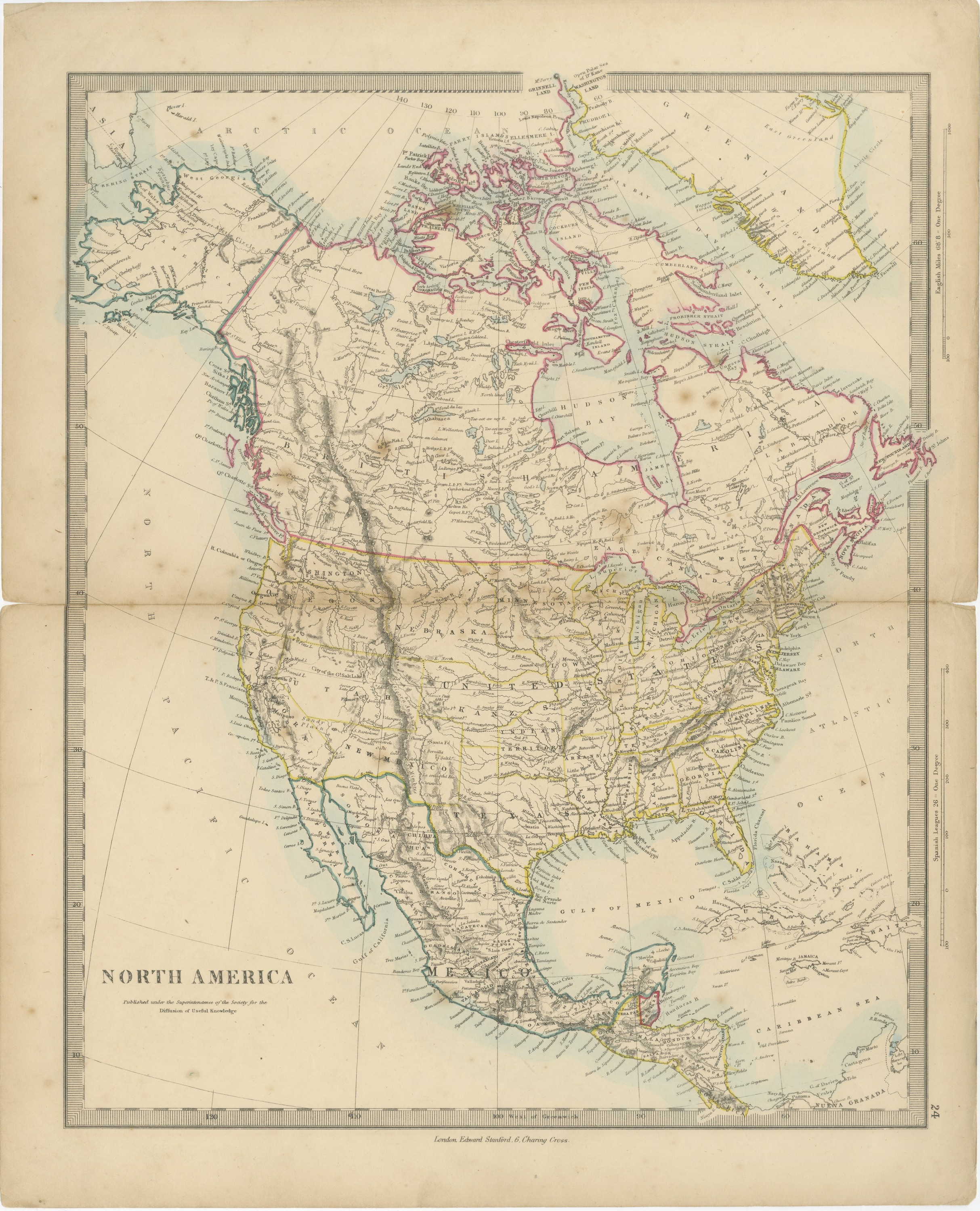
Antique Map of North America with Russian America and West Georgia, 1858
€ 220
Original antique · The actual sheet photographed · Certificate of authenticity on request · Sold unframed · Worldwide shipping from € 15 (rates)
Date
1858
Mapmaker / artist
Society for the Diffusion of Useful Knowledge
Publisher
Edward Stanford, London
Technique
Steel engraving
Coloring
Hand colored
Condition
Good
Reference
BG-14227-1-24
What the condition grades mean
Excellent
Bright and clean, with no faults worth mentioning.
Very good
Only light signs of age, such as faint toning.
Good
Normal signs of age for a sheet of this period: toning, some foxing, small marks or neat old repairs.
Fair
Clear faults such as staining, tears or repairs, priced to match.
Every fault we see is written in the condition note, and the whole sheet is shown uncropped in the photos.
Condition
Complete sheet with a small irregularity of a few millimeters to the left edge. Light, uneven toning, slightly darker towards the edges. Scattered light foxing in the margin. A few small light flecks in the printed area. A center fold, as issued.
About this sheet
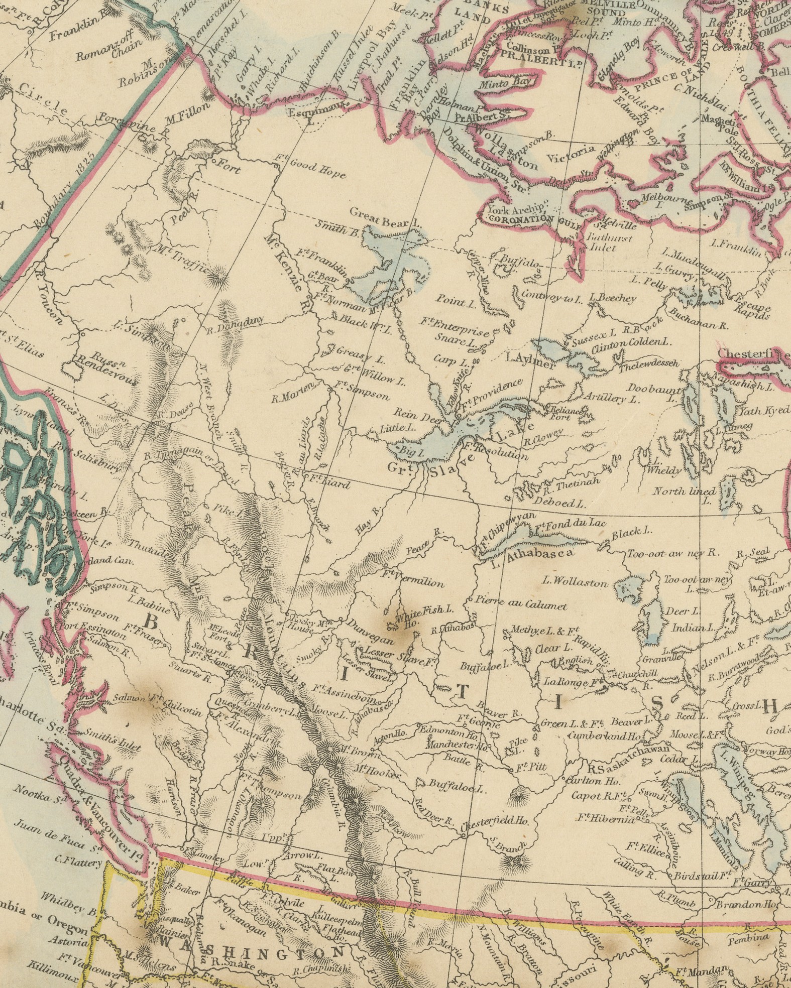
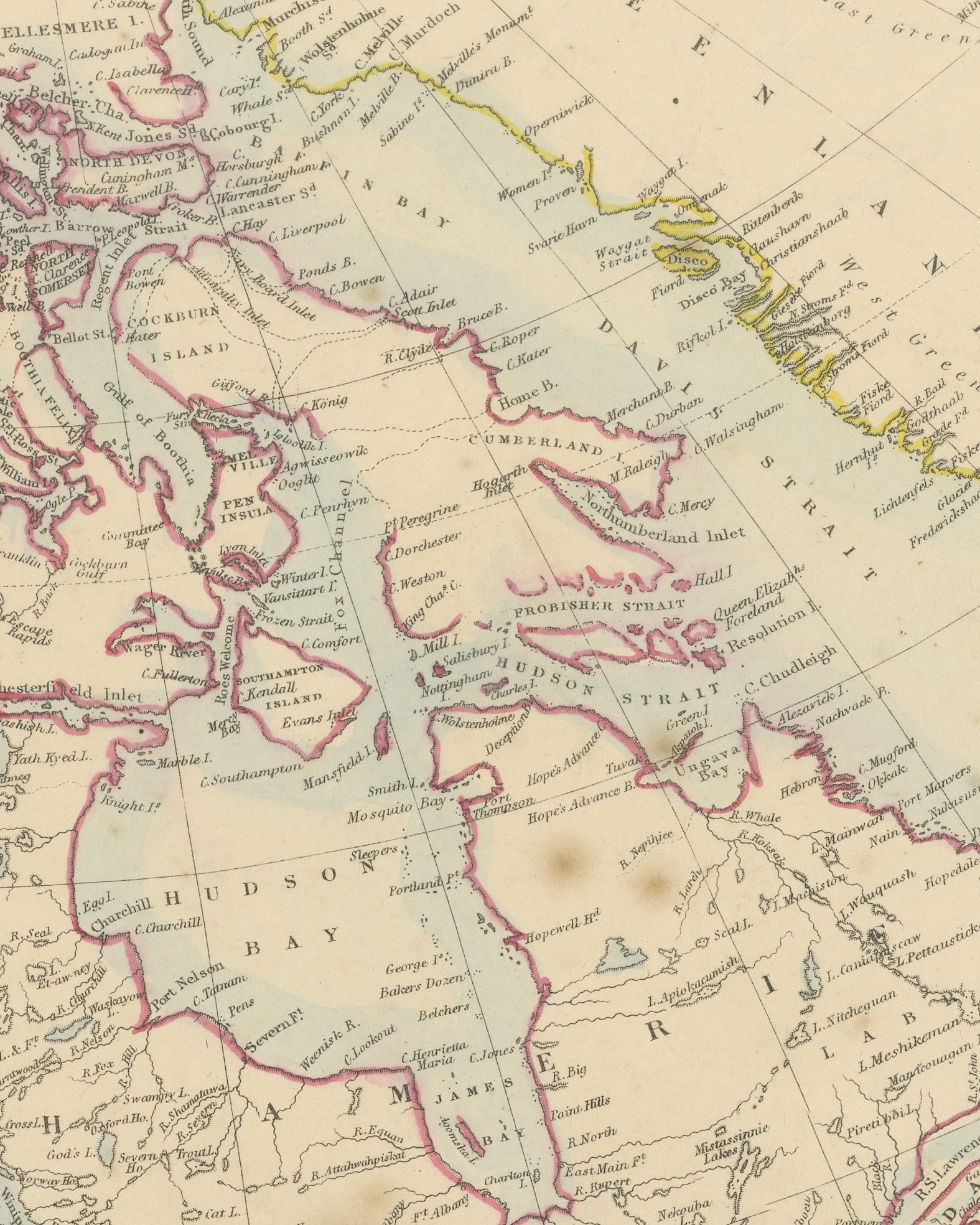
Original antique map of the North American continent, a steel engraving colored by hand, with the lettered title "NORTH AMERICA". The map runs from the Arctic Ocean, Greenland and the tip of Asia at Bering Strait south to Central America, the Caribbean Sea and the coast of Nueva Granada. Russian America occupies the northwest, with "West Georgia" lettered along its Arctic coast and the "Boundary 1825" marked against British America. Hudson Bay, Canada, the United States with its states and territories, Mexico, Cuba and the other Greater Antilles are all shown. The color is in outline: green for Russian America and Mexico, pink for British territory and yellow for the United States, with a pale blue wash along the coasts.
The title is followed by "Published under the Superintendence of the Society for the Diffusion of Useful Knowledge". Two scales are printed in the right margin, "English Miles 68.8 = One Degree" and "Spanish Leagues 26 = One Degree", and the lower border carries "West of Greenwich" with the meridians. Below the border is the imprint "London. Edward Stanford. 6, Charing Cross.", and the plate number "24" stands in the right margin.
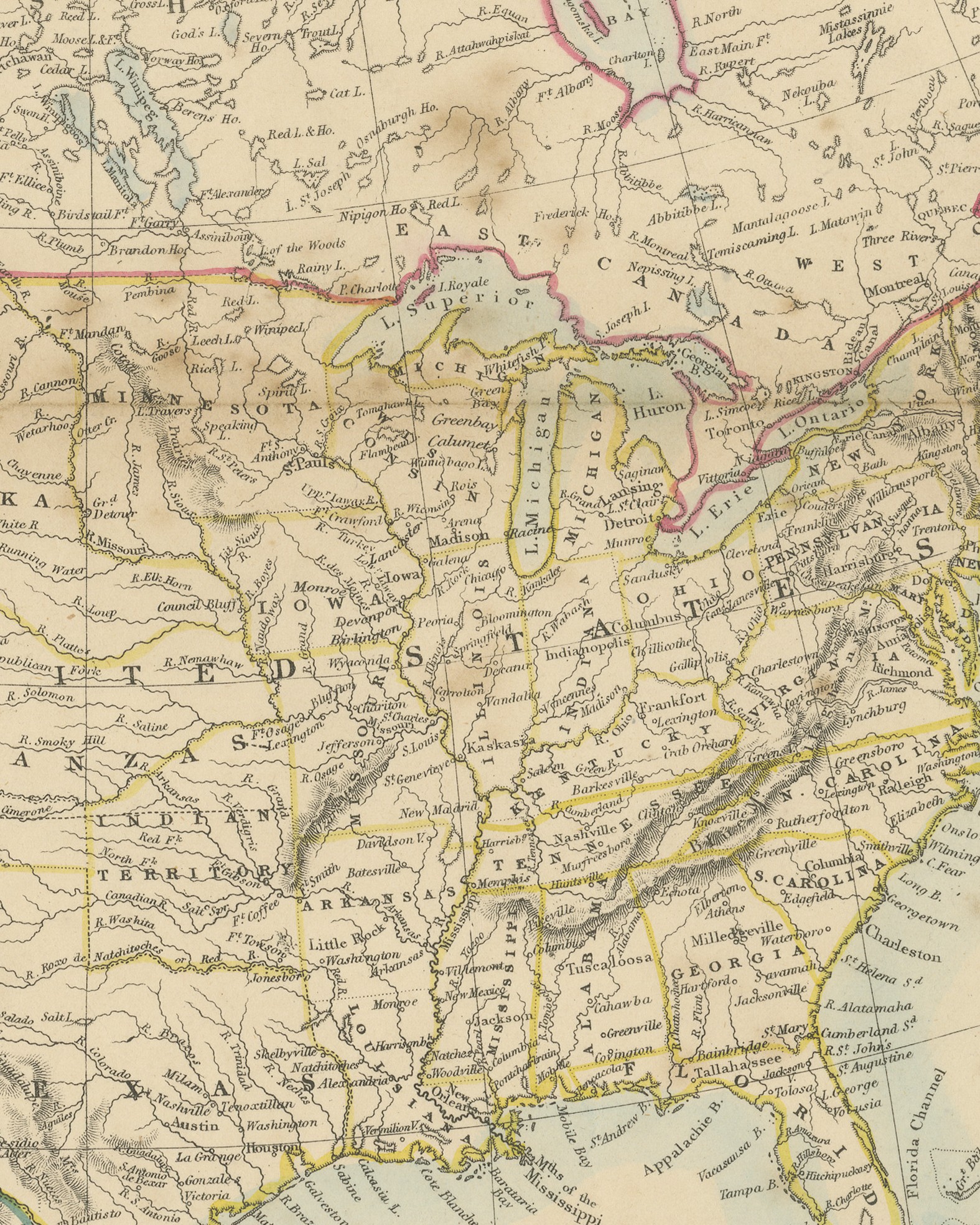
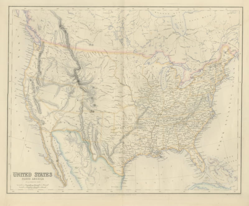
The Harrow Atlas of Modern Geography was published in London by Edward Stanford in 1858 and sold at Harrow by Crossley and Clarke, booksellers to Harrow School. Its maps were selected from those of the Society for the Diffusion of Useful Knowledge, founded in London in 1826, which issued its maps in parts from 1829 and was wound up in 1848; Stanford later issued them under his own imprint, as this sheet shows. In the United States the sheet names Washington, Oregon, Utah, New Mexico, Nebraska and Kanzas in the West, with "Indian Territory" lettered south of Kanzas, and it shows the northwest of the continent as Russian America.
A clear continental map that suits a library, an office or a collection of American maps.
Condition: Complete sheet with a small irregularity of a few millimeters to the left edge. Light, uneven toning, slightly darker towards the edges. Scattered light foxing in the margin. A few small light flecks in the printed area. A center fold, as issued.
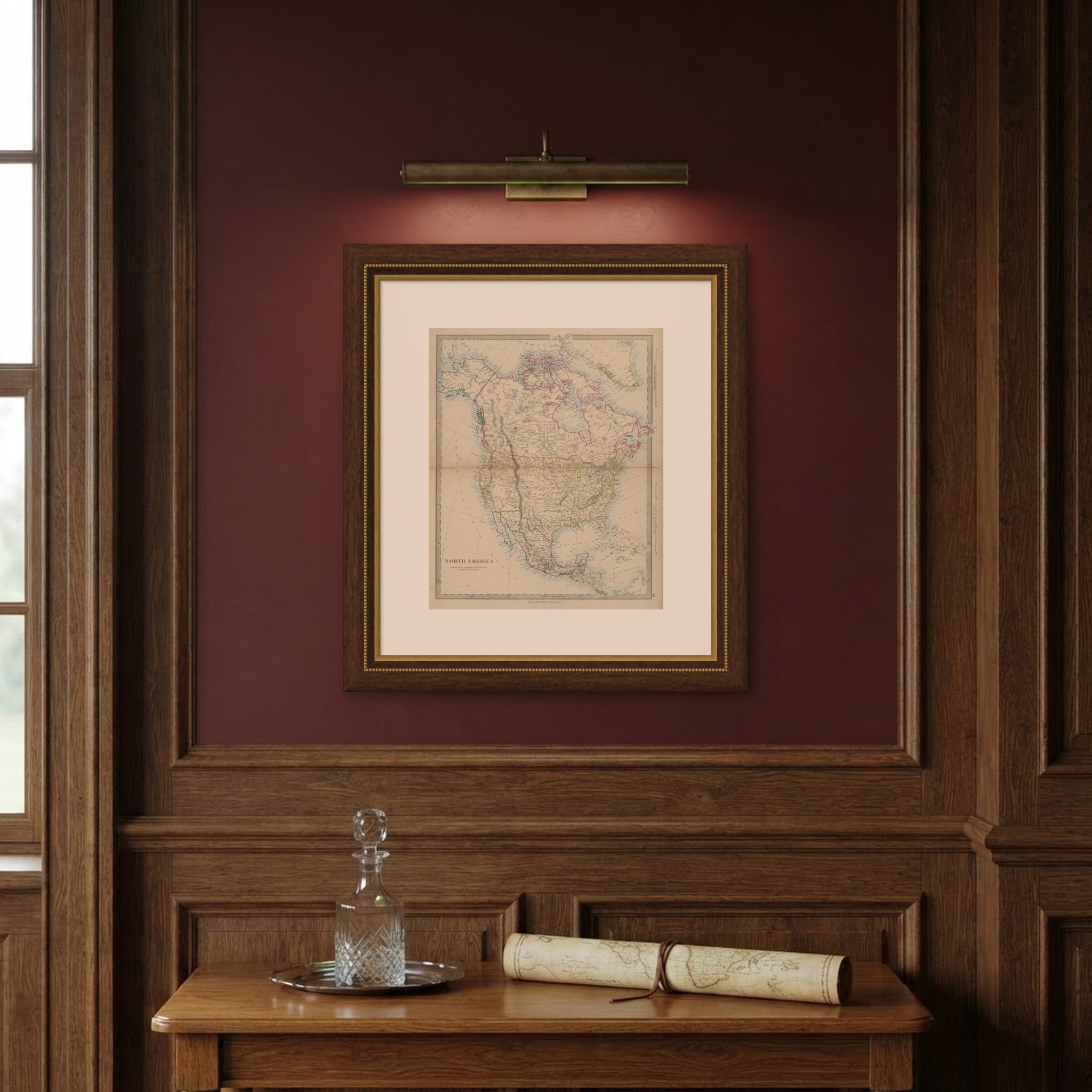
This is an original antique map, not a modern reproduction. This item is sold unframed. Any framed or interior images are shown for presentation and inspiration only, unless the listing explicitly states that the item is sold framed.