Original antique · The actual sheet photographed · Certificate of authenticity on request · Sold unframed · Worldwide shipping from € 15 (rates)
Date
1860
Sheet size
32.5 × 26 cm (12.8 × 10.2 in)
Condition
Fair
Reference
BG-13009-95
What the condition grades mean
Excellent
Bright and clean, with no faults worth mentioning.
Very good
Only light signs of age, such as faint toning.
Good
Normal signs of age for a sheet of this period: toning, some foxing, small marks or neat old repairs.
Fair
Clear faults such as staining, tears or repairs, priced to match.
Every fault we see is written in the condition note, and the whole sheet is shown uncropped in the photos.
Condition
Strong toning. Original folding line, with repaired split. Shows some wear and soiling, blank verso. Please review the images for further condition details.
About this sheet
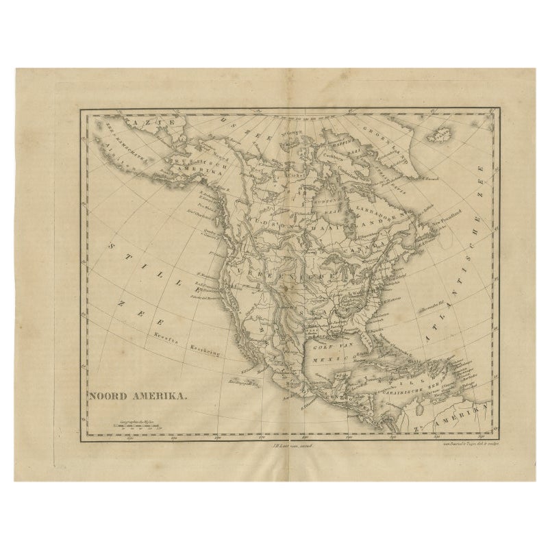
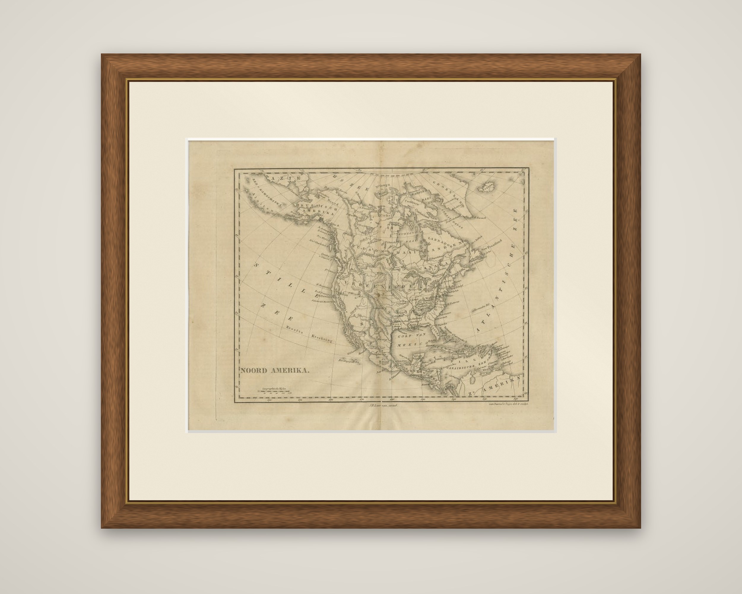
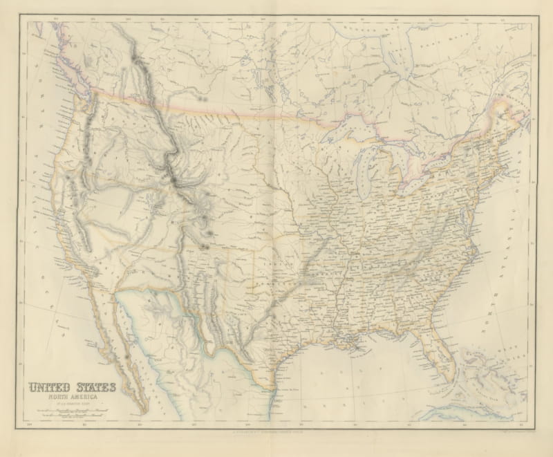
North America in a small Dutch atlas map titled "Noord Amerika", published by J.H. Laarman around 1860. It is an uncolored engraving, with a ruled border and a decorative scale bar of "Geographische Mijlen" at the lower left.
The map is drawn on a curved projection and shows the continent from Russian America at the upper left, labeled "Russisch Amerika", across Hudson's Bay and Greenland to Newfoundland, and south through the United States and Mexico to the Gulf of Mexico and Central America. The Pacific is lettered "Stille Zee" and the Atlantic "Atlantische Zee". Rivers, lakes and mountain ranges are drawn in fine engraved hatching, and the lettering gives the divisions and principal places in Dutch. The credit line "J.H. Laarman exc." appears at the foot of the sheet beside the engraver's imprint.
The sheet shows the continent as a Dutch schoolroom would have known it around 1860, with the United States still spread across the whole width of the central map and Alaska still under Russian control.