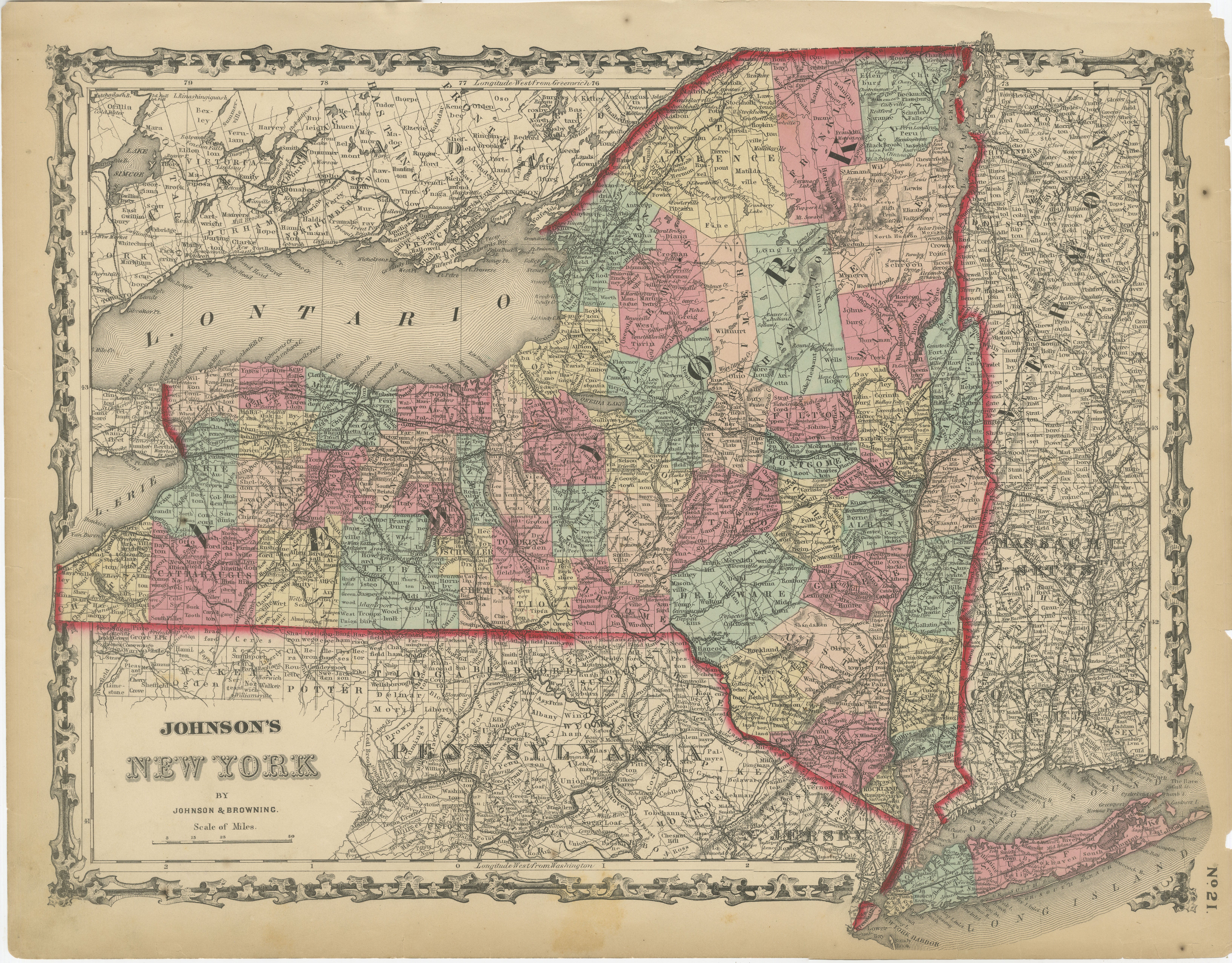
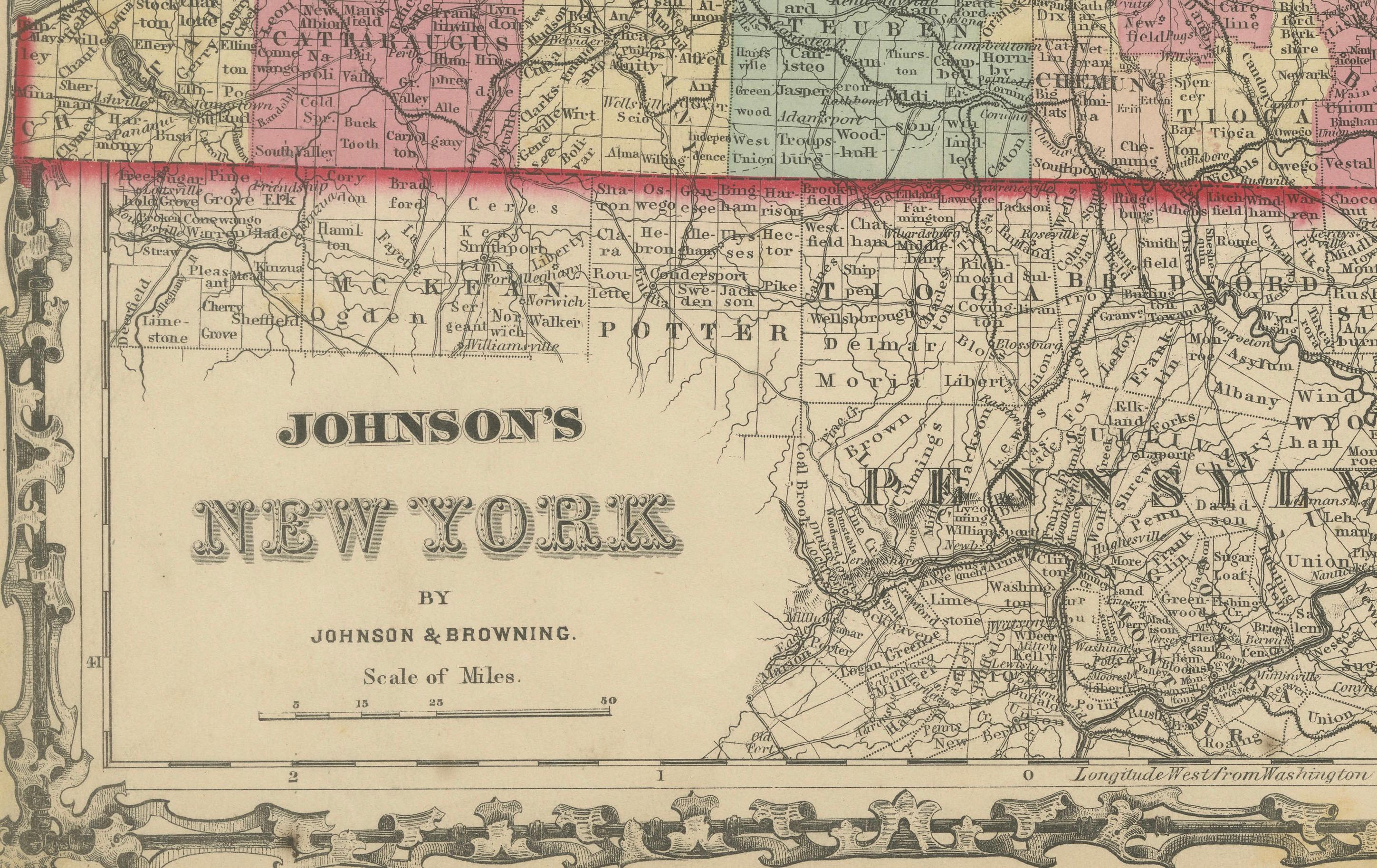
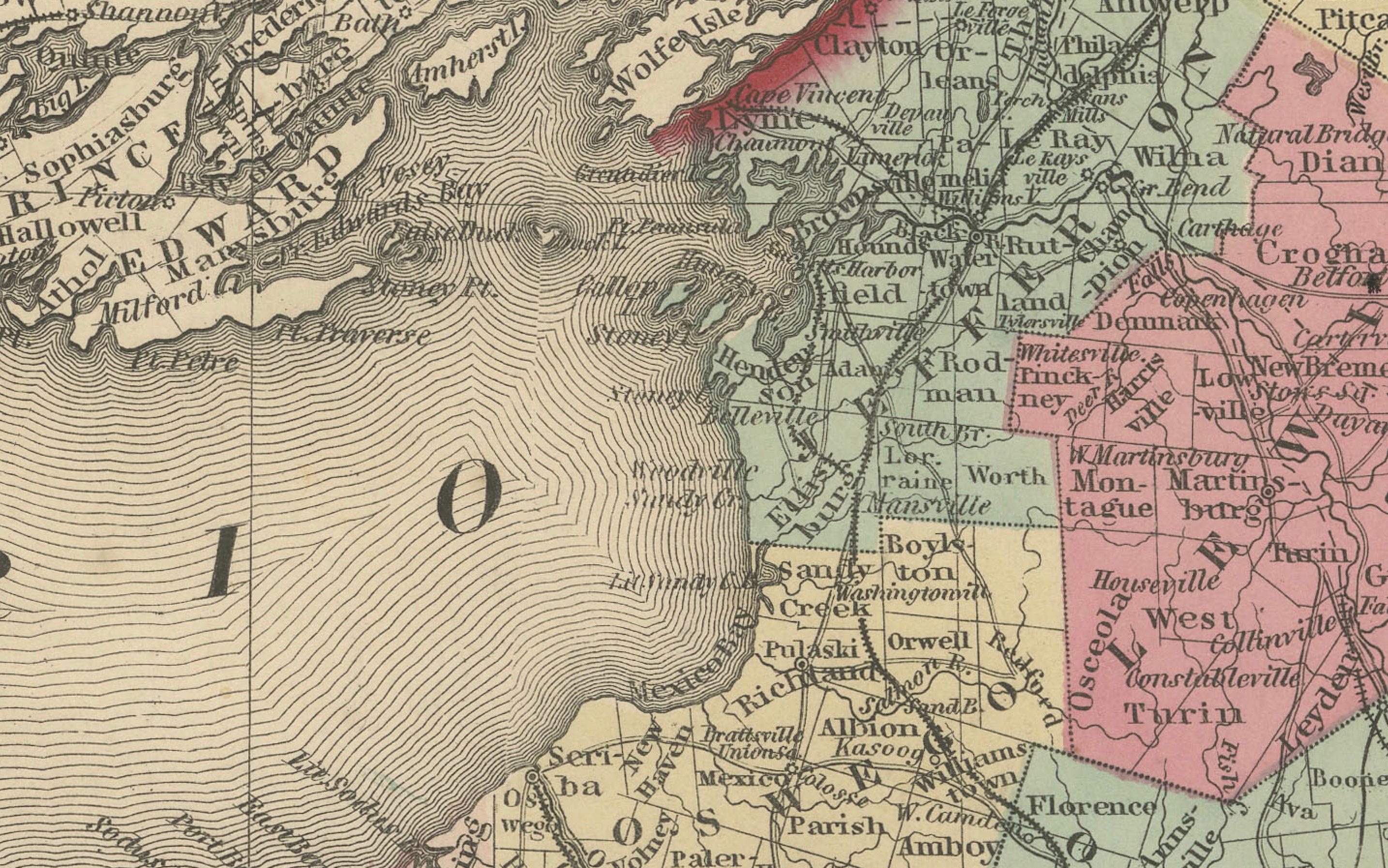
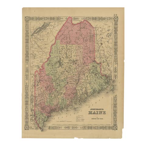
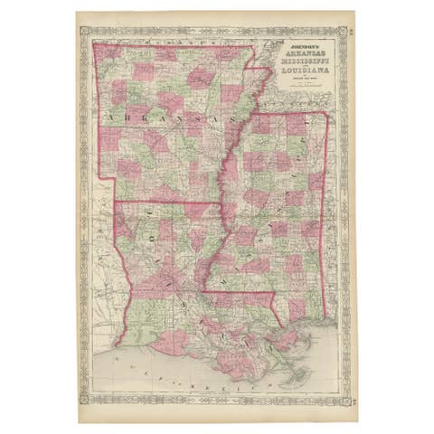
1862 Johnson's Map of New York State by Johnson & Browning
€ 280
One of a kind: this is the sheet in the photographs. Ships from Langweer, the Netherlands.
Date
1862
Sheet size
36 × 46 cm (14.2 × 18.1 in)
Condition
Fair
Reference
BG-13952-4
Condition
The map is in fair to good condition, with some discoloration and minor foxing along the edges. There are small tears in the margins, particularly along the right edge, but they do not significantly affect the main image.
About this sheet
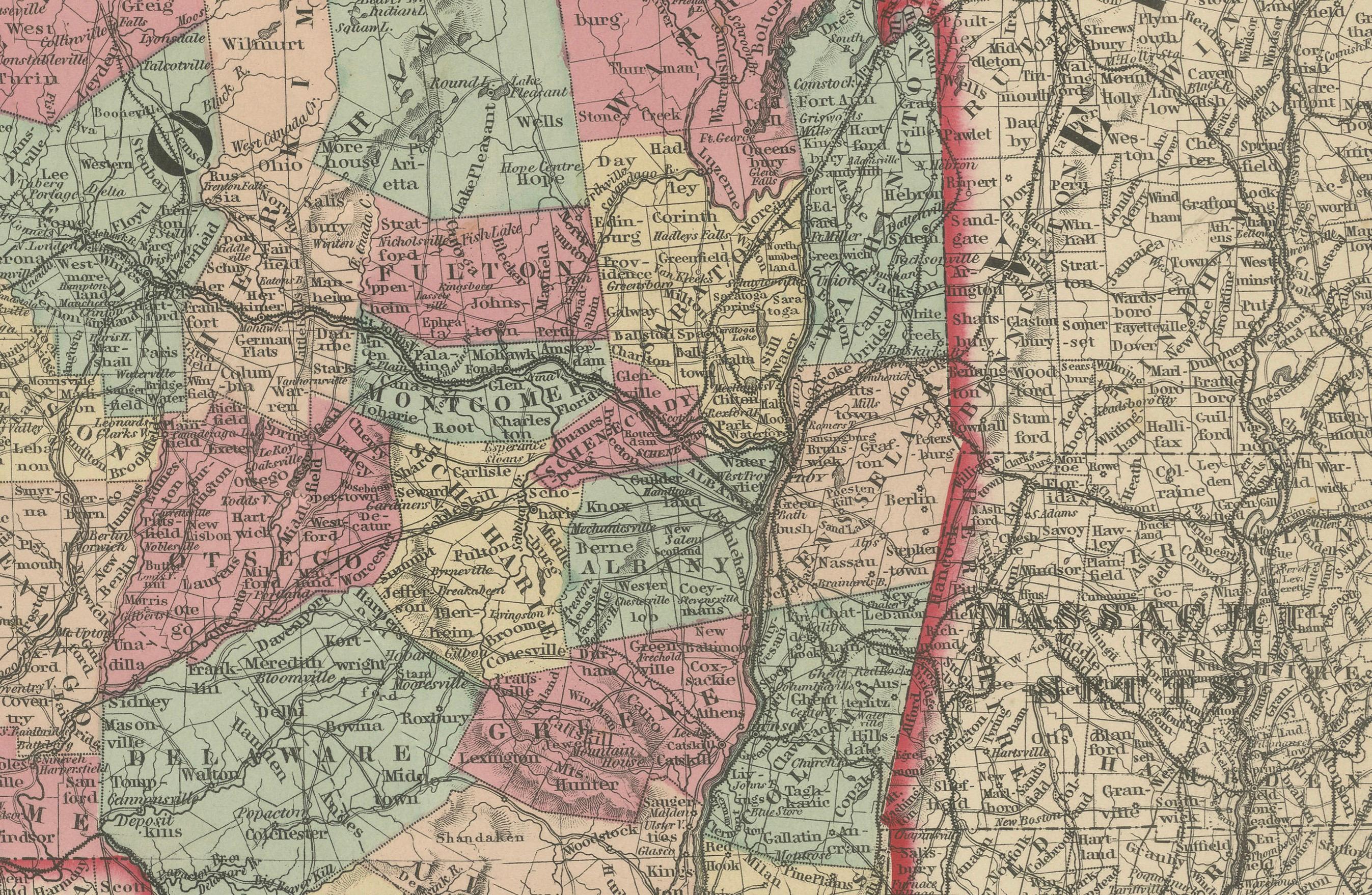
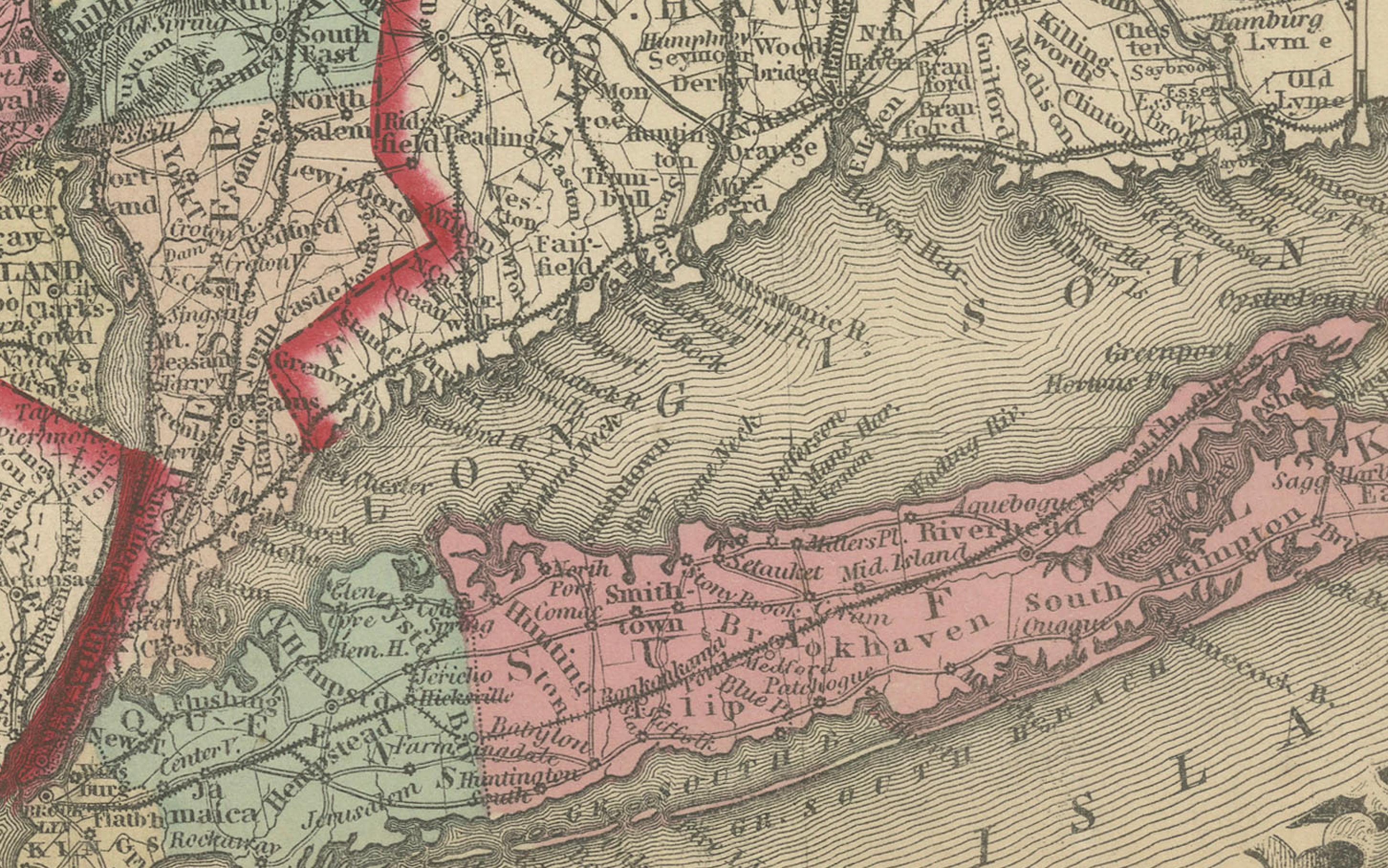
This is an 1862 map of New York State, titled "Johnson's New York," created by Johnson & Browning. The map is distinguished by its hand-colored county divisions, which use different shades to clearly demarcate regions, making it easier to understand the state's political geography of the time. It features major cities, towns, and transportation routes, including railroads, which played a critical role in the economic development of the state.
The map includes an elaborate decorative border typical of Johnson maps, adding to its aesthetic appeal. The detailed representation of waterways, roads, and terrain highlights the state's complex geography, which was important for trade and transportation in the mid-19th century.
Condition: The map is in fair to good condition, with some discoloration and minor foxing along the edges. There are small tears in the margins, particularly along the right edge, but they do not significantly affect the main image. The central fold, indicative of its atlas origin, remains visible but is well-preserved. The colors have remained vivid, enhancing the visual separation between counties and making the details of the map more readable. The ornate border is mostly intact, contributing to its antique charm.