About this sheet
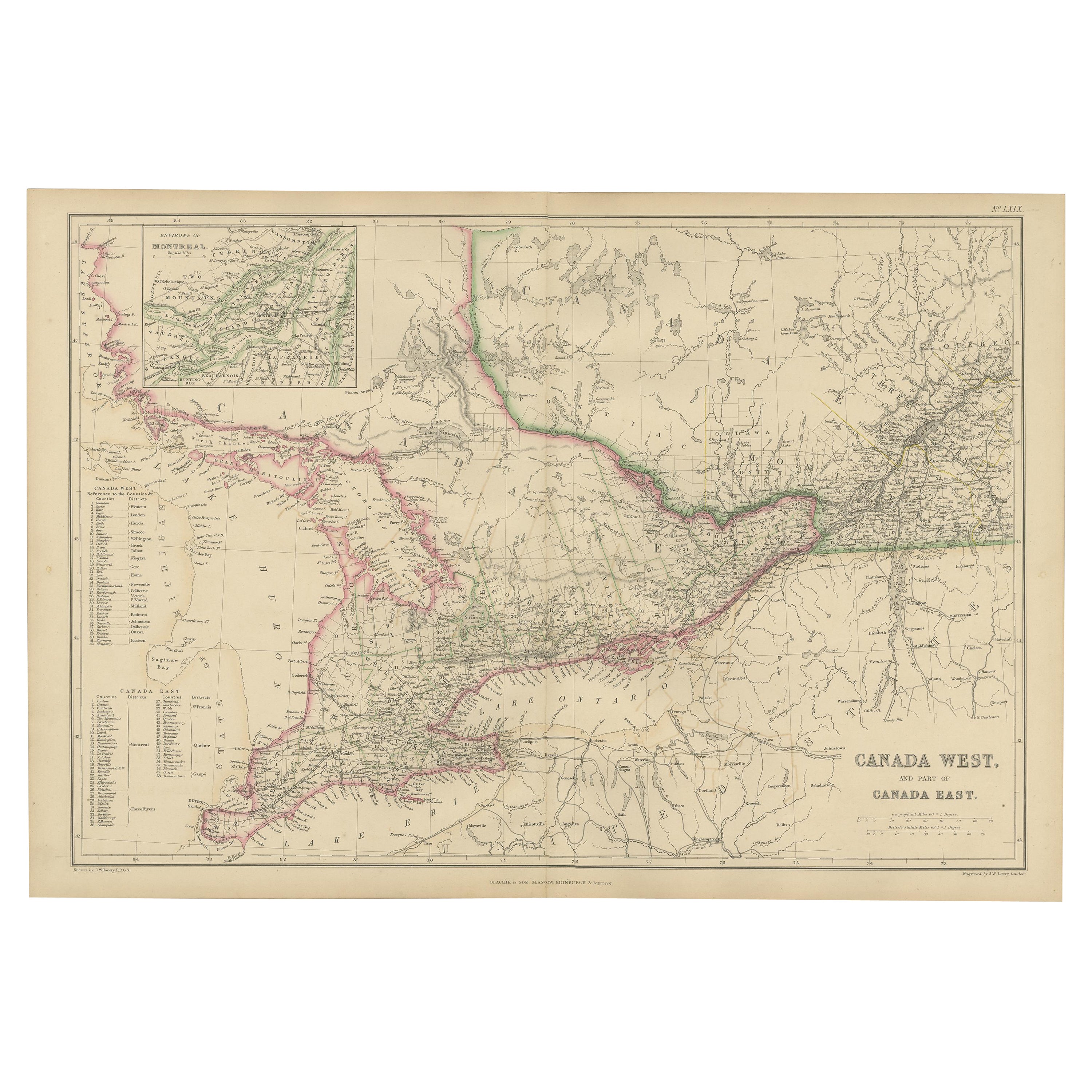
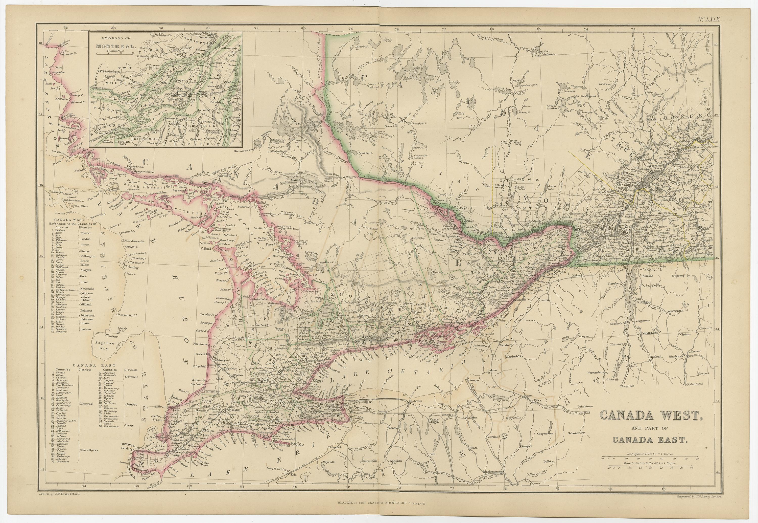
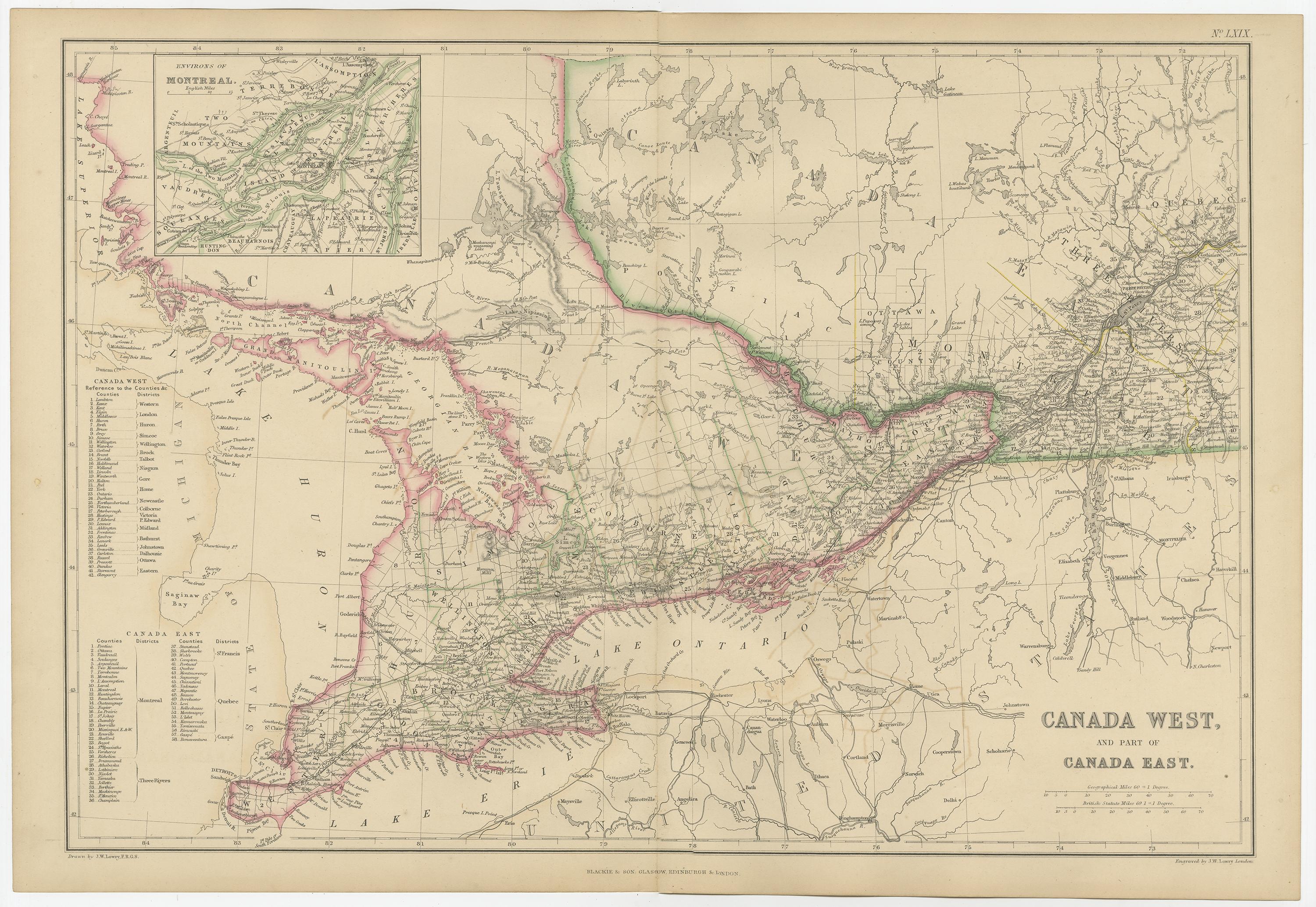
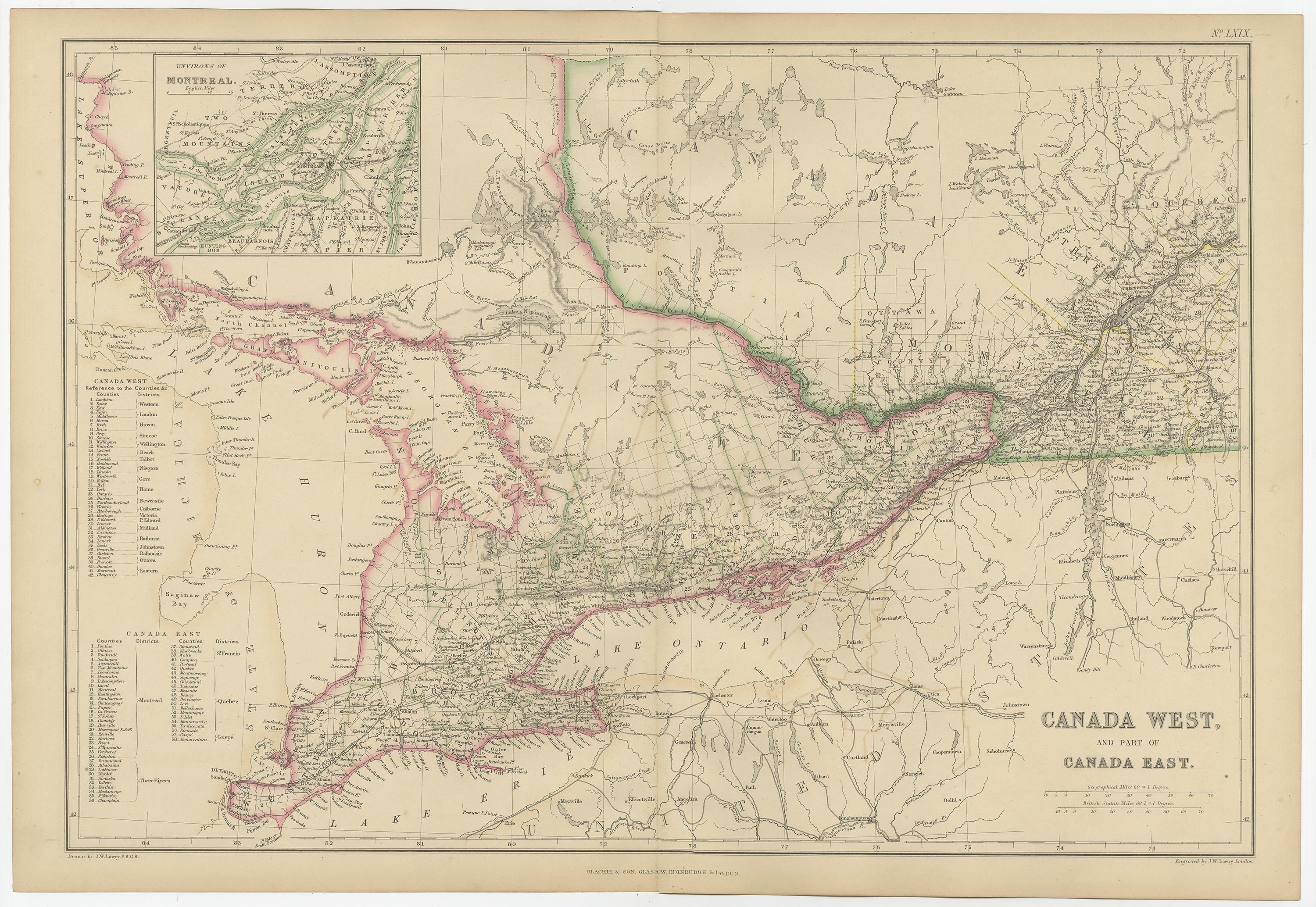
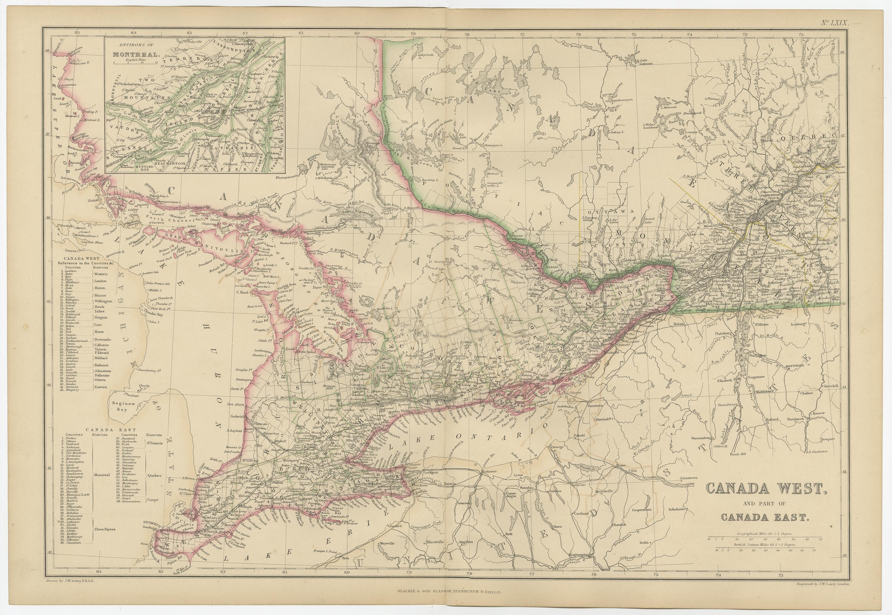
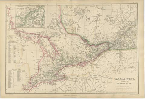
Canada West and Part of Canada East, Antique Map, Great Lakes Region, 1859
This original antique map titled Canada West and Part of Canada East presents a detailed mid-19th-century view of Upper and Lower Canada, corresponding largely to present-day Ontario and Quebec. The map originates from The Imperial Atlas of Modern Geography and was published in 1859 by W. G. Blackie, a leading British publisher of authoritative educational atlases.
The map focuses on the Great Lakes and St. Lawrence River corridor, a region central to trade, settlement, and political development in British North America. Canada West (Ontario) and Canada East (Quebec) are clearly delineated with original hand coloring, while finely engraved detail records counties, towns, road networks, rivers, and railways. The Great Lakes—Superior, Michigan, Huron, Erie, and Ontario—form a dominant visual and geographic framework, underscoring their importance as transportation routes and economic arteries.
An inset map of the environs of Montreal appears in the upper left, providing added detail of one of the region’s most important urban and commercial centers. The dense concentration of place names and infrastructure reflects the rapid growth and increasing administrative complexity of the region during the decades leading up to Canadian Confederation.
The composition balances detailed inland geography with open water areas, giving the map both clarity and decorative strength. Its horizontal format, refined engraving, and restrained original coloring make it suitable for collectors of Canadian, North American, and colonial cartography, as well as for interior designers seeking a historically grounded wall map with architectural presence.
Condition report:
Good antique condition. Light overall age toning consistent with age. Minor scattered foxing and light handling marks, mainly confined to the margins. Original central fold as issued. No major tears or losses.
Framing tips:
A wide ivory or warm cream mat will enhance the engraved detail and original hand coloring. A dark walnut, black, or understated antique gilt frame complements the map’s scholarly and refined character. Museum or UV-protective glass is recommended.
Technique: Copper engraving with original hand coloring
Maker: W. G. Blackie, Scotland, 1859
Keywords:
Canada West map, Canada East map, Ontario map, Quebec map, Upper Canada, Lower Canada, Great Lakes map, Lake Ontario, Lake Erie, Lake Huron, Lake Superior, Lake Michigan, St Lawrence River, Montreal, Toronto, Kingston, Ottawa, Quebec City, Niagara Peninsula, Niagara River, Welland Canal, Georgian Bay, Detroit River, colonial Canada, British North America, pre Confederation Canada, 19th century Canada map, antique Canadian map, Blackie atlas, Imperial Atlas, copper engraved map, hand colored map, historical cartography, colonial cartography, settlement patterns, railway map, road networks, river systems, trade routes, exploration era, British Empire maps, North America map, Victorian atlas, wall map art, interior design art, collector map, educational atlas, 1859 map