About this sheet
Southern India Map, Deccan & Malabar, Nicolas Sanson, 1683
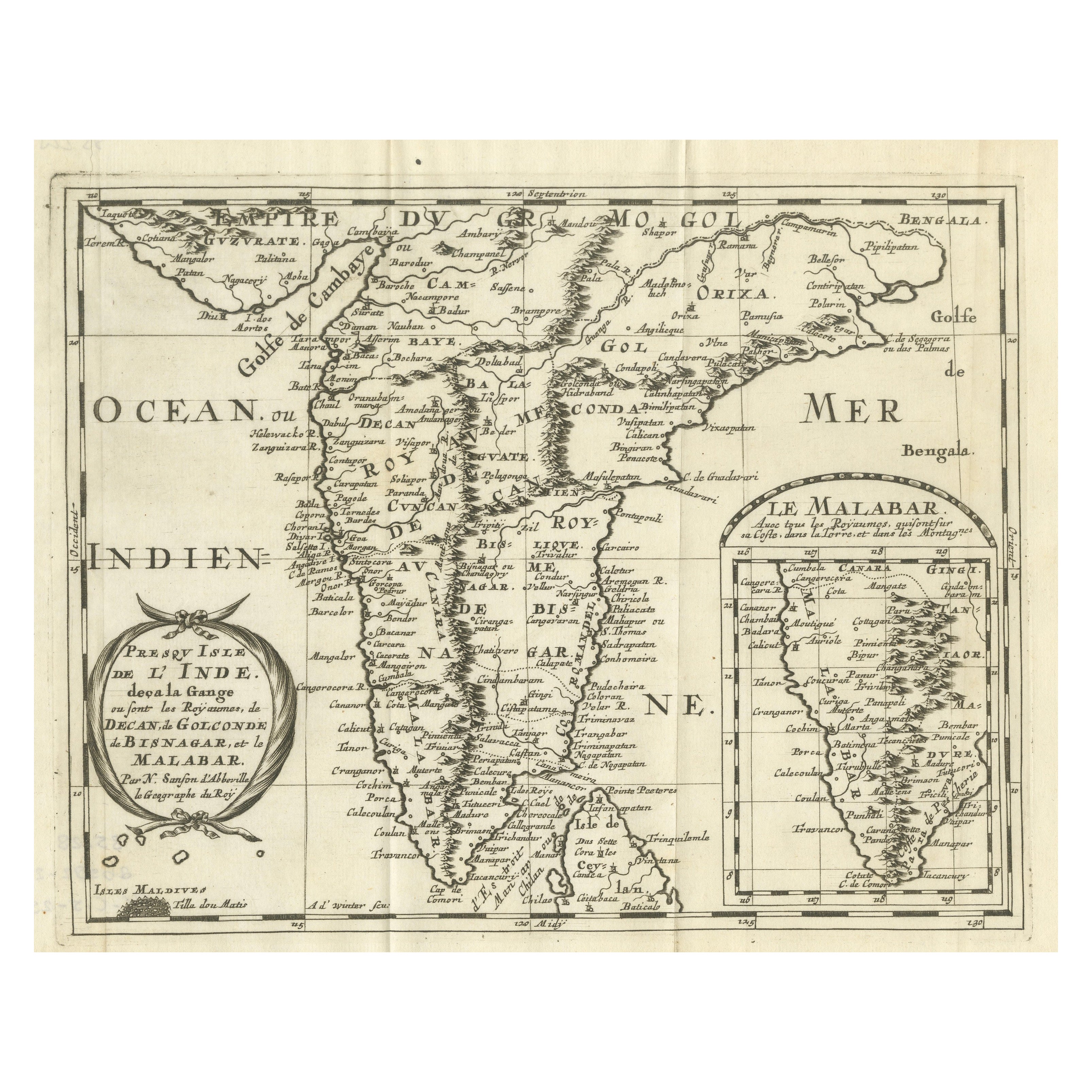
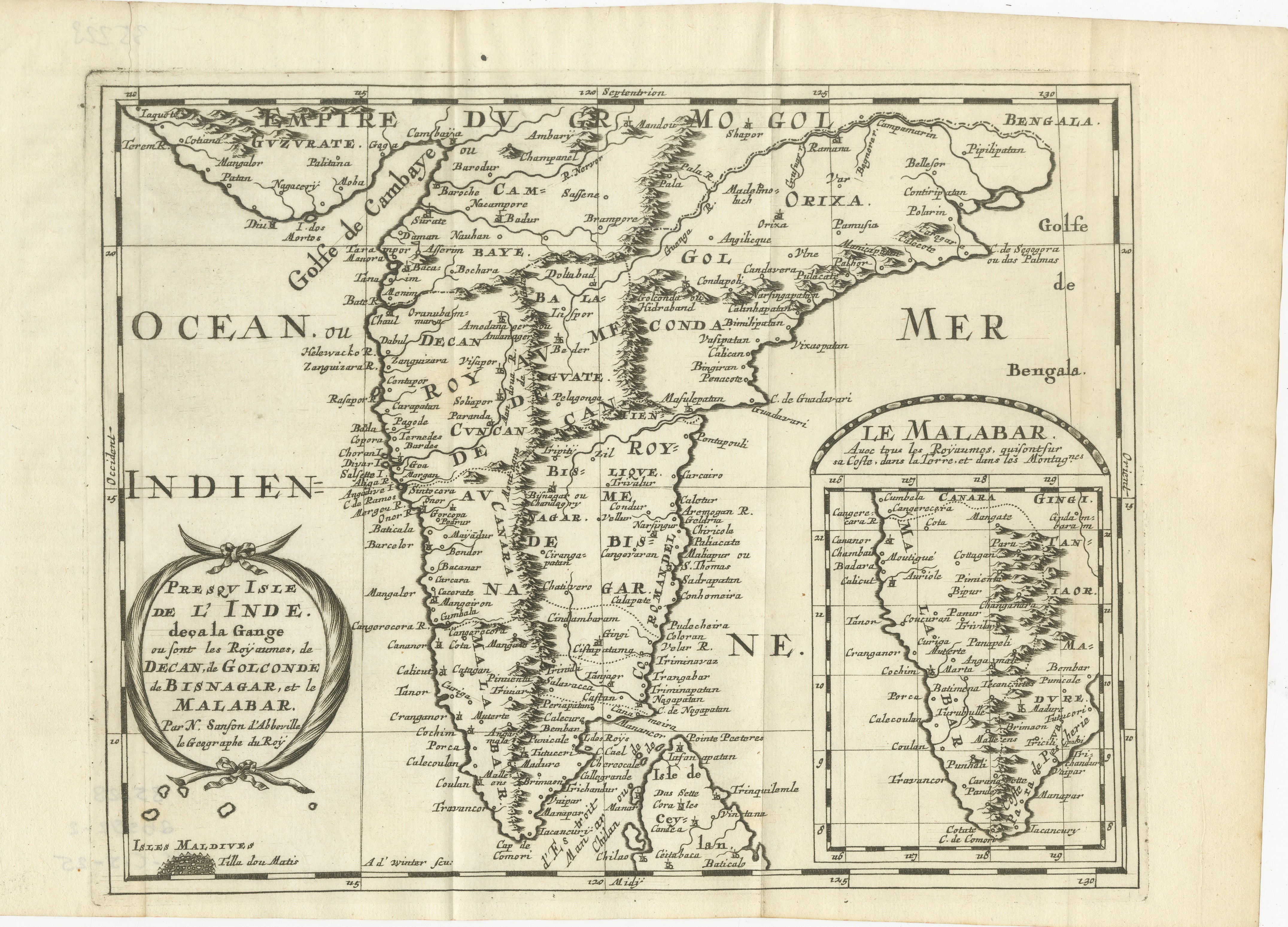
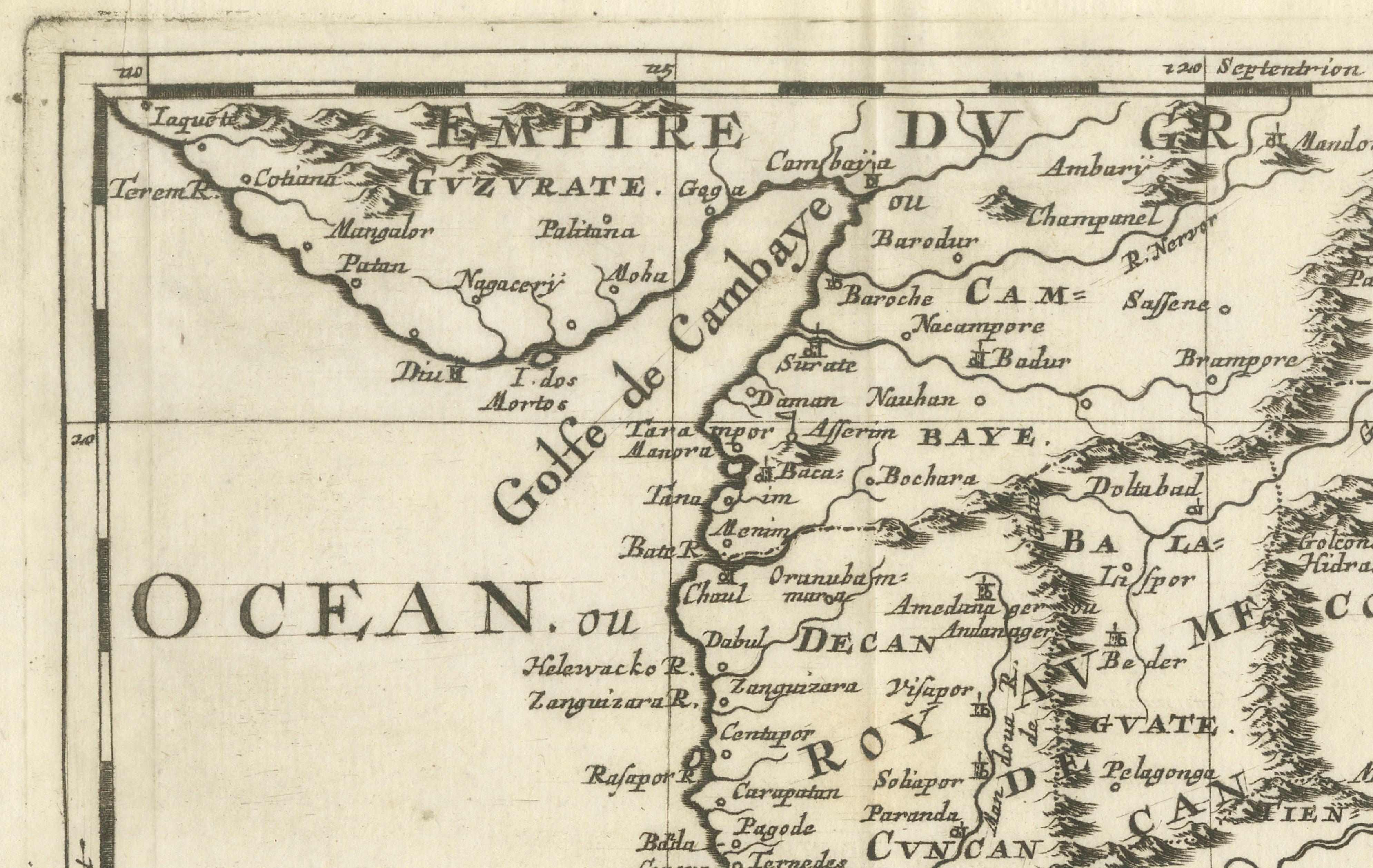
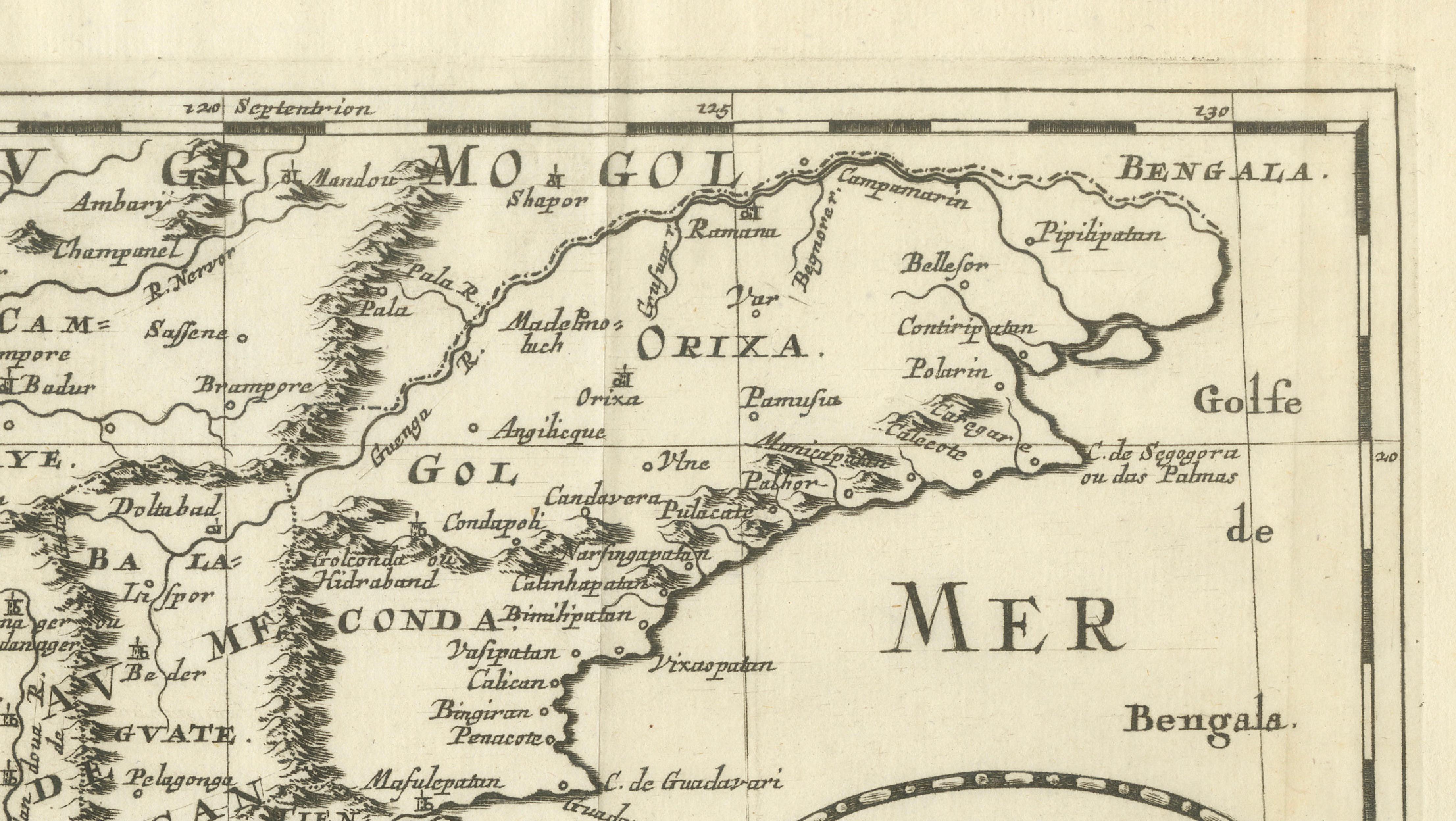
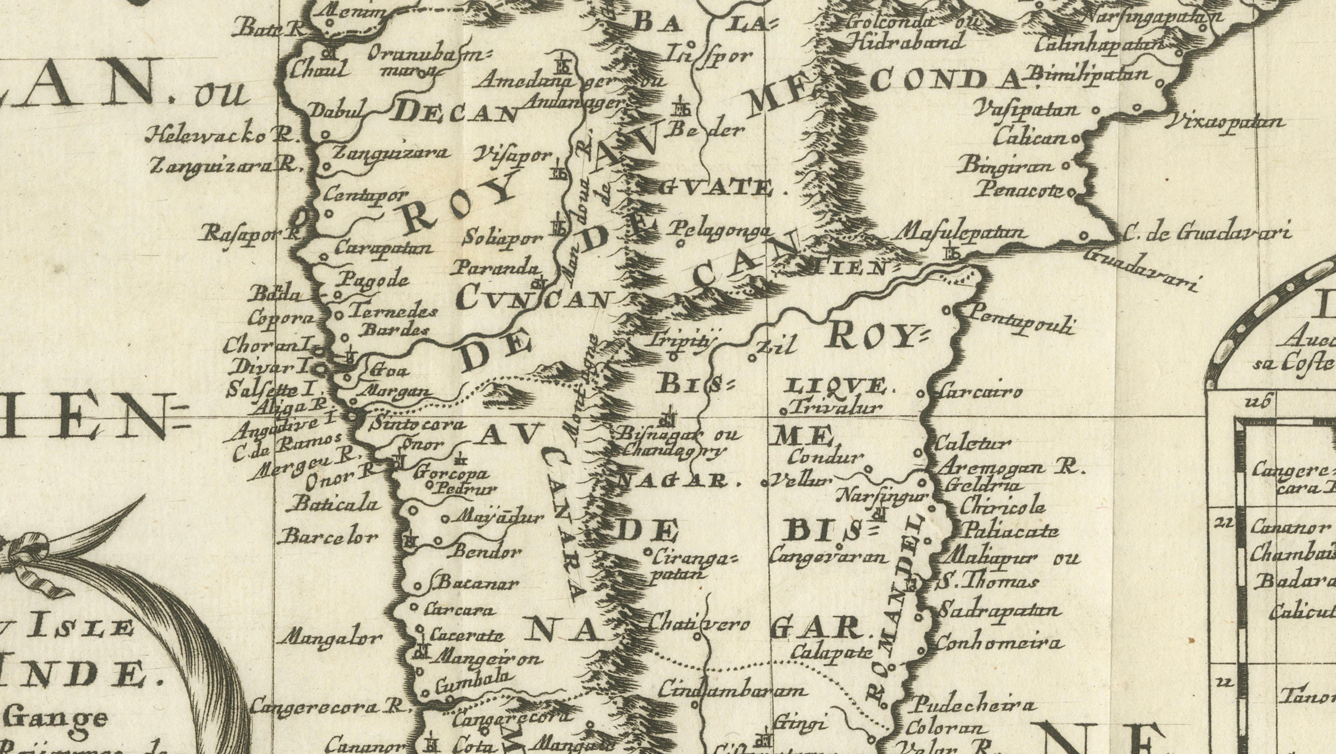
This engraved map depicts the Indian Peninsula, extending from Gujarat and the Bay of Bengal in the north to Cape Comorin and the northern tip of Sri Lanka in the south. Titled Presqu’Isle de l’Inde deça la Gange, it shows the major regions known to European geographers in the mid-17th century, including the Deccan, Golconda, Bisnagar, and the Malabar Coast.
The coastline is rendered with clarity and confidence, reflecting the strength of European coastal knowledge driven by maritime trade. Inland geography is more speculative, with mountain ranges and river systems presented according to contemporary geographic theory rather than direct observation. Despite this, the map successfully conveys the political and commercial structure of southern India as understood by Europeans during the early modern period.
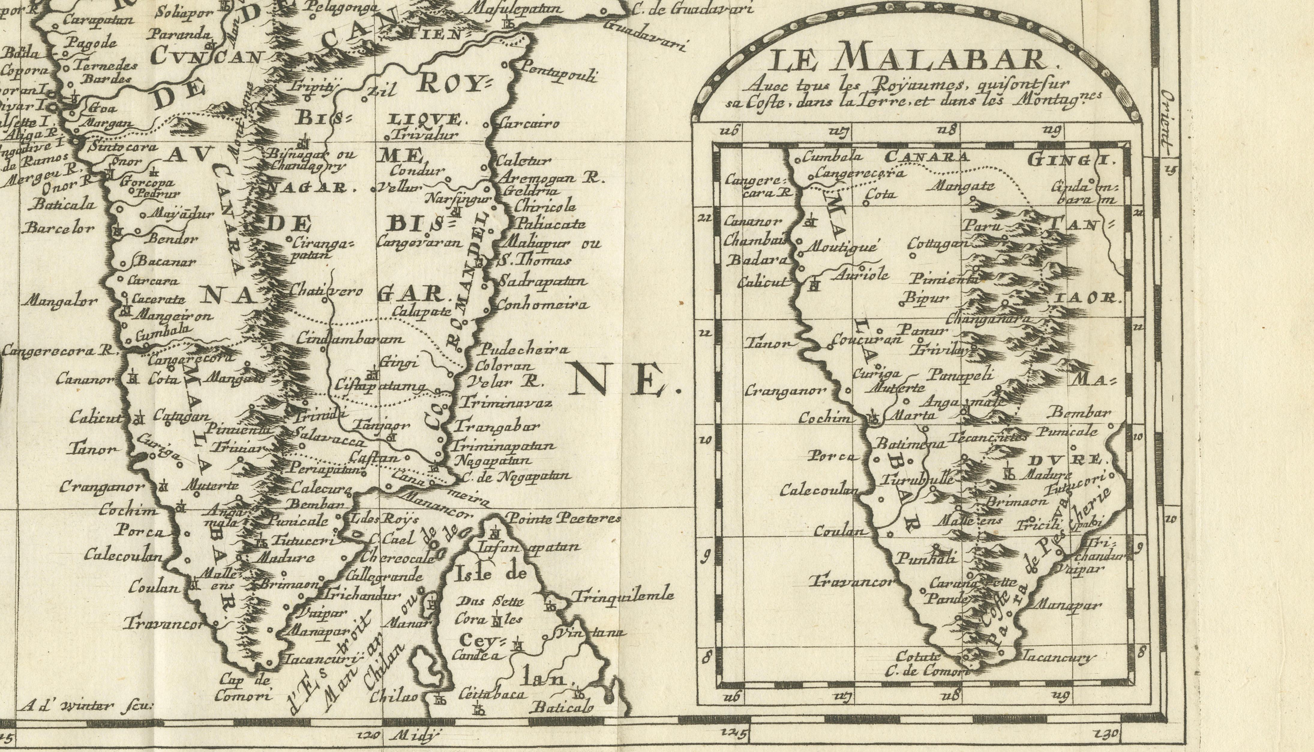
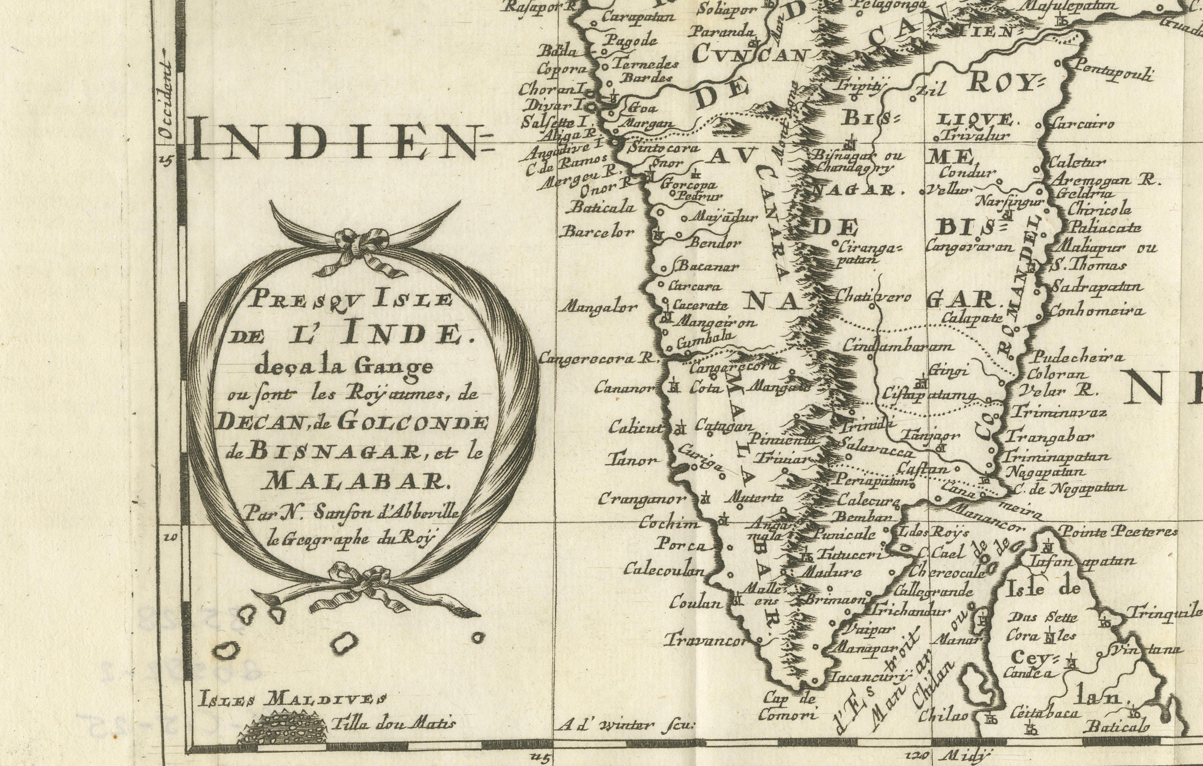
An inset map at the lower right provides a focused view of the Malabar Coast, underscoring its importance within the Indian Ocean trading world. The Maldives are also included, with the northern atoll identified as “Tilla dou Matis,” highlighting European awareness of key maritime landmarks. Place names such as Golconda and Bisnagar reflect European adaptations of local political entities, some of which were already in decline or transformation by the time this map was issued.
The map was originally created by Nicolas Sanson in 1653 and later re-engraved for the first Dutch edition of his small-format atlas, published in Utrecht in 1683. The Dutch plates were engraved by Anthonie de Winter after Sanson’s Paris originals and are faithful copies rather than later reinterpretations. This example corresponds to that 1683 Utrecht issue, prior to later reworkings of the plate around 1700.
Printed on period paper, the map shows signs of age and use consistent with its origin from a bound atlas. It remains visually strong and is well suited for decorative framing, particularly for interiors focused on cartography, travel, or Asian history.
Condition report:
Engraved map on paper. Central vertical folds as issued, with overall age toning and light surface wear. Minor stains and handling marks visible. Margins present with some wear. Condition consistent with age and reflected in price.
Framing tips:
A wide mat is recommended to accommodate the folds and soften their appearance. Dark wood or black frames enhance the engraved detail and give the map strong visual presence. A floated mount can also work well if the folds are embraced as part of the map’s history.
Technique: Engraving
Maker: Nicolas Sanson d’Abbeville, re-engraved by Anthonie de Winter, Utrecht, 1683