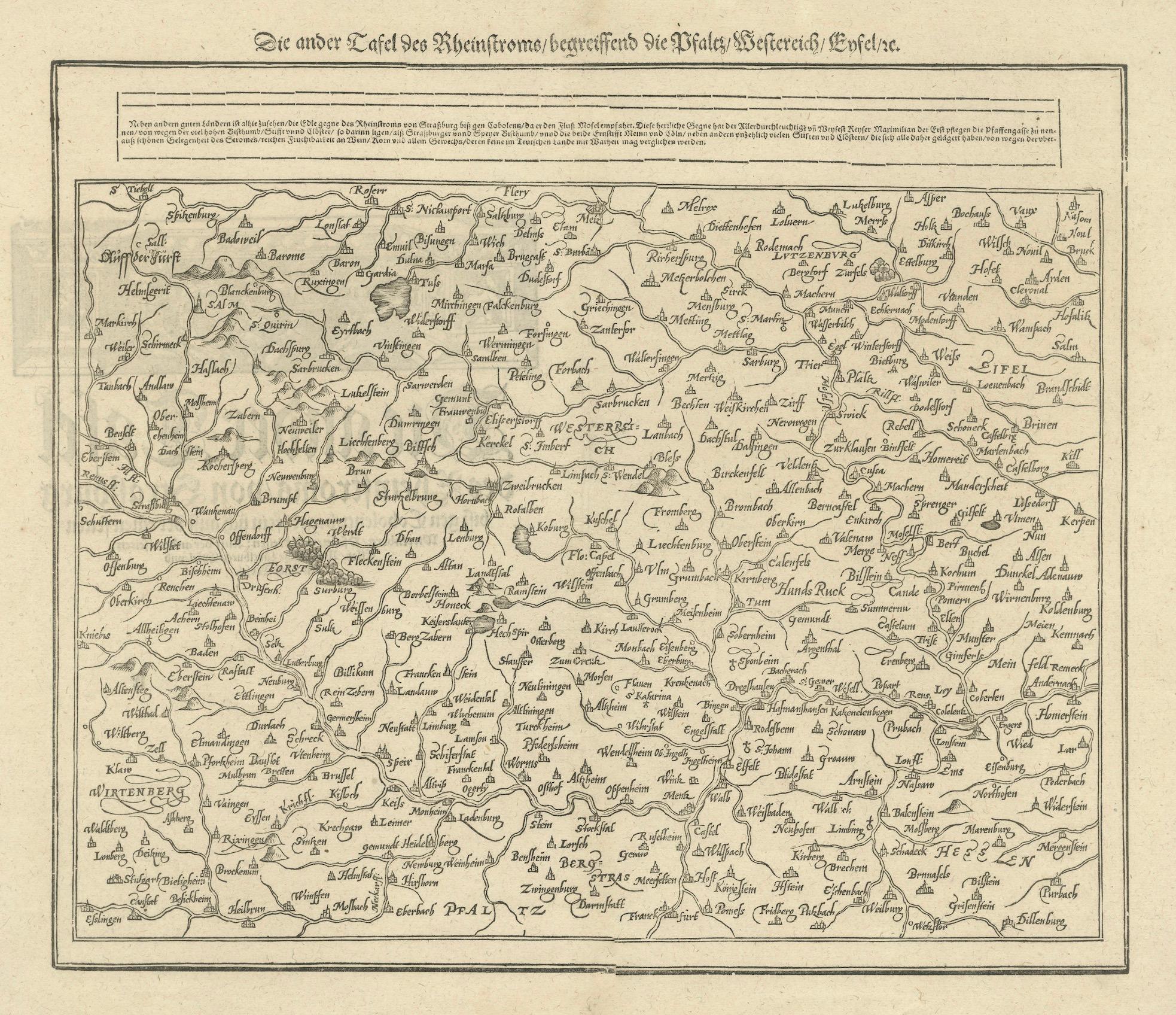
Woodcut Map of the Rhine River Region Covering the Palatinate, Austria and Elsa
€ 480
One of a kind: this is the sheet in the photographs. Ships from Langweer, the Netherlands.
Sheet size
36.7 × 41.3 cm (14.4 × 16.3 in)
Condition
Good
Reference
BG-13842-9
Condition
Condition report: Very good. Well-preserved with minor toning consistent with age. The print is crisp, and the details remain clear, with slight foxing in the margins. Overall, it is a charming and well-kept example of early cartography.
About this sheet
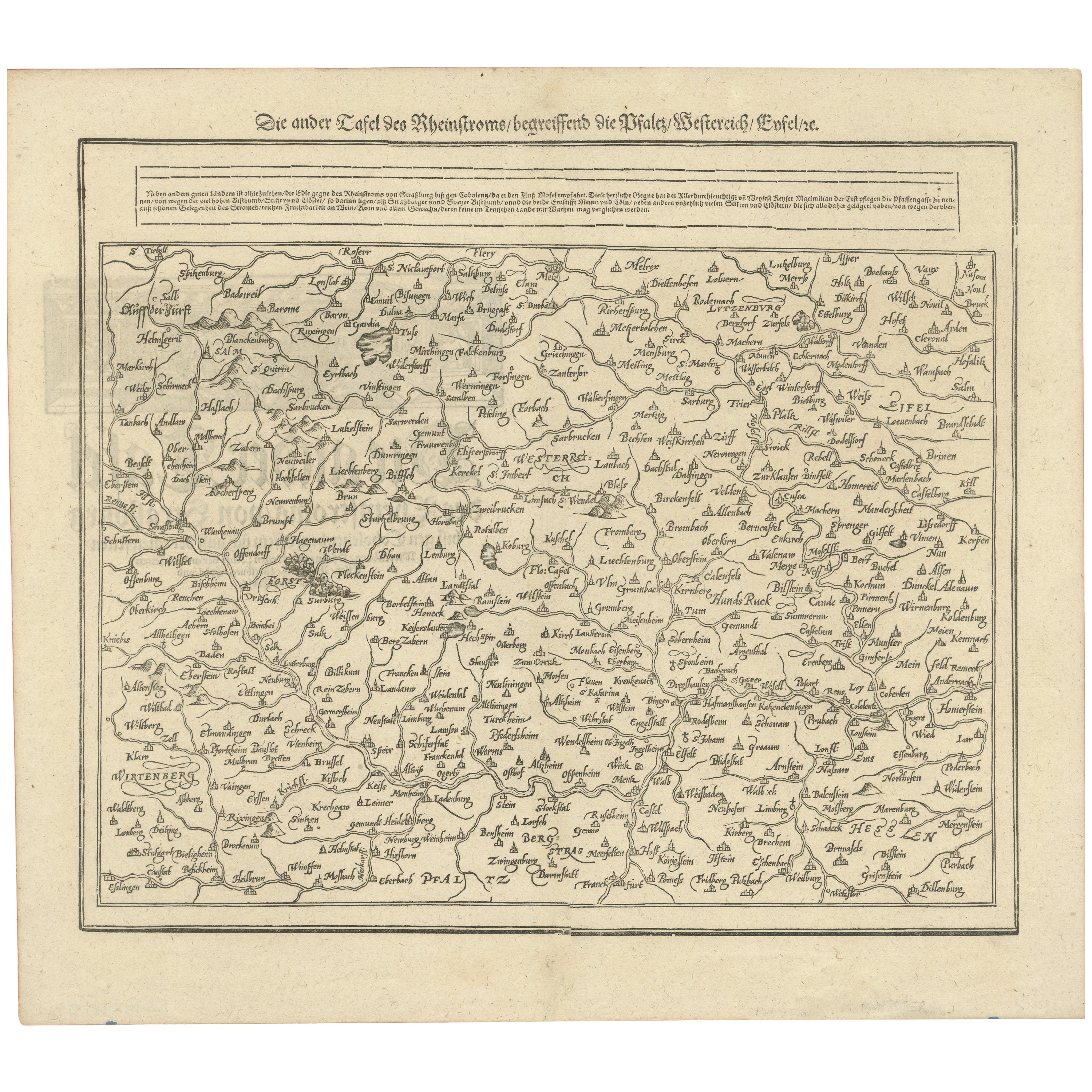
Early Woodcut Map of the Rhine River Region Covering the Palatinate, Austria, and Elsass, ca. 1628
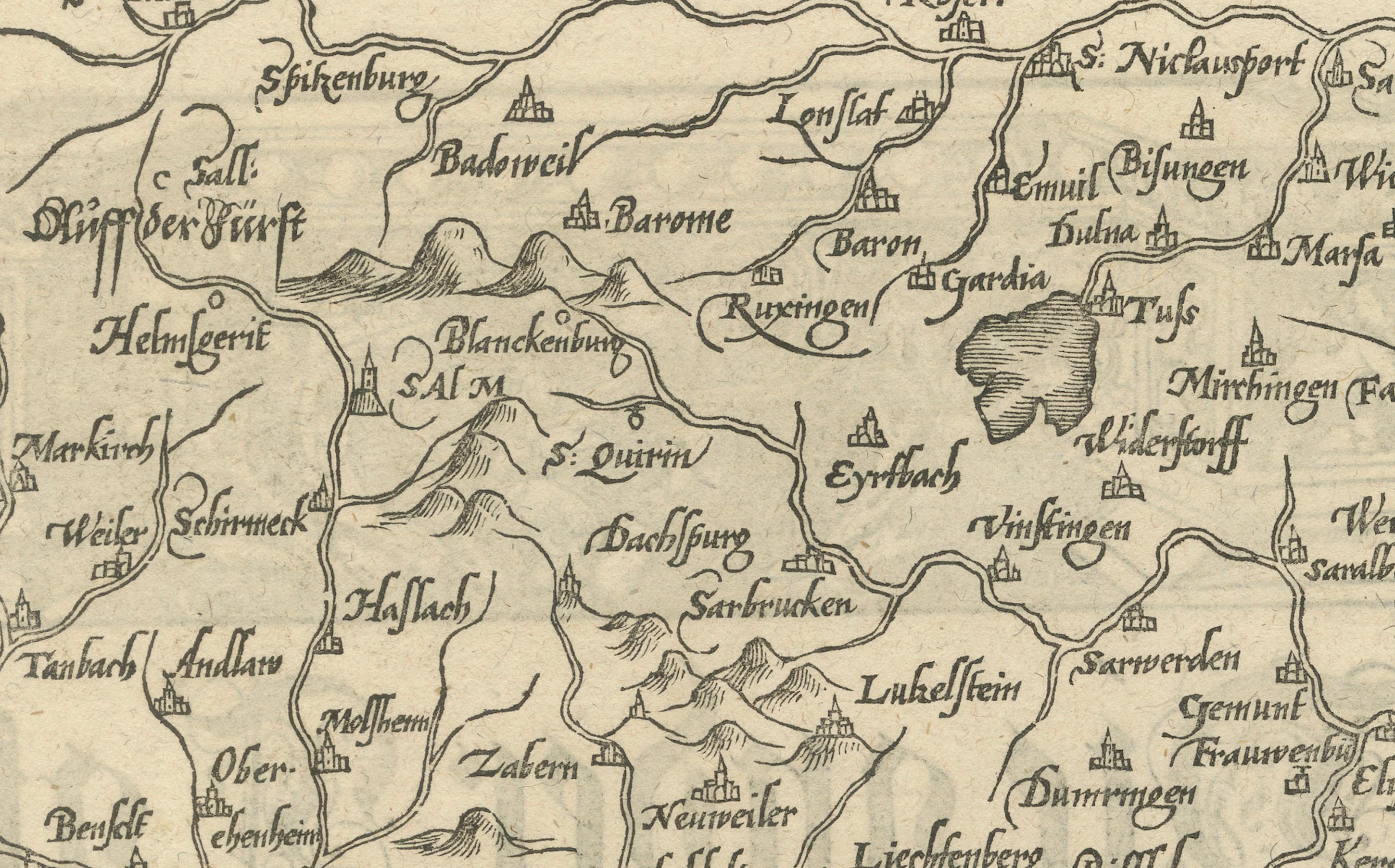
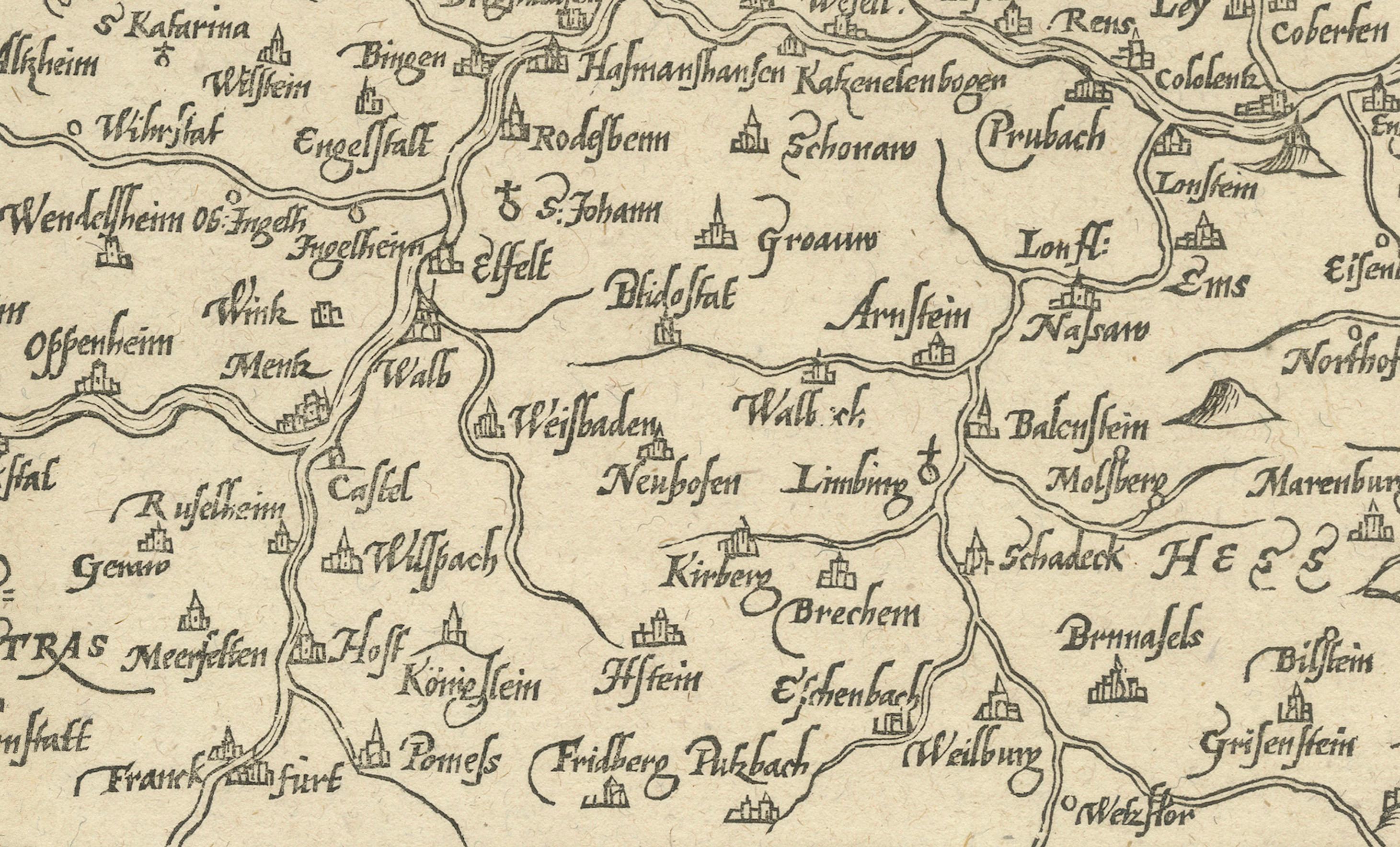
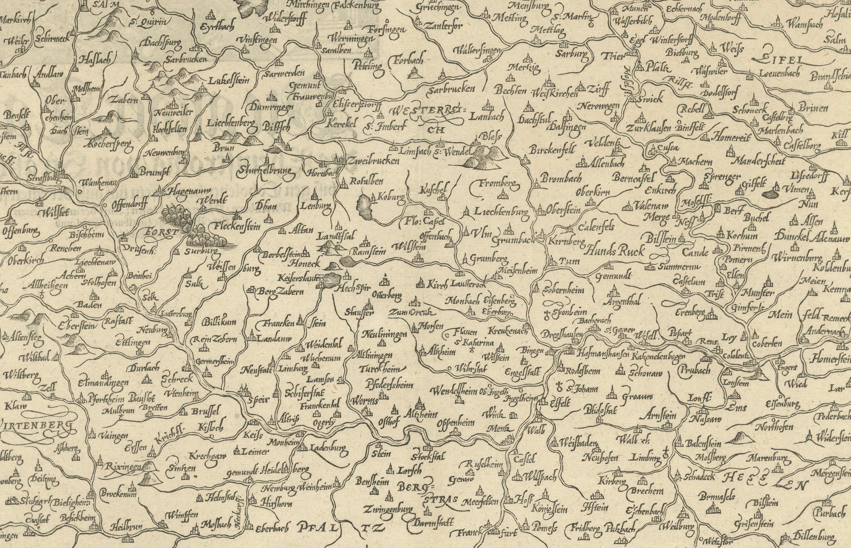
This early woodcut map, titled "Die ander Tafel des Rheinstromes/begriffen die Pfalz/Westereich/Elsass/etc." provides an extensive depiction of the Rhine River region, including the areas of the Palatinate (Pfalz), Austria (Westereich), and Elsass (Alsace). The map showcases major towns, cities, rivers, and significant geographic features throughout the region. It reflects the geographic and political landscape of central Europe during the Renaissance, showing the dense settlement patterns and key transport routes of the time.
Here is the translation of the text:
"Besides other good lands, you can see here the course of the Rhine River from Strasbourg to Koblenz, where it receives the Moselle River. This noble region was called 'Pfaffengasse' by the Emperor Maximilian the First, due to the many high-ranking bishops, abbots, and monasteries that are situated here, such as the bishoprics of Strasbourg and Speyer, and the cities of Mainz and Cologne, along with numerous noble princes and monasteries that have resided there. Due to the beautiful location of the river, the rich fertility of its vineyards, and all other advantages, it can hardly be compared to any other region in Germany."
The intricate detailing of mountain ranges, forests, and towns captures the complexity of the region. This map, like many produced in the 16th century, serves as both a geographic reference and a work of art, with ornate labels and the hand of the cartographer evident in every line. It is a valuable resource for understanding how the Rhine River played a central role in the political and economic activities of central Europe.
Condition report: The map is in well-preserved condition with slight toning and minor foxing along the edges. The details are crisp, and the overall quality is excellent, making this a charming example of early cartographic craftsmanship.