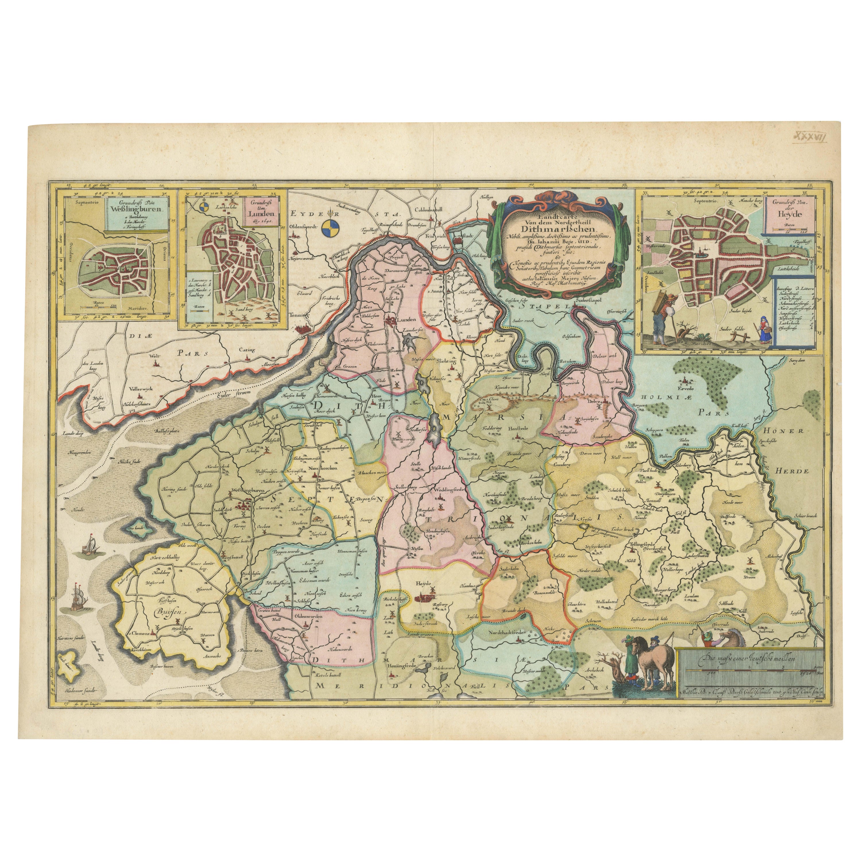
The 17th Century Map of Northern Dithmarschen and Its Towns in Germany
€ 1 140
One of a kind: this is the sheet in the photographs. Ships from Langweer, the Netherlands.
Sheet size
47 × 62.5 cm (18.5 × 24.6 in)
Reference
BG-13673-2
Condition
very good, given age. Fold as published, soothed out. General age-related toning and/or occasional minor defects from handling. Strong paper. Right margin short. Please study scans carefully.
About this sheet
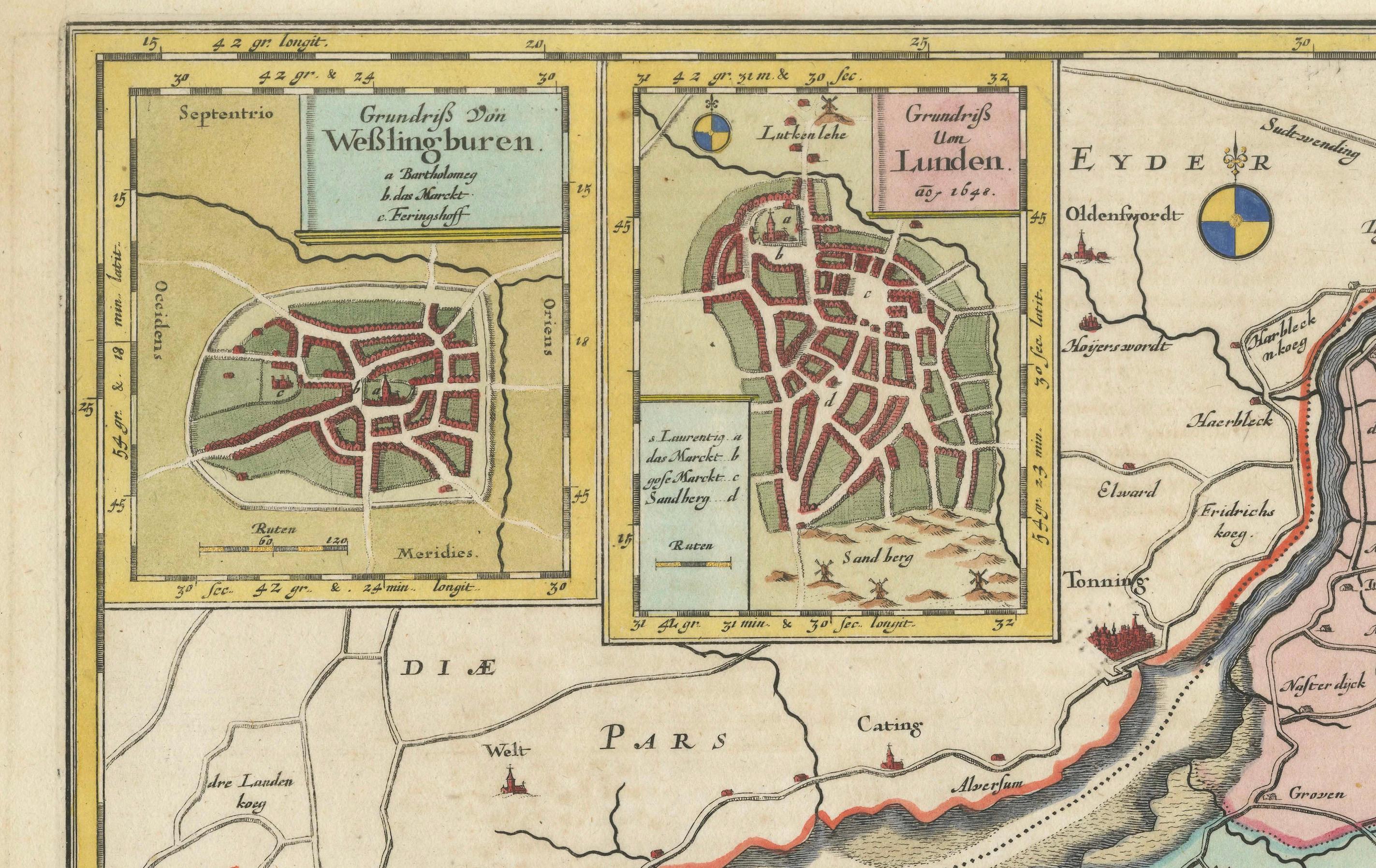
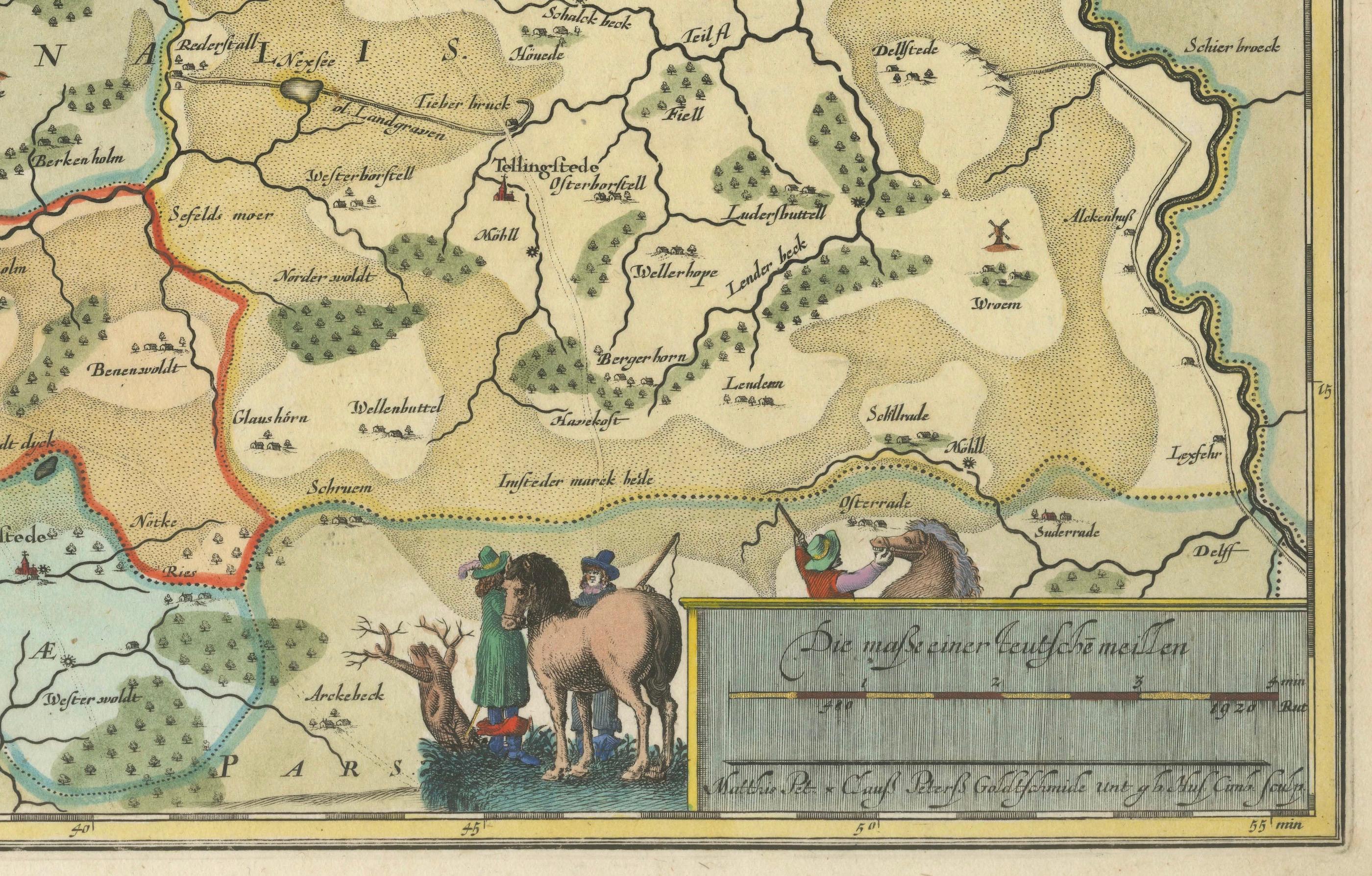
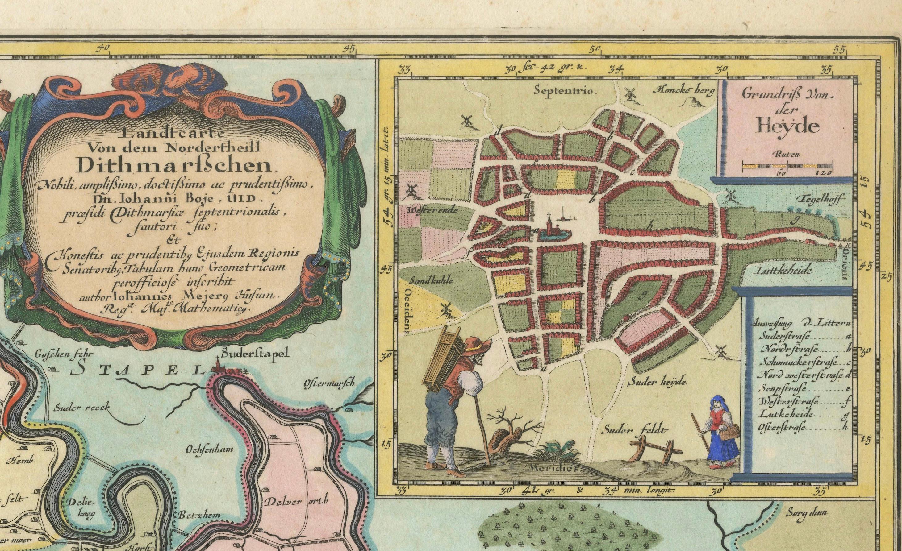
This is a detailed colored copperplate engraving depicting northern Dithmarschen, accompanied by town plans of Weßlingburen (now Wesselburen), Lunden, and Heyde (now Heide) at the top, as well as a mileage indicator and the names of the engravers in the bottom right corner. The title cartouche is prominently displayed along with these town plans.
This map was included in "New description of the two duchies of Schleswig and Holstein" by Johannes Mejer, published by Caspar Danckwerth in Husum. Johannes Mejer, a noted cartographer and mathematician, lived around 1608-1674, and the engravers Matthias and Claus Petersen were renowned goldsmiths and copperplate engravers in Husum at the time.
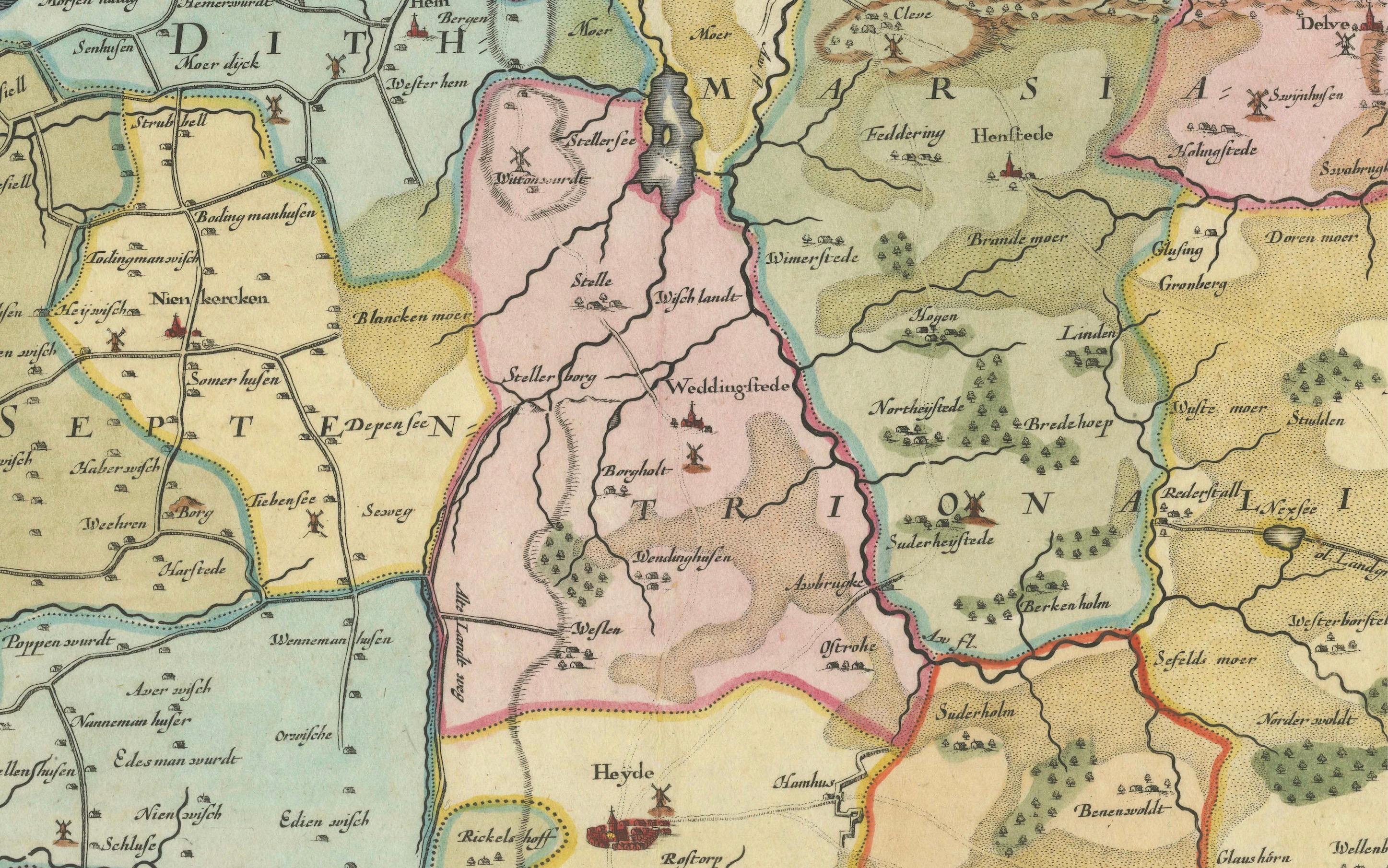
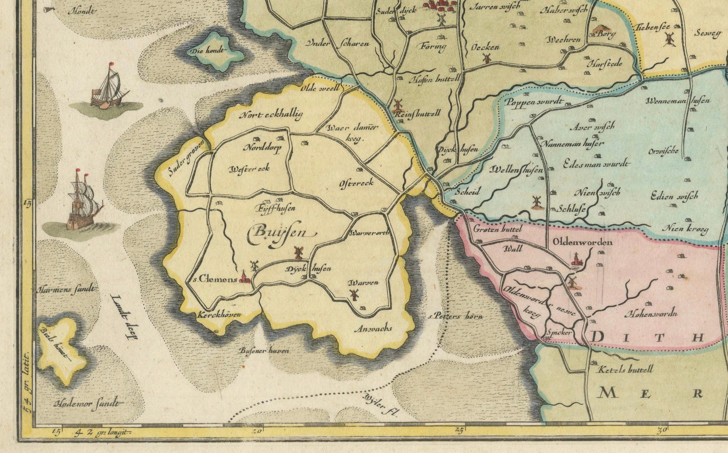
The map’s vibrant colors and intricate details, along with its inclusion of urban layouts and geographic features, reflect the advanced cartographic and artistic techniques of the 17th century. The fold lines have been smoothed out, indicating it has been well-preserved or restored to emphasize its historical and aesthetic value.