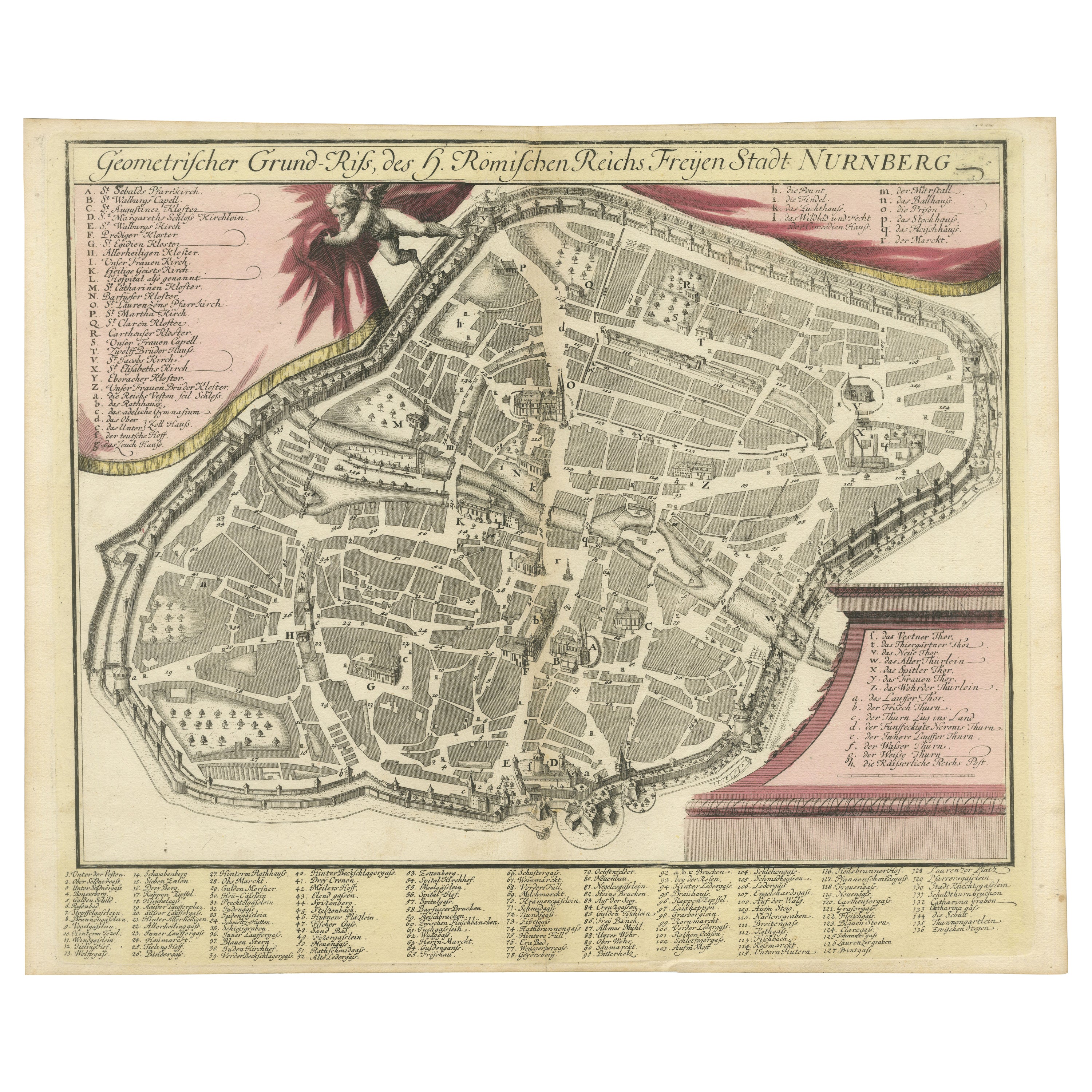
Rare Engraved City Plan of Nuremberg, Bavaria by Christoph Weigel, 1718
€ 940
One of a kind: this is the sheet in the photographs. Ships from Langweer, the Netherlands.
Date
1718
Sheet size
36 × 44.4 cm (14.2 × 17.5 in)
Condition
Good
Reference
BG-13842-16
Condition
Condition Report: The map is slightly stained but in very good condition overall, retaining original colors with crisp details. Folding line middle as issued.
About this sheet
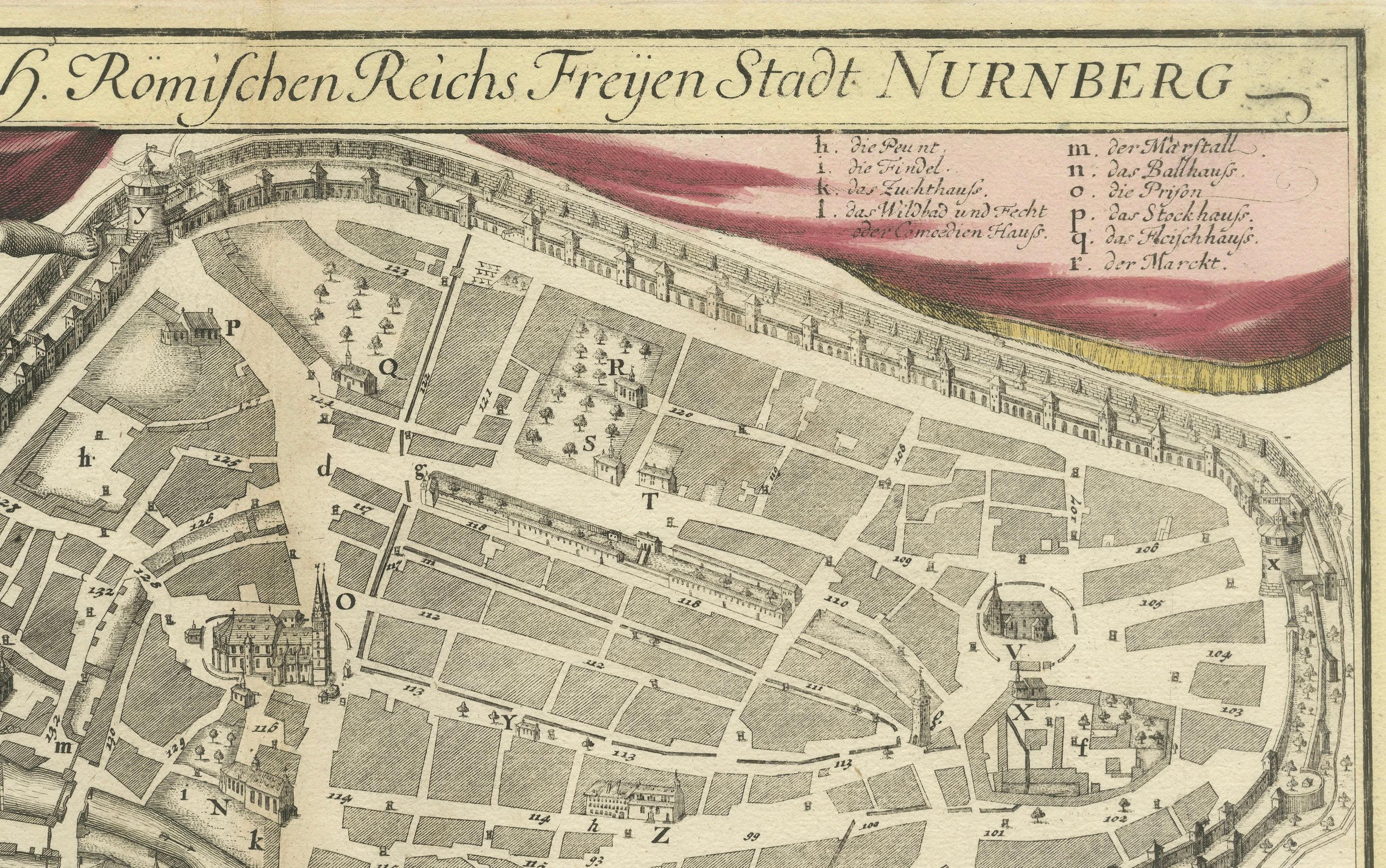
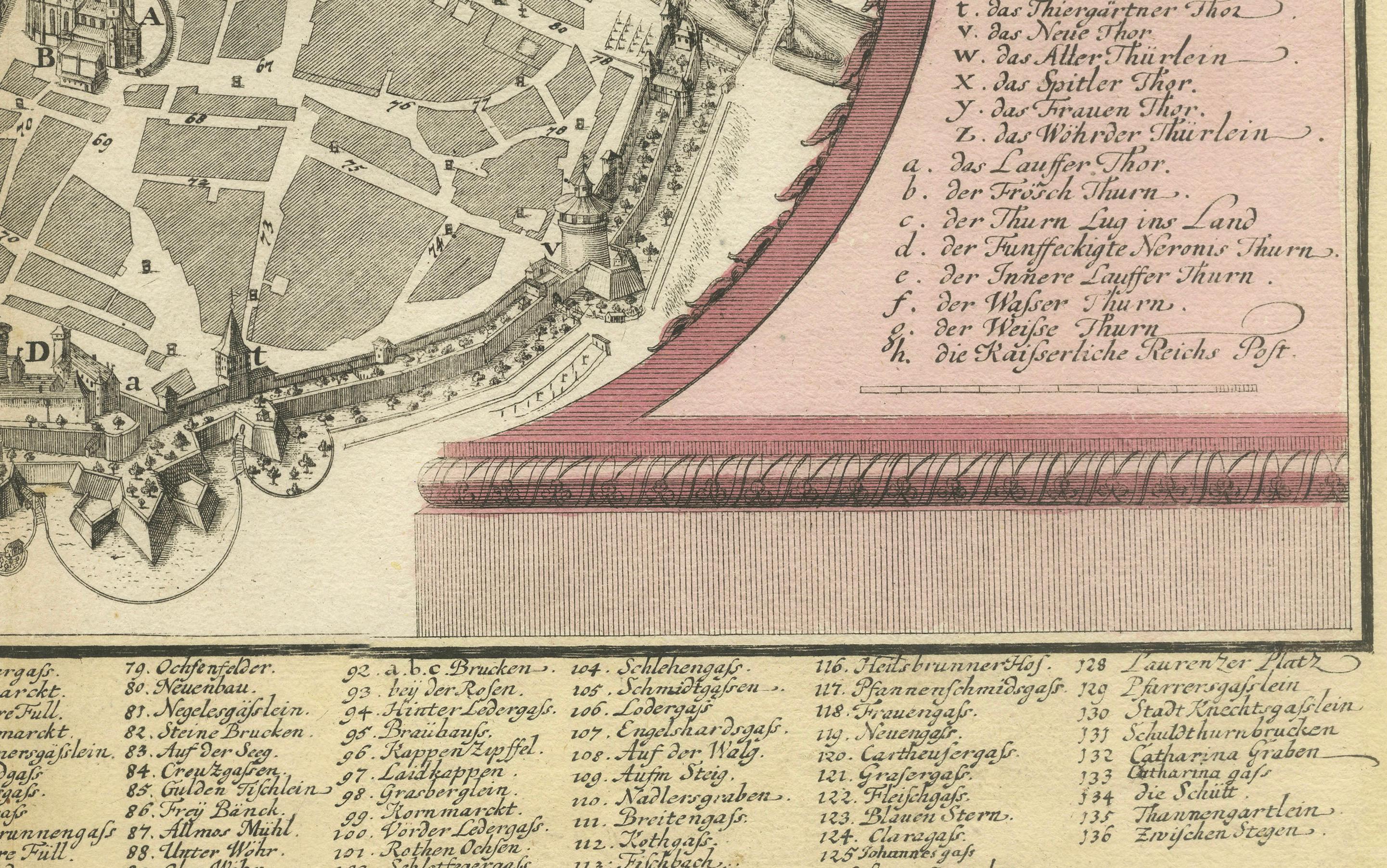
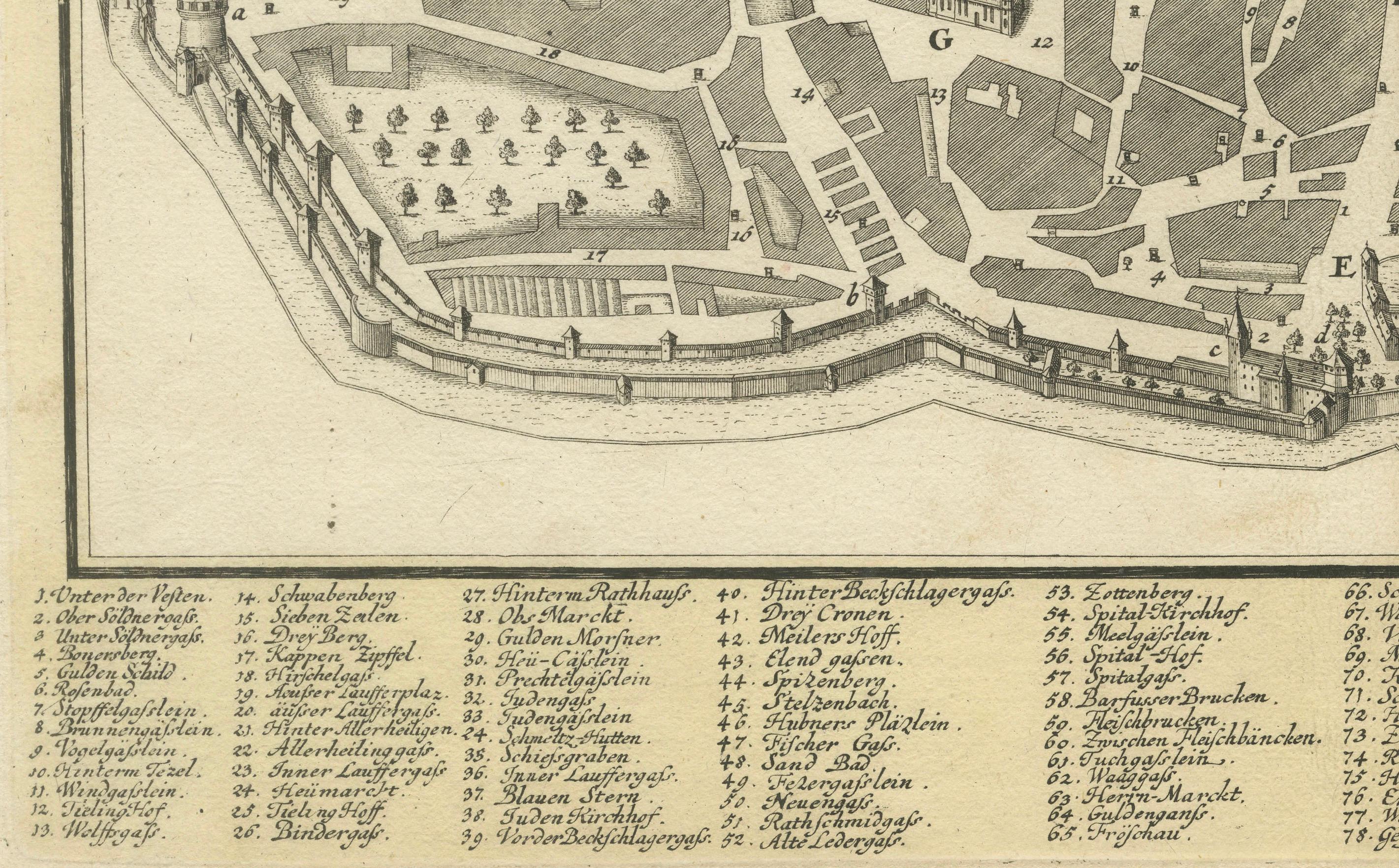
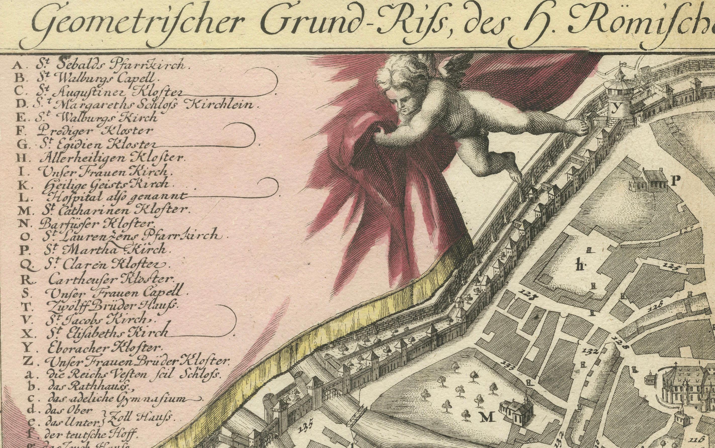
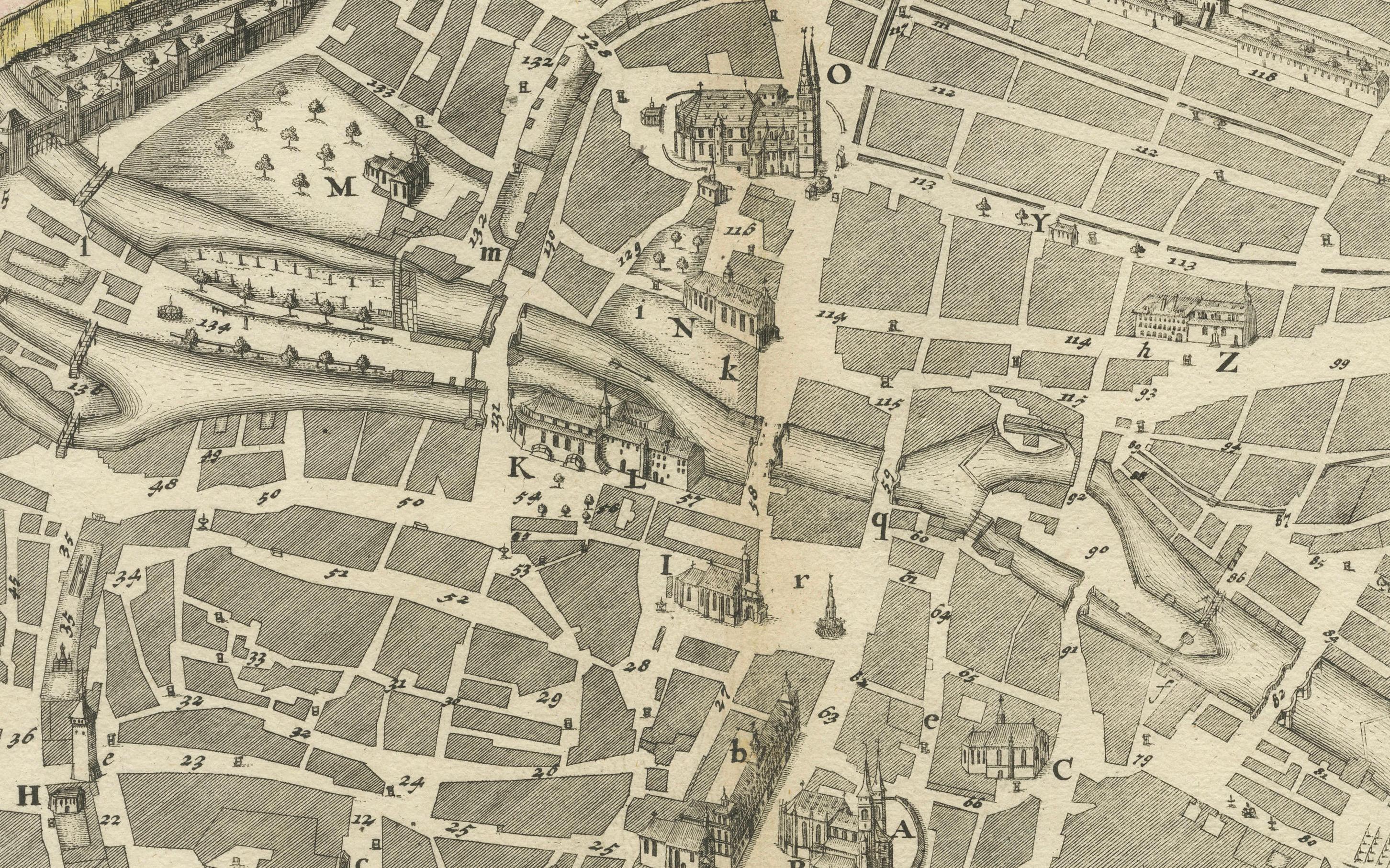
This detailed city plan of Nuremberg, Bavaria was crafted by Christoph Weigel in 1718 and published by Johann Ernst Adelbulner. The map presents a geometric view of the fortified city of Nuremberg, with its intricate street network, fortifications, and numerous key landmarks clearly marked. It provides a comprehensive layout of the city's architecture, urban planning, and points of interest, surrounded by an extensive key that identifies various important buildings and features. The map belongs to Weigel's travel atlas, "Atlas scholasticus et itinerarius," a notable work used for educational and travel purposes in the early 18th century.
Weigel's expertise in engraving is evident in the quality and precision of this copperplate map. His collaboration with Professor Johann David Köhler added an academic depth to his geographical works. The map not only offers a historical snapshot of Nuremberg but also serves as a fascinating visual document that highlights the city's role as a prominent free imperial city within the Holy Roman Empire.
Condition Report: The map is slightly stained but in very good condition overall, retaining original colors with crisp details.