About this sheet
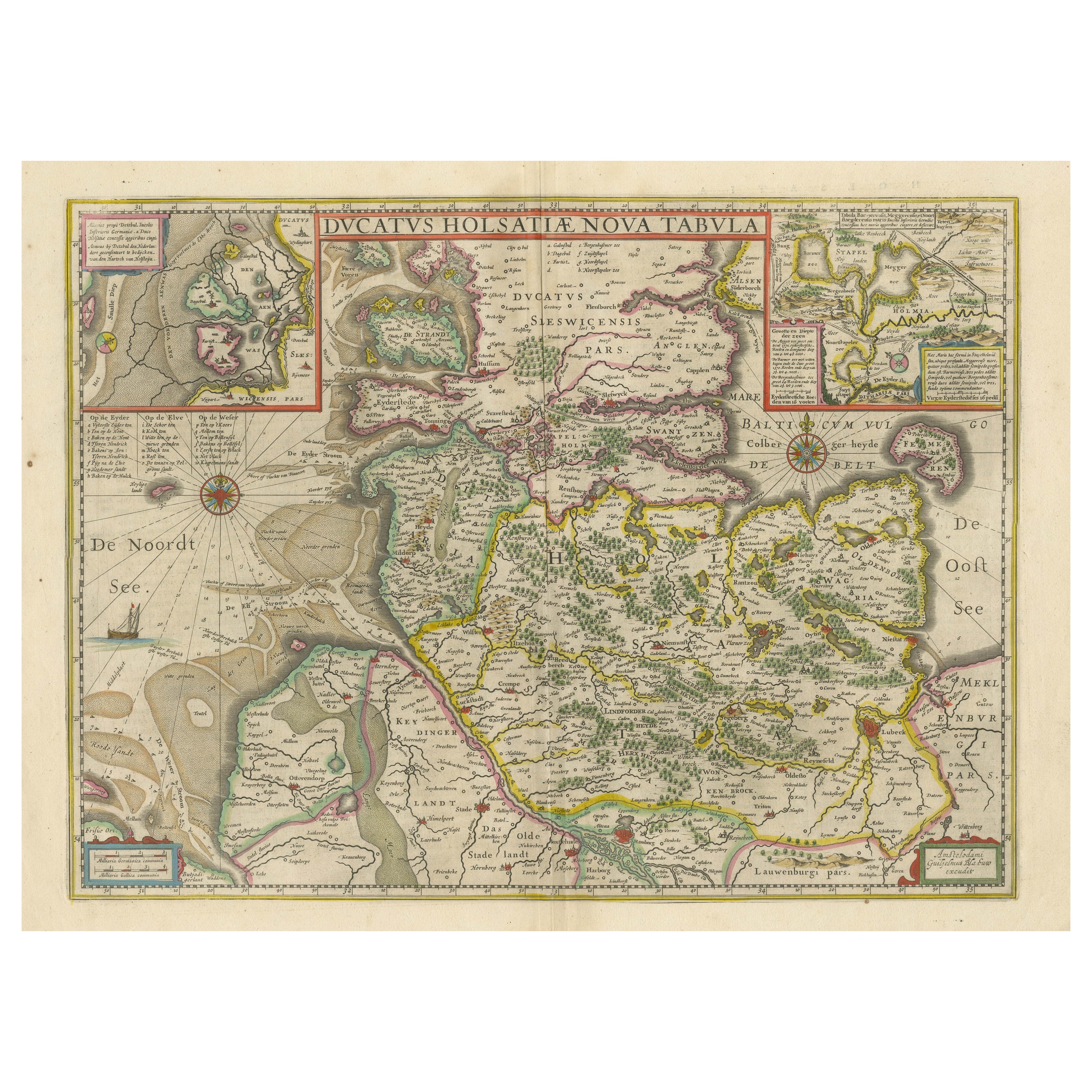

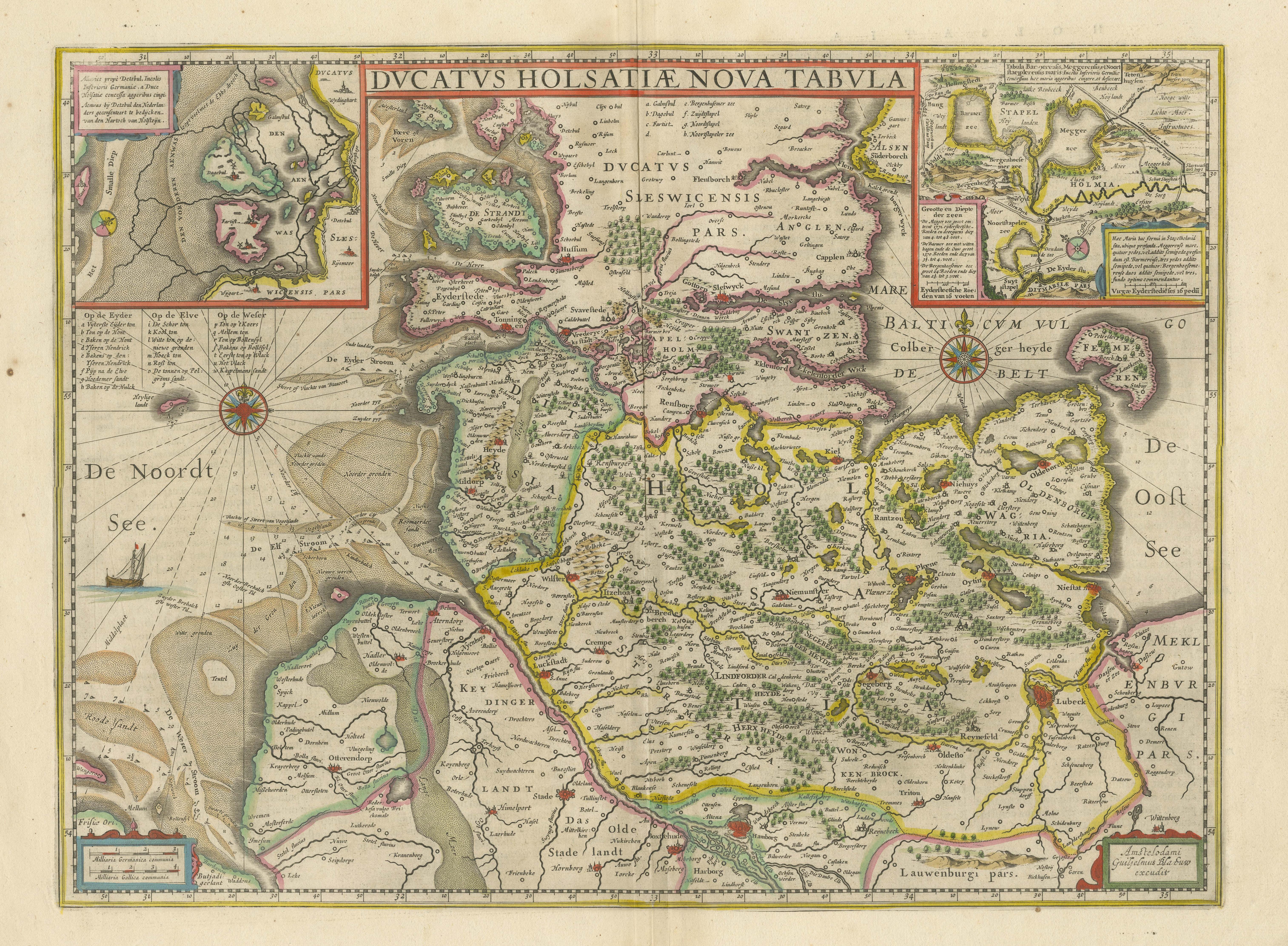
Antique map titled 'Ducatus Holsatiae Nova Tabula'. Original old map of the Duchy of Holstein, the northernmost territory of the Holy Roman Empire, from the mid-17th Century. To the north lies the Danish Duchy of Schleswig. In the south are Meklenburg and Lower Saxony. Fehmarn Island lies just off Holstein’s Baltic coastline. The strategically and commercially important great port cities of Hamburg, Kiel and Lubeck are all shown on the map. Holstein is crisscrossed with waterways: the Elbe river being the most prominent, and together with Trave, provided pathways for the region’s trade. The vessel depicted in the North Sea approaching the sandbars suggests the importance of trade to the region. Relief depicted pictorially.
Two inset box provide further detail of the specific locales. The inset box in the upper left shows the marshy coastal area around Dagebüll on the western coast. The depicted wierde/terp (artifical artificial dwelling mound) that were created in the marshy, low-lying reclaimed land to provide safe ground during storm surges, high tides and sea or river flooding. The inset box in the top right corner shows the area in and around Stapelholm. Cartouches in the lower corners contain bar-scales and provenance details. Annotative text in the North Sea. Two compass roses lie on either side of Holstein.
Willem Janszoon Blaeu (1571-1638) was a prominent Dutch geographer and publisher. Born the son of a herring merchant, Blaeu chose not fish but mathematics and astronomy for his focus. He studied with the famous Danish astronomer Tycho Brahe, with whom he honed his instrument and globe making skills. Blaeu set up shop in Amsterdam, where he sold instruments and globes, published maps, and edited the works of intellectuals like Descartes and Hugo Grotius. In 1635, he released his atlas, Theatrum Orbis Terrarum, sive, Atlas novus.