About this sheet
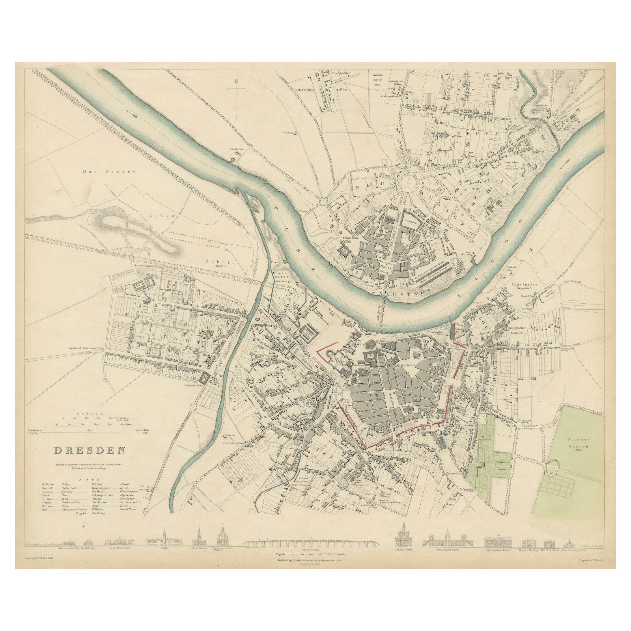
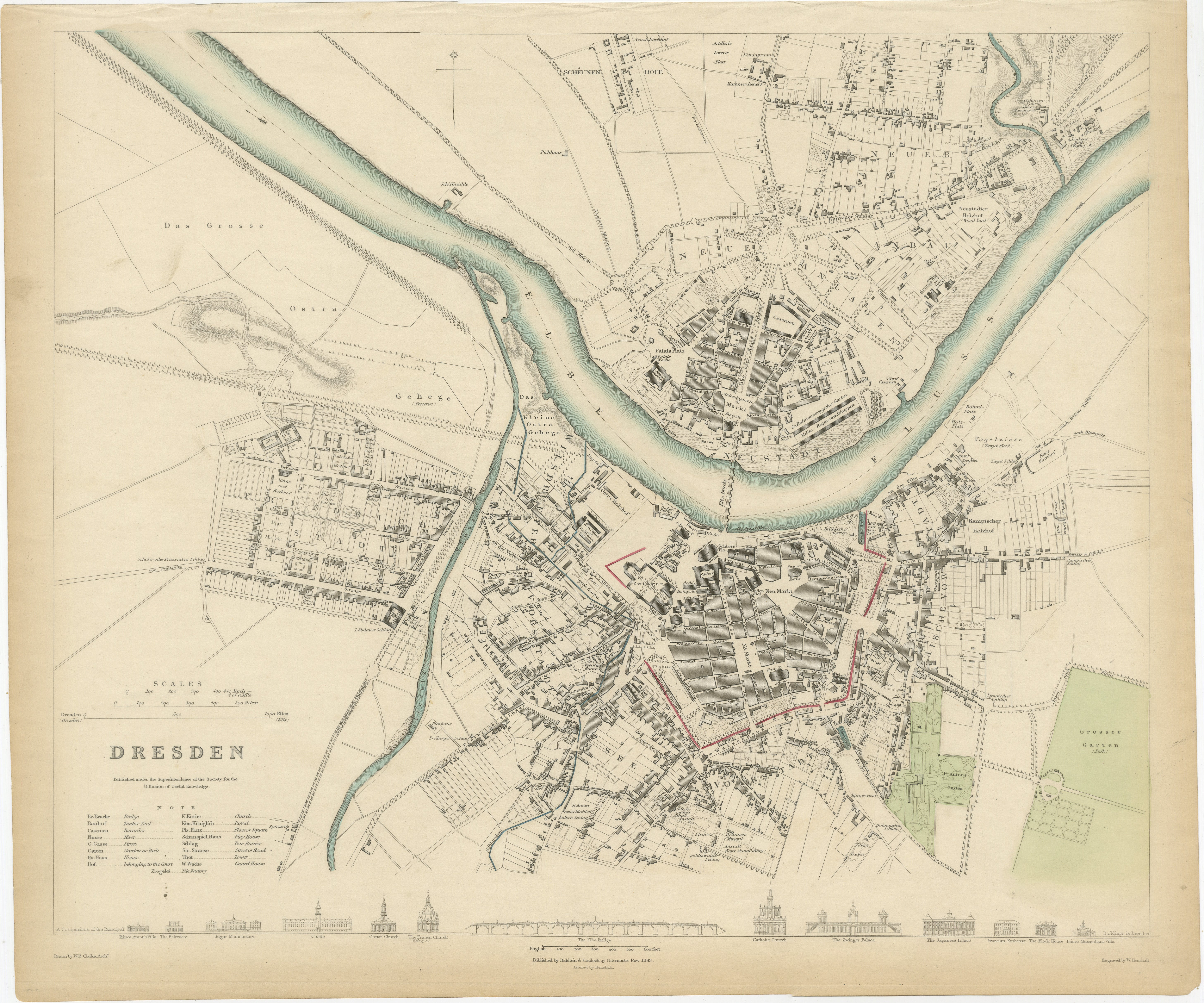
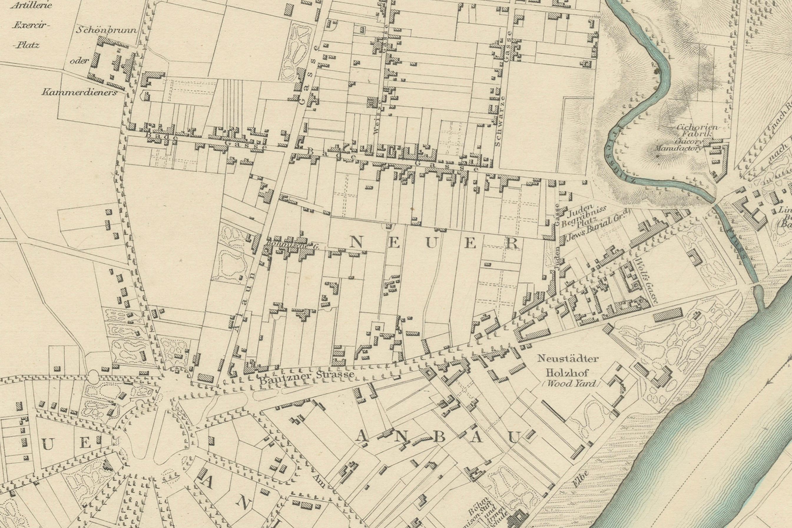
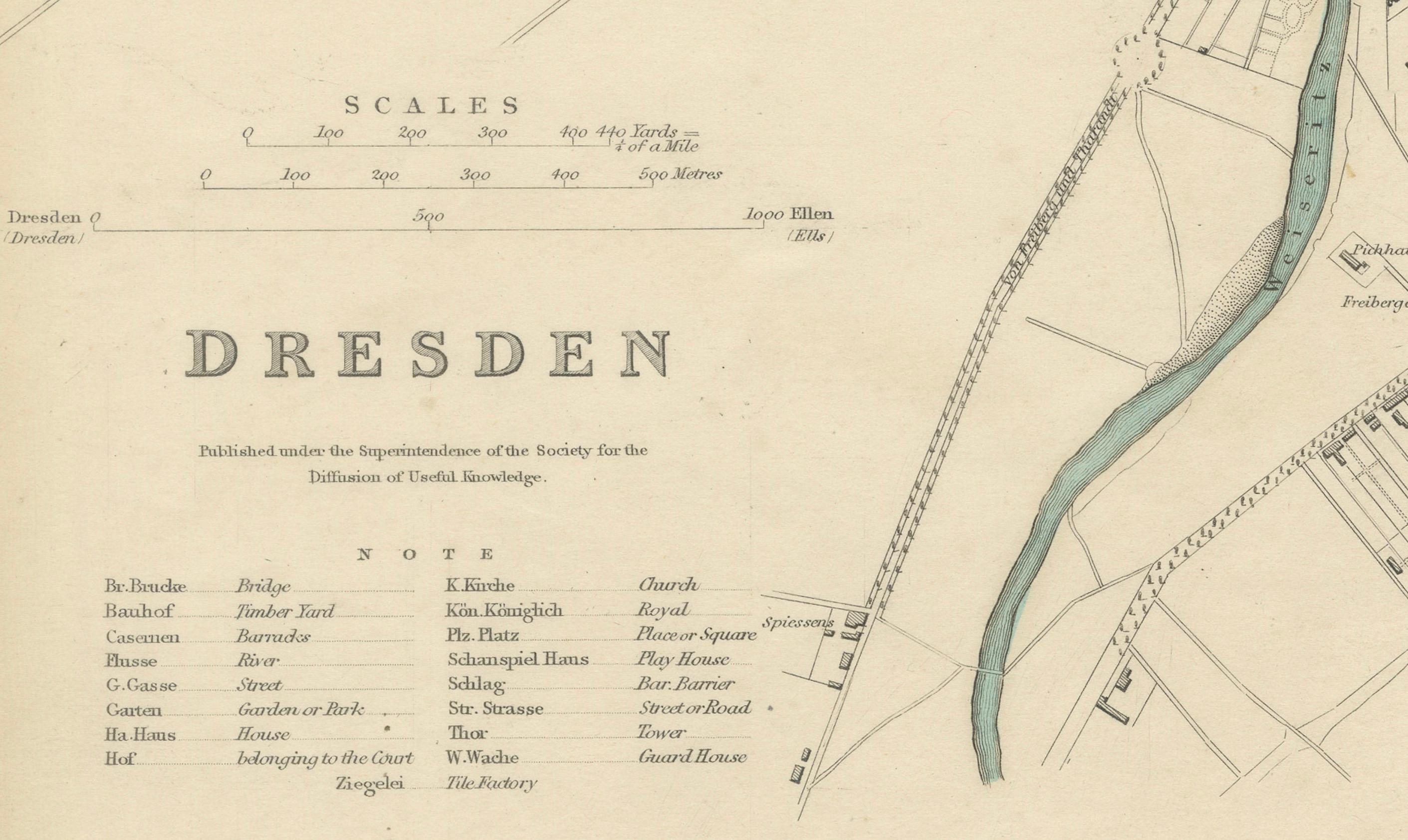
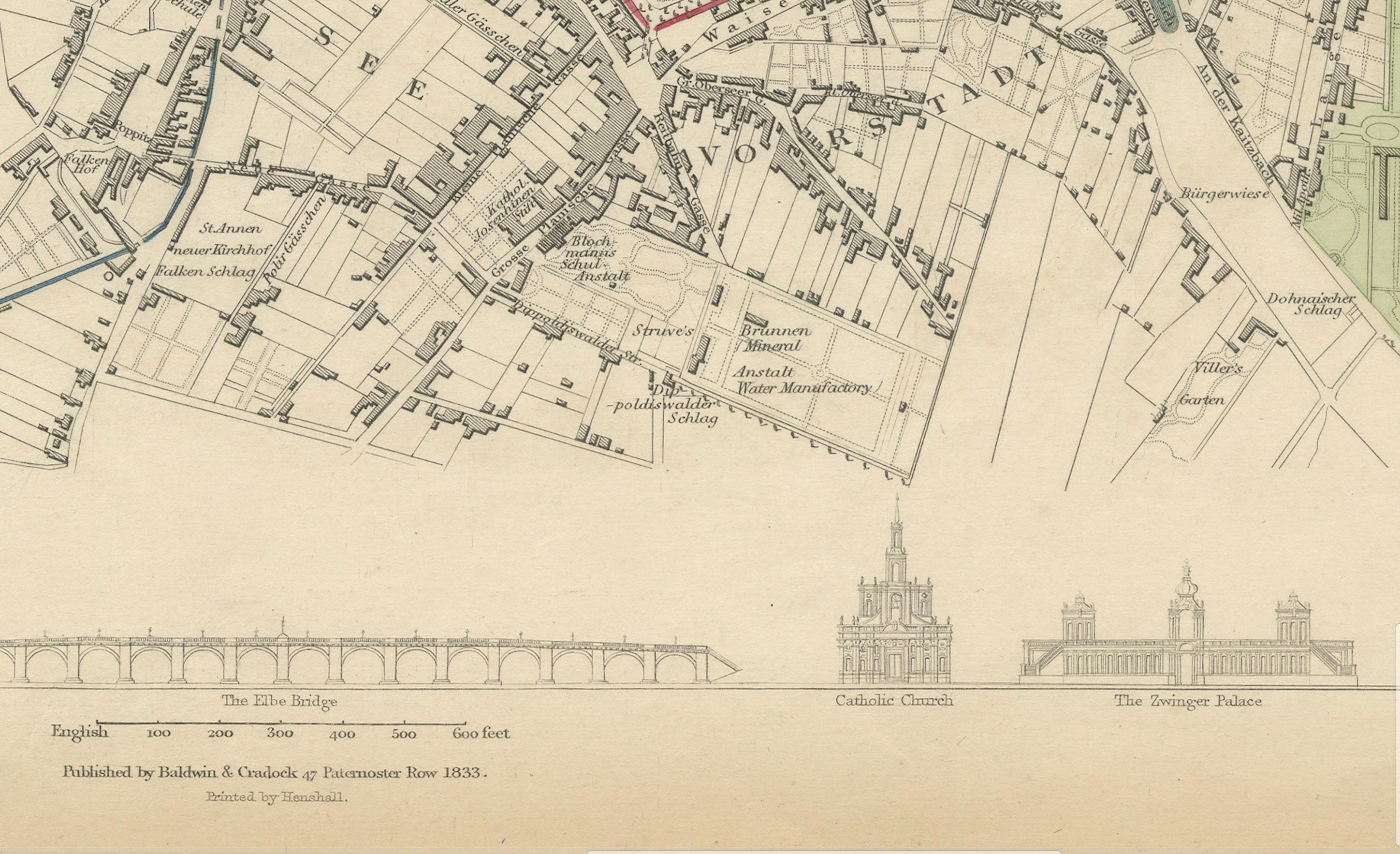
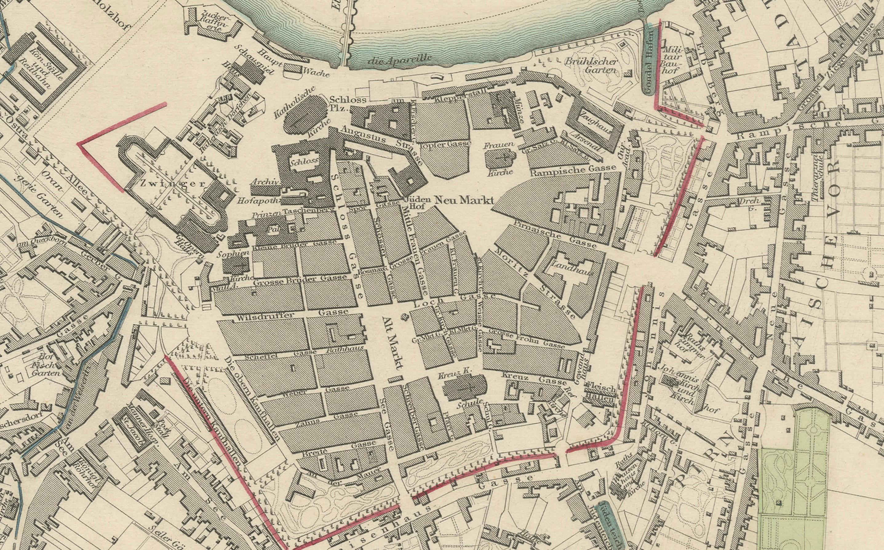
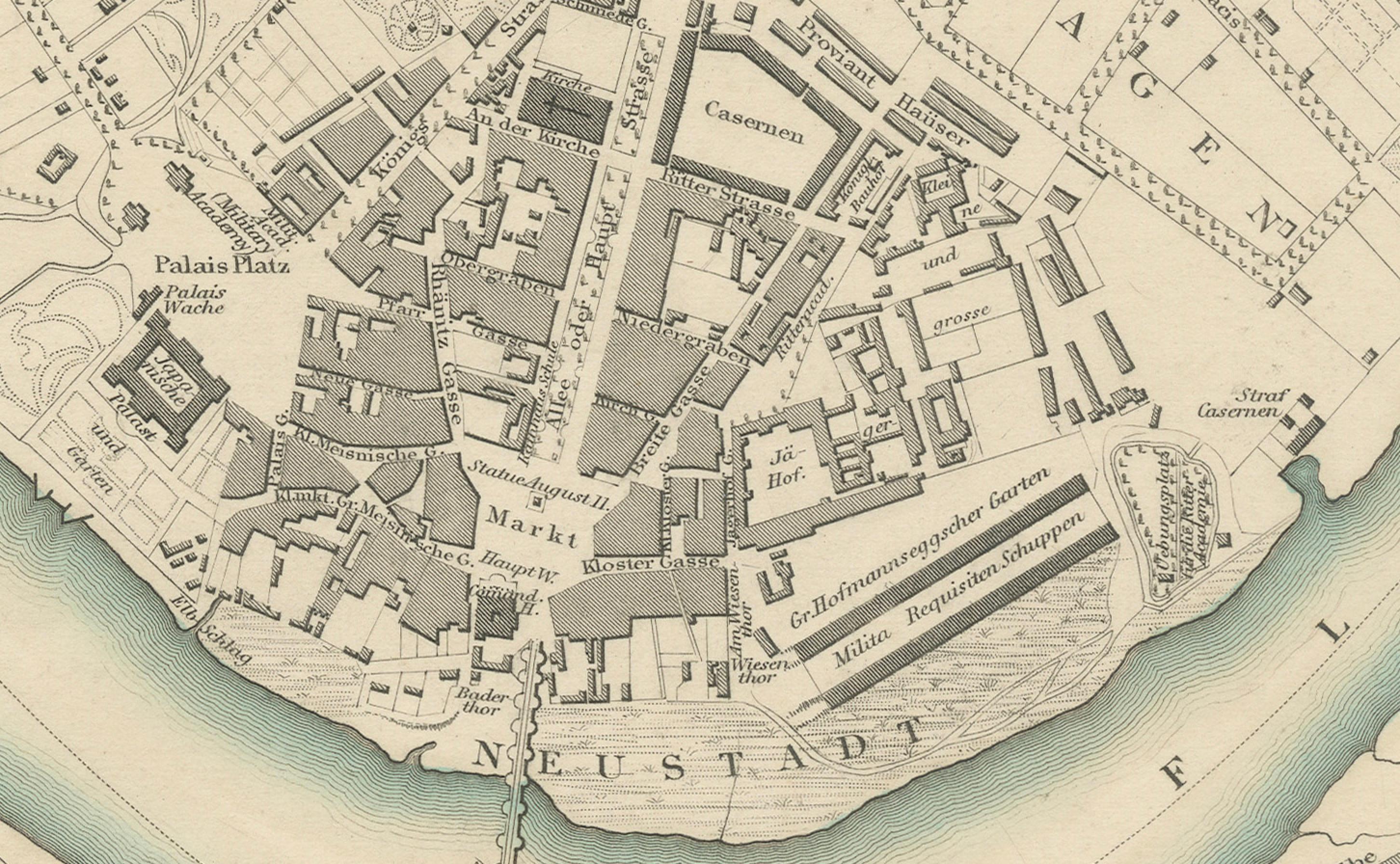
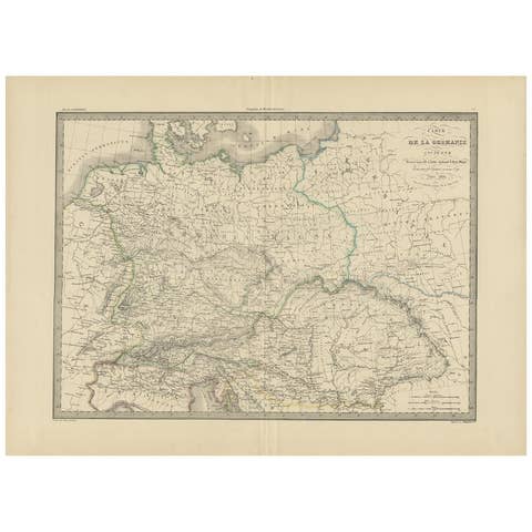
Dresden, depicted in this antique map by Baldwin & Cradock from 1833, was a historically significant city in Saxony, Germany. This map, published under the supervision of the Society for the Diffusion of Useful Knowledge, offers an intricate look at Dresden and its surrounding areas, showing the urban layout as it was in the early 19th century. Hand-colored and finely engraved, the map highlights landmarks, streets, fortifications, and the flowing course of the Elbe River. The old town area is distinctively marked, reflecting Dresden's status as a major center of art, culture, and commerce during that period.
Dresden, often called the "Florence on the Elbe" due to its remarkable art collections and Baroque architecture, was an important cultural hub in Europe. During the 18th and 19th centuries, Dresden flourished as the capital of the Kingdom of Saxony, known for its royal palace, the Frauenkirche, Zwinger Palace, and numerous museums. This map captures the grandeur of Dresden before many modern changes reshaped its layout, preserving a snapshot of its historical prominence.
World War II brought tragedy to Dresden. On February 13-15, 1945, Allied forces bombed the city in a series of devastating air raids, leading to widespread destruction. The beautiful Baroque and Rococo architecture, as well as significant cultural and historical buildings, were reduced to rubble. The bombings killed tens of thousands of people and erased centuries of architectural heritage, turning Dresden from a symbol of cultural prosperity to a stark example of the devastation of war. The post-war years saw considerable reconstruction efforts to restore some of its lost landmarks, and Dresden today stands as a city that has rebuilt itself while still bearing the scars of its wartime past.
This map provides historical context to Dresden's cityscape before the devastation of World War II, offering an invaluable look into the original layout and splendor of this once culturally rich city. It is a powerful reminder of Dresden's historical importance and the profound impact of the war on European cities.
Condition report: The map is in very good condition, with minor aging and some slight toning along the margins, typical for a piece of this age.